Elevation of Fremont, NY, USA
Location: United States > New York > Sullivan County >

Longitude: -75.037750

Latitude: 41.8604367

Elevation: 478m / 1568feet

Barometric Pressure: 96KPa

Elevation Map:

elevation map of Fremont, NY, USA
Satellite Map:

Satellite map of Fremont, NY, USA

Related Photos:

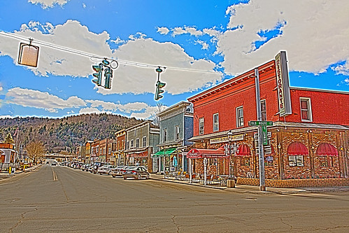
city newyork landscape town unitedstates country scenic flyfishing roscoe hdr sullivancounty scenicview trouttown
HV-1412.jpg
morning trees fog view
Pretty Morning View
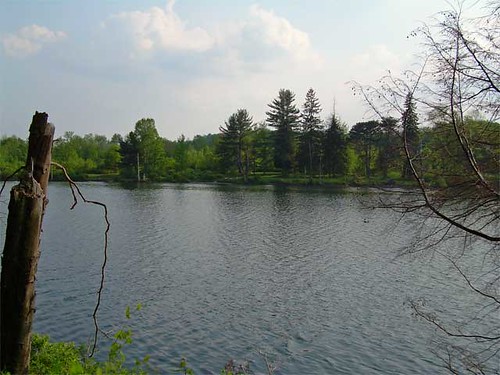
lake ny water geotagged sullivan roscoe crystallake geolat4187142 geolon7502388
Lake view
trees fog evening view
Pretty Evening View
trees fog evening view
Pretty Evening View
trees fog evening view
Pretty Evening View
trees red fog barn evening view
Pretty Evening View
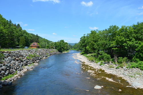
river beaverkill delawarecountyny cooksfallsny
Beaver Kill Views
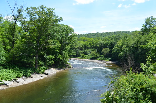
river beaverkill delawarecountyny cooksfallsny
Beaver Kill Views
morning trees green fog view
Pretty Morning View
Country View, state of NY
lake ny water geotagged sullivan roscoe crystallake geolat4187142 geolon7502388
Lake view
Country View, state of NY
trees red fog barn evening view
Pretty Evening View
morning trees green fog view
Pretty Morning View
summer 2005 catskills farm
Porch View
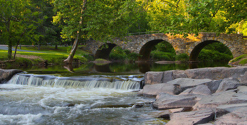
park bridge water creek odc stonearchbridge tamron1024mmlens
Evening At Stone Arch Bridge Park
bird creek commonmerganser canon55250mmislens
Reflected Merganser Brood
square sierra squareformat iphoneography instagramapp uploaded:by=instagram foursquare:venue=4fde2ca5e4b0e598b69cc13f
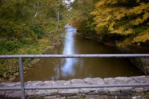
View from the bridge
View from the Stone Arch Bridge
explorer olympus historicallandmark garysprague olympuse620 newkensingtoncameraclub
Laundry Brook
_MG_0123_HDR.jpg
sky lake beach nature water photomanipulation landscape boat photo manipulation livingstonmanor shandelee scenicsnotjustlandscapes lakeshandelee
Lake Shandelee
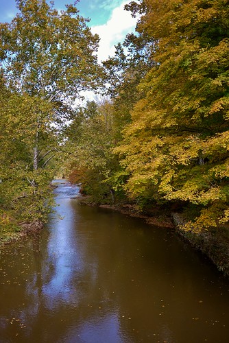
Fall Catskills, NY
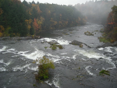
River 2
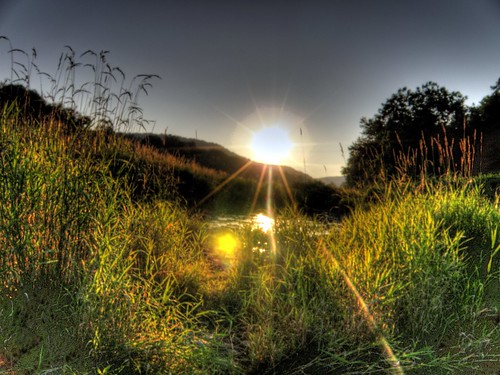
Puddle Sunset
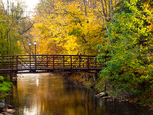
bridge newyork color colour tree nature architecture landscape architecturaldetail explorer olympus transportation attractive colourful riveradventure masstransportation stonearchbridge historicallandmark architecturaldesigns garysprague libertynewyork olympuse620 arcatechture newkensingtoncameraclub catskillscatskillmountains jeffersonvillenewyork
The Old Stone Arch Bridge
square squareformat iphoneography instagramapp uploaded:by=instagram foursquare:venue=4ca6458ff47ea143e1ff5e21
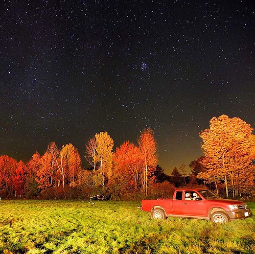
#stars above and #truck below. #eddieadamsworkshop #eddieadams #fall
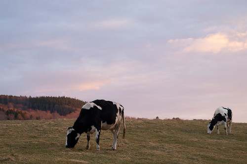
autumn trees sky newyork color fall nature field grass landscape cow farm wildlife sullivan
Can I help you?
phone crackberry
IMG-20110723-00555.jpg
Beaverkill River, Cooks Falls, NY
bridge newyork color colour tree nature architecture landscape architecturaldetail explorer olympus transportation attractive colourful riveradventure masstransportation stonearchbridge historicallandmark architecturaldesigns garysprague libertynewyork olympuse620 arcatechture newkensingtoncameraclub catskillscatskillmountains jeffersonvillenewyork
The Old Stone Arch Bridge
animals barnsfarms
20110102 032
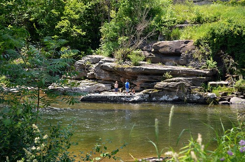
people river beaverkill delawarecountyny cooksfallsny
Boys Fishing 2
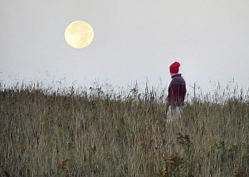
moon nature photomanipulation photo manipulation
Will with the moon
travel trees color fall landscape unitedstates pennsylvania farm country scenic farmland pa damascus vacations countryroads
Making Hay
square lofi squareformat iphoneography instagramapp uploaded:by=instagram foursquare:venue=4fde2ca5e4b0e598b69cc13f
Up the river