Elevation of Long Eddy, NY, USA
Location: United States > New York > Sullivan County > Fremont > Long Eddy >
Longitude: -75.131187
Latitude: 41.8728068
Elevation: 550m / 1804feet
Barometric Pressure: 95KPa
Elevation Map:
Satellite Map:
Related Photos:

Delaware River View

my favorite thing about working with children is getting to see how exactly they interpret and view the world through their writing and art.

Lake view
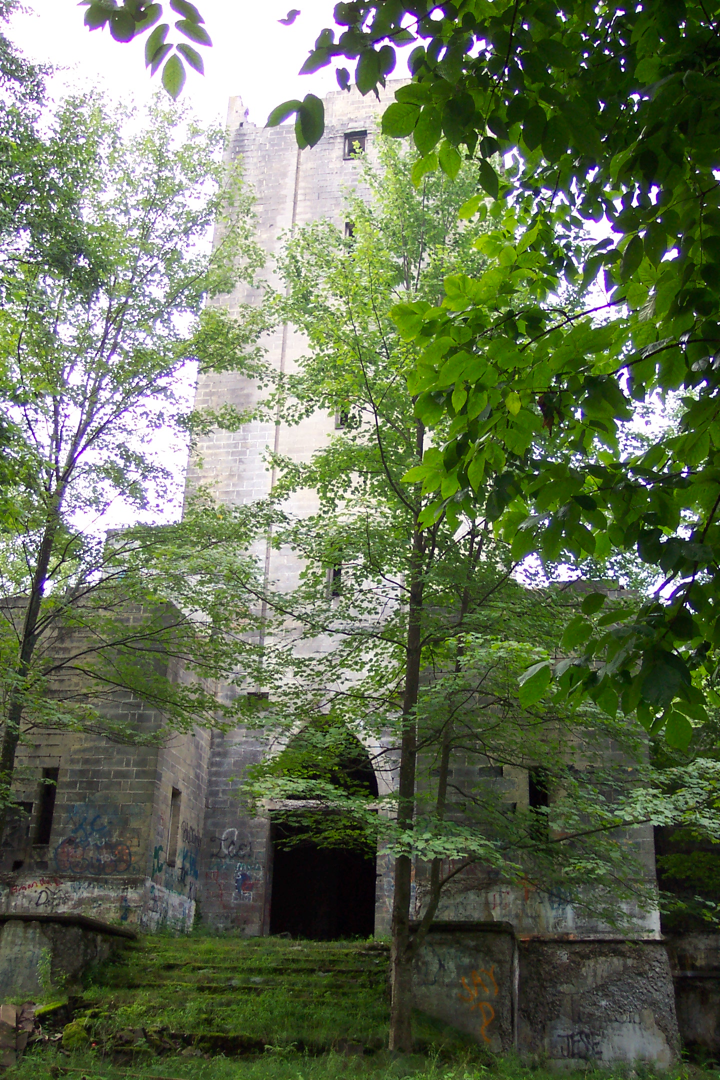
Hancock NY mausoleum

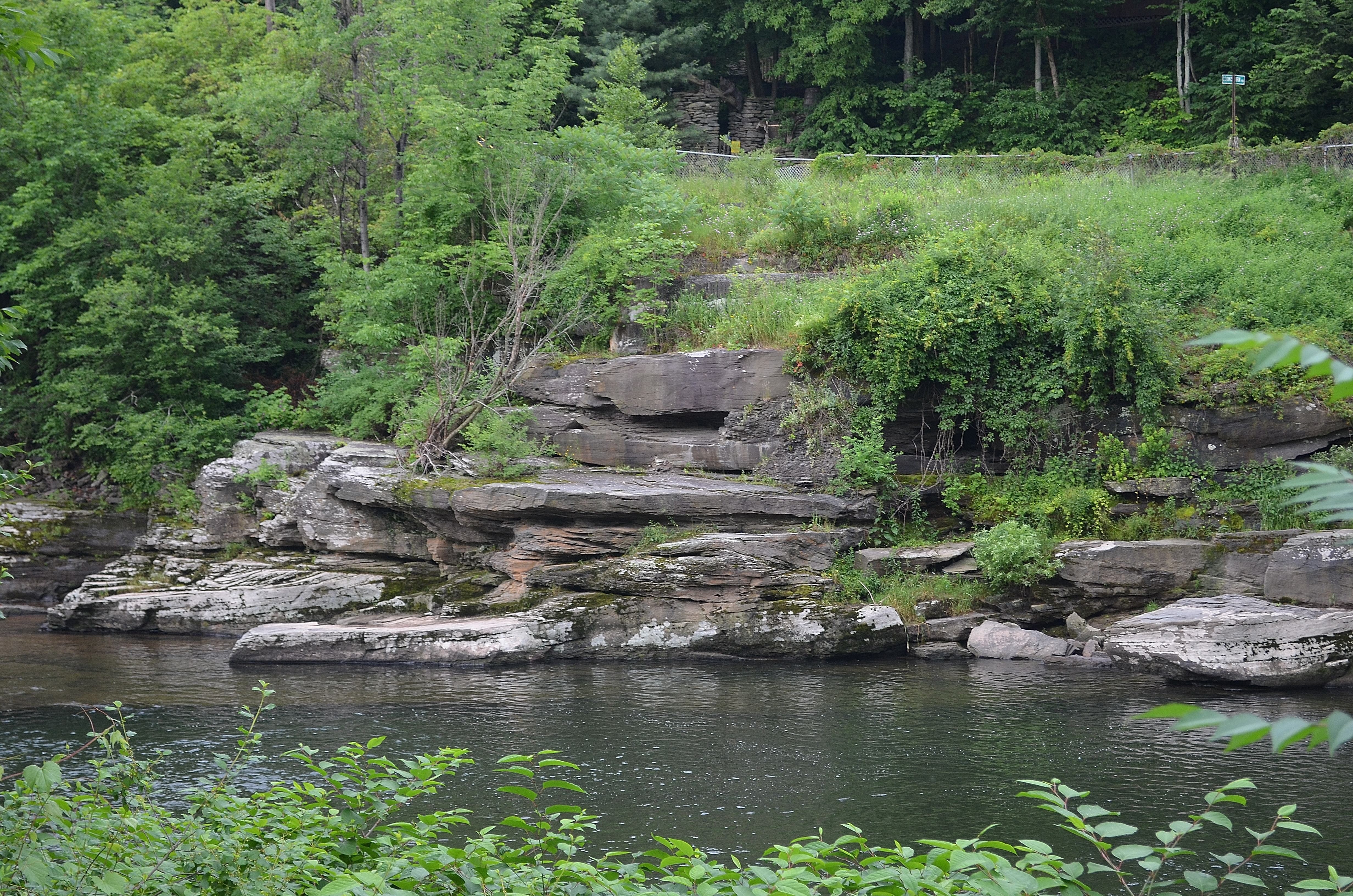
Beaver Kill Views

Beaver Kill Views

Lake view

Boys Fishing 2

#morning #trees | #nature #treatment | #fresh #air ???? | #upstate #hanckok | #inspiration

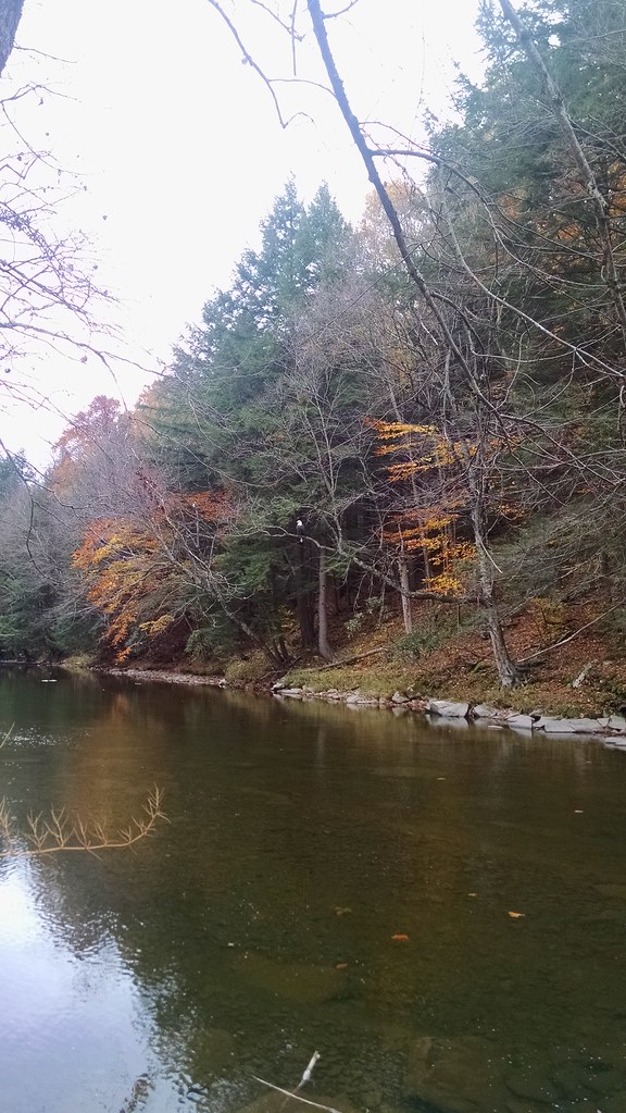
On the Delaware

West Branch, Delaware River
Rocks and Water

Delaware Water Gap,PA

Bouchoux Mountain Waterfall, New York
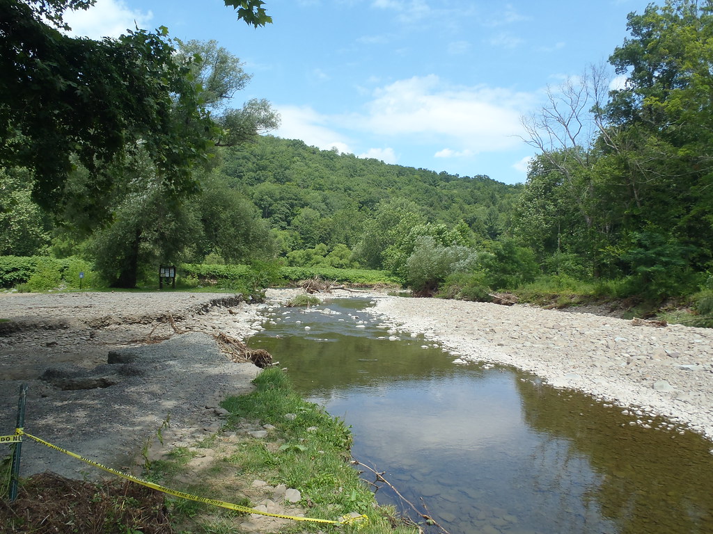
Shehawken Creek
HOBO Maintenance

Shehawken Creek

Delaware River at Callicoon

Delaware River at Callicoon
Topographic Map of Long Eddy, NY, USA
Find elevation by address:

Places near Long Eddy, NY, USA:
425 Hungry Hill Rd
56 Raspberry Park Rd
Long Eddy
757 Silas Tompkins Rd
3990 Hungry Hill Rd
3099 Hungry Hill Rd
36 John Milk Rd, Long Eddy, NY, USA
66 Milton Smith Rd
157 Neering Rd
1602 Bouchoux Brook Rd
River Road
53 Riverview Rd
Lordville
Fremont Center
Equinunk
Equinunk
Equinunk
Equinunk
Equinunk
Fremont
Recent Searches:
- Elevation of Corso Fratelli Cairoli, 35, Macerata MC, Italy
- Elevation of Tallevast Rd, Sarasota, FL, USA
- Elevation of 4th St E, Sonoma, CA, USA
- Elevation of Black Hollow Rd, Pennsdale, PA, USA
- Elevation of Oakland Ave, Williamsport, PA, USA
- Elevation of Pedrógão Grande, Portugal
- Elevation of Klee Dr, Martinsburg, WV, USA
- Elevation of Via Roma, Pieranica CR, Italy
- Elevation of Tavkvetili Mountain, Georgia
- Elevation of Hartfords Bluff Cir, Mt Pleasant, SC, USA