Elevation of Fremont Center, NY, USA
Location: United States > New York > Sullivan County > Fremont >
Longitude: -75.031908
Latitude: 41.8450803
Elevation: 443m / 1453feet
Barometric Pressure: 96KPa
Elevation Map:
Satellite Map:
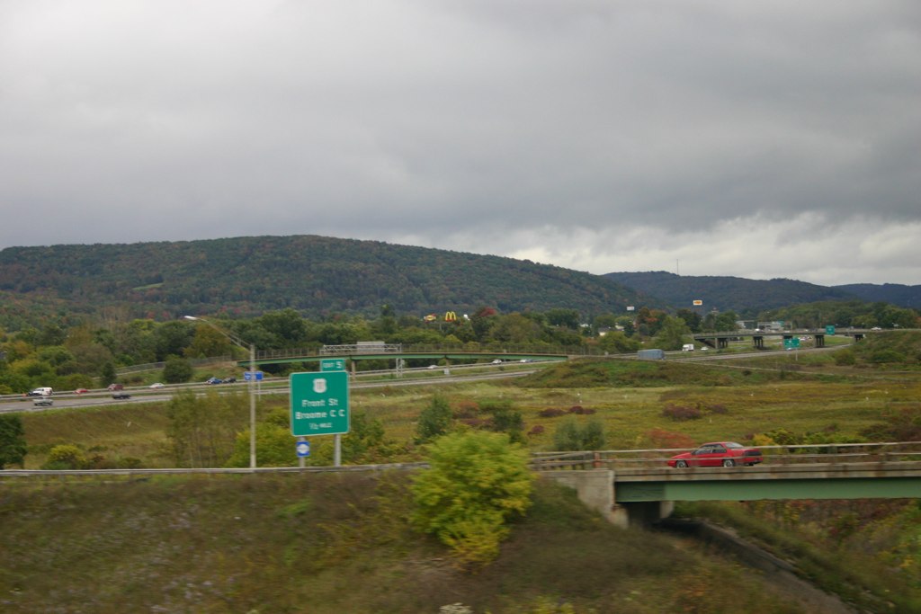
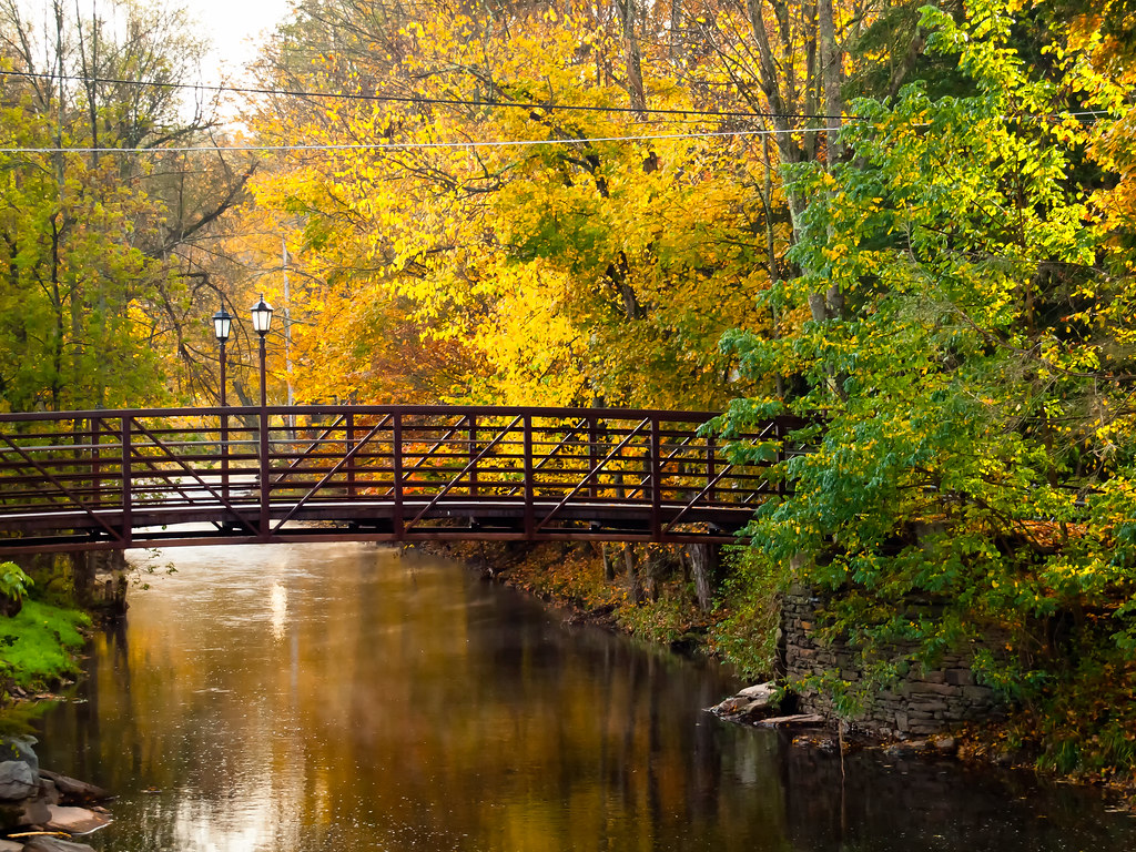
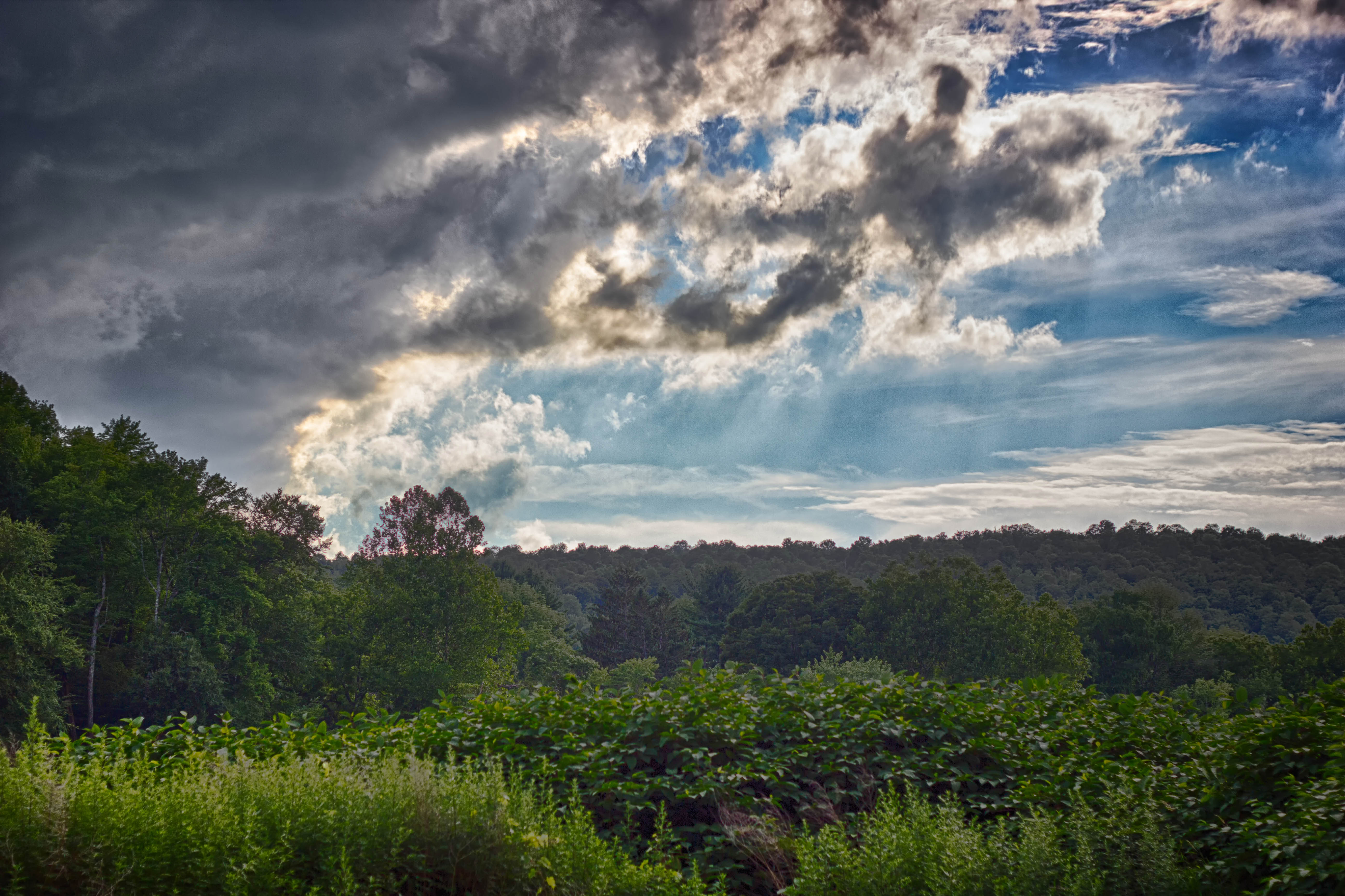
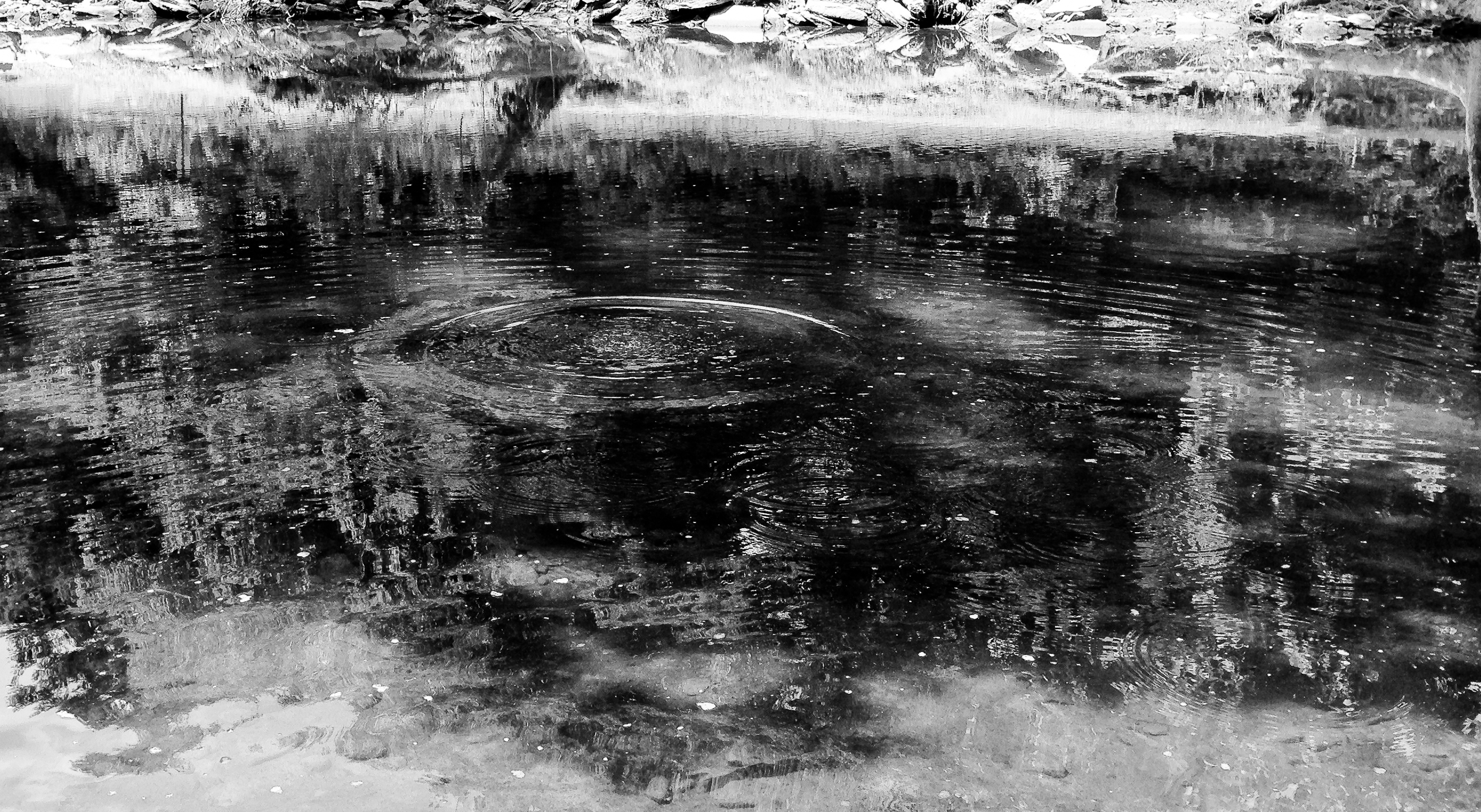
Related Photos:

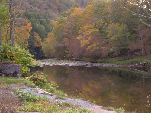
Evening At Stone Arch Bridge Park
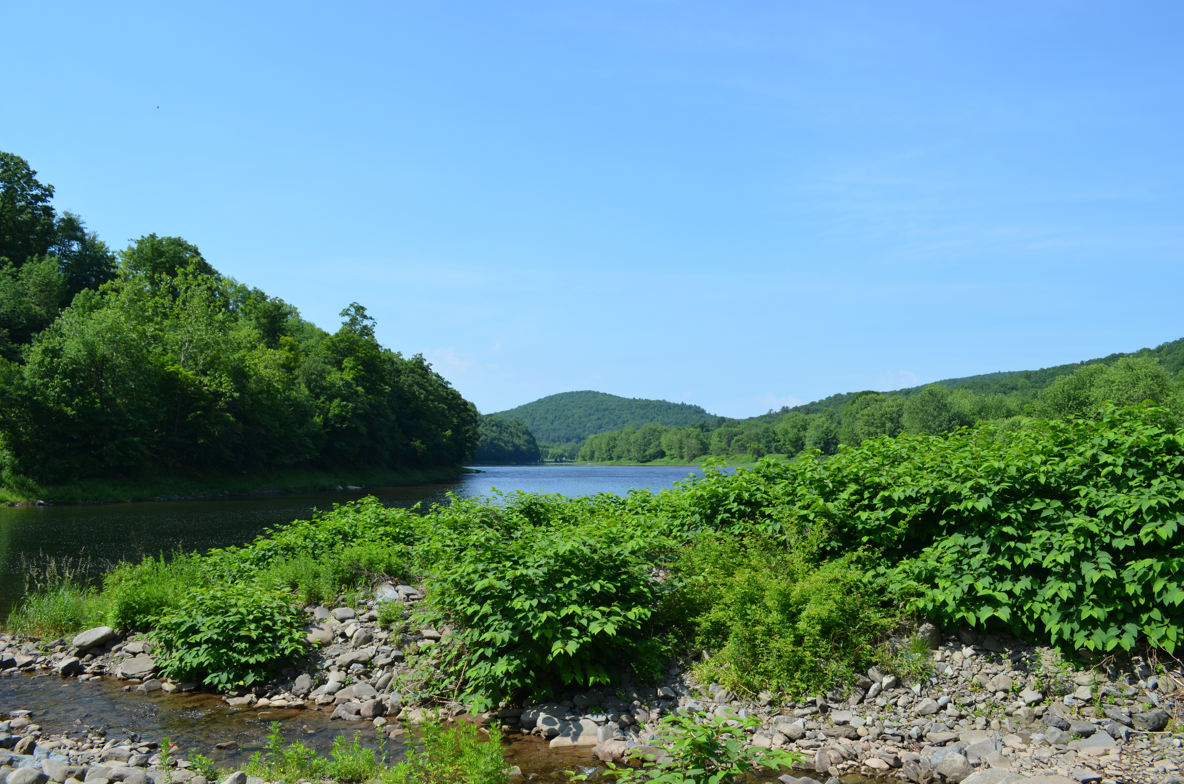
Delaware River View
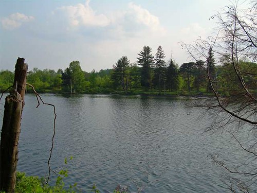
Lake view
View from the Stone Arch Bridge
HV-1412.jpg
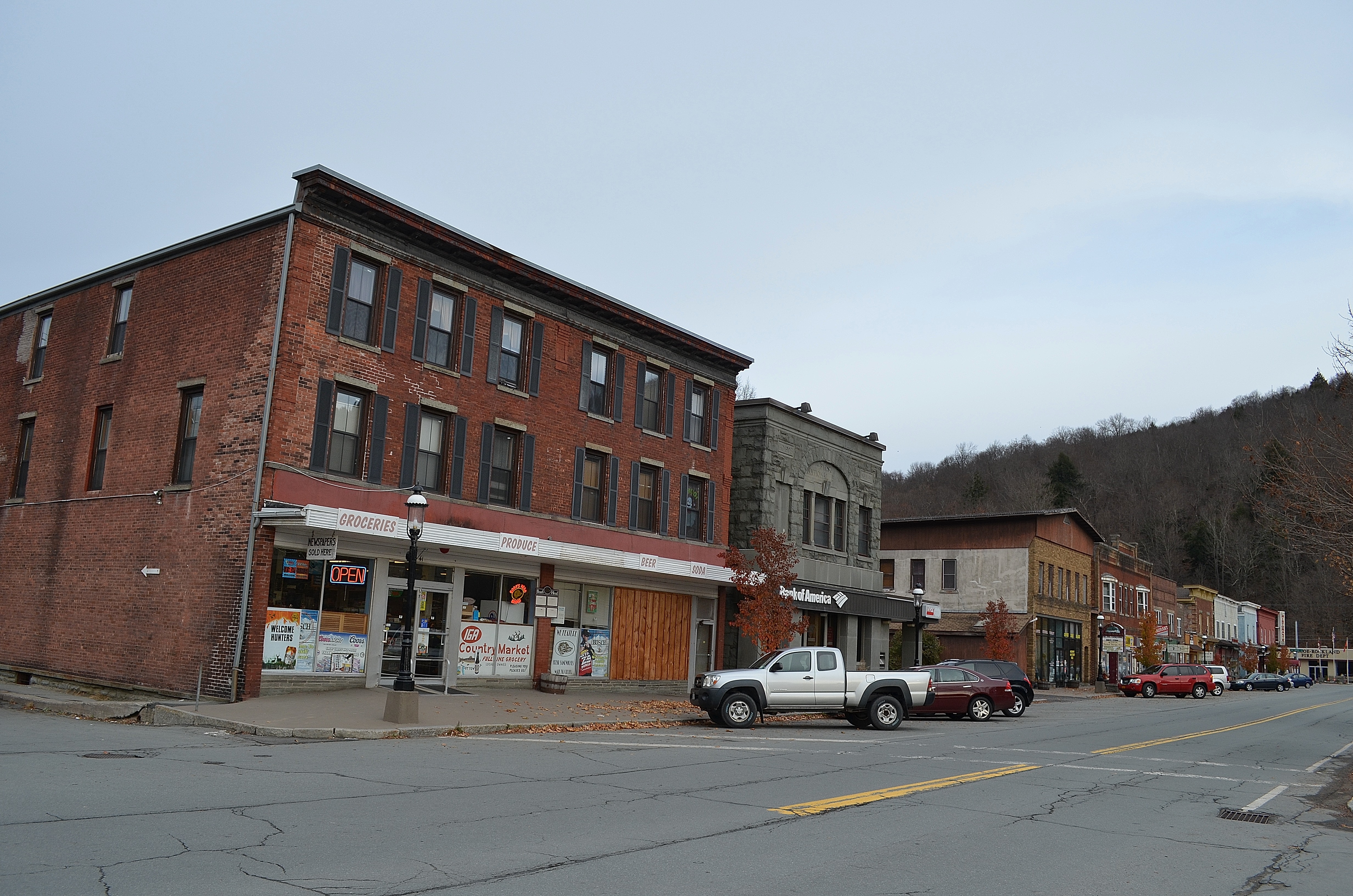
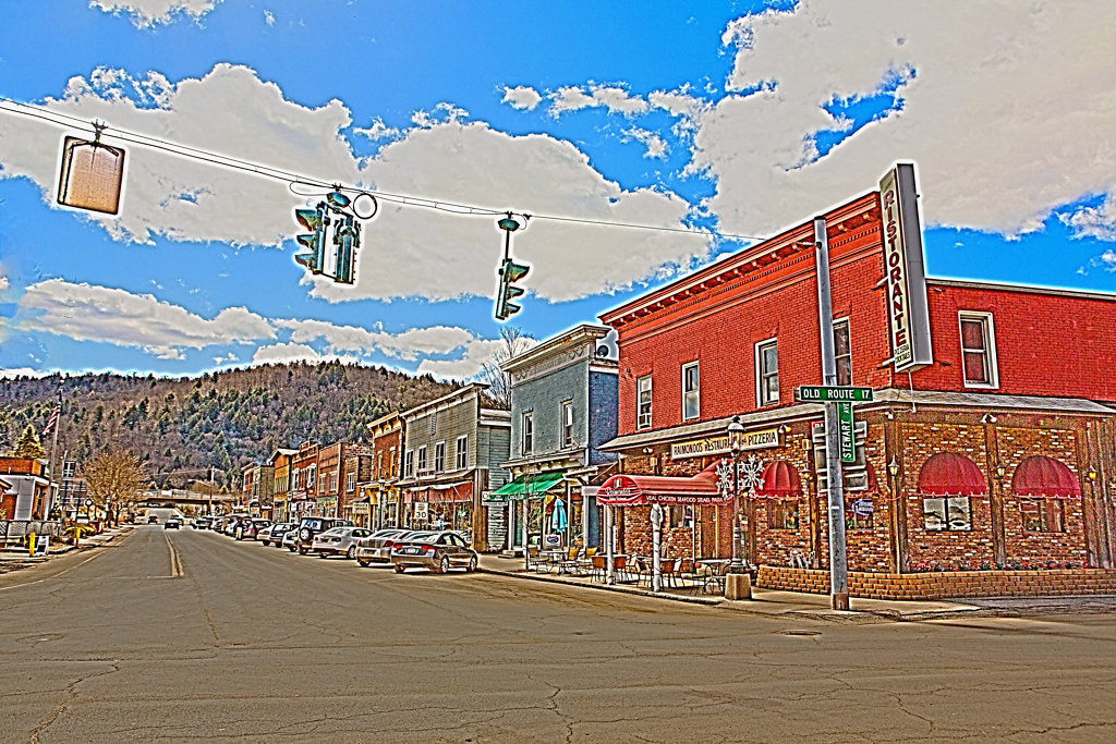
Roscoe, NY.
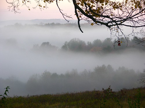
Fall Morning in the Countryside
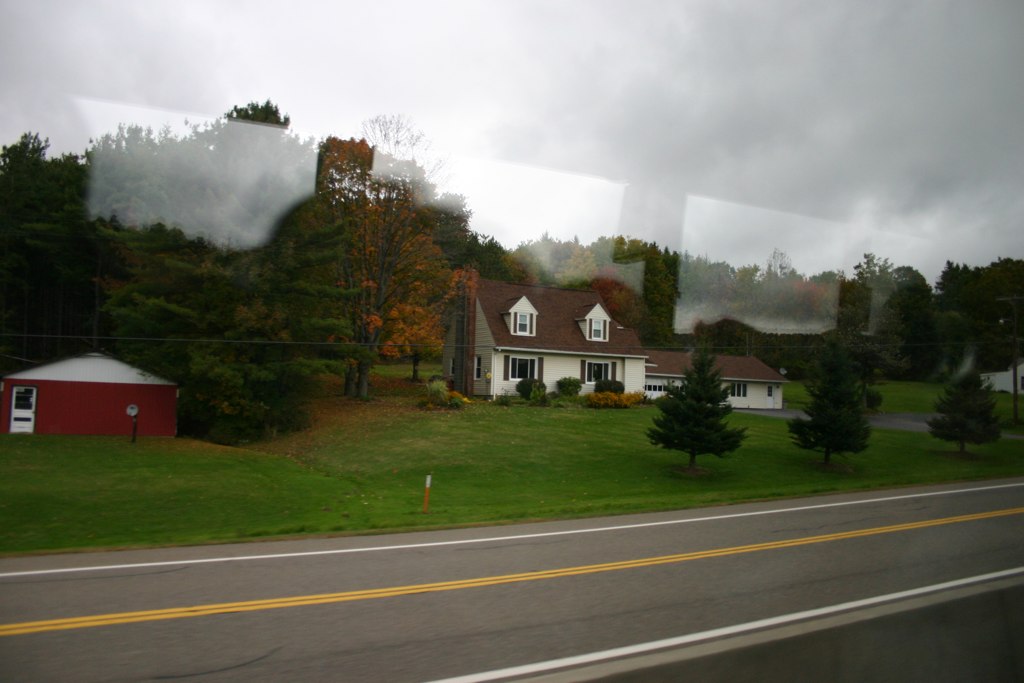
Country View, state of NY
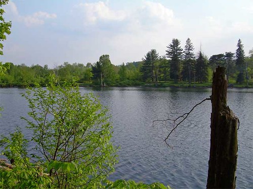
Lake view
Country View, state of NY

Reflected Merganser Brood

Lake Shandelee
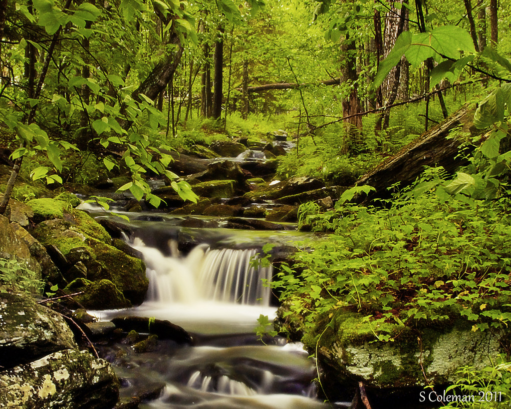
Laundry Brook
_MG_0123_HDR.jpg
After The Splash

Fall Catskills, NY

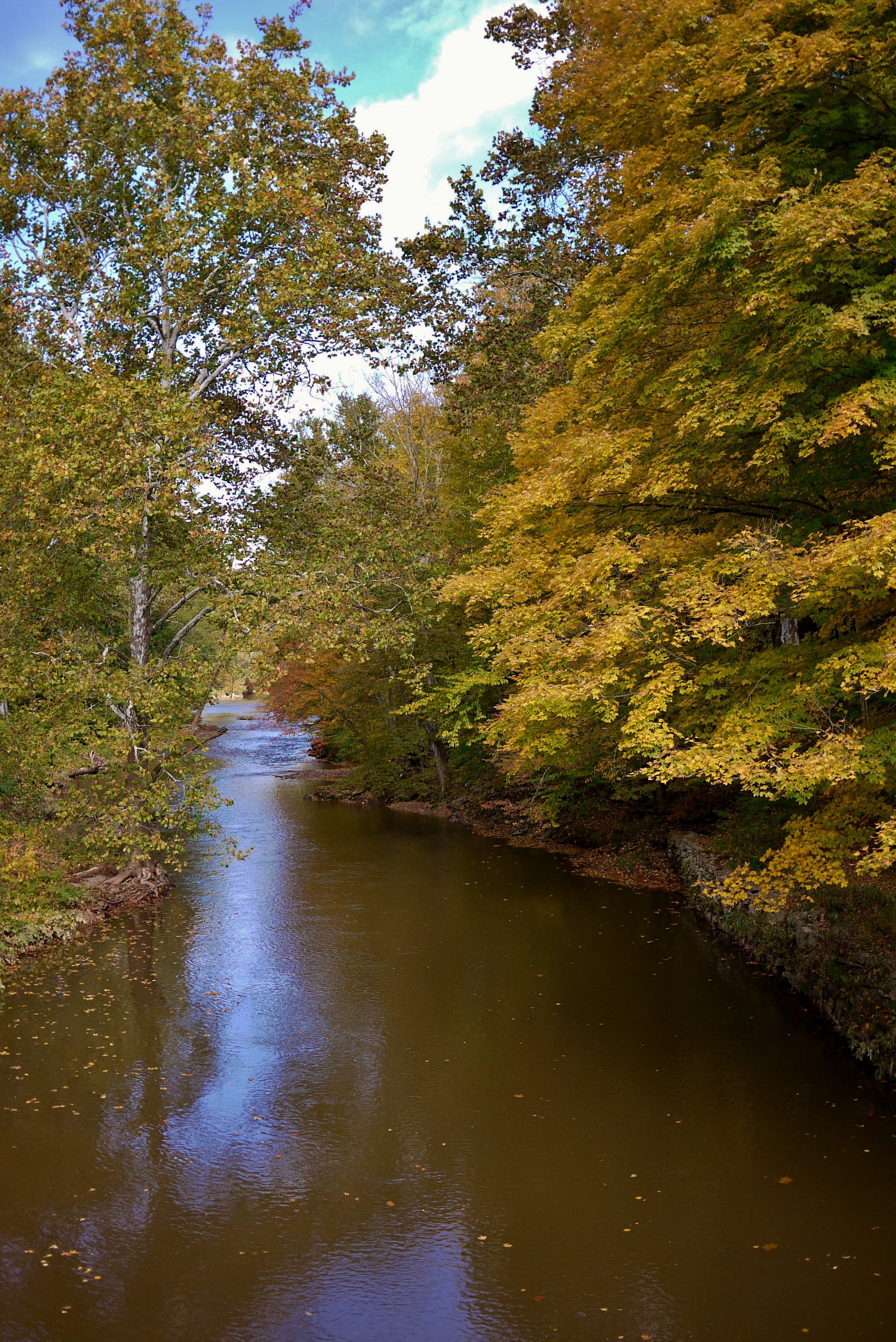
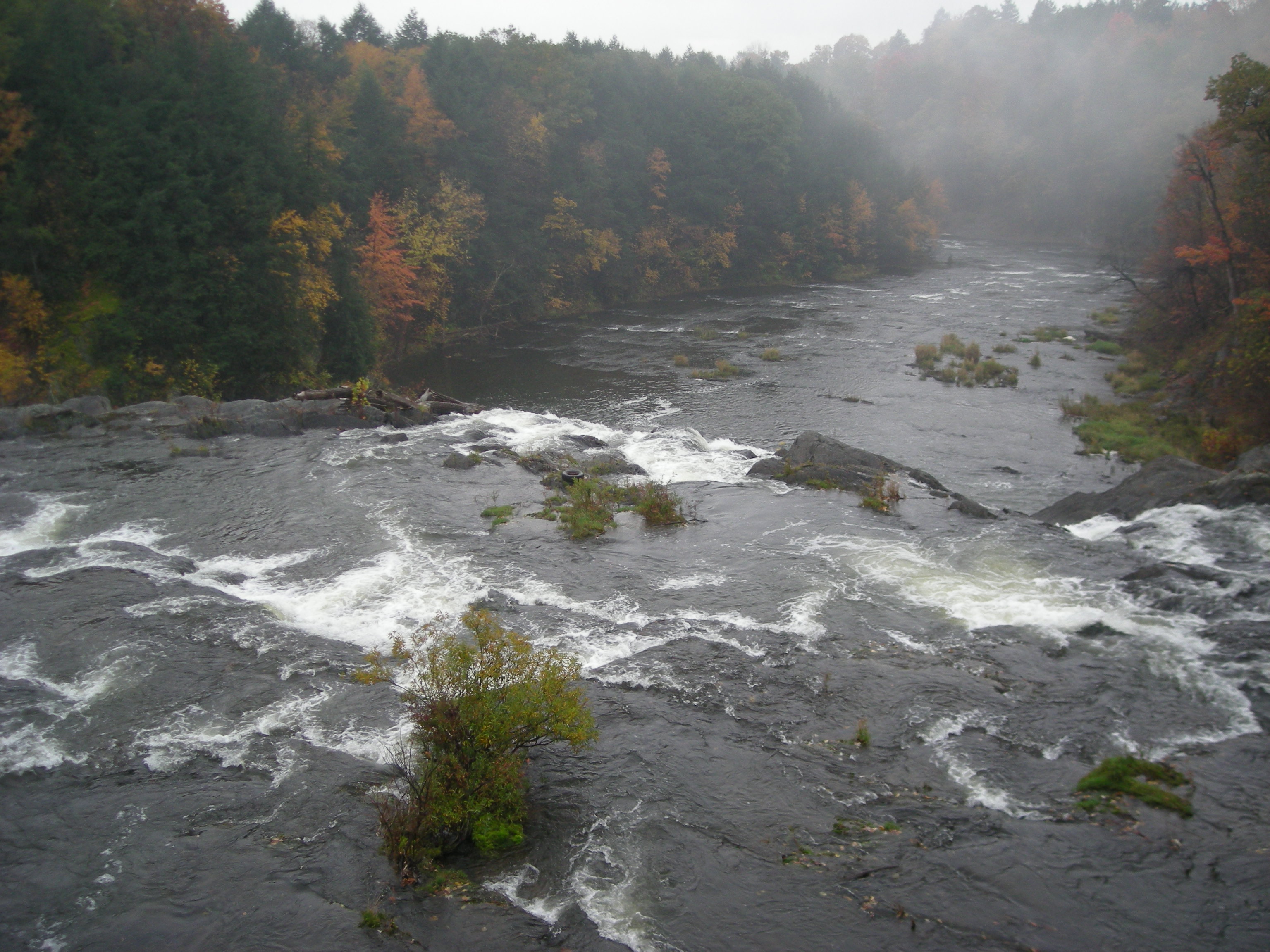
River 2

Can I help you?
Miniature Niagara

Making Hay

Puddle Sunset
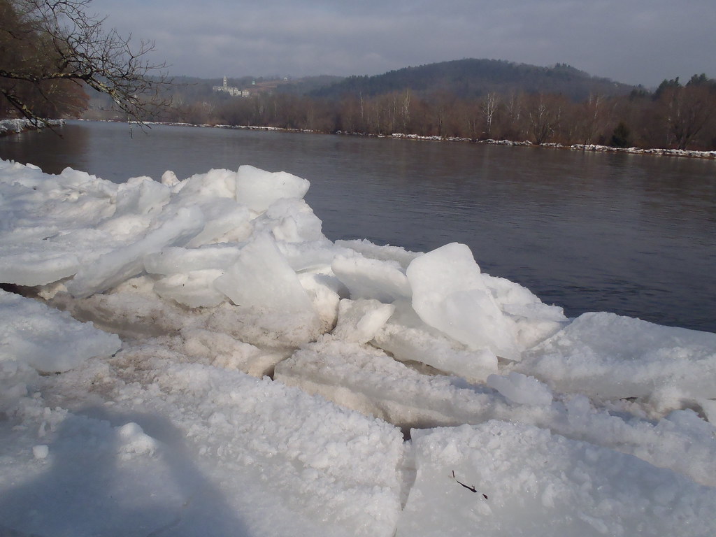
Delaware River at Callicoon
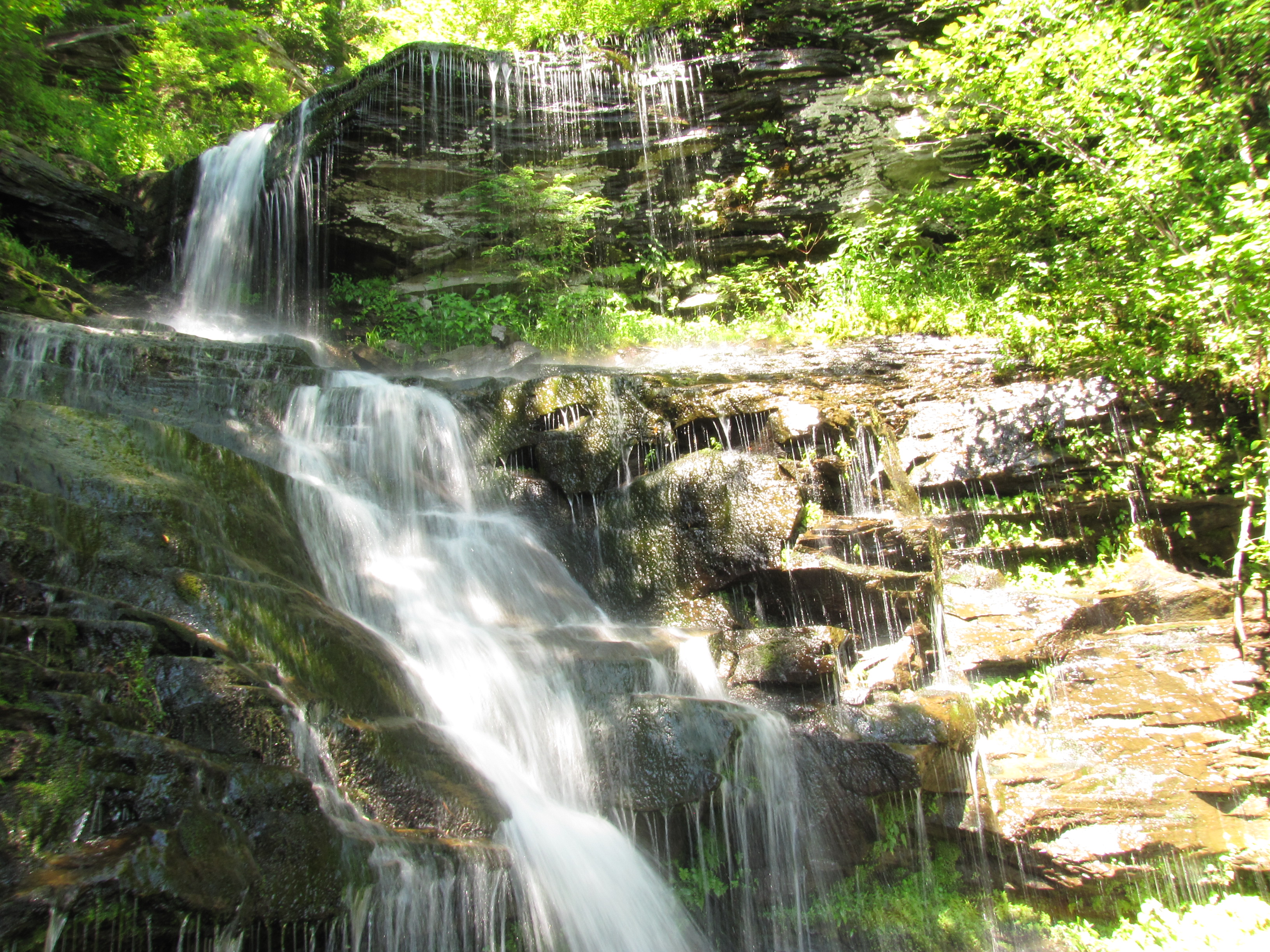
Bouchoux Mountain Waterfall, New York
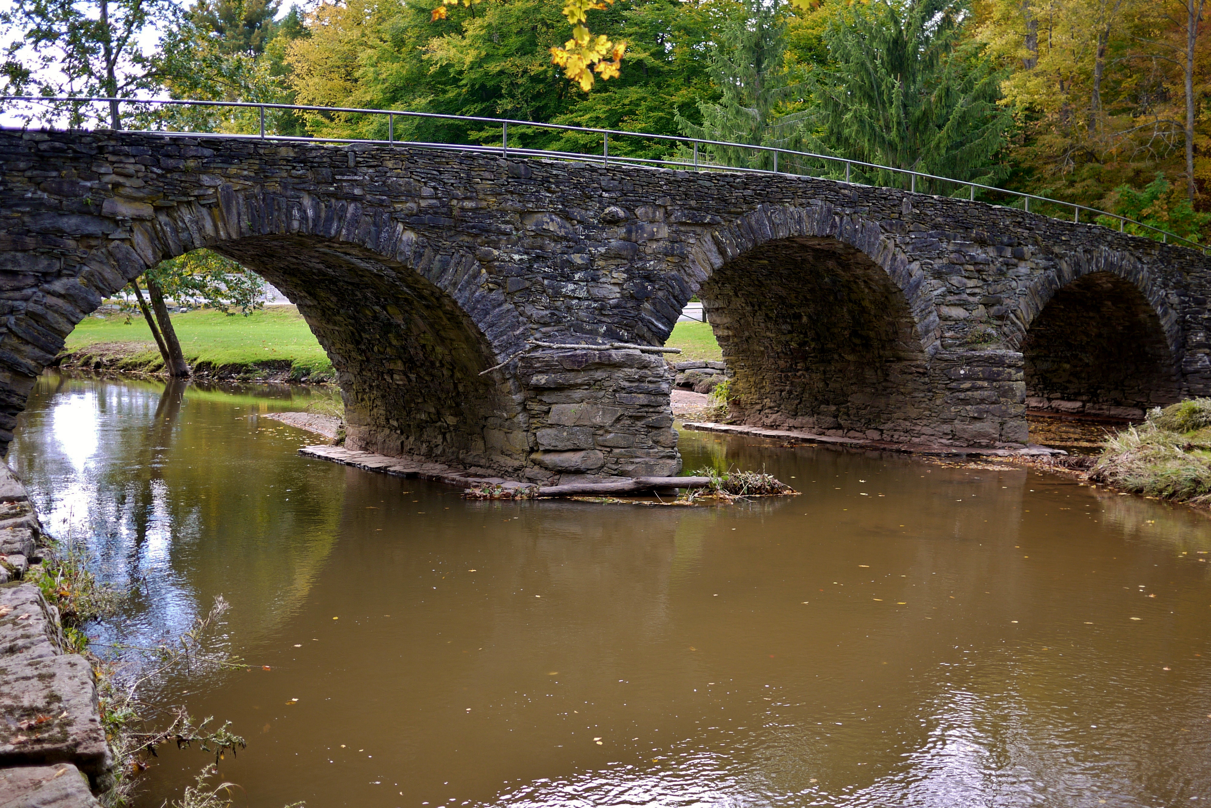
Stone Arch Bridge
Hazel bridge pool

View from the Stone Arch Bridge
Beaverkill River, Cooks Falls, NY
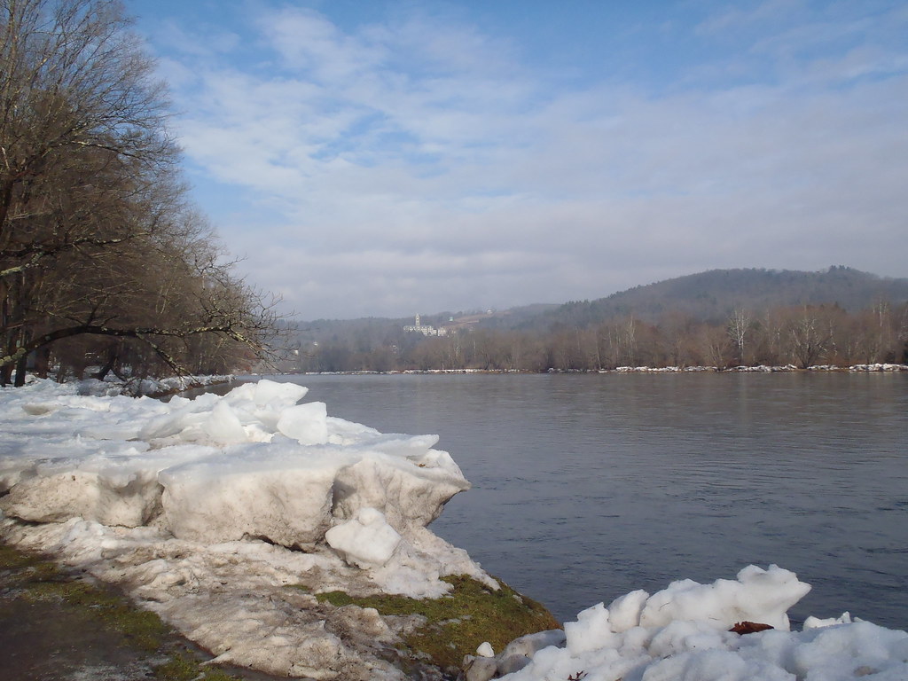
Delaware River at Callicoon

Will with the moon
Topographic Map of Fremont Center, NY, USA
Find elevation by address:

Places near Fremont Center, NY, USA:
Fremont Center
Fremont
Obernburg
County Road 93
99 Bestenheider Rd
17 Dee Dr
12 Dee Dr
98 Hornung Rd
132 Crowley Rd
Crowley Rd, Roscoe, NY, USA
36 John Milk Rd, Long Eddy, NY, USA
66 Milton Smith Rd
150 Bethlehem Rd
Long Eddy
56 Raspberry Park Rd
Long Eddy, NY, USA
1469 Doyle Rd
84 Seibert Rd
425 Hungry Hill Rd
46 Cooks Falls Rd, Roscoe, NY, USA
Recent Searches:
- Elevation of Corso Fratelli Cairoli, 35, Macerata MC, Italy
- Elevation of Tallevast Rd, Sarasota, FL, USA
- Elevation of 4th St E, Sonoma, CA, USA
- Elevation of Black Hollow Rd, Pennsdale, PA, USA
- Elevation of Oakland Ave, Williamsport, PA, USA
- Elevation of Pedrógão Grande, Portugal
- Elevation of Klee Dr, Martinsburg, WV, USA
- Elevation of Via Roma, Pieranica CR, Italy
- Elevation of Tavkvetili Mountain, Georgia
- Elevation of Hartfords Bluff Cir, Mt Pleasant, SC, USA