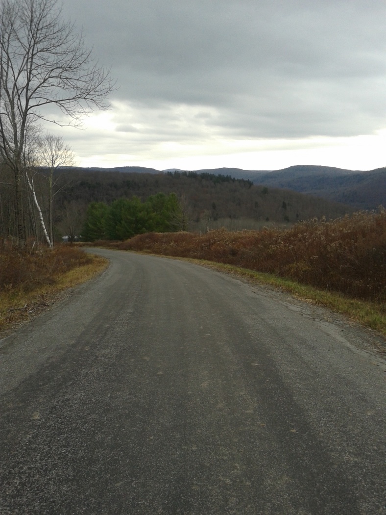
Elevation of Bethlehem Rd, Roscoe, NY, USA
Location: United States > New York > Sullivan County > Rockland > Roscoe >
Longitude: -74.948713
Latitude: 41.849117
Elevation: 492m / 1614feet
Barometric Pressure: 96KPa
Elevation Map:
Satellite Map:
Related Photos:

Corona Sanitarium
#fujifilmx100f #fujixseries #fujix100f #fujixclub #fujifilmx_us #x100f #catskills #catskillmountains

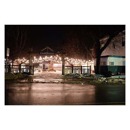
Evening At Stone Arch Bridge Park
“I put my heart and soul into my work, and have lost my mind in the process.” - Van Gogh #fujifilmx100f #fujixseries #fujix100f #fujixclub #fujifilmx_us #x100f #catskills #catskillmountains #upstate

Lake view

Reflected Merganser Brood

Fall Morning in the Countryside

Sullivan Diner Entrance

Roscoe, NY.
HV-1412.jpg

Dundas Castle

Beaver Kill Views

Babbit Memorial Medical Building

Beaver Kill Views

up the down staircase
View Off Morton Hill

Porch View

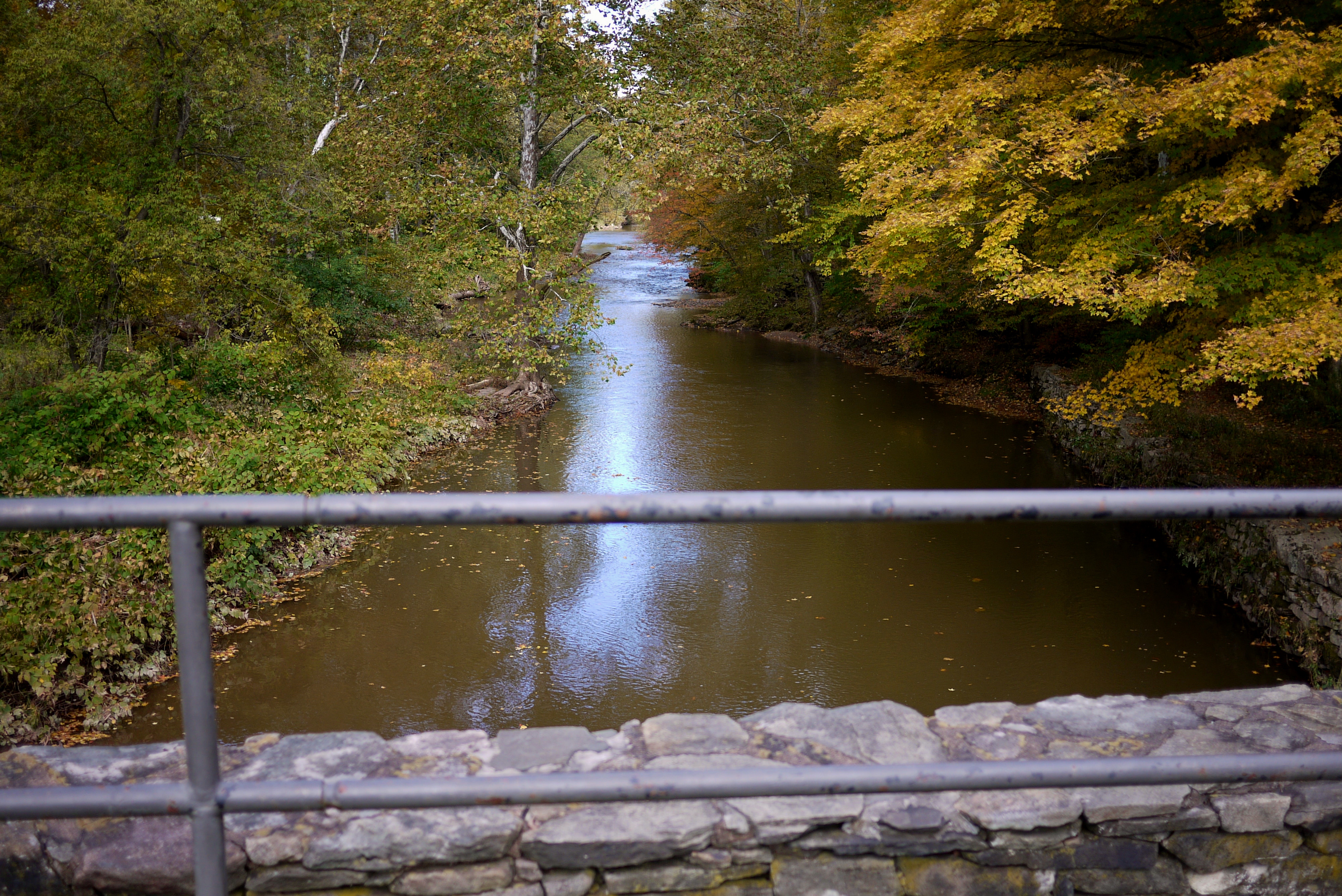
View from the Stone Arch Bridge

Lake view
View from the Stone Arch Bridge

Country View, state of NY

Evening Sky Over The Manor
After The Splash

Lake Shandelee

Laundry Brook

Railroad Bridge

Willowemoc Creek
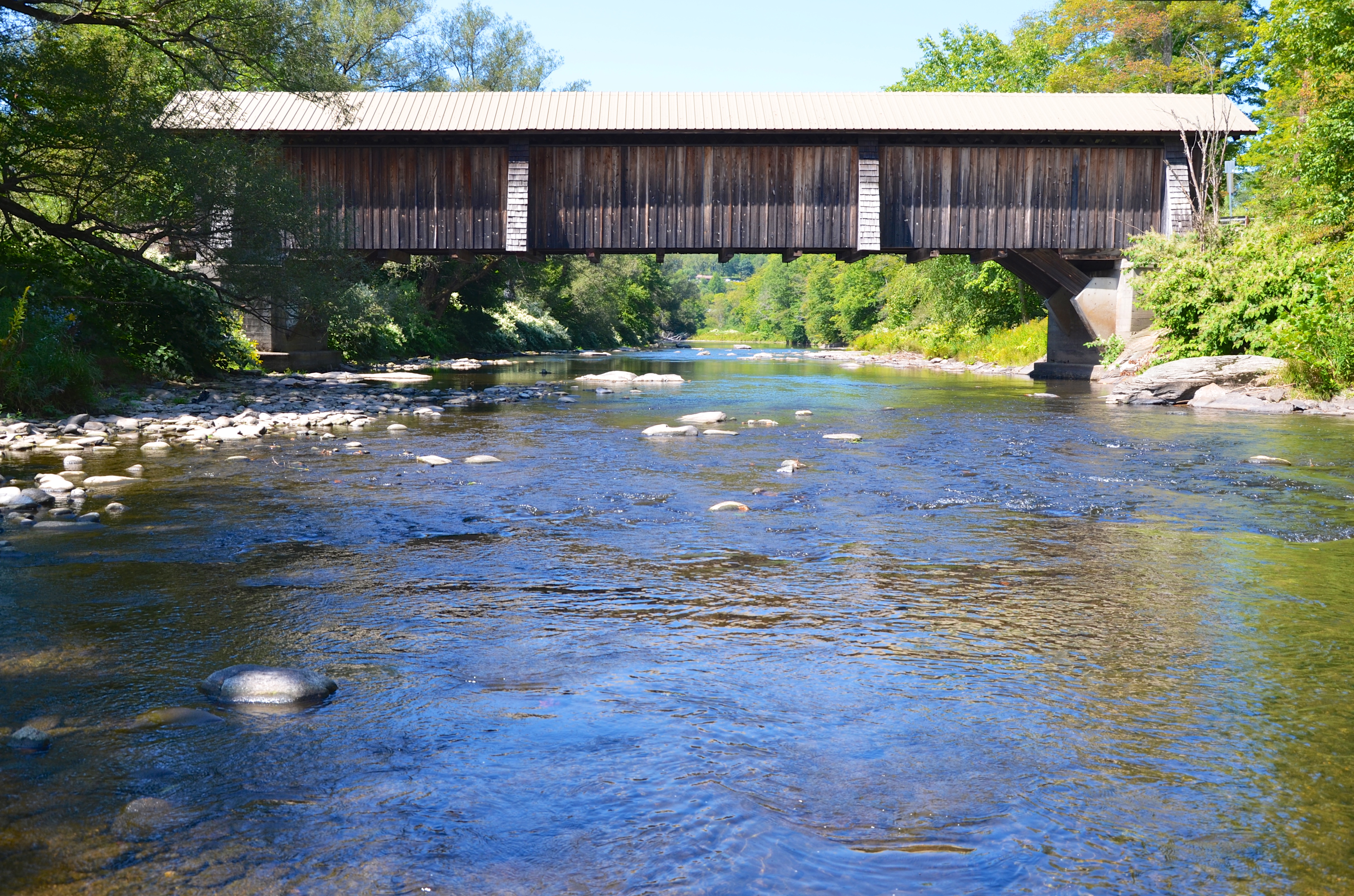
Livingston Manor Covered Bridge

Boys Fishing 2
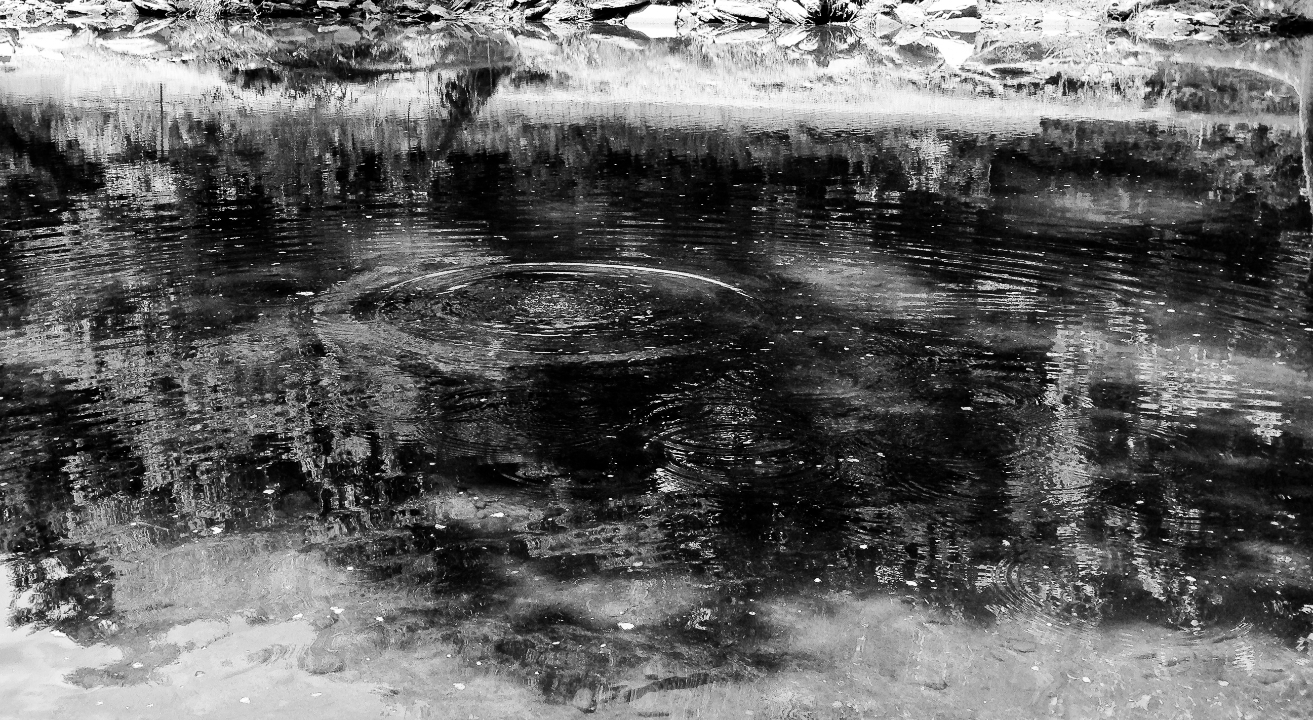
Rocks and Water

Kayaking on Amber Lake

040509 1403

040509 1402

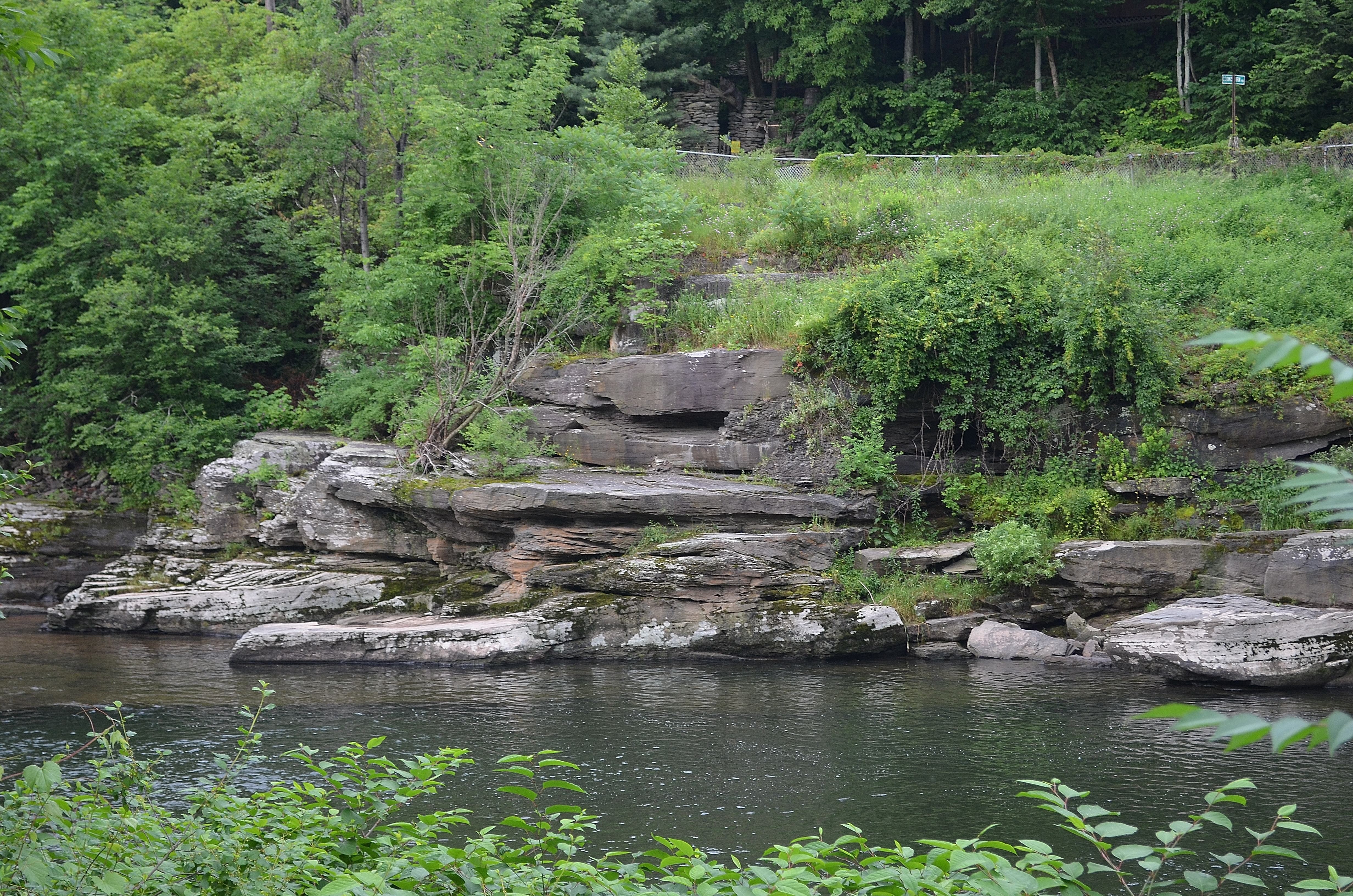
Second cascade

On the Delaware

Fall Catskills, NY

Delaware River at Callicoon

Delaware River at Callicoon

Camp Chipinaw Waterfront
Topographic Map of Bethlehem Rd, Roscoe, NY, USA
Find elevation by address:

Places near Bethlehem Rd, Roscoe, NY, USA:
98 Hornung Rd
84 Seibert Rd
99 Bestenheider Rd
132 Crowley Rd
Callicoon
County Road 93
Crowley Rd, Roscoe, NY, USA
Obernburg
1388 Shandelee Rd
731 Stump Pond Rd
Shandelee Road
36 Gilda Ln
8 Gilda Ln
Fremont Center, NY, USA
17 Dee Dr
12 Dee Dr
41 Riverside Dr
Fremont
59 Yorktown Rd
Roscoe
Recent Searches:
- Elevation of Corso Fratelli Cairoli, 35, Macerata MC, Italy
- Elevation of Tallevast Rd, Sarasota, FL, USA
- Elevation of 4th St E, Sonoma, CA, USA
- Elevation of Black Hollow Rd, Pennsdale, PA, USA
- Elevation of Oakland Ave, Williamsport, PA, USA
- Elevation of Pedrógão Grande, Portugal
- Elevation of Klee Dr, Martinsburg, WV, USA
- Elevation of Via Roma, Pieranica CR, Italy
- Elevation of Tavkvetili Mountain, Georgia
- Elevation of Hartfords Bluff Cir, Mt Pleasant, SC, USA