Elevation of Fred E. Weibel Elementary School, S Grimmer Blvd, Fremont, CA, USA
Location: United States > California > Alameda County > Fremont > Weibel >
Longitude: -121.92593
Latitude: 37.5059639
Elevation: 48m / 157feet
Barometric Pressure: 101KPa
Elevation Map:
Satellite Map:
Related Photos:
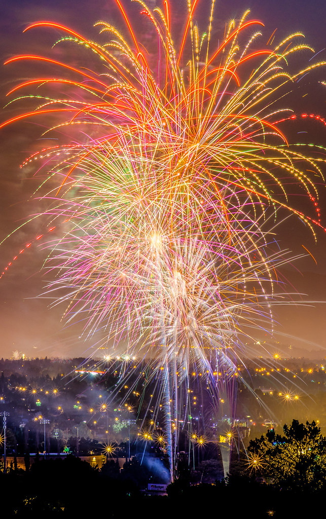
Explosions of Light

Stop. Look. Enjoy.
Is this the world we created...?

What a cute kid :)
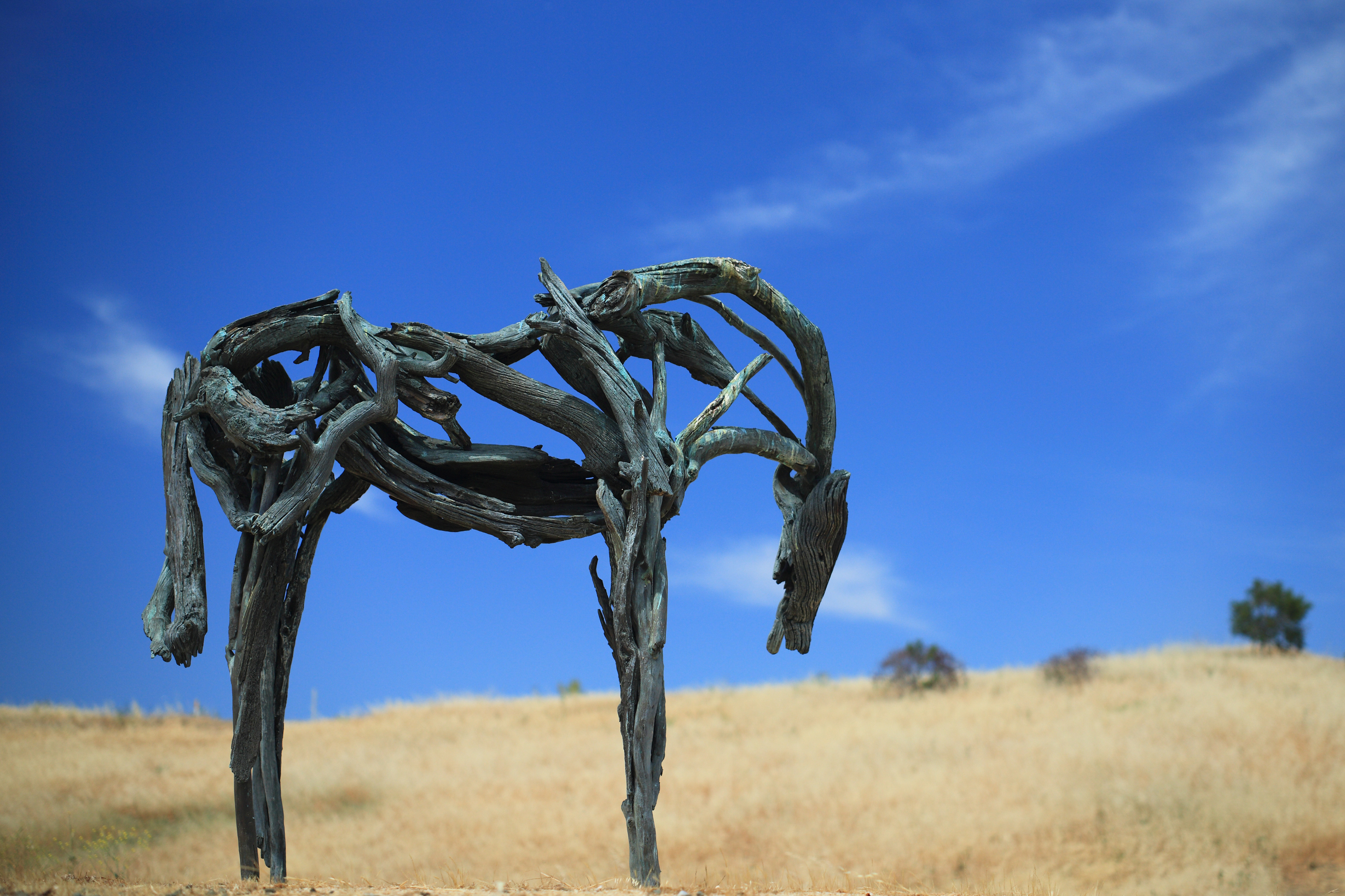
Bronze Horse by Deborah Butterfield

Shade and reflections

Magical Sparkles

mY first HDR
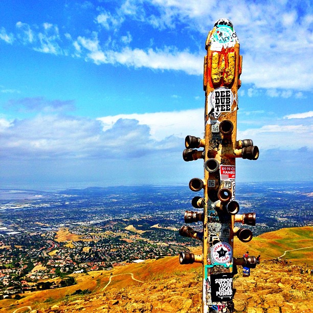
Hiked up Mission Peak! Great view of the East Bay!

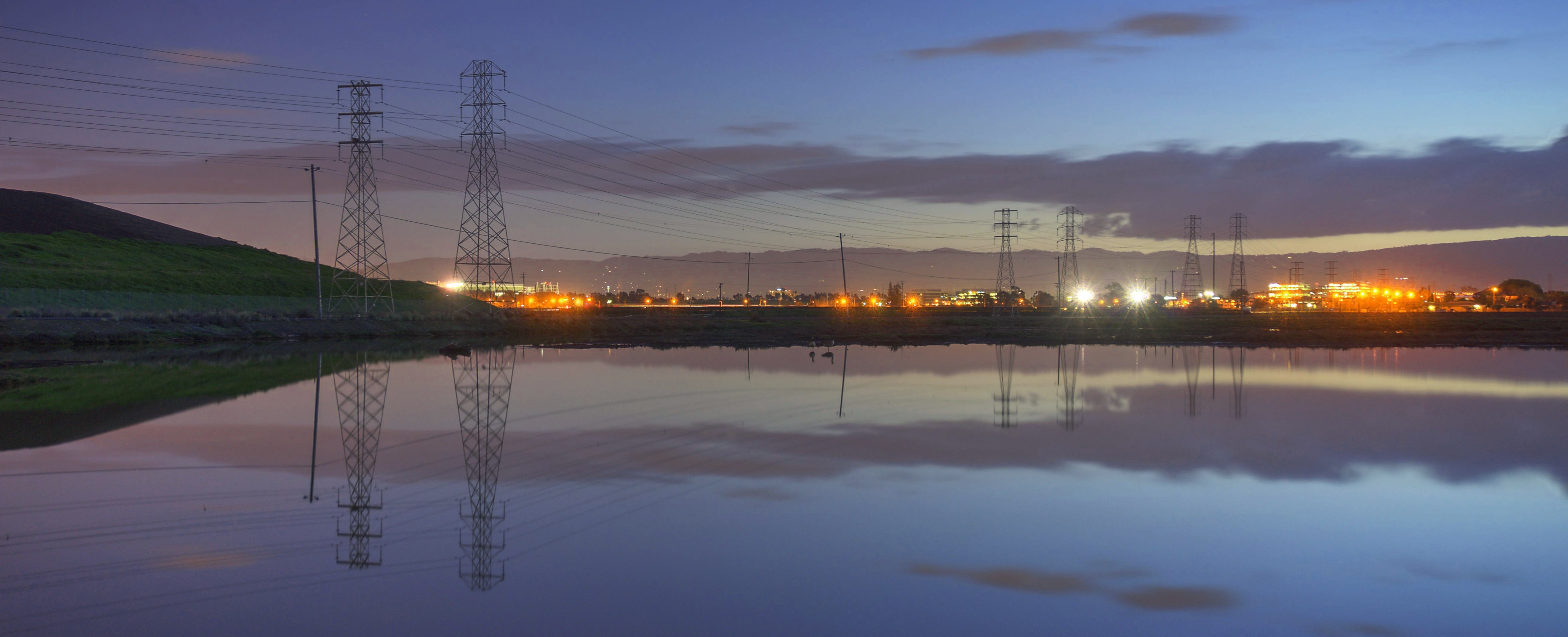
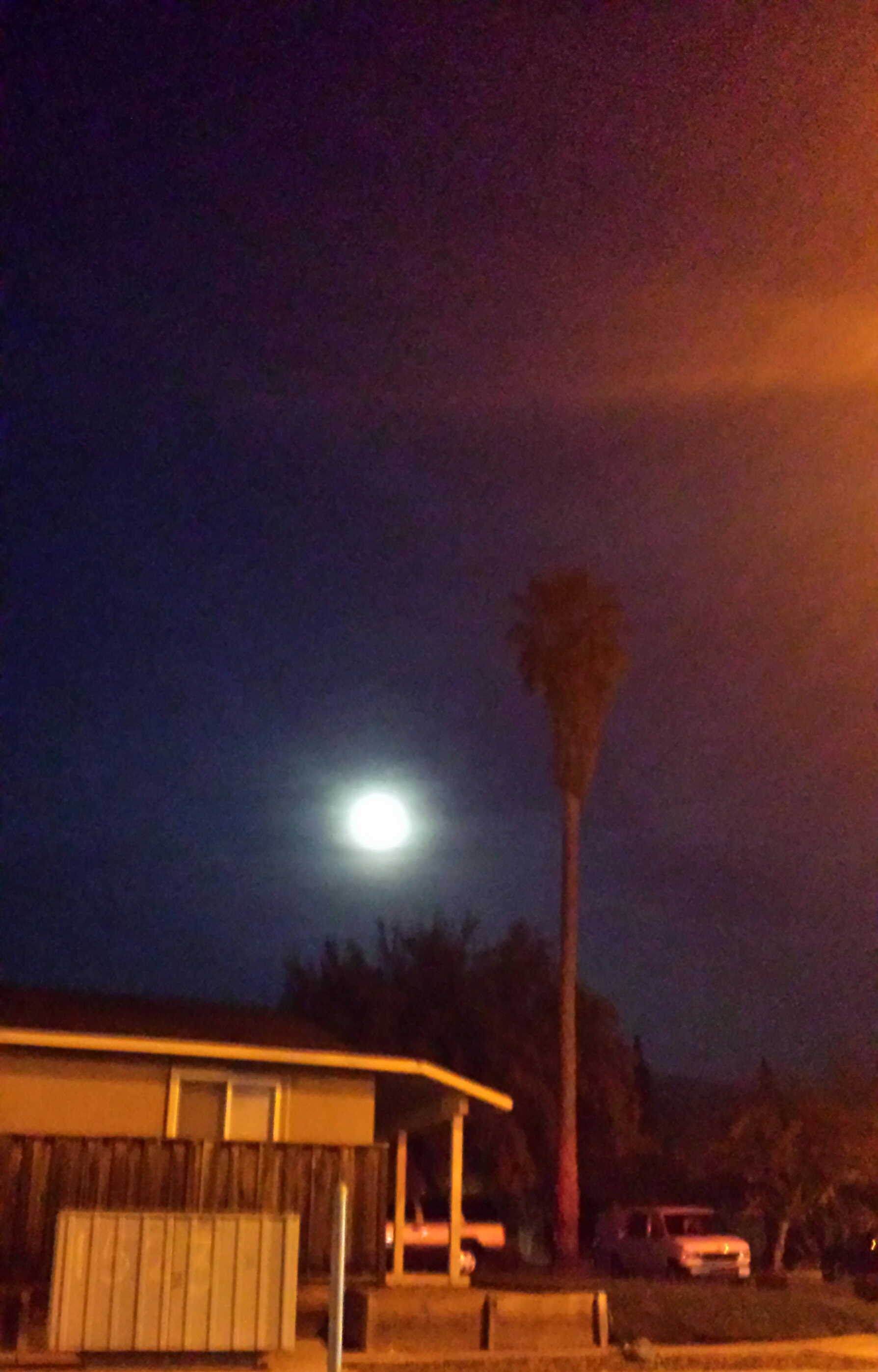
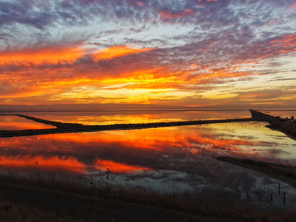
Alviso Blue Hour

Thin Film Interference - 1
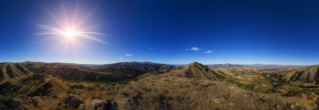
View from Maguire Peaks
picture perfect
Forget the year

DSC02820 Mushroom quilt
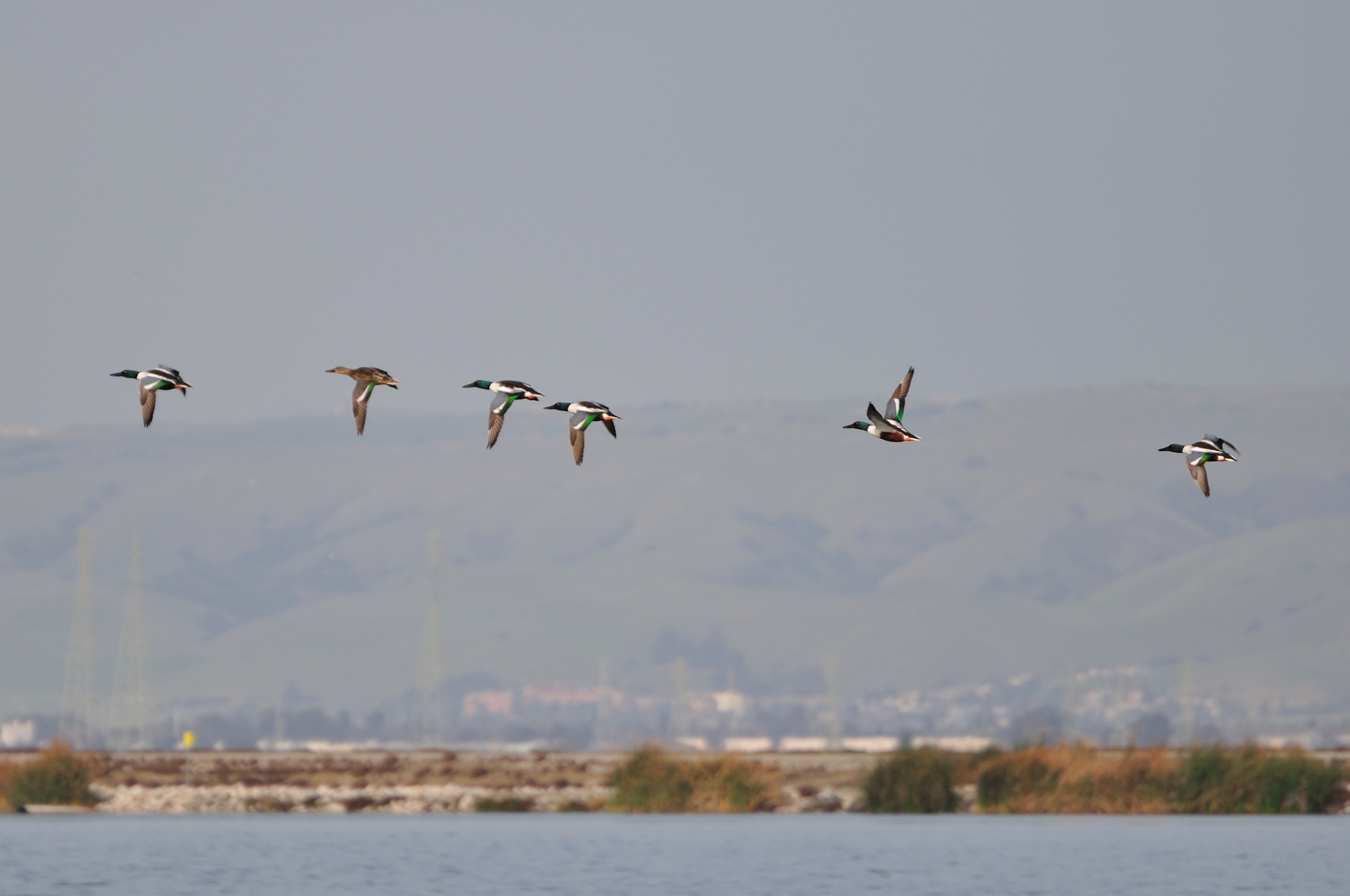
Ducks in flight

Ever Seen the Movie Duel?
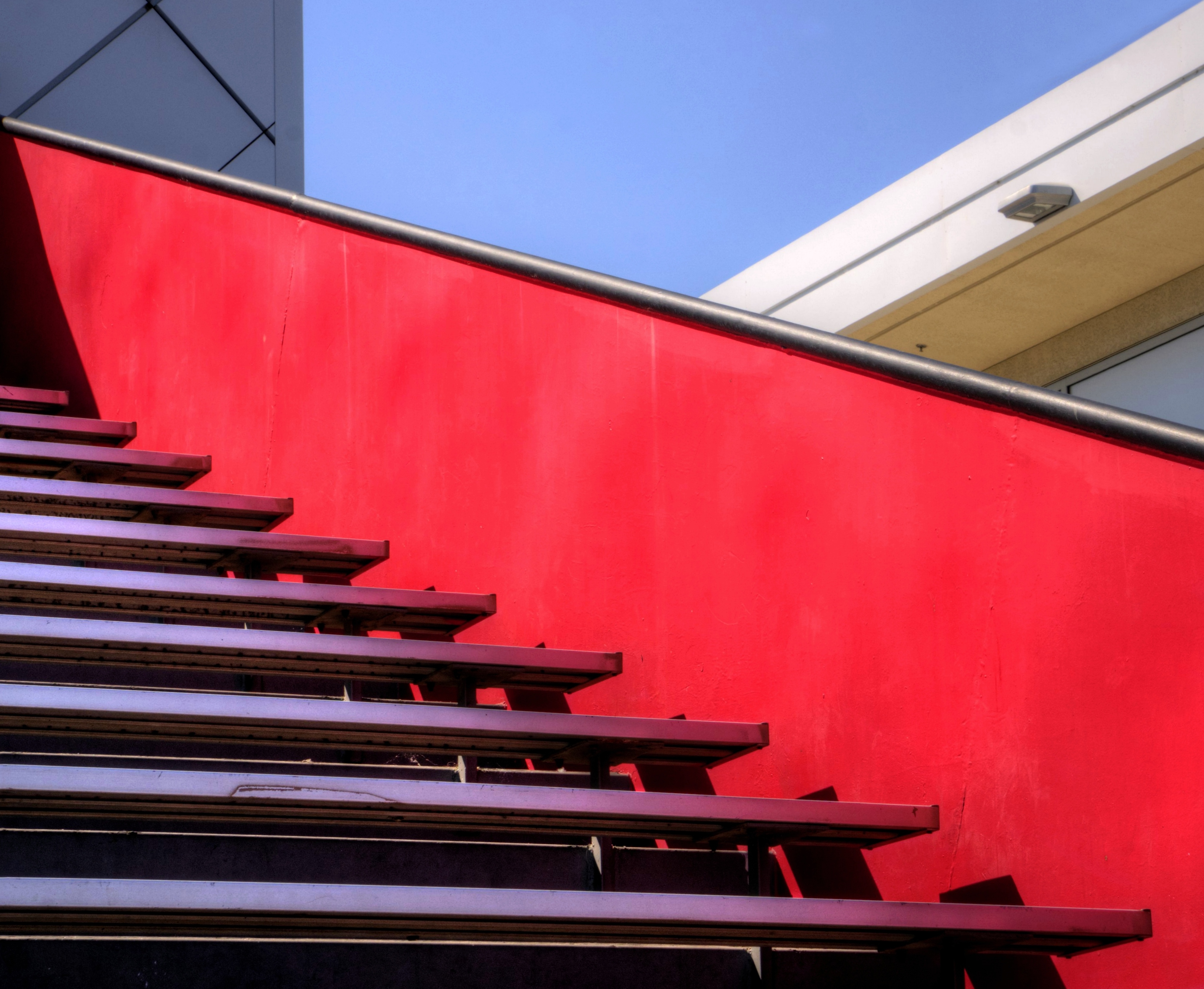
Empty seats at the stadium
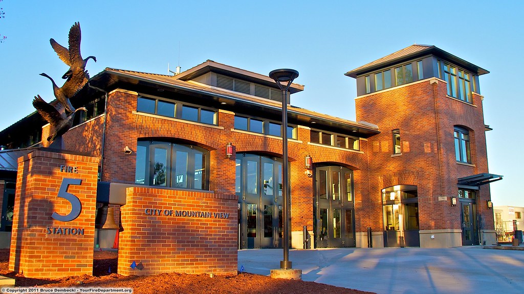
MTV Fire Station 5
picture perfect
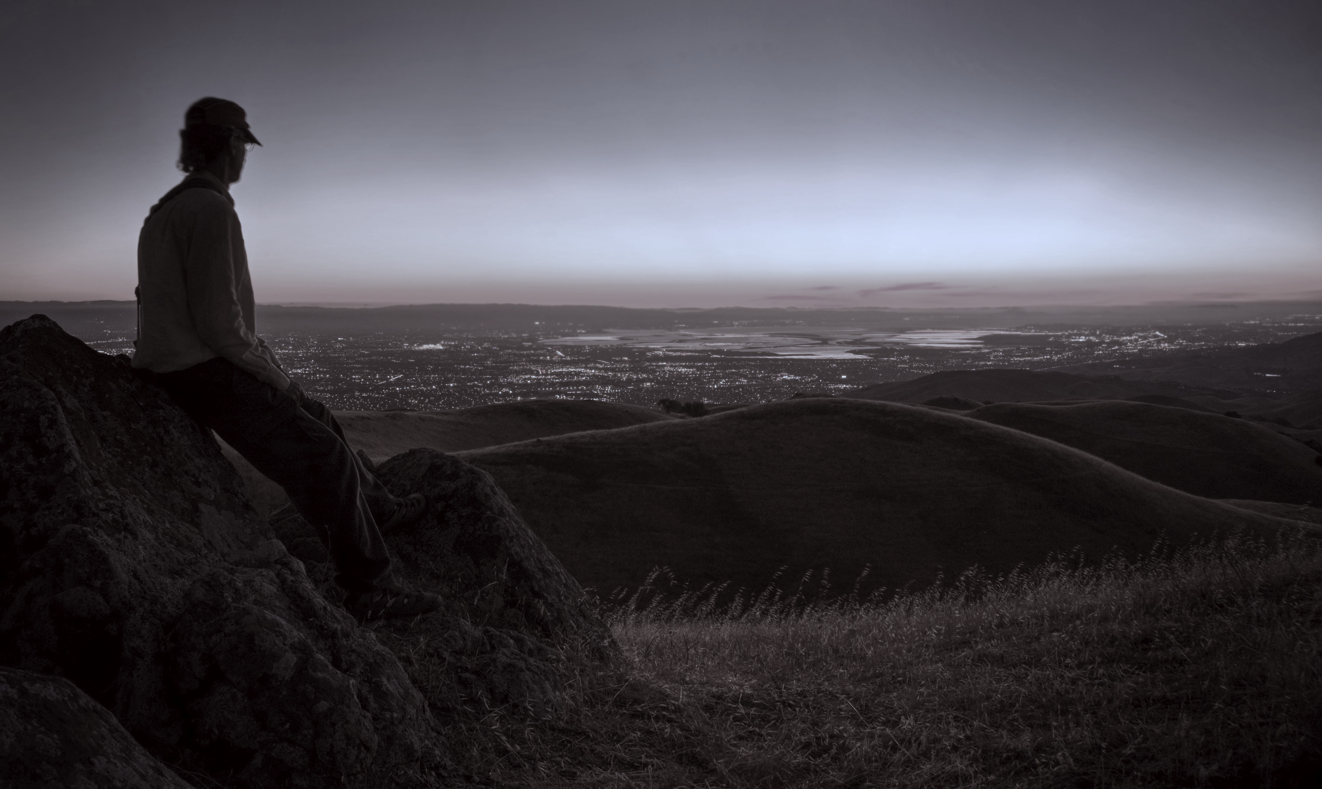
Watching the watcher

Door of opportunities :)

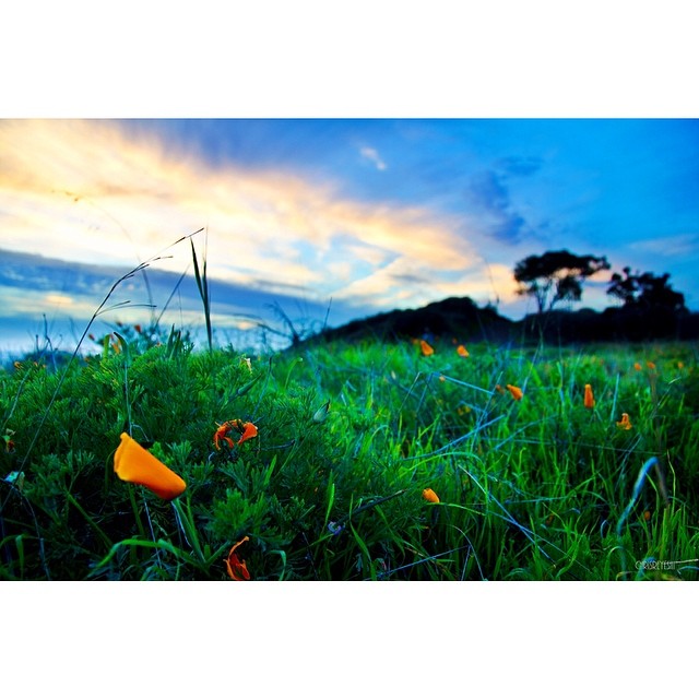
Mustard field

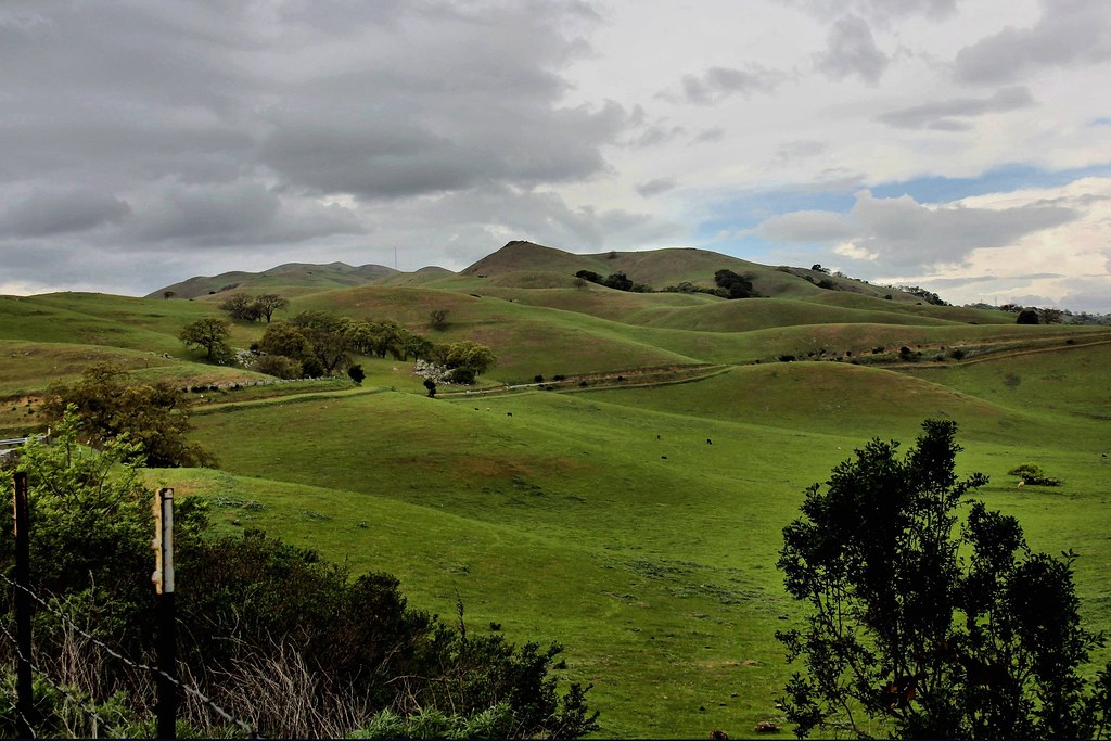
Calaveras Road

Green Pastors
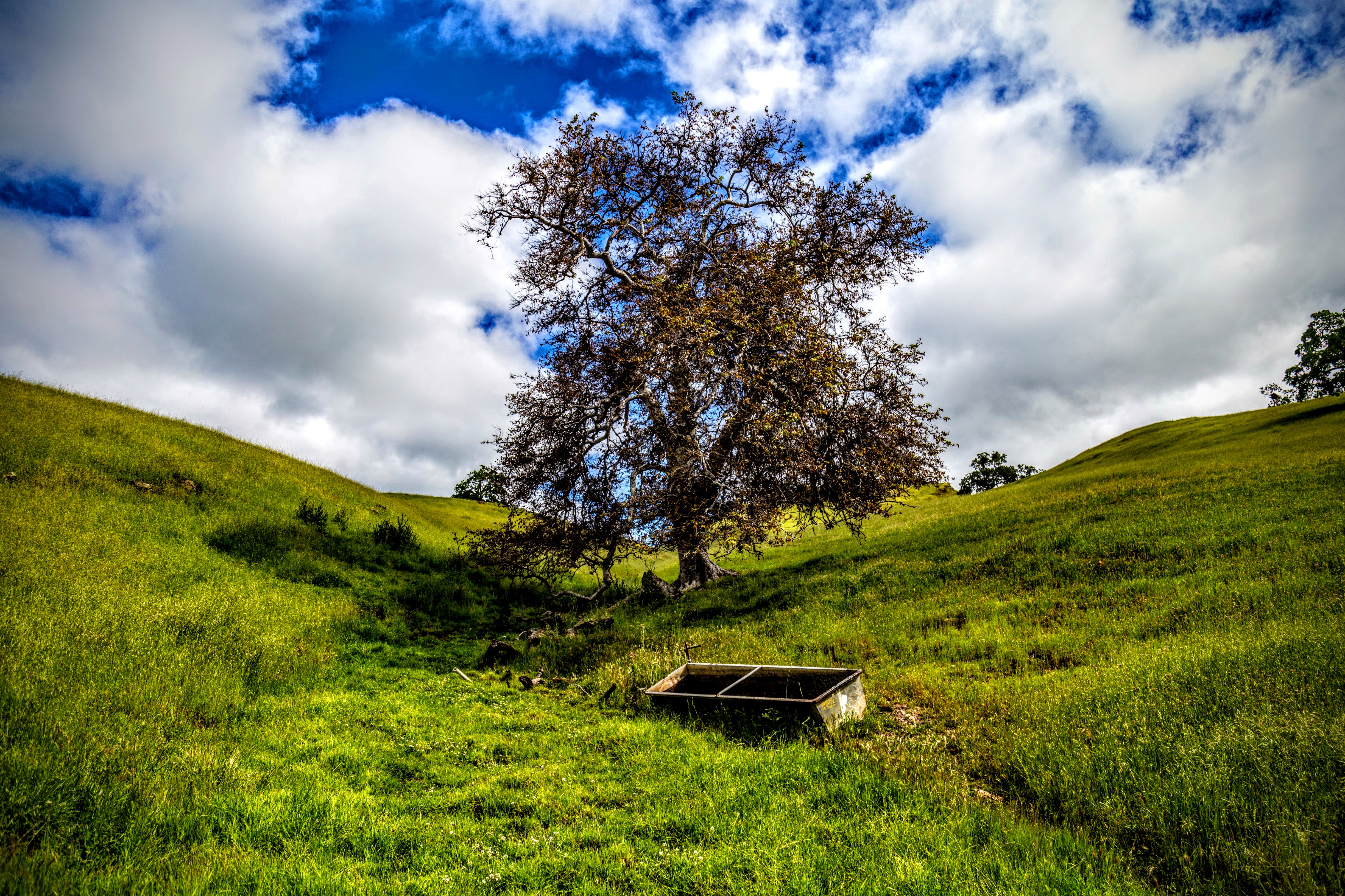
Sunol Spring Hillside No.01
Good weather! #Fremont #sanfrancisco #Cloud #California #usa #trip #travel
I'm beginning to wonder why I kept passing up this EB park. What a gem! #EBRPD #SunolRegionalWilderness #Sunol
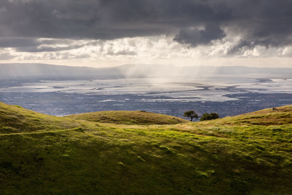
Clouds Over Mission Peak
Scattered Showers
Calaveras Hills
Spotted Hercules on my mud run at Alum Rock. #ToTheTop
Sun after rain
No Name Trail

There is something about nature that makes me feel happy.
Sunol Rest Stop

Easy way down
Spring. #california #eastbay #instanature #grass #weed #donedwards #rei1440project #neverstopexploring #hike #nofilter #goldenhour #sunset #skysnappers
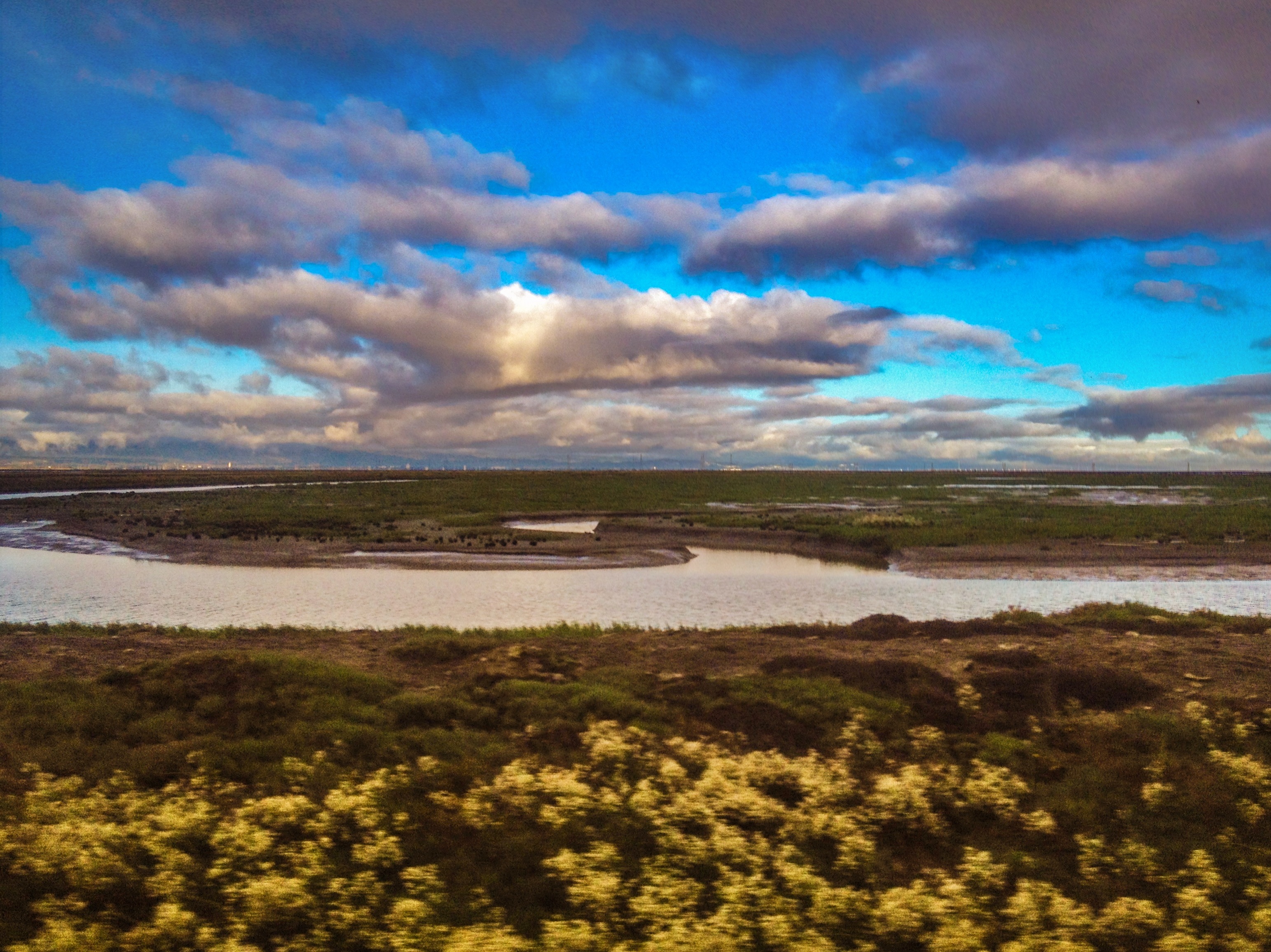
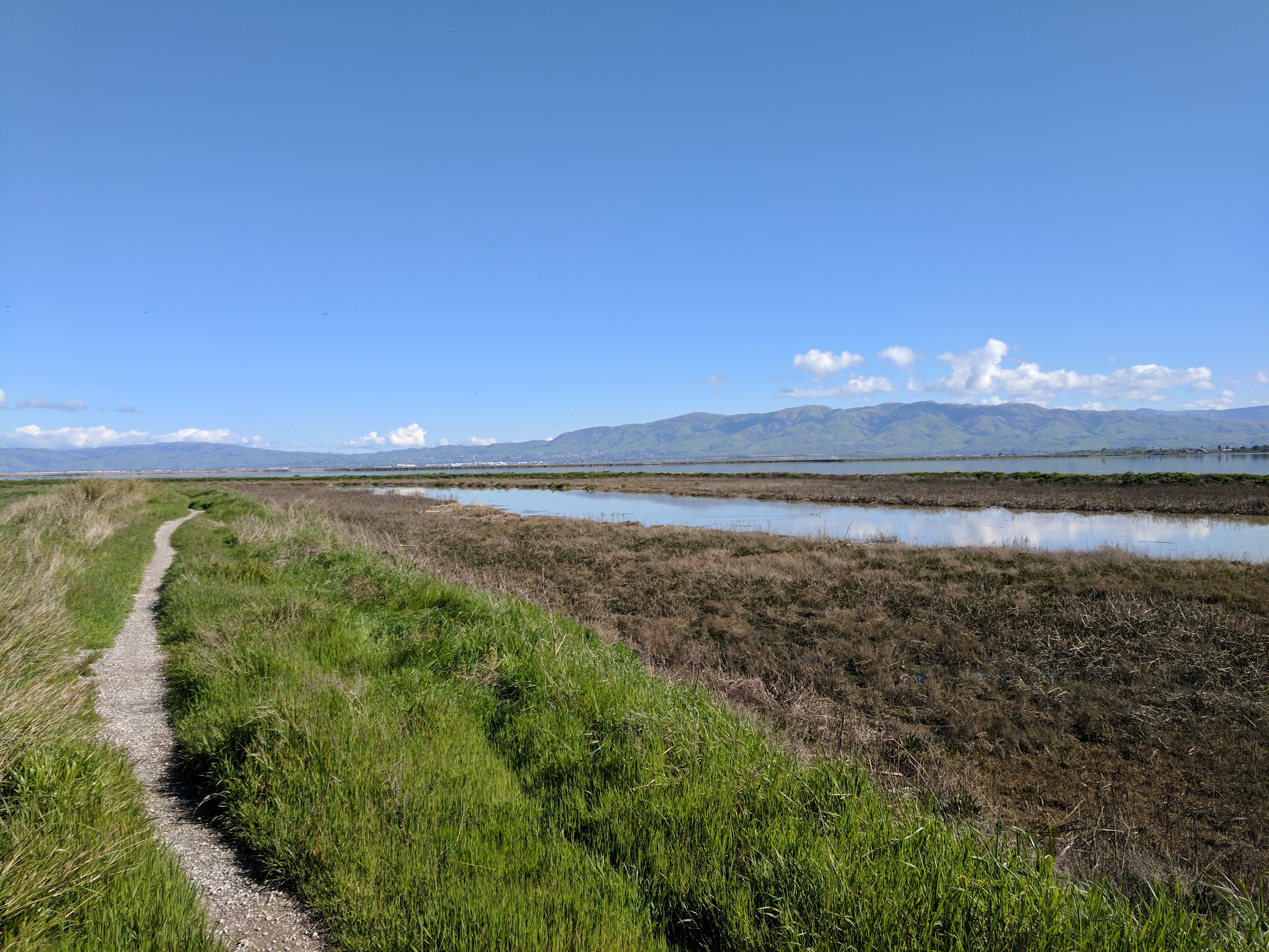
SF Bay
Topographic Map of Fred E. Weibel Elementary School, S Grimmer Blvd, Fremont, CA, USA
Find elevation by address:

Places near Fred E. Weibel Elementary School, S Grimmer Blvd, Fremont, CA, USA:
Weibel
160 Martingale Dr
Lynx Court
44273 Lupine Pl
44233 Lupine Pl
Warm Springs/south Fremont
Factory Tea Bar
753 Praderia Cir
44631 Partlet Ct
46794 Winema Common
East Industrial
43585 Vista Del Mar
43520 Homestead Ct
43760 Abeloe Terrace
7th Avenue
Cameron Hills
44292 Fremont Blvd
43553 Ellsworth St
1425 Salamanca Ct
47530 Fortner St
Recent Searches:
- Elevation of Corso Fratelli Cairoli, 35, Macerata MC, Italy
- Elevation of Tallevast Rd, Sarasota, FL, USA
- Elevation of 4th St E, Sonoma, CA, USA
- Elevation of Black Hollow Rd, Pennsdale, PA, USA
- Elevation of Oakland Ave, Williamsport, PA, USA
- Elevation of Pedrógão Grande, Portugal
- Elevation of Klee Dr, Martinsburg, WV, USA
- Elevation of Via Roma, Pieranica CR, Italy
- Elevation of Tavkvetili Mountain, Georgia
- Elevation of Hartfords Bluff Cir, Mt Pleasant, SC, USA