Elevation of Franks Township, AR, USA
Location: United States > Arkansas > Woodruff County >
Longitude: -91.077772
Latitude: 35.1441072
Elevation: 67m / 220feet
Barometric Pressure: 101KPa
Elevation Map:
Satellite Map:
Related Photos:
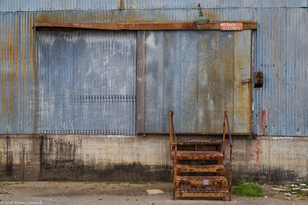
No Smoking
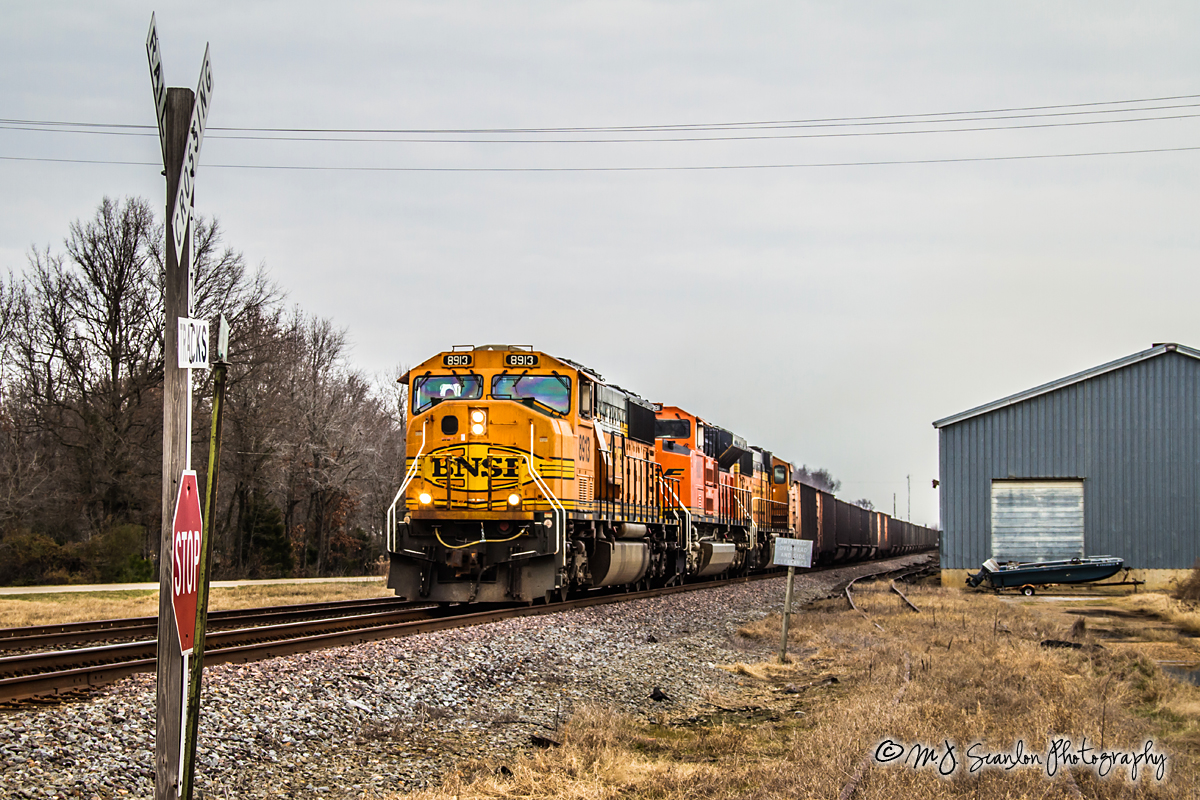
BNSF 8913 - EMD SD70MAC - UP Jonesboro Subdivision
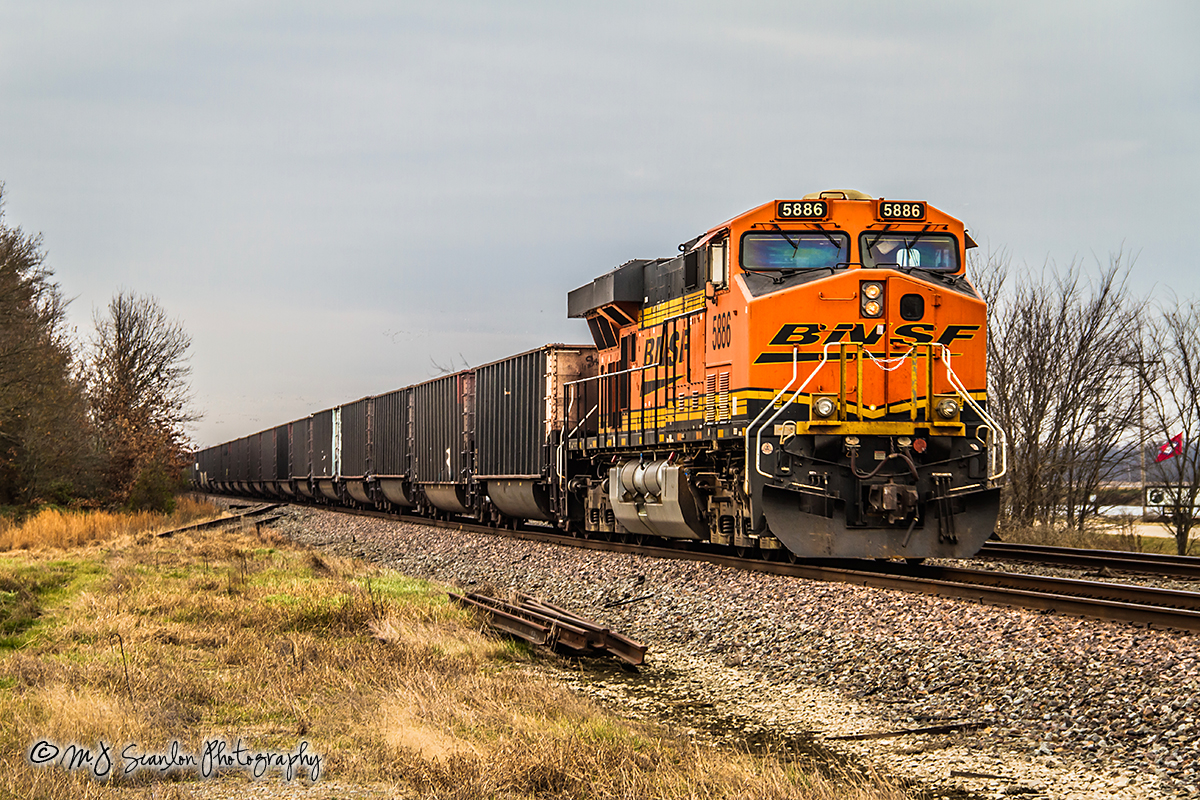
BNSF 5886 - GE ES44AC - UP Jonesboro Subdivision
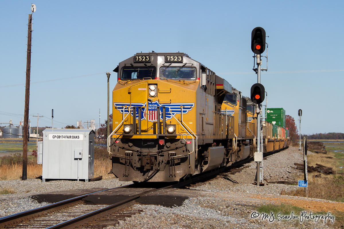
UP 7523 - ES44AC - UP Jonesboro Subdivision

UP SD70AH 8987

UP Train ZDUMQ-26
2014-01-26_08-2
Shortest Duplex

red<3
Topographic Map of Franks Township, AR, USA
Find elevation by address:

Places in Franks Township, AR, USA:
Places near Franks Township, AR, USA:
32 US 49, McCrory, AR, USA
15216 Ar-269
Woodruff County
Cache Township
AR-17, McCrory, AR, USA
US 49, Brinkley, AR, USA
Wheatley Township
Goodwin Township
Greenfield Township
US 49, Brinkley, AR, USA
Fargo
Old Military Rd W, Colt, AR, USA
Memphis Ave, Widener, AR, USA
Wheatley
2527 Sfc 130
1665 Jake Taylor Hill Rd
Fleener Township
Colt
US-70, Forrest City, AR, USA
7375 Ar-1
Recent Searches:
- Elevation of Corso Fratelli Cairoli, 35, Macerata MC, Italy
- Elevation of Tallevast Rd, Sarasota, FL, USA
- Elevation of 4th St E, Sonoma, CA, USA
- Elevation of Black Hollow Rd, Pennsdale, PA, USA
- Elevation of Oakland Ave, Williamsport, PA, USA
- Elevation of Pedrógão Grande, Portugal
- Elevation of Klee Dr, Martinsburg, WV, USA
- Elevation of Via Roma, Pieranica CR, Italy
- Elevation of Tavkvetili Mountain, Georgia
- Elevation of Hartfords Bluff Cir, Mt Pleasant, SC, USA