Elevation of AR-17, McCrory, AR, USA
Location: United States > Arkansas > Woodruff County > Cache Township >
Longitude: -91.240955
Latitude: 35.1513252
Elevation: 69m / 226feet
Barometric Pressure: 100KPa
Elevation Map:
Satellite Map:
Related Photos:
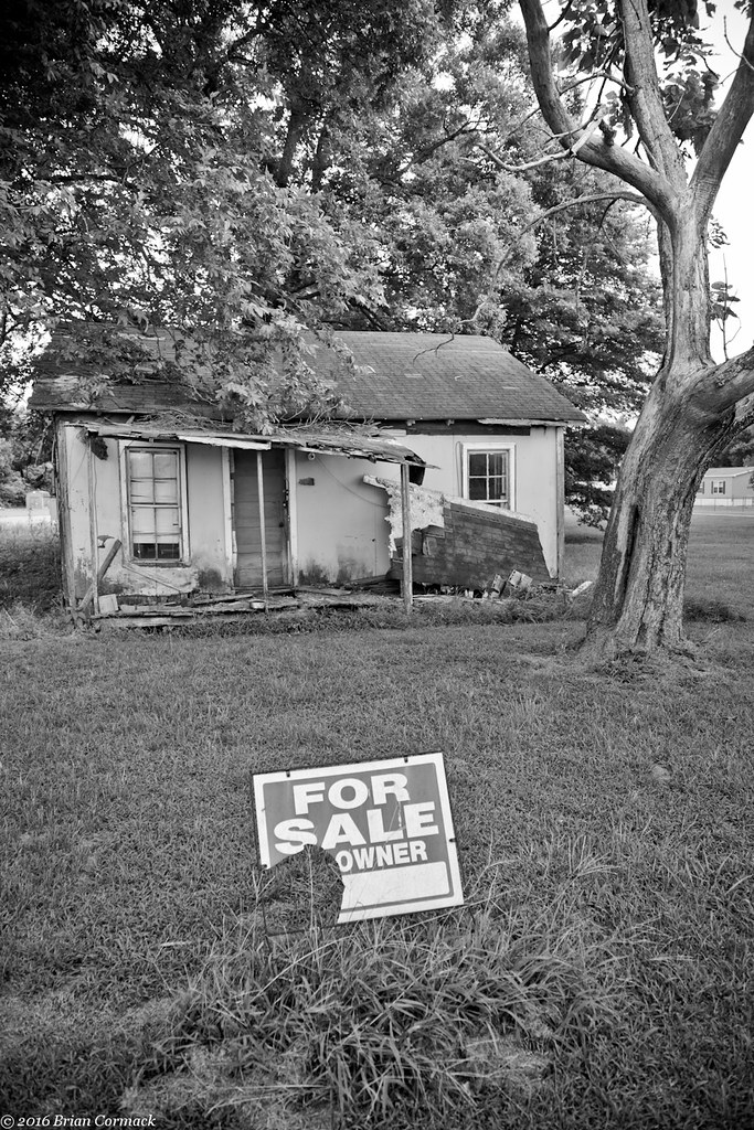
For Sale

UP SD70AH 8987

Our garden bed

New shop

New Ridgid miter saw stand

New Ridgid miter saw stand

Old kitchen new kitchen
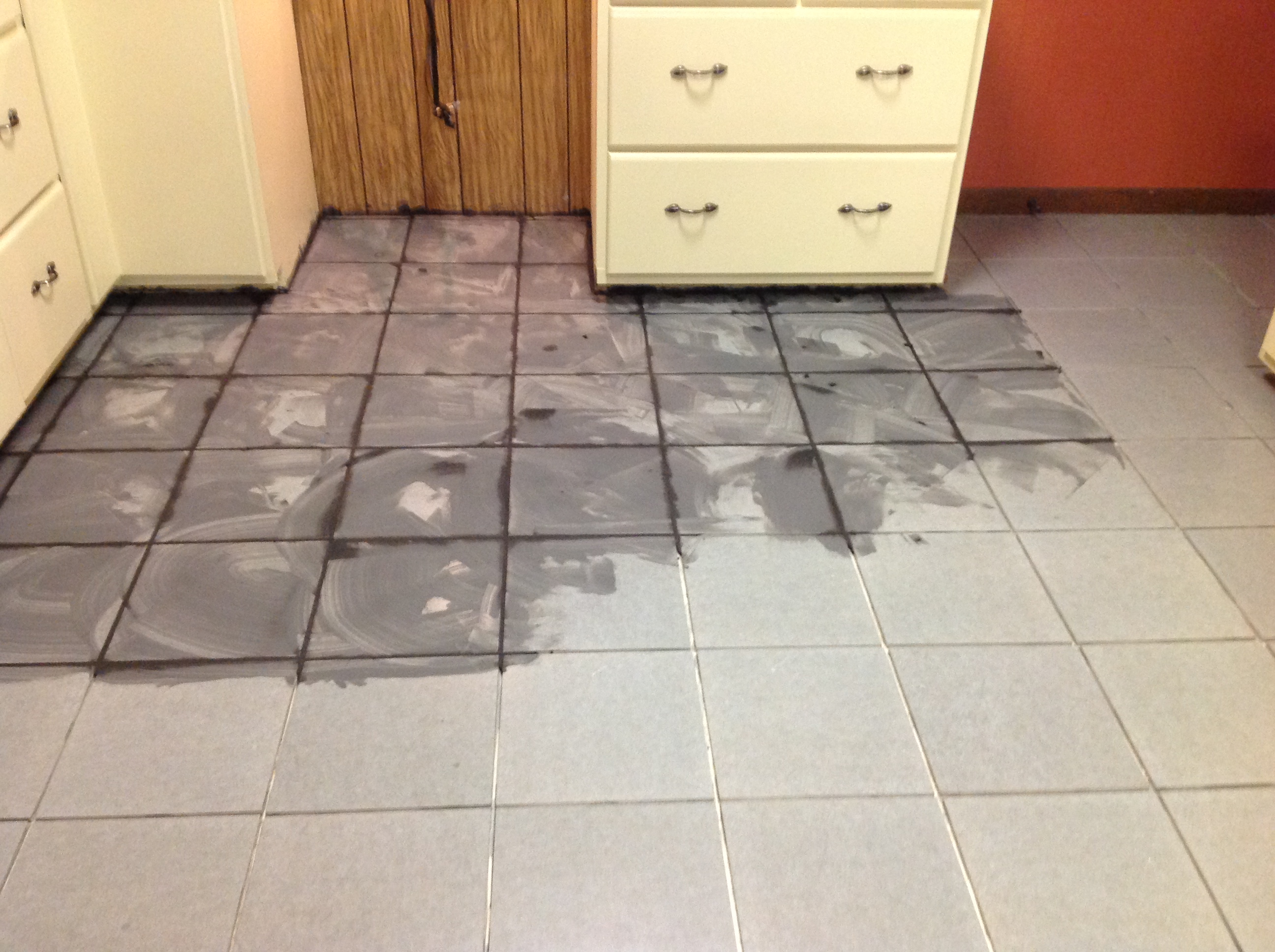
Laying tile fun fun

Laying tile fun fun
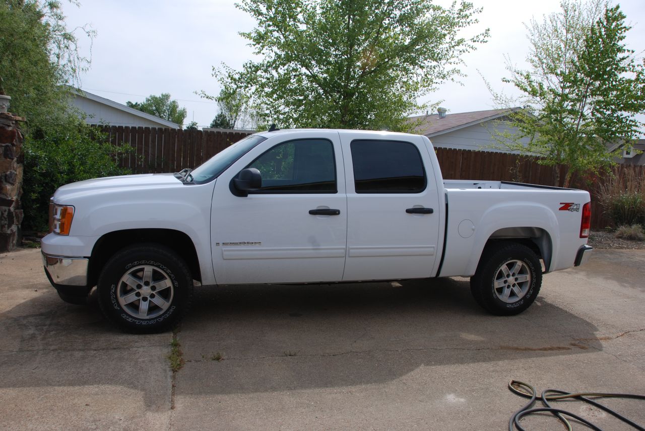
My New Truck
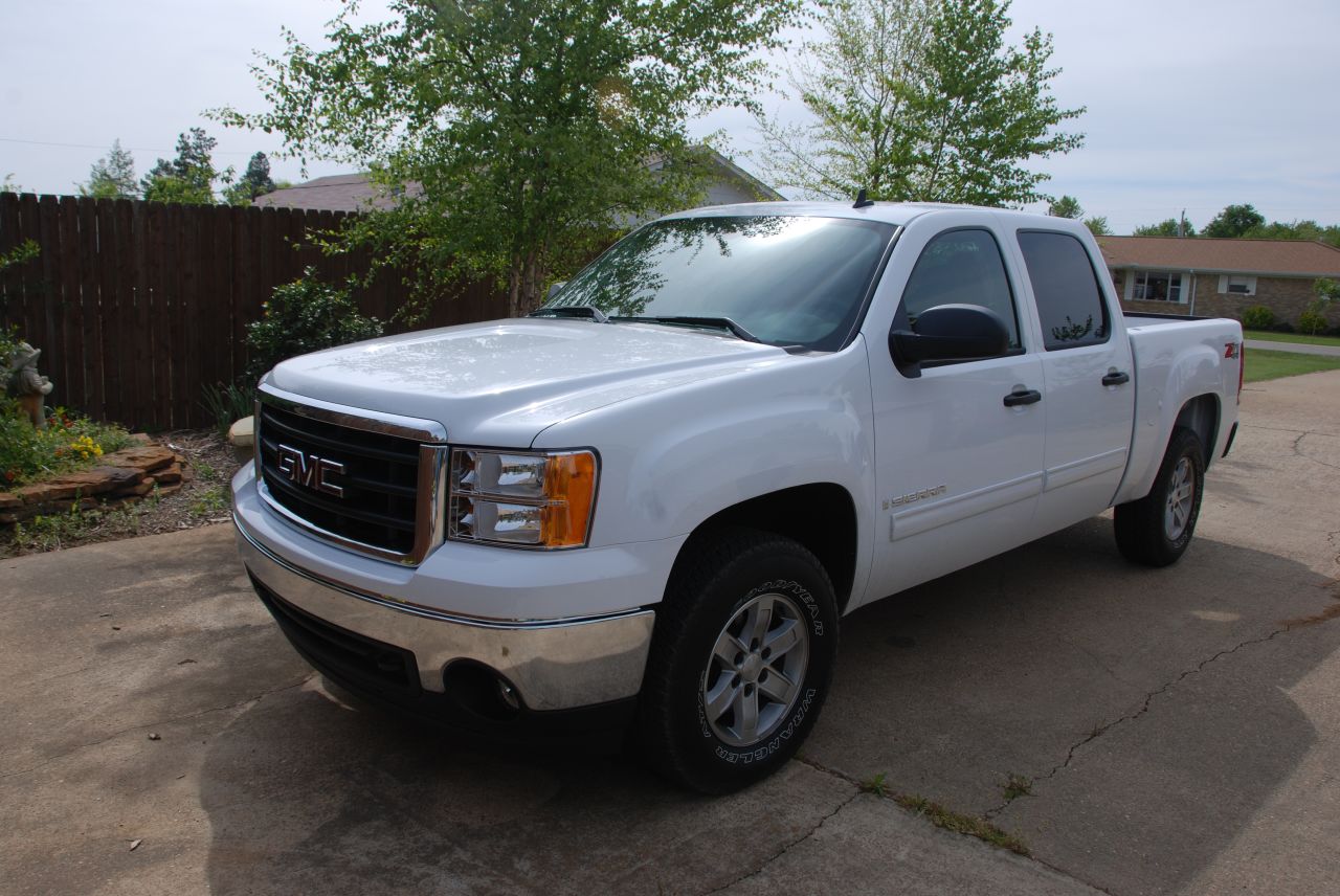
My New Truck

Wedding Shower

Wedding Shower
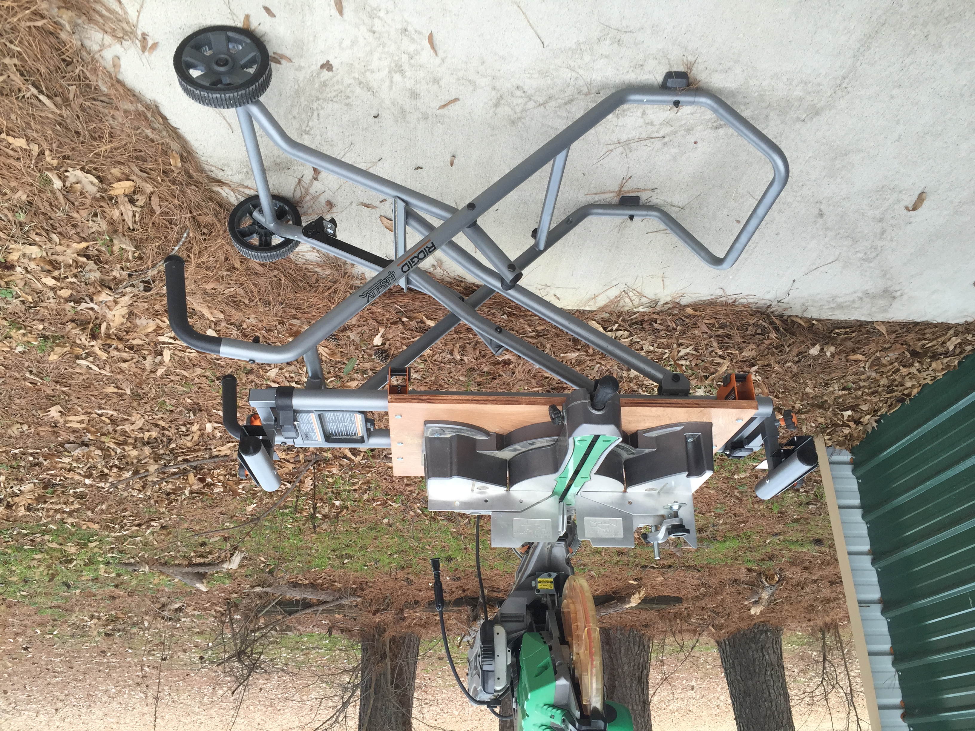
New Ridgid miter saw stand
Topographic Map of AR-17, McCrory, AR, USA
Find elevation by address:

Places near AR-17, McCrory, AR, USA:
Cache Township
Woodruff County
15216 Ar-269
Franks Township
32 US 49, McCrory, AR, USA
US 49, Brinkley, AR, USA
US 49, Brinkley, AR, USA
Fargo
Greenfield Township
Wheatley Township
Brinkley
N Main St, Brinkley, AR, USA
Memphis Ave, Widener, AR, USA
Wheatley
Brinkley Township
Goodwin Township
Chesser Road
Fleener Township
2527 Sfc 130
AR-, Palestine, AR, USA
Recent Searches:
- Elevation of Corso Fratelli Cairoli, 35, Macerata MC, Italy
- Elevation of Tallevast Rd, Sarasota, FL, USA
- Elevation of 4th St E, Sonoma, CA, USA
- Elevation of Black Hollow Rd, Pennsdale, PA, USA
- Elevation of Oakland Ave, Williamsport, PA, USA
- Elevation of Pedrógão Grande, Portugal
- Elevation of Klee Dr, Martinsburg, WV, USA
- Elevation of Via Roma, Pieranica CR, Italy
- Elevation of Tavkvetili Mountain, Georgia
- Elevation of Hartfords Bluff Cir, Mt Pleasant, SC, USA