Elevation of Old Military Rd W, Colt, AR, USA
Longitude: -90.853011
Latitude: 35.1362363
Elevation: 69m / 226feet
Barometric Pressure: 100KPa
Elevation Map:
Satellite Map:
Related Photos:
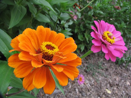
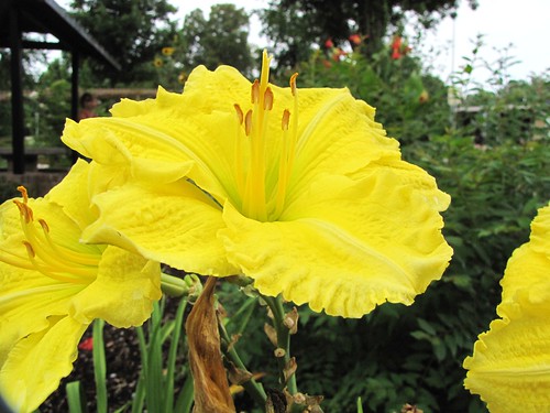
![park travel orange usa flower macro green nature yellow closeup canon scenery view state south peaceful reststop powershot daytime arkansas tranquil i40 forrestcity sx10is waltphotos](https://farm3.staticflickr.com/2487/3716071527_c3619d43ec.jpg)
IMG_2042
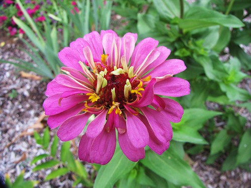
![park travel usa flower macro green nature yellow closeup canon view state south peaceful reststop powershot daytime arkansas tranquil i40 forrestcity sx10is waltphotos](https://farm3.staticflickr.com/2484/3716071537_c70b0b8594.jpg)
IMG_2044
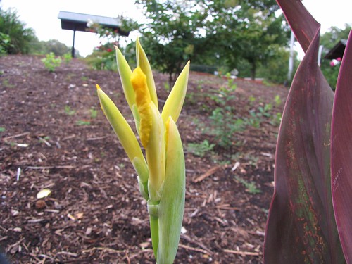
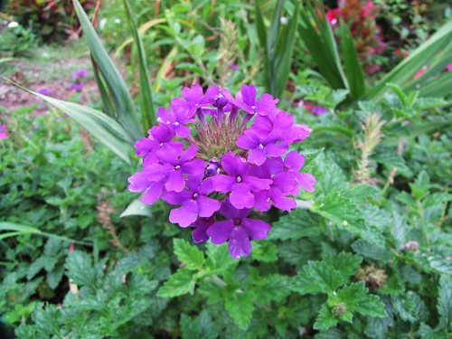
![park travel usa flower macro green nature closeup canon scenery view state south peaceful reststop powershot daytime arkansas tranquil i40 forrestcity sx10is waltphotos](https://farm3.staticflickr.com/2487/3716084169_3789c16148.jpg)
IMG_2046
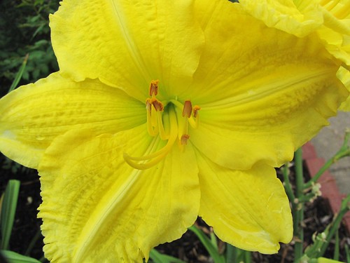
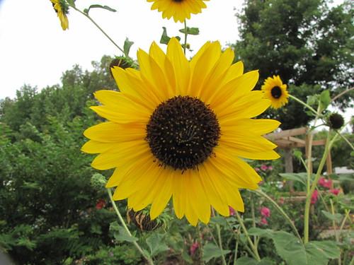
![park travel usa flower macro green nature yellow closeup canon scenery view state south peaceful reststop powershot daytime arkansas tranquil i40 forrestcity sx10is waltphotos](https://farm4.staticflickr.com/3479/3716071533_c58735c8c9.jpg)
IMG_2043
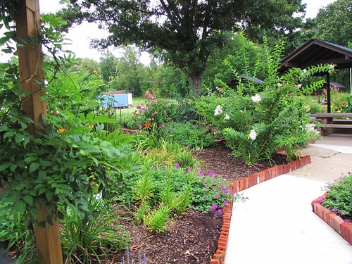
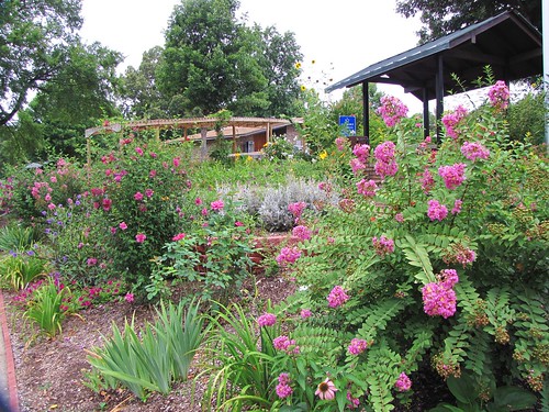
![sky wood waltphotos view usa trees travel tranquil powershot scenery south state sx10is peaceful park nature canon landscapes green daytime arkansas walkway flowers i40 reststop forrestcity](https://farm4.staticflickr.com/3495/3716084223_74eeae11af.jpg)
IMG_2056
![park travel usa flower macro green nature yellow closeup canon landscapes scenery view state south peaceful reststop powershot daytime arkansas tranquil i40 forrestcity sx10is waltphotos](https://farm3.staticflickr.com/2622/3716084157_51b0060183.jpg)
IMG_2045
![park travel usa flower green nature canon scenery view state south peaceful reststop powershot daytime arkansas tranquil i40 forrestcity sx10is waltphotos](https://farm3.staticflickr.com/2645/3716903558_be55127679.jpg)
IMG_2057
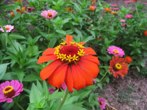
![park travel usa flower macro green nature closeup canon scenery view state south peaceful reststop powershot daytime arkansas tranquil i40 forrestcity sx10is waltphotos](https://farm3.staticflickr.com/2638/3716071517_a28533cb5c.jpg)
IMG_2040
![park travel usa flower macro green nature closeup canon scenery view state south peaceful reststop powershot daytime arkansas tranquil i40 forrestcity sx10is waltphotos](https://farm3.staticflickr.com/2528/3716071523_8553b3e30a.jpg)
IMG_2041
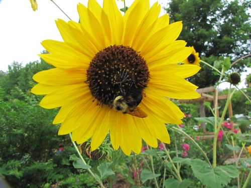
![park travel sky usa brown flower macro green nature yellow closeup canon wings scenery view state south peaceful reststop powershot bee daytime arkansas tranquil i40 forrestcity sx10is waltphotos](https://farm3.staticflickr.com/2458/3716084199_3acc7a3338.jpg)
IMG_2051
![park travel sky usa flower macro green nature yellow closeup canon landscapes scenery view state south peaceful reststop powershot daytime arkansas tranquil i40 forrestcity sx10is waltphotos](https://farm3.staticflickr.com/2522/3716084217_f0575796b0.jpg)
IMG_2052
![park wood travel flowers sky usa green nature canon landscapes scenery view state south peaceful reststop powershot daytime arkansas tranquil i40 forrestcity sx10is waltphotos](https://farm4.staticflickr.com/3489/3716903548_ebca9a83d2.jpg)
IMG_2059
![winter sunset lake reflection landscape unitedstates arkansas 169 hdr forrestcity lightroom 2014 3xp photomatix tonemapped 2ev tthdr realistichdr detailsenhancer geo:country=unitedstates camera:make=canon exif:make=canon geo:state=arkansas canoneos7d exif:lens=ef24105mmf4lisusm camera:model=canoneos7d exif:model=canoneos7d exif:aperture=ƒ40 wigginslake exif:isospeed=200 exif:focallength=67mm copyright©2014ianaberle geo:lon=90789678333333 geo:city=forrestcity geo:location=19482024northwashingtonstreet geo:lat=3503086](https://farm8.staticflickr.com/7334/16489616435_f48f8d42bc.jpg)
Wiggins Lake Sunset
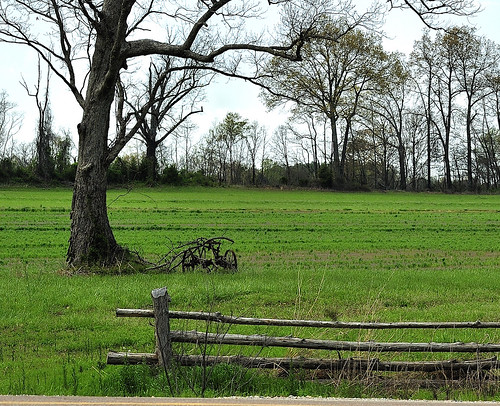
![field sulky openfield](https://farm3.staticflickr.com/2754/4158896660_798a01c7ae.jpg)
Deserted Sulky
Topographic Map of Old Military Rd W, Colt, AR, USA
Find elevation by address:
Places near Old Military Rd W, Colt, AR, USA:
1665 Jake Taylor Hill Rd
Colt
7485 Ar-1
7375 Ar-1
Telico Township
1179 Ar-306
Ridgecrest Dr, Forrest City, AR, USA
Sfc, Forrest City, AR, USA
Johnson Township
Madison Township
617 N Forrest St
Forrest City
B Ave, Forrest City, AR, USA
US-70, Forrest City, AR, USA
4551 Us-70
4551 Us-70
Madison
2nd St, Madison, AR, USA
St. Francis County
Widener
Recent Searches:
- Elevation of Corso Fratelli Cairoli, 35, Macerata MC, Italy
- Elevation of Tallevast Rd, Sarasota, FL, USA
- Elevation of 4th St E, Sonoma, CA, USA
- Elevation of Black Hollow Rd, Pennsdale, PA, USA
- Elevation of Oakland Ave, Williamsport, PA, USA
- Elevation of Pedrógão Grande, Portugal
- Elevation of Klee Dr, Martinsburg, WV, USA
- Elevation of Via Roma, Pieranica CR, Italy
- Elevation of Tavkvetili Mountain, Georgia
- Elevation of Hartfords Bluff Cir, Mt Pleasant, SC, USA