Elevation of Sfc, Forrest City, AR, USA
Location: United States > Arkansas > St. Francis County >
Longitude: -90.807117
Latitude: 35.0376401
Elevation: 71m / 233feet
Barometric Pressure: 100KPa
Elevation Map:
Satellite Map:
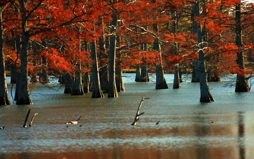
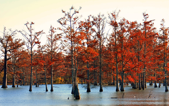
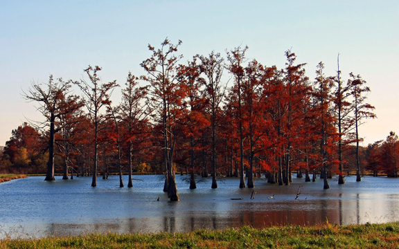
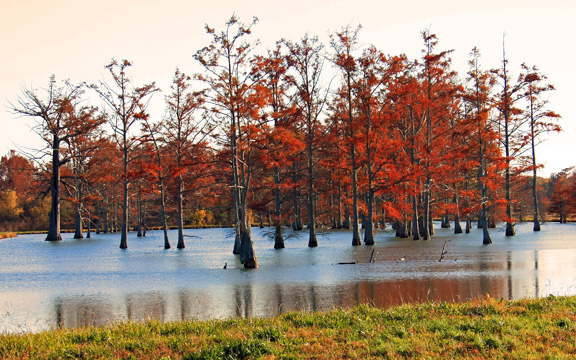
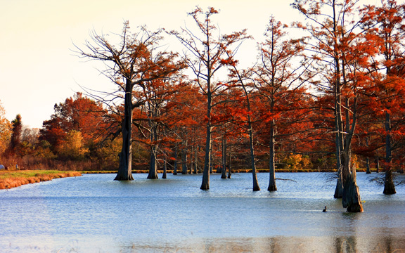
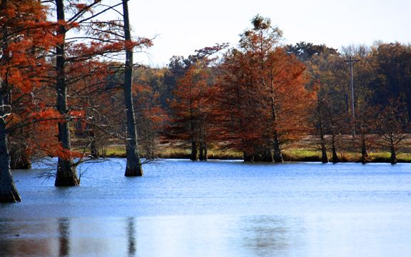
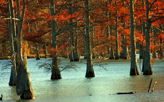
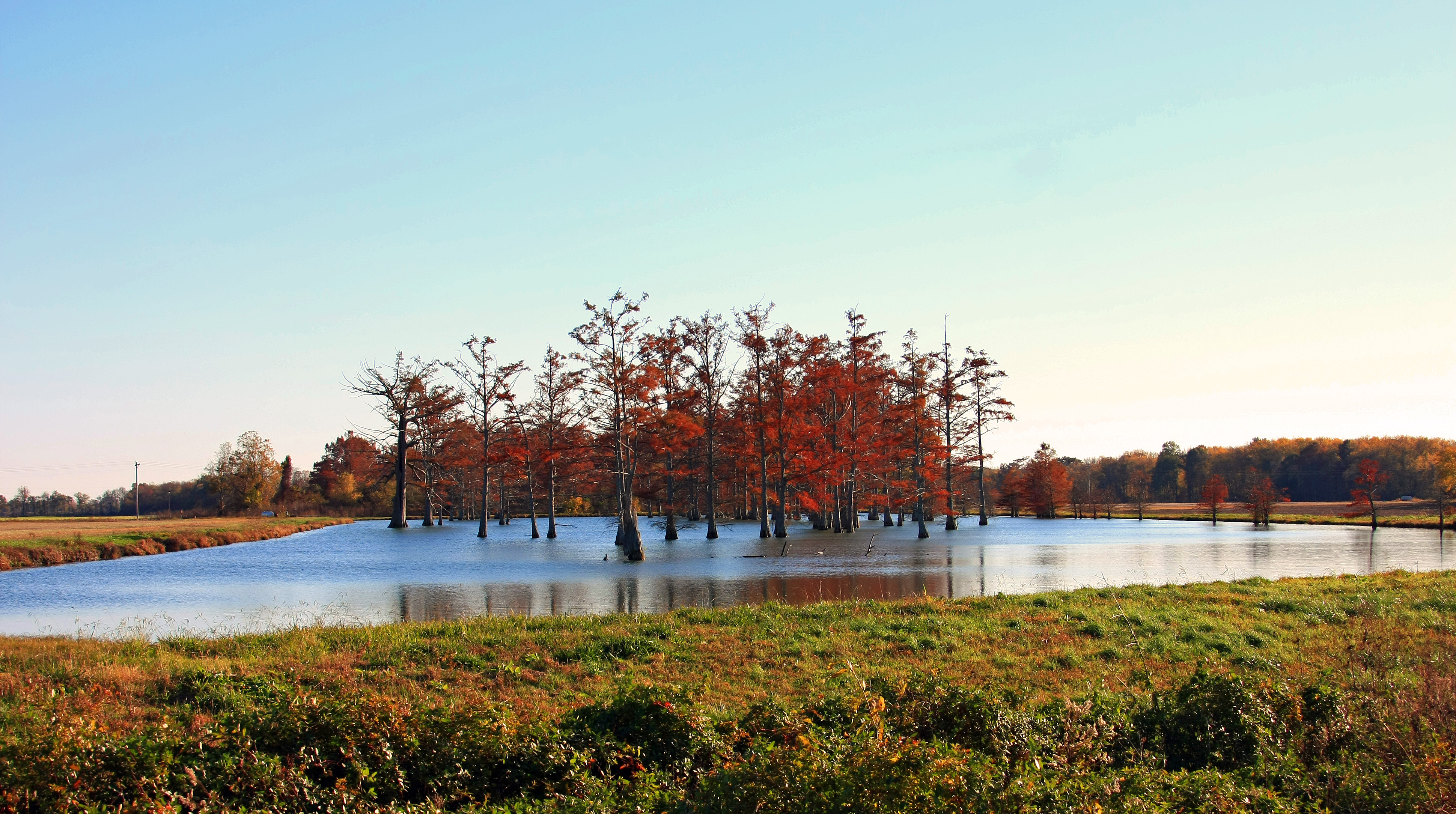
Related Photos:

An Arkansas Sunset
Arkansas-swamp3
Arkansas-swamp8
Arkansas-swamp1
Arkansas-swamp5
Arkansas-swamp
Arkansas-swamp2
Arkansas-swamp4
Arkansas-swamp7
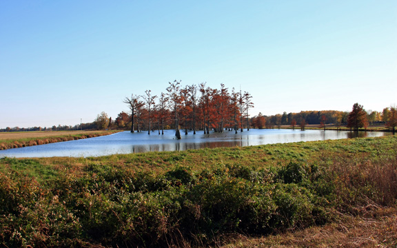
Arkansas-swamp6
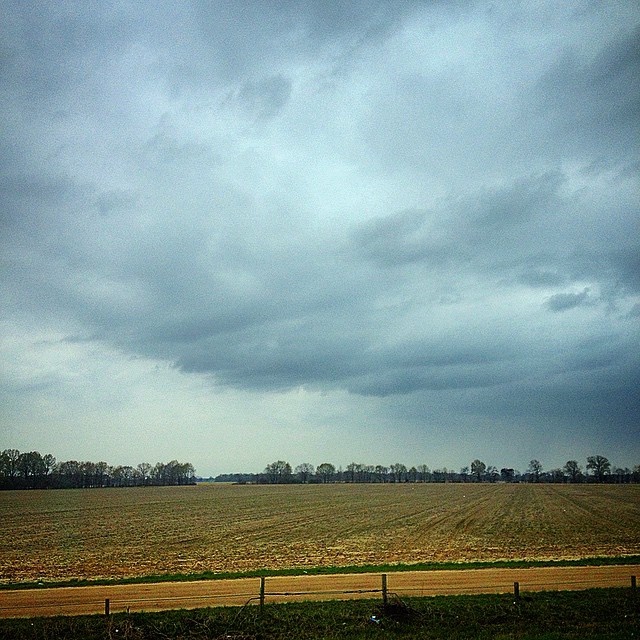
#Arkansas #arwx #cloudy #skyline
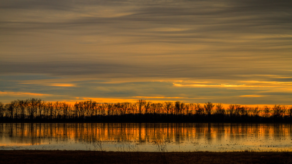
Wiggins Lake Sunset
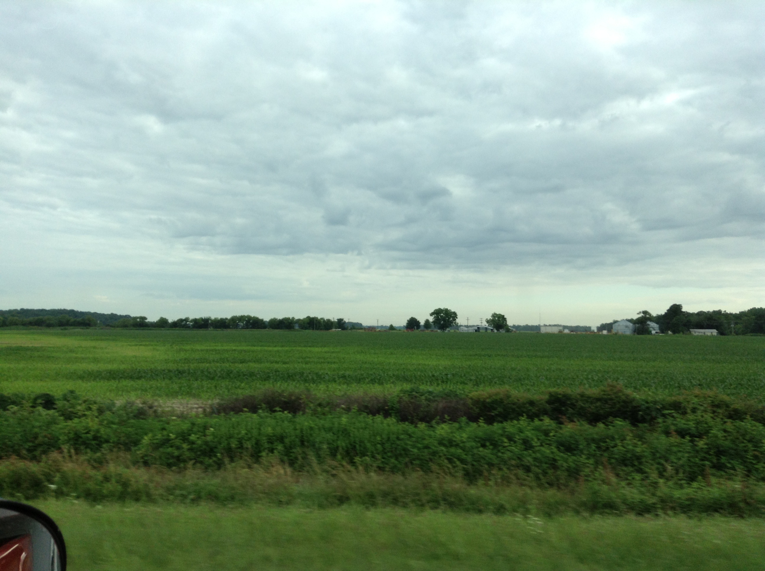
Arkansas Corn field
Deserted Sulky
Topographic Map of Sfc, Forrest City, AR, USA
Find elevation by address:

Places near Sfc, Forrest City, AR, USA:
Madison Township
617 N Forrest St
Forrest City
B Ave, Forrest City, AR, USA
4551 Us-70
Ridgecrest Dr, Forrest City, AR, USA
Telico Township
7375 Ar-1
1665 Jake Taylor Hill Rd
7485 Ar-1
US-70, Forrest City, AR, USA
4551 Us-70
Madison
2nd St, Madison, AR, USA
Colt
1179 Ar-306
Johnson Township
St. Francis County
Old Military Rd W, Colt, AR, USA
Franks Township
Recent Searches:
- Elevation of Corso Fratelli Cairoli, 35, Macerata MC, Italy
- Elevation of Tallevast Rd, Sarasota, FL, USA
- Elevation of 4th St E, Sonoma, CA, USA
- Elevation of Black Hollow Rd, Pennsdale, PA, USA
- Elevation of Oakland Ave, Williamsport, PA, USA
- Elevation of Pedrógão Grande, Portugal
- Elevation of Klee Dr, Martinsburg, WV, USA
- Elevation of Via Roma, Pieranica CR, Italy
- Elevation of Tavkvetili Mountain, Georgia
- Elevation of Hartfords Bluff Cir, Mt Pleasant, SC, USA