Elevation of Franklin County, AL, USA
Location: United States > Alabama >
Longitude: -87.618637
Latitude: 34.3967457
Elevation: 306m / 1004feet
Barometric Pressure: 98KPa
Elevation Map:
Satellite Map:
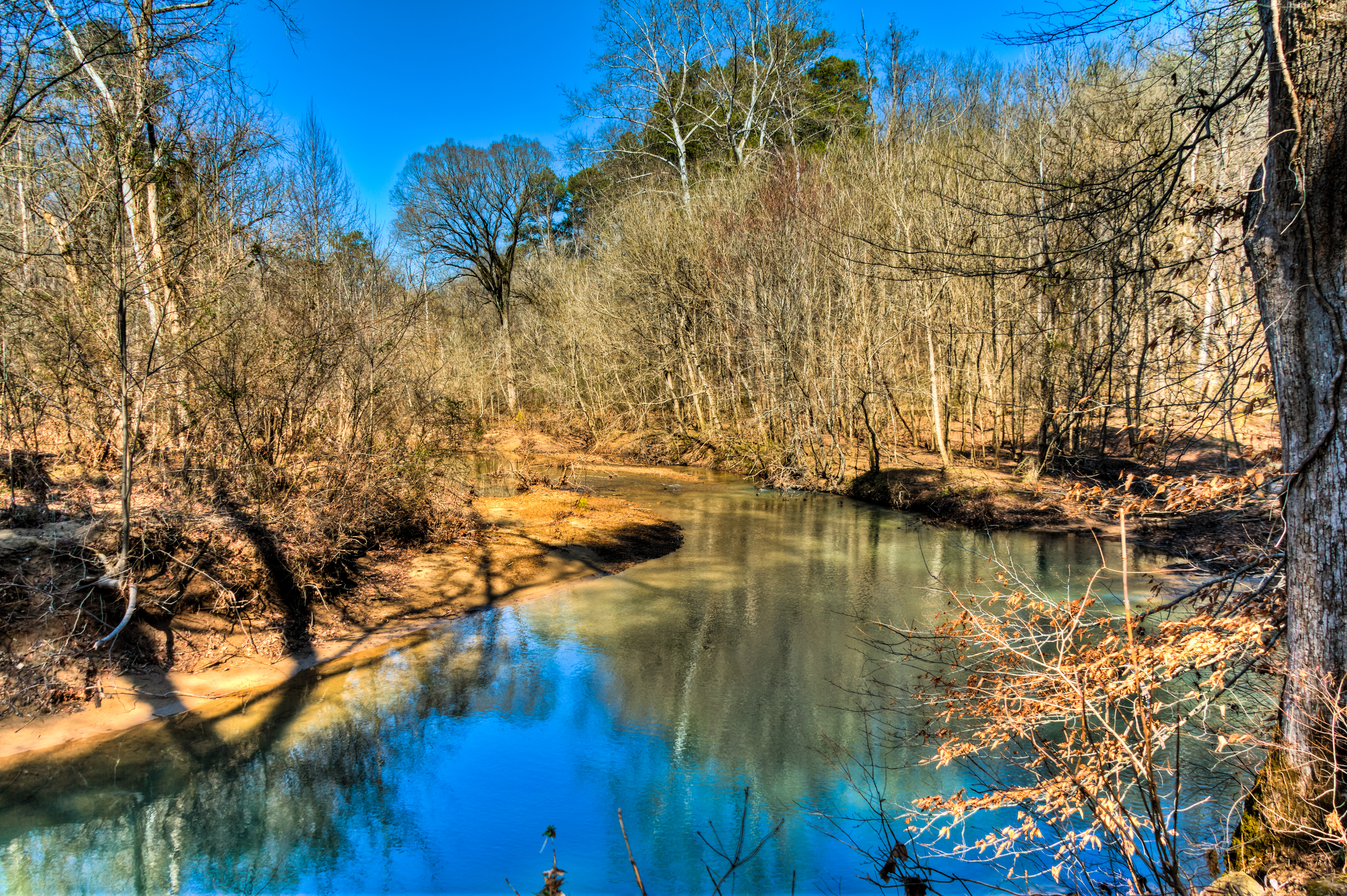
Related Photos:
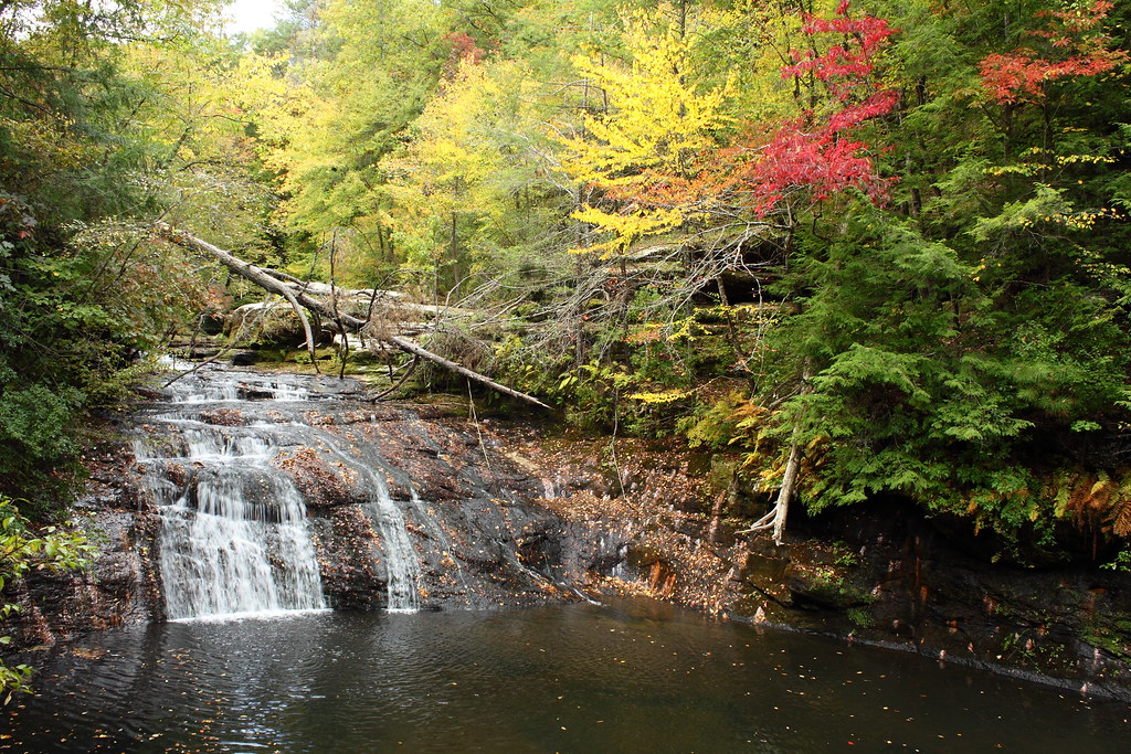
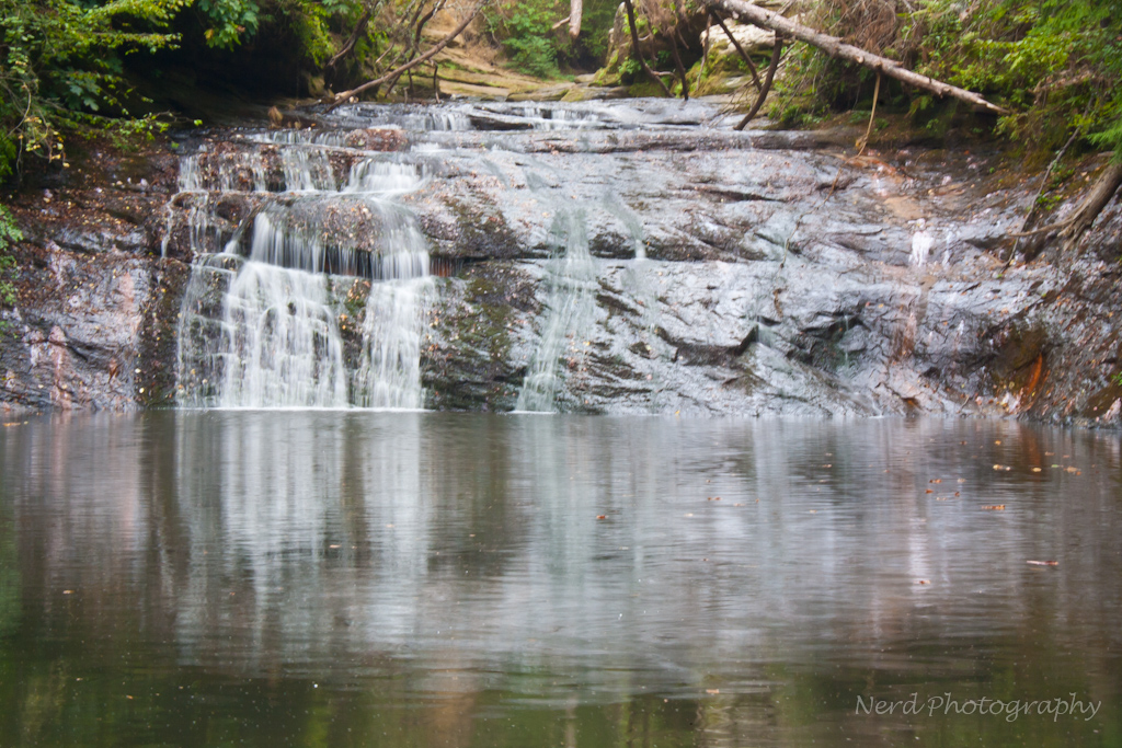
Low flow @ Kinlock Falls
bankhead-4646-344
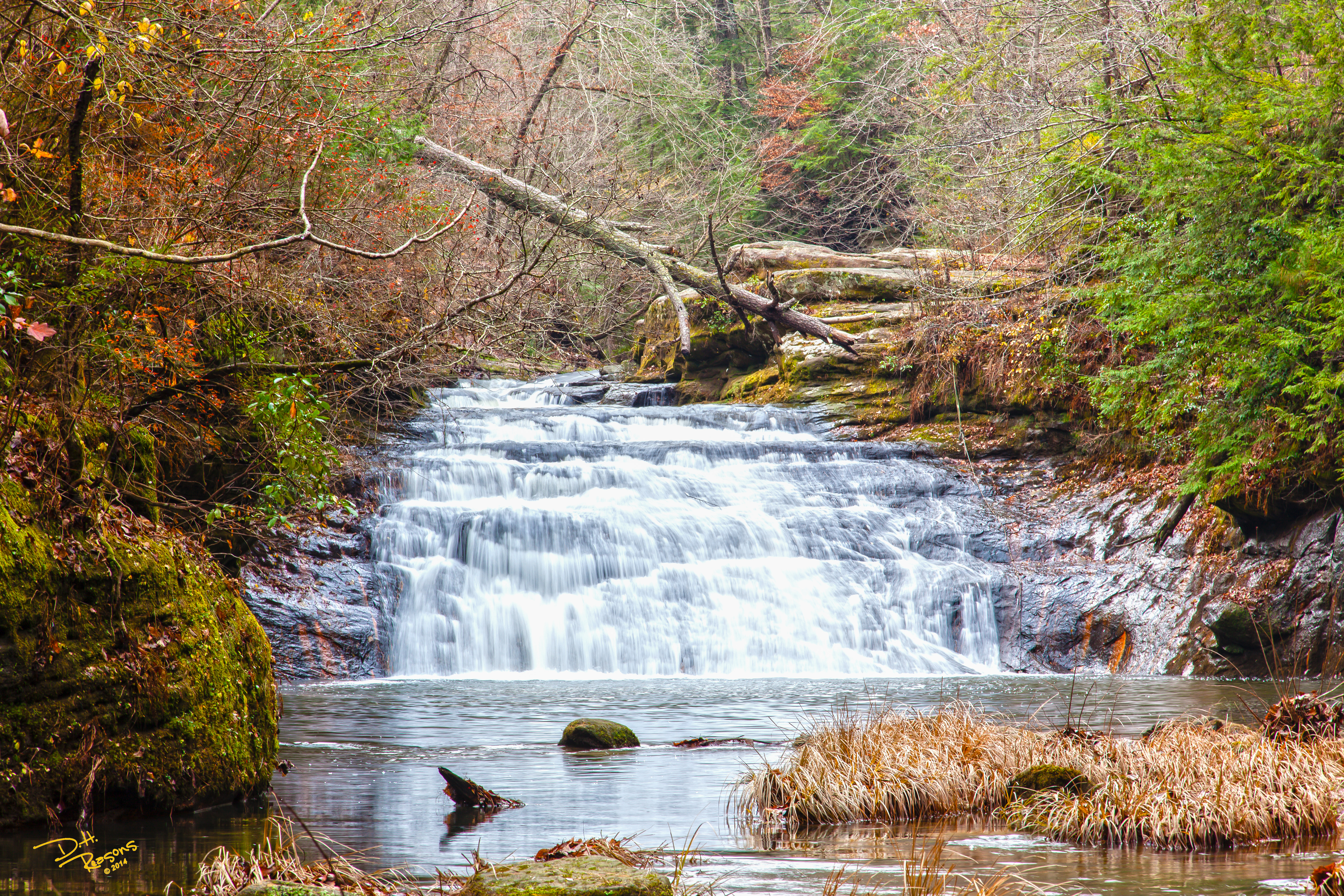
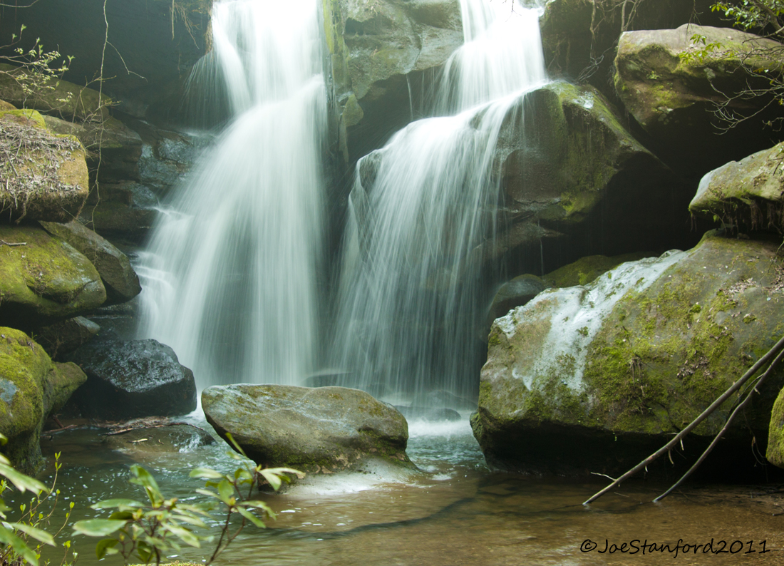
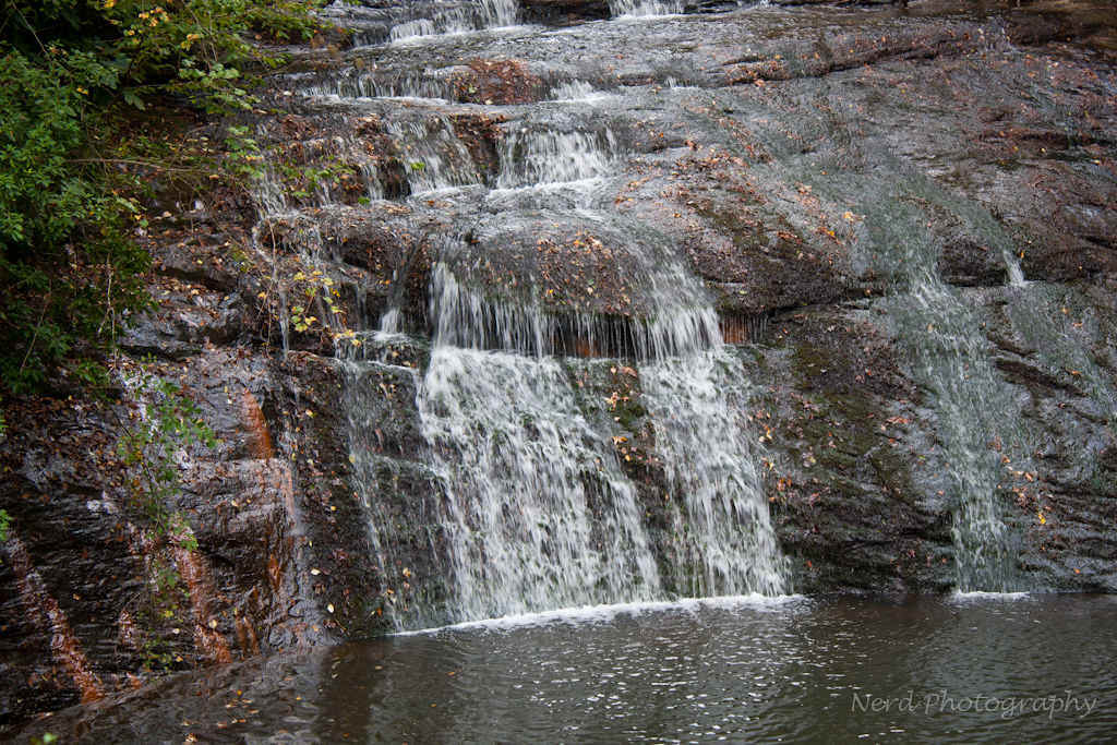
Lower Caney Creek Falls
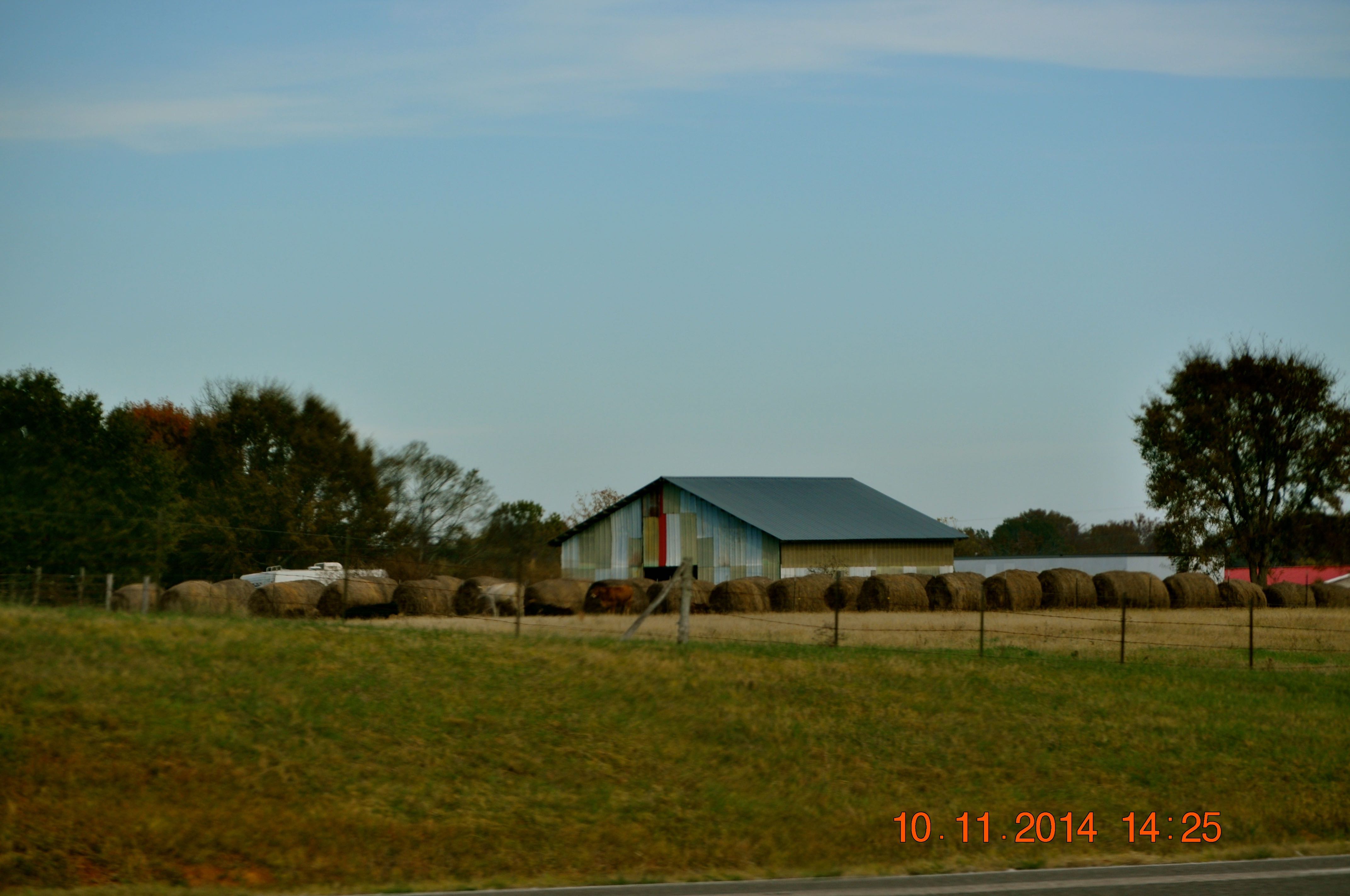
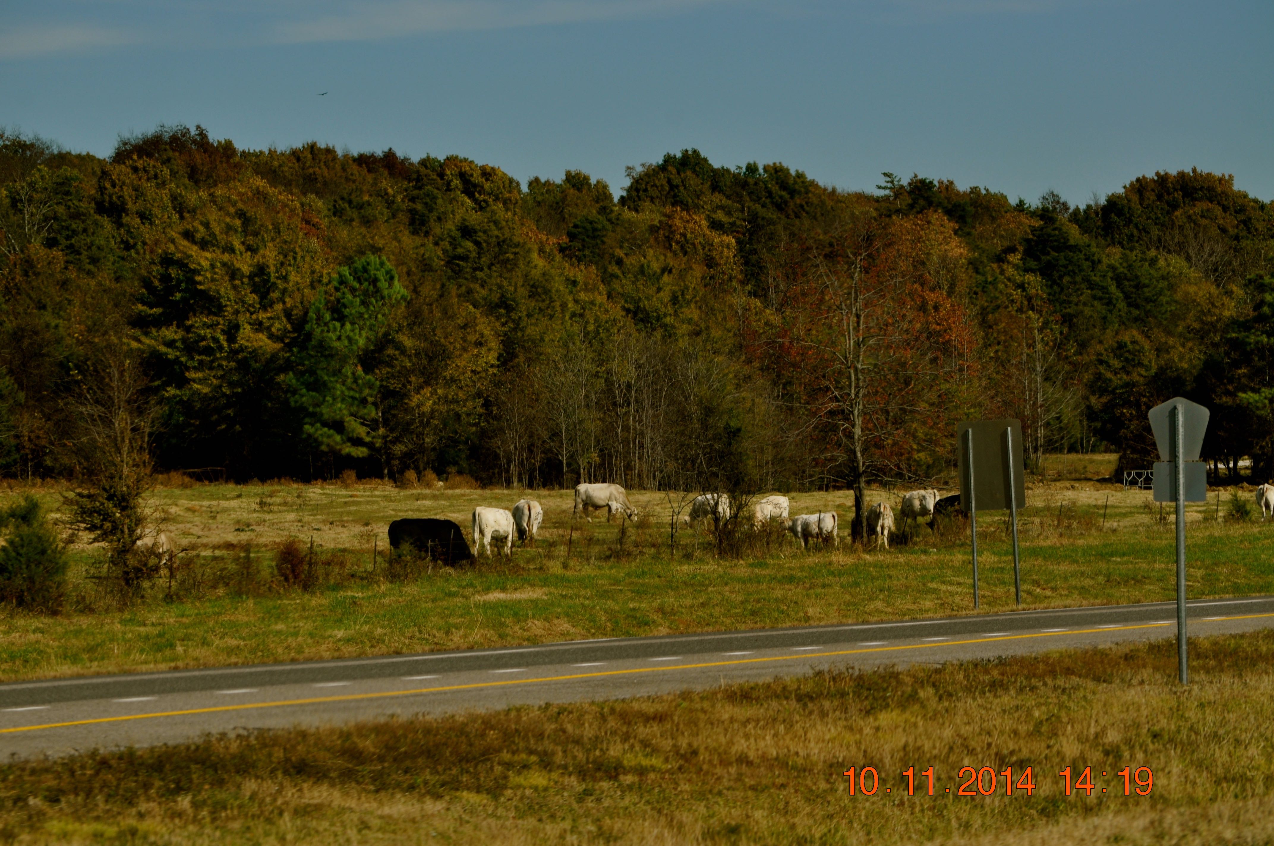
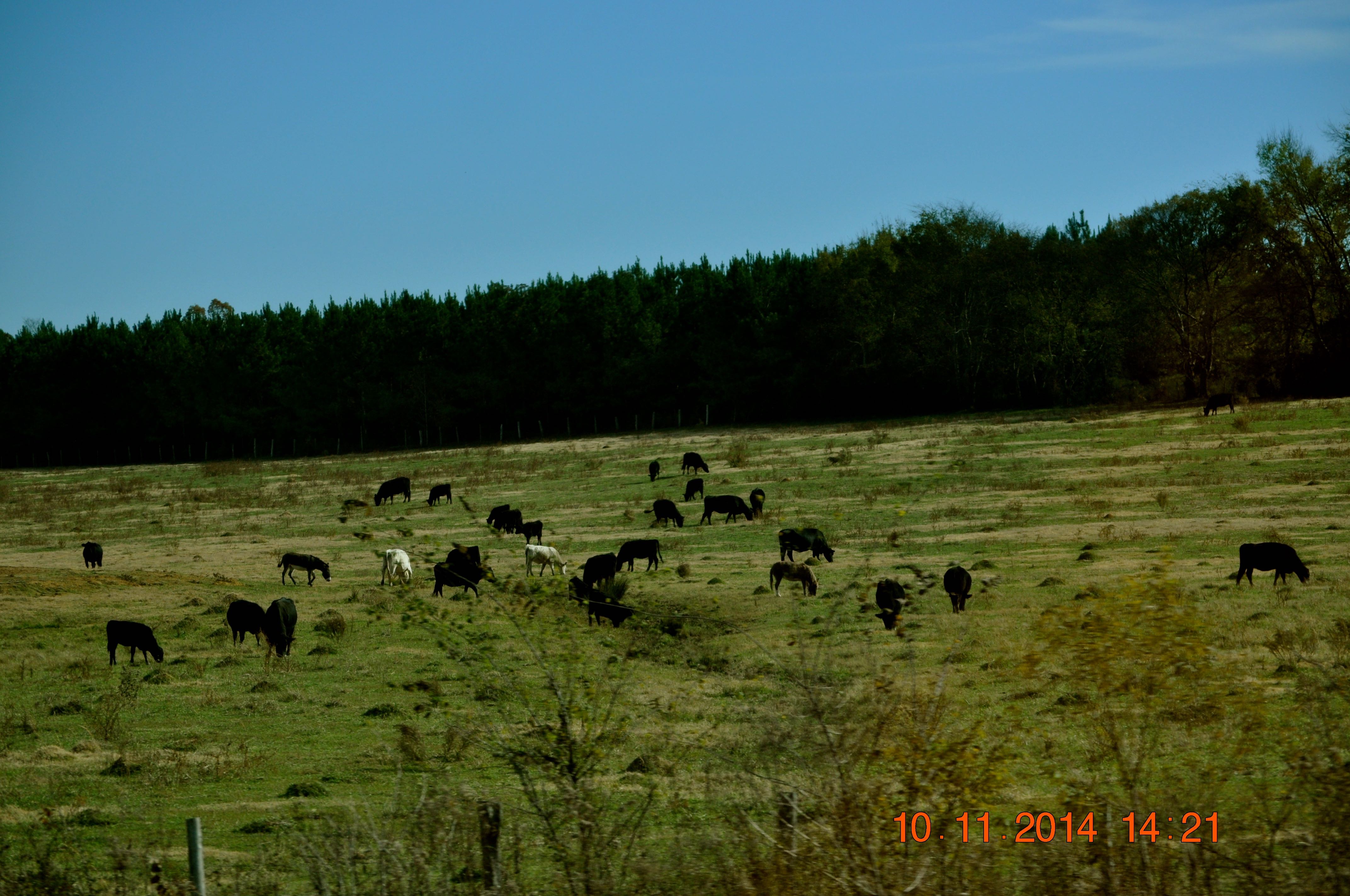
2014 November 10 Traveling Hwy 24 East toward Moulton Al

2014 November 10 Traveling Hwy 24 East toward Moulton Al
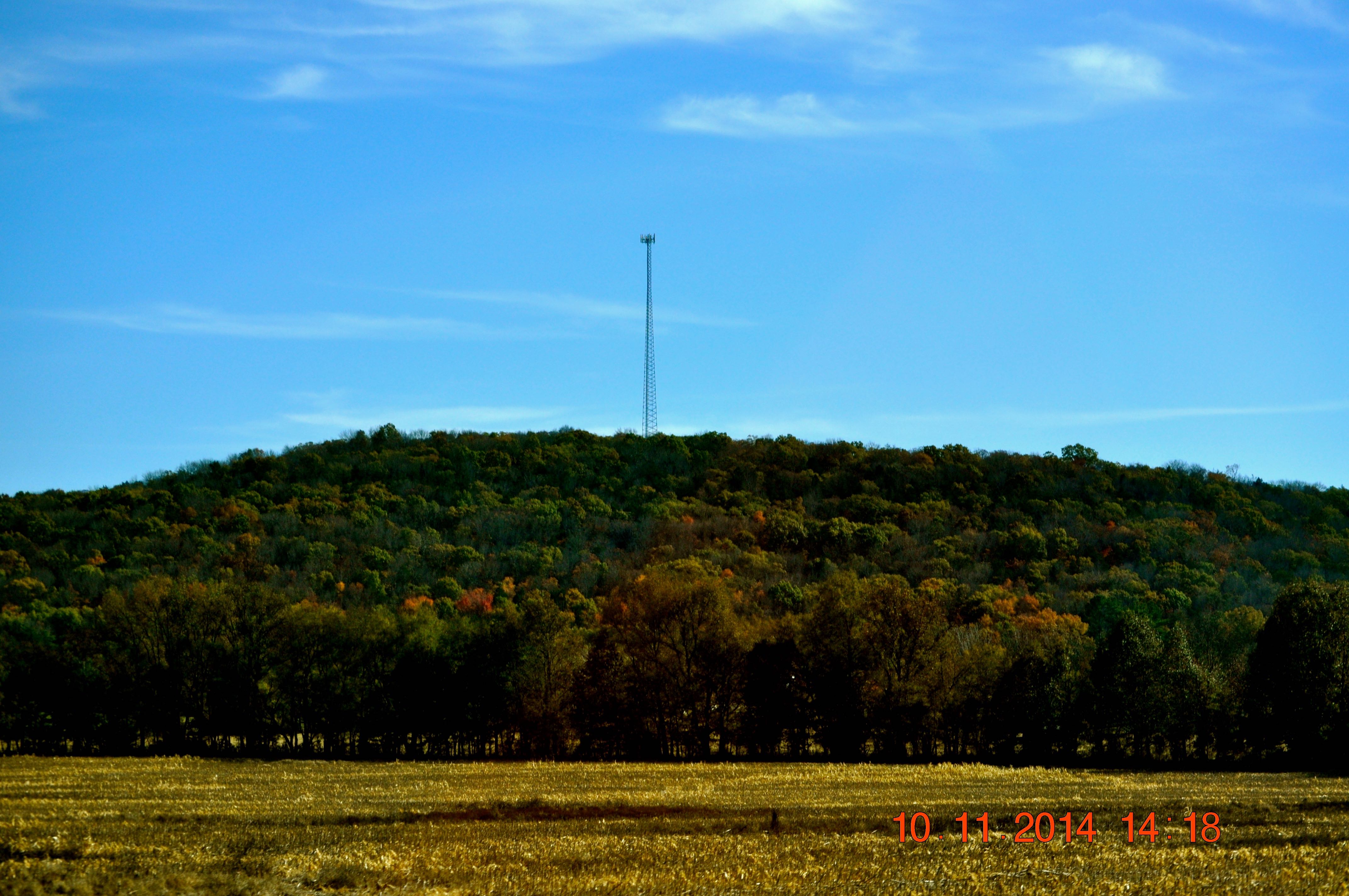
2014 November 10 Traveling Hwy 24 East toward Moulton Al
2014 November 10 Traveling Hwy 24 East toward Moulton Al
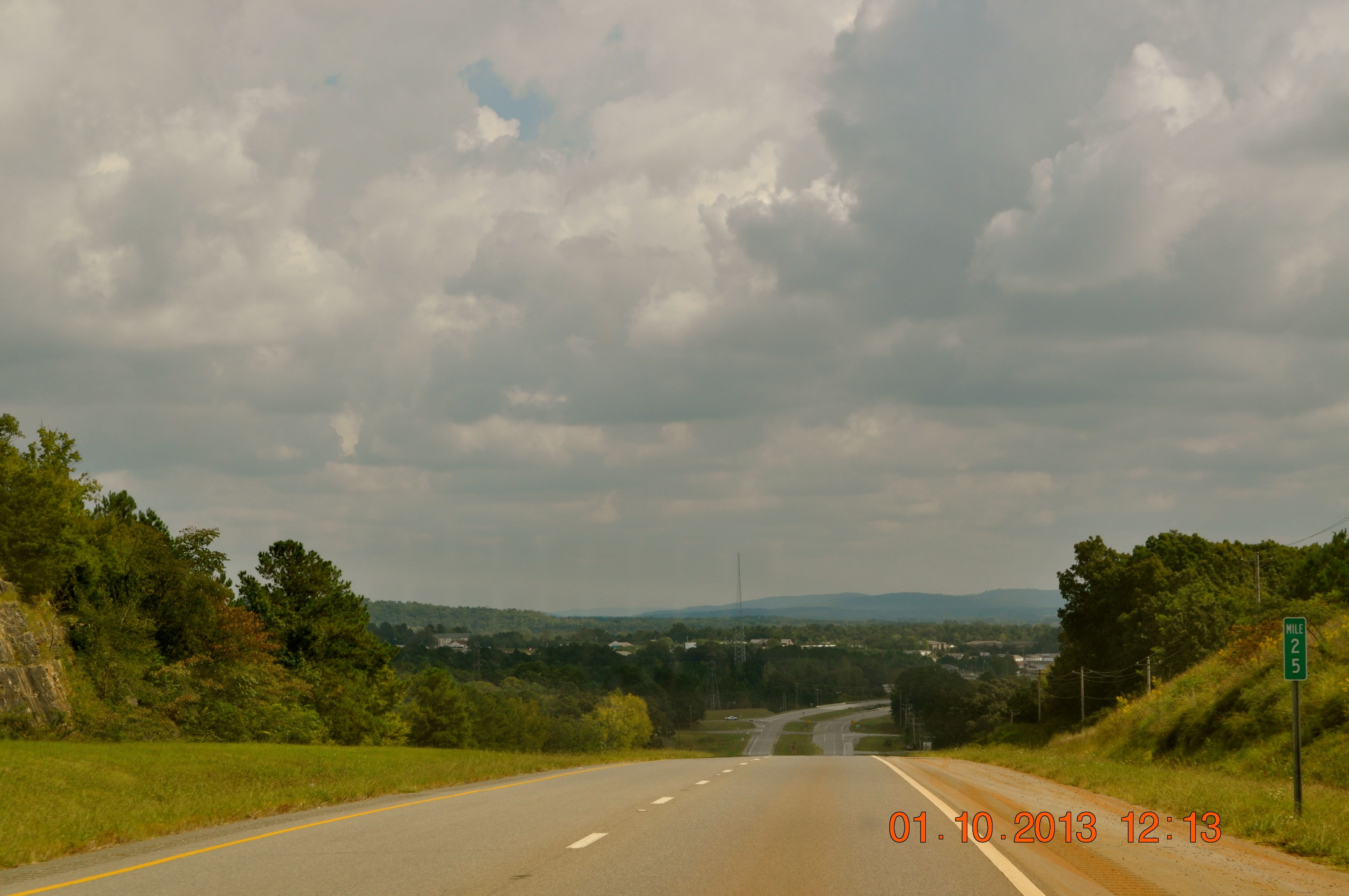
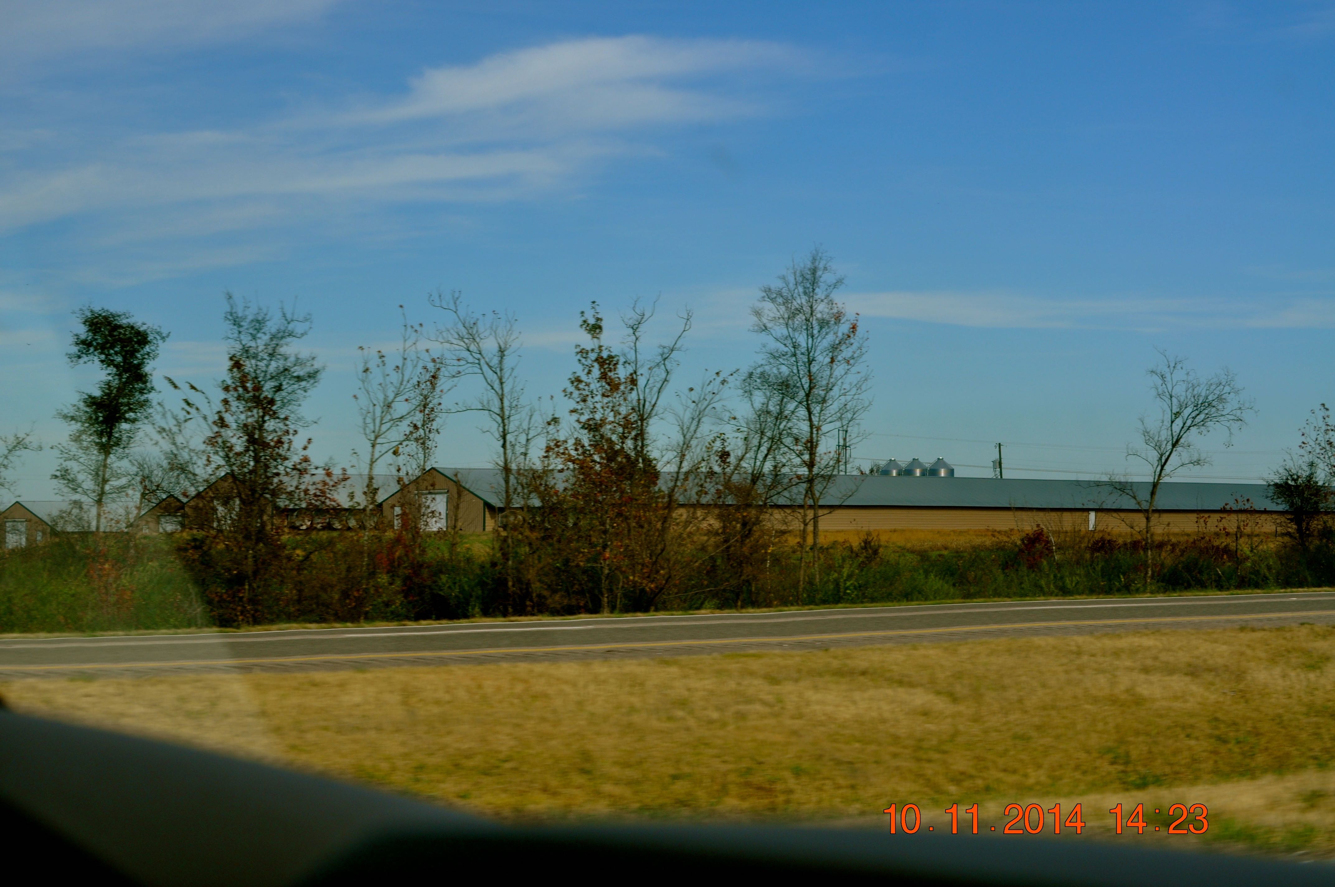
Hwy 24 East heading toward Russellville
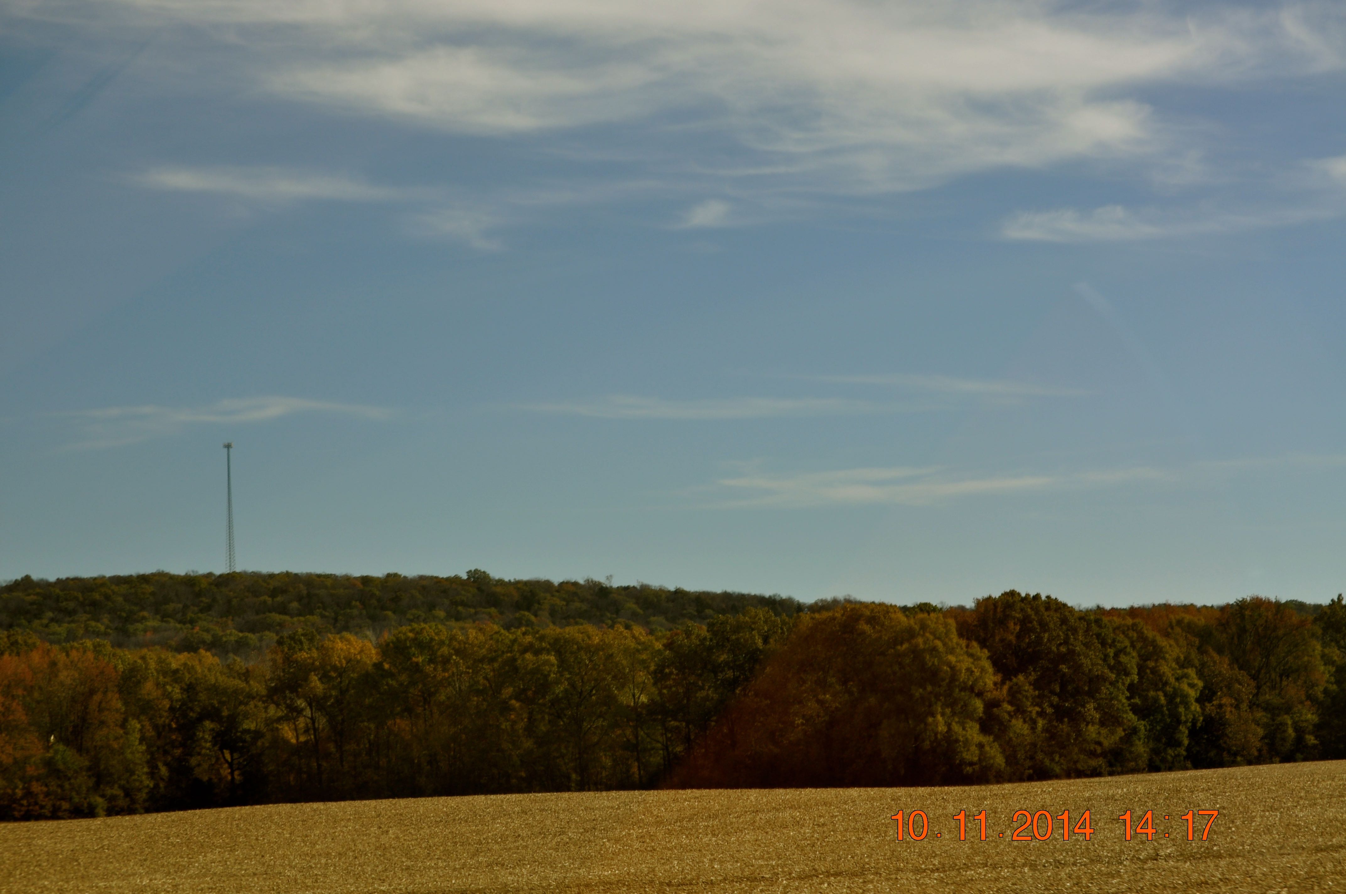
2014 November 10 Traveling Hwy 24 East toward Moulton Al
2014 November 10 Traveling Hwy 24 East toward Moulton Al
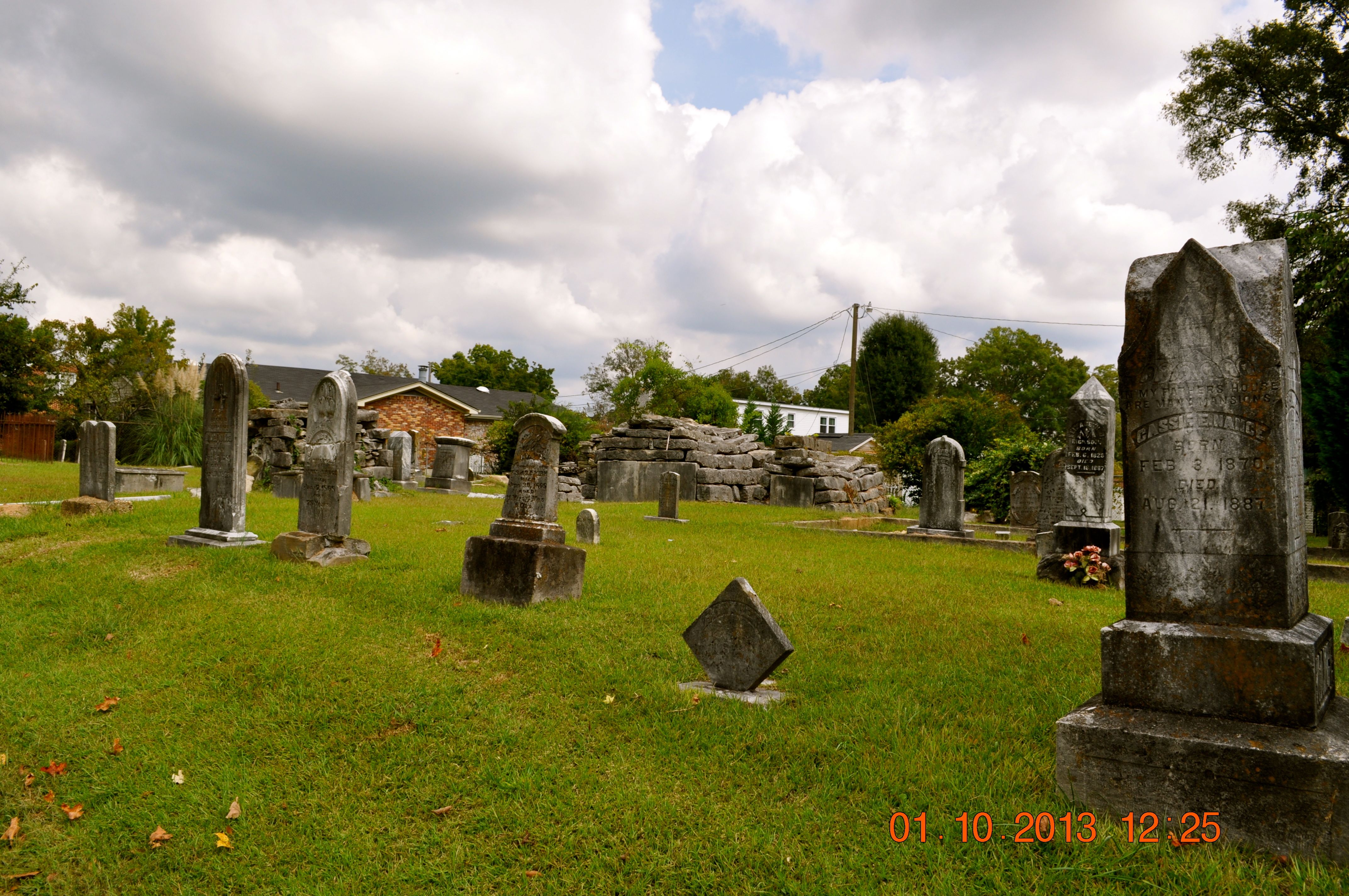
Sadler Cemetery 1832
2014 November 10 Traveling Hwy 24 East toward Moulton Al
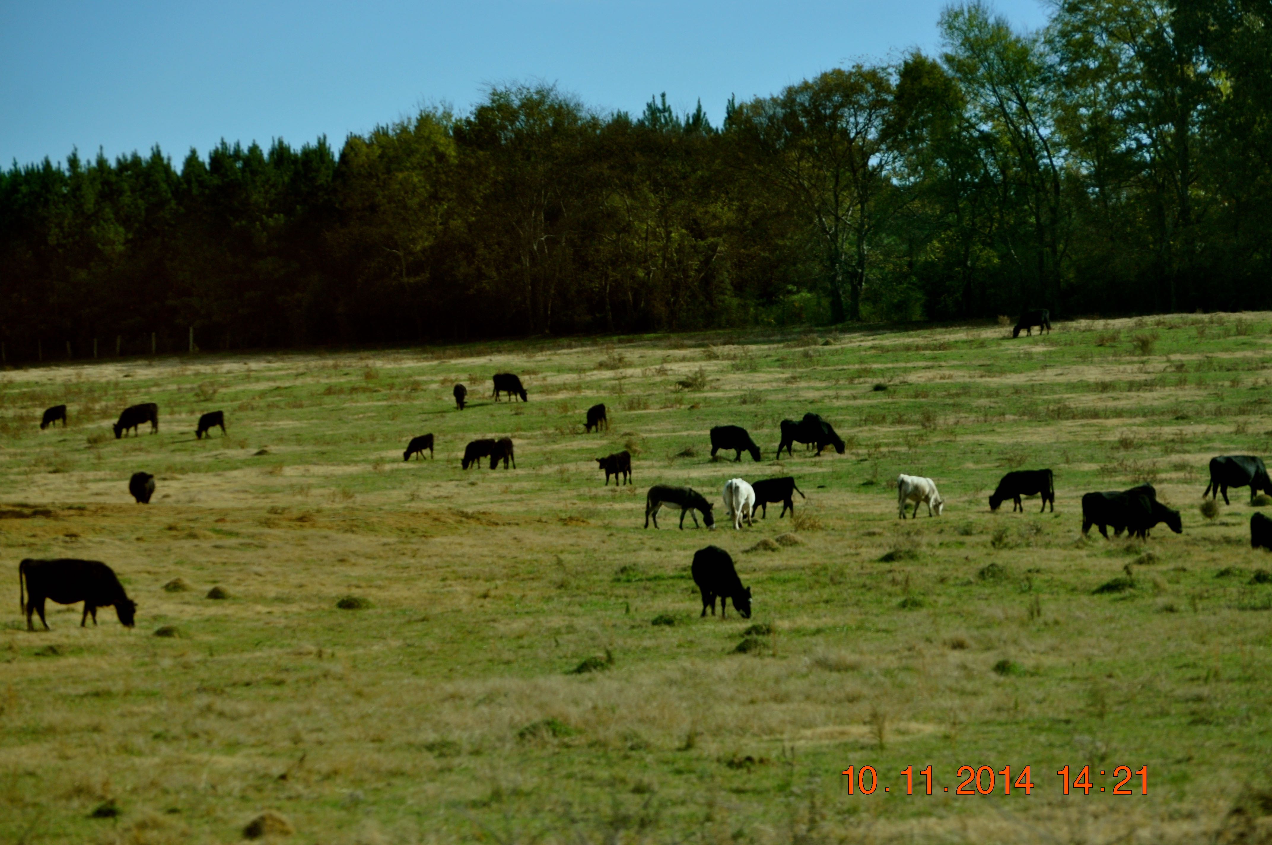
2014 November 10 Traveling Hwy 24 East toward Moulton Al
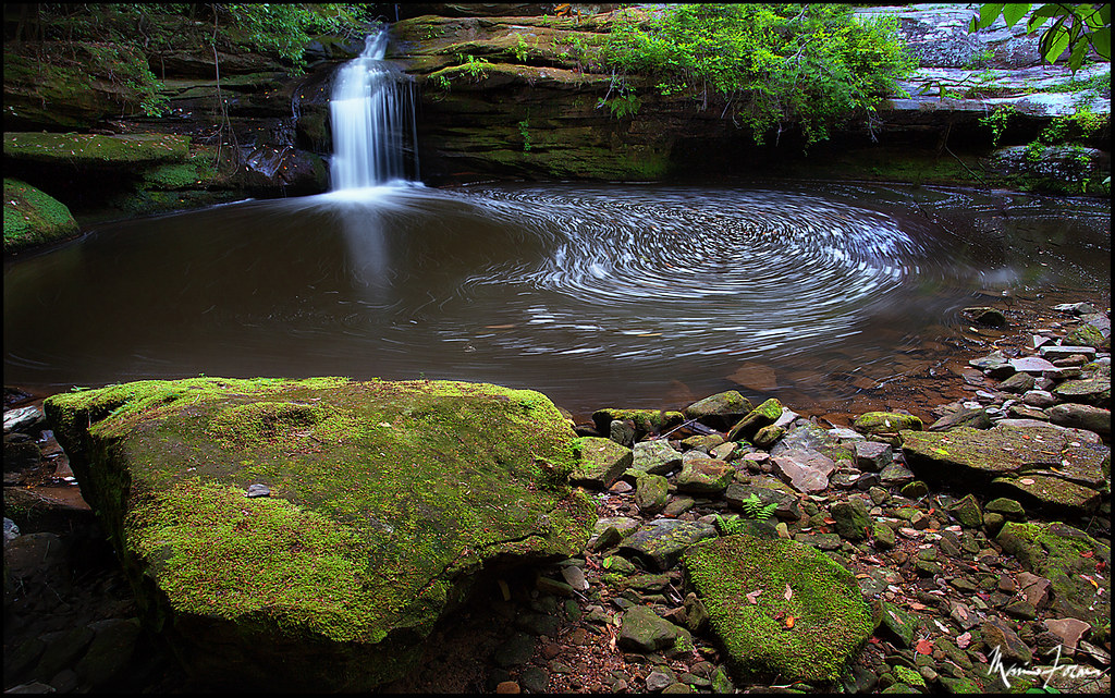
DCFalls copy
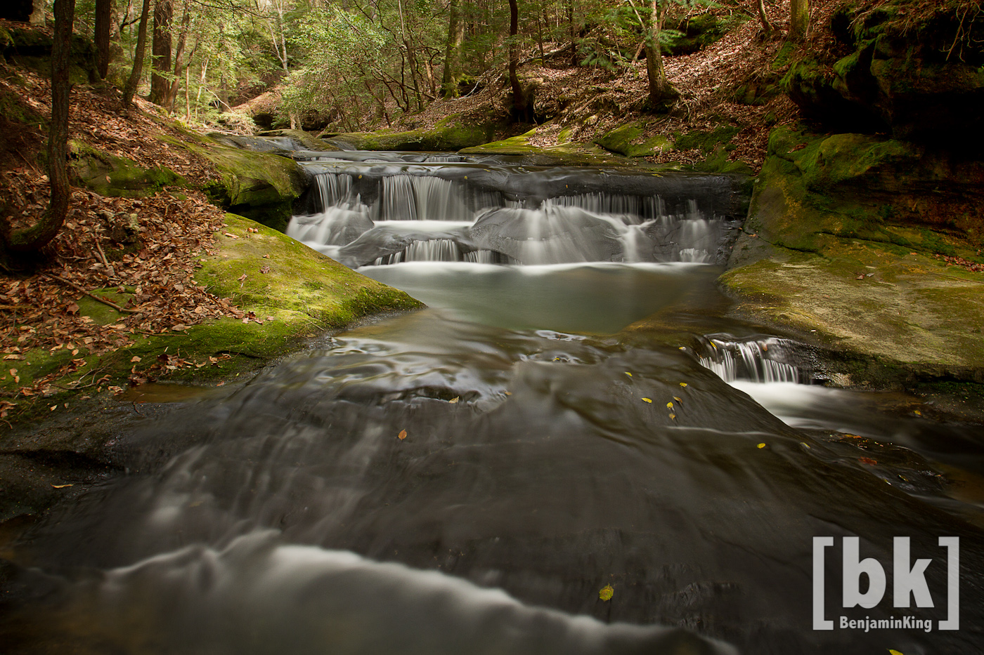
Quillen Creek Cascades
IMG_0351-1
IMG_0346-1
IMG_0345-1
Sipw_20110226_6883_4_5.jpg

Baby Fern
IMG_0353-1
Topographic Map of Franklin County, AL, USA
Find elevation by address:

Places in Franklin County, AL, USA:
Places near Franklin County, AL, USA:
AL-, Phil Campbell, AL, USA
County Rd 93, Russellville, AL, USA
Phil Campbell
County Rd 22, Spruce Pine, AL, USA
Spruce Pine
Posey Field
County Rd 48, Russellville, AL, USA
6847 Us-43
County Rd 11, Haleyville, AL, USA
12 Birch St
15 Birch St
142 School Ave
142 School Ave
1287 County Rd 177
Bear Creek
US-43, Russellville, AL, USA
Mountain Star Rd, Russellville, AL, USA
531 High Ave
2575 Co Rd 62
US-43, Phil Campbell, AL, USA
Recent Searches:
- Elevation of Corso Fratelli Cairoli, 35, Macerata MC, Italy
- Elevation of Tallevast Rd, Sarasota, FL, USA
- Elevation of 4th St E, Sonoma, CA, USA
- Elevation of Black Hollow Rd, Pennsdale, PA, USA
- Elevation of Oakland Ave, Williamsport, PA, USA
- Elevation of Pedrógão Grande, Portugal
- Elevation of Klee Dr, Martinsburg, WV, USA
- Elevation of Via Roma, Pieranica CR, Italy
- Elevation of Tavkvetili Mountain, Georgia
- Elevation of Hartfords Bluff Cir, Mt Pleasant, SC, USA