Elevation of Vina, AL, USA
Location: United States > Alabama > Franklin County >
Longitude: -88.058649
Latitude: 34.3764873
Elevation: 207m / 679feet
Barometric Pressure: 99KPa
Elevation Map:
Satellite Map:
Related Photos:

Mystic Falls...

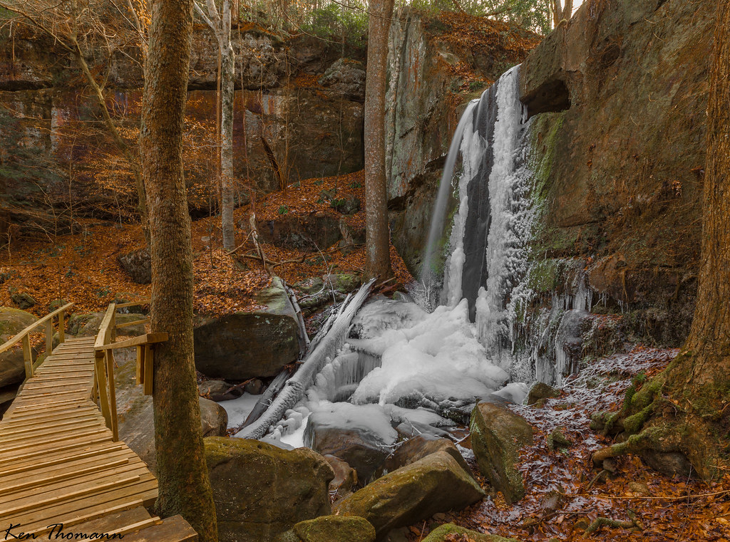
Rock Bridge Canyon Falls
Old Mill Falls...

Mystic Falls...

Treasure II #28

Treasure II #15

Thomas' Old Stomping Grounds
Traveling Home from Red Bay
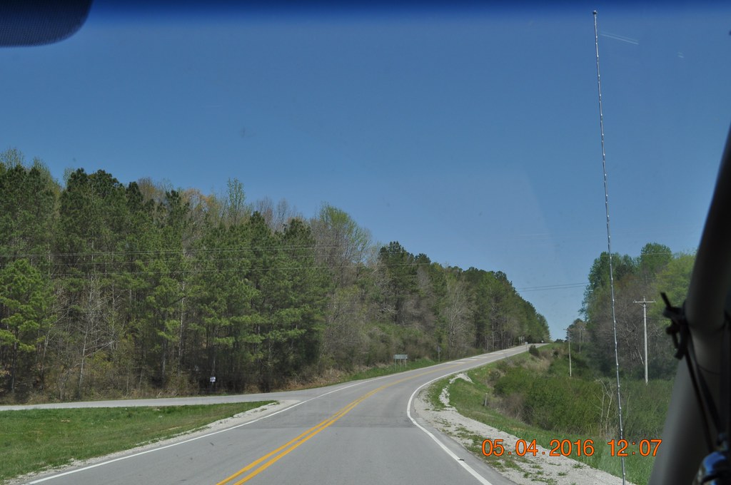
Traveling to Red Bay
Traveling to Red Bay
Traveling to Red Bay
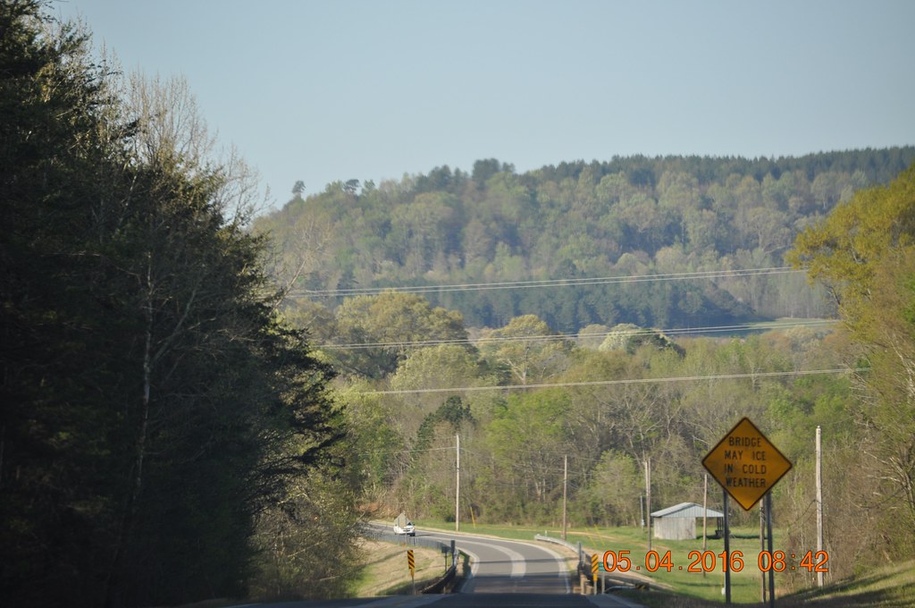
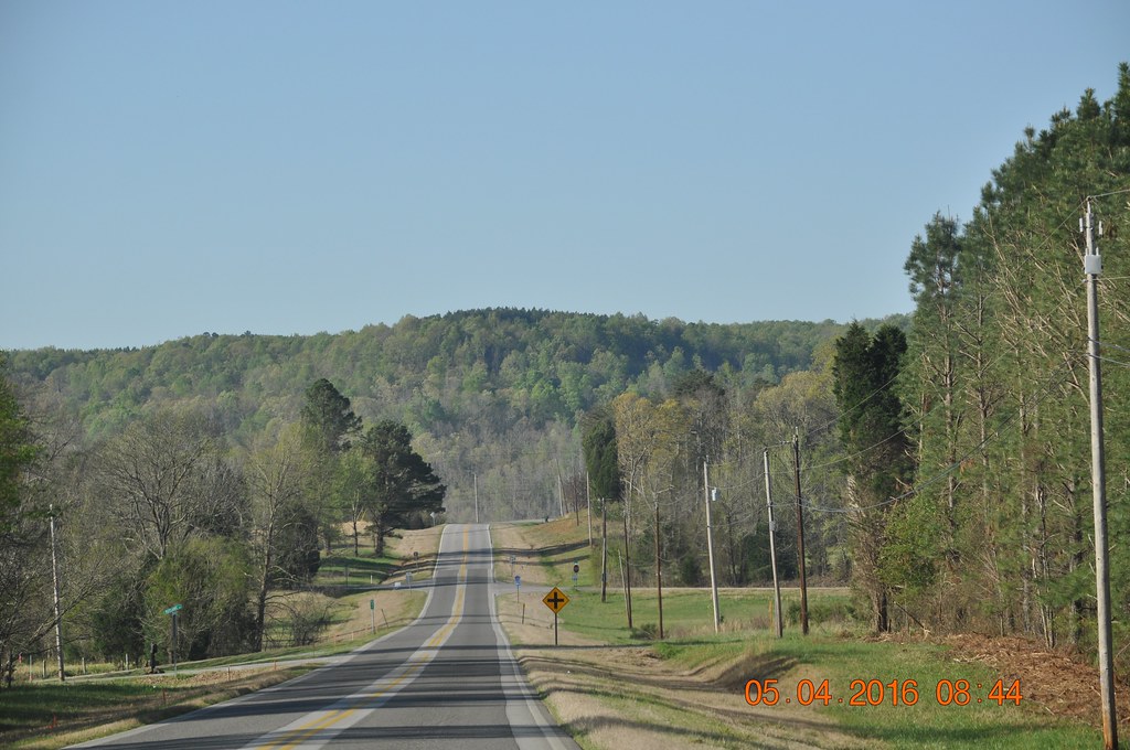
Hwy 24 West Franklin Co Al

Hwy 24 West Franklin Co Al

Hwy 24 West Franklin Co Al
Topographic Map of Vina, AL, USA
Find elevation by address:

Places in Vina, AL, USA:
Places near Vina, AL, USA:
County Rd 16, Vina, AL, USA
Red Bay
4th Ave S, Red Bay, AL, USA
Co Rd 13, Vina, AL, USA
Hodges
227 Freedom Hills Rd
395 Freedom Hills Rd
AL-, Hodges, AL, USA
Goggans Road
Mt Gilead Rd, Fulton, MS, USA
3040 Co Rd 167
Lochridge Ln, Hamilton, AL, USA
AL-, Hackleburg, AL, USA
12270 Al-172
County Road 57
AL-, Russellville, AL, USA
Military Trail, Hamilton, AL, USA
Bexar Ave W, Hamilton, AL, USA
587 Valleyview Dr
331 Wes Yielding Rd
Recent Searches:
- Elevation of Corso Fratelli Cairoli, 35, Macerata MC, Italy
- Elevation of Tallevast Rd, Sarasota, FL, USA
- Elevation of 4th St E, Sonoma, CA, USA
- Elevation of Black Hollow Rd, Pennsdale, PA, USA
- Elevation of Oakland Ave, Williamsport, PA, USA
- Elevation of Pedrógão Grande, Portugal
- Elevation of Klee Dr, Martinsburg, WV, USA
- Elevation of Via Roma, Pieranica CR, Italy
- Elevation of Tavkvetili Mountain, Georgia
- Elevation of Hartfords Bluff Cir, Mt Pleasant, SC, USA