Elevation of Military Trail, Hamilton, AL, USA
Location: United States > Alabama > Marion County > Hamilton >
Longitude: -87.99104
Latitude: 34.171185
Elevation: 199m / 653feet
Barometric Pressure: 99KPa
Elevation Map:
Satellite Map:
Related Photos:

4 years #3 (series)

4 years # 5 (series)

Art Journaling Keys (in progress)

4 Years #4 (series)

4 Years #2 (series)
4 Years (series)

Almost Full

View from the Door

CRazY ColOR

The Return

Shadow Burst

Treasure II #28

Treasure II #15

Swamp Couch

Hazey Chair
The Beach

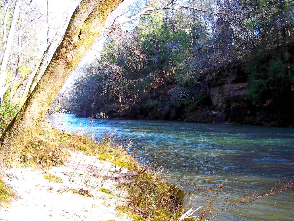
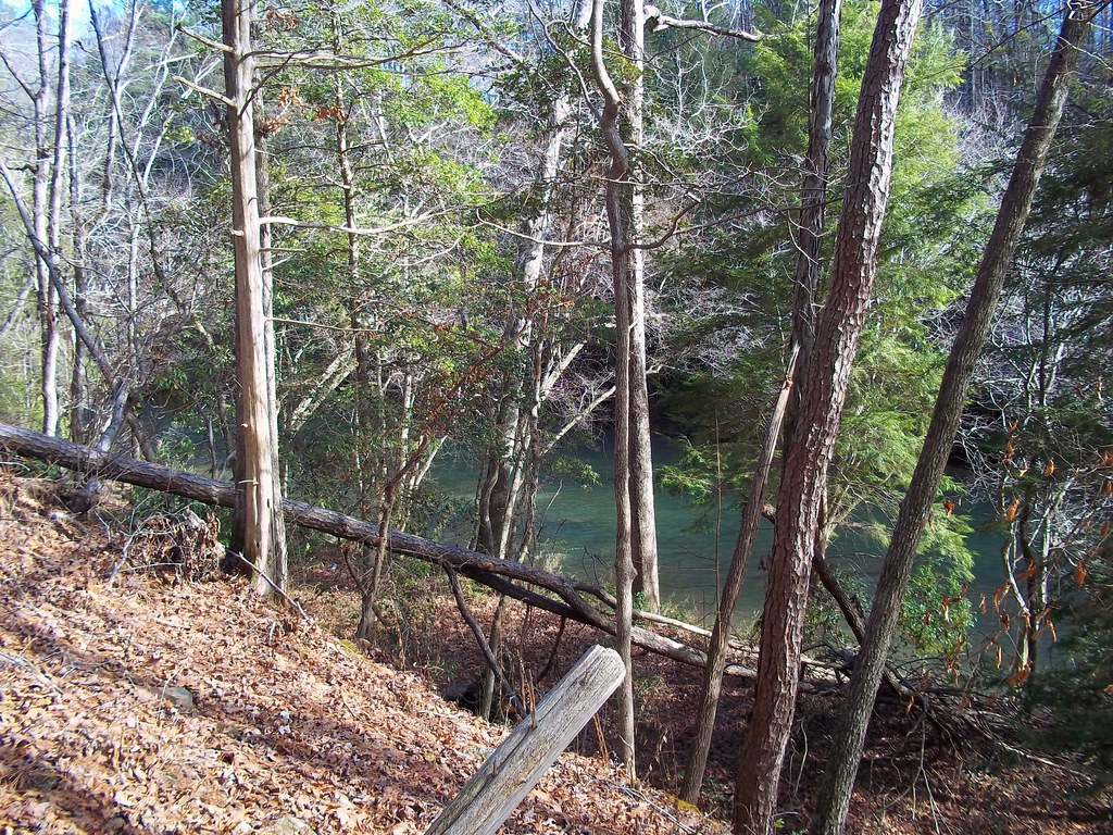
Up stream

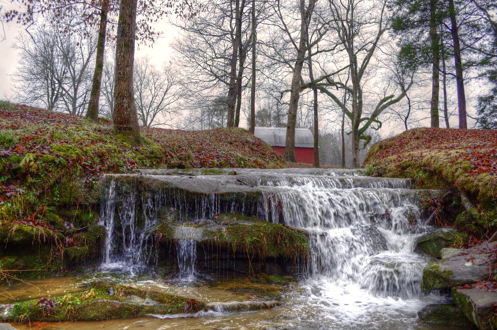
No name falls

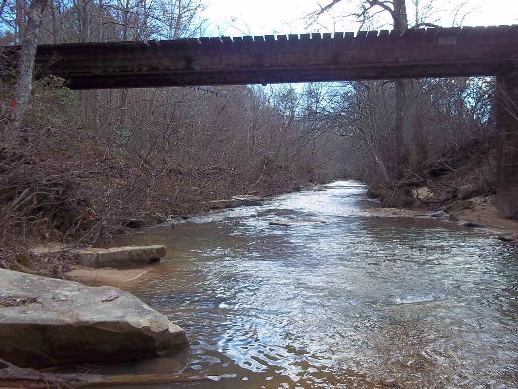
Up the River
Support?
Going Up?
Lookin Down
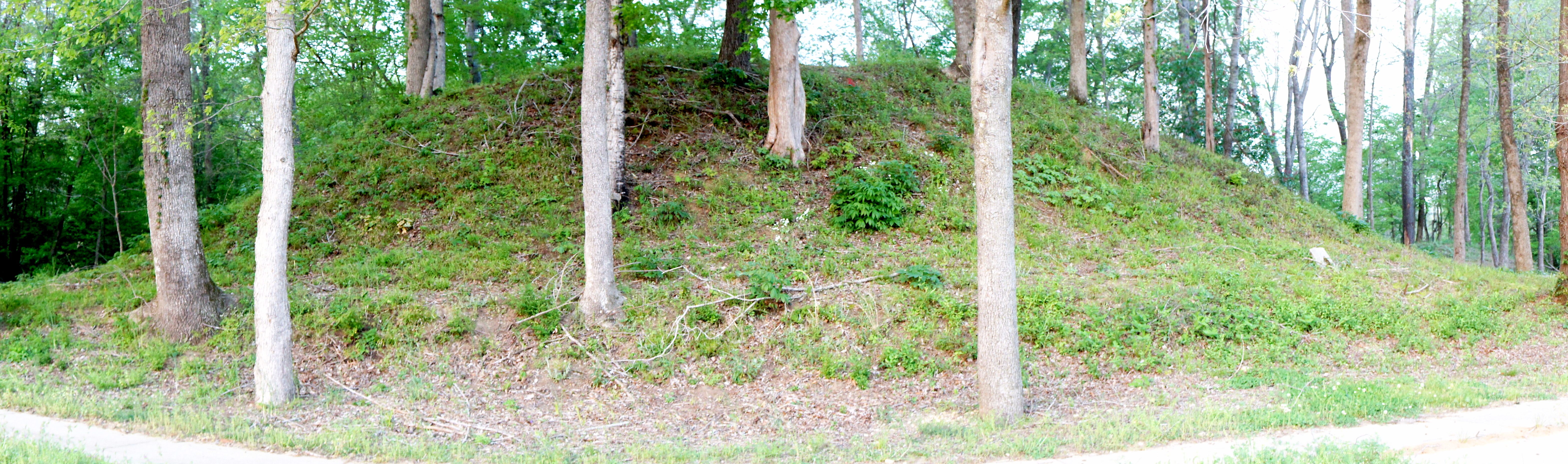
Indian Mound - Military Ford -Hamilton
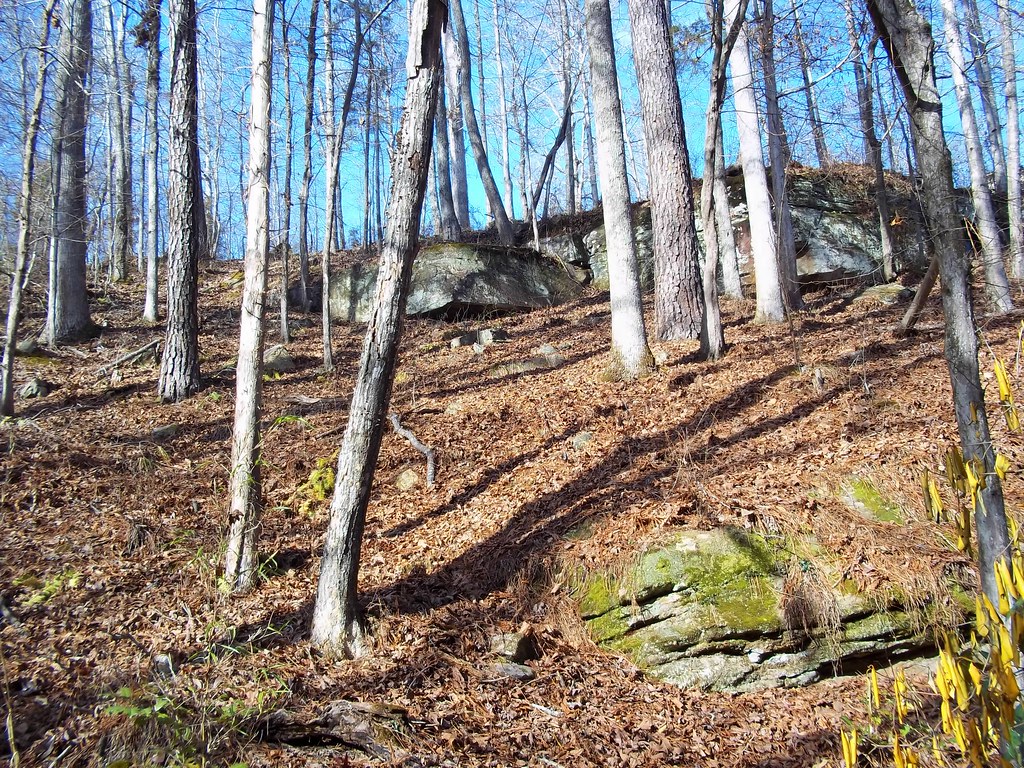
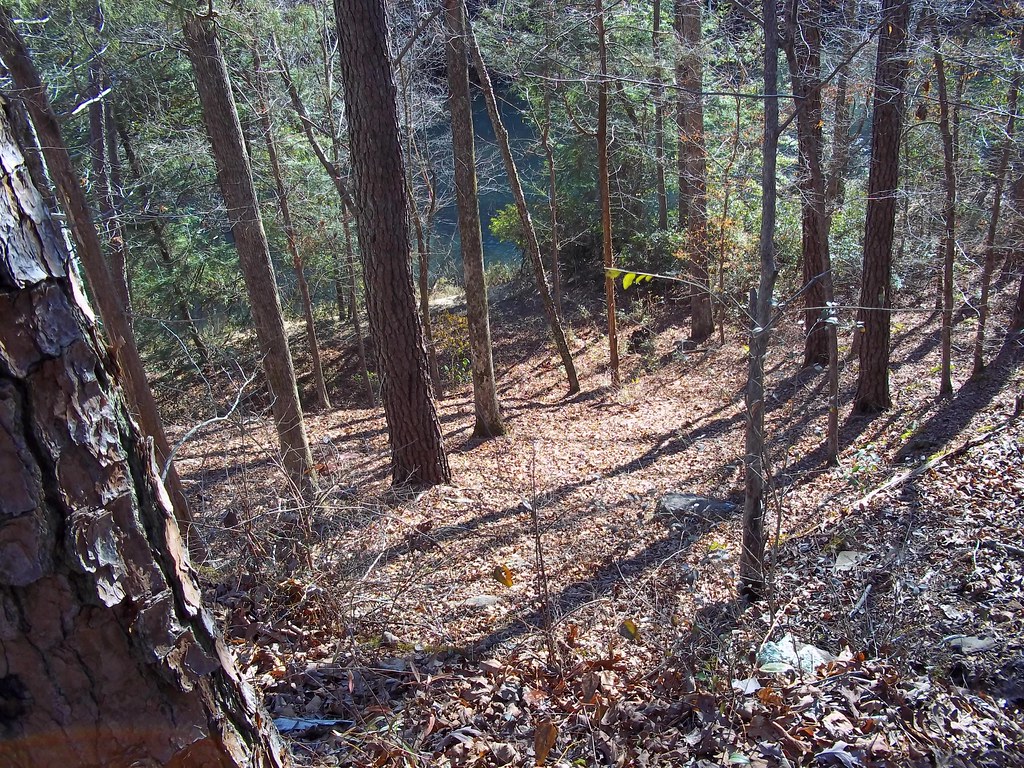
From above
Topographic Map of Military Trail, Hamilton, AL, USA
Find elevation by address:

Places near Military Trail, Hamilton, AL, USA:
587 Valleyview Dr
Hamilton
Bexar Ave W, Hamilton, AL, USA
Co Rd 55, Hamilton, AL, USA
Goggans Road
3040 Co Rd 167
1018 Prospector Rd
AL-, Hodges, AL, USA
Lochridge Ln, Hamilton, AL, USA
AL-, Hackleburg, AL, USA
Co Rd 42, Guin, AL, USA
AL-, Hamilton, AL, USA
Co Rd 13, Vina, AL, USA
12270 Al-172
331 Wes Yielding Rd
Hodges
Stinson Rd, Guin, AL, USA
Alabama 253
AL-, Bear Creek, AL, USA
107 N Main St
Recent Searches:
- Elevation of Corso Fratelli Cairoli, 35, Macerata MC, Italy
- Elevation of Tallevast Rd, Sarasota, FL, USA
- Elevation of 4th St E, Sonoma, CA, USA
- Elevation of Black Hollow Rd, Pennsdale, PA, USA
- Elevation of Oakland Ave, Williamsport, PA, USA
- Elevation of Pedrógão Grande, Portugal
- Elevation of Klee Dr, Martinsburg, WV, USA
- Elevation of Via Roma, Pieranica CR, Italy
- Elevation of Tavkvetili Mountain, Georgia
- Elevation of Hartfords Bluff Cir, Mt Pleasant, SC, USA