Elevation of Mountain Star Rd, Russellville, AL, USA
Location: United States > Alabama > Franklin County > Russellville >
Longitude: -87.653364
Latitude: 34.5418779
Elevation: 205m / 673feet
Barometric Pressure: 99KPa
Elevation Map:
Satellite Map:
Related Photos:
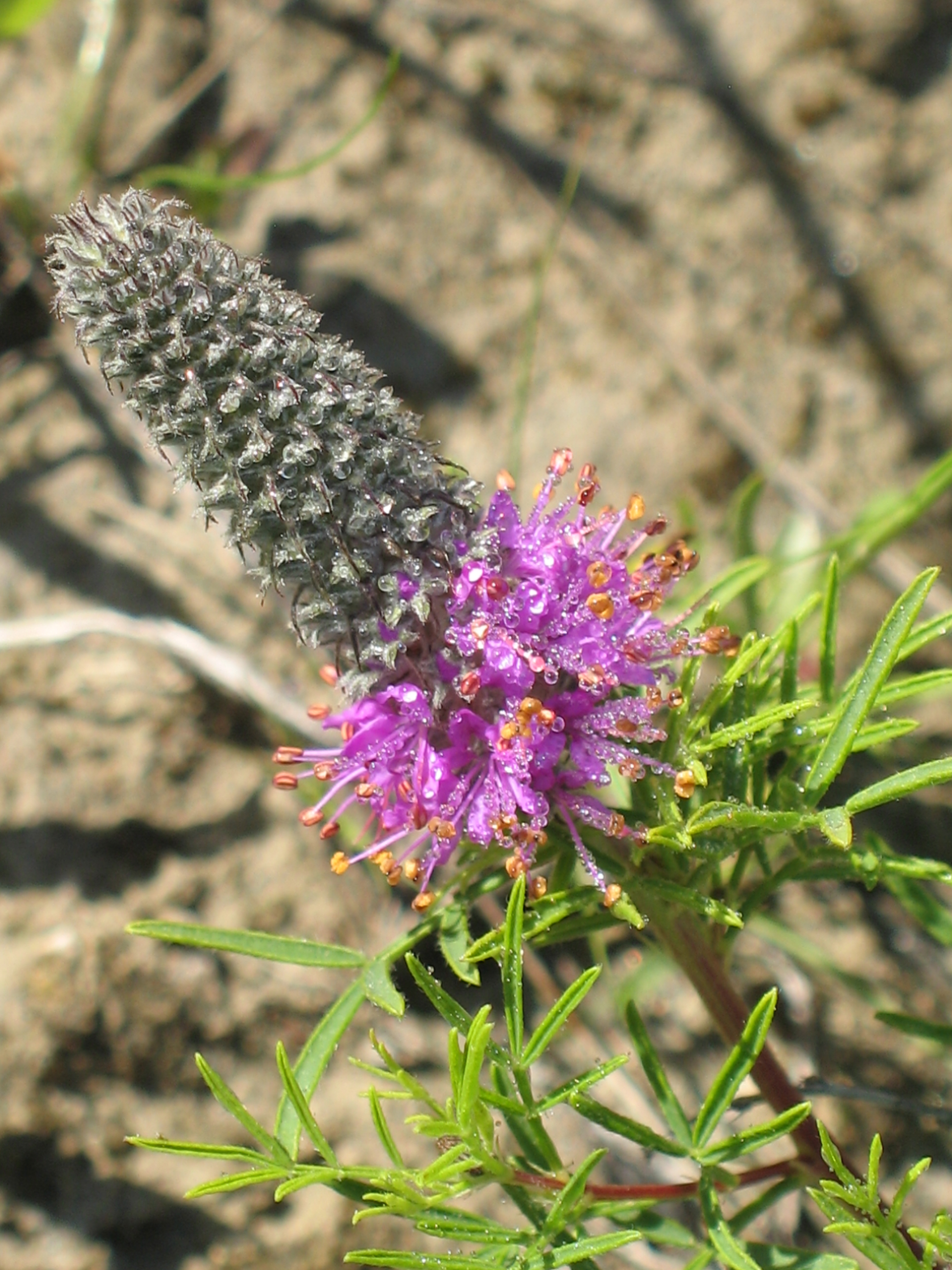
Gattinger’s Prairie Clover – Dalea gattingeri
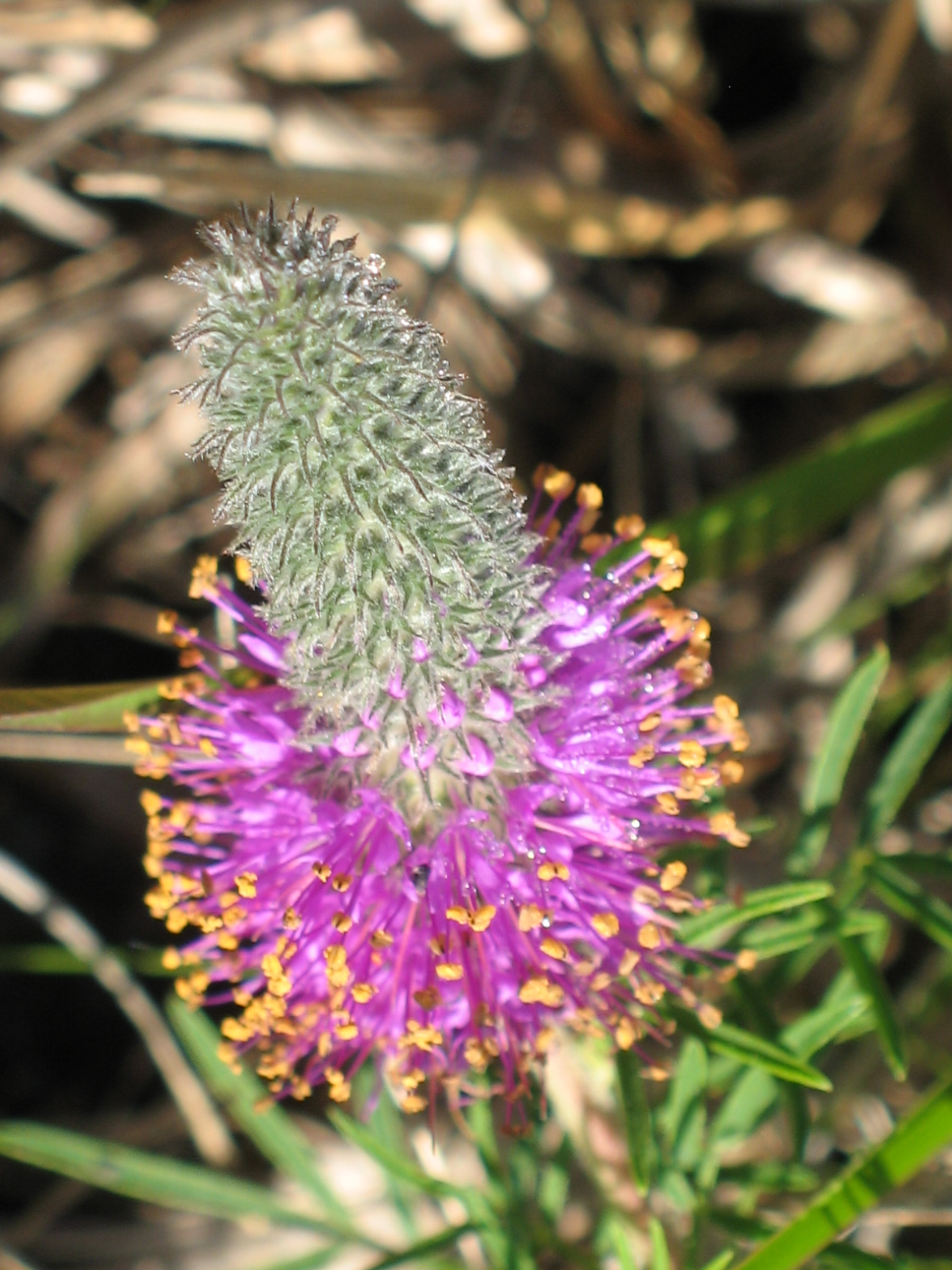
Gattinger’s Prairie Clover – Dalea gattingeri

Longjawed Orbweaver Spider, genus Tetragnatha
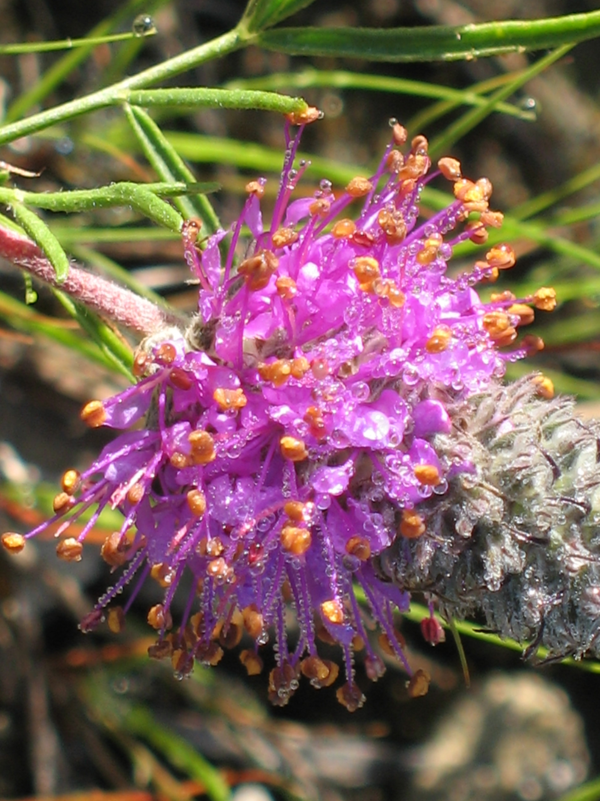
Gattinger’s Prairie Clover – Dalea gattingeri
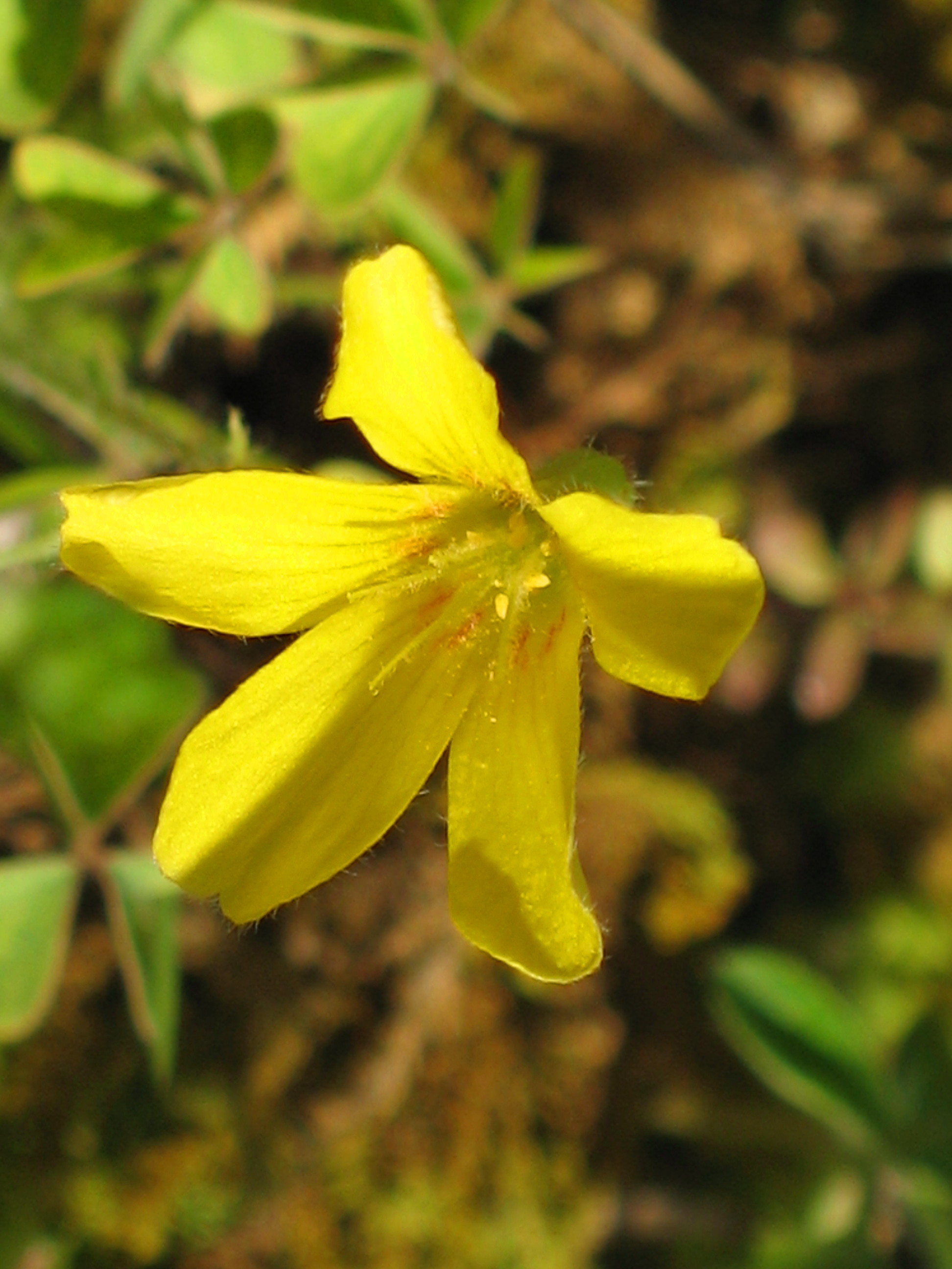
Price’s Wood Sorrell – Oxalis priceae

LaGrange College, view North from LaGrange Mountain
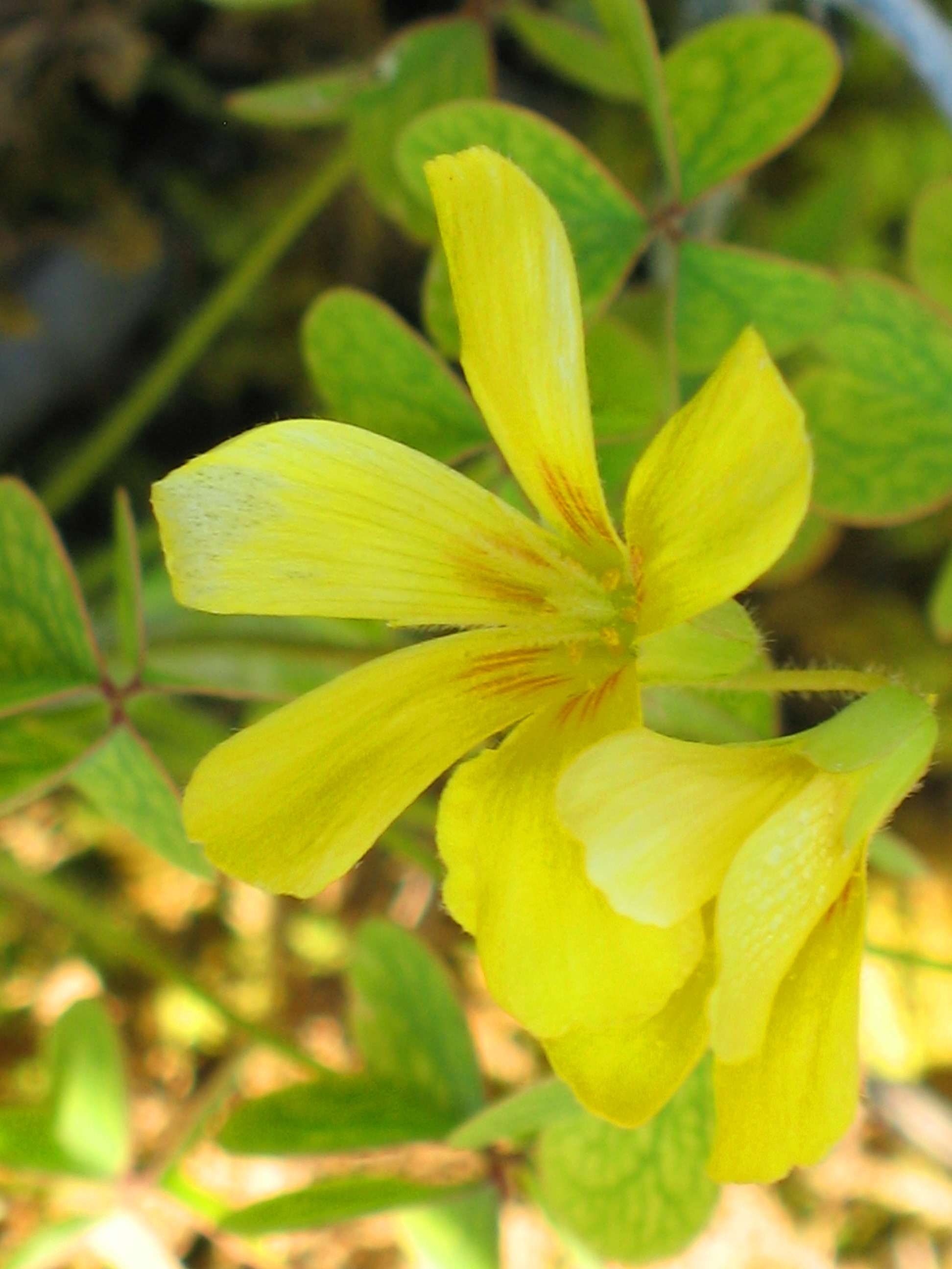
Price’s Wood Sorrell – Oxalis priceae
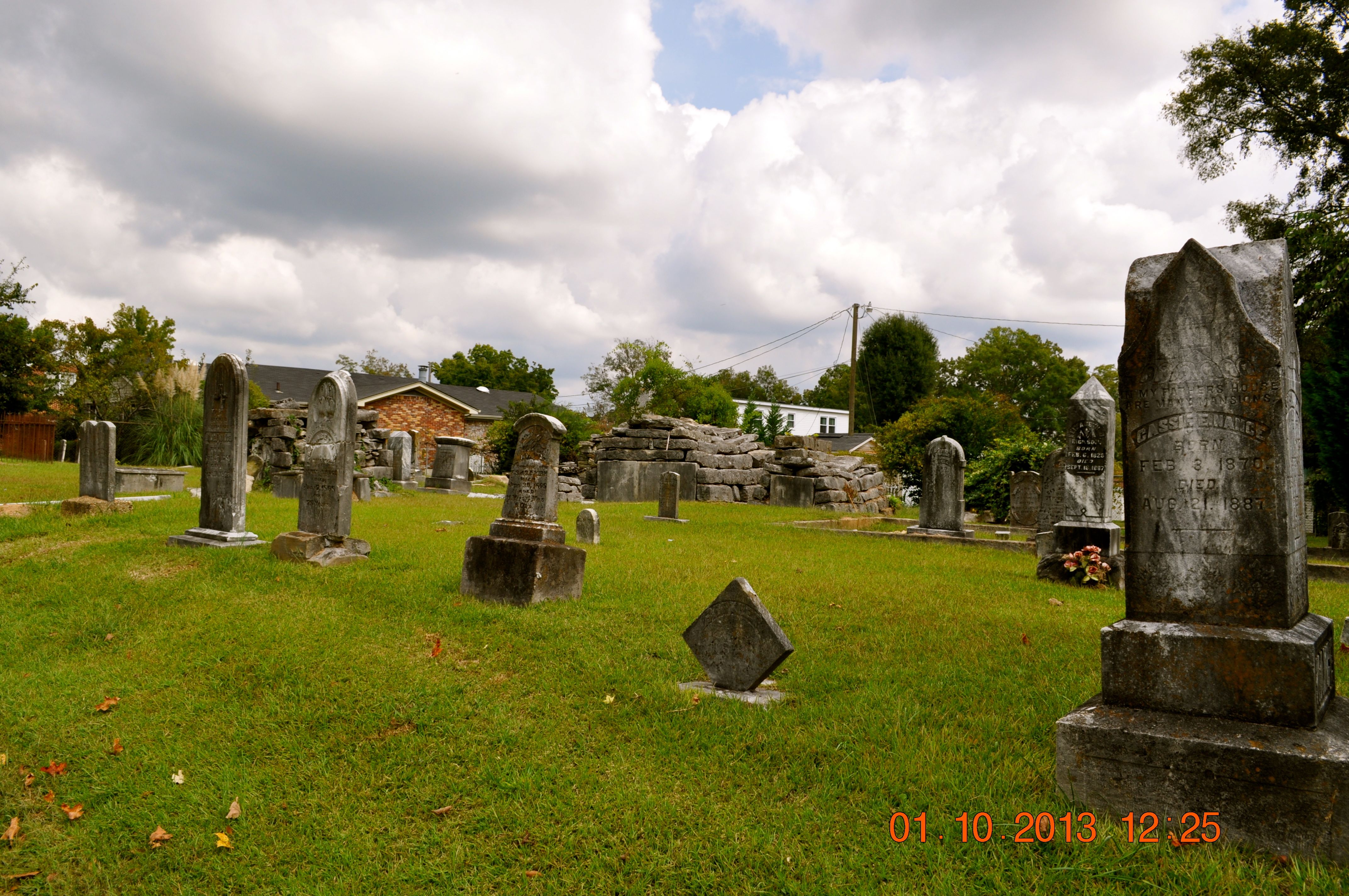
Sadler Cemetery 1832
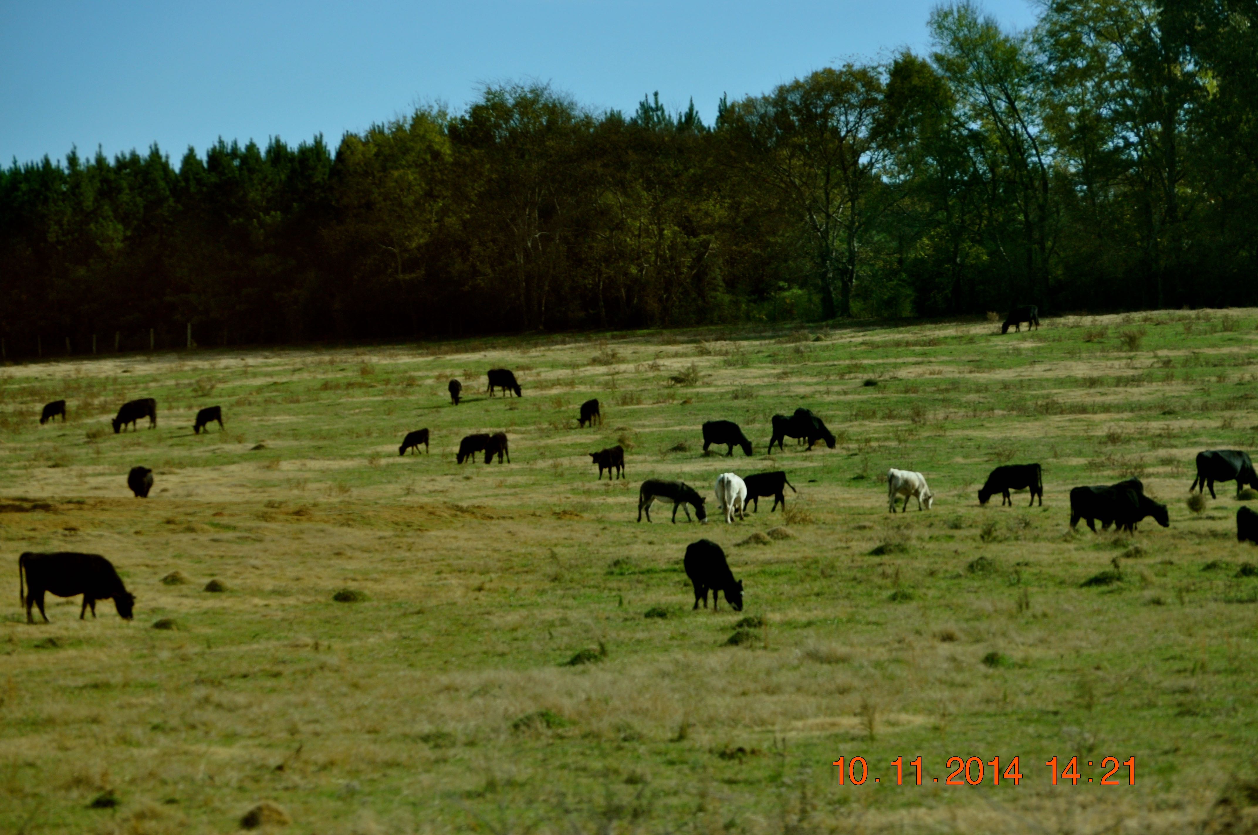
2014 November 10 Traveling Hwy 24 East toward Moulton Al
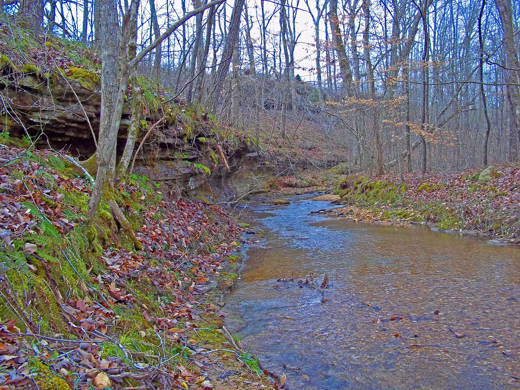
Cane Creek Nature Preserve
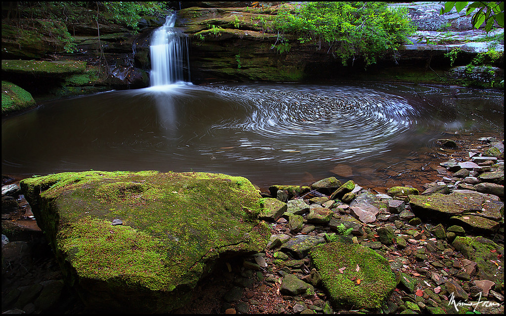
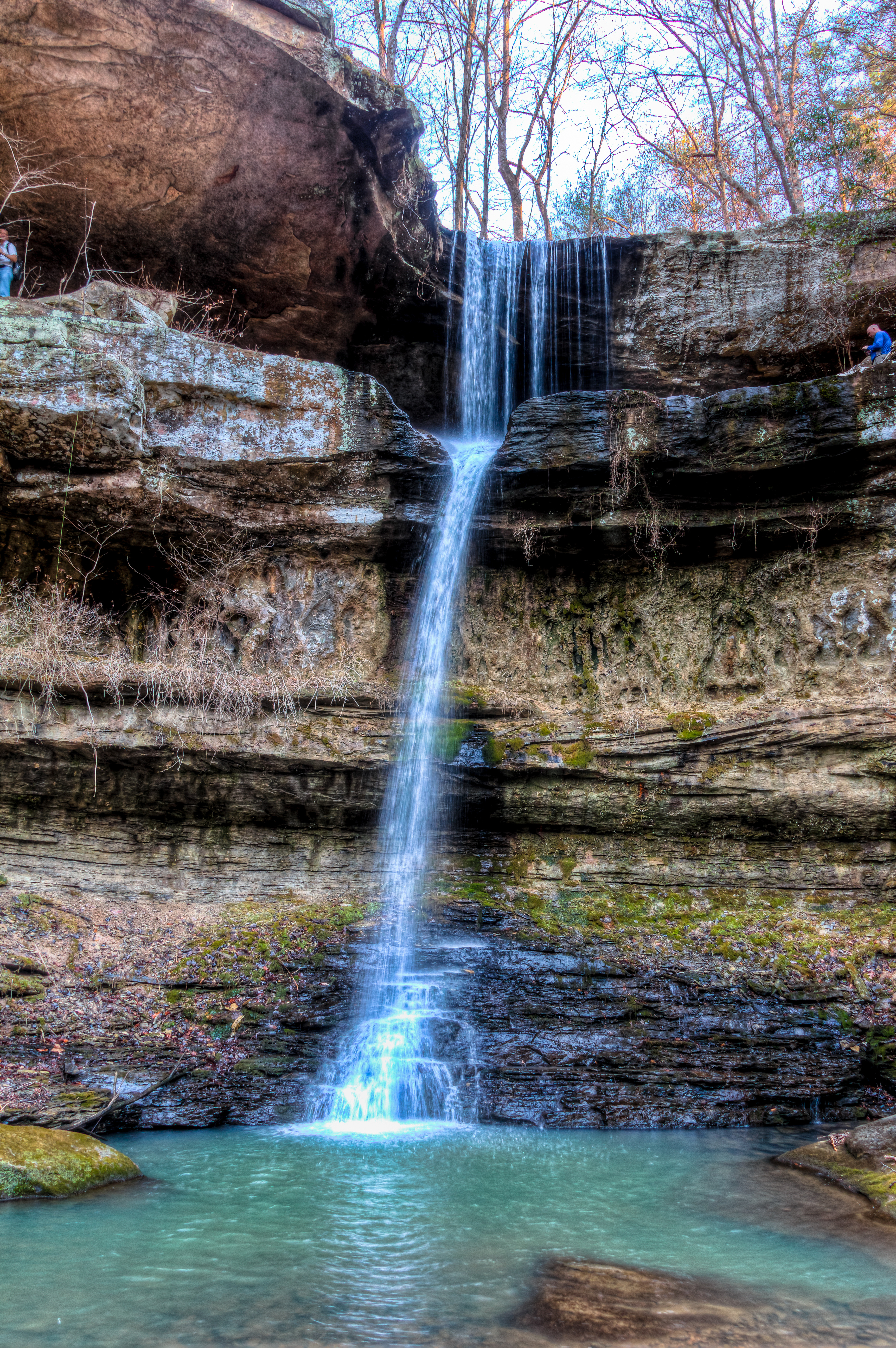
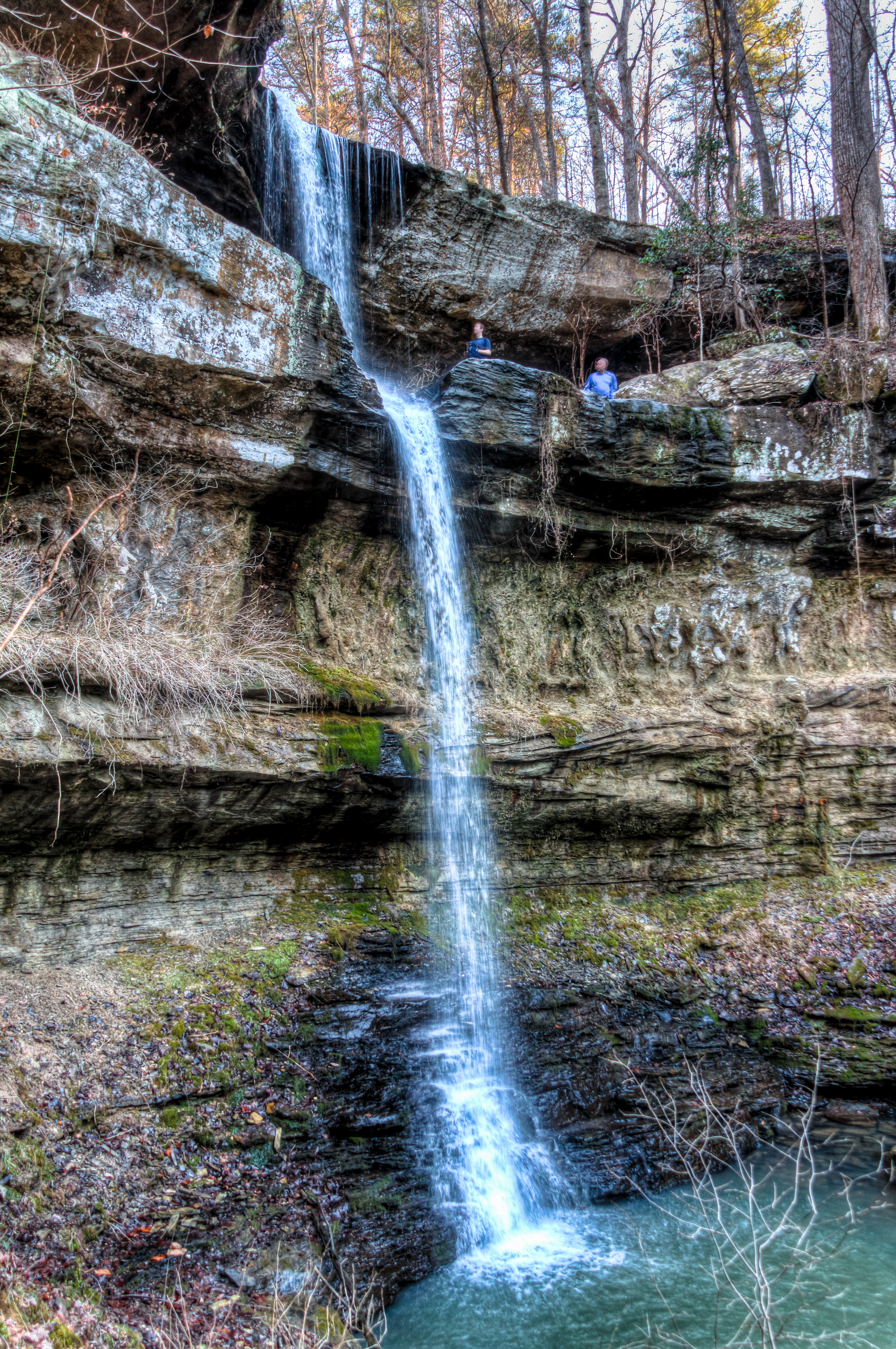
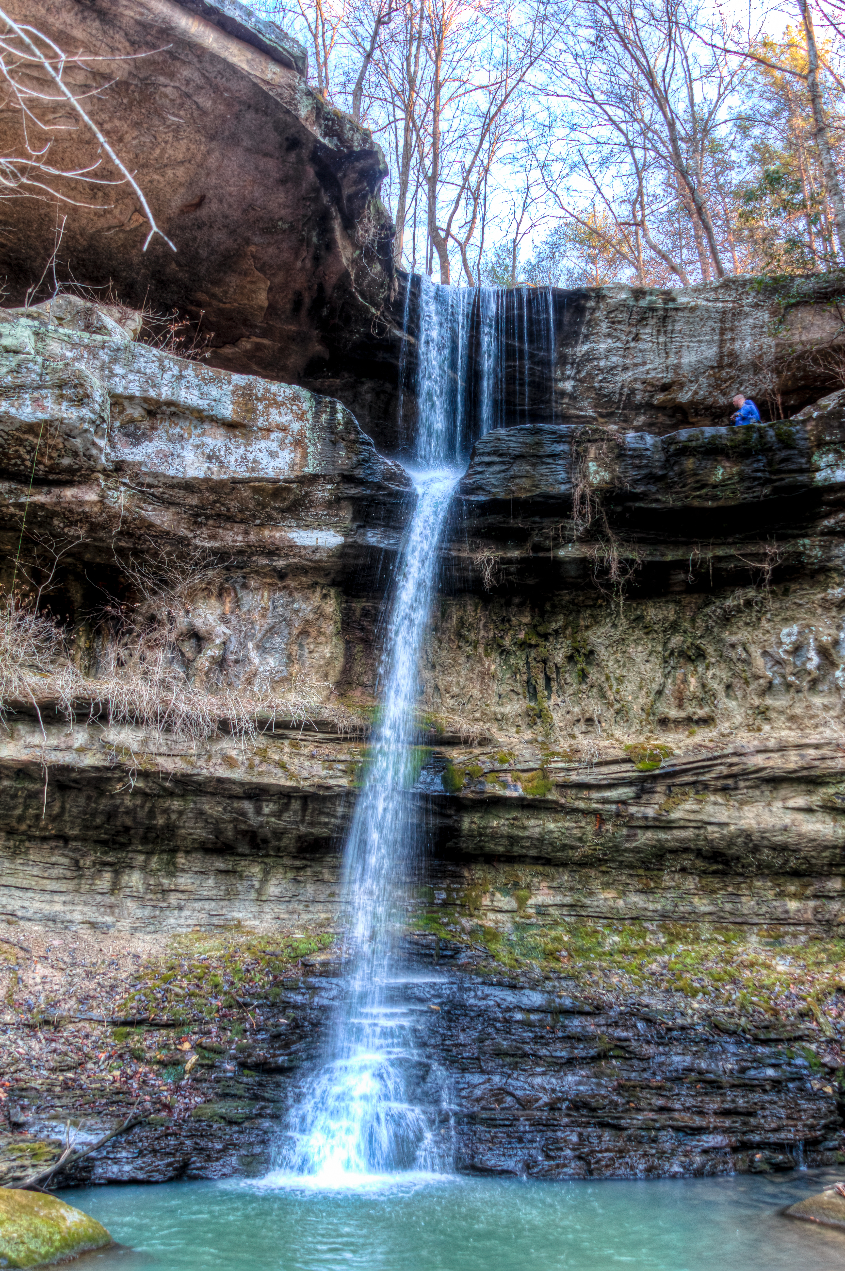
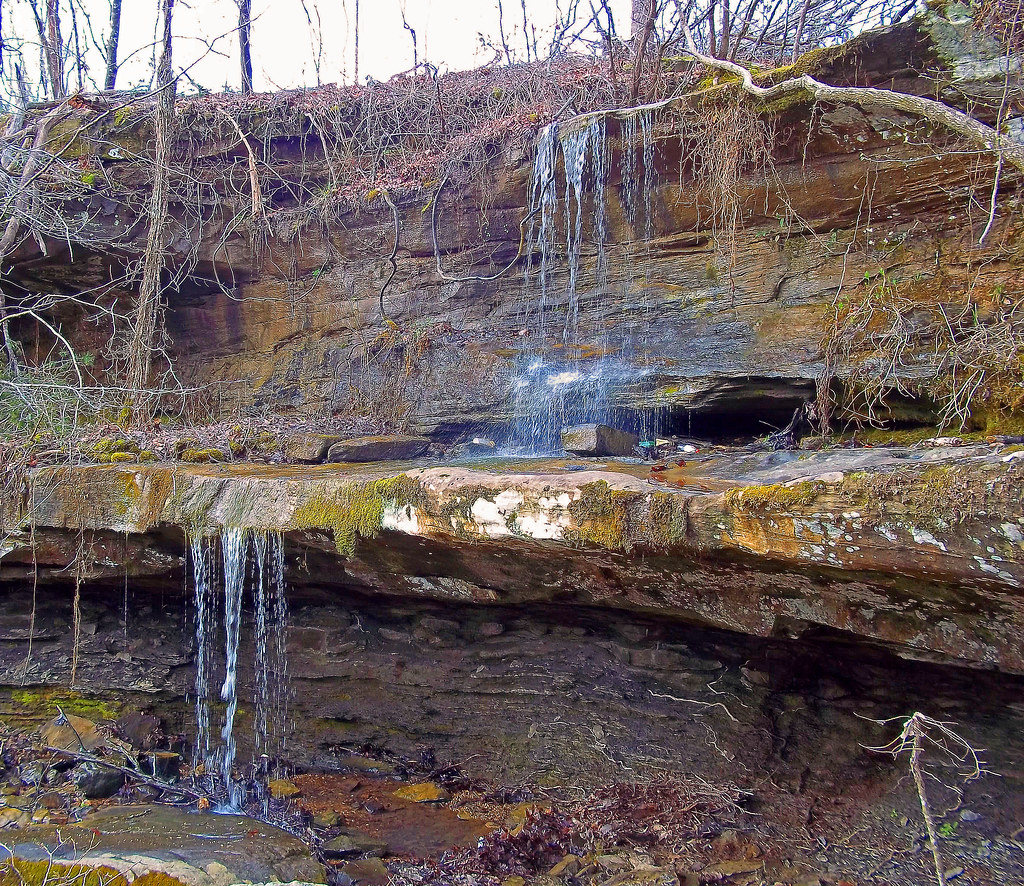
Lower Caney Creek Falls
Cane Creek Nature Preserve

2014 November 10 Traveling Hwy 24 East toward Moulton Al
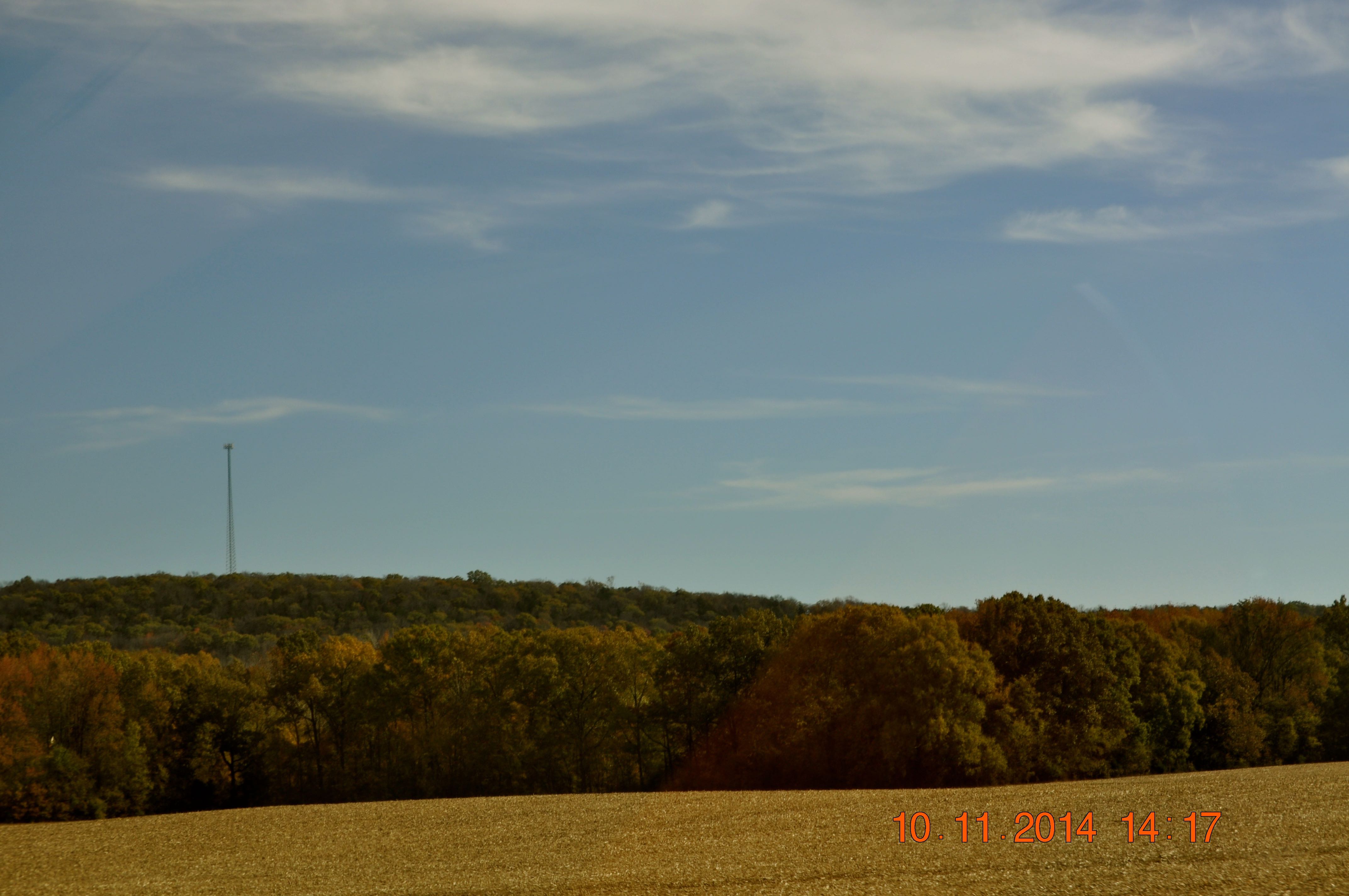
2014 November 10 Traveling Hwy 24 East toward Moulton Al

Under Crooked Oak
Cane Creek Nature Preserve
Cane Creek Nature Preserve
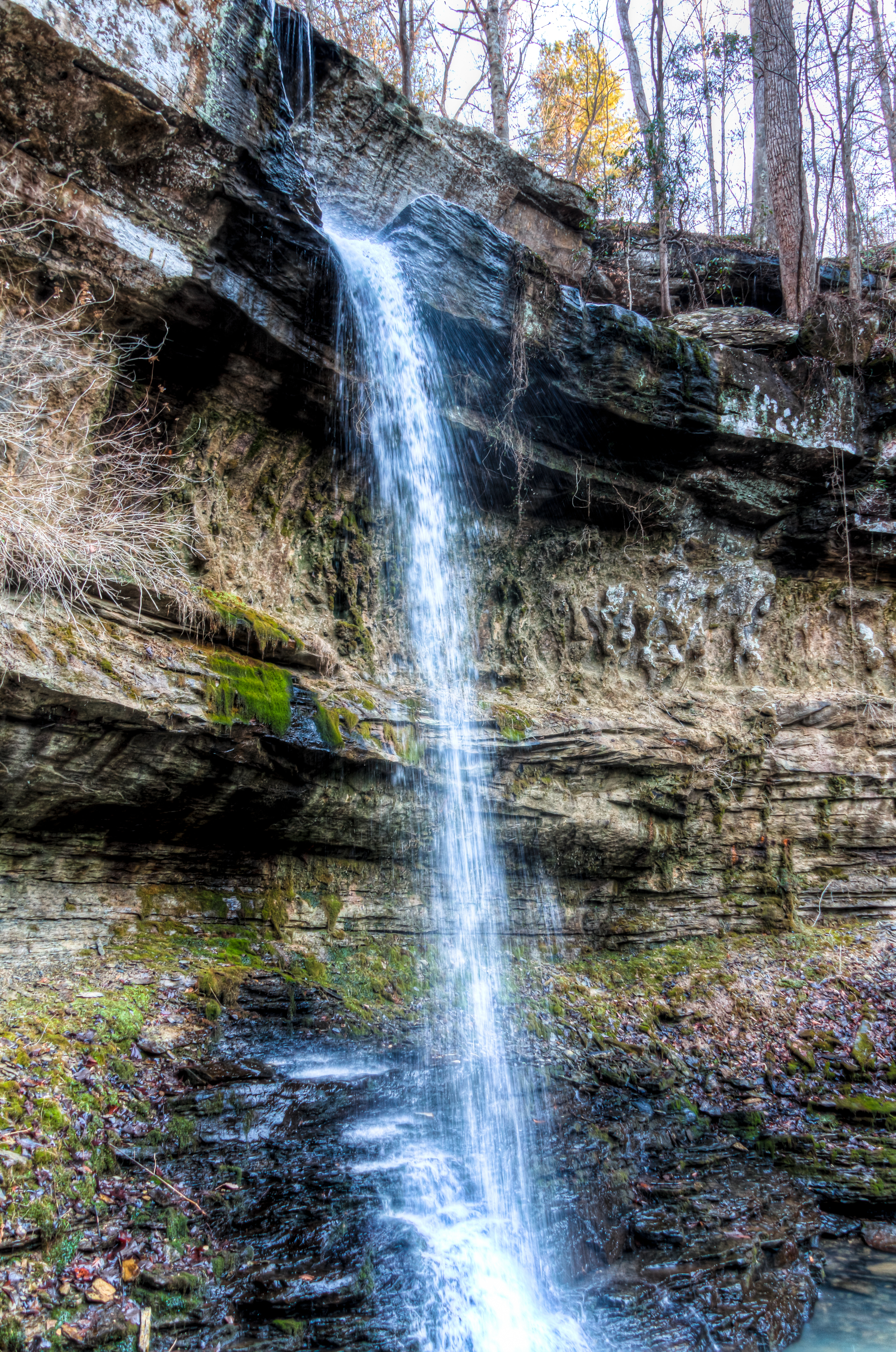
Cane Creek Nature Preserve
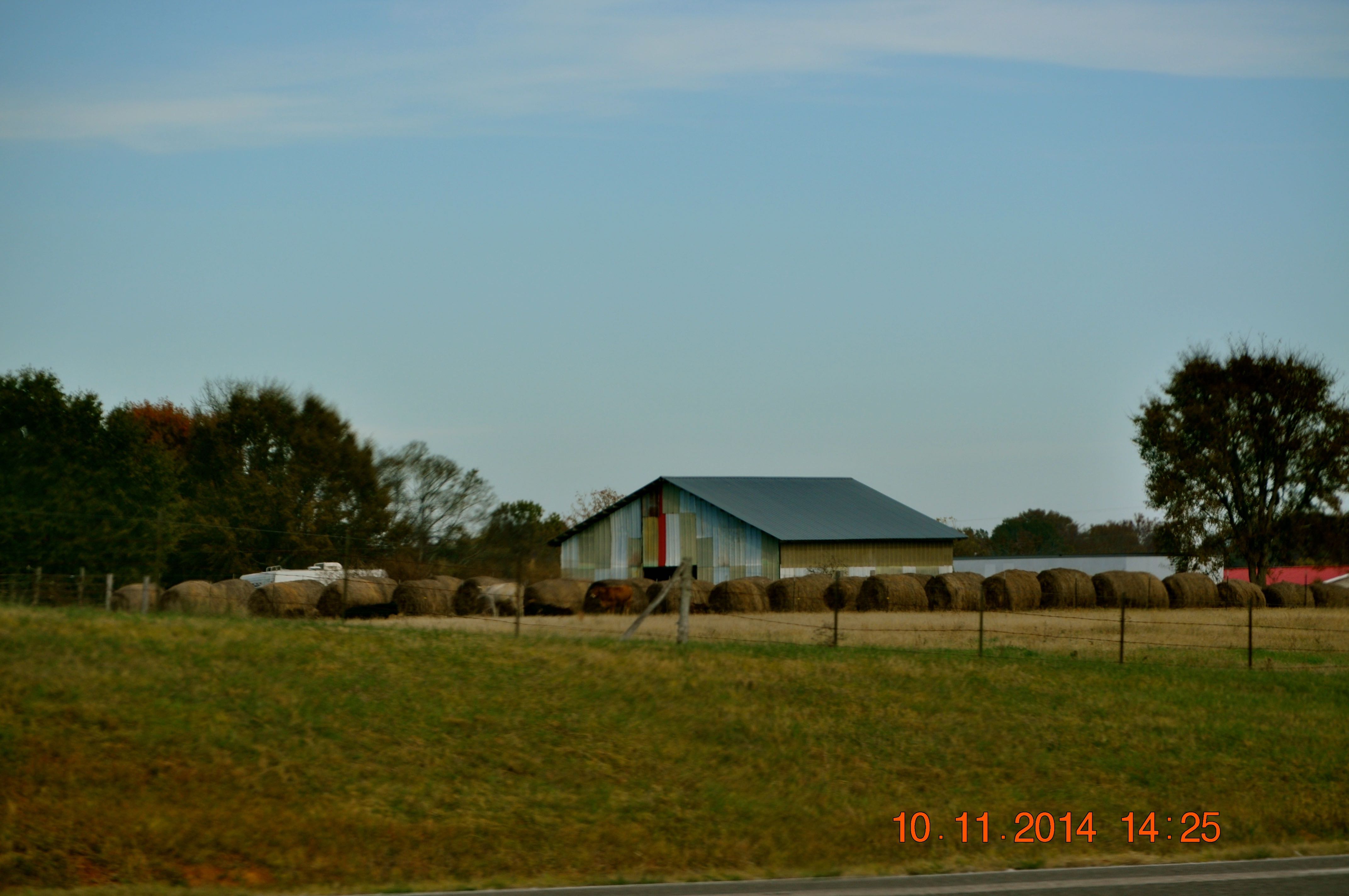
2014 November 10 Traveling Hwy 24 East toward Moulton Al
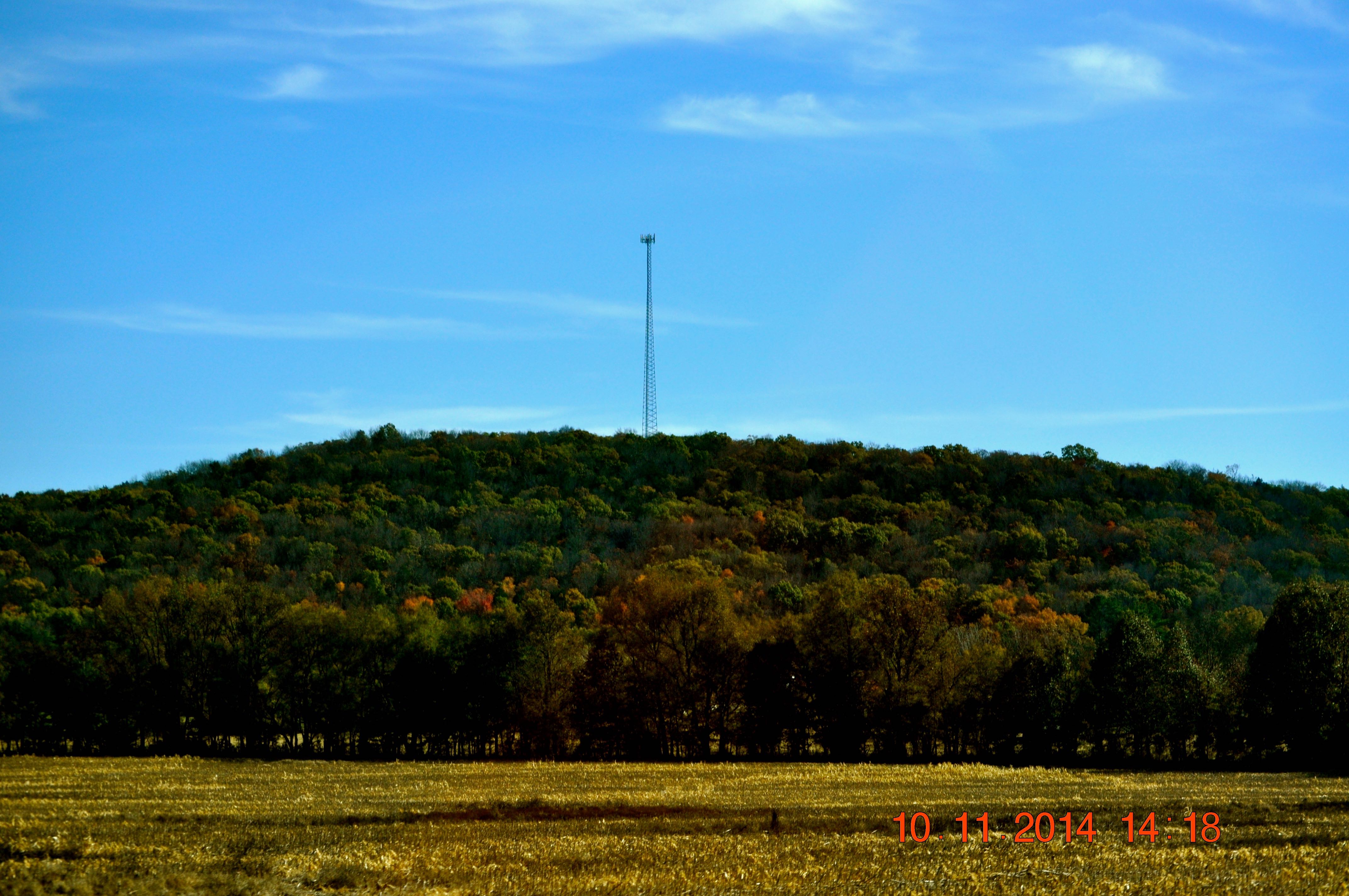
2014 November 10 Traveling Hwy 24 East toward Moulton Al
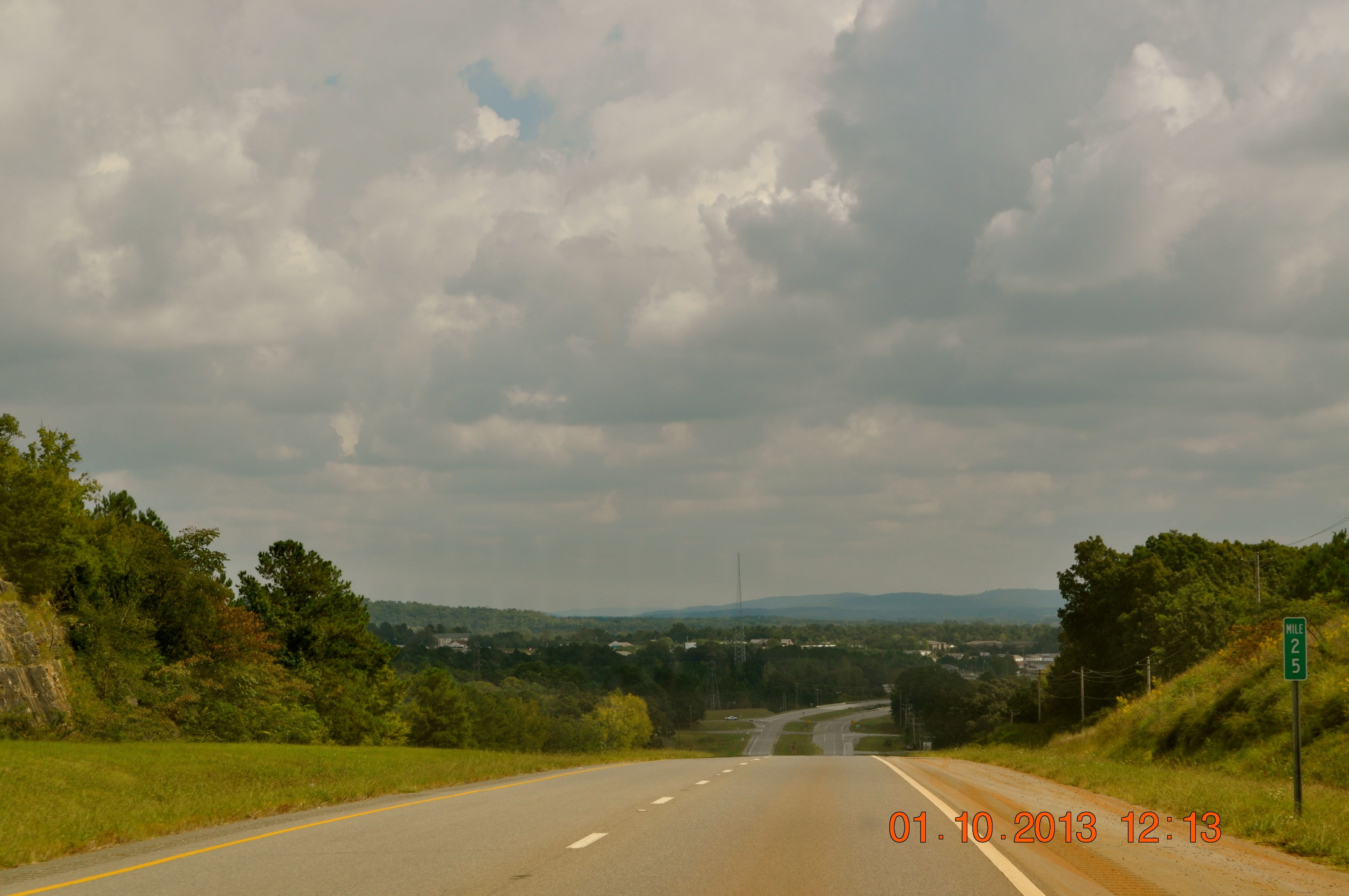
Hwy 24 East heading toward Russellville
Cane Creek Nature Preserve
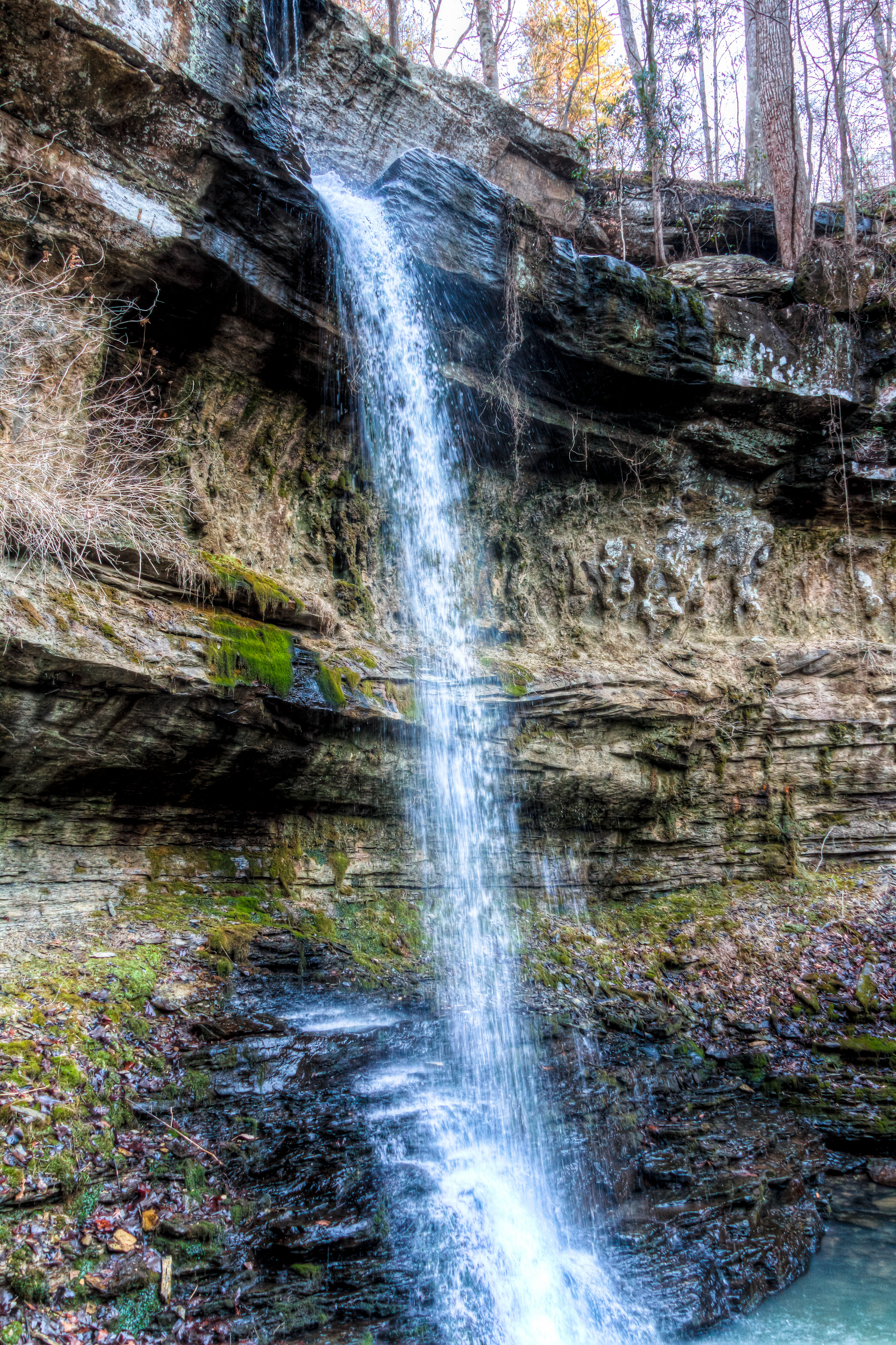
Branch@Crooked Oak
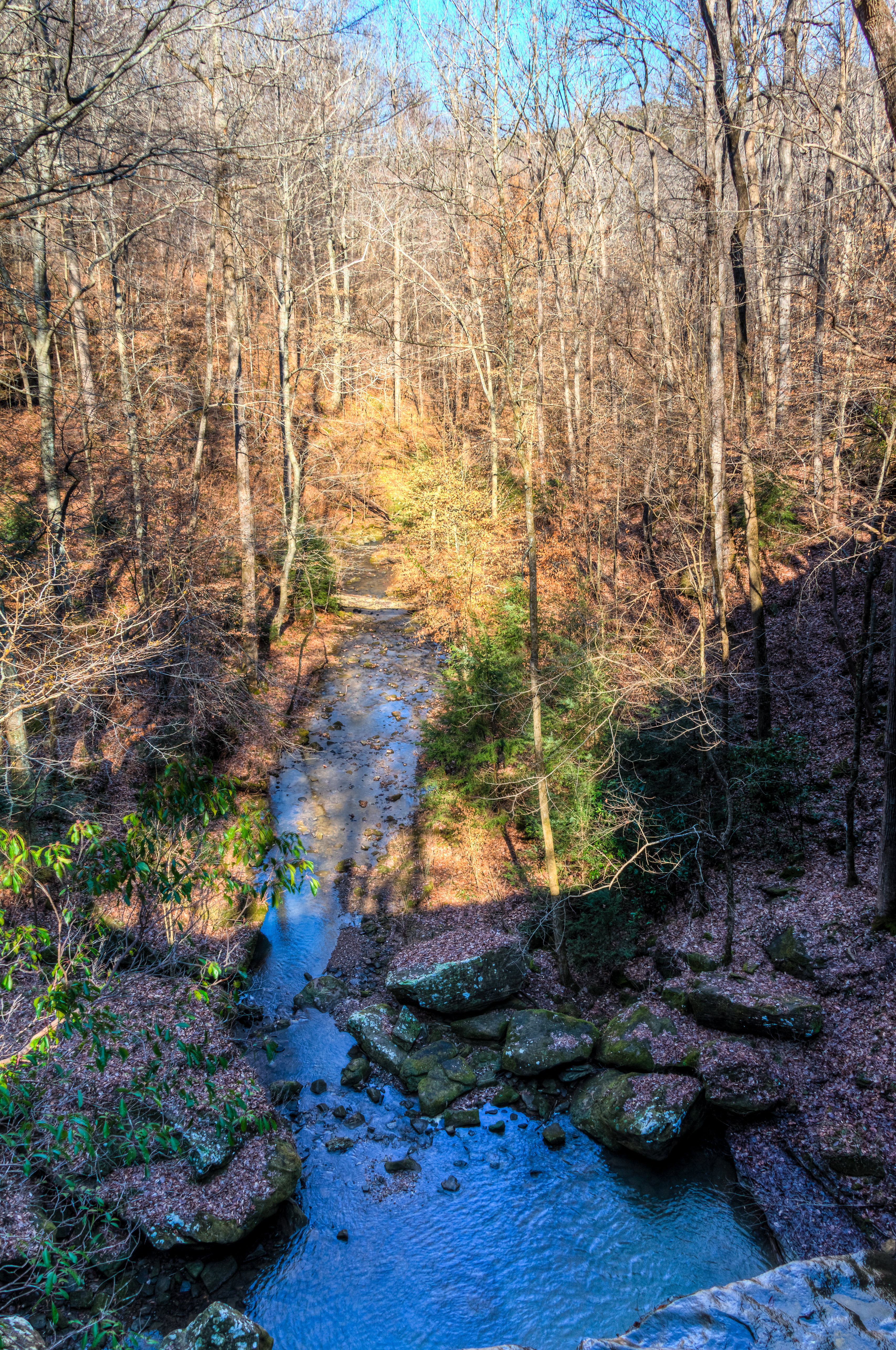
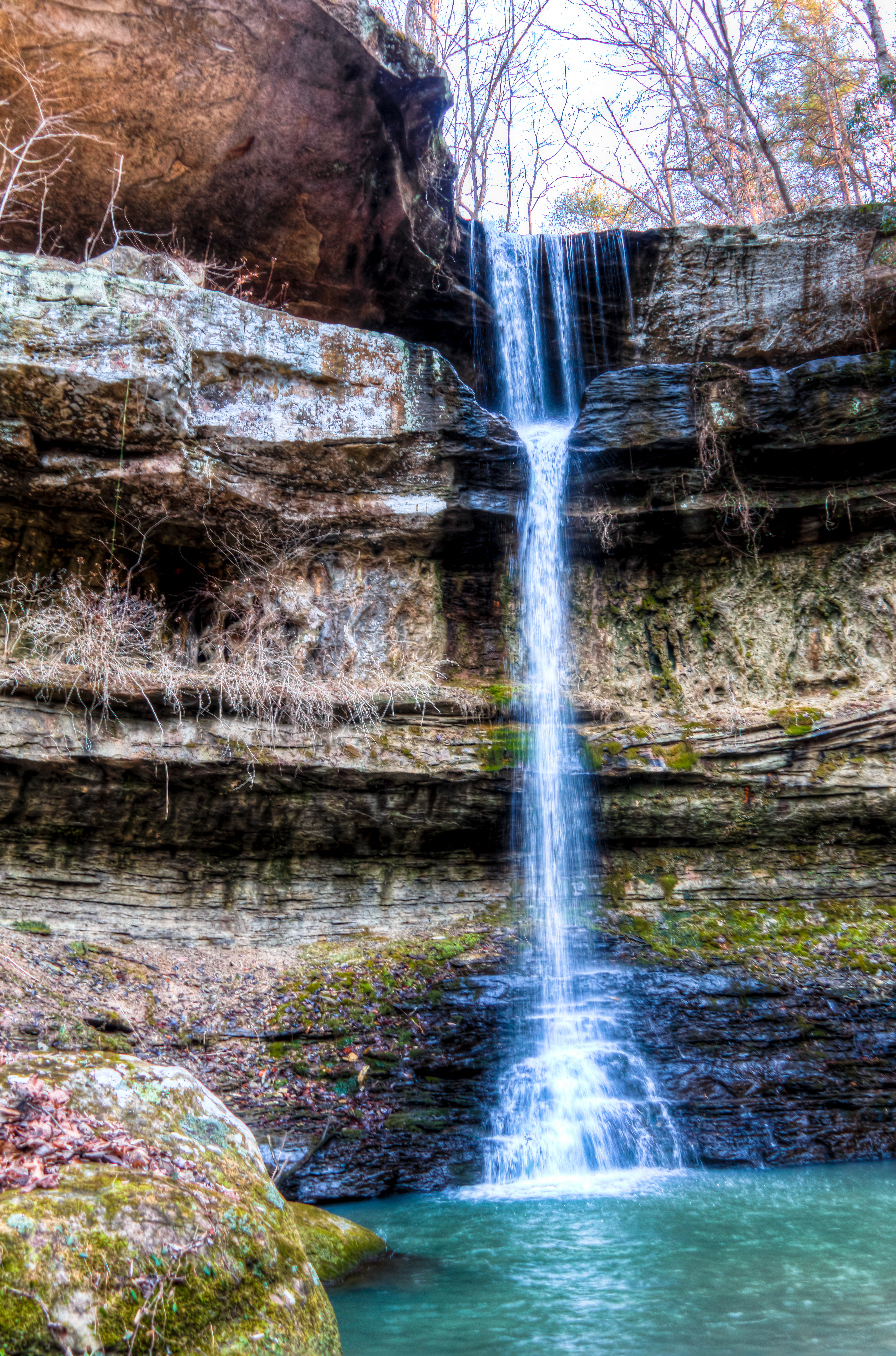
Cane Creek Canyon Nature Preserve
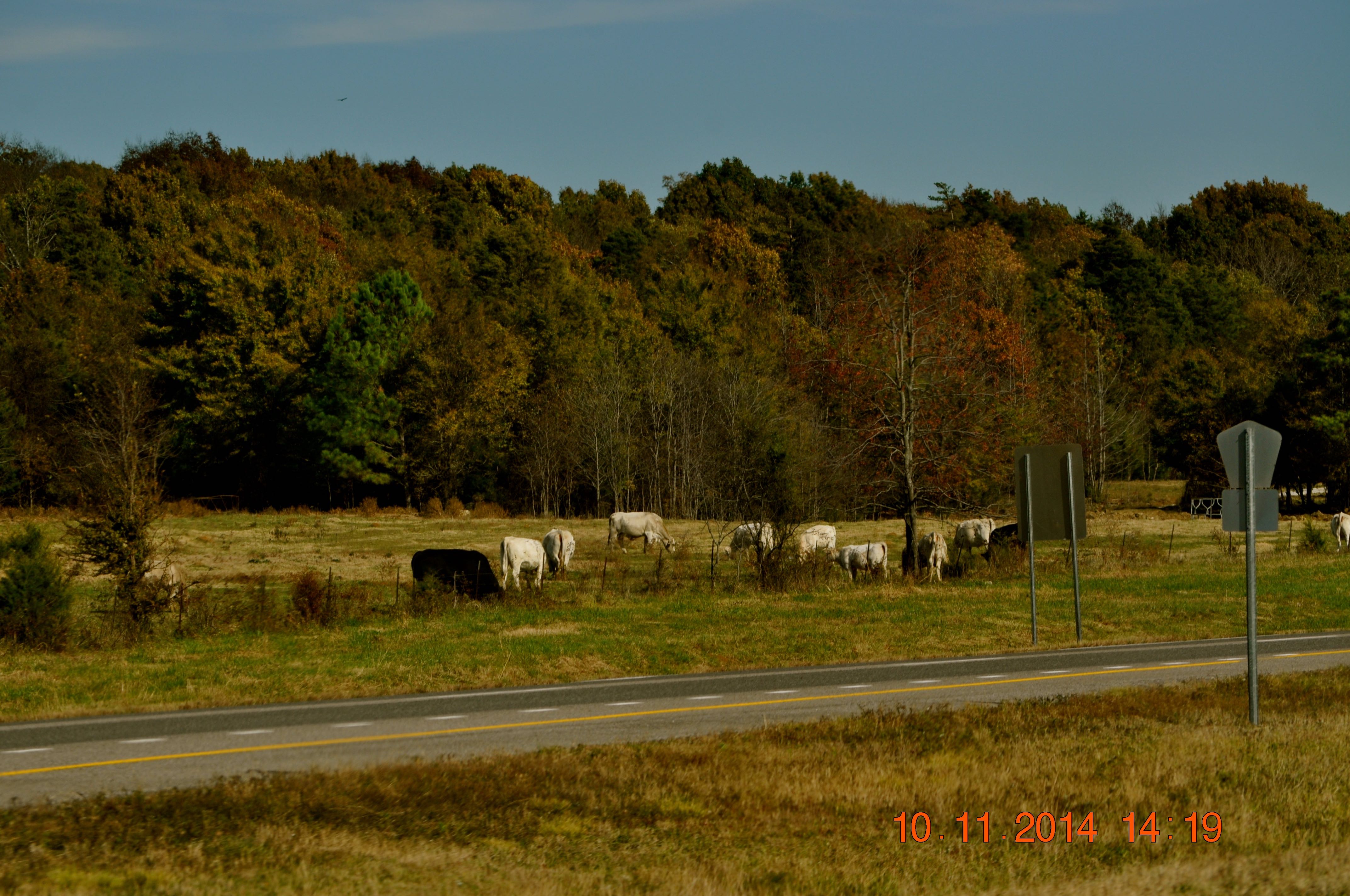
2014 November 10 Traveling Hwy 24 East toward Moulton Al
Unknown.Crooked Oak
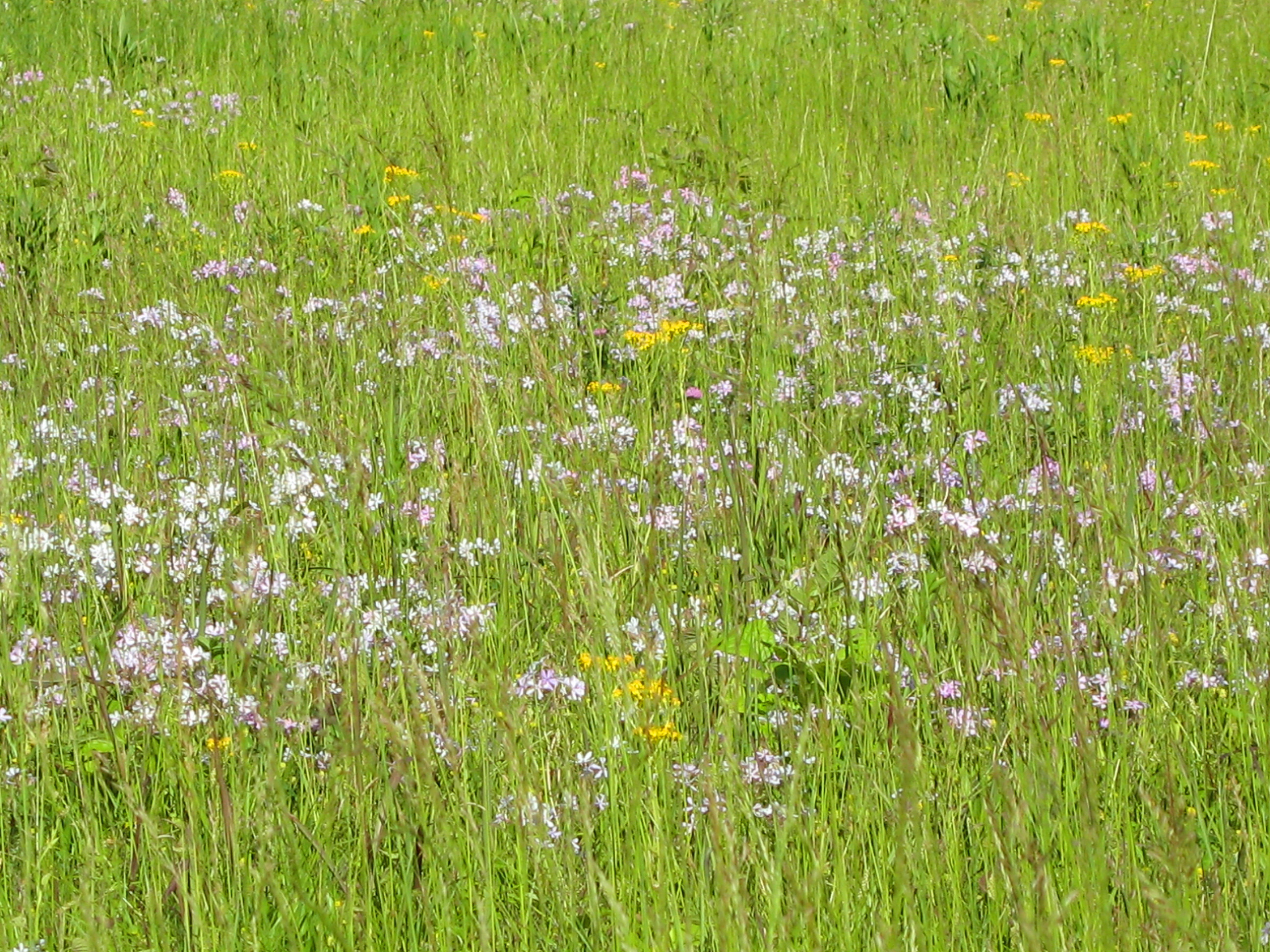
Downy Phlox – Phlox pilosa
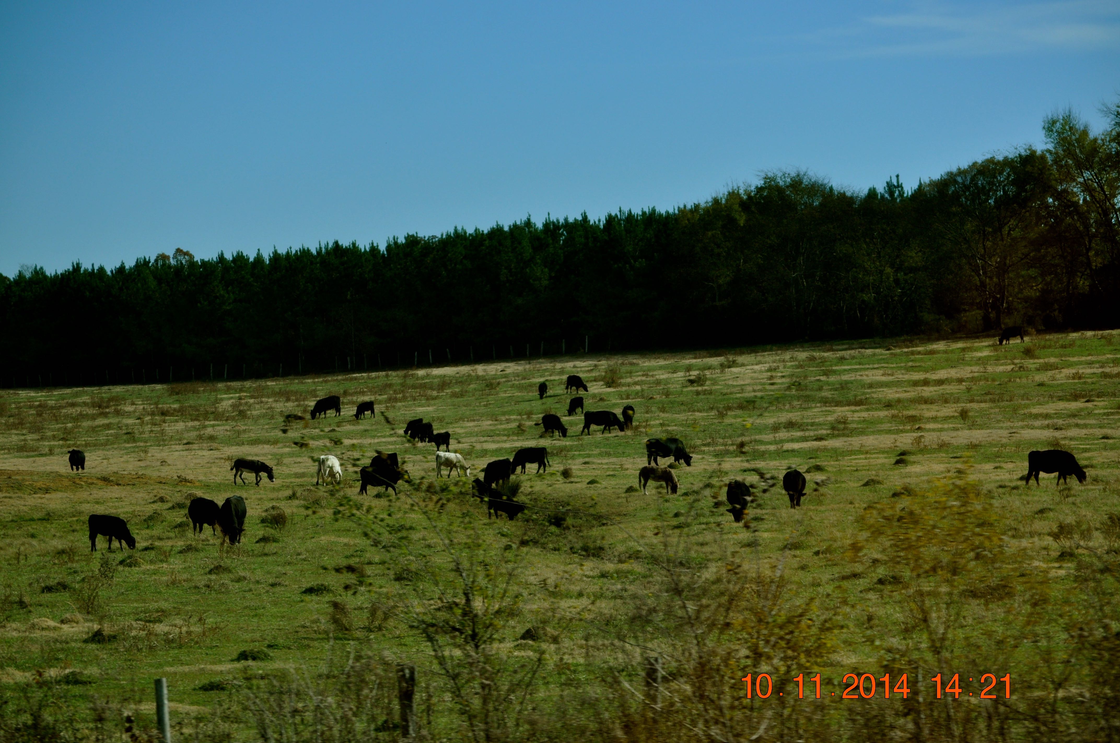
2014 November 10 Traveling Hwy 24 East toward Moulton Al
Topographic Map of Mountain Star Rd, Russellville, AL, USA
Find elevation by address:

Places near Mountain Star Rd, Russellville, AL, USA:
1287 County Rd 177
County Rd 48, Russellville, AL, USA
Littleville
407 Tim St
407 Tim St
Russellville
512 W Madison St
195 Wayne Dr
Polk St, Russellville, AL, USA
1350 Lime Rock Rd
810 Little Egypt Rd
Little Egypt Road
Little Egypt Rd, Tuscumbia, AL, USA
Co Rd 55, Tuscumbia, AL, USA
US-43, Russellville, AL, USA
Colbert Heights High School
427 Kattie Ln
AL-, Phil Campbell, AL, USA
Milk Springs Rd, Tuscumbia, AL, USA
Franklin County
Recent Searches:
- Elevation of Corso Fratelli Cairoli, 35, Macerata MC, Italy
- Elevation of Tallevast Rd, Sarasota, FL, USA
- Elevation of 4th St E, Sonoma, CA, USA
- Elevation of Black Hollow Rd, Pennsdale, PA, USA
- Elevation of Oakland Ave, Williamsport, PA, USA
- Elevation of Pedrógão Grande, Portugal
- Elevation of Klee Dr, Martinsburg, WV, USA
- Elevation of Via Roma, Pieranica CR, Italy
- Elevation of Tavkvetili Mountain, Georgia
- Elevation of Hartfords Bluff Cir, Mt Pleasant, SC, USA