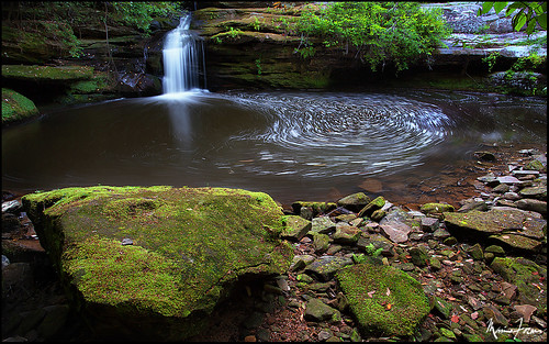
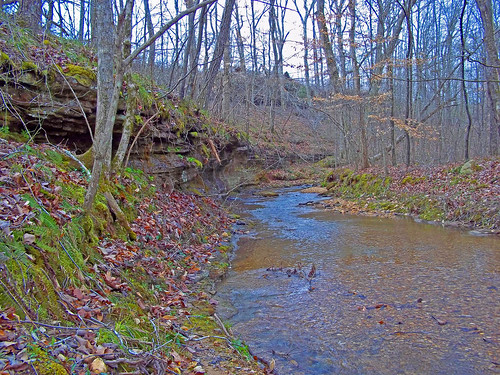
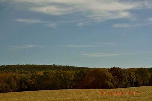
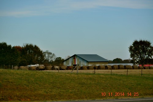
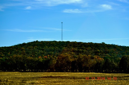
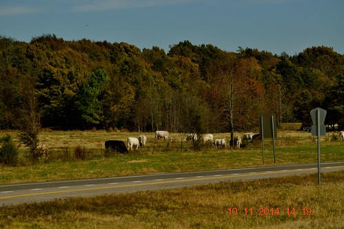
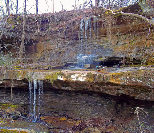
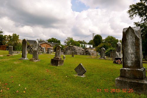
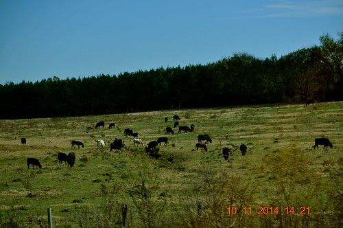
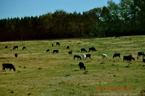
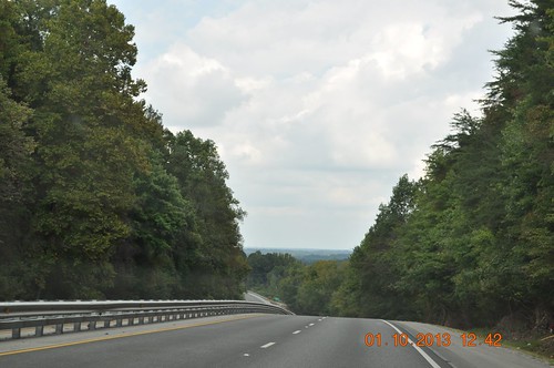
Elevation of County Rd 48, Russellville, AL, USA
Location: United States > Alabama > Franklin County > Russellville >
Longitude: -87.689747
Latitude: 34.5055519
Elevation: 265m / 869feet
Barometric Pressure: 98KPa
Related Photos:
Topographic Map of County Rd 48, Russellville, AL, USA
Find elevation by address:

Places near County Rd 48, Russellville, AL, USA:
Russellville
407 Tim St
407 Tim St
512 W Madison St
Mountain Star Rd, Russellville, AL, USA
Polk St, Russellville, AL, USA
1287 County Rd 177
US-43, Russellville, AL, USA
Littleville
AL-, Phil Campbell, AL, USA
1350 Lime Rock Rd
Little Egypt Rd, Tuscumbia, AL, USA
810 Little Egypt Rd
Spruce Pine
Little Egypt Road
County Rd 22, Spruce Pine, AL, USA
6847 Us-43
195 Wayne Dr
Franklin County
Co Rd 55, Tuscumbia, AL, USA
Recent Searches:
- Elevation of Corso Fratelli Cairoli, 35, Macerata MC, Italy
- Elevation of Tallevast Rd, Sarasota, FL, USA
- Elevation of 4th St E, Sonoma, CA, USA
- Elevation of Black Hollow Rd, Pennsdale, PA, USA
- Elevation of Oakland Ave, Williamsport, PA, USA
- Elevation of Pedrógão Grande, Portugal
- Elevation of Klee Dr, Martinsburg, WV, USA
- Elevation of Via Roma, Pieranica CR, Italy
- Elevation of Tavkvetili Mountain, Georgia
- Elevation of Hartfords Bluff Cir, Mt Pleasant, SC, USA
