Elevation of Forest Camp, Khulna - Mongla Hwy, Bangladesh
| Latitude | 22.3697911 |
|---|---|
| Longitude | 89.6154571 |
| Elevation | 7m / 23feet |
| Barometric Pressure | 1012KPa |
Related Photos:
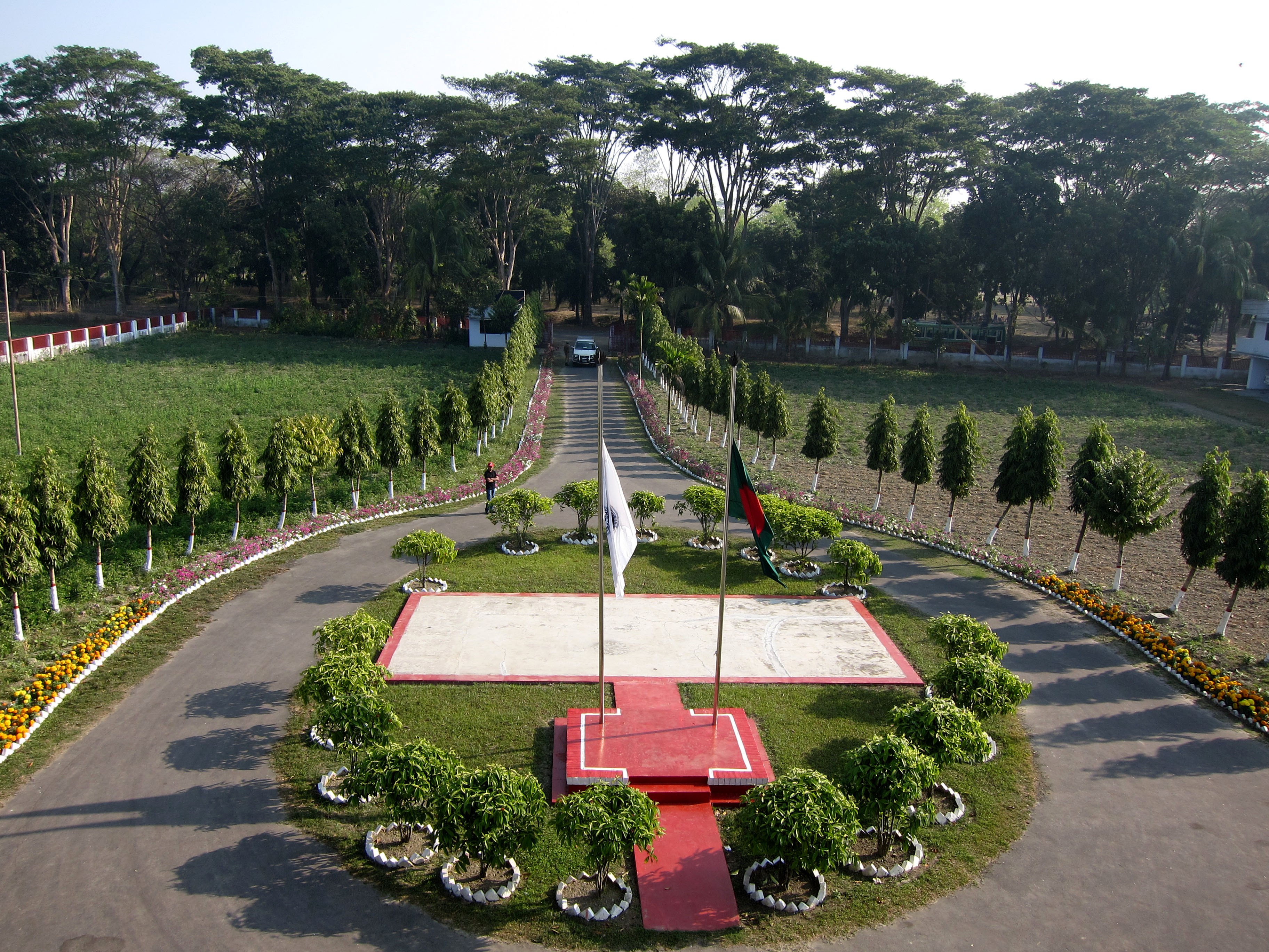
View of Parijat Guest house, Mongla

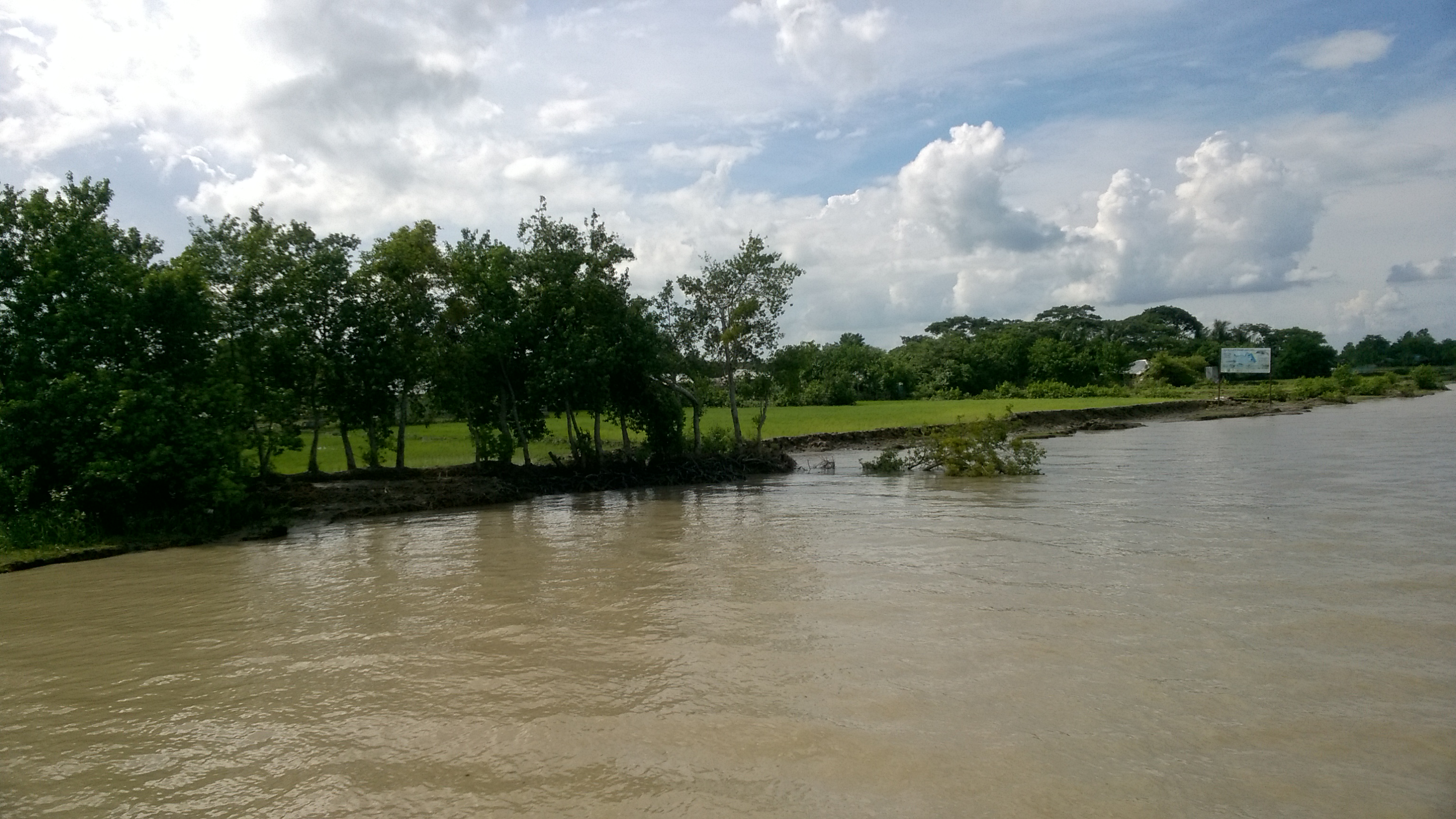
Fishing Alone on River - Sundarbans, Bangladesh

Bangladesh 2015

Bangladesh 2015

Bangladesh 2015

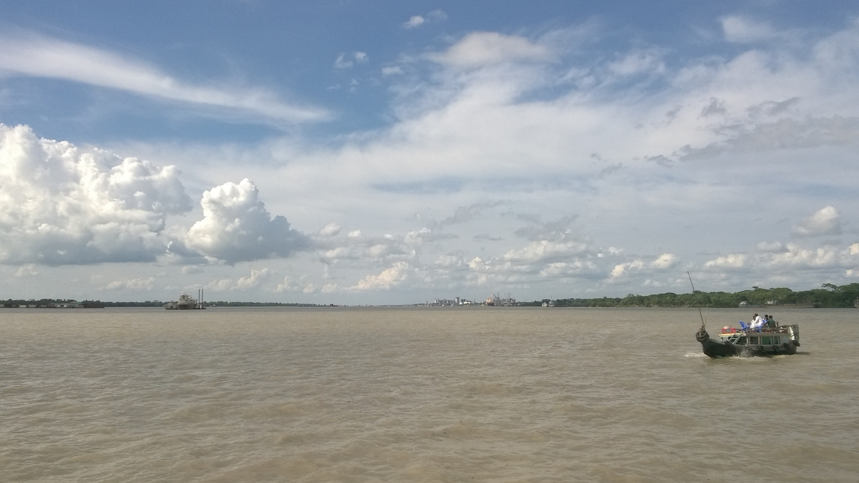
Near Sundarban (3)
Near Sundarban
Sundarban (3)
Way to সুন্দরবন
Sundarban Trip 2016
Topographic Map of Forest Camp, Khulna - Mongla Hwy, Bangladesh
Find elevation by address:
Places near Forest Camp, Khulna - Mongla Hwy, Bangladesh:
Dacope Upazila
Mongla
Satkhira District
Sundarbans
Shyamnagar Upazila
Unnamed Road
Daudpur
Chunakhali-caning Road
Bugulakhali
Chunakhali-caning Road
Phul Malancha
Recent Searches:
- Elevation map of Central Hungary, Hungary
- Elevation map of Pest, Central Hungary, Hungary
- Elevation of Pilisszentkereszt, Pest, Central Hungary, Hungary
- Elevation of Dharamkot Tahsil, Punjab, India
- Elevation of Bhinder Khurd, Dharamkot Tahsil, Punjab, India
- Elevation of 2881, Chabot Drive, San Bruno, San Mateo County, California, 94066, USA
- Elevation of 10370, West 107th Circle, Westminster, Jefferson County, Colorado, 80021, USA
- Elevation of 611, Roman Road, Old Ford, Bow, London, England, E3 2RW, United Kingdom
- Elevation of 116, Beartown Road, Underhill, Chittenden County, Vermont, 05489, USA
- Elevation of Window Rock, Colfax County, New Mexico, 87714, USA
- Elevation of 4807, Rosecroft Street, Kempsville Gardens, Virginia Beach, Virginia, 23464, USA
- Elevation map of Matawinie, Quebec, Canada
- Elevation of Sainte-Émélie-de-l'Énergie, Matawinie, Quebec, Canada
- Elevation of Rue du Pont, Sainte-Émélie-de-l'Énergie, Matawinie, Quebec, J0K2K0, Canada
- Elevation of 8, Rue de Bécancour, Blainville, Thérèse-De Blainville, Quebec, J7B1N2, Canada
- Elevation of Wilmot Court North, 163, University Avenue West, Northdale, Waterloo, Region of Waterloo, Ontario, N2L6B6, Canada
- Elevation map of Panamá Province, Panama
- Elevation of Balboa, Panamá Province, Panama
- Elevation of San Miguel, Balboa, Panamá Province, Panama
- Elevation of Isla Gibraleón, San Miguel, Balboa, Panamá Province, Panama