Elevation of Phul Malancha, West Bengal, India
Location: India > West Bengal > South 24 Parganas >
Longitude: 88.7445888
Latitude: 22.2991435
Elevation: 6m / 20feet
Barometric Pressure: 101KPa
Elevation Map:
Satellite Map:
Related Photos:

Bidyadhari River

pâtisserie in Gosaba
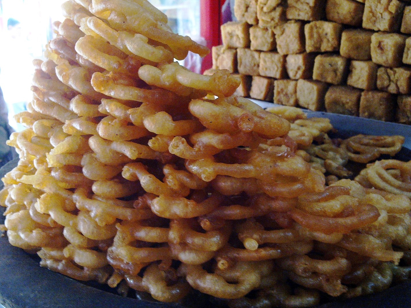
pâtisserie in Gosaba
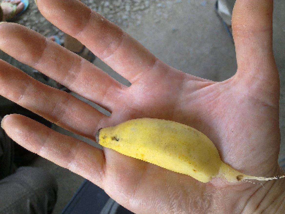
the smallest banana
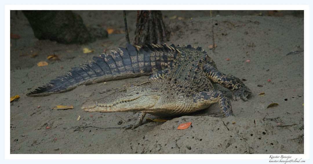
"Crocy on the move!" Date: August 2014 #travelling #scenes #photography #adventure #awesomecaptures #beautiful #colours #forests #India #instahub #instapic #instagood #instagram #moments #mangroves #mangroveforest #crocodile #reptile #coldblooded #river
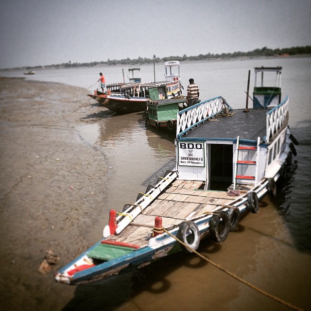
Of aqueous administrators... #sunderbans #mangrove #delta #bengal #travel #boat #people
Waiting For It's Master
A Struggleful Life
Fisher Kids
Yatrir Apekkhay (Waiting For Passengers)
Reflections of Life.
Bull Race

M V Sarbajaya

M V Sarbajaya

Gomor river Sonakhali

Gomor river Sonakhali

Sonakhali jetty

PIED KINGFISHER !

On the bridge.

The Loaded Vessel
Topographic Map of Phul Malancha, West Bengal, India
Find elevation by address:

Places in Phul Malancha, West Bengal, India:
Places near Phul Malancha, West Bengal, India:
Chunakhali-caning Road
Chunakhali-caning Road
Bugulakhali
Daudpur
Unnamed Road
Satkhira District
Shyamnagar Upazila
Sundarbans
Dacope Upazila
Forest Camp
Mongla
Recent Searches:
- Elevation of Corso Fratelli Cairoli, 35, Macerata MC, Italy
- Elevation of Tallevast Rd, Sarasota, FL, USA
- Elevation of 4th St E, Sonoma, CA, USA
- Elevation of Black Hollow Rd, Pennsdale, PA, USA
- Elevation of Oakland Ave, Williamsport, PA, USA
- Elevation of Pedrógão Grande, Portugal
- Elevation of Klee Dr, Martinsburg, WV, USA
- Elevation of Via Roma, Pieranica CR, Italy
- Elevation of Tavkvetili Mountain, Georgia
- Elevation of Hartfords Bluff Cir, Mt Pleasant, SC, USA