Elevation of Flat Iron Mountain, Oregon, USA
Location: United States > Oregon > Clatsop County > Seaside >
Longitude: -123.5362348
Latitude: 45.8201111
Elevation: 680m / 2231feet
Barometric Pressure: 0KPa
Related Photos:

Pick a Star ... make a wish

FX-6116-28

Cochran Pond

Scenic Overlook Ahead
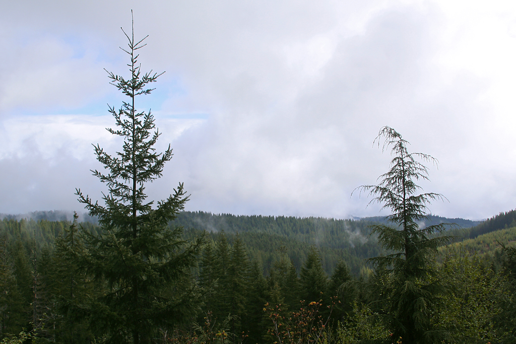
The beautiful mountains

Really close

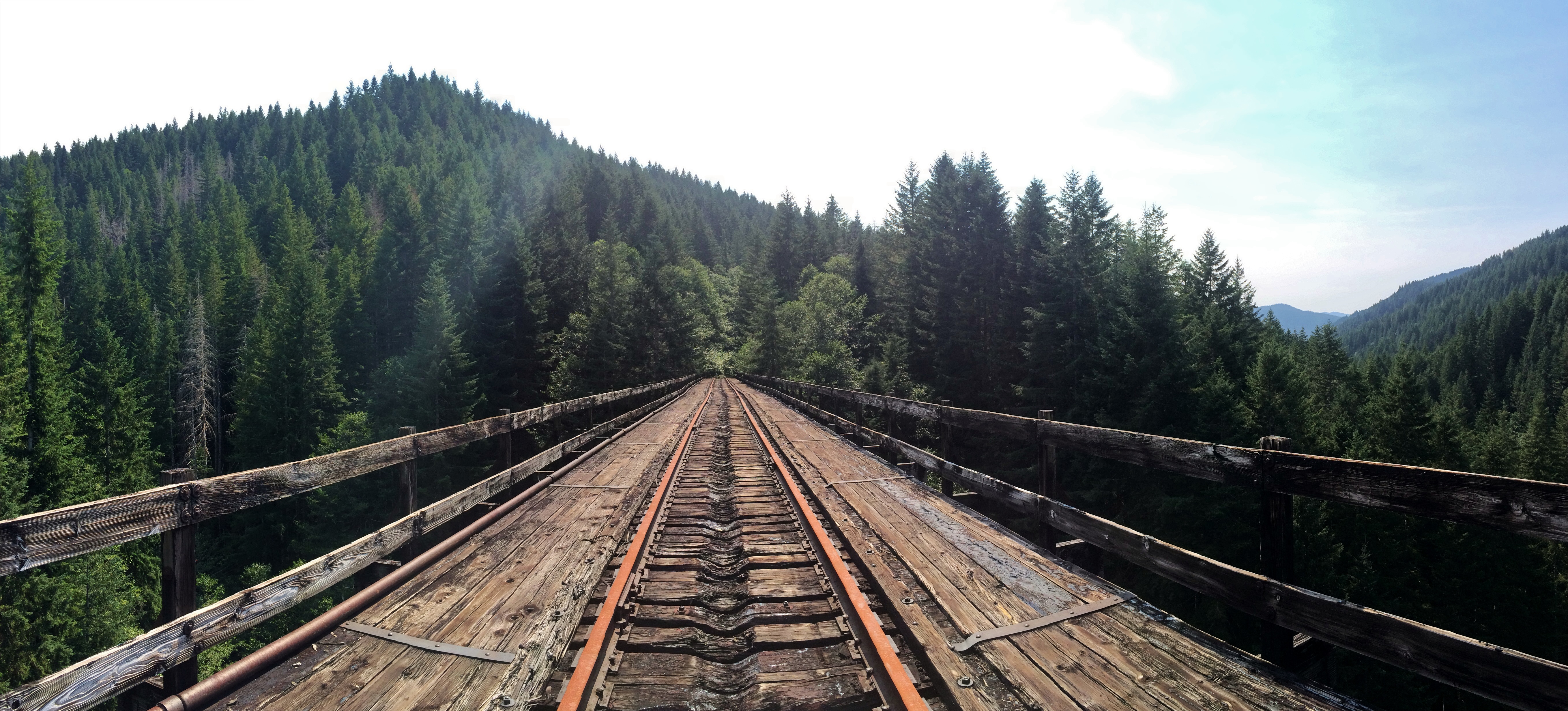
Trestle with a view

Up the canyon
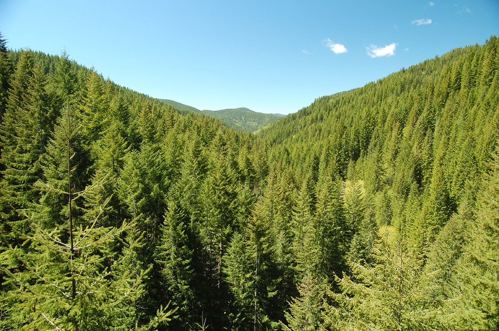
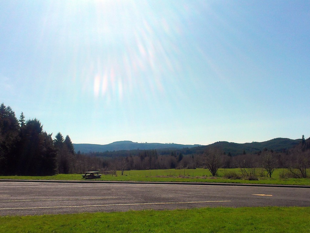
Mountain View
Big Baldwin Trestle
nehalem river view 2
East Fork Humbug Creek

Afternoon stillness
Experiments in splash

Mount St.Helens Viewpoint
Mt. St. Helens

Matt on a Bridge
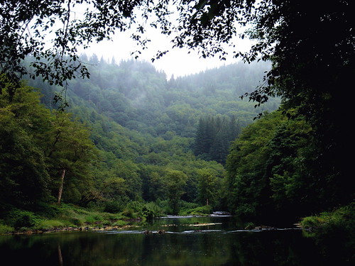
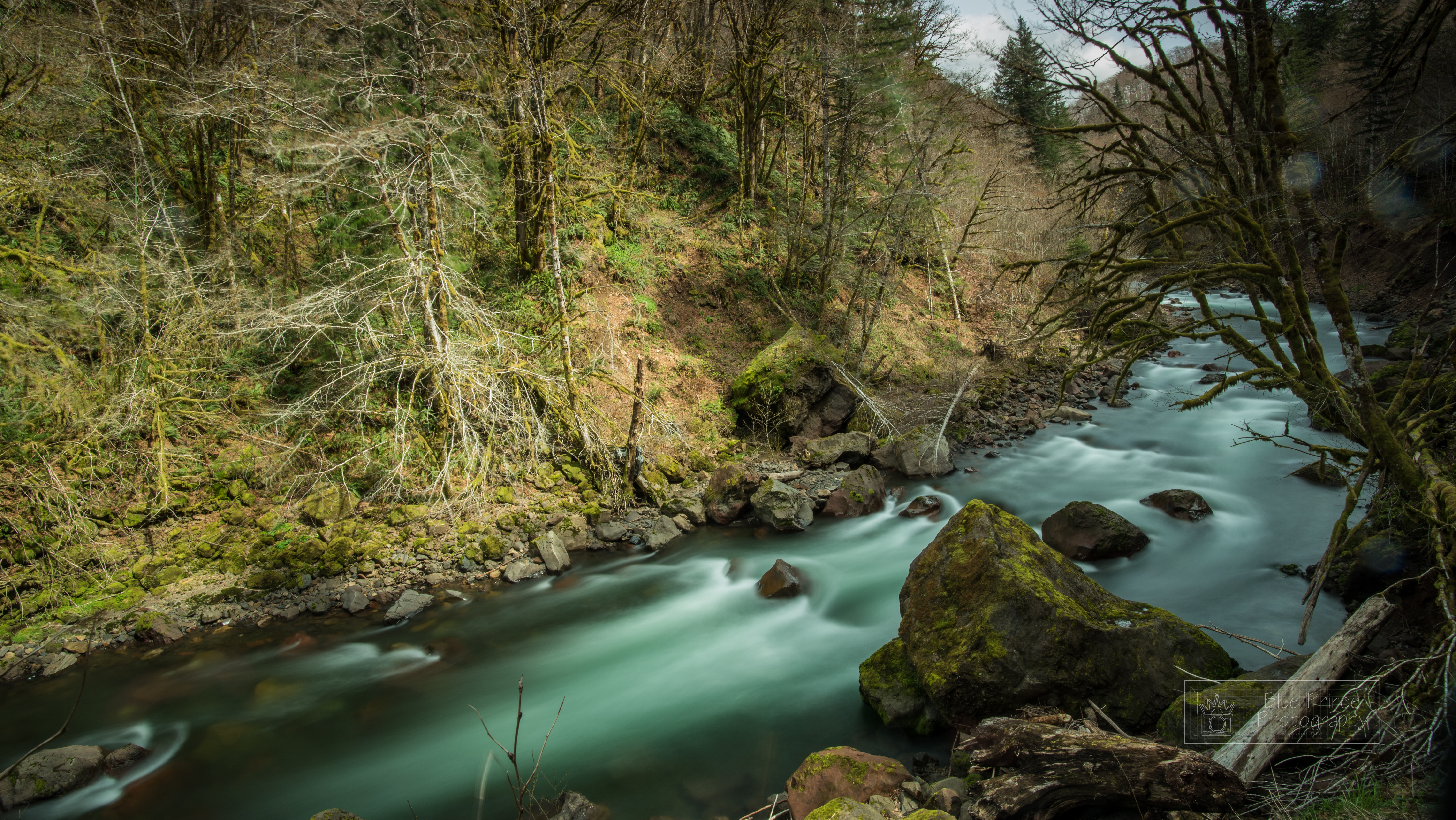
Salmonberry River

Wet and green

Sunshine Magic

Winter Water

201803-SalmonberryHike_Full-19
201803-SalmonberryHike_Full-11
Jewell Meadows

This is Oregon State No.22 - Above the Clouds
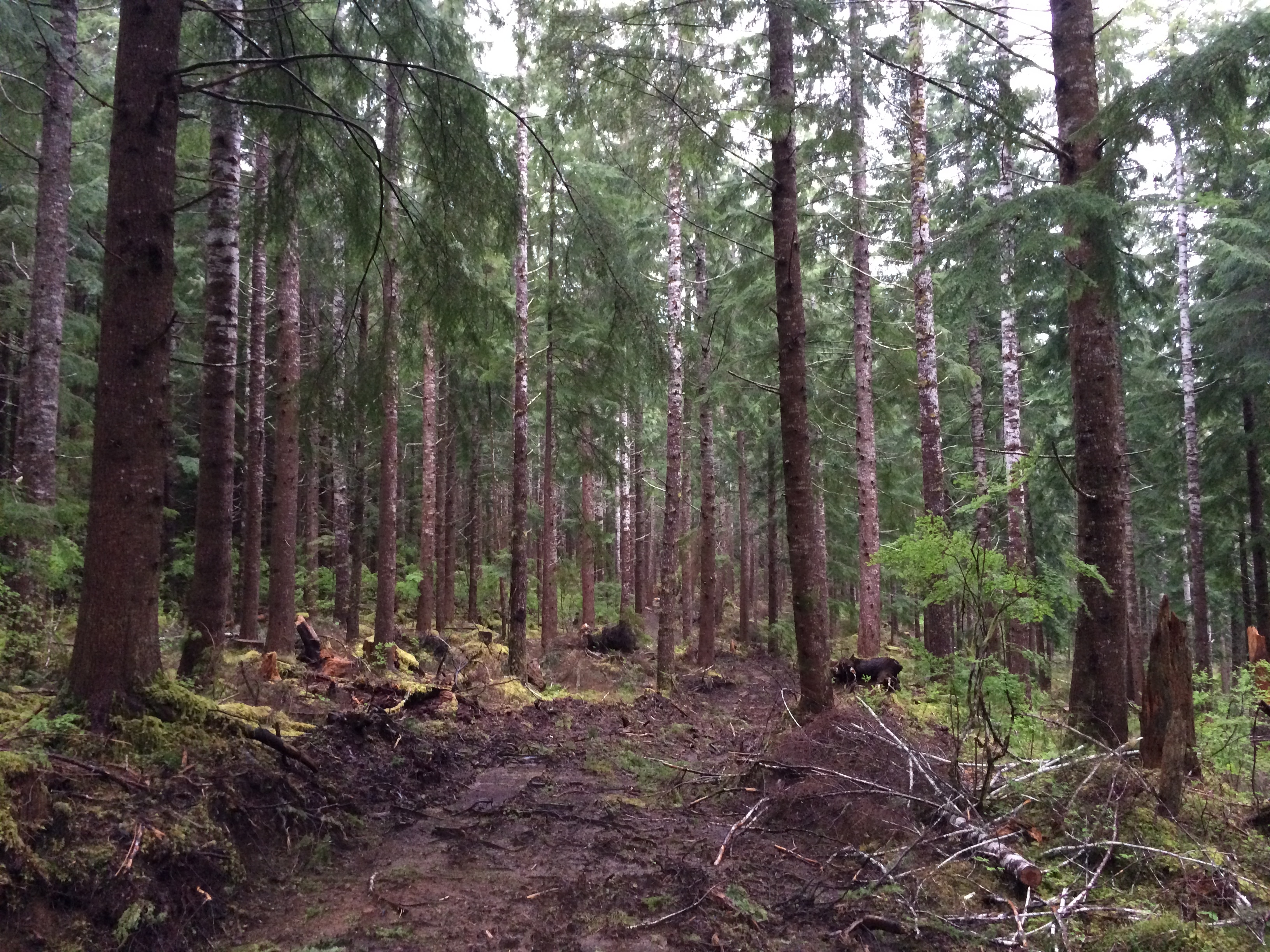
Logging road in Hemlock forest

20150119-1027-00230-Waterfalls Trip-Edit
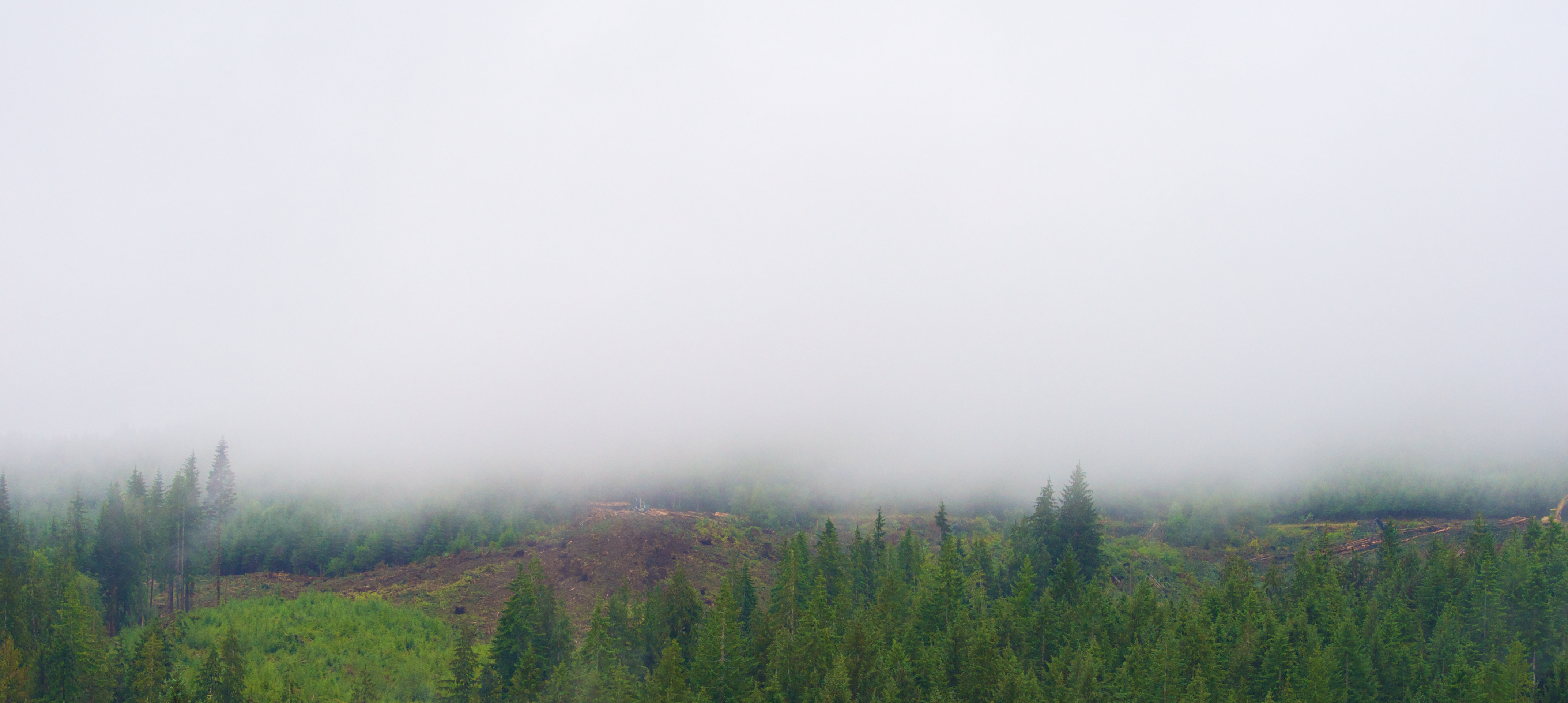
Hidden Logging

Columbia Co. Oregon near Mist
Topographic Map of Flat Iron Mountain, Oregon, USA
Find elevation by address:

Places near Flat Iron Mountain, Oregon, USA:
Elderberry Inn
US-26, Seaside, OR, USA
43957 Sunset Hwy
Lower Nehalem Rd, Seaside, OR, USA
Elsie
Sunset Highway
Enright
40000 Foss Rd
Giveout Mountain
79827 Hamlet Rd
Rogers Peak
Hamlet
Cochran Pond
Saddle Mountain State Natural Area
Keasey Rd, Vernonia, OR, USA
11847 Keasey Rd
Round Top
Timber
71387 Fishhawk Rd
55275 Timber Rd
Recent Searches:
- Elevation of Pasing, Munich, Bavaria, 81241, Germany
- Elevation of 24, Auburn Bay Crescent SE, Auburn Bay, Calgary, Alberta, T3M 0A6, Canada
- Elevation of Denver, 2314, Arapahoe Street, Five Points, Denver, Colorado, 80205, USA
- Elevation of Community of the Beatitudes, 2924, West 43rd Avenue, Sunnyside, Denver, Colorado, 80211, USA
- Elevation map of Litang County, Sichuan, China
- Elevation map of Madoi County, Qinghai, China
- Elevation of 3314, Ohio State Route 114, Payne, Paulding County, Ohio, 45880, USA
- Elevation of Sarahills Drive, Saratoga, Santa Clara County, California, 95070, USA
- Elevation of Town of Bombay, Franklin County, New York, USA
- Elevation of 9, Convent Lane, Center Moriches, Suffolk County, New York, 11934, USA
- Elevation of Saint Angelas Convent, 9, Convent Lane, Center Moriches, Suffolk County, New York, 11934, USA
- Elevation of 131st Street Southwest, Mukilteo, Snohomish County, Washington, 98275, USA
- Elevation of 304, Harrison Road, Naples, Cumberland County, Maine, 04055, USA
- Elevation of 2362, Timber Ridge Road, Harrisburg, Cabarrus County, North Carolina, 28075, USA
- Elevation of Ridge Road, Marshalltown, Marshall County, Iowa, 50158, USA
- Elevation of 2459, Misty Shadows Drive, Pigeon Forge, Sevier County, Tennessee, 37862, USA
- Elevation of 8043, Brightwater Way, Spring Hill, Williamson County, Tennessee, 37179, USA
- Elevation of Starkweather Road, San Luis, Costilla County, Colorado, 81152, USA
- Elevation of 5277, Woodside Drive, Baton Rouge, East Baton Rouge Parish, Louisiana, 70808, USA
- Elevation of 1139, Curtin Street, Shepherd Park Plaza, Houston, Harris County, Texas, 77018, USA