Elevation of Fishhawk Rd, Birkenfeld, OR, USA
Location: United States > Oregon > Clatsop County >
Longitude: -123.36671
Latitude: 46.03327
Elevation: 174m / 571feet
Barometric Pressure: 99KPa
Elevation Map:
Satellite Map:
Related Photos:
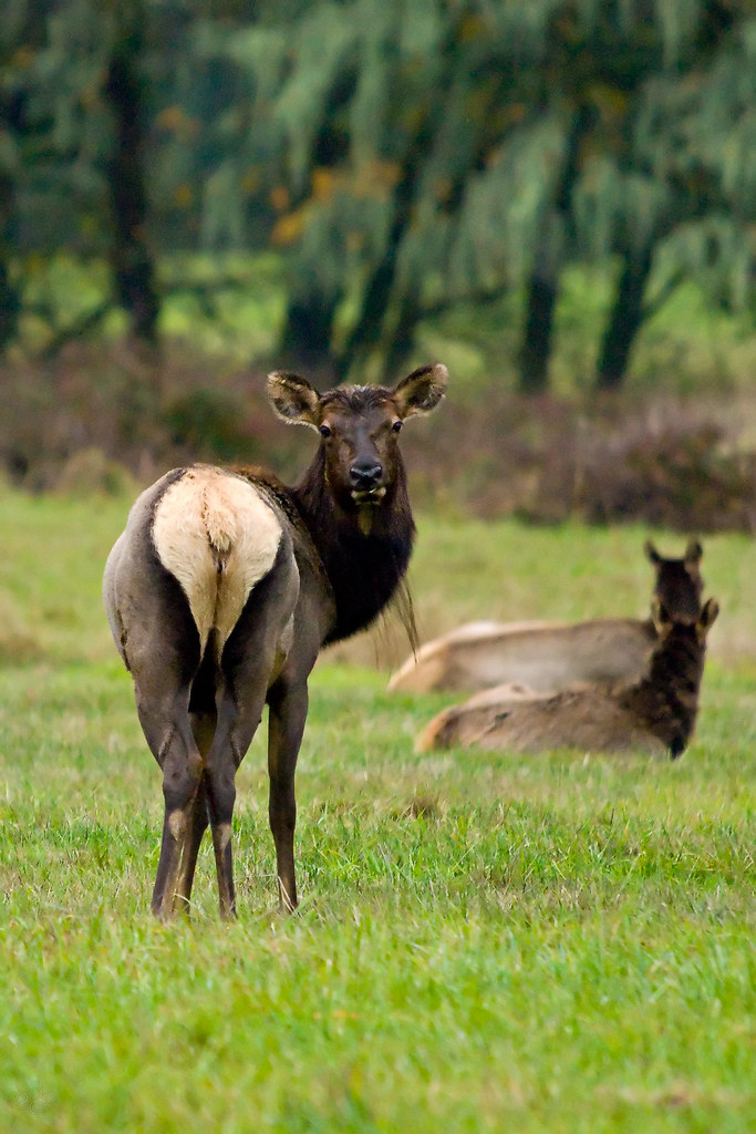
Roosevelt elk in October

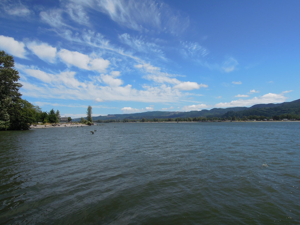
view from mist-clatskanie hwy

view from my office #2

View from the Mist-Clatskanie Highway

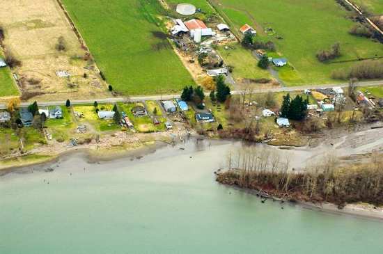
21256.jpg

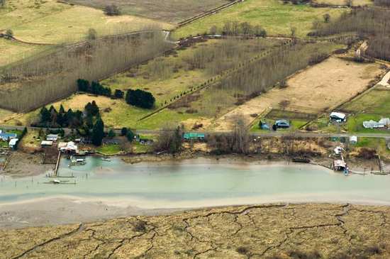
Farm House in Oregon

Bill stopped to take pictures of the view, so I took a picture of him just as well

21378.jpg
View straight ahead

21251.jpg
21235.jpg

21206.jpg
21266.jpg

21249.jpg

21267.jpg
21229.jpg

21257.jpg

21209.jpg
21376.jpg

21372.jpg

21364.jpg

... winter country road, Columbia County, Oregon...

....

birds on a wire

Clatskanie Cow

21246.jpg

21243.jpg

21357.jpg

21248.jpg

Road 2
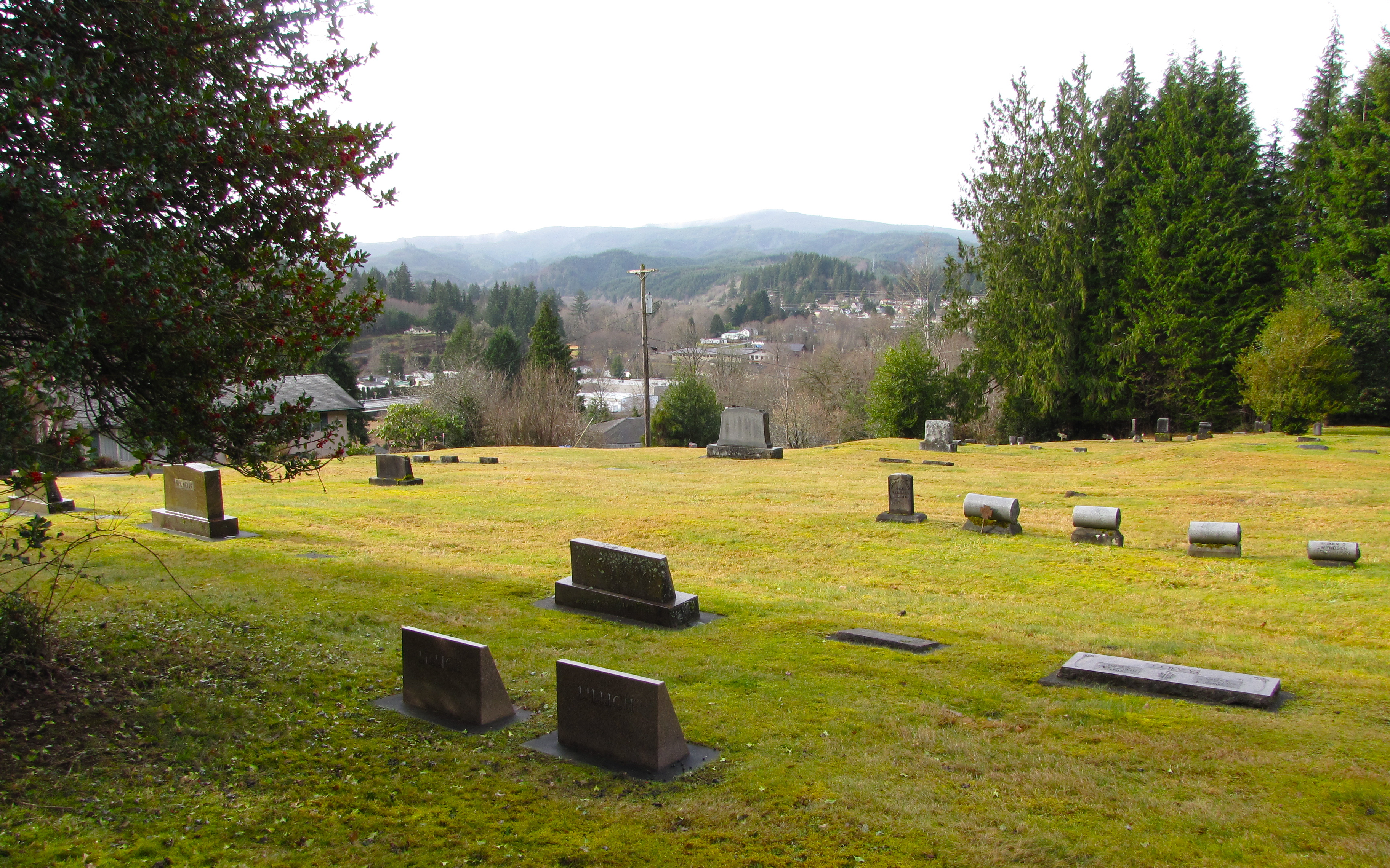
bryant cemetery

Field Pan

outhouse, Scout Lake, near Clatskanie, OR

westport cemetery

westport cemetery

la busqueda eterna

Had an awesome week at my farm.

Scout Lake Trail, near Clatskanie, OR

Old CRH Paint and Pavement (2015)

Old CRH Paint and Pavement (2015)
Topographic Map of Fishhawk Rd, Birkenfeld, OR, USA
Find elevation by address:

Places near Fishhawk Rd, Birkenfeld, OR, USA:
Mist
OR-47, Clatskanie, OR, USA
WA-, Cathlamet, WA, USA
15910 Elliot Rd
Fern Hill Road
East Cathlamet
210 Fern Hill Rd
121 Fern Hill Rd
121 Fern Hill Rd
220 Wa-4
11847 Keasey Rd
16 Hillcrest Dr
99 Main St
Cathlamet
625 Sw Tichenor St
351 Sw 4th St
Clatskanie
Keasey Rd, Vernonia, OR, USA
Erickson Dike Rd, Clatskanie, OR, USA
Hwy 30, Clatskanie, OR, USA
Recent Searches:
- Elevation of Corso Fratelli Cairoli, 35, Macerata MC, Italy
- Elevation of Tallevast Rd, Sarasota, FL, USA
- Elevation of 4th St E, Sonoma, CA, USA
- Elevation of Black Hollow Rd, Pennsdale, PA, USA
- Elevation of Oakland Ave, Williamsport, PA, USA
- Elevation of Pedrógão Grande, Portugal
- Elevation of Klee Dr, Martinsburg, WV, USA
- Elevation of Via Roma, Pieranica CR, Italy
- Elevation of Tavkvetili Mountain, Georgia
- Elevation of Hartfords Bluff Cir, Mt Pleasant, SC, USA