Elevation of Ferrari Ranch Rd, Lincoln, CA, USA
| Latitude | 38.8738957 |
|---|---|
| Longitude | -121.302301 |
| Elevation | 45m / 148feet |
| Barometric Pressure | 1008KPa |
Related Photos:
The Pond 046

Dawn View from Crooked Bridge

Happy Easter - Morning Glory

Day 977: Roseville_1701d

Gold in the Sierra Nevada Foothills
Storms Approach

Quarry Wall Under Forest Moonlight
The A-10 Warthog Pop-out
Two rotary snow plows parked at Roseville Ca. ( 2 Views )
Paralleling tracks
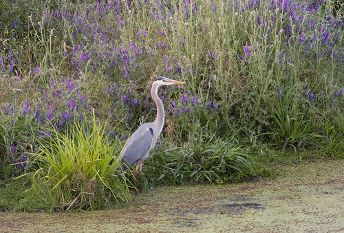
Blue Heron In Vetch 0893

Sunrise this morning
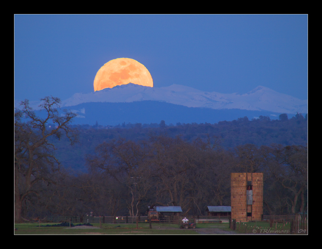
Crystal Moon Rising
Windy Spring Day 6547

BBQ with an A-10 Warthog
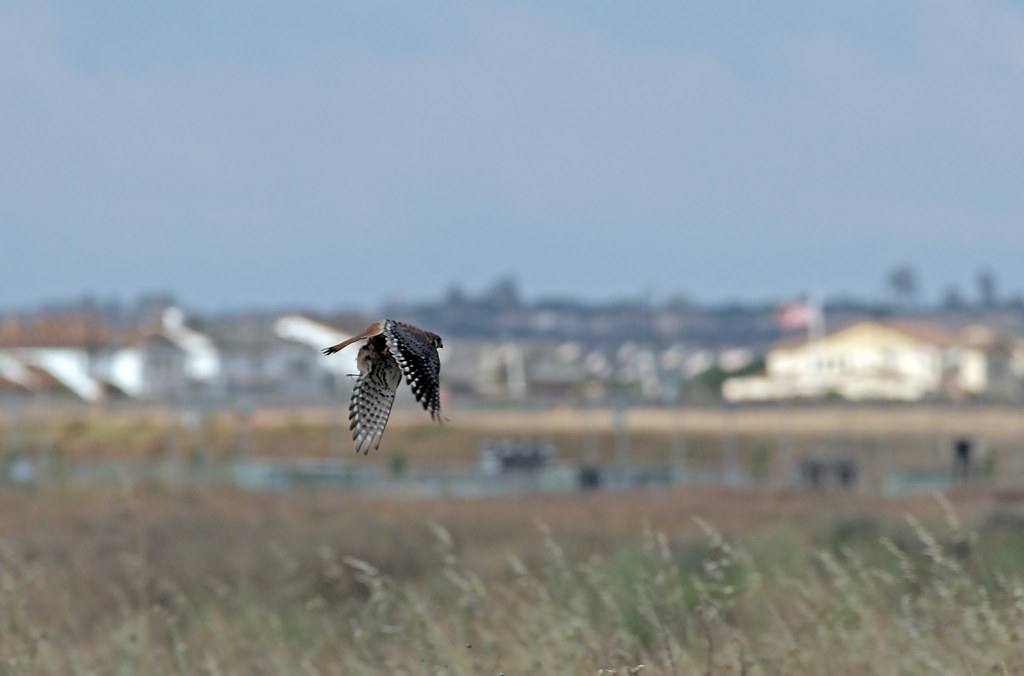
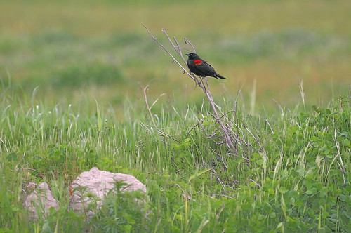
Kestrel With Prey
Look into my eyes 6658

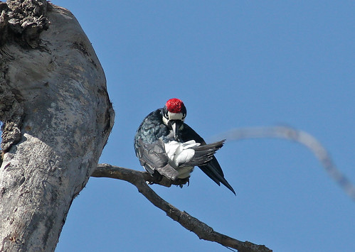
The Hunter 9653
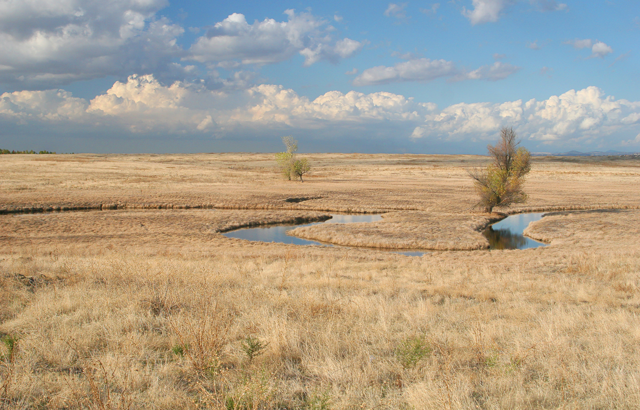
Meandering 0901

True Blue (Western Bluebird Sialia mexicana) 0301

White-tailed Kite Hover-Hunting (II)
Quarry Park Pond 0872

Field of Depth - Foggy Days in the Agricultural Fields of the Central Valley, California

This doesn't look good!!
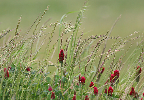
Oatgrass and Crimson Clover 6553
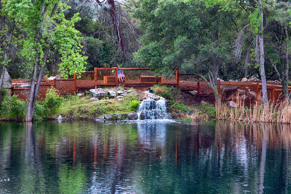
214/365 ~ Hidden Falls Regional Park
Sculpture Park Trail, Roseville #park #roseville #trail #trees
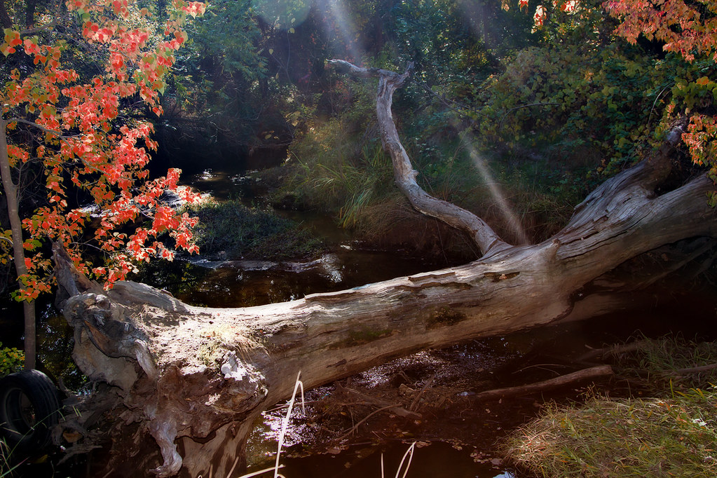
Streams Of Light On A Fall Day 1084

Oak and Fog

Deer In Moonlight 0868

California Dreamin'
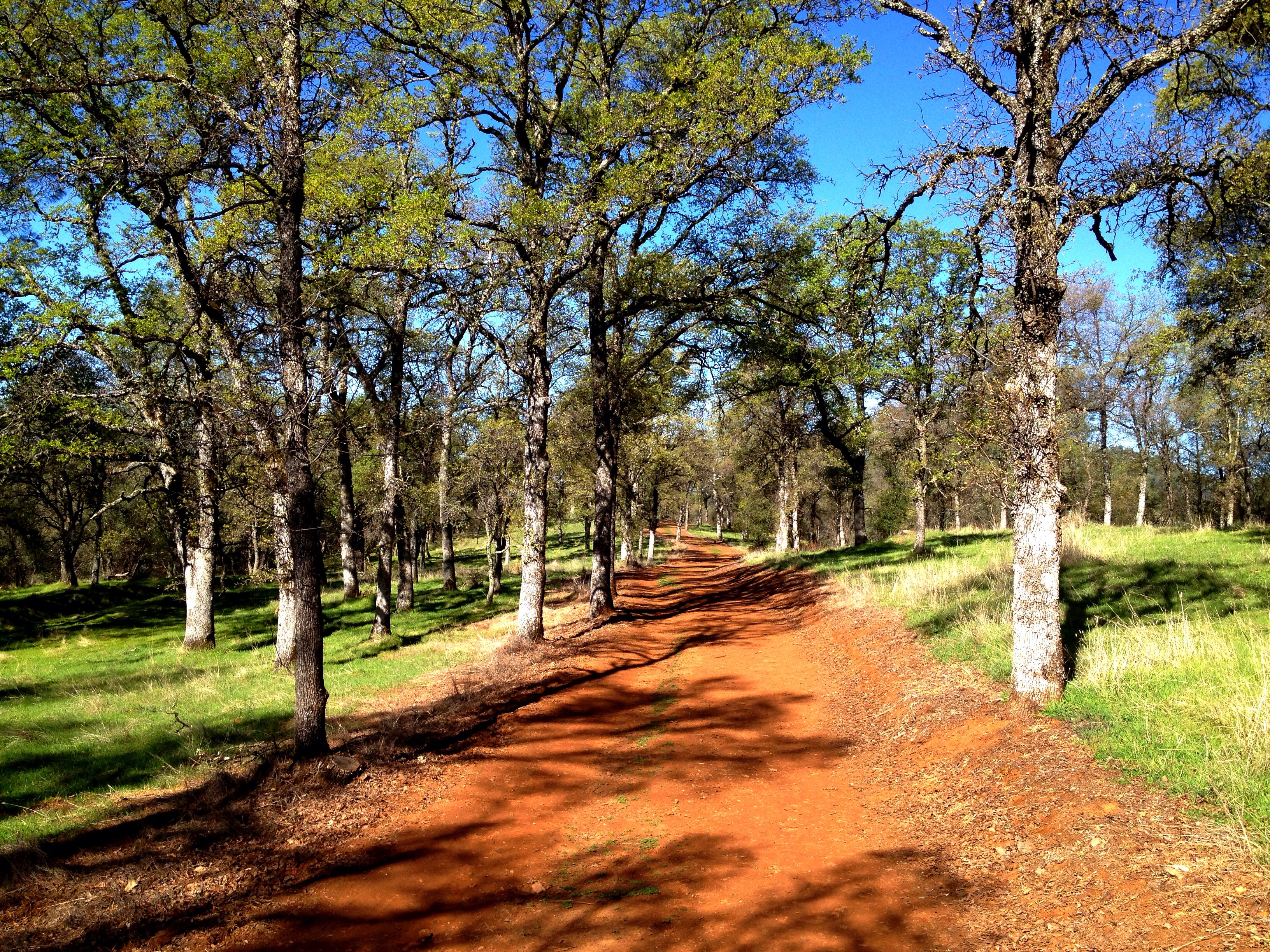
Loomis landscape #instamood

{when we put our minds to it, the sky is just the beginning }
Undulations 9509
DSC_7439_HDR-24.jpg

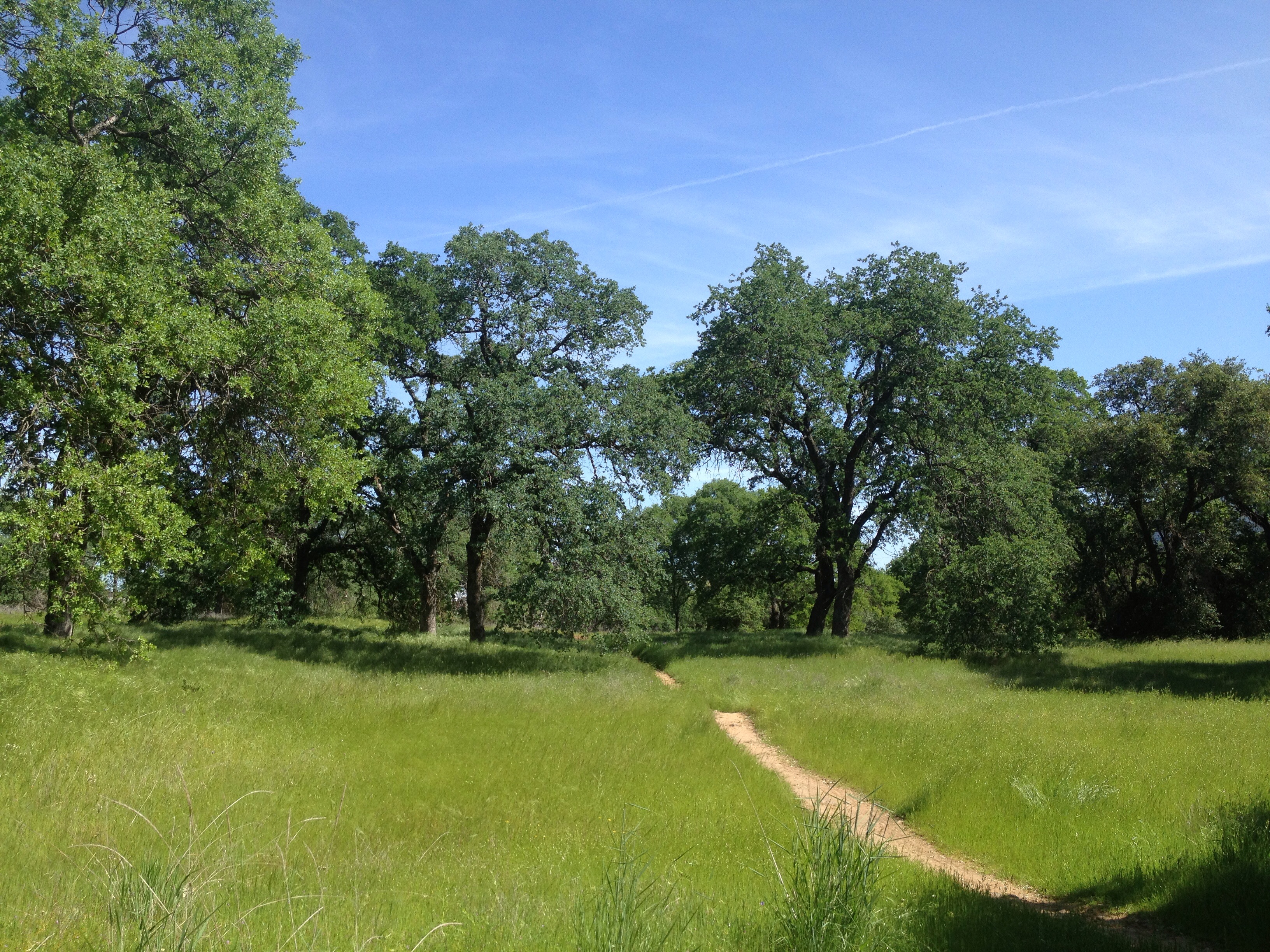
Oak Emerging
DSC06581 copy
{your path is not shown by anyone, it's drawn by you, so follow your heart }
Topographic Map of Ferrari Ranch Rd, Lincoln, CA, USA
Find elevation by address:
Places near Ferrari Ranch Rd, Lincoln, CA, USA:
521 Lincoln Blvd
521 Lincoln Blvd
521 Lincoln Blvd
521 Lincoln Blvd
The Home Depot
1591 Drummond Ln
1025 Renison Ln
1459 Rawlings Ln
Lincoln Crossing
1665 Benvenito Ln
102 Amalfi Ct
1504 4th St
1397 Wyndham Ln
111 Deanna Ct
508 P St
Downtown Lincoln
Lincoln
Lincoln Rifle Club Range
617 Widgeon Ct
613 Widgeon Ct
Recent Searches:
- Elevation map of Central Hungary, Hungary
- Elevation map of Pest, Central Hungary, Hungary
- Elevation of Pilisszentkereszt, Pest, Central Hungary, Hungary
- Elevation of Dharamkot Tahsil, Punjab, India
- Elevation of Bhinder Khurd, Dharamkot Tahsil, Punjab, India
- Elevation of 2881, Chabot Drive, San Bruno, San Mateo County, California, 94066, USA
- Elevation of 10370, West 107th Circle, Westminster, Jefferson County, Colorado, 80021, USA
- Elevation of 611, Roman Road, Old Ford, Bow, London, England, E3 2RW, United Kingdom
- Elevation of 116, Beartown Road, Underhill, Chittenden County, Vermont, 05489, USA
- Elevation of Window Rock, Colfax County, New Mexico, 87714, USA
- Elevation of 4807, Rosecroft Street, Kempsville Gardens, Virginia Beach, Virginia, 23464, USA
- Elevation map of Matawinie, Quebec, Canada
- Elevation of Sainte-Émélie-de-l'Énergie, Matawinie, Quebec, Canada
- Elevation of Rue du Pont, Sainte-Émélie-de-l'Énergie, Matawinie, Quebec, J0K2K0, Canada
- Elevation of 8, Rue de Bécancour, Blainville, Thérèse-De Blainville, Quebec, J7B1N2, Canada
- Elevation of Wilmot Court North, 163, University Avenue West, Northdale, Waterloo, Region of Waterloo, Ontario, N2L6B6, Canada
- Elevation map of Panamá Province, Panama
- Elevation of Balboa, Panamá Province, Panama
- Elevation of San Miguel, Balboa, Panamá Province, Panama
- Elevation of Isla Gibraleón, San Miguel, Balboa, Panamá Province, Panama