Elevation of Falls Creek Rd, Las Vegas, NM, USA
Location: United States > New Mexico > Las Vegas >
Longitude: -105.44168
Latitude: 35.6052641
Elevation: 2199m / 7215feet
Barometric Pressure: 78KPa
Elevation Map:
Satellite Map:
Related Photos:
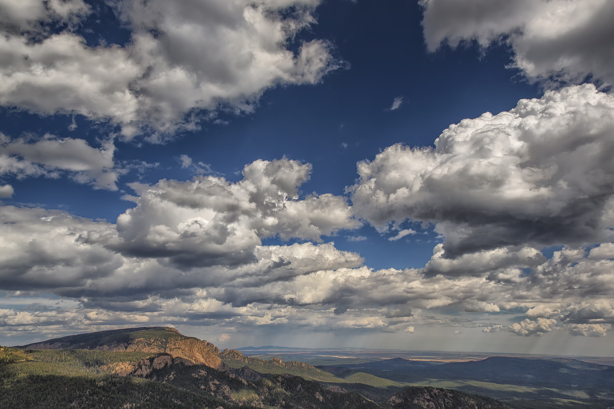
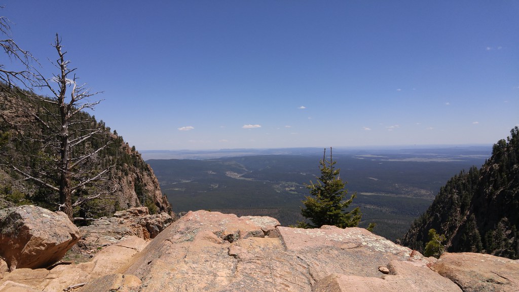
Hermit Peak and the Turkey Mountains from Johnson Mesa
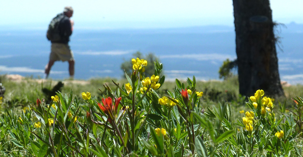
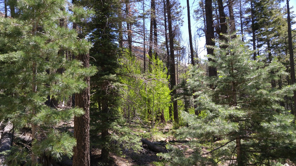
i walk among them
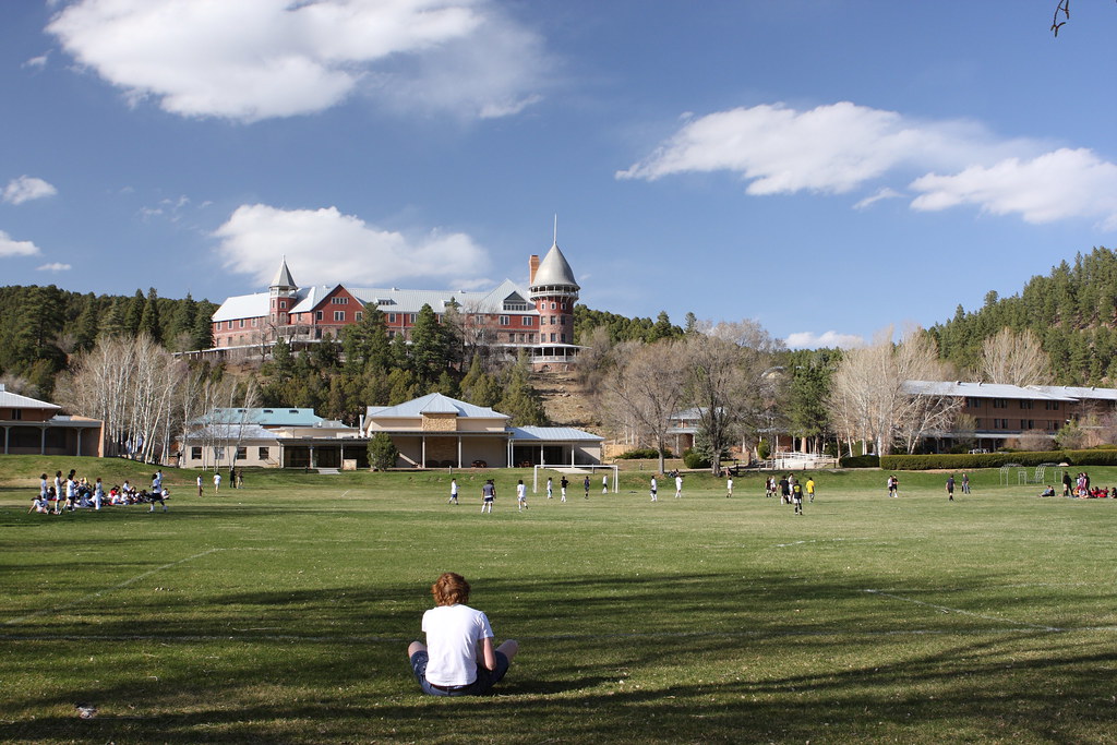
Gareth has a Great View of the Game
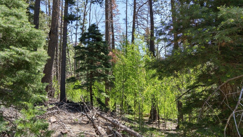
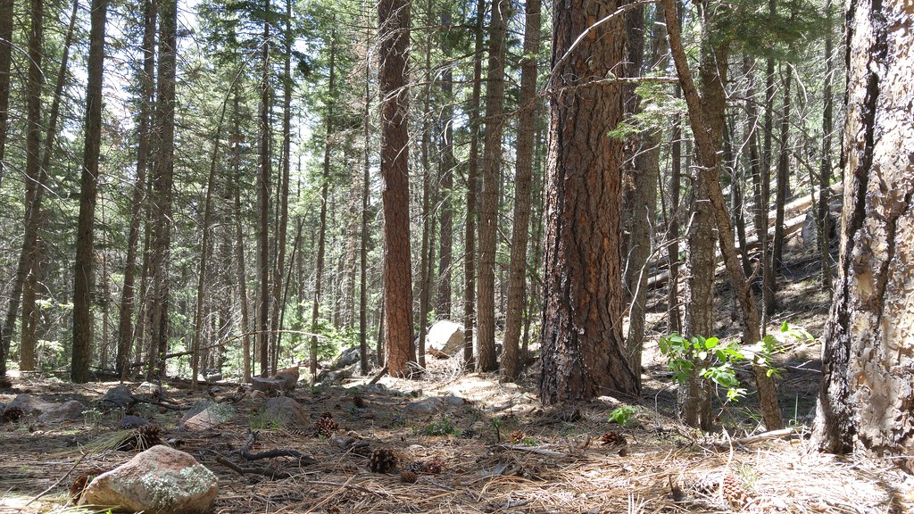
Living among the pines

Having fun at 8500 ft at the -x- (barxbar) ranch in New Mexico. Colorado tomorrow!! #-x- #nm #newmexico #barxbar #ranch #view #vacation #havingablast #wedding #jeep #wrangler #xtsjeep #mountains #selfie #fromsocal #bitchenweather

Tecolote Fire and Hermit's Peak
Las Vegas
Las Vegas
Photos from Hermits Peak hike
Las Vegas

Las Vegas
Photos from Hermits Peak hike

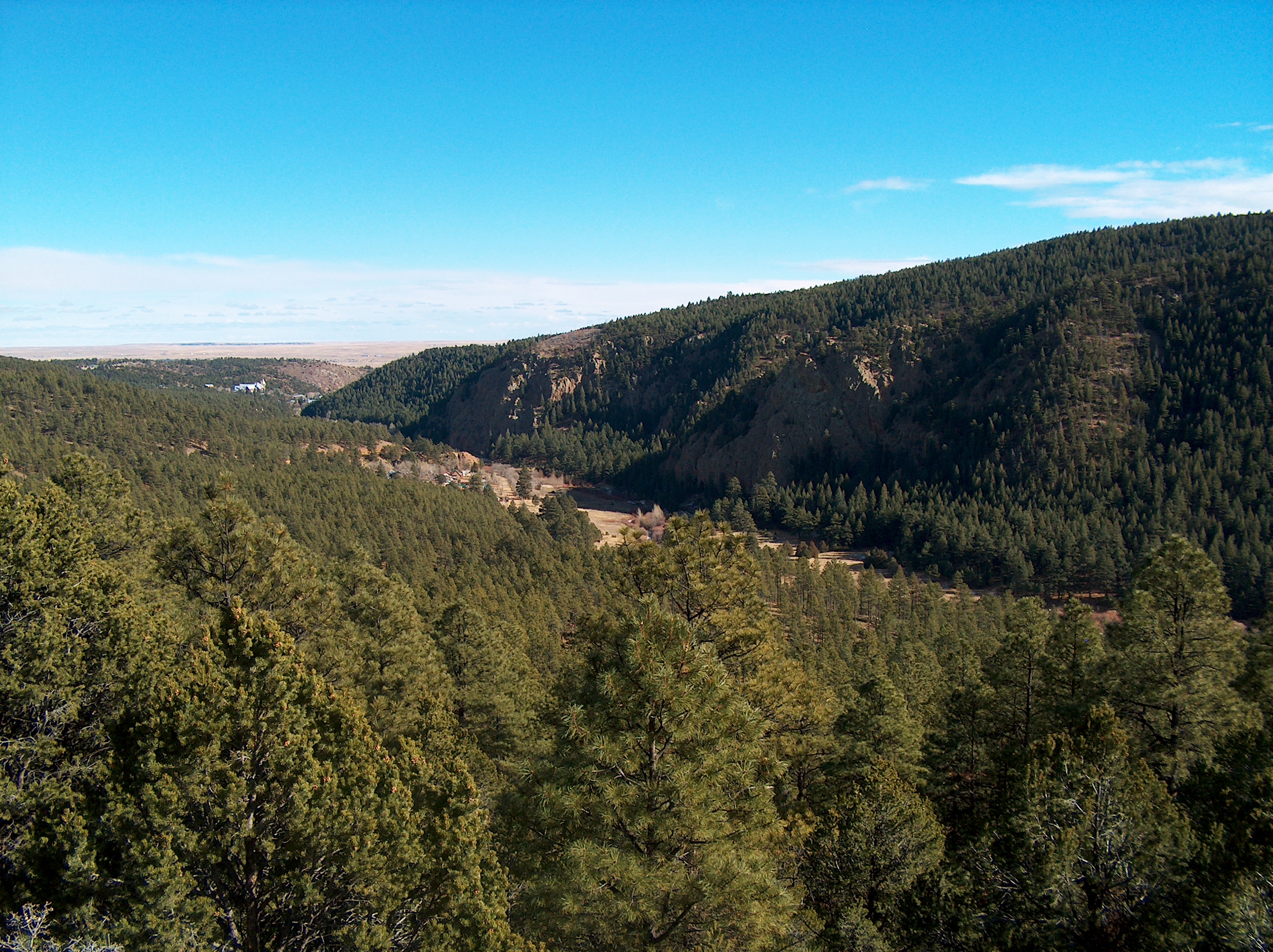
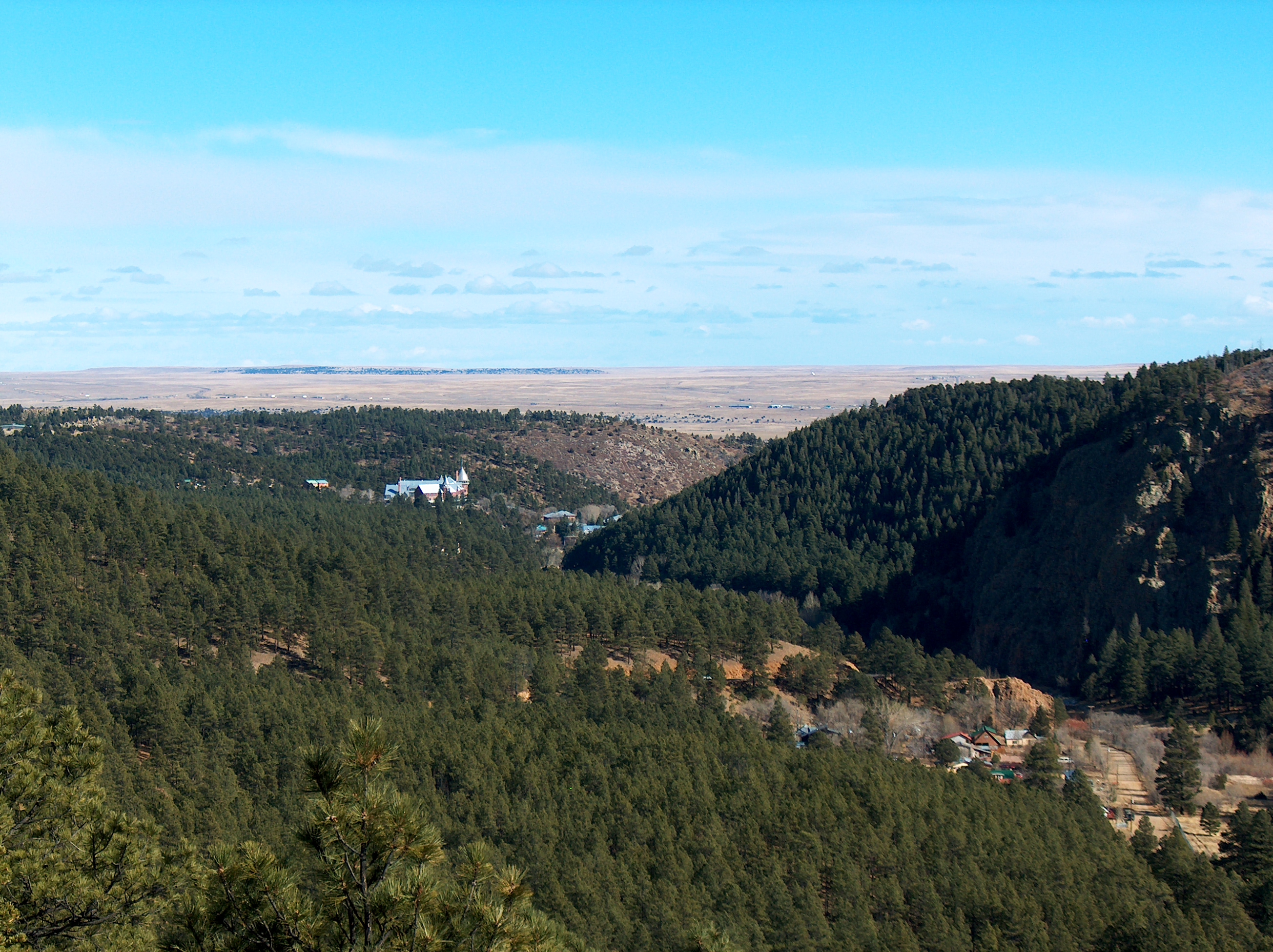
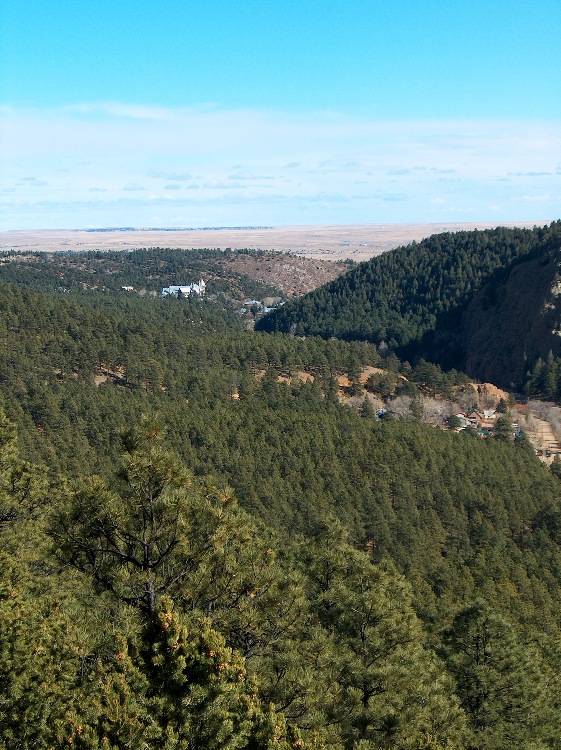
El Porvenir canyon from a distance
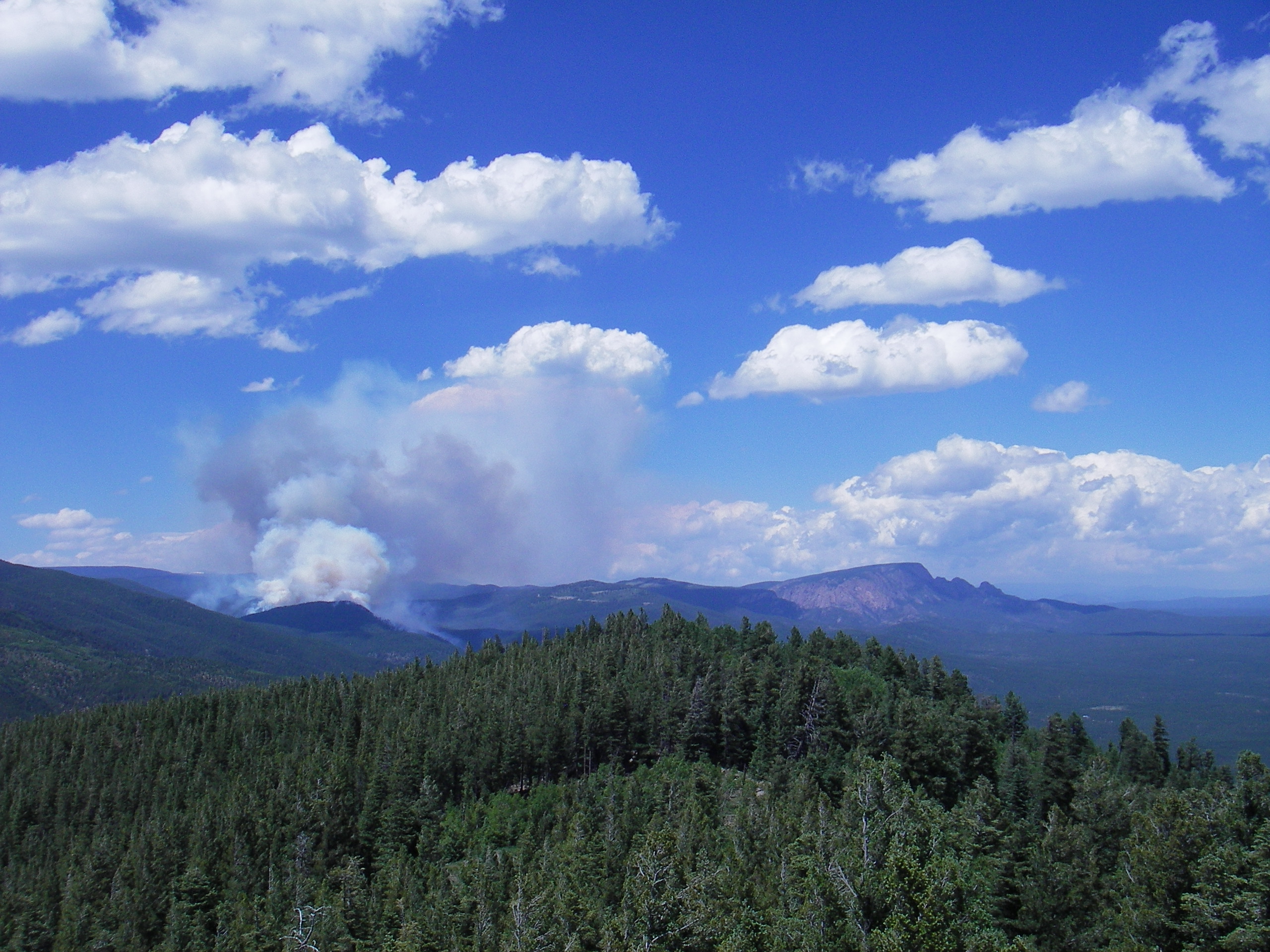
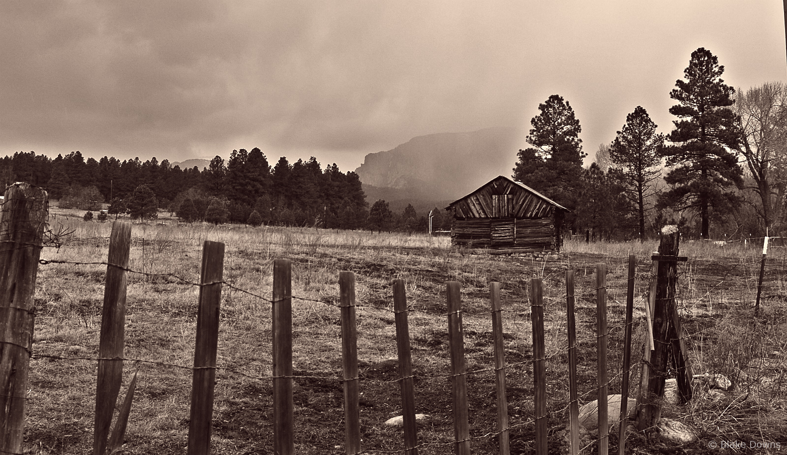
Tecolote Fire and Hermit's Peak
Las Vegas
Photos from Hermits Peak hike

Photos from Hermits Peak hike
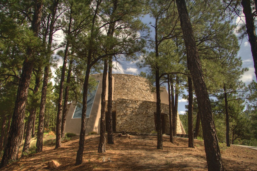
Dwan Light Sanctuary

Photos from Hermits Peak hike

Photos from Hermits Peak hike
Photos from Hermits Peak hike
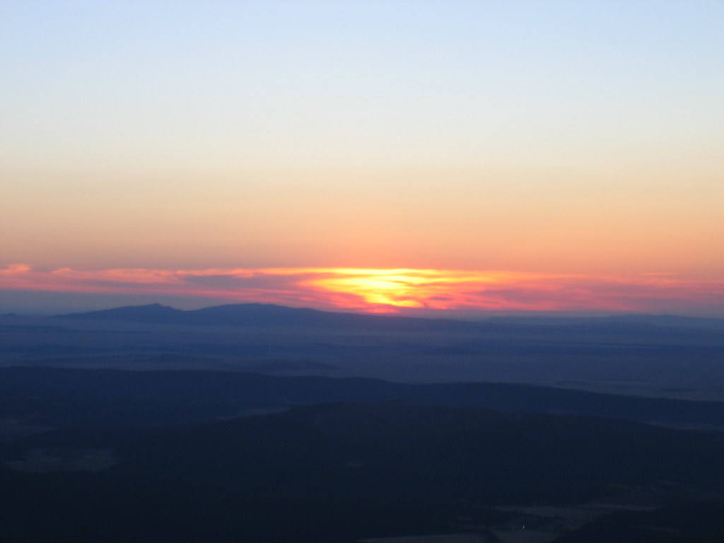
Sunrise on Hermit's Peak
Photos from Hermits Peak hike

Photos from Hermits Peak hike
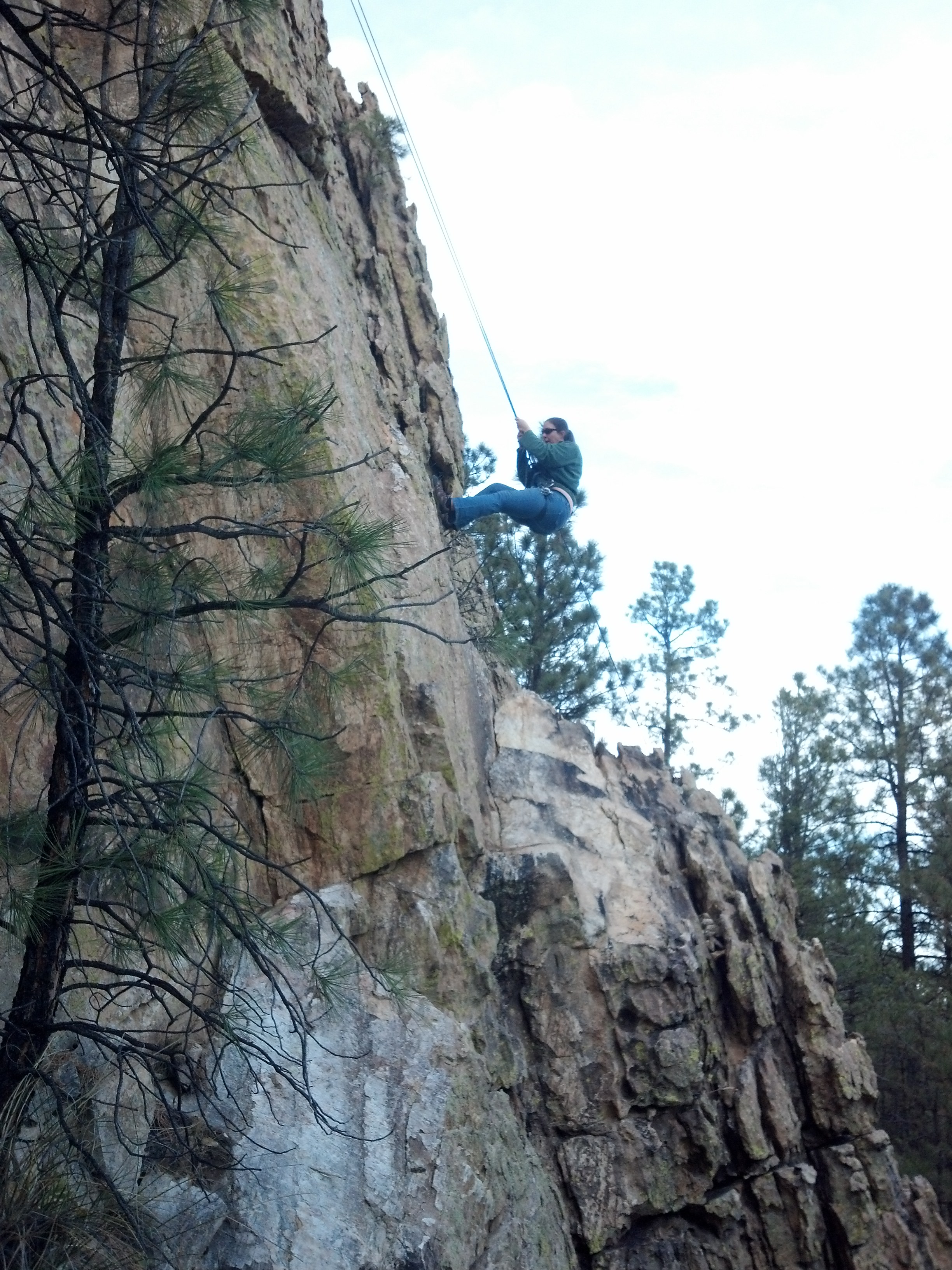
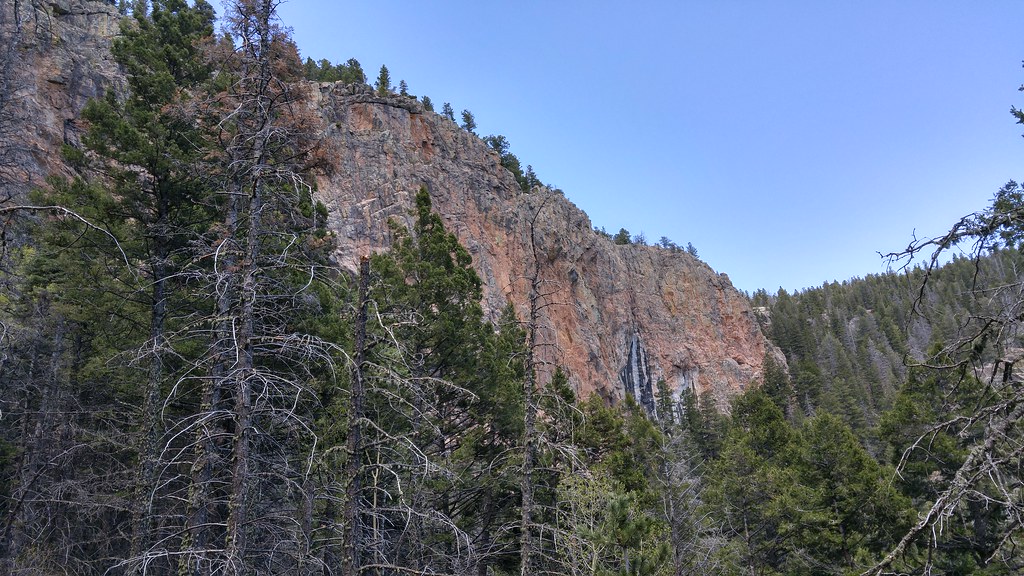
Climbing, Las Vegas NM
Topographic Map of Falls Creek Rd, Las Vegas, NM, USA
Find elevation by address:

Places near Falls Creek Rd, Las Vegas, NM, USA:
9 Twin Ponds Ln
County Road A18a
San Geronimo Cabo Lucero Fire Department
7 St Joseph Dr
Montezuma
720 Camino Maximiliano
407 Cinder Rd
Cinder Road River Walk
U.s. 84
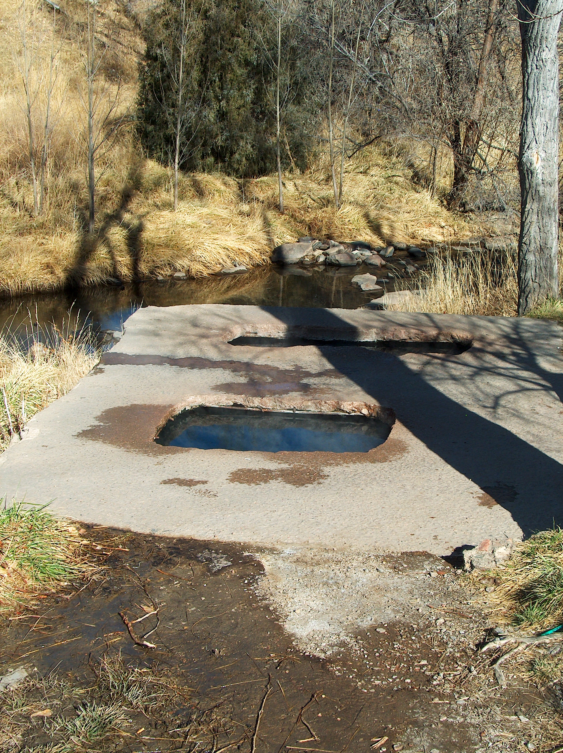
2213 Hot Springs Blvd
2213 Hot Springs Blvd
Storrie Lake State Park
East Las Vegas
Bridge Street
Las Vegas
12th St & Jackson St
12th St & Jackson St
12th St & Jackson St
Las Vegas Nm
407 11th St
Recent Searches:
- Elevation of Corso Fratelli Cairoli, 35, Macerata MC, Italy
- Elevation of Tallevast Rd, Sarasota, FL, USA
- Elevation of 4th St E, Sonoma, CA, USA
- Elevation of Black Hollow Rd, Pennsdale, PA, USA
- Elevation of Oakland Ave, Williamsport, PA, USA
- Elevation of Pedrógão Grande, Portugal
- Elevation of Klee Dr, Martinsburg, WV, USA
- Elevation of Via Roma, Pieranica CR, Italy
- Elevation of Tavkvetili Mountain, Georgia
- Elevation of Hartfords Bluff Cir, Mt Pleasant, SC, USA