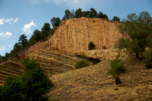
Elevation of Camino Maximiliano, Las Vegas, NM, USA

Location: United States > New Mexico > Las Vegas >

Longitude: -105.25855

Latitude: 35.6185623

Elevation: 2051m / 6729feet

Barometric Pressure: 79KPa

Elevation Map:

elevation map of Camino Maximiliano, Las Vegas, NM, USA
Satellite Map:

Satellite map of Camino Maximiliano, Las Vegas, NM, USA

Related Photos:

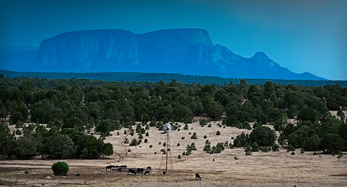
trees mountain newmexico windmill field rain landscape cows lasvegas 2011 hermitspeak
hermit's peak
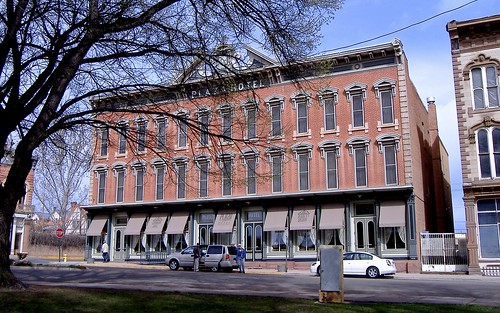
usa newmexico america hotel downtown lasvegas roadtrip location historic applecrypt
Another birthday in America!
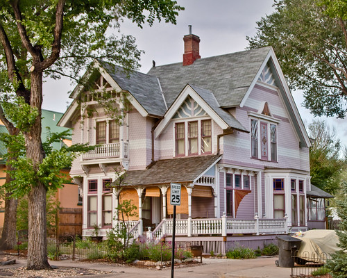
trip newmexico architecture lasvegas roadtrip september residence attorney 2011 carnegiepark johnhill queenannestyle louisfort louisforthouse palliserpalliser patternbookdesign
Louis Fort House
trip newmexico architecture lasvegas roadtrip september residence attorney 2011 carnegiepark johnhill queenannestyle louisfort louisforthouse palliserpalliser patternbookdesign
Louis Fort House: Front View
largeformat antiquedollhead
mis dientes pequeños
trees newmexico clouds lomography instantcamera fujiinstaxinstantfilm lomoinstantwide
view from a park bench
perfectlyclear cameraawesome iphone4s
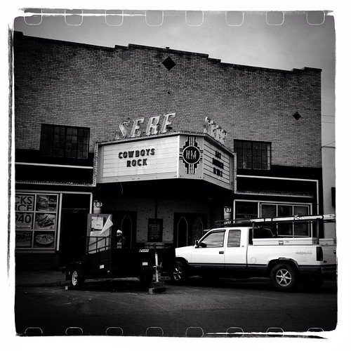
Serf Cowboys Rock
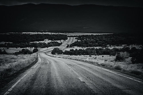
road blackandwhite bw newmexico dark monotone winding unkle 2011 followmedown
follow me down
newmexico nm
Living among the pines
largeformat monorailviewcamera
¡feliz cumpleaños!
AT13 Las Vegas 05
4x5 largeformat dollhead cambomonorail
adornos de navidad
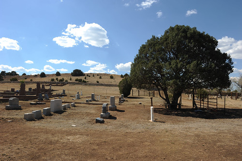
newmexico church cemetery grave nm lamanga santoninodeatochachapel
Santo Nino de Atocha Chapel - La Manga, New Mexico
amtrak southwestchief iphone4
Southwest Chief
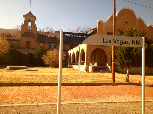
amtrak iphone4s
Views From Amtrak
newmexico geotagged us elections2008 guardianus08 geo:lon=105251870000 geo:lat=35521313333
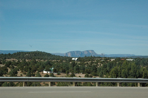
Views from Interstate 25 in northern New Mexico
amtrak iphone4s
Views From Amtrak
jewishcemetery montefiore montefiorecemetery jceaa jewishcemeteryexpeditionandarchive
Montefiore Cemetery (Las Vegas)
newmexico geotagged us elections2008 guardianus08 geo:lon=105261098333 geo:lat=35504035000
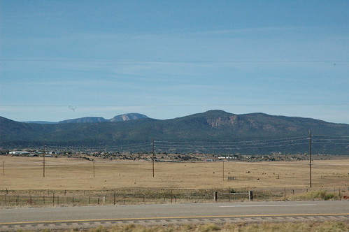
Views from Interstate 25 in northern New Mexico
AT13 Las Vegas 04
newmexico geotagged us elections2008 guardianus08 geo:lon=105198583333 geo:lat=35636780000
Views from Interstate 25 in northern New Mexico
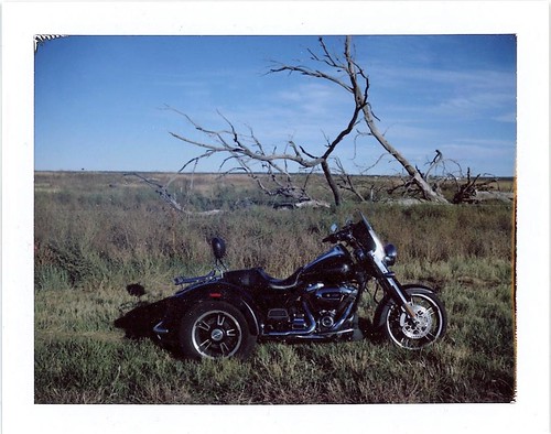
polaroid polaroidlandcamera peelapartfilm fujifp100c instantcamera instantfilm rural landscape newmexico
high plains
train amtrak southwestchief
081009-14.46.06
polaroid polaroidlandcamera peelapartfilm fujifp100c instantcamera instantfilm rural landscape newmexico
high plains 2
lasvegas theplains nm104 newmexicosantafewinter2010roadtrip
NM 1-0-4 (see it BIG!)
PEEC Birders
train amtrak southwestchief
081009-15.00.18
2011 barrycunningham belleburriscunninghamcharlesccunninghamdrjosephmcunninghamhelencunningham2011 cunninghamgravesitegraveyardlasvegasmasoniccemeterynewmexicoroadtripseptembertrip
Masonic Cemetery Panorama #1
American Kestrel female with snake lunch
trees blackandwhite snow newmexico fence landscape lasvegas wildliferefuge
las vegas, new mexico
world light newmexico college campus rainbow spectrum lasvegas prism chapel nm spectra joeldeluxe sanctuary armandhammer dwan
Dwan Light Sanctuary
El Porvenir canyon from a distance
newmexico rock train amtrak nm angled layered southernchief romeroville
Angled Rock Face
Desert Sun
Climbing, Las Vegas NM
travel newmexico square landscape normal iphoneography
New Mexico on the Fly
uploaded:by=flickrmobile flickriosapp:filter=nofilter
Beautiful NM sunset
lasvegasnationalwildliferefuge
2011_07_15_118.jpg
lasvegasnationalwildliferefuge
2011_07_15_149.jpg
Climbing, Las Vegas NM