Elevation of Hot Springs Blvd, Las Vegas, NM, USA
Location: United States > New Mexico > Las Vegas >

Longitude: -105.22978

Latitude: 35.5954083

Elevation: 1970m / 6463feet

Barometric Pressure: 80KPa

Elevation Map:

elevation map of Hot Springs Blvd, Las Vegas, NM, USA
Satellite Map:

Satellite map of Hot Springs Blvd, Las Vegas, NM, USA
Related Photos:

AT13 Las Vegas 05
jewishcemetery montefiore montefiorecemetery jceaa jewishcemeteryexpeditionandarchive
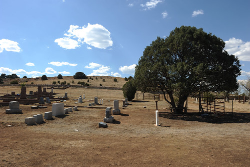
Montefiore Cemetery (Las Vegas)
AT13 Las Vegas 06
AT13 Las Vegas 04
trees mountain newmexico windmill field rain landscape cows lasvegas 2011 hermitspeak
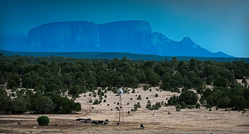
hermit's peak
4x5 largeformat dollhead cambomonorail
adornos de navidad
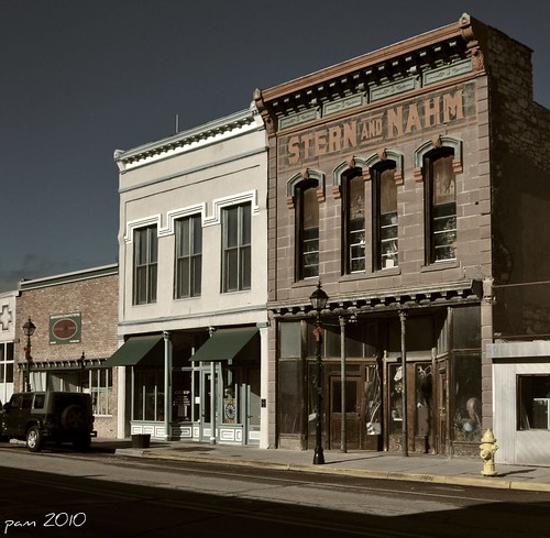
usa newmexico southwest architecture america buildings us historical nm smalltown lasvegasnewmexico northernnewmexico christmasroadtrip pammorris nikond5000 denverpam
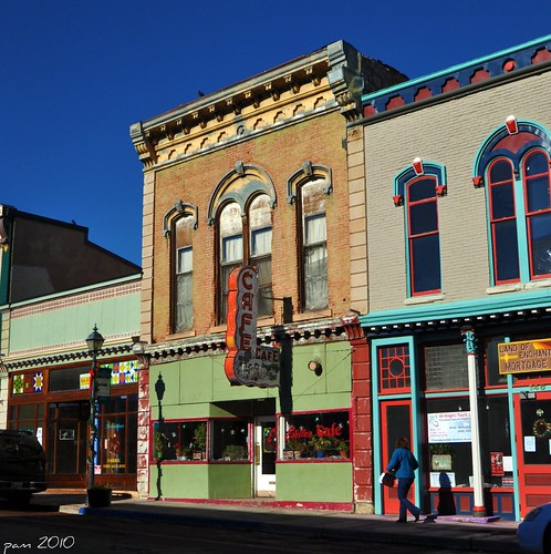
Main Street Facades
largeformat antiquedollhead
mis dientes pequeños
usa newmexico america hotel downtown lasvegas roadtrip location historic applecrypt
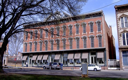
Another birthday in America!
largeformat monorailviewcamera
¡feliz cumpleaños!
trees newmexico clouds lomography instantcamera fujiinstaxinstantfilm lomoinstantwide
view from a park bench
perfectlyclear cameraawesome iphone4s
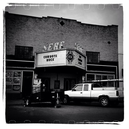
Serf Cowboys Rock
usa newmexico southwest brick architecture facade america buildings us historical storefronts nm smalltown lasvegasnewmexico northernnewmexico christmasroadtrip sternandnahm pammorris nikond5000 denverpam
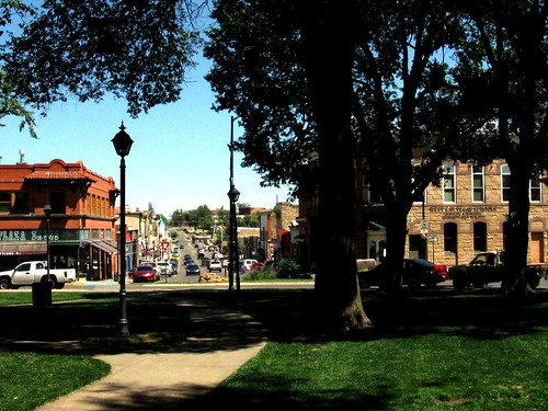
Main Street
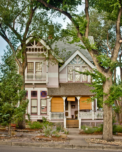
trip newmexico architecture lasvegas roadtrip september residence attorney 2011 carnegiepark johnhill queenannestyle louisfort louisforthouse palliserpalliser patternbookdesign
Louis Fort House: Front View
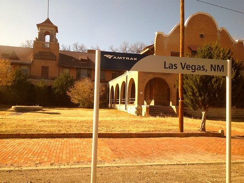
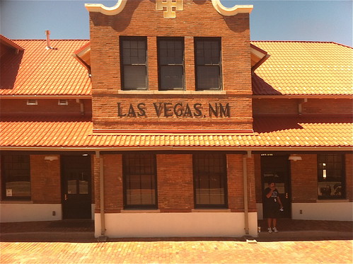
amtrak iphone4s
Views From Amtrak
new sky storm rain hail clouds contrast canon mexico eos thunderstorm severe t3i tornadic supercell
Supercell 2
amtrak southwestchief iphone4
Southwest Chief
newmexico church cemetery grave nm lamanga santoninodeatochachapel
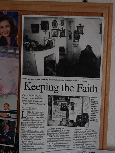
Santo Nino de Atocha Chapel - La Manga, New Mexico
newmexico geotagged us elections2008 guardianus08 geo:lon=105203000000 geo:lat=35621055000
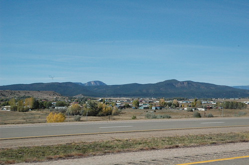
Views from Interstate 25 in northern New Mexico
newmexico geotagged us elections2008 guardianus08 geo:lon=105199110000 geo:lat=35635680000
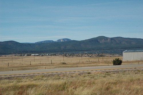
Views from Interstate 25 in northern New Mexico
newmexico geotagged us elections2008 guardianus08 geo:lon=105243263333 geo:lat=35524591667
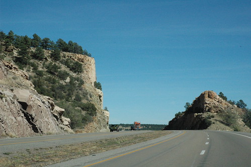
Views from Interstate 25 in northern New Mexico
new sky panorama cloud storm field rain weather hail clouds contrast canon mexico thunderstorm stitched chasing severe t3i tornadic supercell
Supercell 4
travel newmexico square landscape normal iphoneography
New Mexico on the Fly
square squareformat iphoneography instagramapp uploaded:by=instagram foursquare:venue=4f0ec5afe4b0129c74495648
Taking in the beautiful #Landscape while on the #Road to #RedRiver, #NewMexico. #ToBeyond #redrivernm #newmexicotrue #newmexico_igers #ig_unitedstates #unitedstates #states #insta_international #photooftheday #fotooftheday #travel #instatravel #instago
usa newmexico lasvegas 2007
Nr Las Vegas, New Mexico.
train amtrak southwestchief
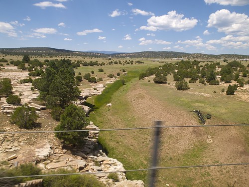
081009-14.46.06
lasvegas theplains nm104 newmexicosantafewinter2010roadtrip
NM 1-0-4 (see it BIG!)
PEEC Birders
Desert Sun
train amtrak southwestchief
081009-15.00.18
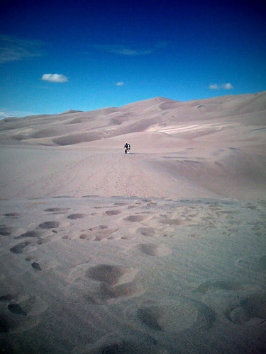
The hike up 650 ft sand dune
Las Vegas
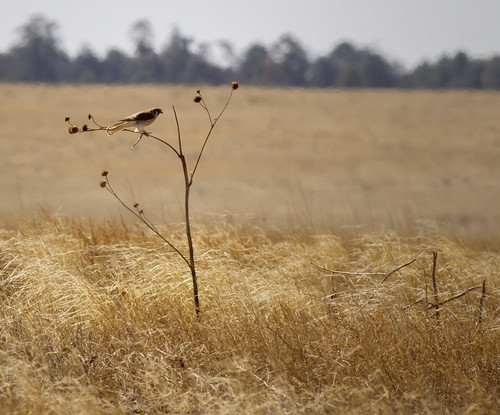
American Kestrel female with snake lunch
AMTK 41 East, Ojita, NM
Las Vegas
uploaded:by=flickrmobile flickriosapp:filter=nofilter
Beautiful NM sunset
Las Vegas
2011 barrycunningham belleburriscunninghamcharlesccunninghamdrjosephmcunninghamhelencunningham2011 cunninghamgravesitegraveyardlasvegasmasoniccemeterynewmexicoroadtripseptembertrip
Masonic Cemetery Panorama #1
Las Vegas
trees blackandwhite snow newmexico fence landscape lasvegas wildliferefuge
las vegas, new mexico
city vacation usa newmexico clock town bell lasvegas urlaub nativeamerican adobe phototrip uhr glocke townscapes housefront indianer stadtbilder hausfront markusrieder mrieder fotoreise lehmziegel usa2010 20101017usa004
Adobe House Front