Elevation of Hot Springs Blvd, Las Vegas, NM, USA
Location: United States > New Mexico > Las Vegas >
Longitude: -105.22978
Latitude: 35.5954083
Elevation: 1970m / 6463feet
Barometric Pressure: 80KPa
Elevation Map:
Satellite Map:
Related Photos:
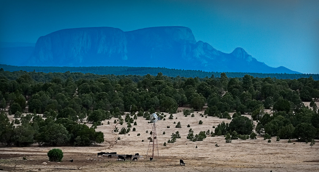
hermit's peak
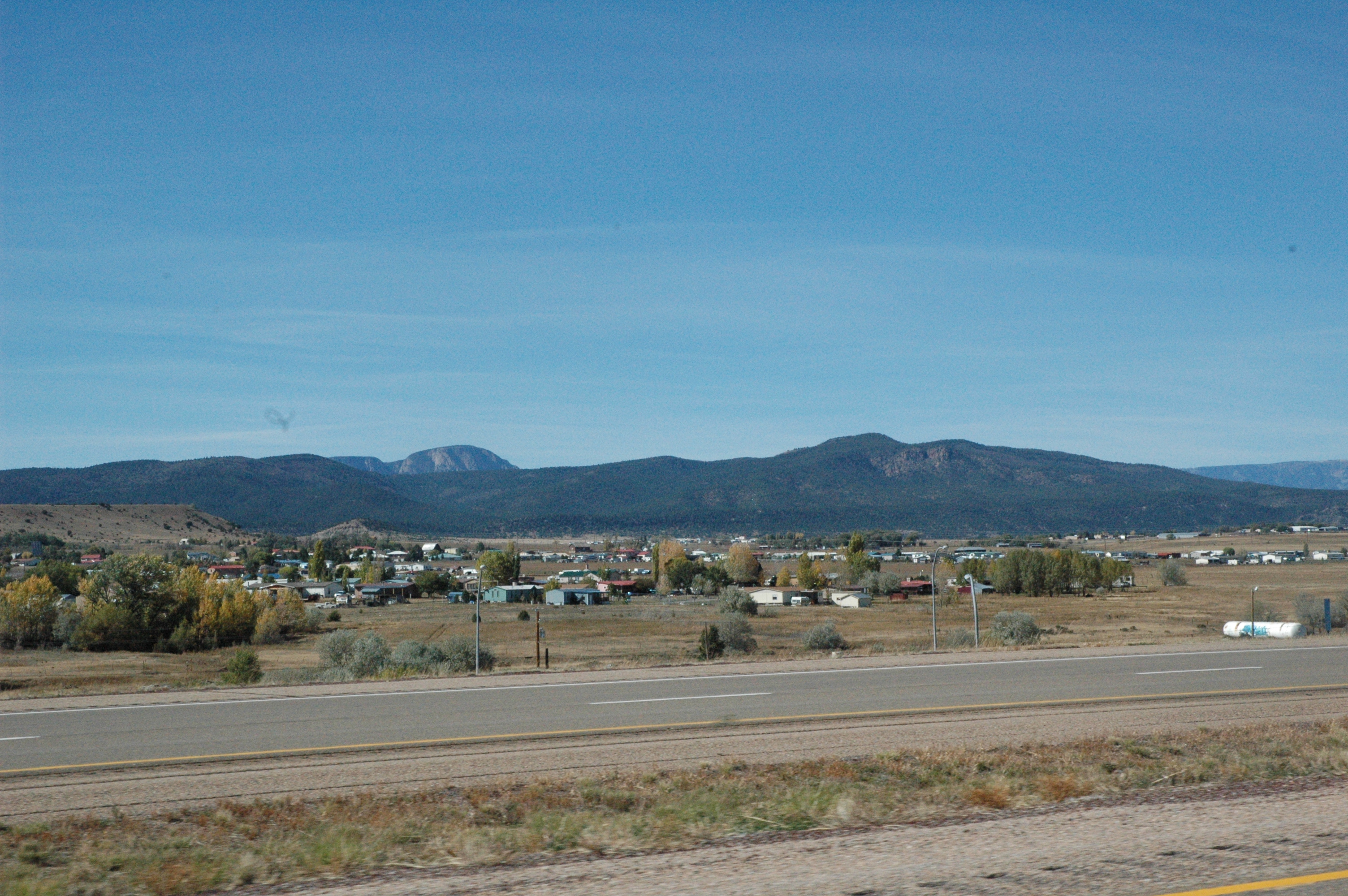
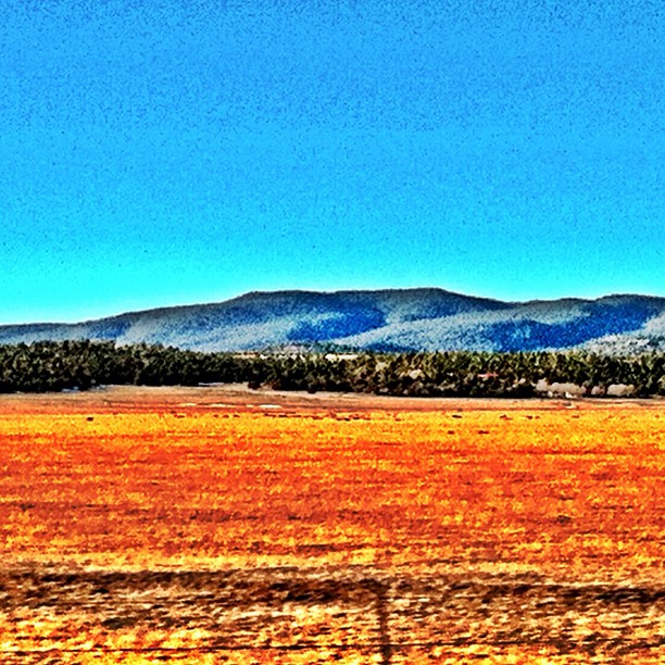
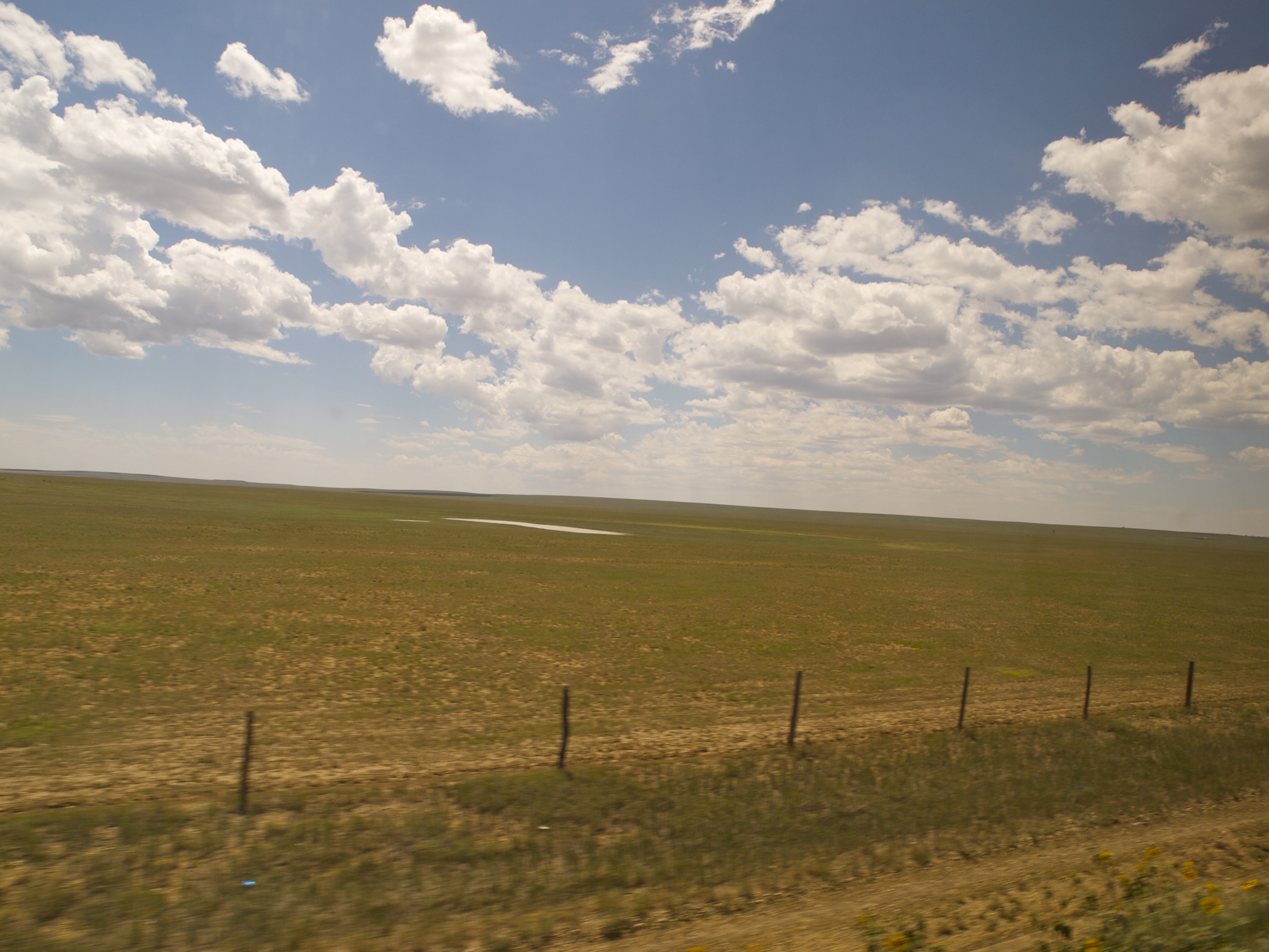
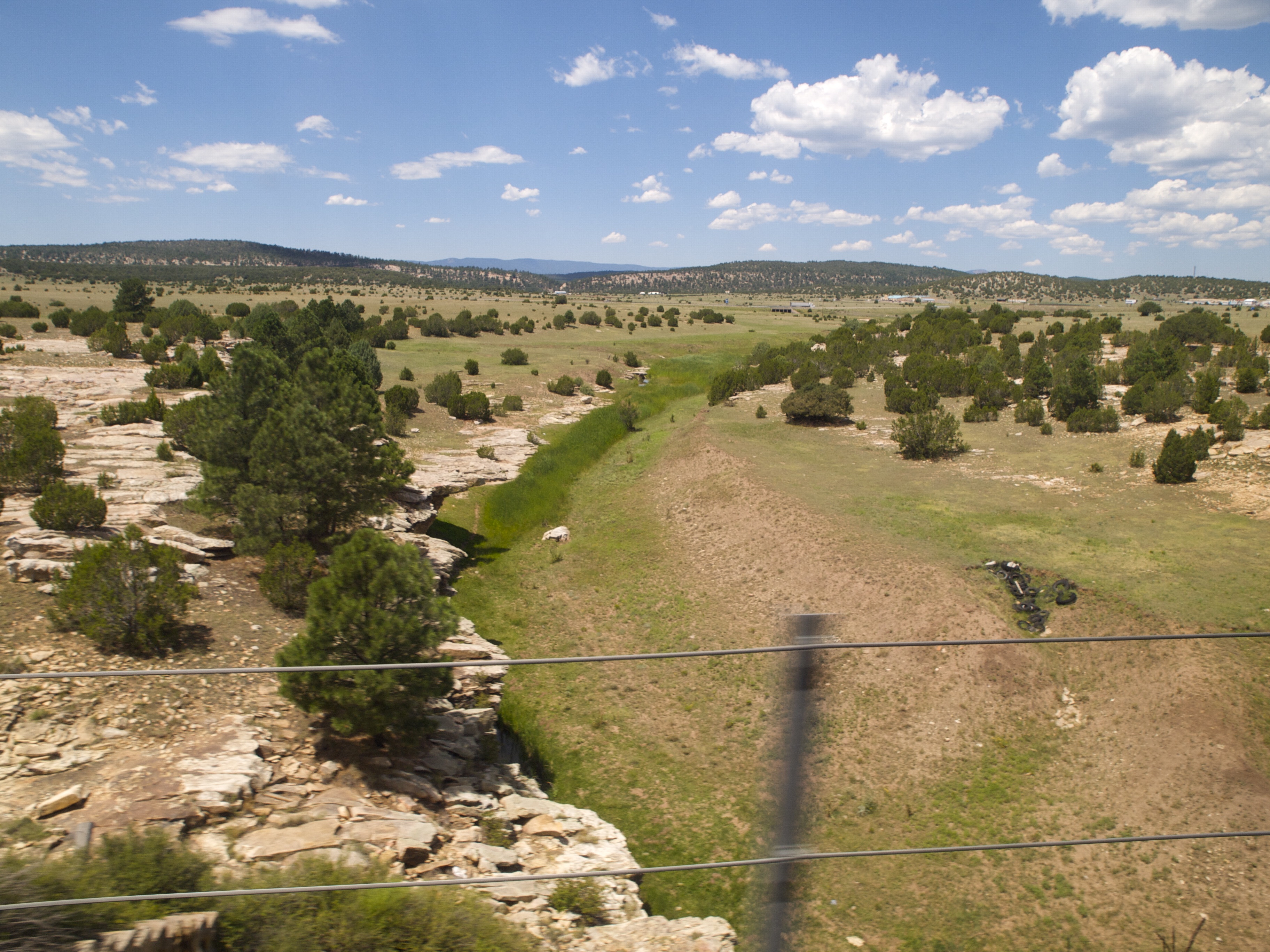
Views from Interstate 25 in northern New Mexico
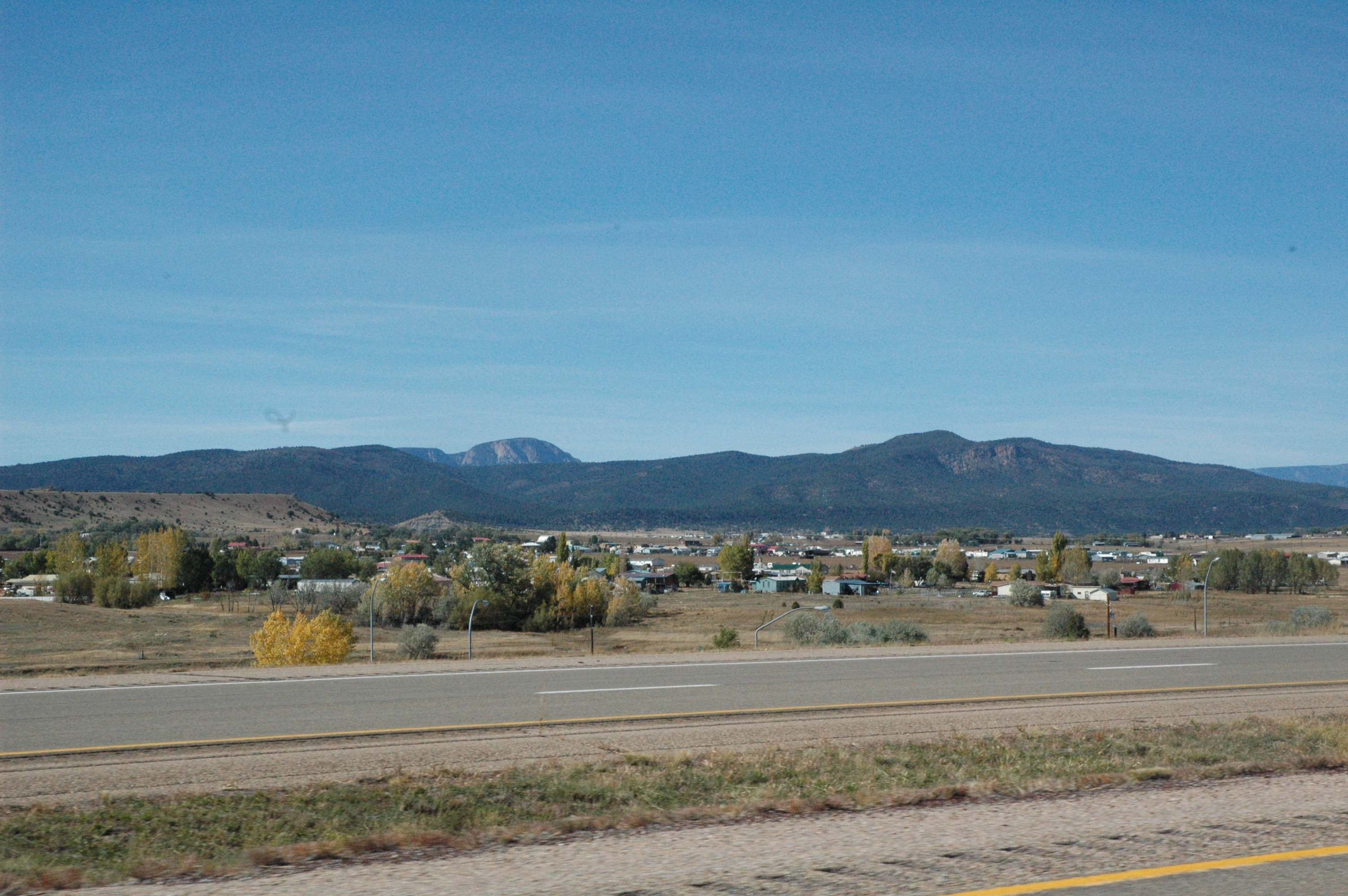
Views from Interstate 25 in northern New Mexico
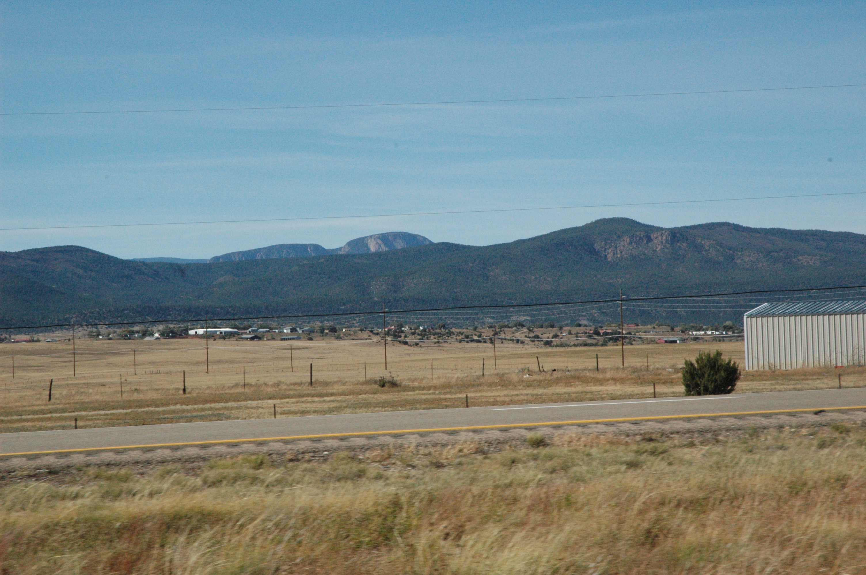
Views from Interstate 25 in northern New Mexico
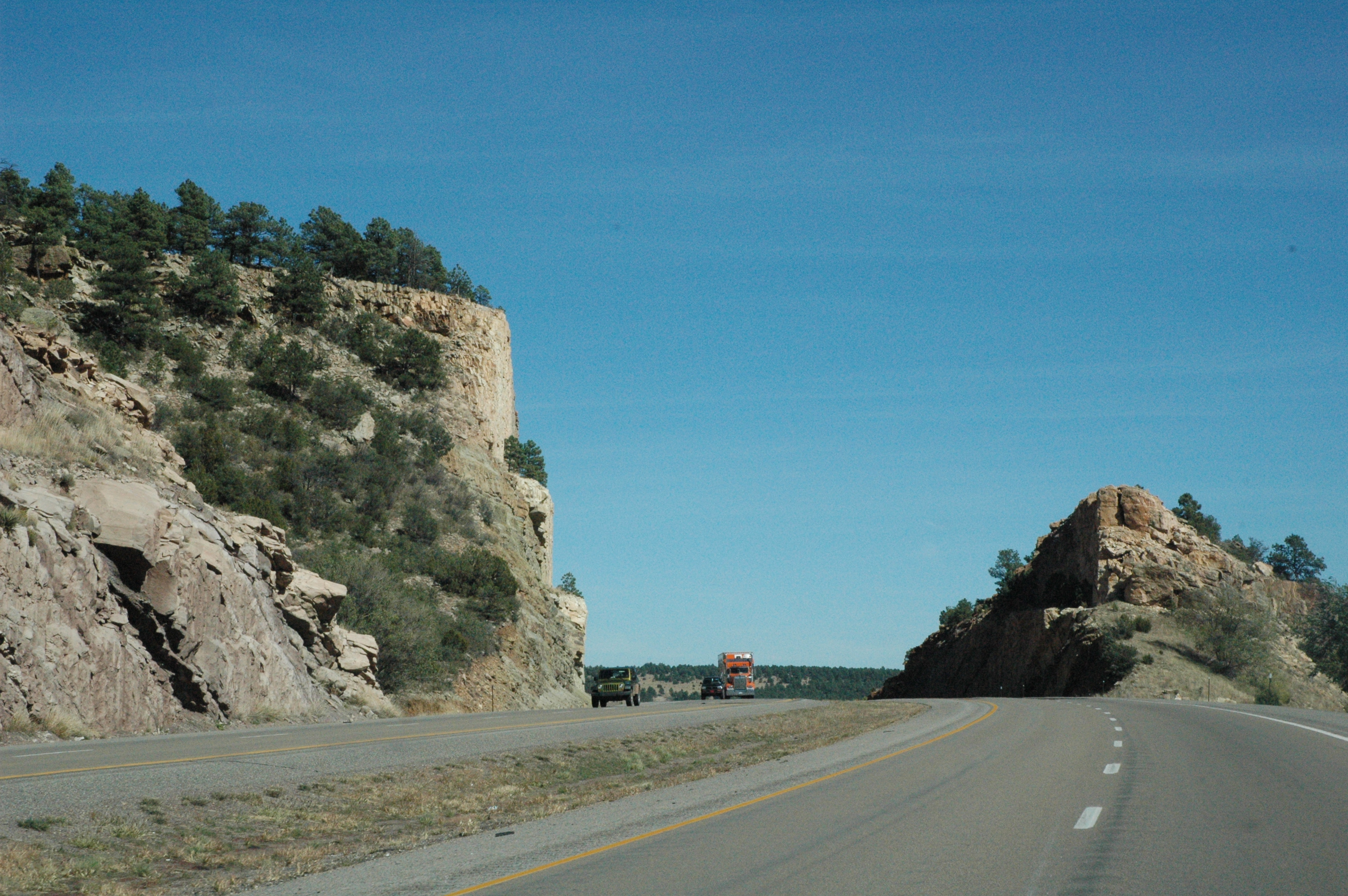
Views from Interstate 25 in northern New Mexico
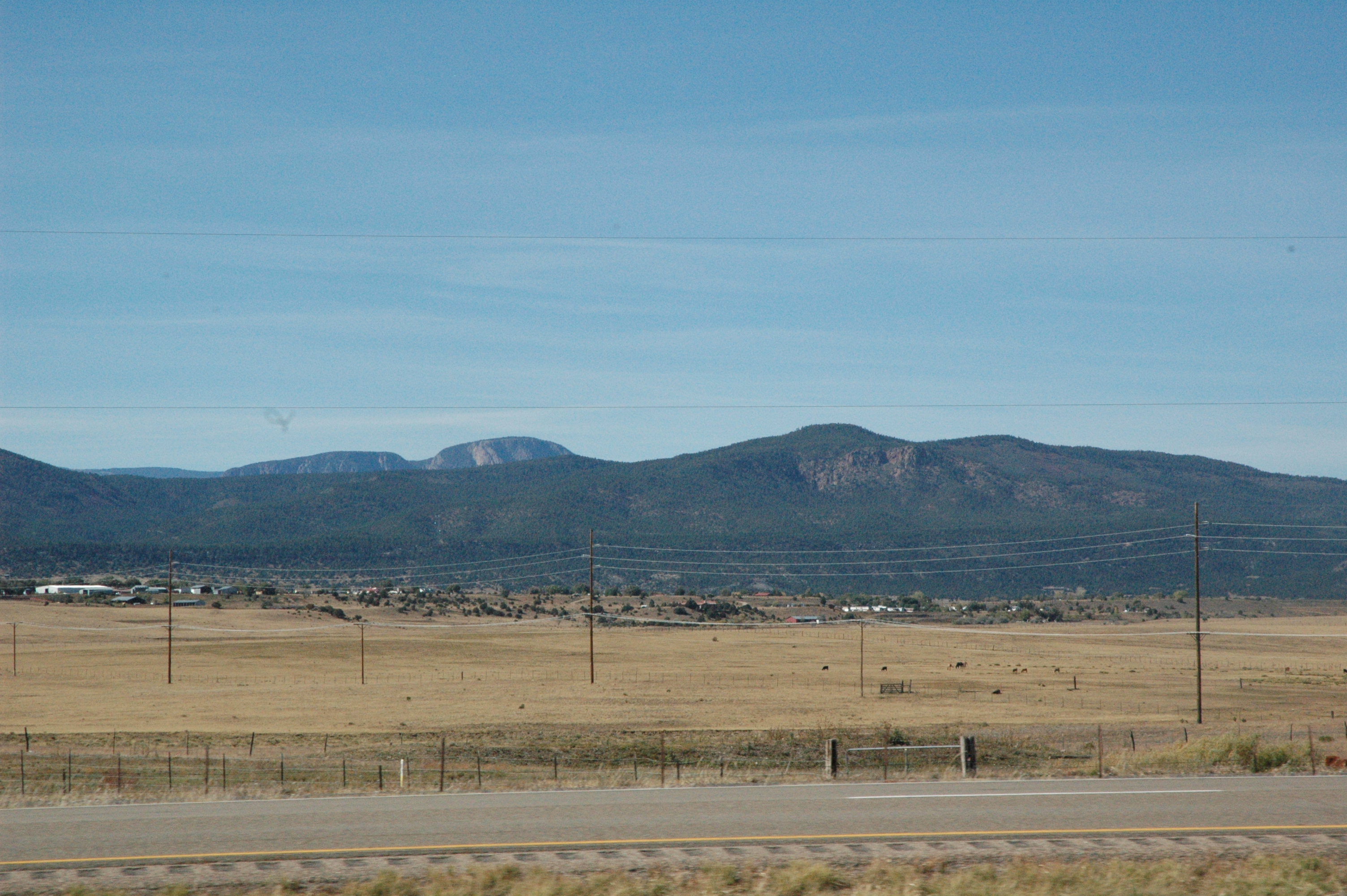
Views from Interstate 25 in northern New Mexico
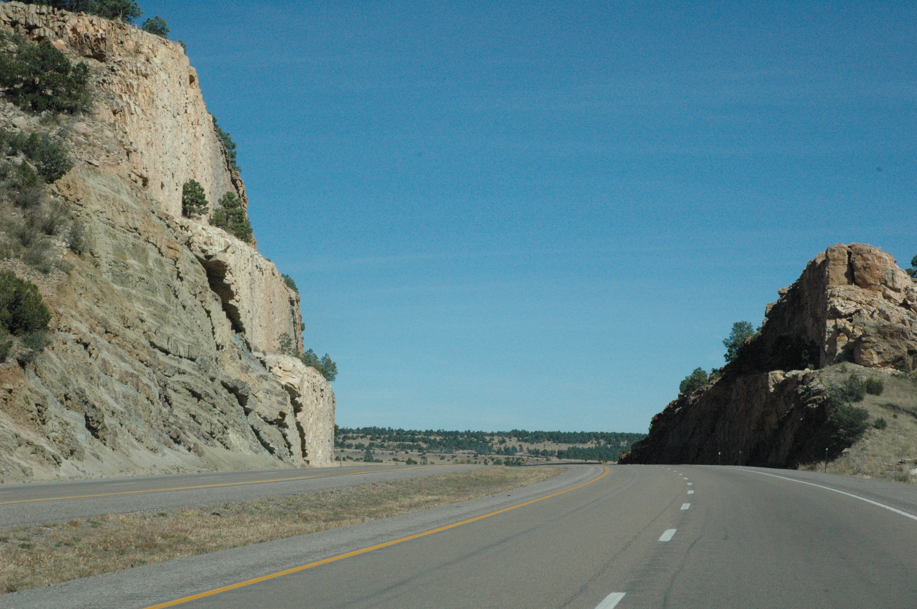
Views from Interstate 25 in northern New Mexico

adornos de navidad
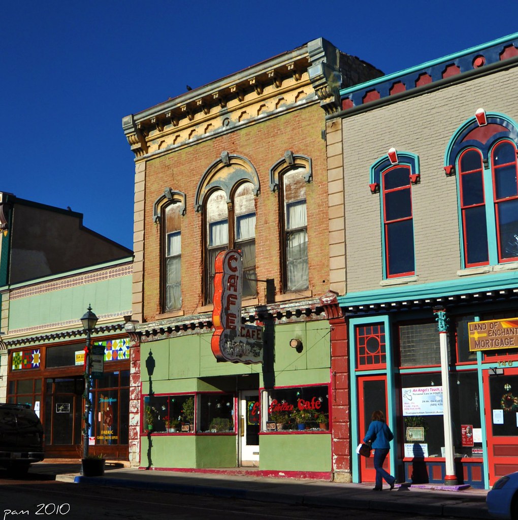
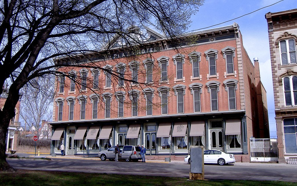
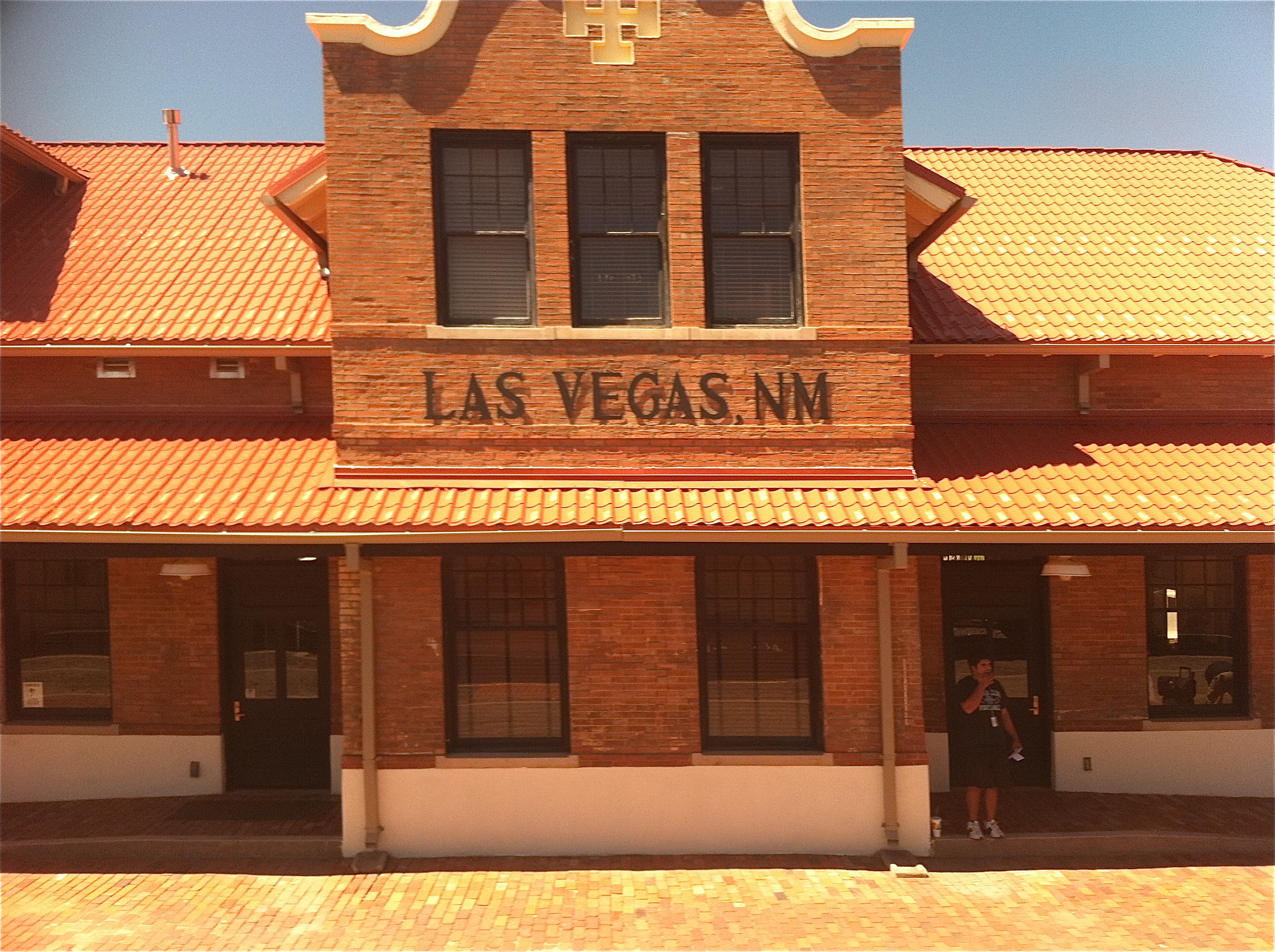
Main Street Facades

mis dientes pequeños
Another birthday in America!

¡feliz cumpleaños!

Louis Fort House

view from a park bench
follow me down

Serf Cowboys Rock

Main Street
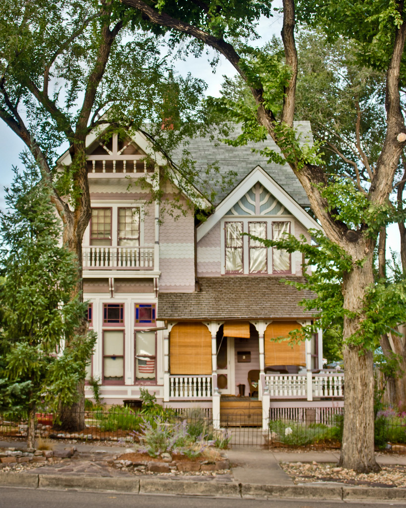
Louis Fort House: Front View
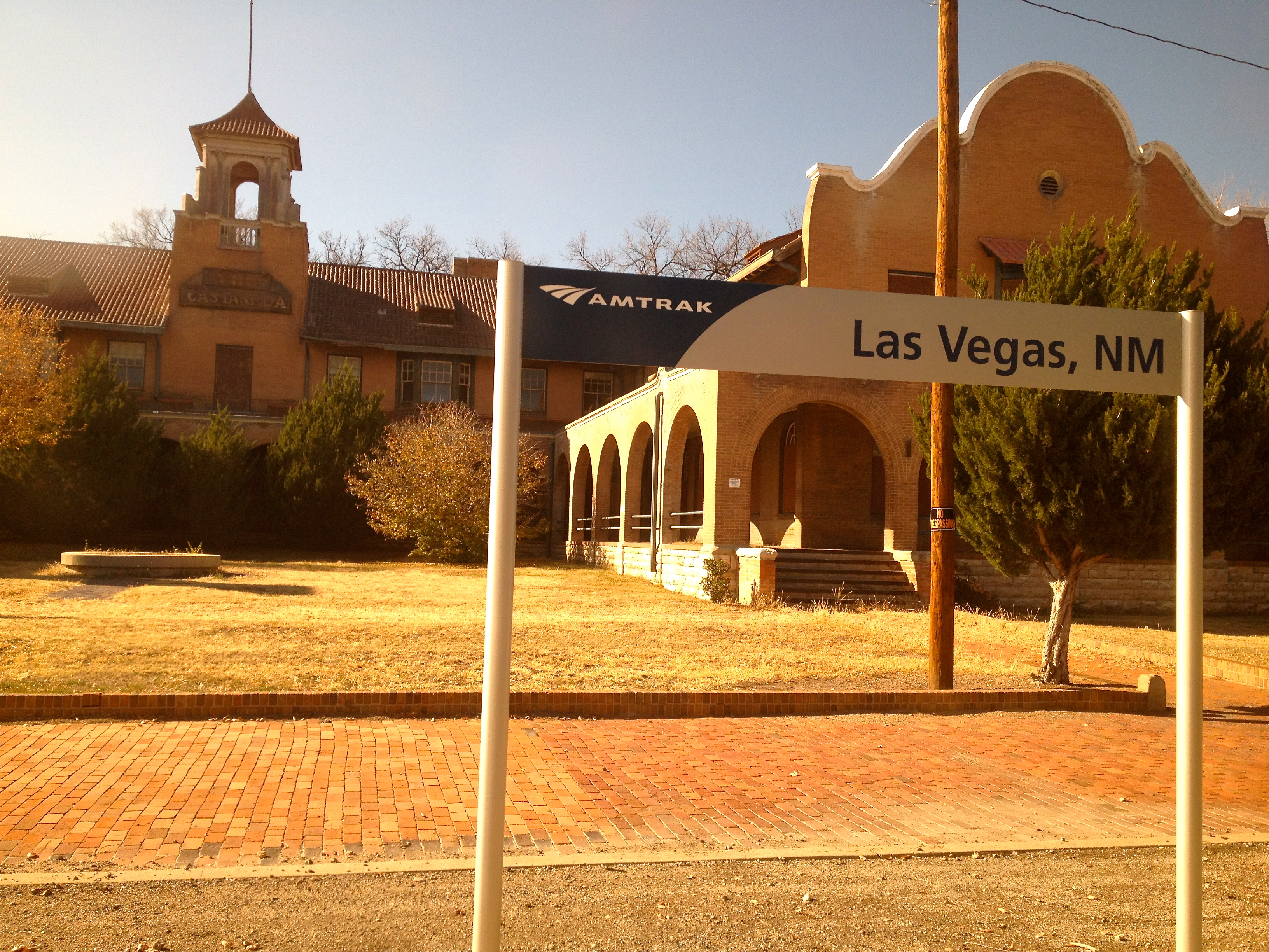
Views From Amtrak

Supercell 2
Southwest Chief
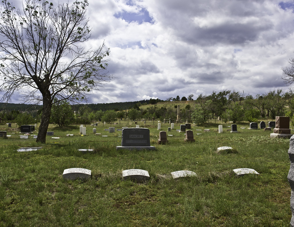
Masonic Cemetery Panorama #1
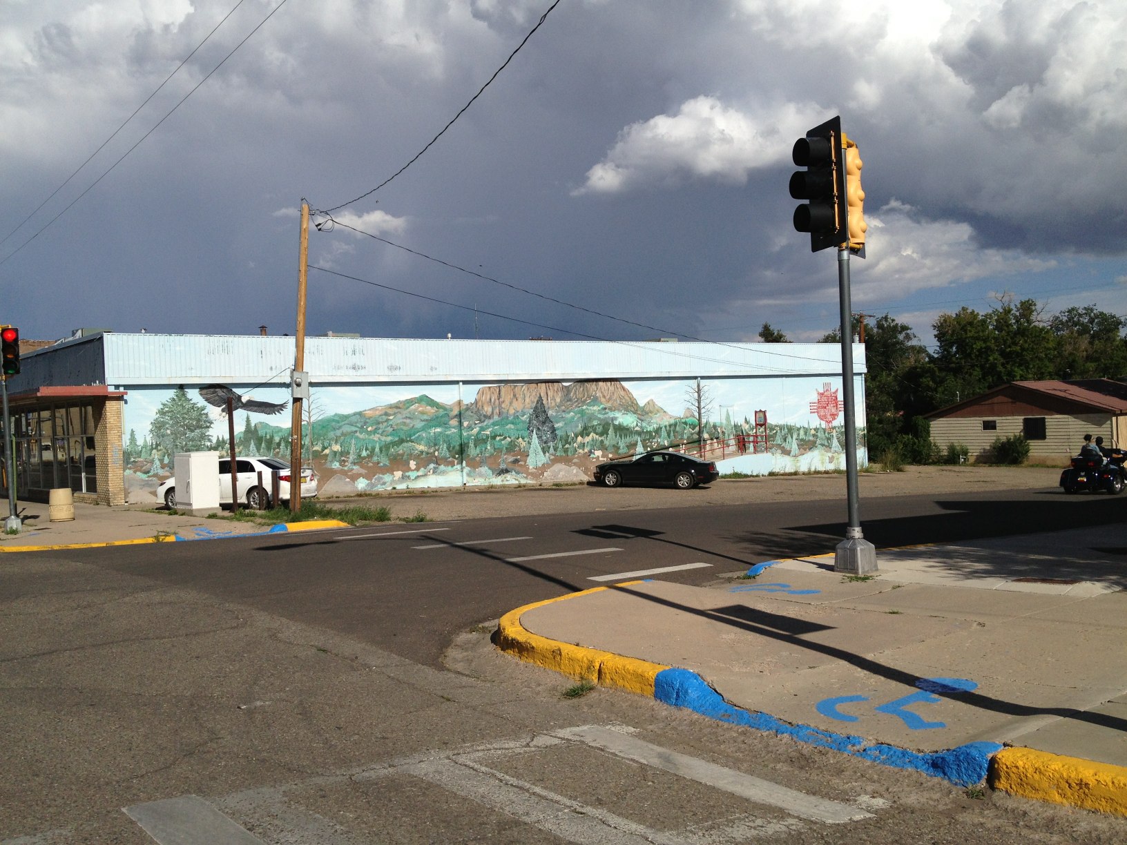
Mural and clouds
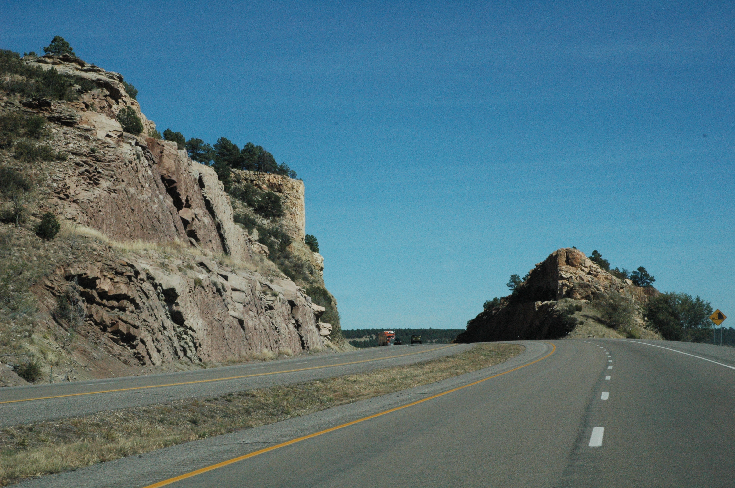
Views from Interstate 25 in northern New Mexico

Amtrak 207, Tecolote, NM

Supercell 4
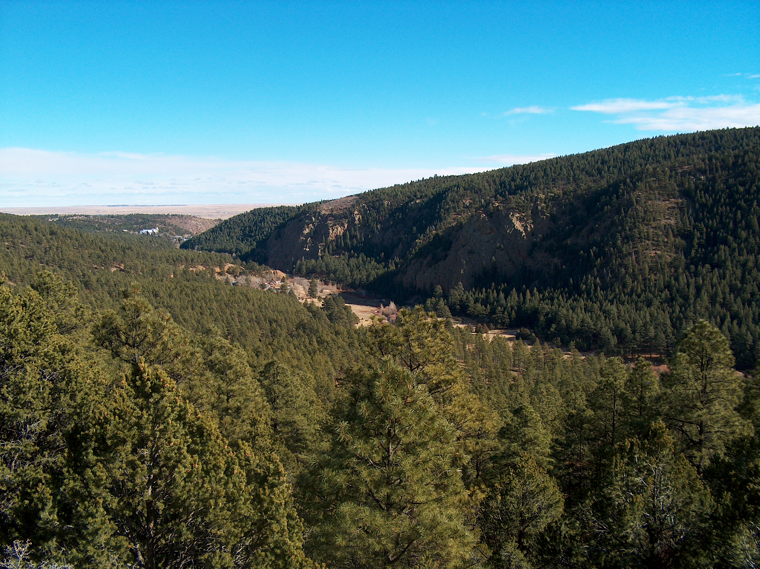
New Mexico on the Fly

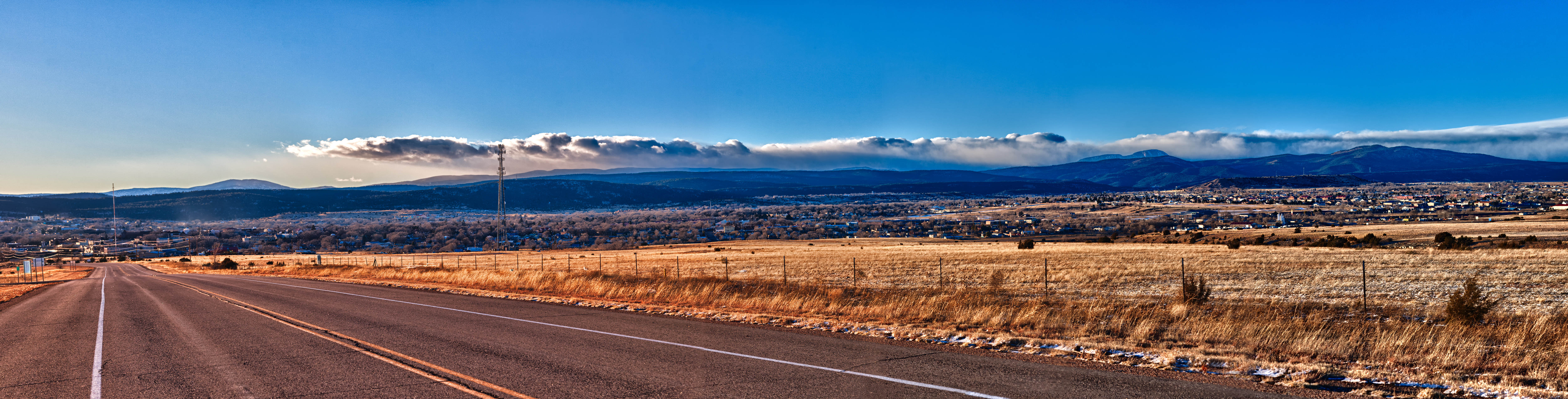
Nr Las Vegas, New Mexico.
081009-14.46.06
Las Vegas
NM 1-0-4 (see it BIG!)
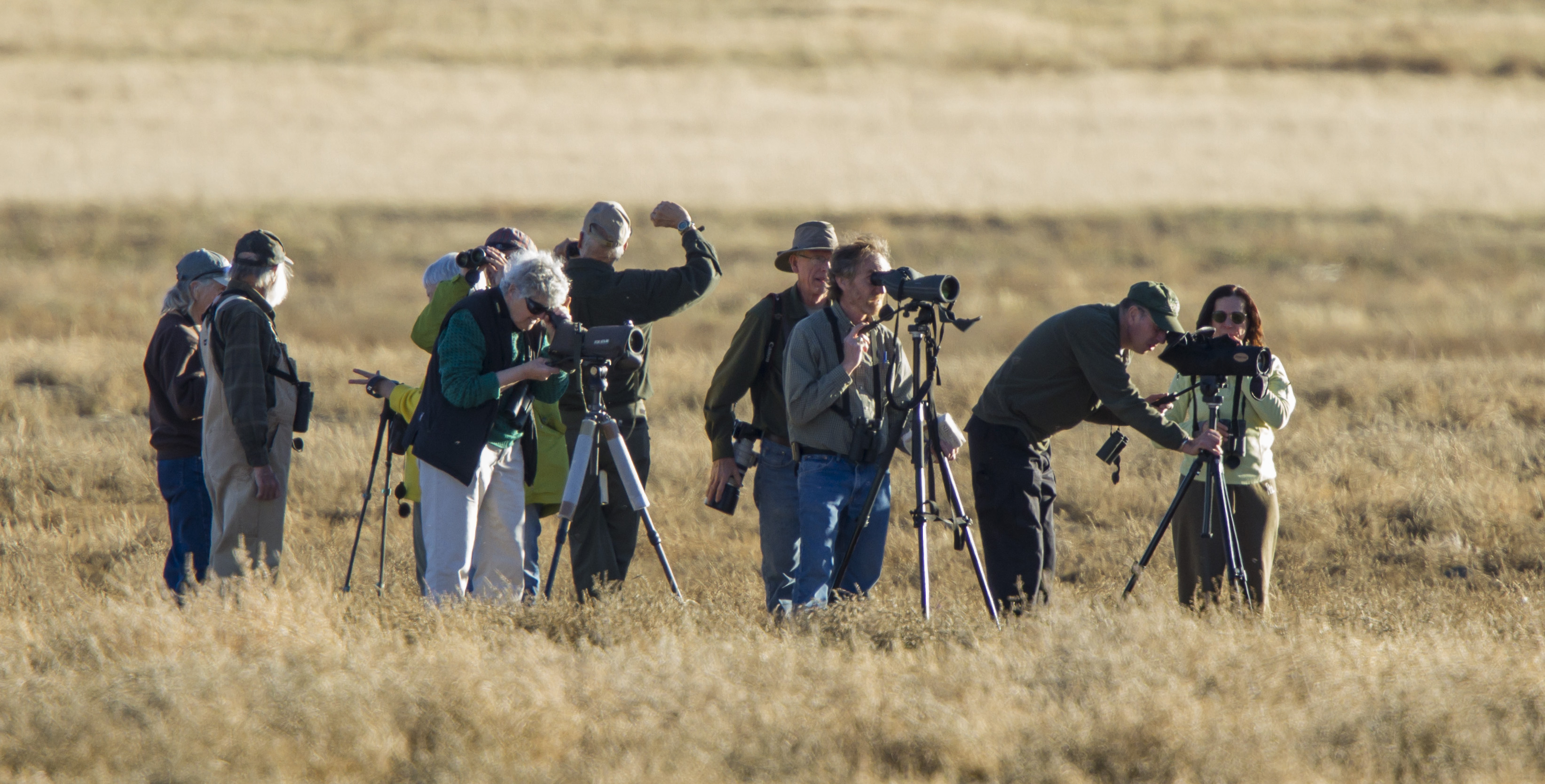
PEEC Birders

Desert Sun
081009-15.00.18
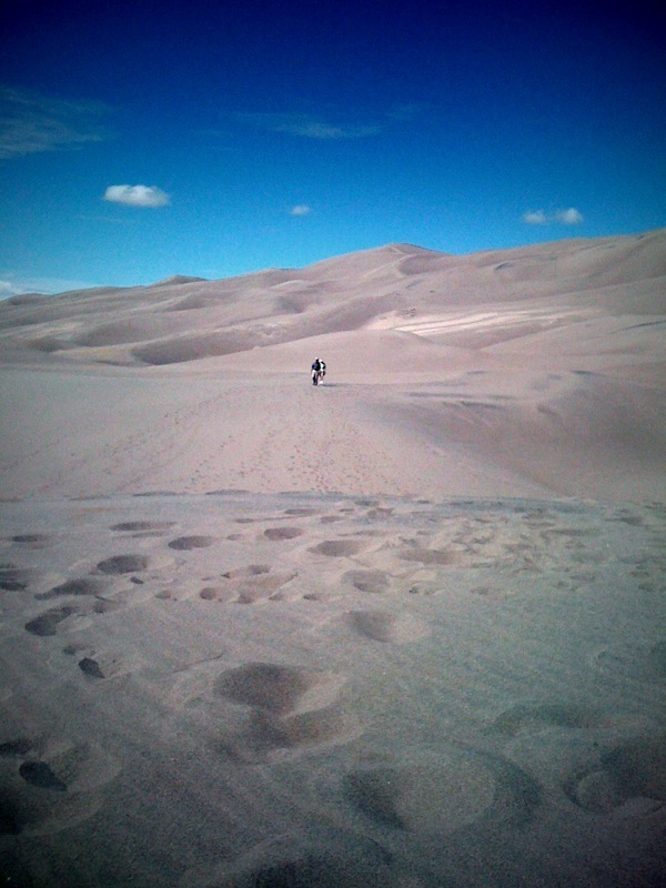
The hike up 650 ft sand dune
Las Vegas
Topographic Map of Hot Springs Blvd, Las Vegas, NM, USA
Find elevation by address:

Places near Hot Springs Blvd, Las Vegas, NM, USA:
2213 Hot Springs Blvd
Bridge Street
Las Vegas
12th St & Jackson St
12th St & Jackson St
12th St & Jackson St
New Mexico Highlands University
407 11th St
407 11th St
407 11th St
407 11th St
1051 6th St
931 Jackson St
600 Grand Ave
Cinder Road River Walk
East Las Vegas
Las Vegas Nm
2504 Calle Eldorado
104 Legion Dr
407 Cinder Rd
Recent Searches:
- Elevation of Corso Fratelli Cairoli, 35, Macerata MC, Italy
- Elevation of Tallevast Rd, Sarasota, FL, USA
- Elevation of 4th St E, Sonoma, CA, USA
- Elevation of Black Hollow Rd, Pennsdale, PA, USA
- Elevation of Oakland Ave, Williamsport, PA, USA
- Elevation of Pedrógão Grande, Portugal
- Elevation of Klee Dr, Martinsburg, WV, USA
- Elevation of Via Roma, Pieranica CR, Italy
- Elevation of Tavkvetili Mountain, Georgia
- Elevation of Hartfords Bluff Cir, Mt Pleasant, SC, USA