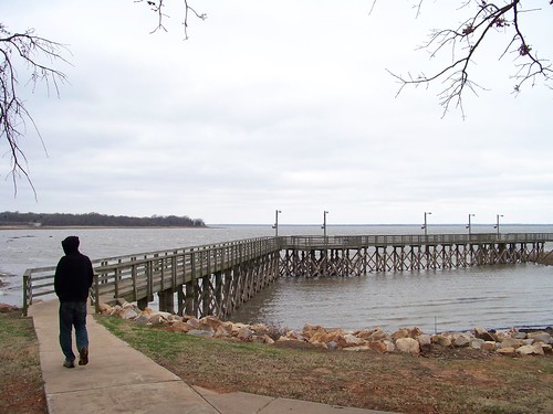
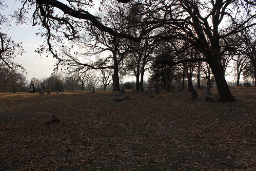
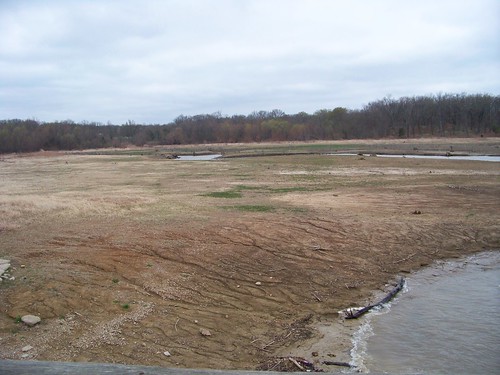
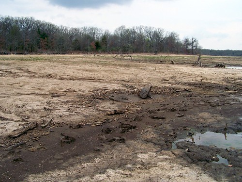
Elevation of F R 64 W, Pecan Gap, TX, USA
Location: United States > Texas > Delta County > Pecan Gap >
Longitude: -95.800628
Latitude: 33.378414
Elevation: 158m / 518feet
Barometric Pressure: 99KPa
Related Photos:
Topographic Map of F R 64 W, Pecan Gap, TX, USA
Find elevation by address:

Places near F R 64 W, Pecan Gap, TX, USA:
Farm Rd, Pecan Gap, TX, USA
Delta County
Pecan Gap
F R, Ben Franklin, TX, USA
Ben Franklin
FM, Ladonia, TX, USA
Cooper
FM, Commerce, TX, USA
FM, Honey Grove, TX, USA
FM 71, Sulphur Springs, TX, USA
FM, Honey Grove, TX, USA
Ladonia
FM, Lake Creek, TX, USA
State Loop, Commerce, TX, USA
Commerce
Co Rd, Commerce, TX, USA
FM, Ladonia, TX, USA
Roxton
FM, Ladonia, TX, USA
Pr, Ladonia, TX, USA
Recent Searches:
- Elevation of Corso Fratelli Cairoli, 35, Macerata MC, Italy
- Elevation of Tallevast Rd, Sarasota, FL, USA
- Elevation of 4th St E, Sonoma, CA, USA
- Elevation of Black Hollow Rd, Pennsdale, PA, USA
- Elevation of Oakland Ave, Williamsport, PA, USA
- Elevation of Pedrógão Grande, Portugal
- Elevation of Klee Dr, Martinsburg, WV, USA
- Elevation of Via Roma, Pieranica CR, Italy
- Elevation of Tavkvetili Mountain, Georgia
- Elevation of Hartfords Bluff Cir, Mt Pleasant, SC, USA

