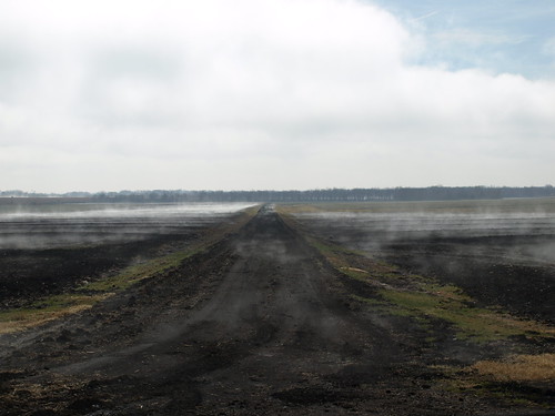
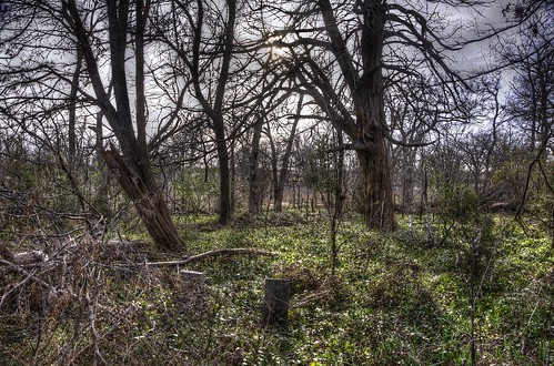
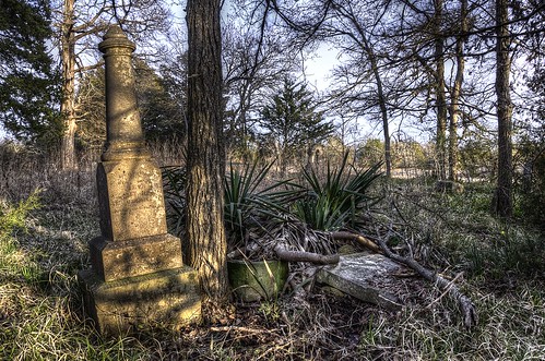
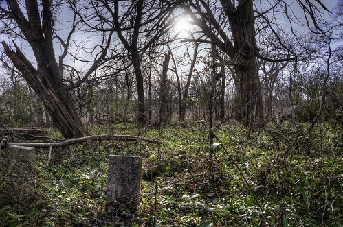
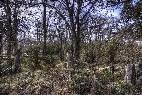
Elevation of FM, Ladonia, TX, USA
Location: United States > Texas > Fannin County > Ladonia >
Longitude: -95.978363
Latitude: 33.35398
Elevation: 184m / 604feet
Barometric Pressure: 99KPa
Related Photos:
Topographic Map of FM, Ladonia, TX, USA
Find elevation by address:

Places near FM, Ladonia, TX, USA:
Co Rd, Commerce, TX, USA
County Road 4617
FM, Commerce, TX, USA
Ladonia
Wolfe City
105 Hanna St
605 Manson St
1530 Co Rd 4816
Wolfe City High School
FM, Ladonia, TX, USA
FM, Ladonia, TX, USA
Pr, Ladonia, TX, USA
State Loop, Commerce, TX, USA
Commerce
FM, Ladonia, TX, USA
E Fm, Ladonia, TX, USA
Co Rd, Greenville, TX, USA
Pecan Gap
FM 68, Wolfe City, TX, USA
Co Rd, Windom, TX, USA
Recent Searches:
- Elevation of Corso Fratelli Cairoli, 35, Macerata MC, Italy
- Elevation of Tallevast Rd, Sarasota, FL, USA
- Elevation of 4th St E, Sonoma, CA, USA
- Elevation of Black Hollow Rd, Pennsdale, PA, USA
- Elevation of Oakland Ave, Williamsport, PA, USA
- Elevation of Pedrógão Grande, Portugal
- Elevation of Klee Dr, Martinsburg, WV, USA
- Elevation of Via Roma, Pieranica CR, Italy
- Elevation of Tavkvetili Mountain, Georgia
- Elevation of Hartfords Bluff Cir, Mt Pleasant, SC, USA
