Elevation of Co Rd, Commerce, TX, USA
Location: United States > Texas > Hunt County > Commerce >
Longitude: -95.957509
Latitude: 33.313189
Elevation: 170m / 558feet
Barometric Pressure: 99KPa
Elevation Map:
Satellite Map:
Related Photos:

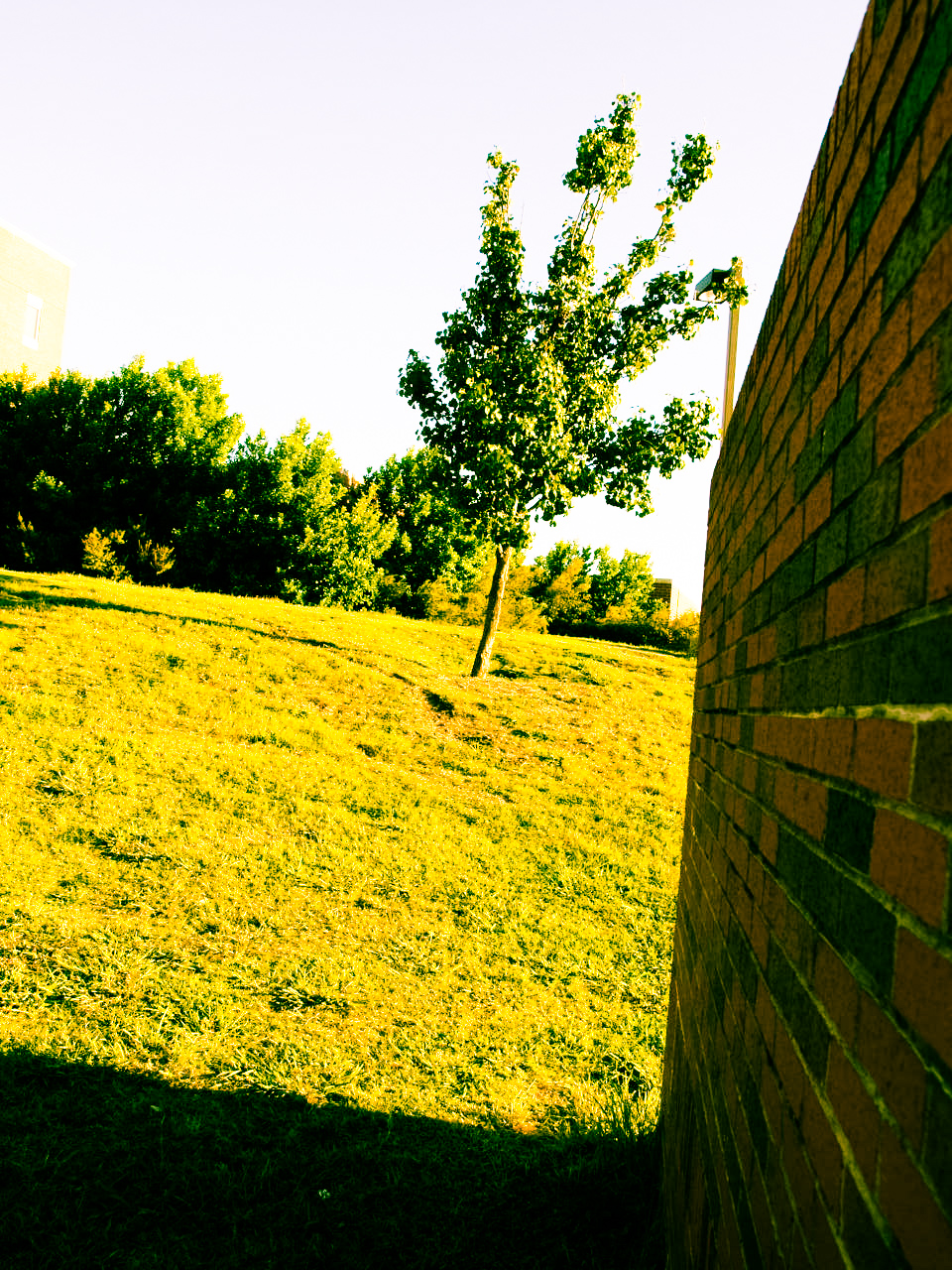
Window views

Science of Angles
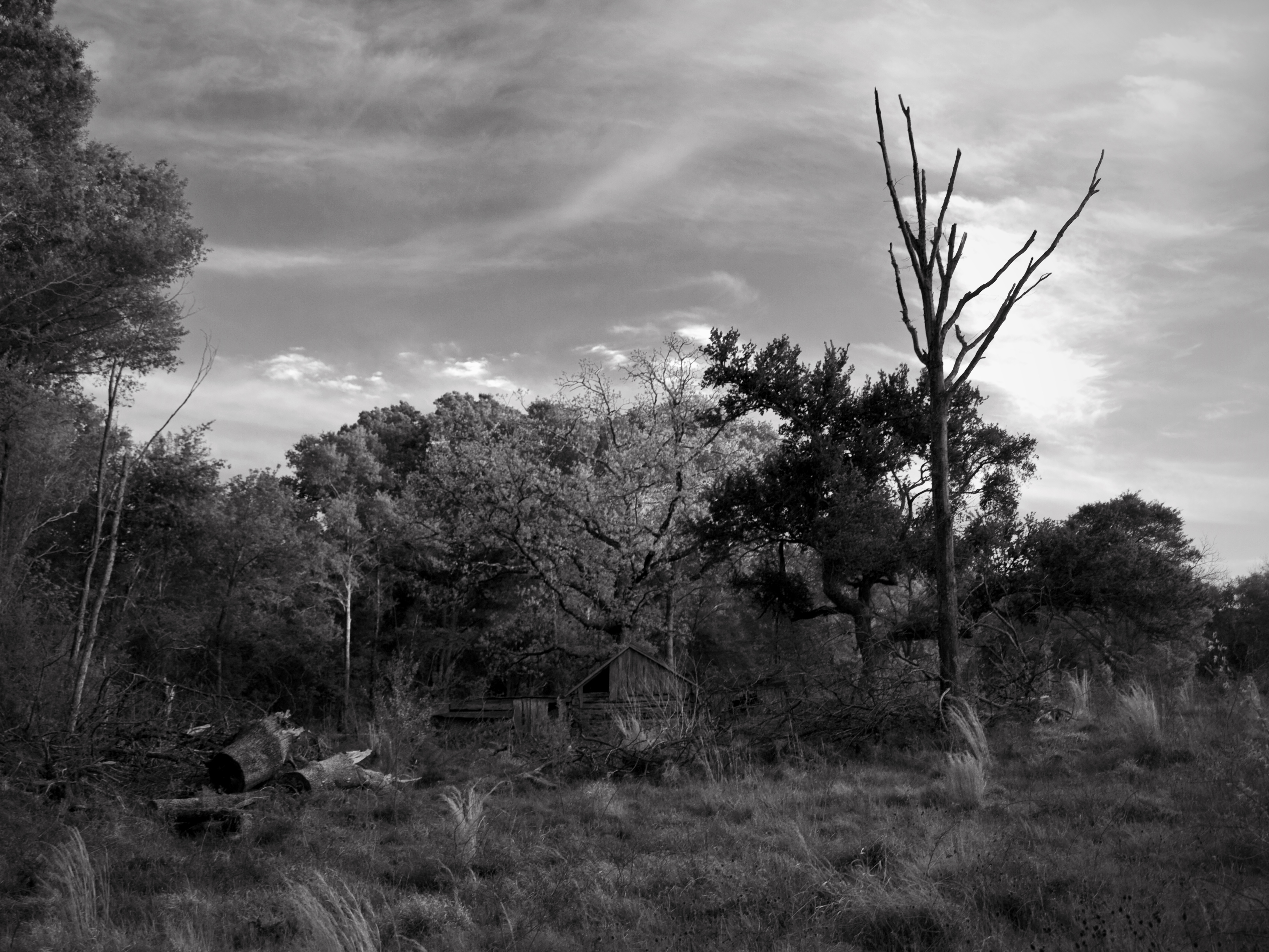
Winter's Rest
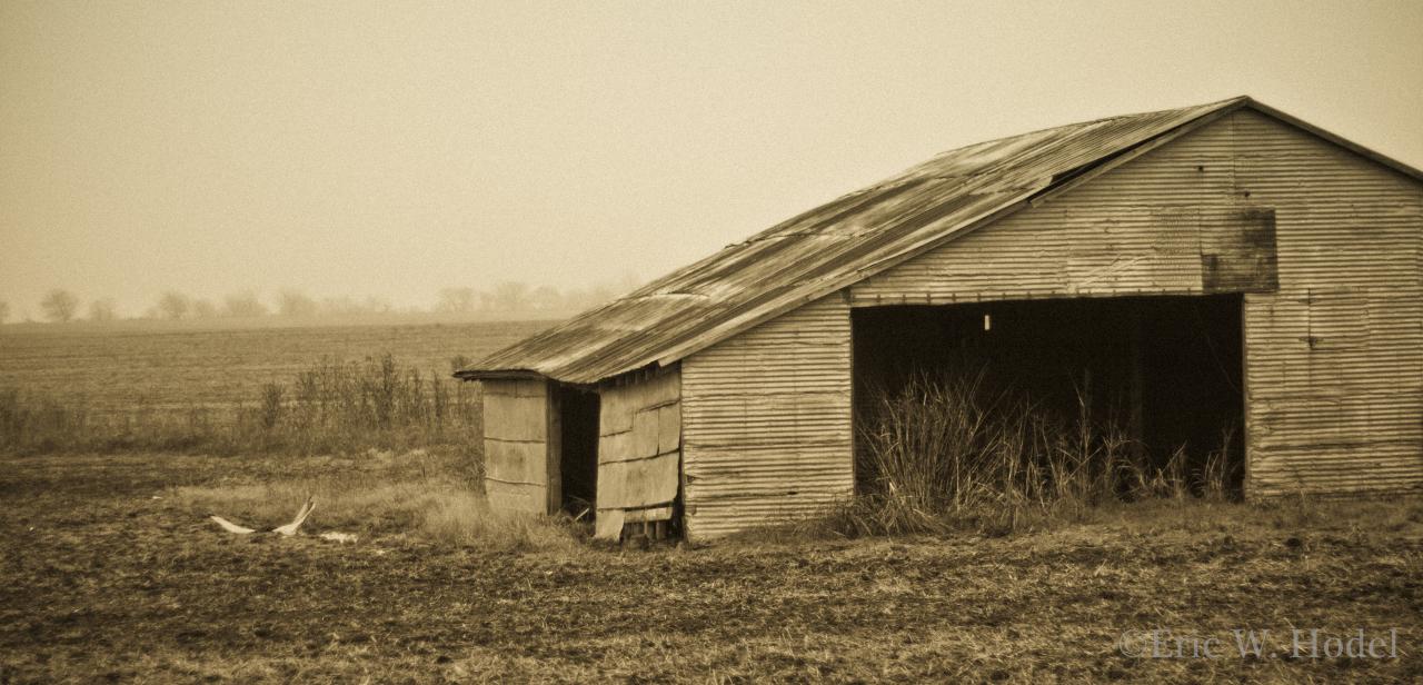
Tucked Away

Scientific Variety
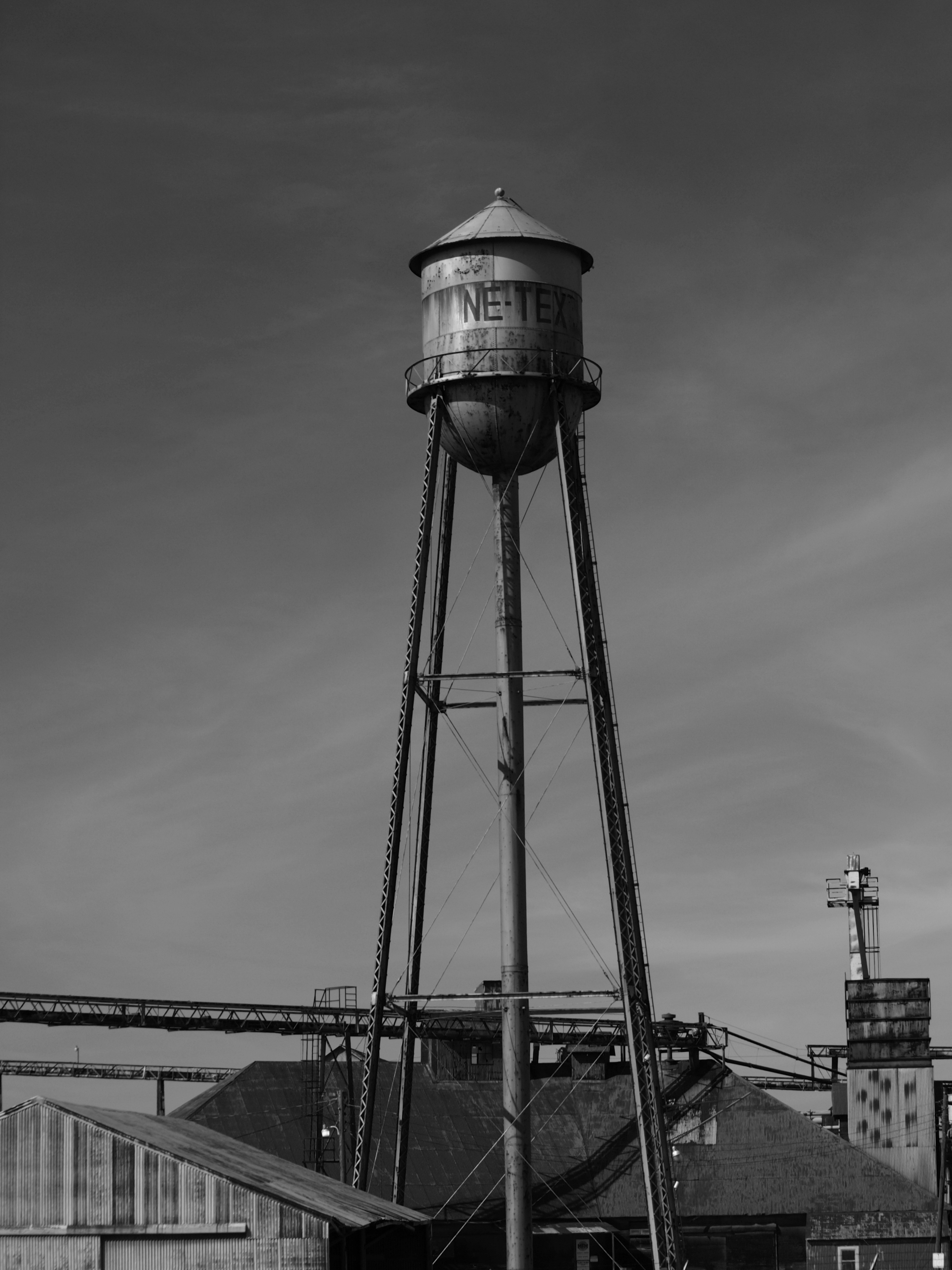
NE TEX tower
P1018873.jpg

Forgotten Grave

Can we fly away....

Painted sky

Forgotten Graves
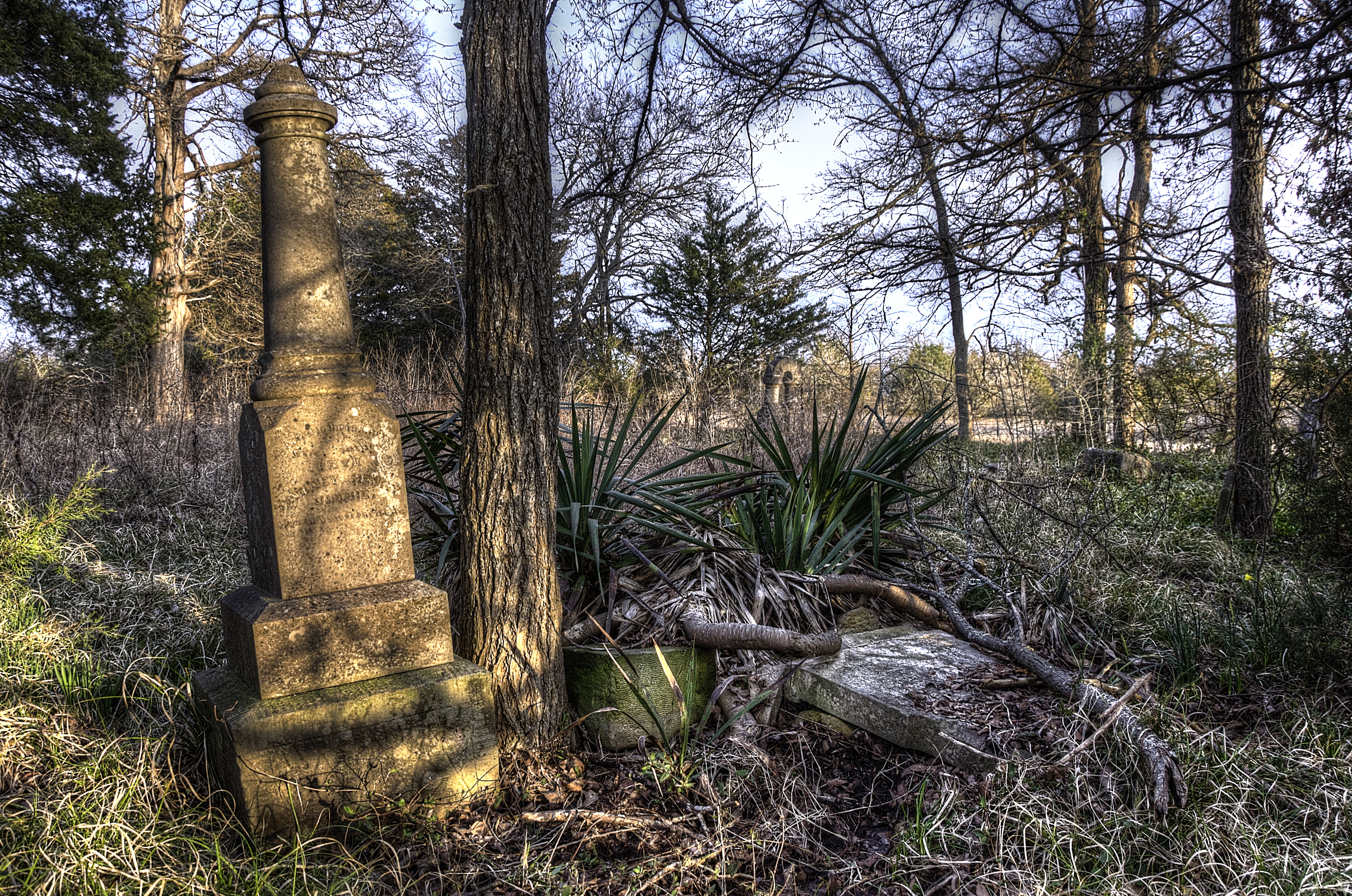
Forgotten Grave
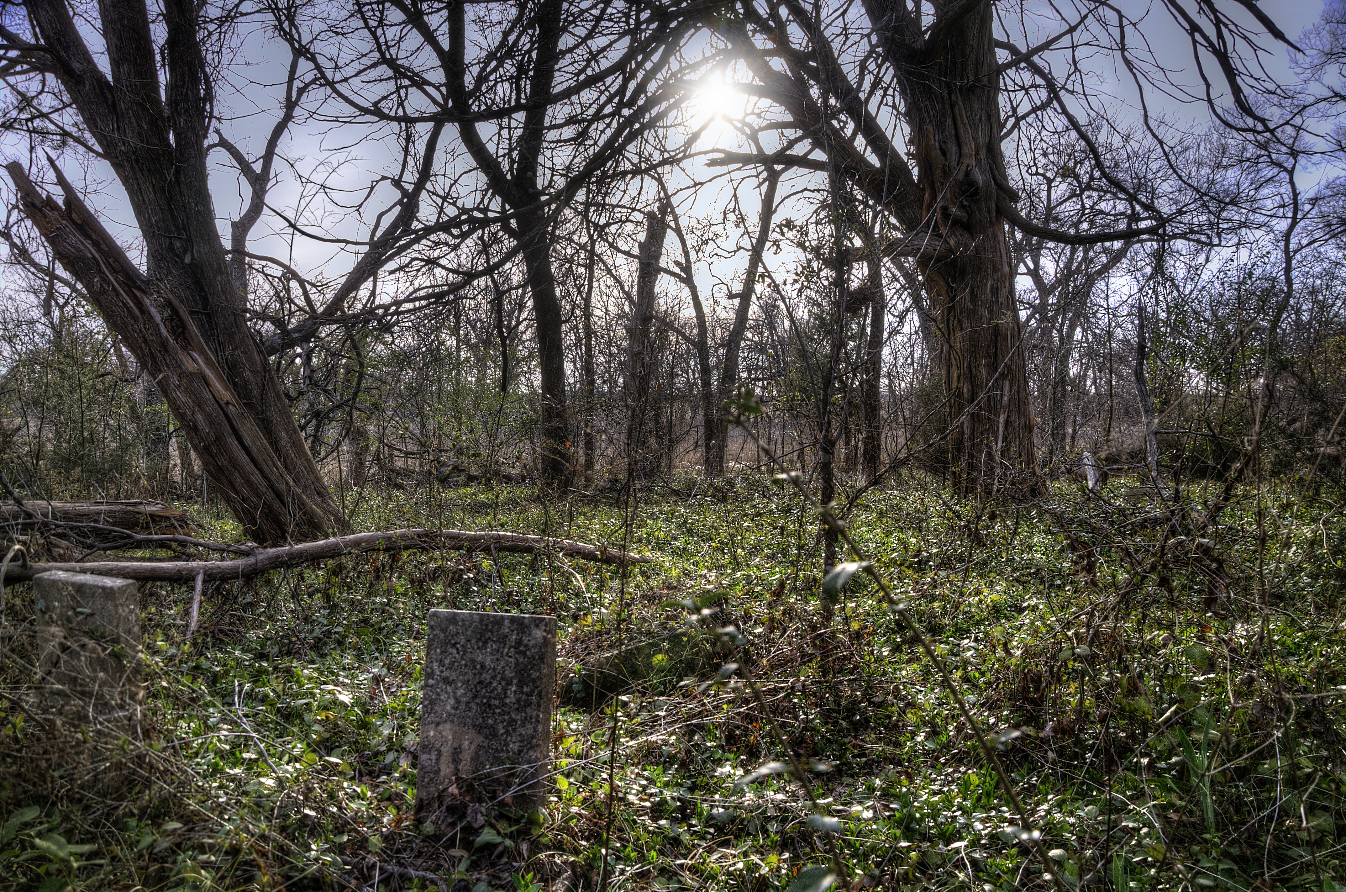
Forgotten Graves

Forgotten Graves
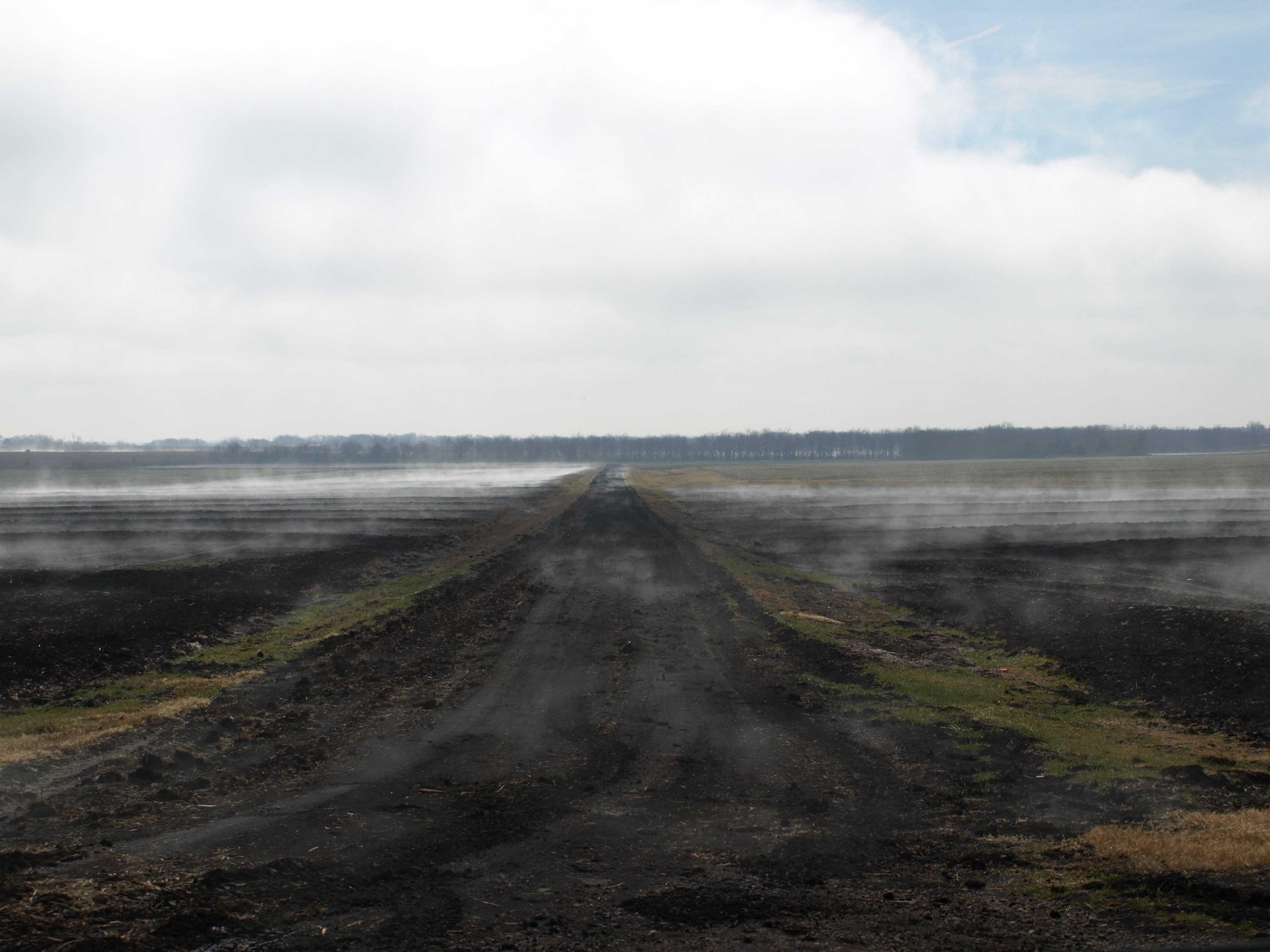
Foggy Road

Forgotten Graves
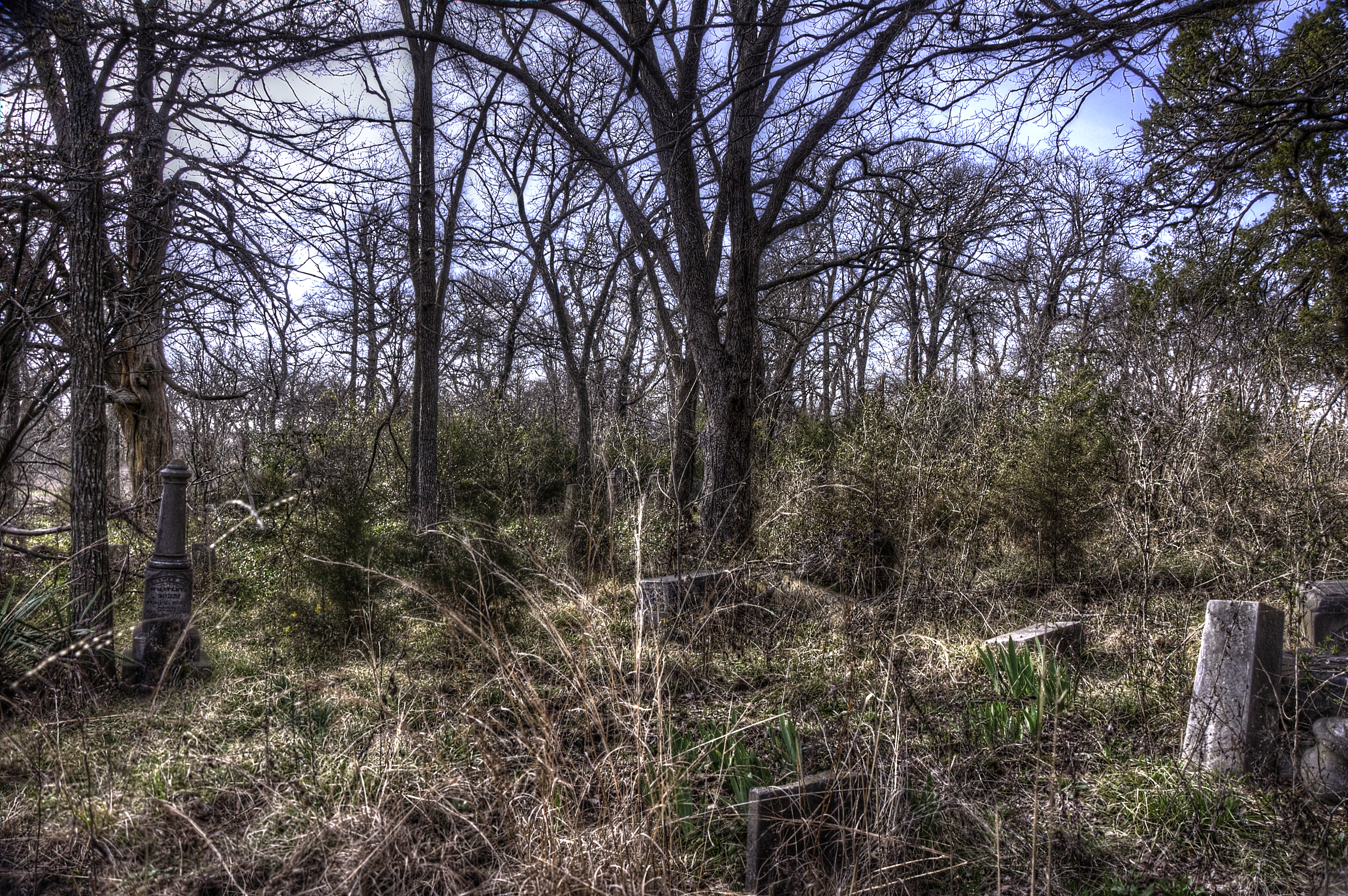
Forgotten Graves

Waxing Crescent Moon
Topographic Map of Co Rd, Commerce, TX, USA
Find elevation by address:

Places near Co Rd, Commerce, TX, USA:
FM, Commerce, TX, USA
FM, Ladonia, TX, USA
County Road 4617
State Loop, Commerce, TX, USA
Commerce
Ladonia
1530 Co Rd 4816
605 Manson St
Wolfe City
105 Hanna St
Wolfe City High School
Co Rd, Greenville, TX, USA
FM, Ladonia, TX, USA
FM, Ladonia, TX, USA
Campbell
Pecan Gap
F R 64 W, Pecan Gap, TX, USA
Pr, Ladonia, TX, USA
FM, Ladonia, TX, USA
E Fm, Ladonia, TX, USA
Recent Searches:
- Elevation of Corso Fratelli Cairoli, 35, Macerata MC, Italy
- Elevation of Tallevast Rd, Sarasota, FL, USA
- Elevation of 4th St E, Sonoma, CA, USA
- Elevation of Black Hollow Rd, Pennsdale, PA, USA
- Elevation of Oakland Ave, Williamsport, PA, USA
- Elevation of Pedrógão Grande, Portugal
- Elevation of Klee Dr, Martinsburg, WV, USA
- Elevation of Via Roma, Pieranica CR, Italy
- Elevation of Tavkvetili Mountain, Georgia
- Elevation of Hartfords Bluff Cir, Mt Pleasant, SC, USA