Elevation of Delta County, TX, USA
Location: United States > Texas >
Longitude: -95.772120
Latitude: 33.3493128
Elevation: 152m / 499feet
Barometric Pressure: 100KPa
Elevation Map:
Satellite Map:
Related Photos:

My Way...
sunrise at Cooper Lake
2016-03-01_07-19-47

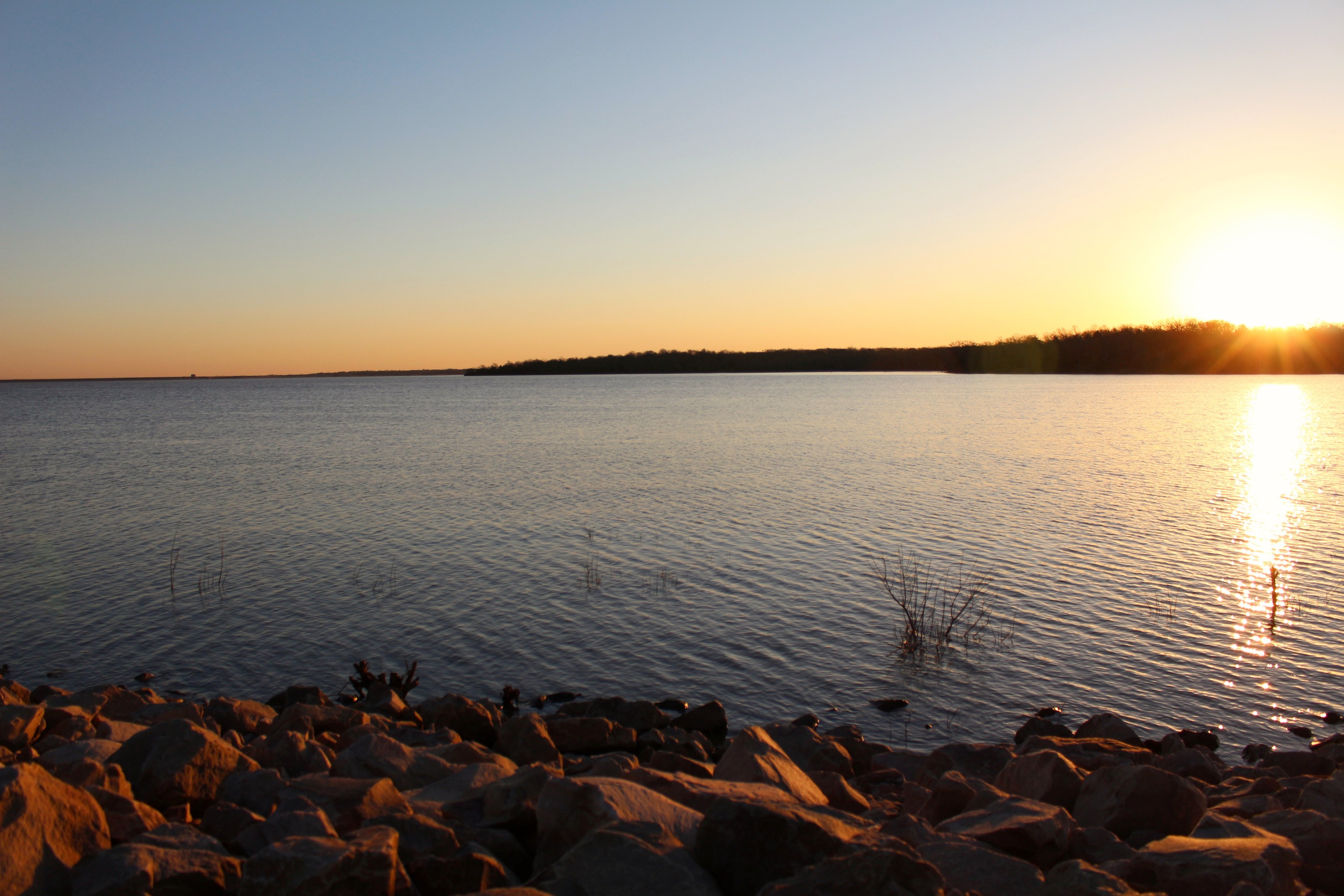
sunset at Eagle Point

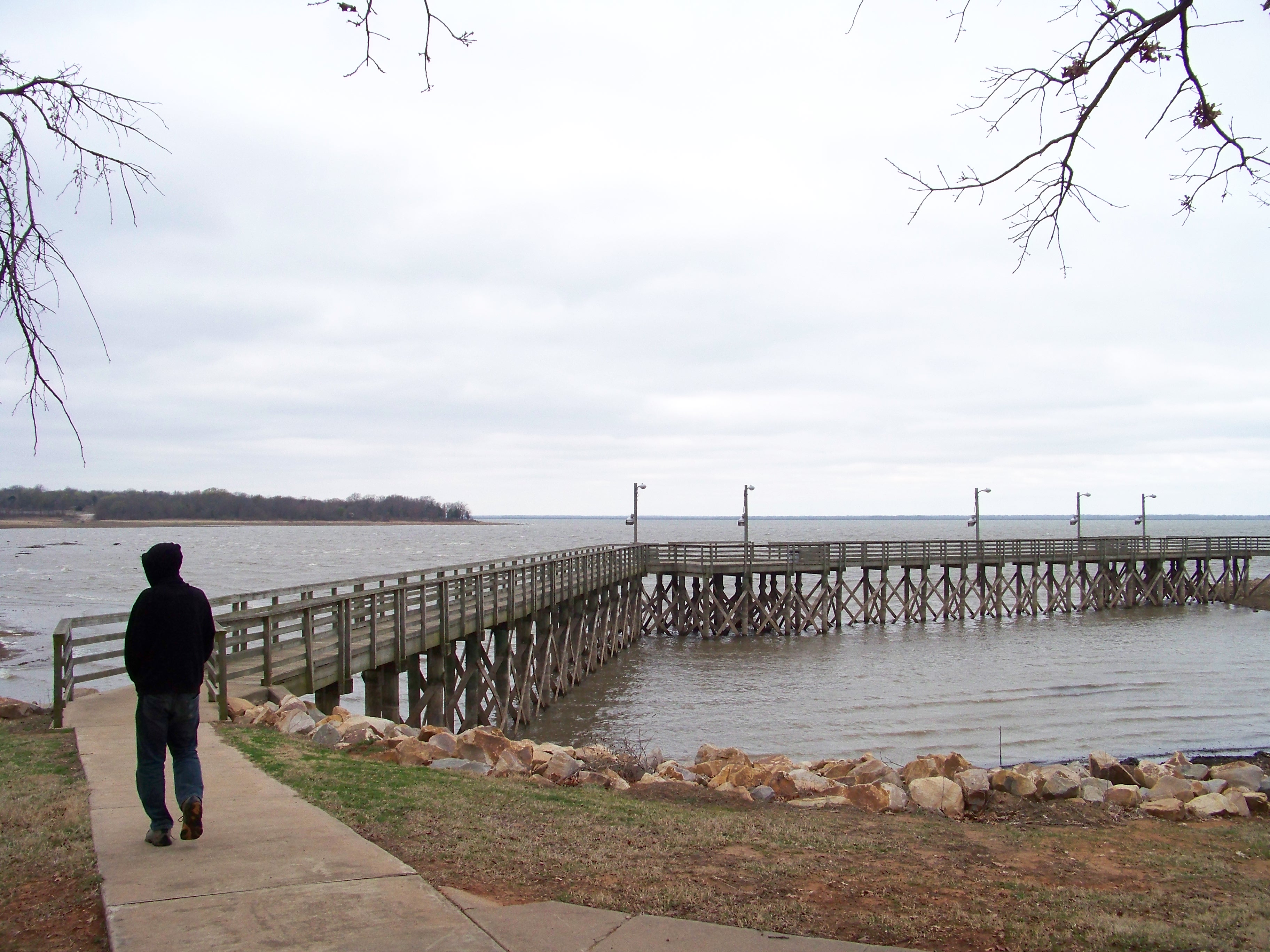
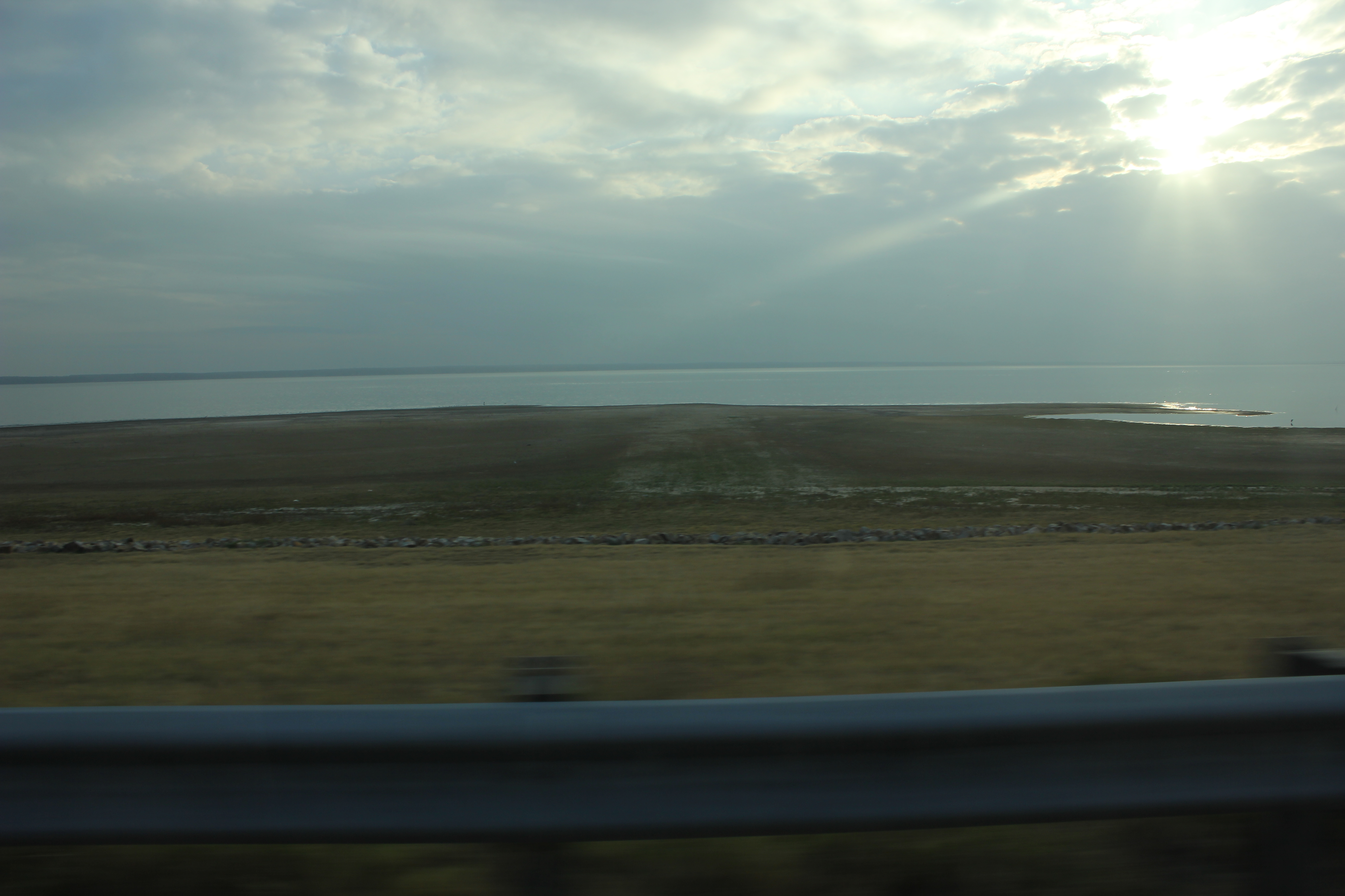
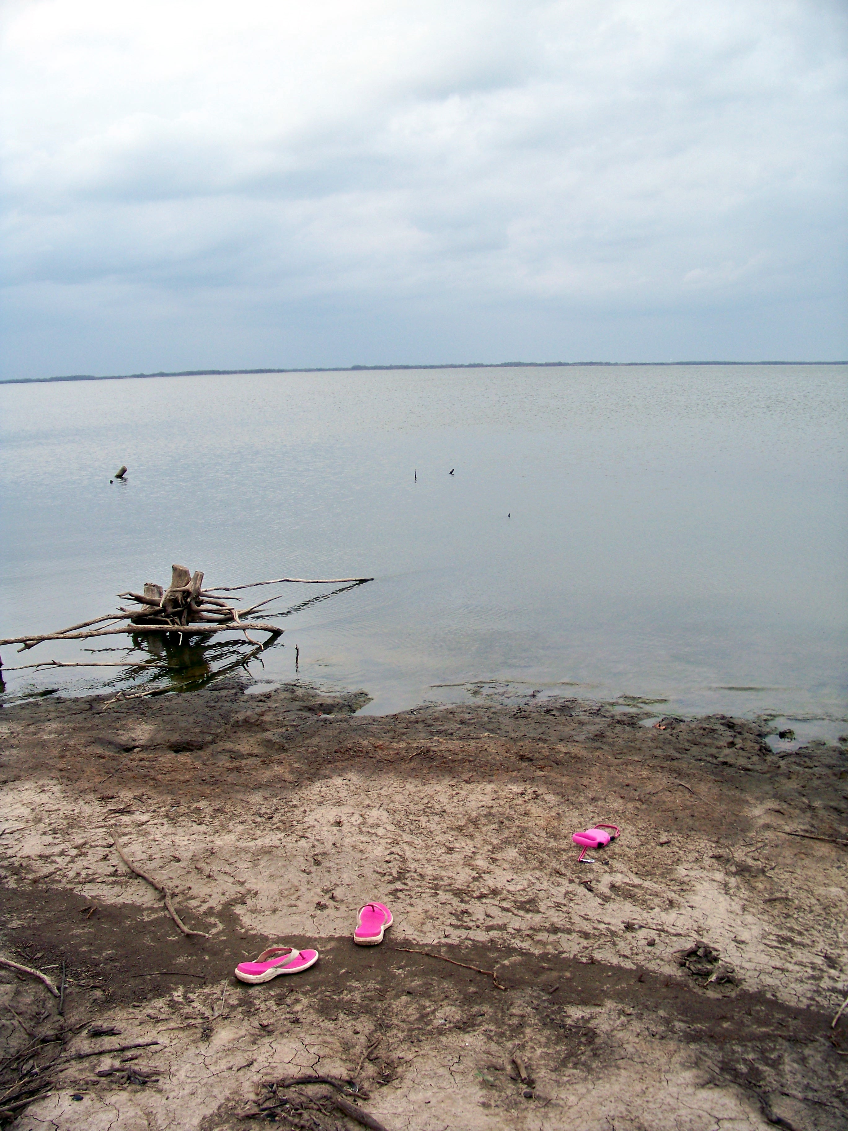
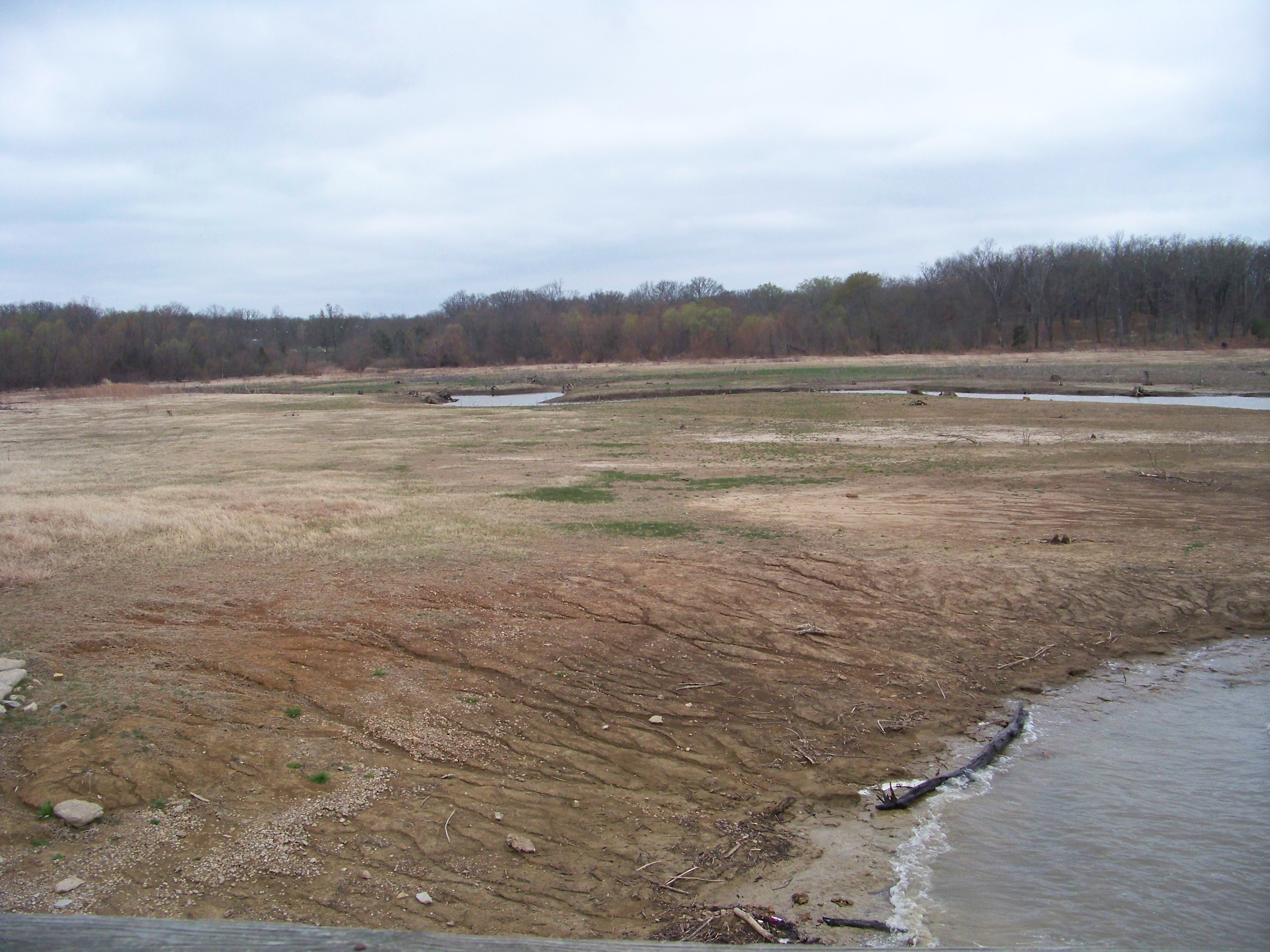
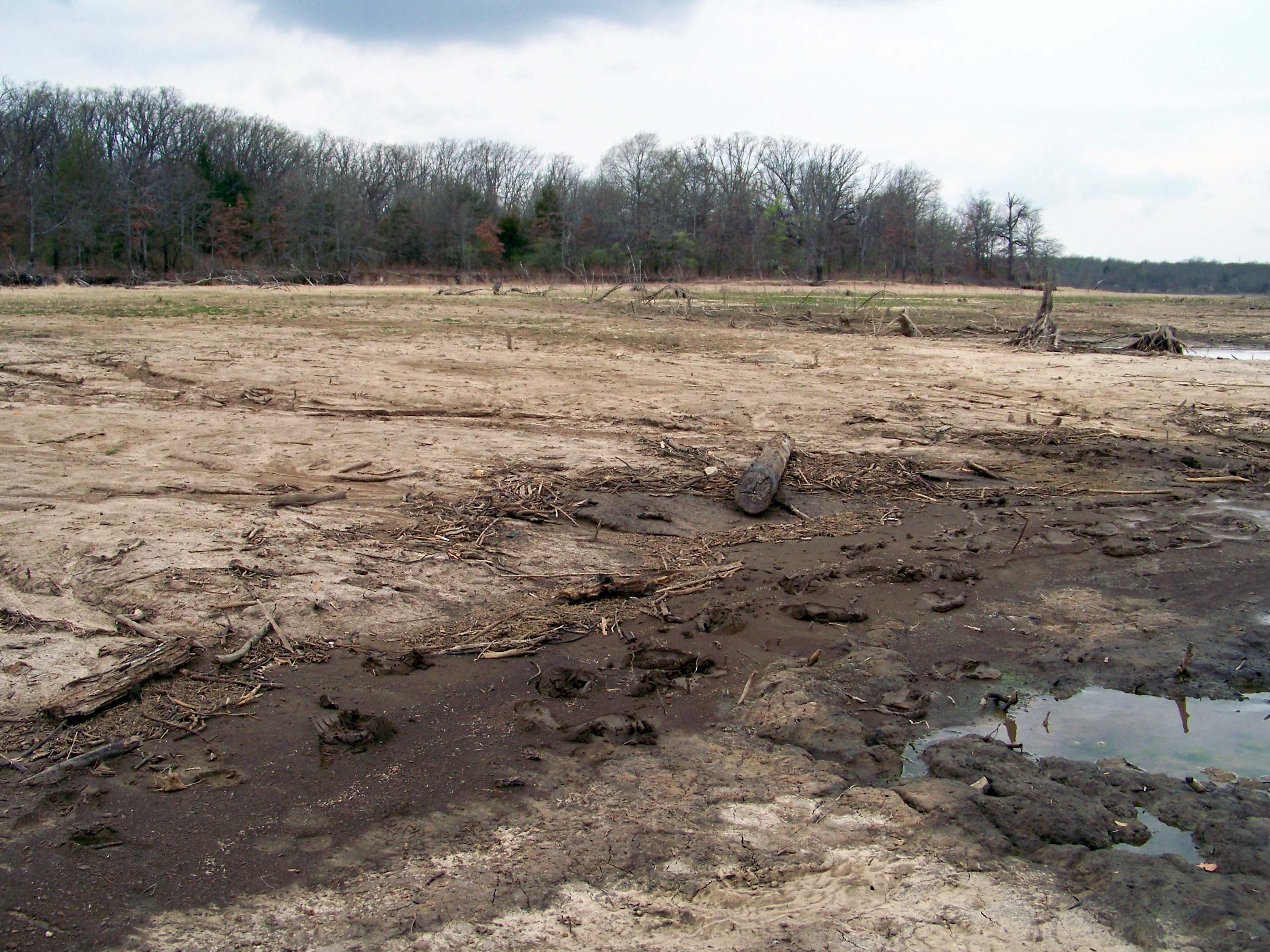
Cooper Lake
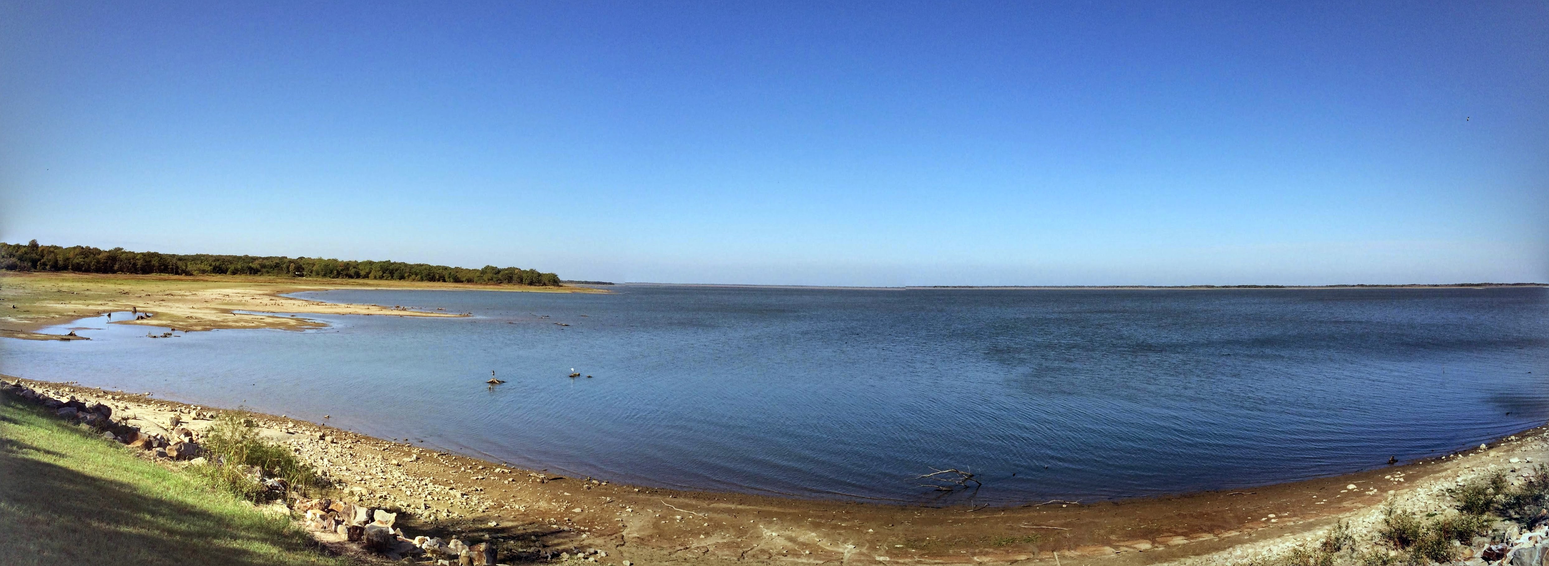
Cooper Lake
Camping at Cooper Lake

#Cooper Tx
Camping at Cooper Lake
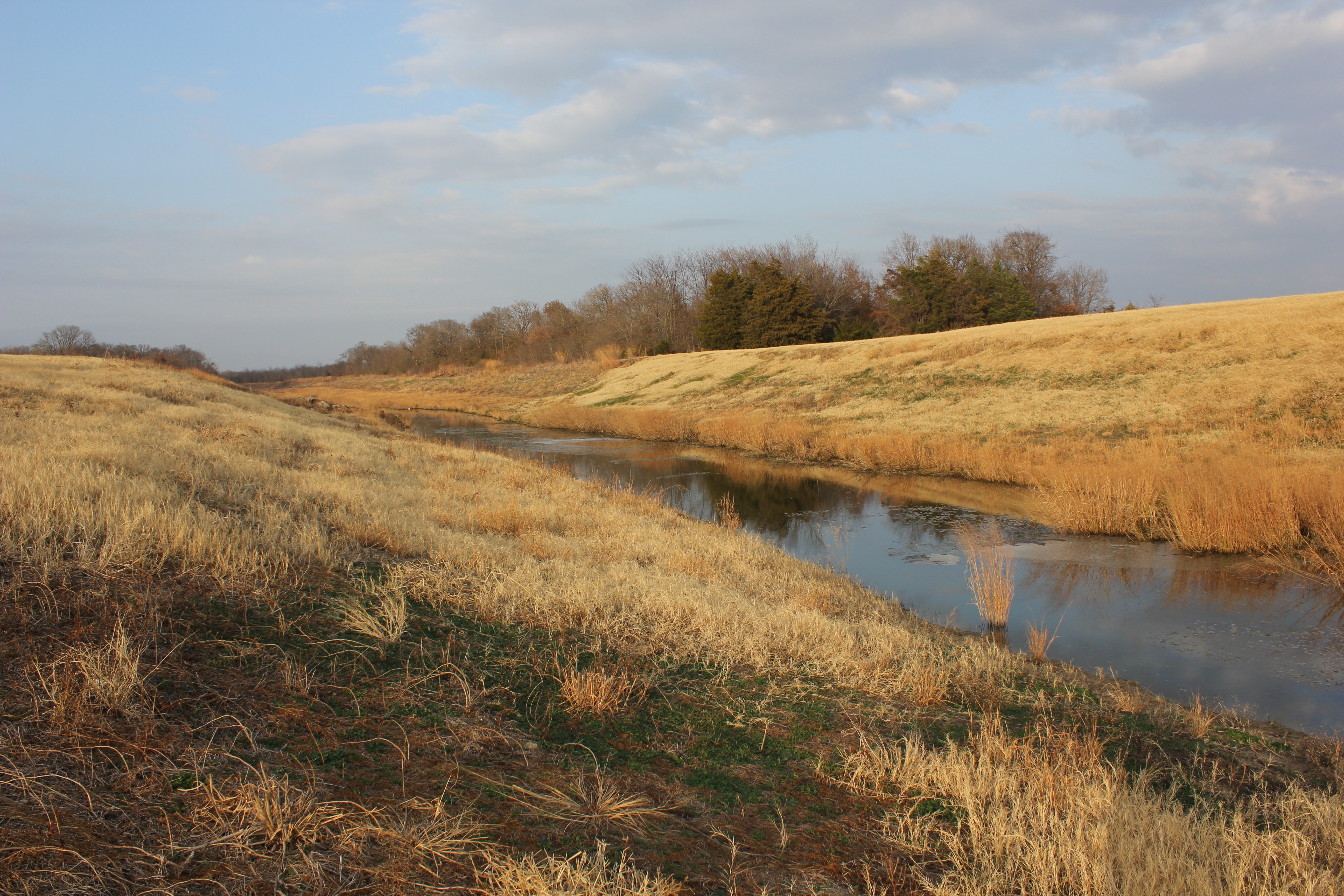
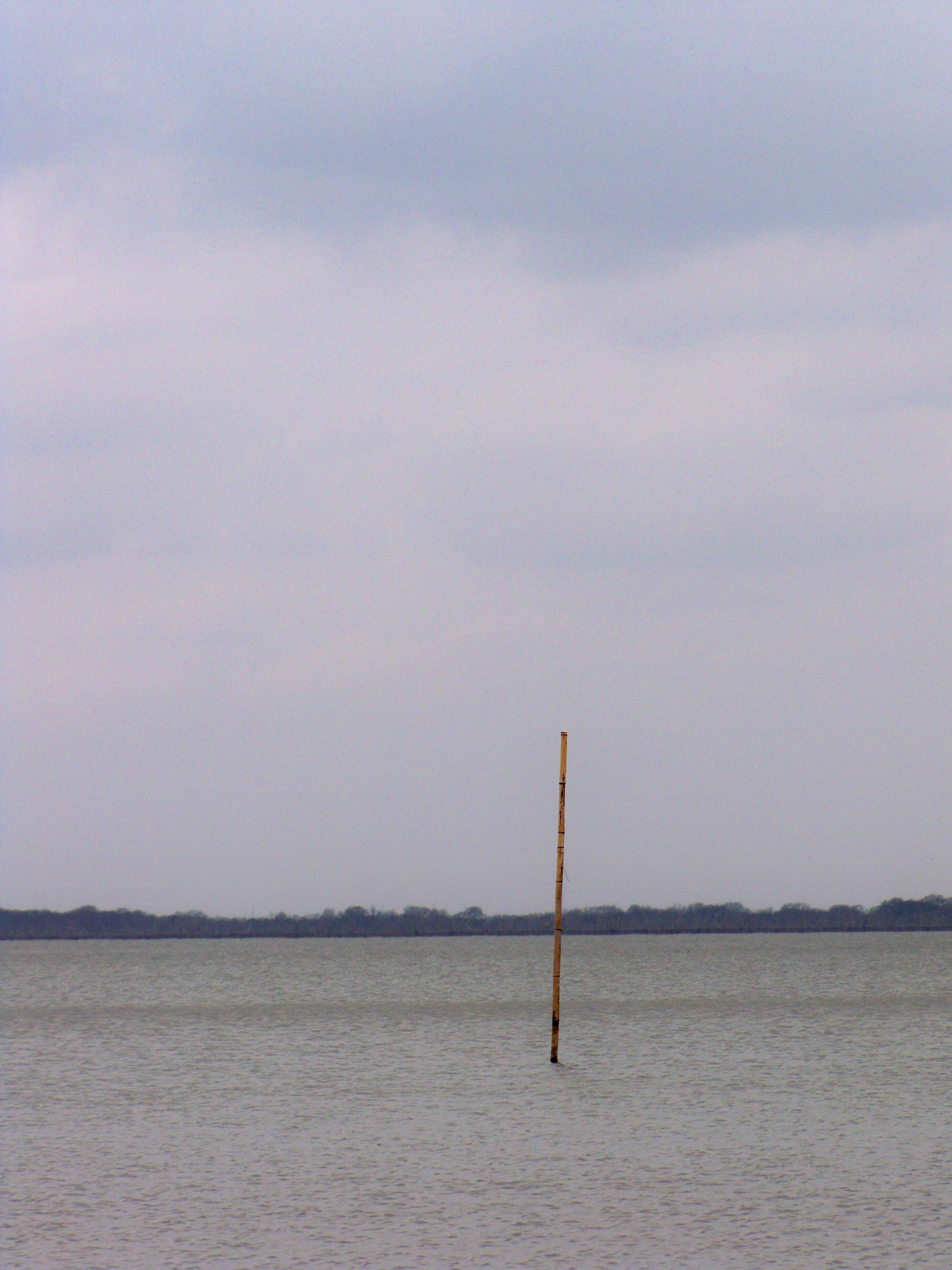
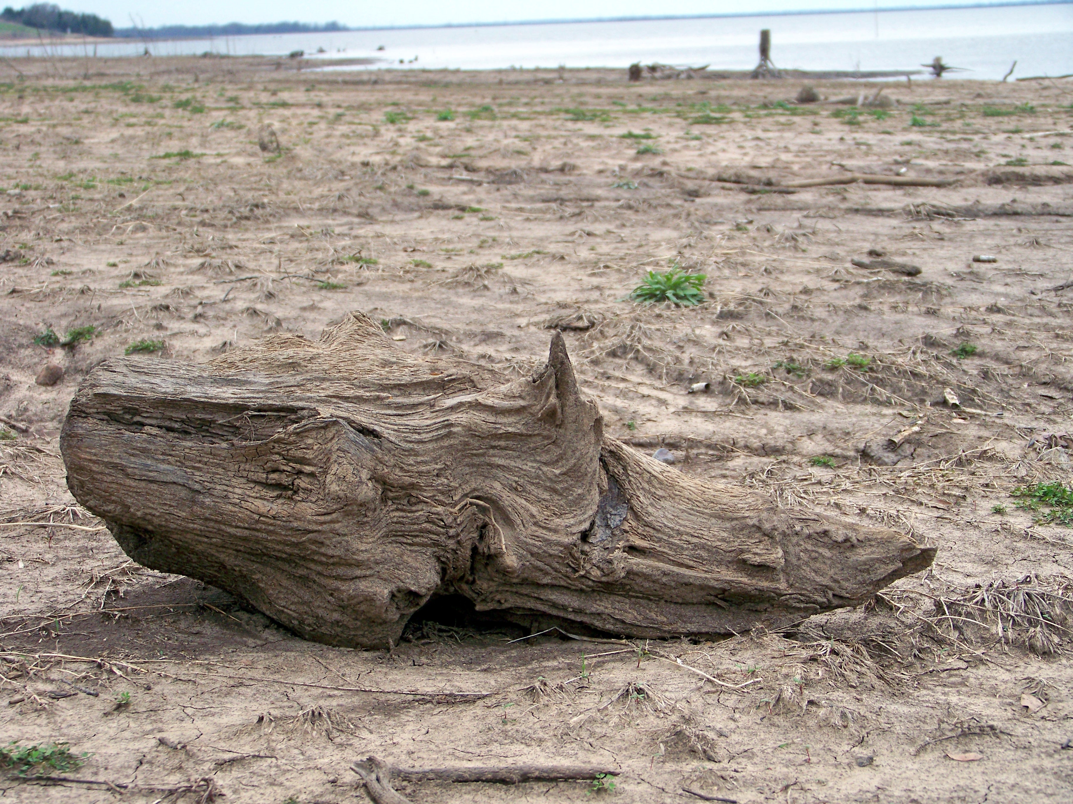
South Sulphur River

Oak Lawn Cemetery, Cooper, Texas
Camping at Cooper Lake
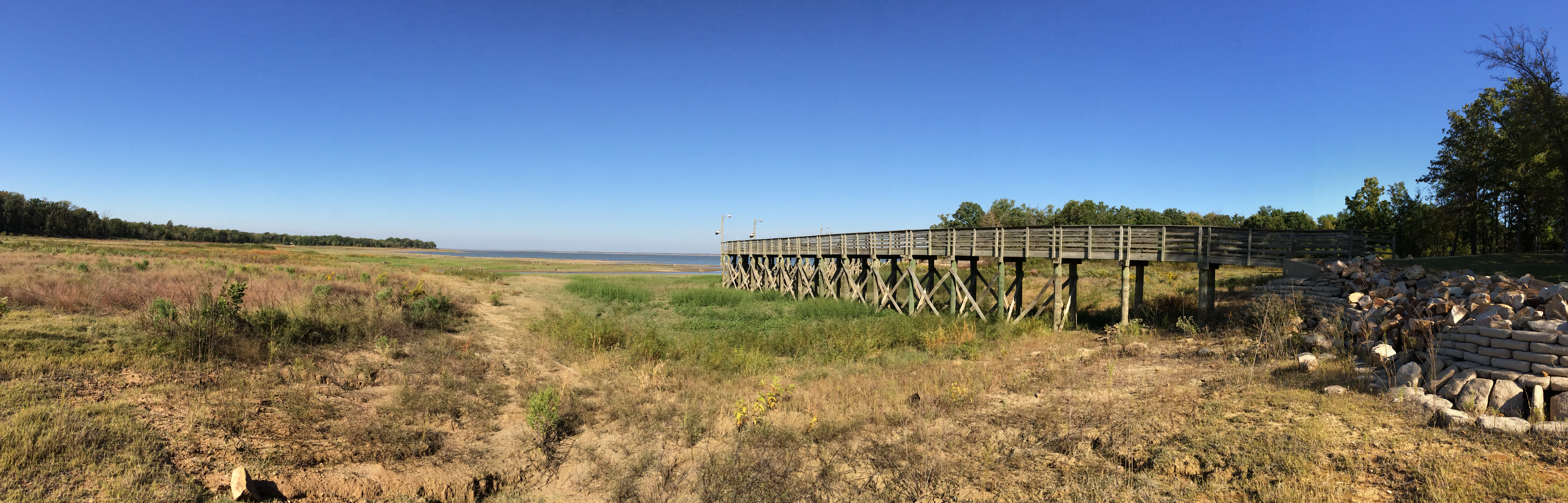
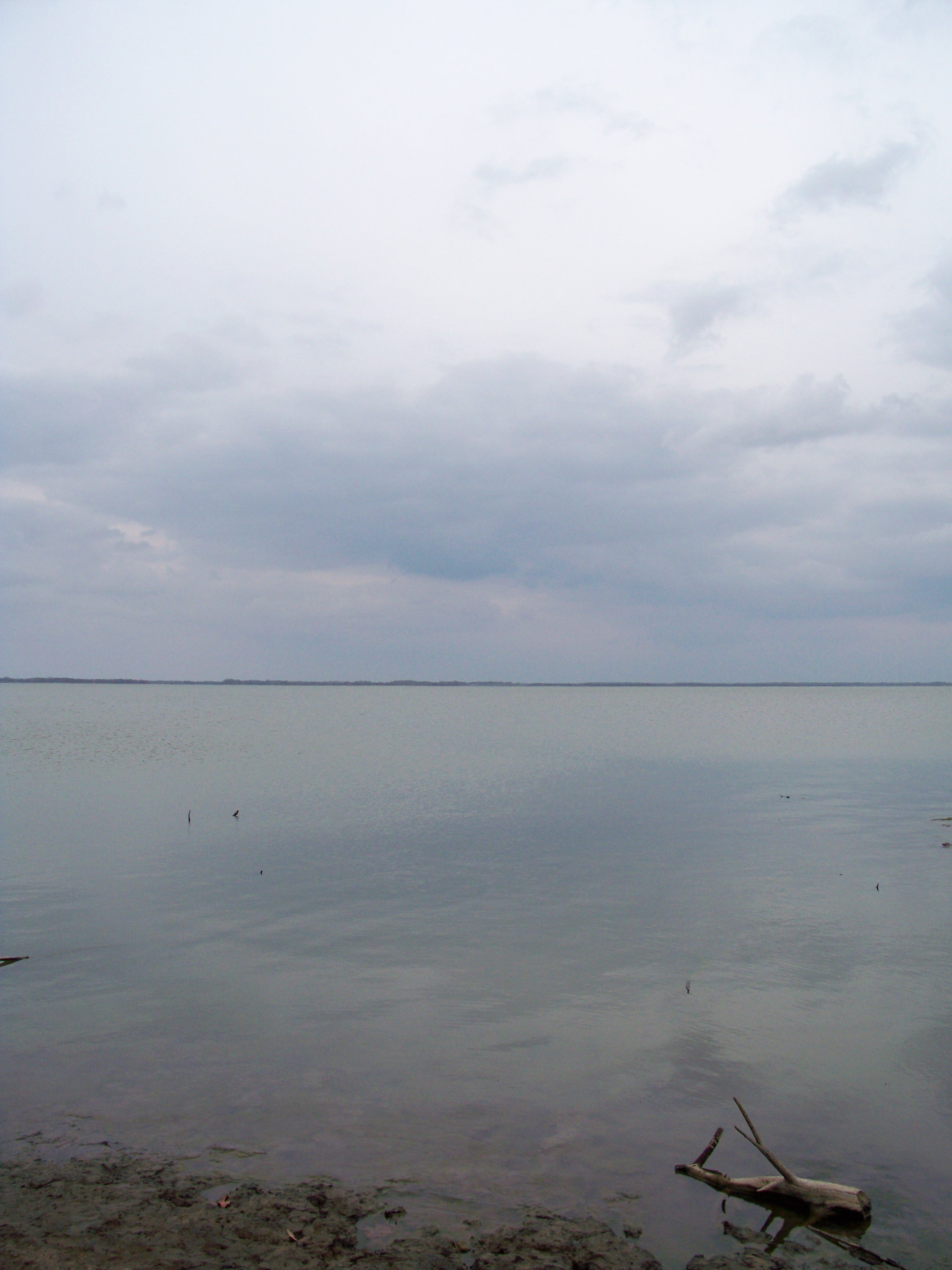
Cooper Lake
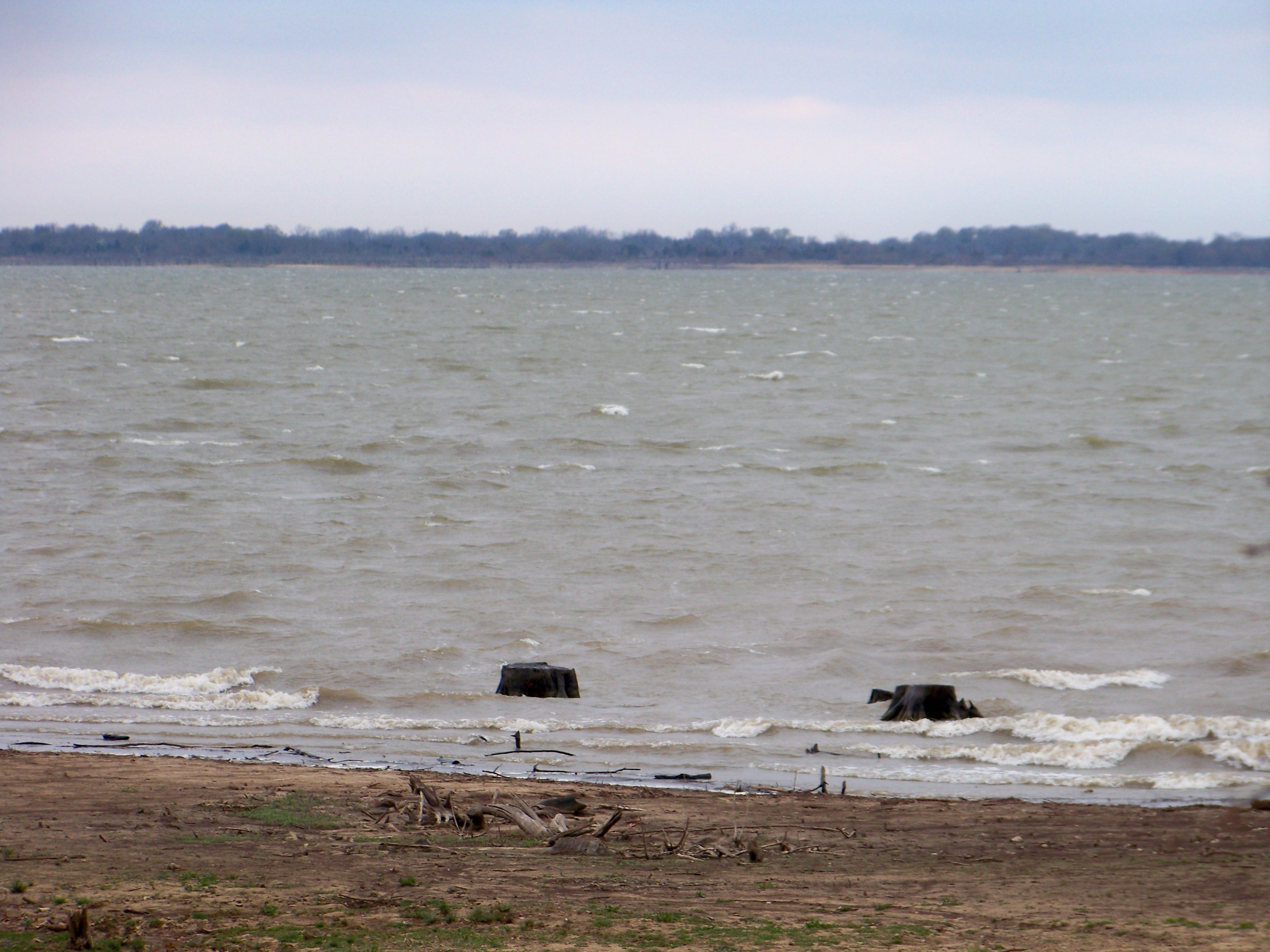
Lake Cooper

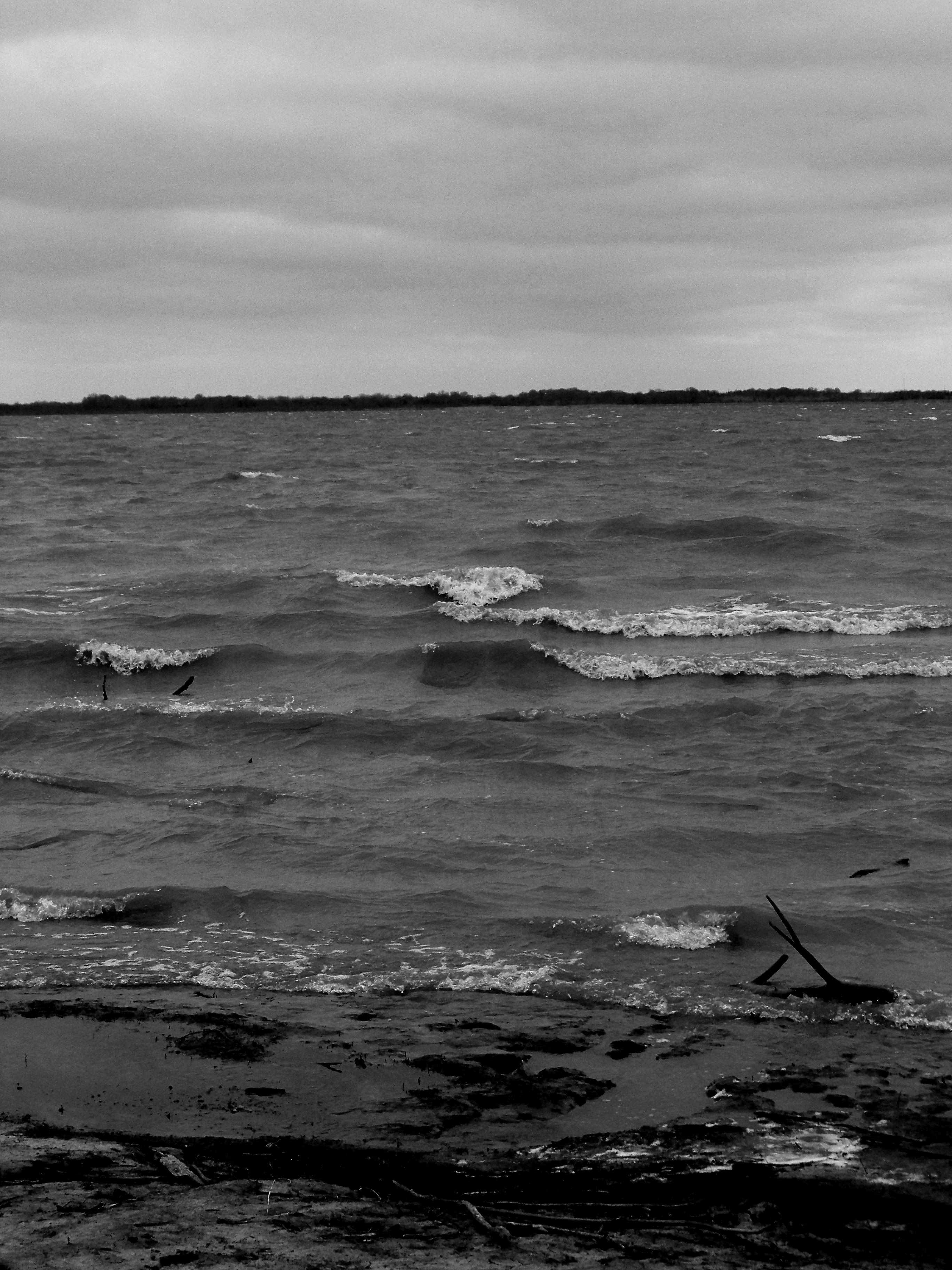
Cooper Sunset
Camping at Cooper Lake
Camping at Cooper Lake
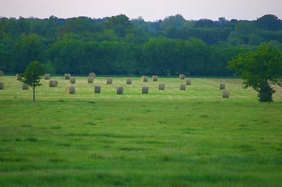
284 AC Cattle Ranch - near Lake Cooper TX - for sale
Camping at Cooper Lake
Camping at Cooper Lake
Camping at Cooper Lake
Camping at Cooper Lake
Topographic Map of Delta County, TX, USA
Find elevation by address:

Places in Delta County, TX, USA:
Places near Delta County, TX, USA:
F R 64 W, Pecan Gap, TX, USA
Farm Rd, Pecan Gap, TX, USA
F R, Ben Franklin, TX, USA
Cooper
FM 71, Sulphur Springs, TX, USA
Pecan Gap
Ben Franklin
FM, Lake Creek, TX, USA
FM, Commerce, TX, USA
FM, Ladonia, TX, USA
State Loop, Commerce, TX, USA
Commerce
FM, Honey Grove, TX, USA
FM, Honey Grove, TX, USA
Co Rd, Commerce, TX, USA
Ladonia
Roxton
FM, Ladonia, TX, USA
Cumby
Paris Street
Recent Searches:
- Elevation of Corso Fratelli Cairoli, 35, Macerata MC, Italy
- Elevation of Tallevast Rd, Sarasota, FL, USA
- Elevation of 4th St E, Sonoma, CA, USA
- Elevation of Black Hollow Rd, Pennsdale, PA, USA
- Elevation of Oakland Ave, Williamsport, PA, USA
- Elevation of Pedrógão Grande, Portugal
- Elevation of Klee Dr, Martinsburg, WV, USA
- Elevation of Via Roma, Pieranica CR, Italy
- Elevation of Tavkvetili Mountain, Georgia
- Elevation of Hartfords Bluff Cir, Mt Pleasant, SC, USA