Elevation of Eucalyptus Dr, Highland, CA, USA
Location: United States > California > San Bernardino County > San Bernardino > Ne - Sterling >
Longitude: -117.23254
Latitude: 34.1402484
Elevation: 403m / 1322feet
Barometric Pressure: 97KPa
Elevation Map:
Satellite Map:
Related Photos:

A Face Only UP Could Love
Better Blue Than Yellow Bonnet

palm trees. north redlands, ca. 2011.

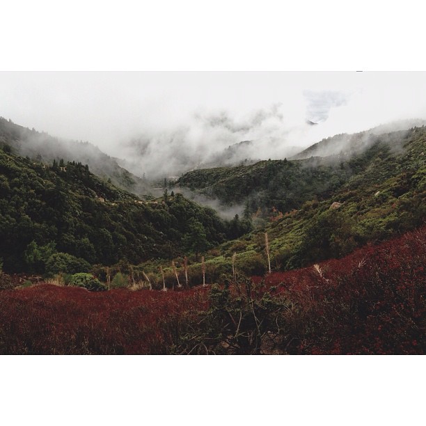
Islands in the Mist

prcssd. combat camera. san bernardino, ca. 2011.

Queen's Fine Food
Three set to leave
Nothing but Geeps
Not So Beautiful Boosters
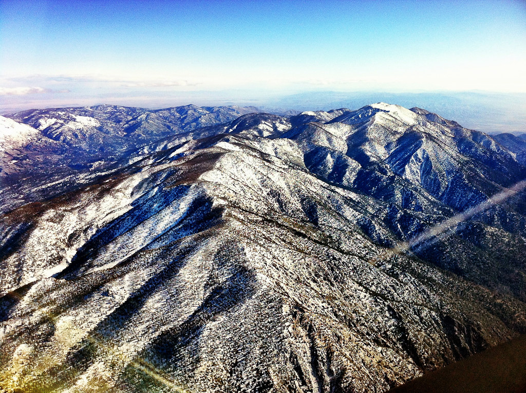
Aerial shots Colorado/L.A. 1999

Thanksgiving Sunset HDR
UP X-1405W @ Colton

SD Trucks In The Shops Over The Pit
Green Topographic

Overlooking the Inland Empire

San Bernardino Valley

Seven Oaks Dam

May your day be blessed and full of strippers and burritos or pizza Birds ???? eye ???? view #330

What a view this morning!

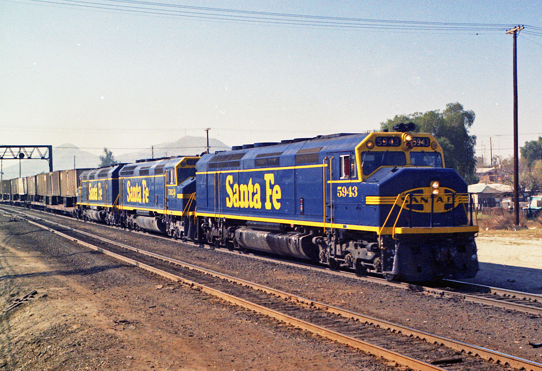
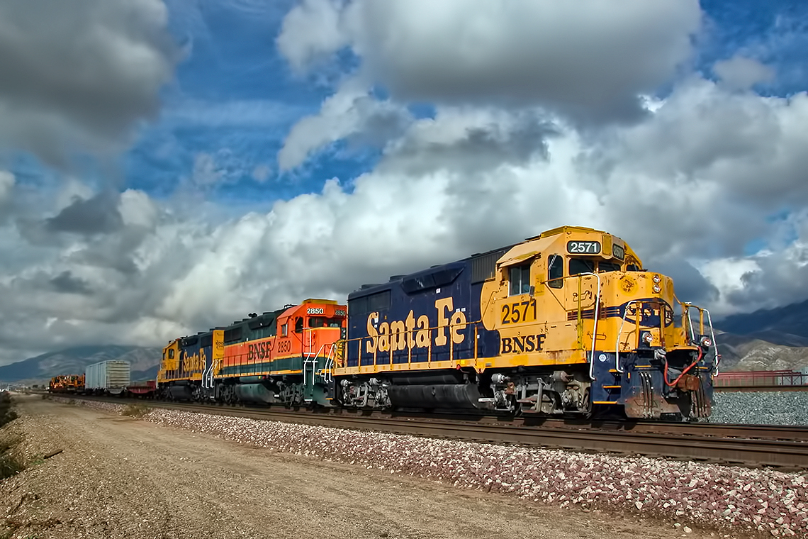
Santa Fe Main Leaving San Bernardino

palm trees. north redlands, ca. 2011.

San Timoteo Nature Trail

#sanbernardinomountains #mountains #runningsprings #hwy18

Morey Mansion of Redlands

Rim of the World Highway

Storm over GATX in Colton

Sunset at Rim of the World
Read the link. BNSF Train under the Old Fire smoke

Above it all
2004 Westbound MoW train in Verdemont, from my collection.
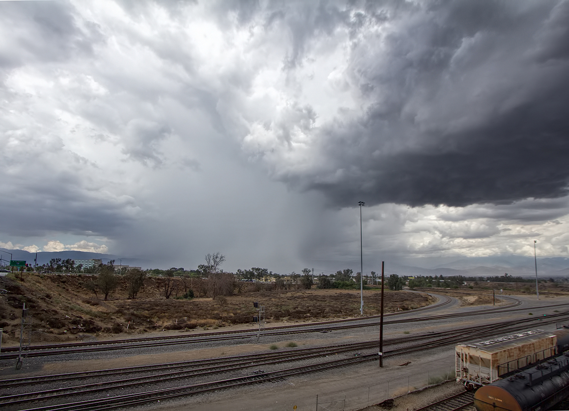
Rain in SoCal?

Garnet St. Bridge - Mentone, CA, USA
3.12.11 - Big Bear

South from Marie Louise

Social Gathering, Ford Park, Redlands, CA 8-12

Pine Falls

Good Intentions
San Bernardino National Forest, California
#bigbear #bigbearlake #sanbernardino #sanbernardinonationalforest
Topographic Map of Eucalyptus Dr, Highland, CA, USA
Find elevation by address:

Places near Eucalyptus Dr, Highland, CA, USA:
2922 Pinon Ct N
2772 Sterling Ave
Amber Hills
Ne - Sterling
2969 La Verne Ave
25340 Los Flores Dr
N Palm Ave, Highland, CA, USA
Pacific
25167 E 17th St
Highland Historical District
Highland
Center St, Highland, CA, USA
Cypress
2312 N Golden Ave
San Bernardino, CA, USA
3883 Croydon St
3136 N Golden Ave
3850 Camellia Dr
Del Rosa
Small Canyon
Recent Searches:
- Elevation of Corso Fratelli Cairoli, 35, Macerata MC, Italy
- Elevation of Tallevast Rd, Sarasota, FL, USA
- Elevation of 4th St E, Sonoma, CA, USA
- Elevation of Black Hollow Rd, Pennsdale, PA, USA
- Elevation of Oakland Ave, Williamsport, PA, USA
- Elevation of Pedrógão Grande, Portugal
- Elevation of Klee Dr, Martinsburg, WV, USA
- Elevation of Via Roma, Pieranica CR, Italy
- Elevation of Tavkvetili Mountain, Georgia
- Elevation of Hartfords Bluff Cir, Mt Pleasant, SC, USA