Elevation of El Seibo, Dominican Republic
Location: Dominican Republic > El Seibo Province >
Longitude: -69.049336
Latitude: 18.7707548
Elevation: 117m / 384feet
Barometric Pressure: 100KPa
Elevation Map:
Satellite Map:
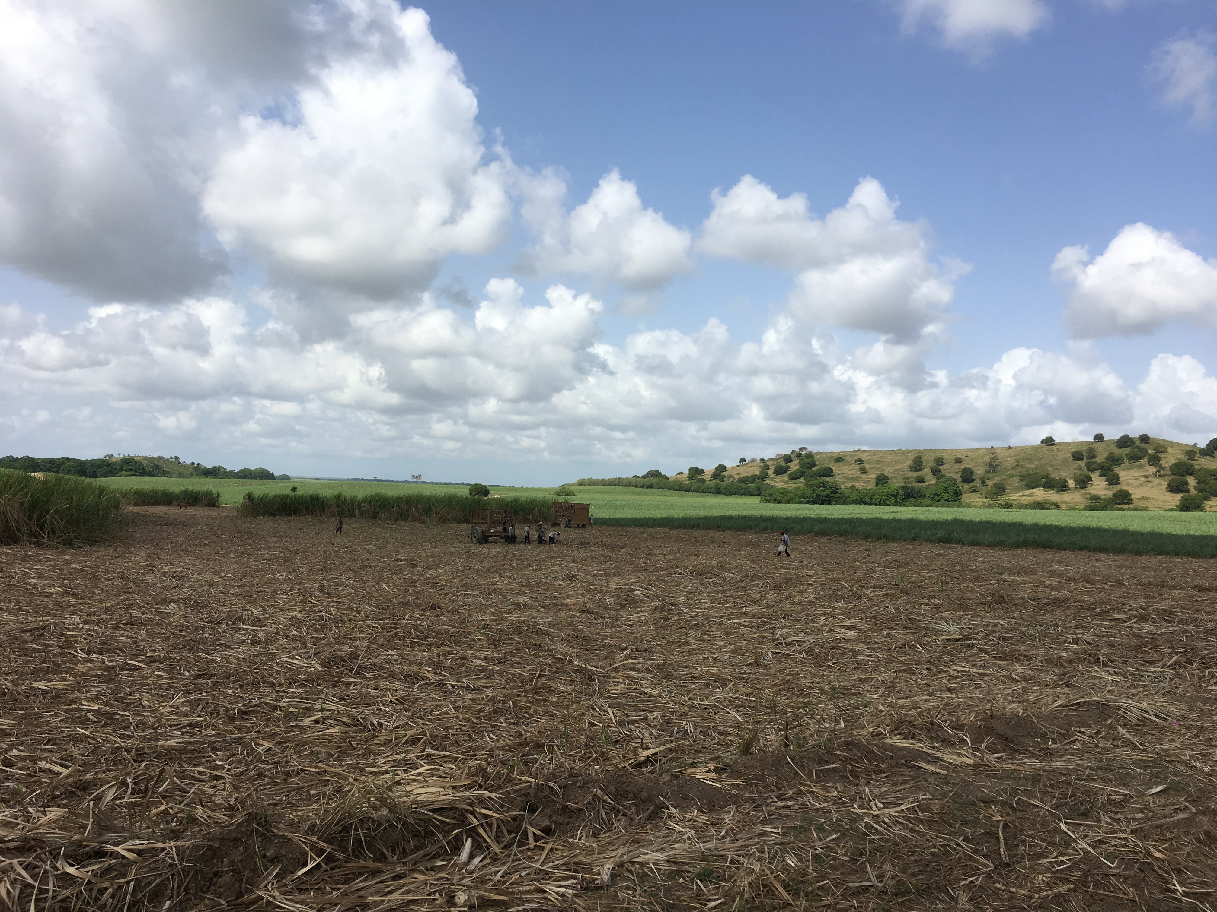
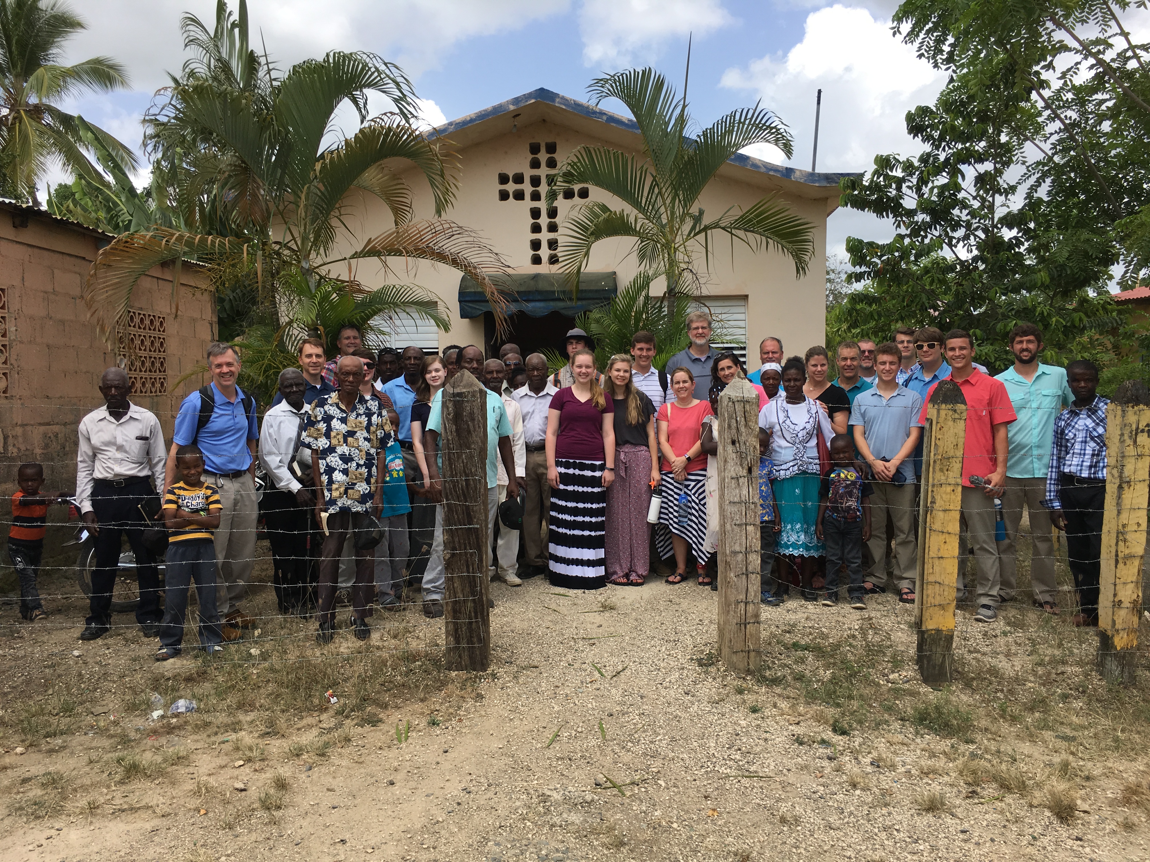
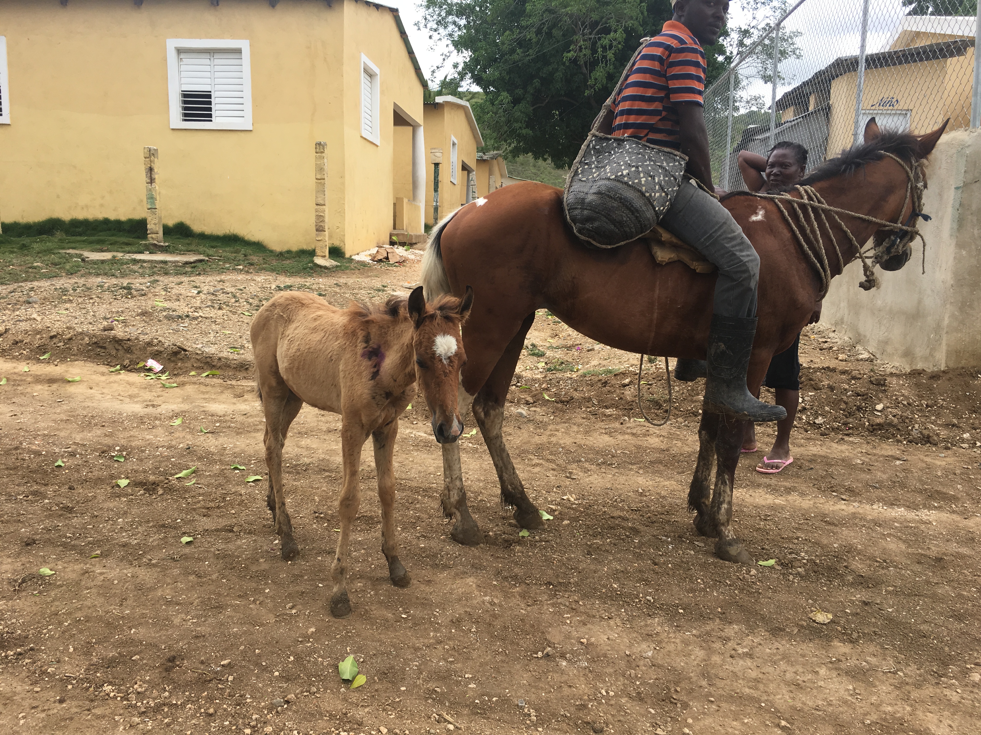
Related Photos:

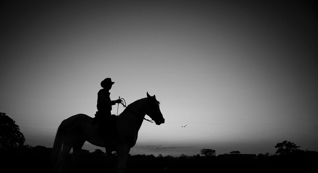
Luces y Sombras
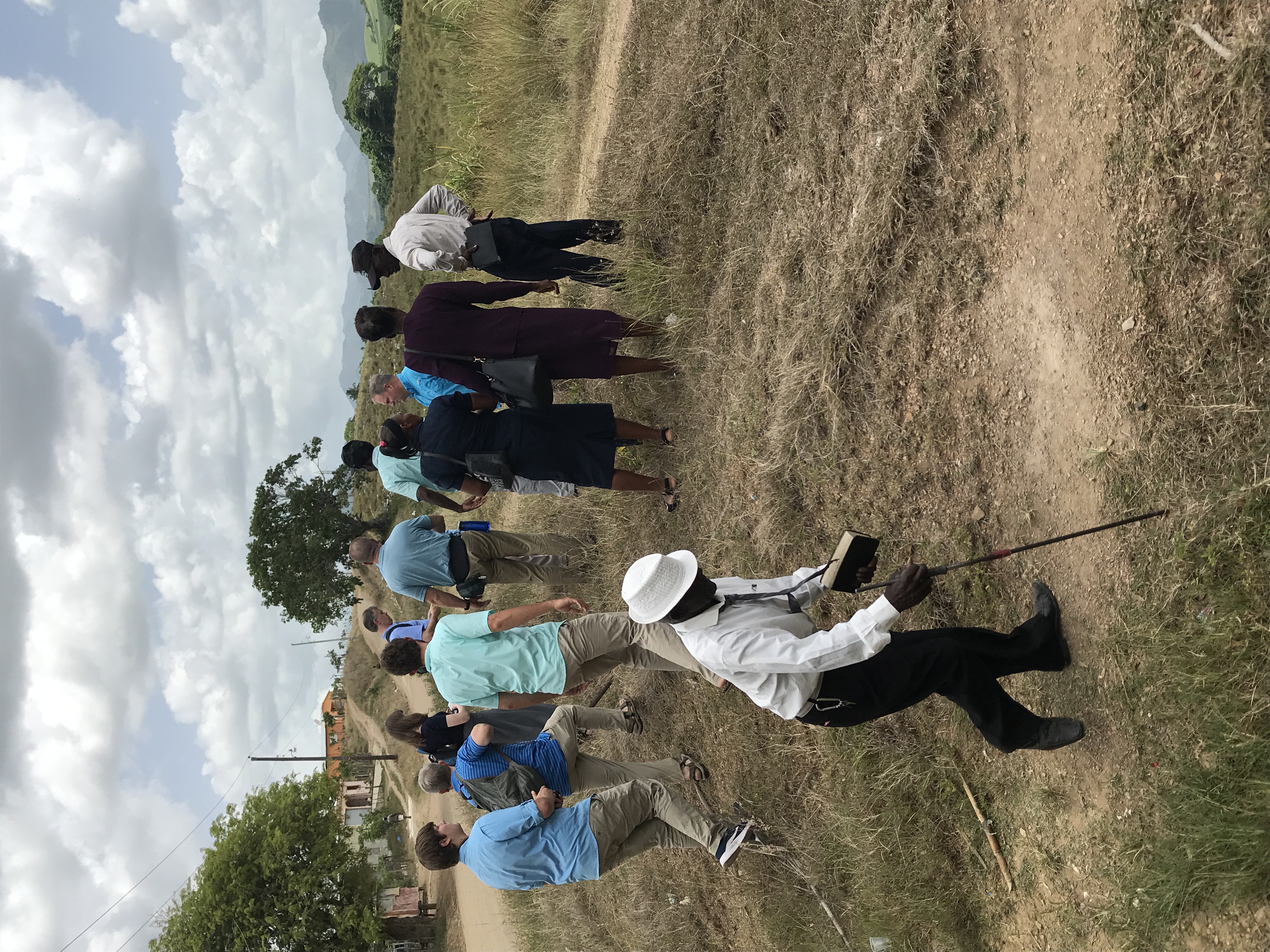
Toros
IMG_8424

IMG_8427
IMG_0970

IMG_0972
IMG_0973

IMG_0974
IMG_0975

IMG_0977

IMG_0978

IMG_0980
IMG_0982

IMG_0984

IMG_0985

IMG_1079
IMG_1080

IMG_1083

IMG_1084

IMG_1086

IMG_1087

IMG_1088
Topographic Map of El Seibo, Dominican Republic
Find elevation by address:

Places in El Seibo, Dominican Republic:
Places near El Seibo, Dominican Republic:
El Seibo Province
El Seibo
La Romana
Francisca Mercedes 21, Municipio Consuelo, Dominican Republic
Consuelo
Villa Hermosa
La Romana
C/4
La Romana
Villa Los Mangos
Centro Del Pueblo
El Valle
El Centro
El Valle
San Pedro De Macoris
Calle 27 De Febrero
Cayo Levantado
Samana
Advocates Of Love
Samana
Recent Searches:
- Elevation of Corso Fratelli Cairoli, 35, Macerata MC, Italy
- Elevation of Tallevast Rd, Sarasota, FL, USA
- Elevation of 4th St E, Sonoma, CA, USA
- Elevation of Black Hollow Rd, Pennsdale, PA, USA
- Elevation of Oakland Ave, Williamsport, PA, USA
- Elevation of Pedrógão Grande, Portugal
- Elevation of Klee Dr, Martinsburg, WV, USA
- Elevation of Via Roma, Pieranica CR, Italy
- Elevation of Tavkvetili Mountain, Georgia
- Elevation of Hartfords Bluff Cir, Mt Pleasant, SC, USA