Elevation of El Seibo, Dominican Republic
Location: Dominican Republic > El Seibo Province > El Seibo >
Longitude: -69.038904
Latitude: 18.7653036
Elevation: 105m / 344feet
Barometric Pressure: 100KPa
Elevation Map:
Satellite Map:
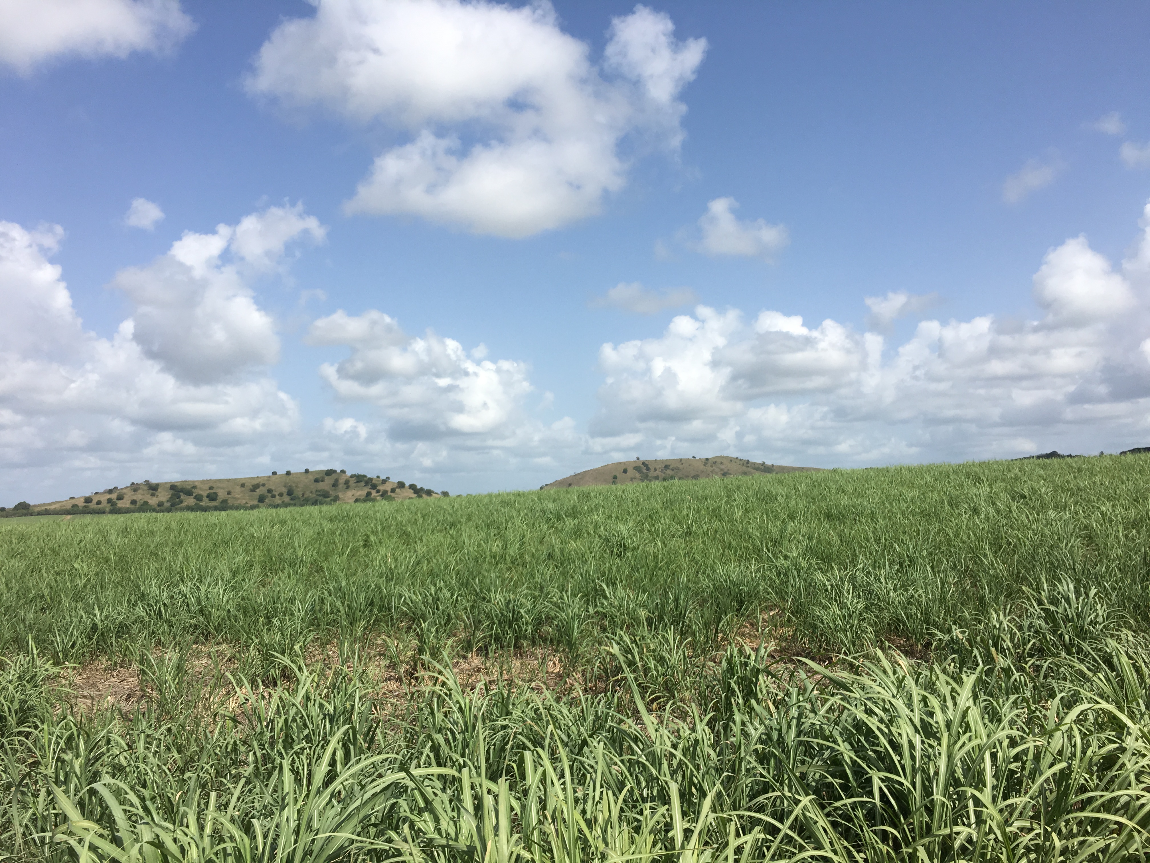
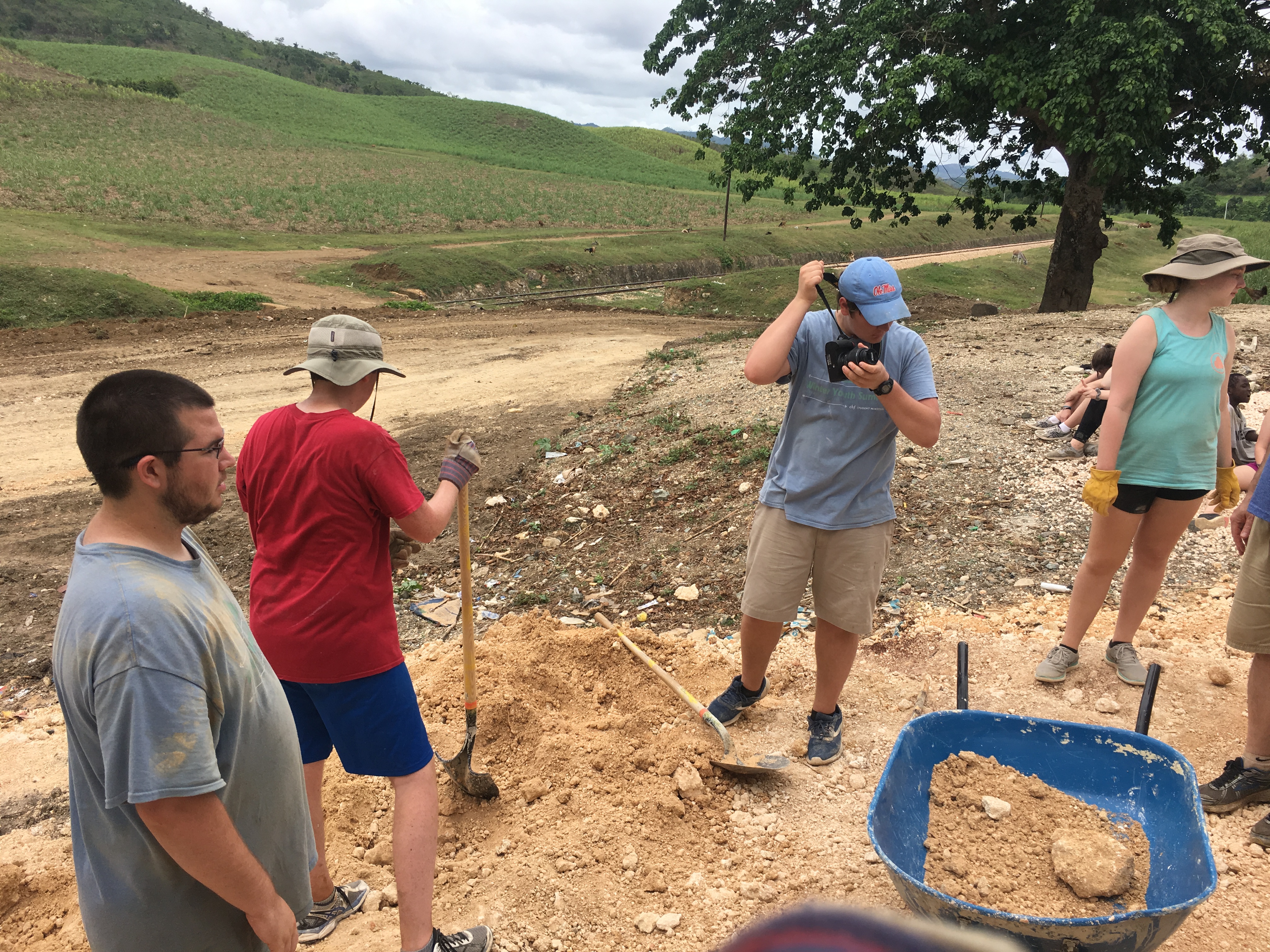
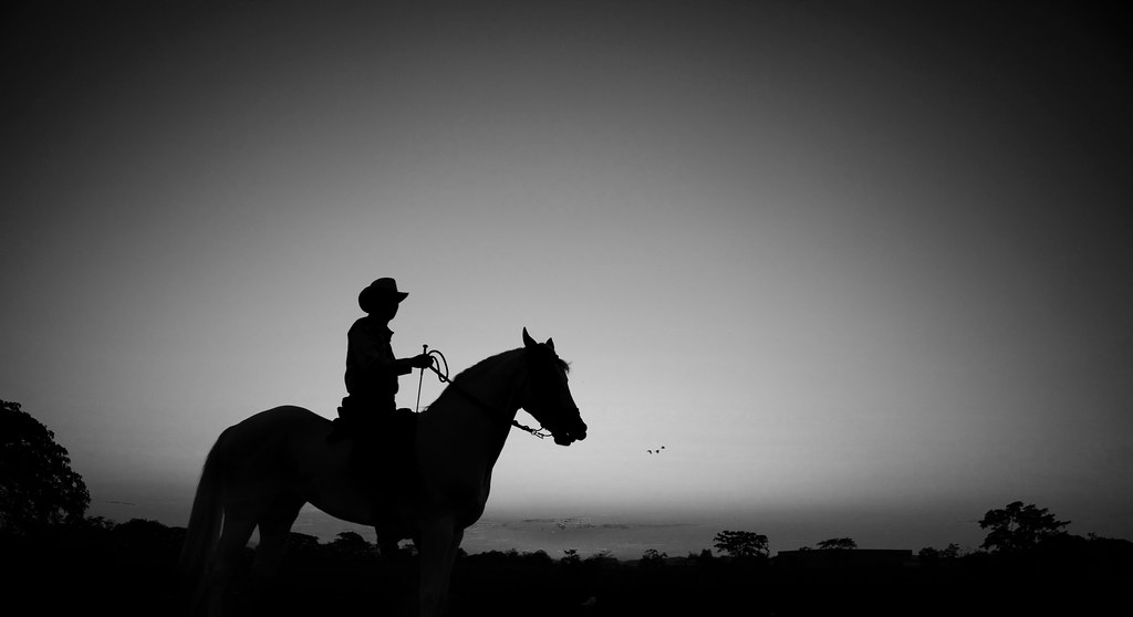
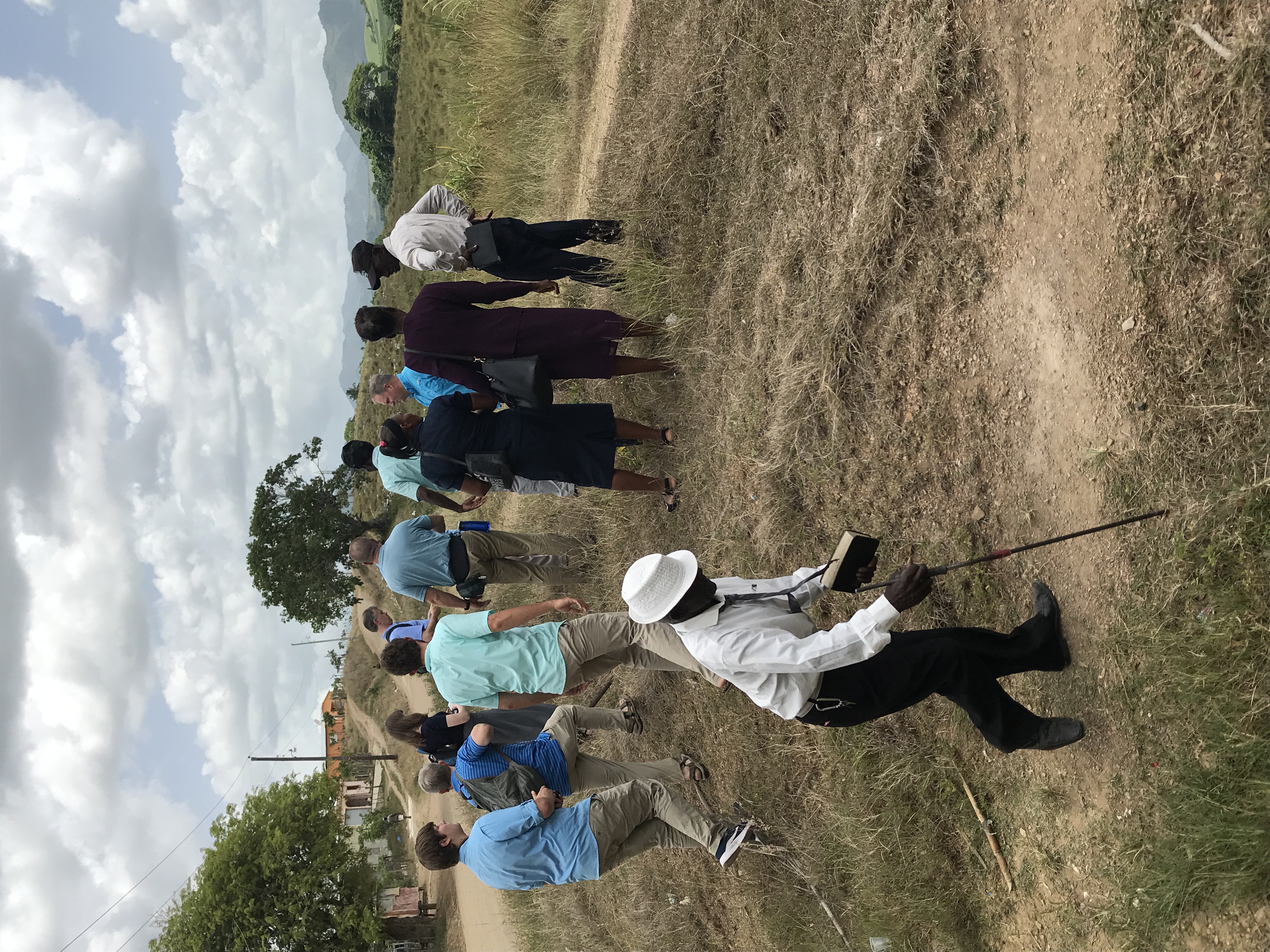
Related Photos:

Luces y Sombras
IMG_0970

IMG_0984
IMG_1099

IMG_3239

a051
Toros
IMG_8424

IMG_8427

IMG_0972
IMG_0973

IMG_0974
IMG_0975

IMG_0977

IMG_0978

IMG_0980
IMG_0982

IMG_0985

IMG_1079
IMG_1080

IMG_1083

IMG_1084
Topographic Map of El Seibo, Dominican Republic
Find elevation by address:

Places near El Seibo, Dominican Republic:
El Seibo Province
El Seibo
La Romana
La Romana
Villa Hermosa
Francisca Mercedes 21, Municipio Consuelo, Dominican Republic
C/4
Consuelo
La Romana
Villa Los Mangos
Centro Del Pueblo
El Valle
El Centro
El Valle
San Pedro De Macoris
Calle 27 De Febrero
Cayo Levantado
Samana
Advocates Of Love
Samana
Recent Searches:
- Elevation of Corso Fratelli Cairoli, 35, Macerata MC, Italy
- Elevation of Tallevast Rd, Sarasota, FL, USA
- Elevation of 4th St E, Sonoma, CA, USA
- Elevation of Black Hollow Rd, Pennsdale, PA, USA
- Elevation of Oakland Ave, Williamsport, PA, USA
- Elevation of Pedrógão Grande, Portugal
- Elevation of Klee Dr, Martinsburg, WV, USA
- Elevation of Via Roma, Pieranica CR, Italy
- Elevation of Tavkvetili Mountain, Georgia
- Elevation of Hartfords Bluff Cir, Mt Pleasant, SC, USA