Elevation map of East Kootenay E, BC, Canada
Location: Canada > British Columbia > East Kootenay >
Longitude: -115.89437
Latitude: 49.8320251
Elevation: 1384m / 4541feet
Barometric Pressure: 86KPa
Elevation Map:
Satellite Map:
Related Photos:
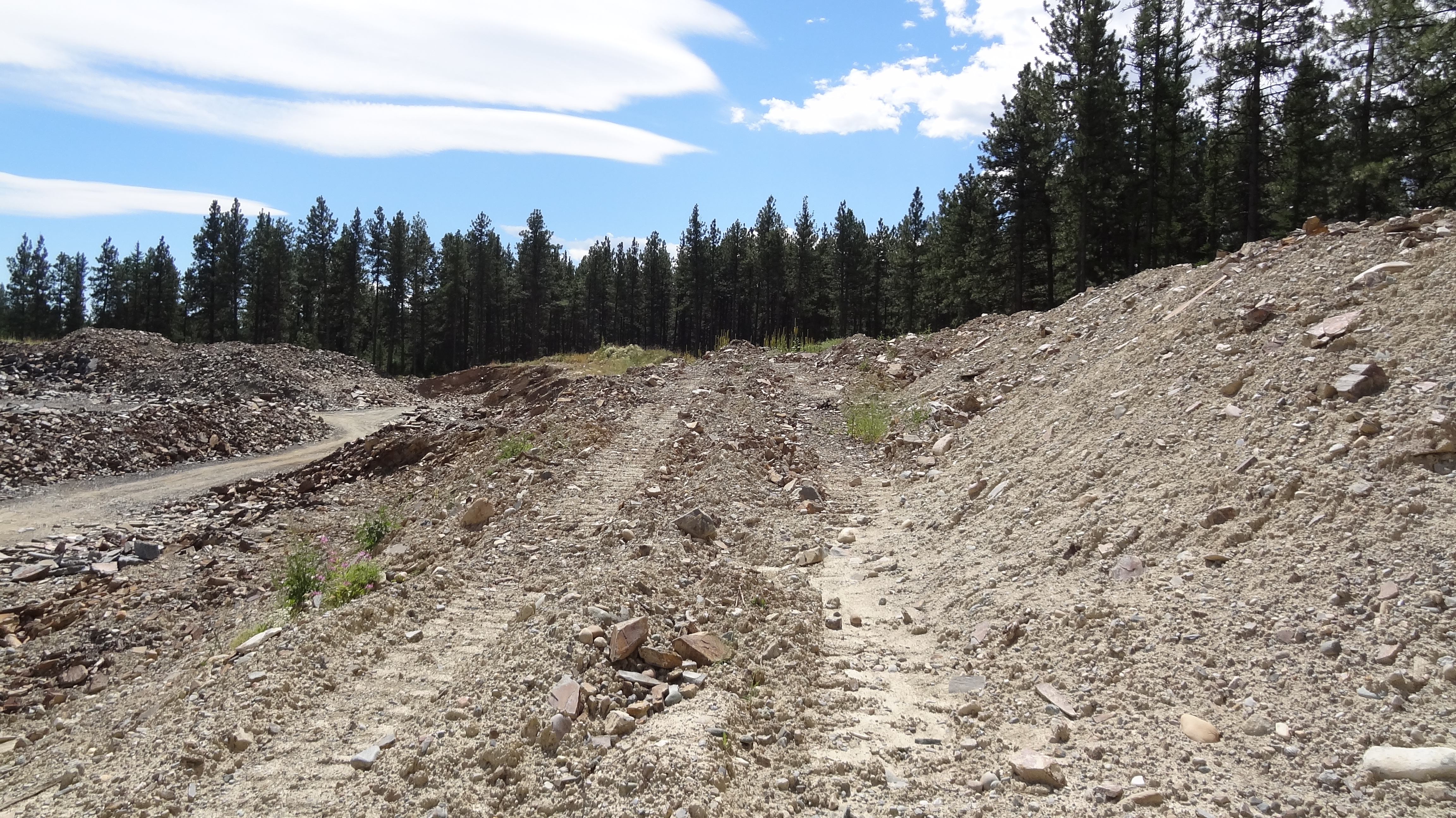
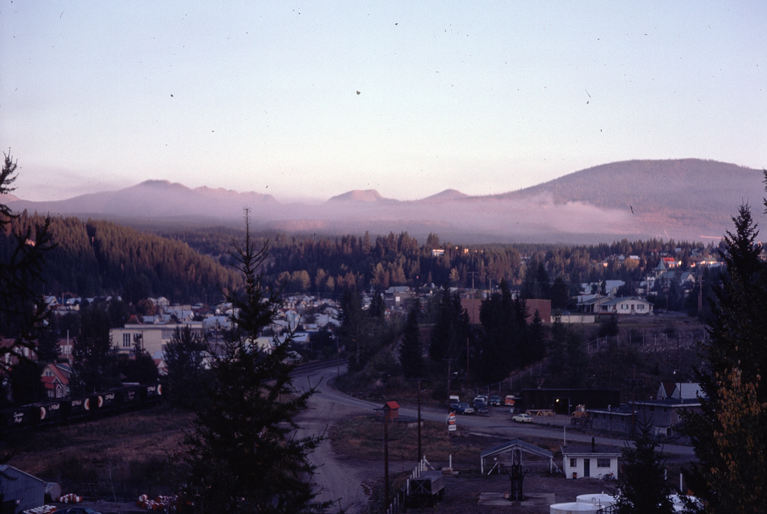
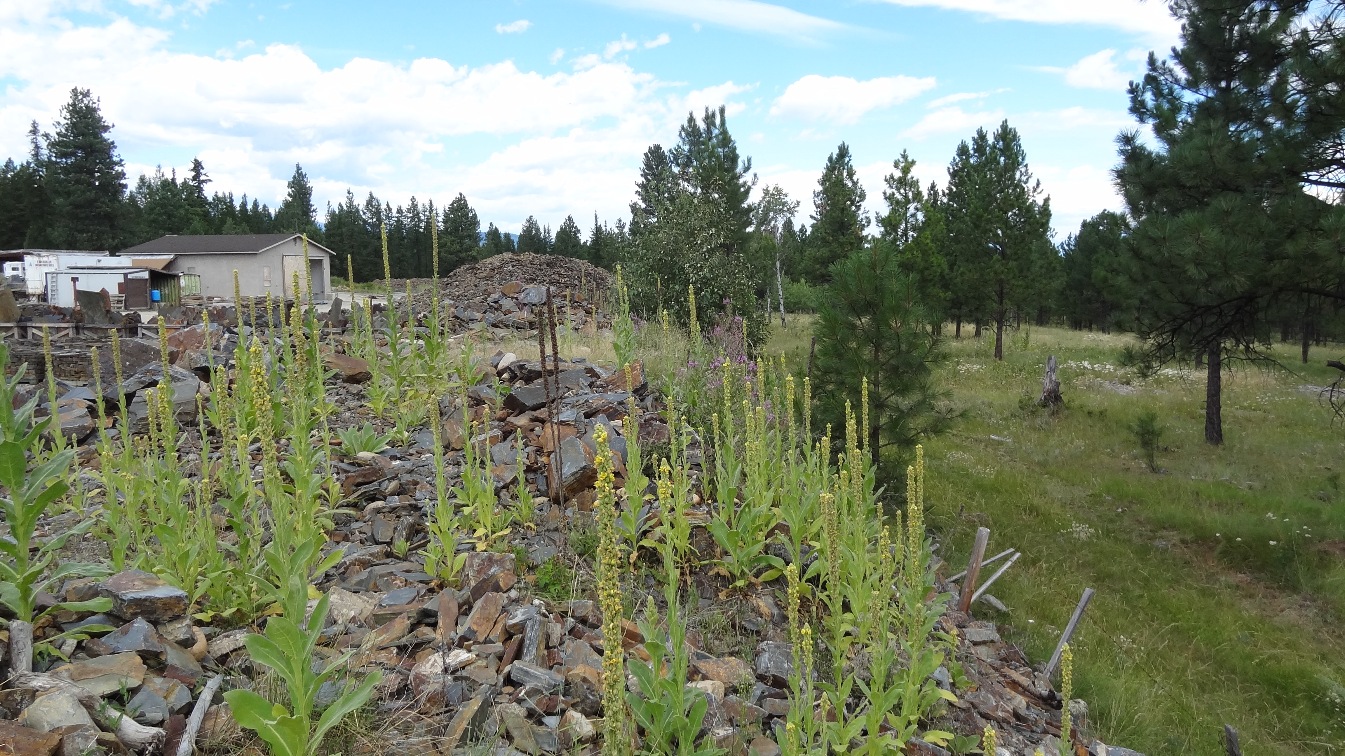
Golden Rock 10
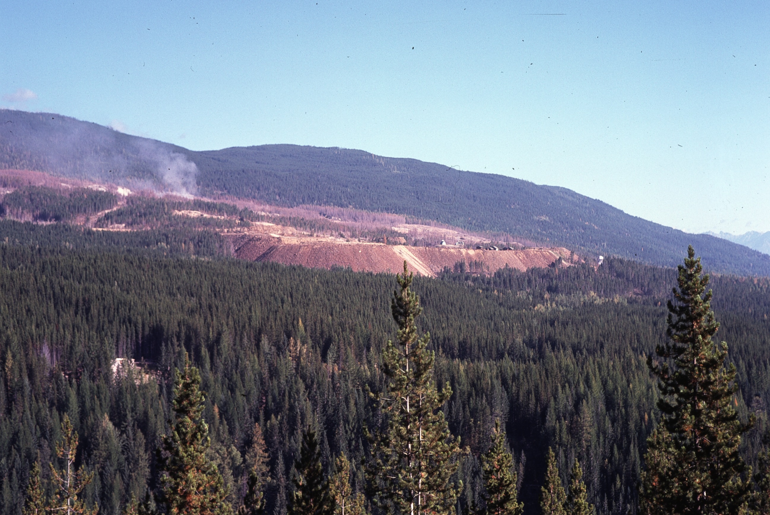
SO2 fumes at Sullivan 3
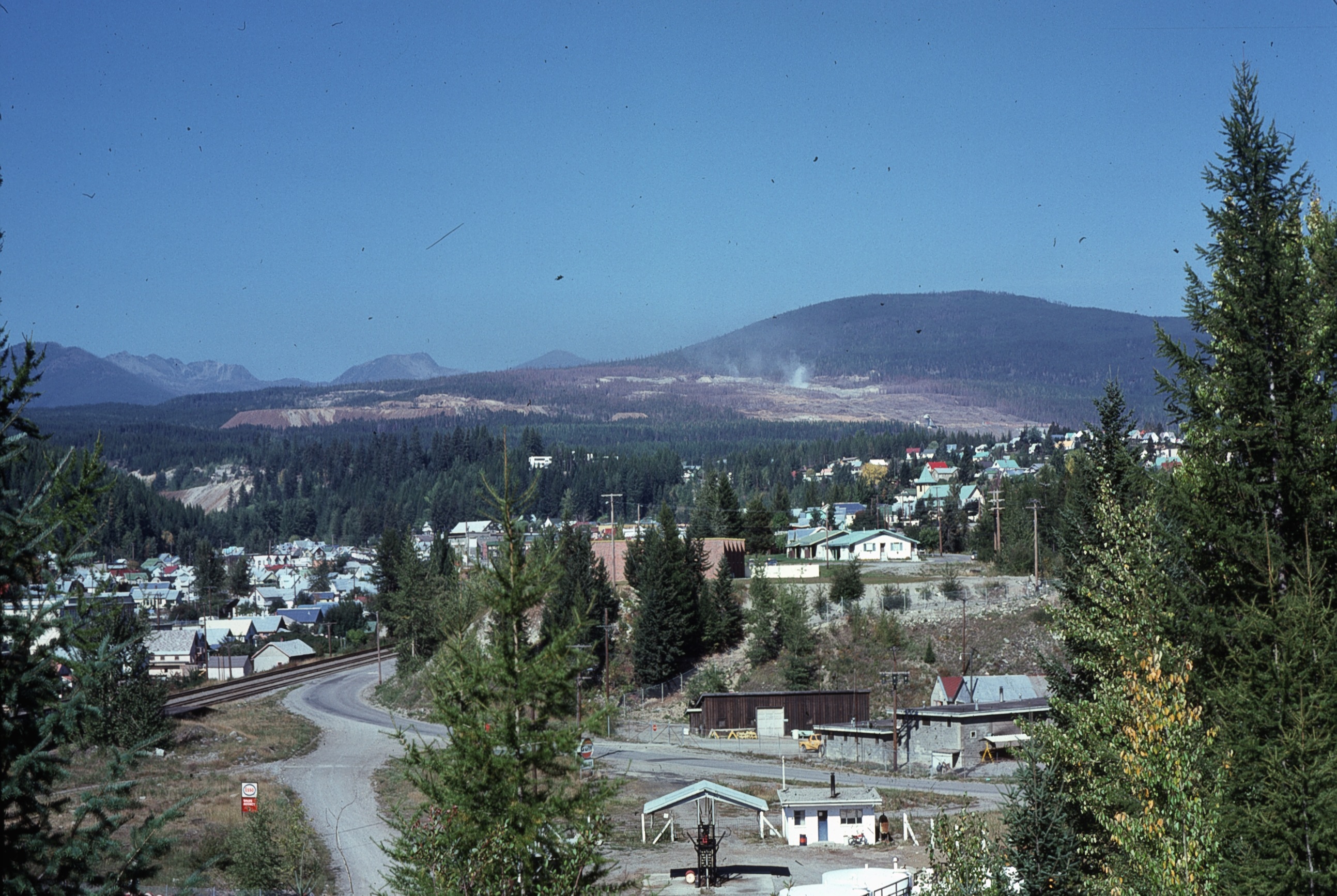
SO2 fumes at Sullivan

The Fallen, the Dynamic, the Static, and the Fickle

Rainbow mania

2011 09 14_0702
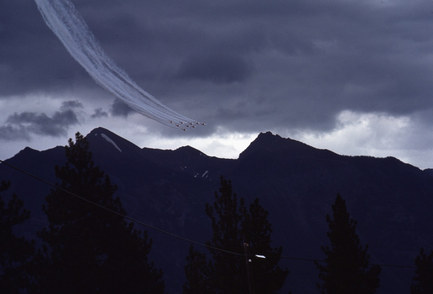
Wasa 1975 Airshow 1
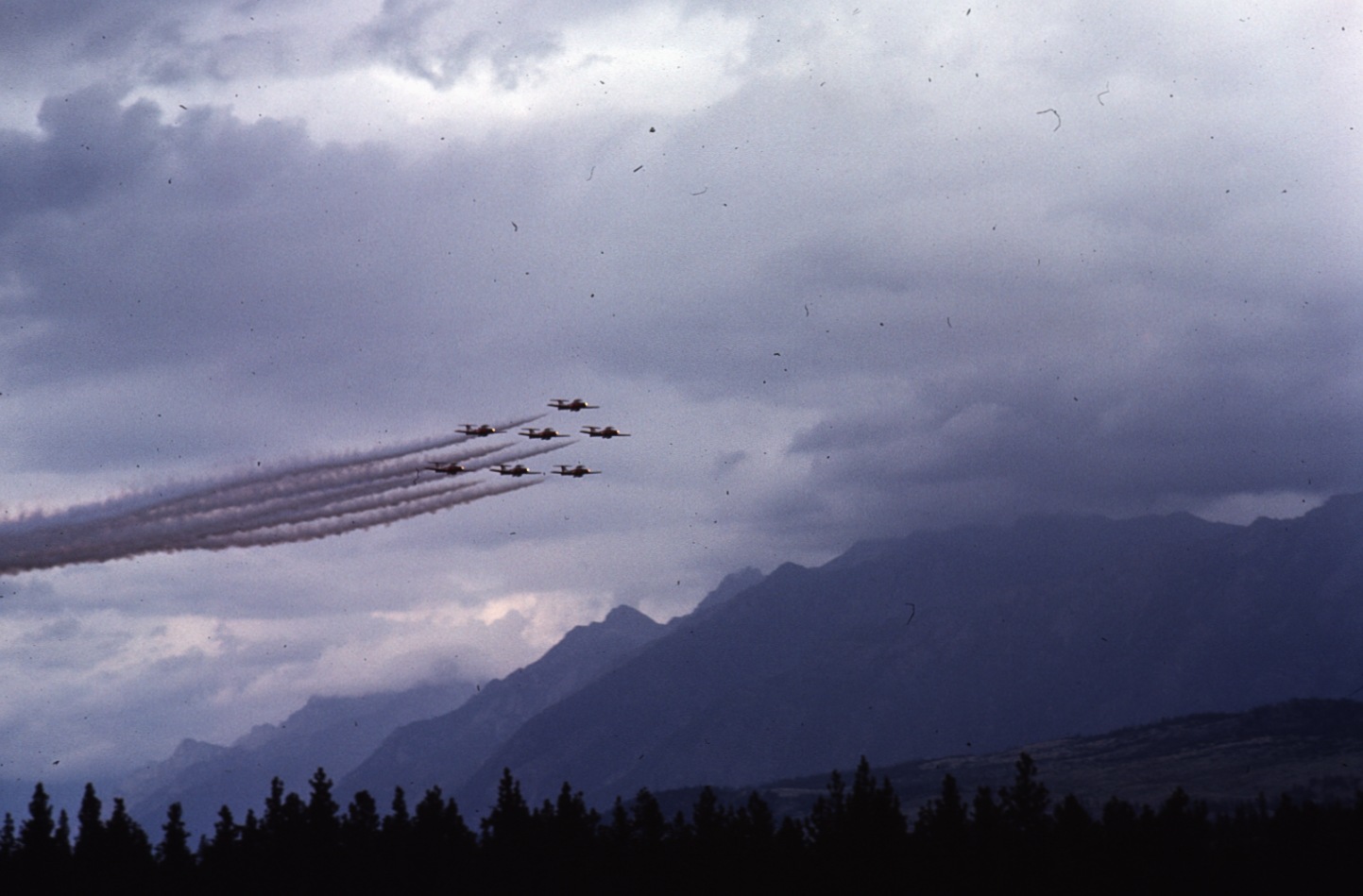
Wasa 1975 Airshow 10
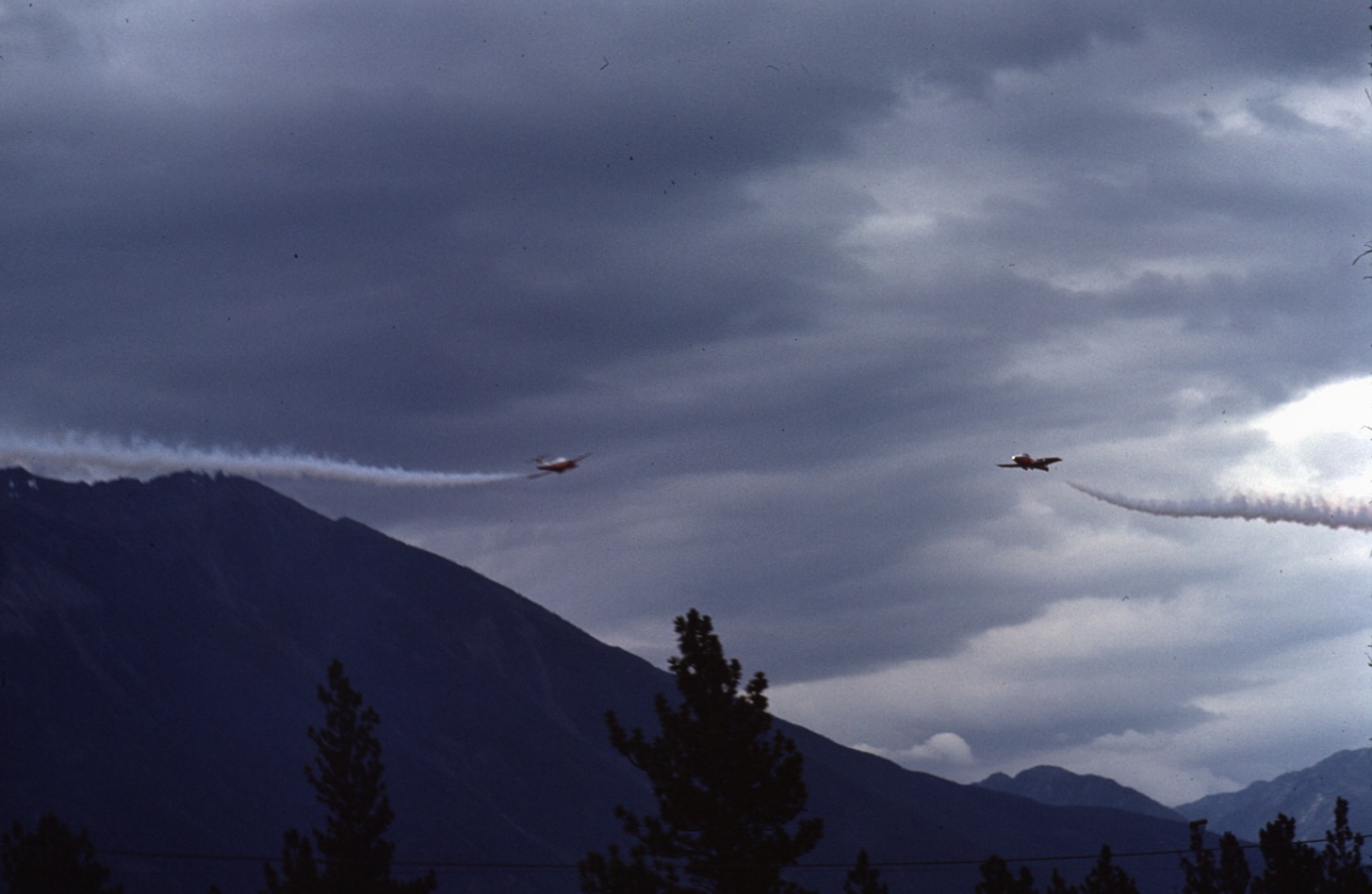
Wasa 1975 Airshow 6
SO2 plume at Sullivan
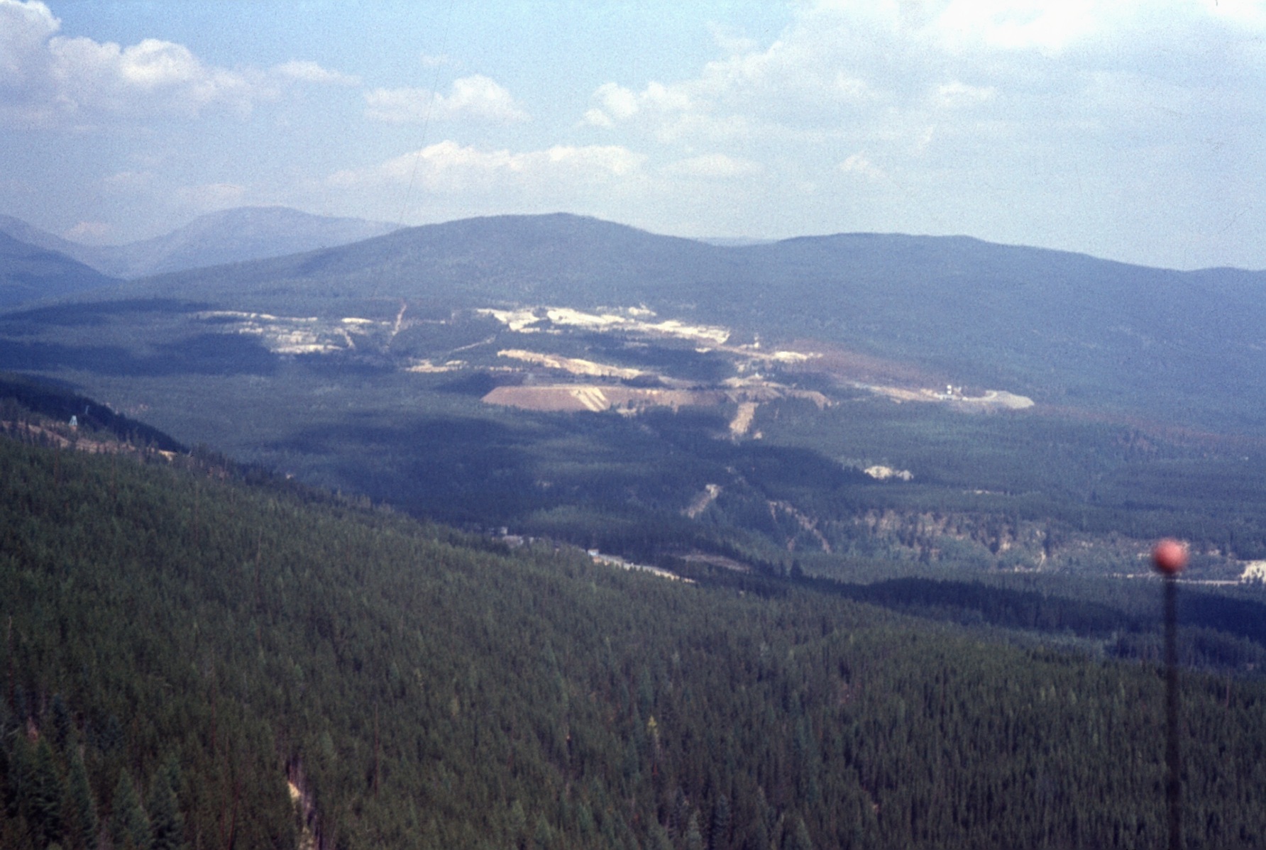
Sullivan mine from air 1973

Kootenay_River_BC Wasa 20100603_1356 Hwy 93
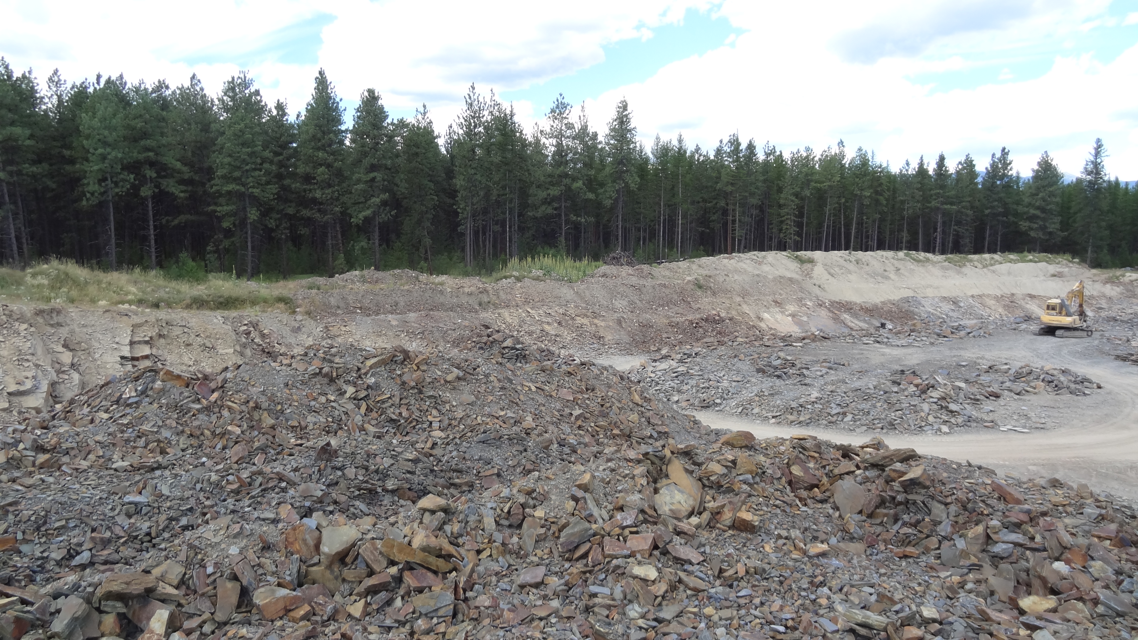
Golden Rock 42
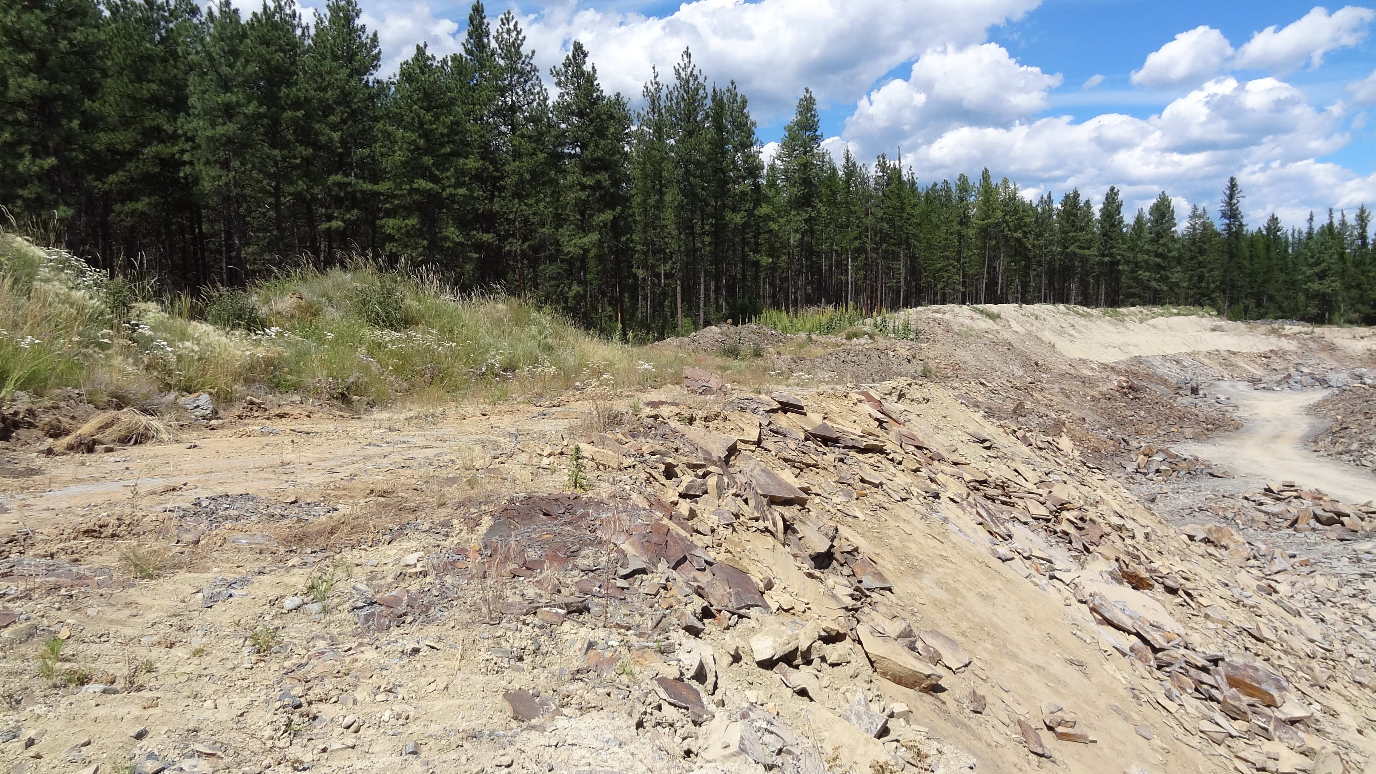
Golden Rock 25
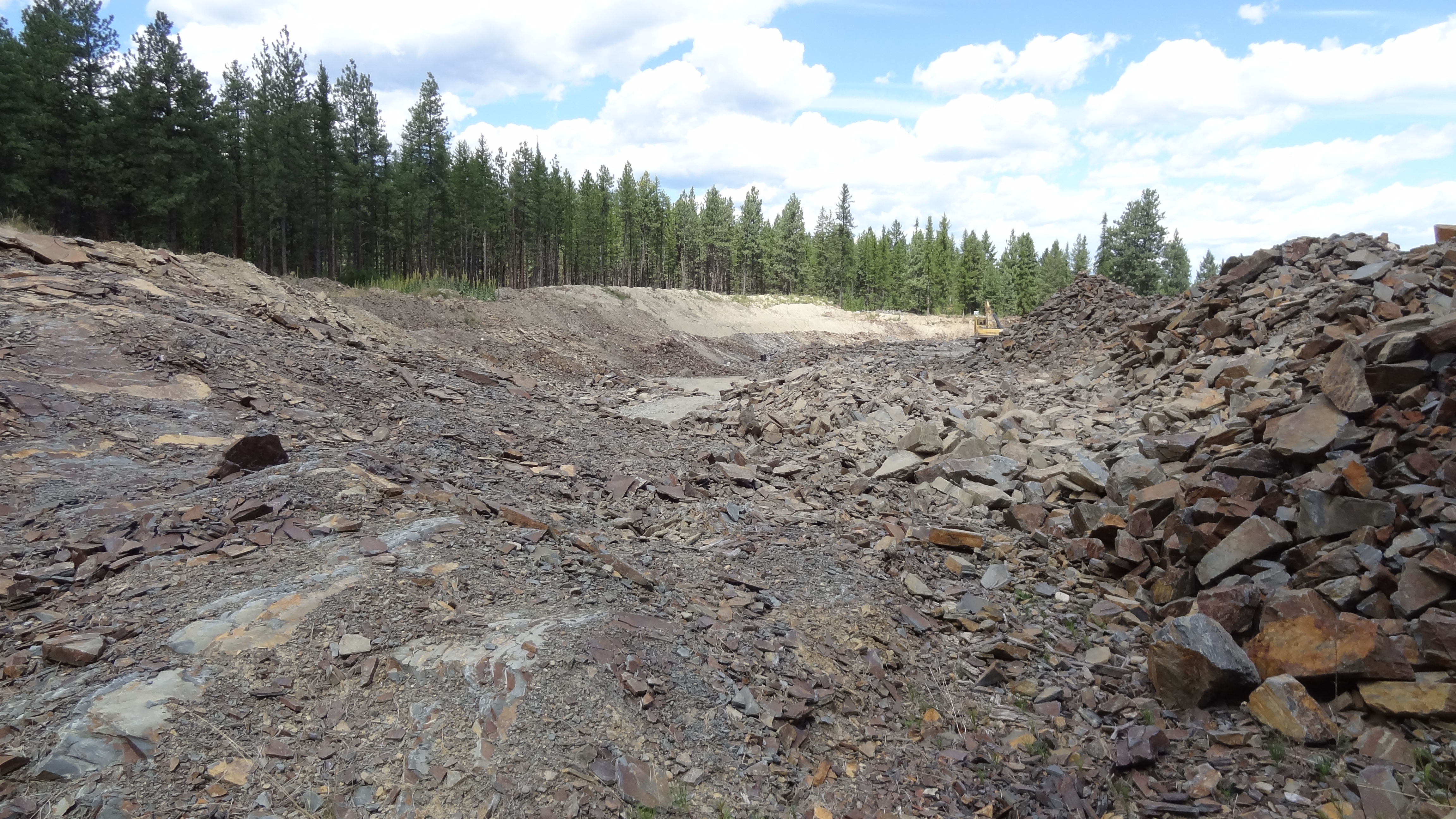
Golden Rock 21
Golden Rock 23
Topographic Map of East Kootenay E, BC, Canada
Find elevation by address:

Places near East Kootenay E, BC, Canada:
Hahas Lake
Ta Ta Creek
8164 Bc-95a
1642 Manor Rd
79 Morrison Rd
75 Morrison Rd
1437 Summer Rd
71 Morrison Rd
620 Nelson St
618 6 Ave
Townsite
25 5 Ave
425 5 Ave
268 Trail St
100 Deer Park Ave
Spokane Street
120 Spokane St
Wallinger Ave, Kimberley, BC V1A 1Z5, Canada
255 Hannay St
610 Knighton Rd
Recent Searches:
- Elevation of Corso Fratelli Cairoli, 35, Macerata MC, Italy
- Elevation of Tallevast Rd, Sarasota, FL, USA
- Elevation of 4th St E, Sonoma, CA, USA
- Elevation of Black Hollow Rd, Pennsdale, PA, USA
- Elevation of Oakland Ave, Williamsport, PA, USA
- Elevation of Pedrógão Grande, Portugal
- Elevation of Klee Dr, Martinsburg, WV, USA
- Elevation of Via Roma, Pieranica CR, Italy
- Elevation of Tavkvetili Mountain, Georgia
- Elevation of Hartfords Bluff Cir, Mt Pleasant, SC, USA