Elevation of 5 Ave, Kimberley, BC V1A 2S7, Canada

Location: Canada > British Columbia > East Kootenay > Kimberley > Townsite >

Longitude: -115.98708

Latitude: 49.6924414

Elevation: 1194m / 3917feet

Barometric Pressure: 88KPa

Elevation Map:

elevation map of 5 Ave, Kimberley, BC V1A 2S7, Canada

Satellite Map:

Satellite map of 5 Ave, Kimberley, BC V1A 2S7, Canada

Related Photos:

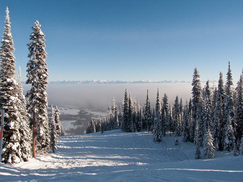
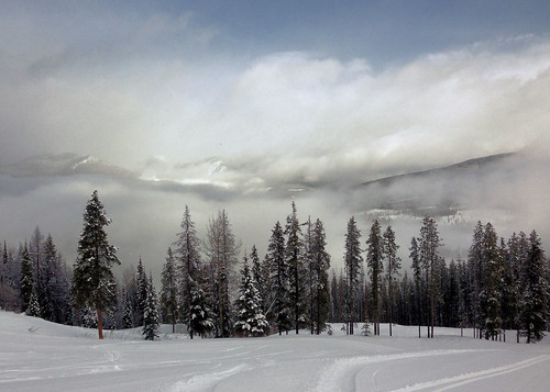
trees winter snow canada ski fog stars skiing britishcolumbia kimberley
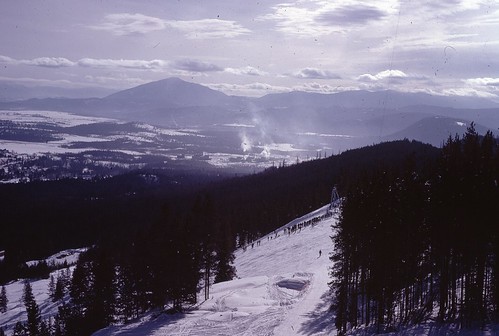
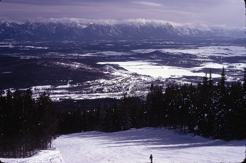
Nice view from Kimberley Ski Hill
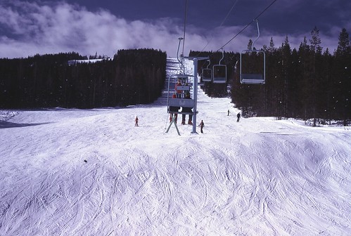
kimberley 1976 fromlift kimberleyskihill
View up Chair lift
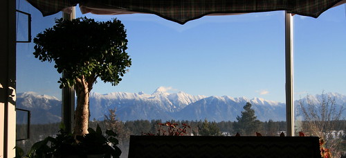
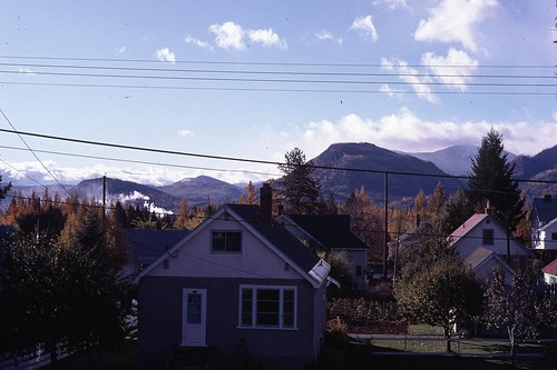
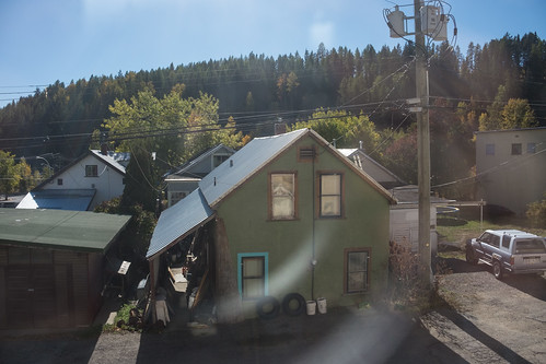
View from Living Room
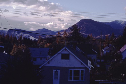
fall 1975 kimberley stoneshouse 245107thave
view from house
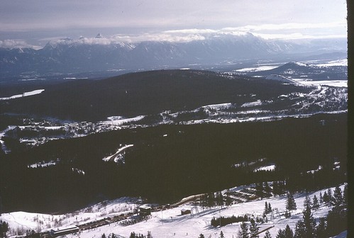
kimberley 1976 mtbaker fromlift rockymountaintrench kimberleyskihill
View SE from Chair
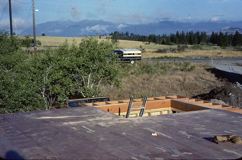
building kodachrome 1979 clearviewroad wycliffebc
view NW
fall 1975 kimberley stoneshouse 245107thave
fall view from house
kimberley 1976 fromlift rockymountaintrench kimberleyskihill steeplesrange
View E of Steeples from Chair
building kodachrome 1979 clearviewroad wycliffebc
view SE
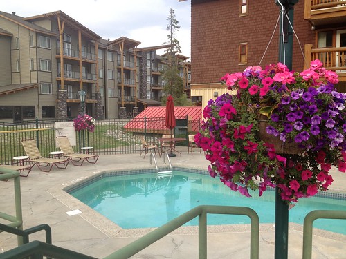
Our humble accommodations in Kimberly BC
The view from my bed!
bc britishcolumbia canada places tricklecreek above aerial course flag fun game golf golfcourse golfgreen golfing grass landscape landscaping manicured mountains nature outdoors par par3 professional recreation relax sandtraps scenic sport spring sunshine swing tournament tranquil trees view kimberley ca
Play Through or Enjoy the View
bc bootleggap britishcolumbia canada places active adult athletic ball blue brunette caucasian club compete competition country course eagle equipment exercise game golf golfer golfing grass green hit hobby iron leisure male man nature outdoors outside par pitch play player posture practice professional recreation relax shot sport sportsman stance swing view kimberley ca
Addressing the Ball
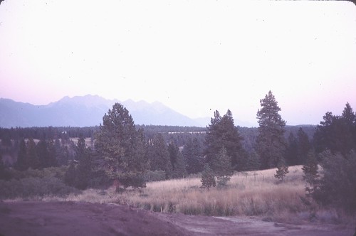
summer 1981 steeplesview
before landscaping
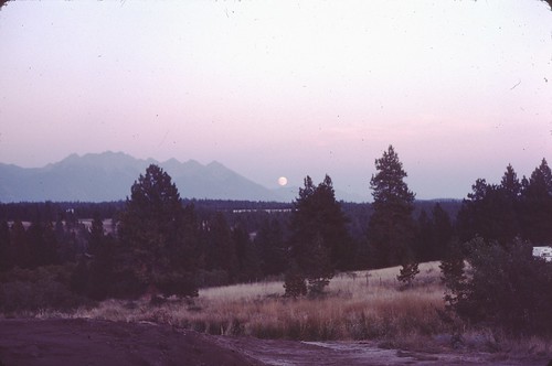
summer moonrise 1981 steeplesview
moonrise before landscaping
ca canada bc britishcolumbia kimberly kimberley
Kimberly View
square squareformat iphoneography instagramapp uploaded:by=instagram
Breakfast view.
sunset clouds sunrise bc britishcolumbia kimberly kimberley daybreak tricklecreek
Kimberley BC - Trickle Creek colourful skies 3
iphoto lakitmountain
Lakit Mountain from Clearview Road
square squareformat iphoneography instagramapp uploaded:by=instagram foursquare:venue=4ba3b23df964a520765538e3
Perfect day for hitting the slopes @atcheung @gen90
cats canada water northamerica kimberly cranbrook marysville therockies marystherockies
Canada First Week
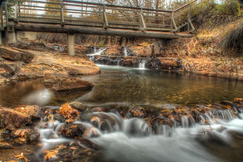
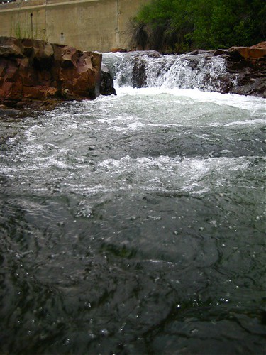
bridge autumn landscape outdoors waterfall day kimberley marysvillefalls
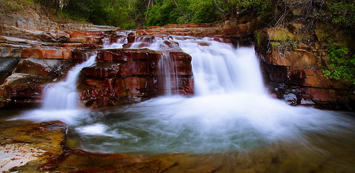
Marysville Falls
CP 8664 South, crossing St Mary's River. Kimberley Sub (April 1972)
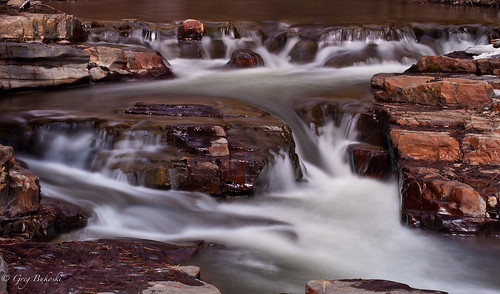
Marysville Falls
winter vacation snow march skiing britishcolumbia alpine kimberley 2014 alpineskiing downhillskiing kimberleyalpineresort
Kimberley alpine resort
square squareformat iphoneography instagramapp uploaded:by=instagram foursquare:venue=4e3c6a4f1838cb1b82e24837
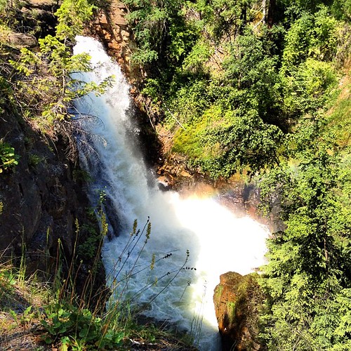
Marysville Falls
canada nature water landscape britishcolumbia falls rebelxt
Marysville Upper Falls
Canada Trip
iphoto lakitmountain
Lakit Mountain from Clearview Road
Canada Trip
cats canada water northamerica kimberly cranbrook marysville therockies marystherockies
Canada First Week
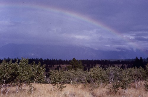
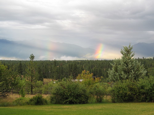
rainbow 1978 wycliffebc beforebuilding
Wycliffe 8
Canada Trip
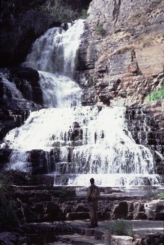
kodachrome geology 1977 johnhamilton loweraldridgefm uppermarkcreekfalls
Upper Mark Creek Falls
rainbow
Aug 09 052
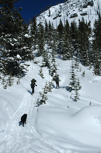
mountain snow canada ski mountains skins skiing bc britishcolumbia backcountry range purcell kootenay purcells eastkootenays markcreek markcreekcabin
Goin' Up
northernwaterthrush parkesianoveboracensis
Northern Waterthrush
douglas kimberley 1976 kimberleyskihill mamboskirun
Doug on Mambo