Elevation of 71 Morrison Rd, Kimberley, BC V1A 2L6, Canada
| Latitude | 49.6918549 |
|---|---|
| Longitude | -115.974847 |
| Elevation | 1130m / 3707feet |
| Barometric Pressure | 885KPa |
Related Photos:

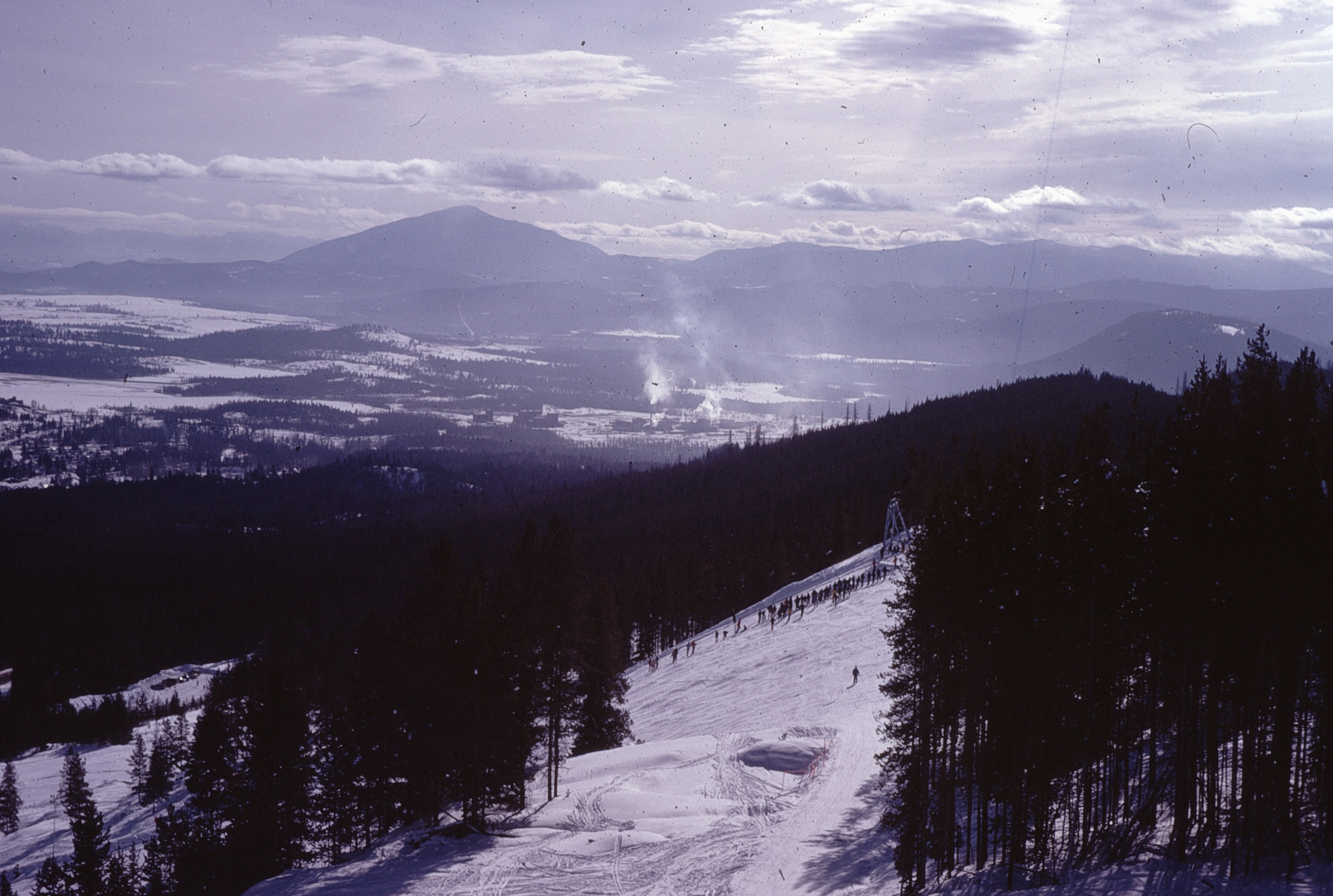
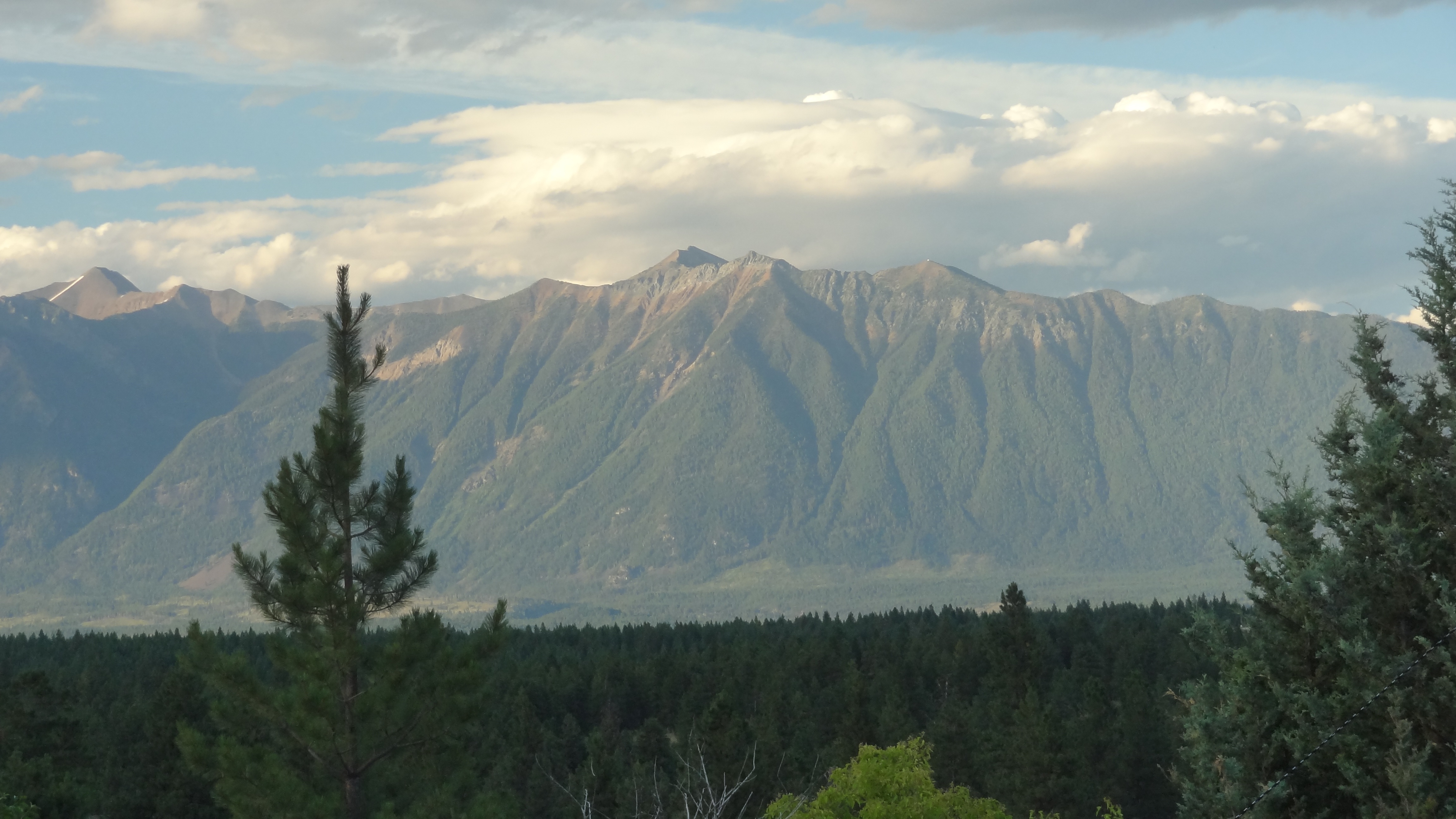
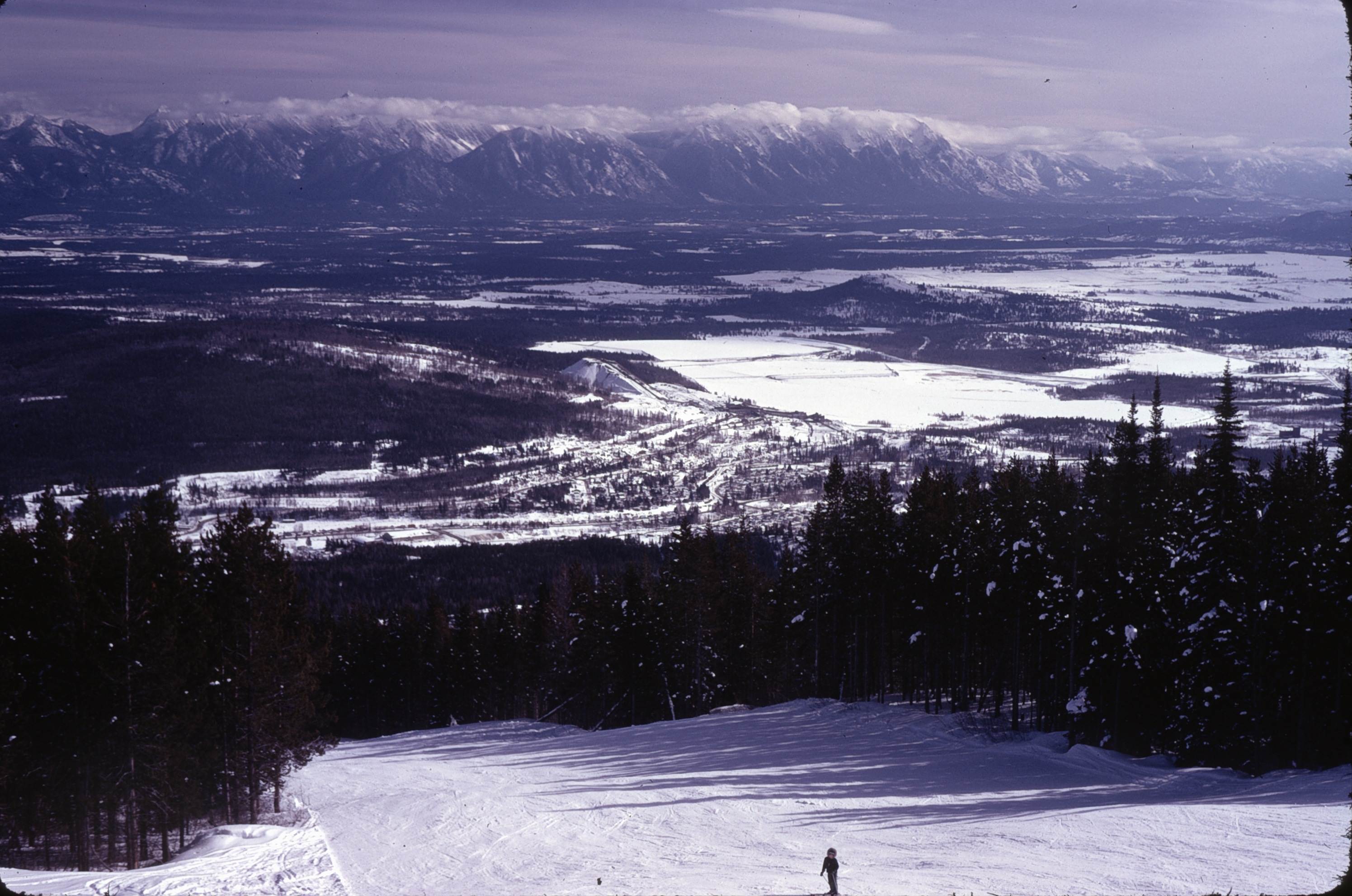
Nice view from Kimberley Ski Hill
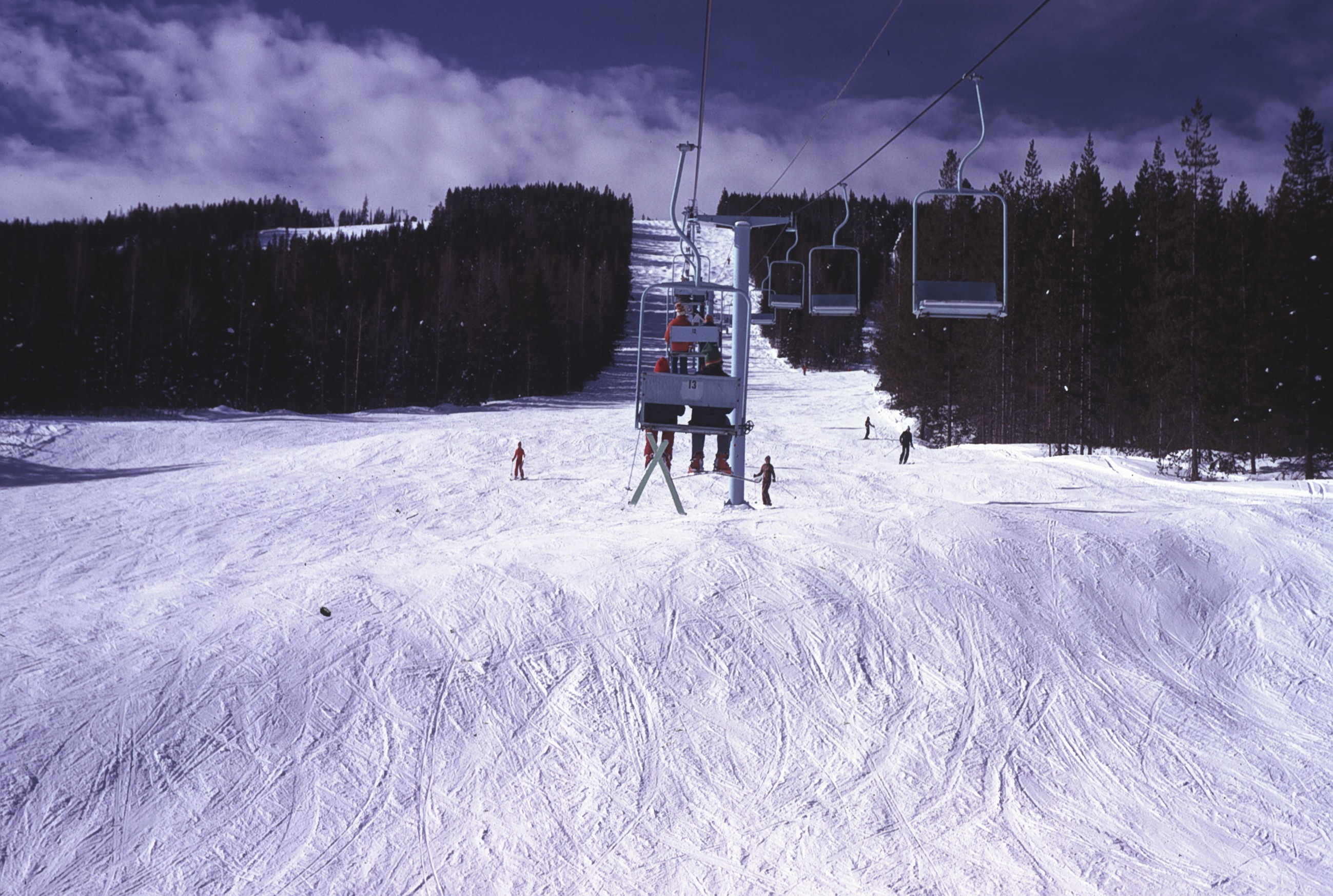
View up Chair lift
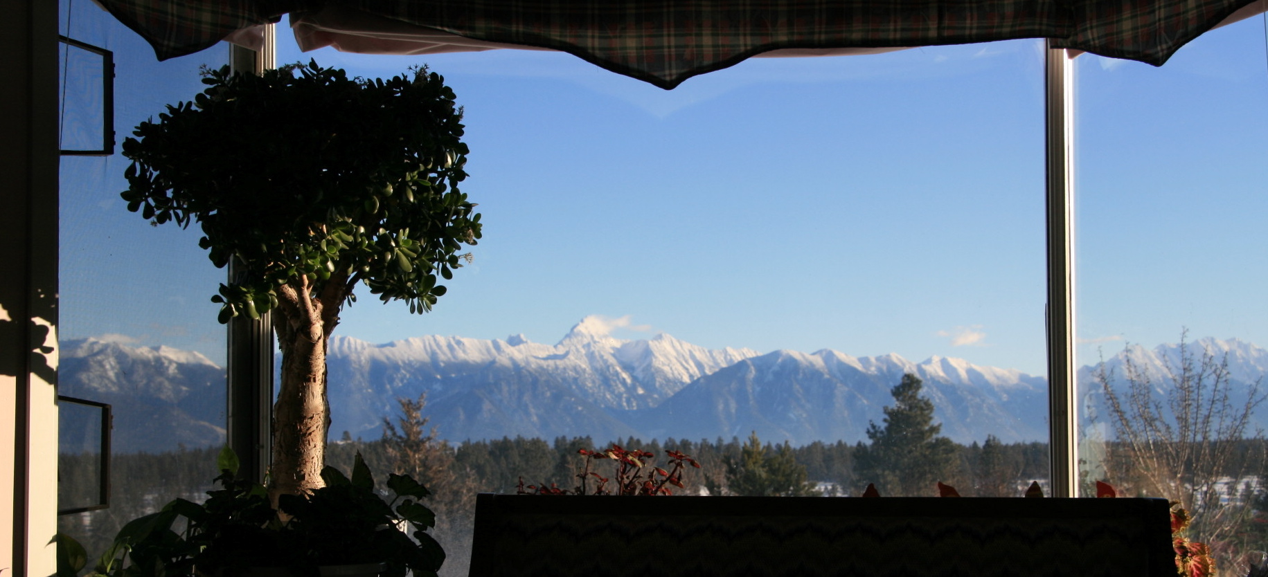
View from Living Room
view from house
View SE from Chair

view NW
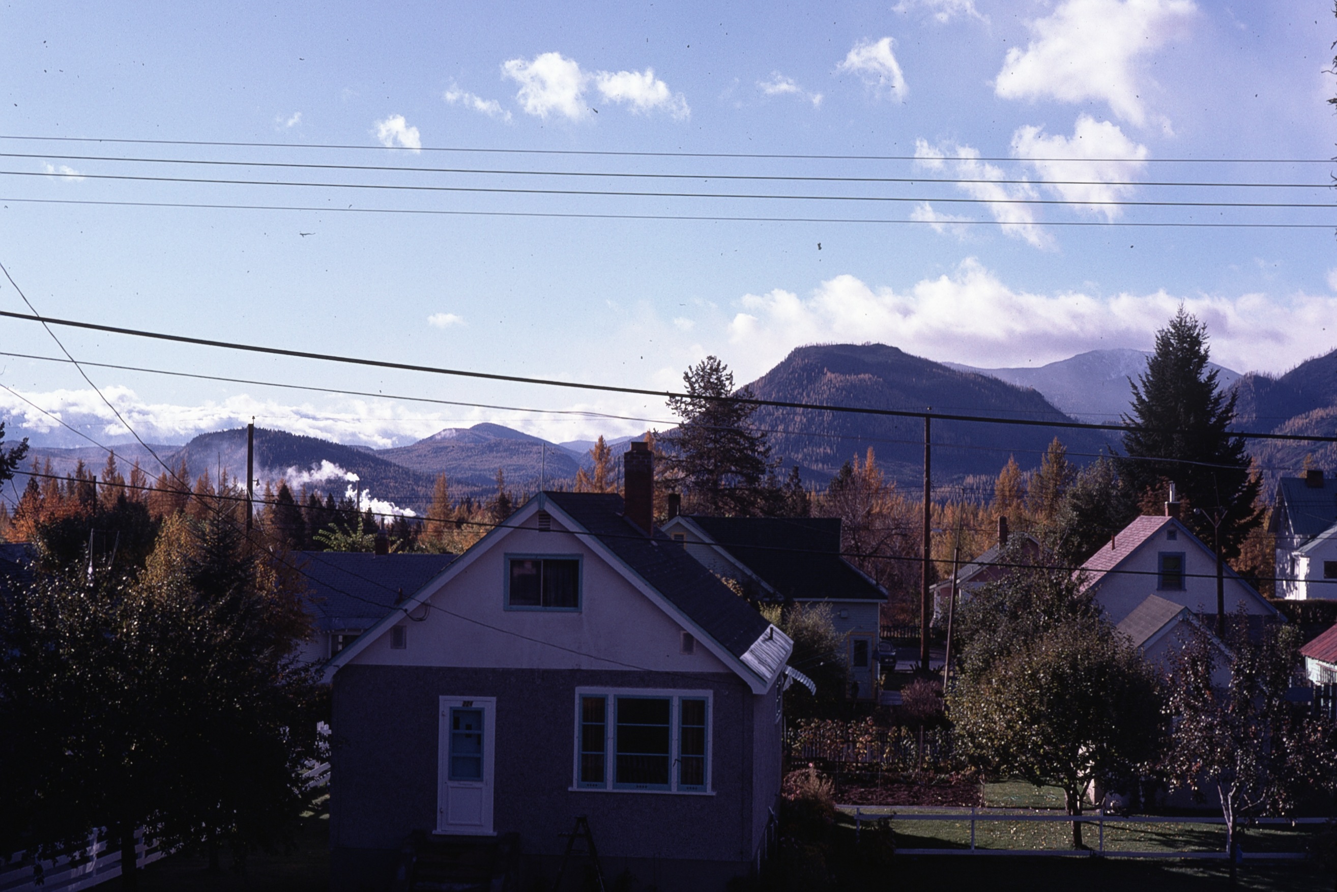
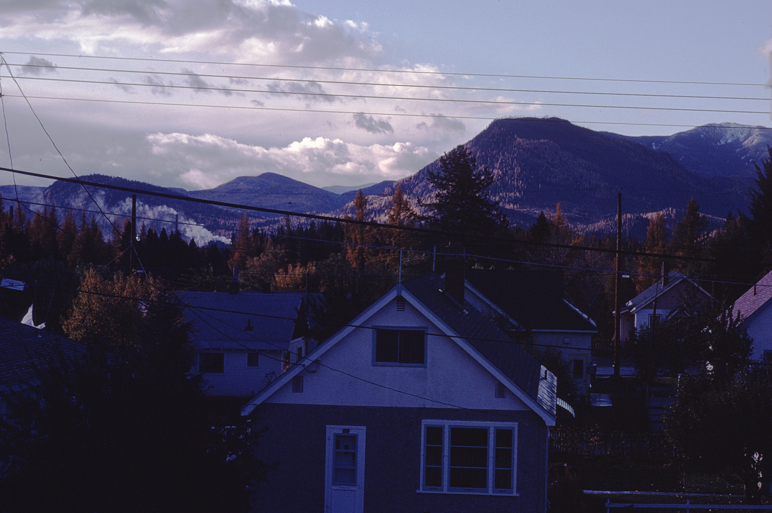
fall view from house
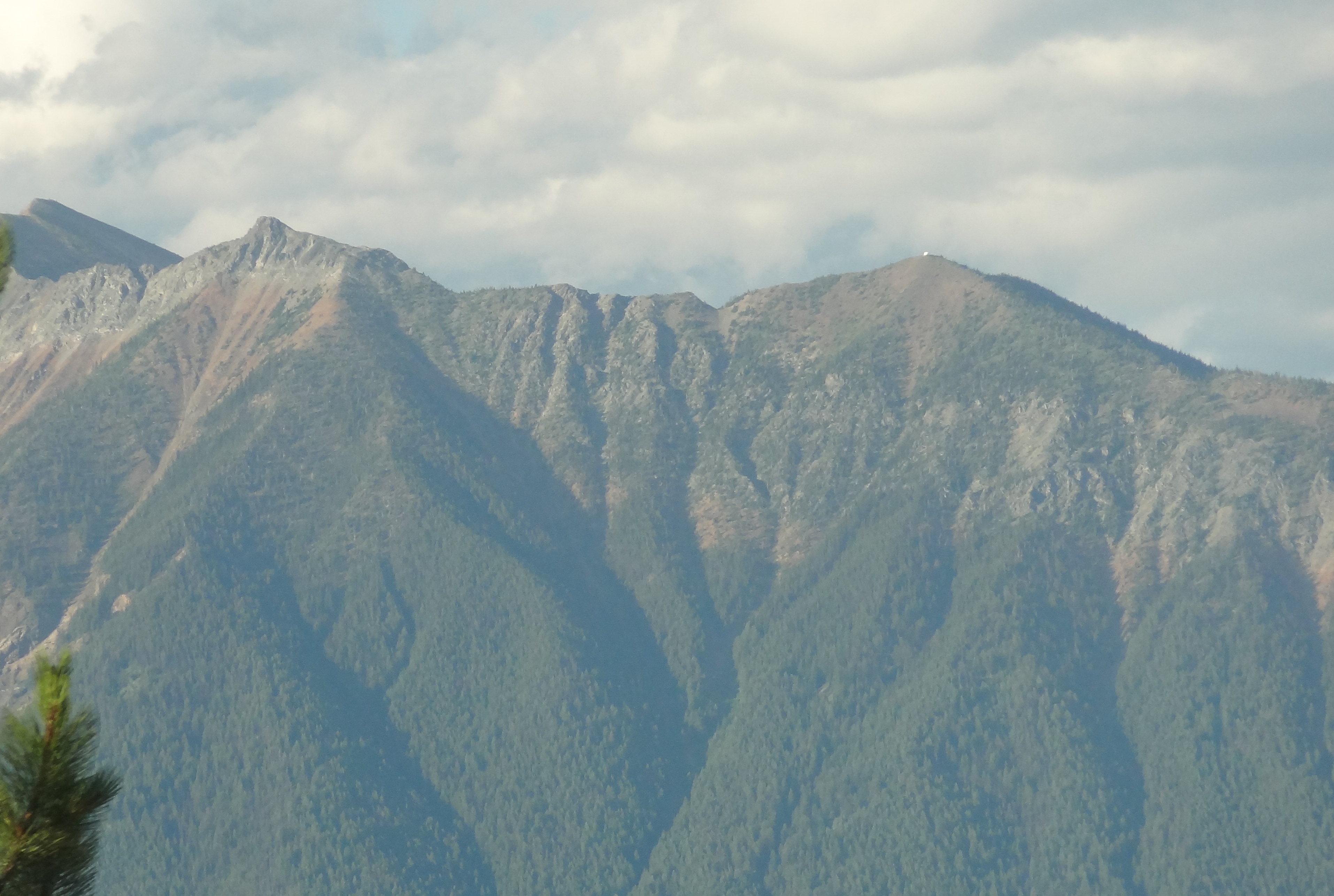
View E of Steeples from Chair
view SE
Our humble accommodations in Kimberly BC

The view from my bed!
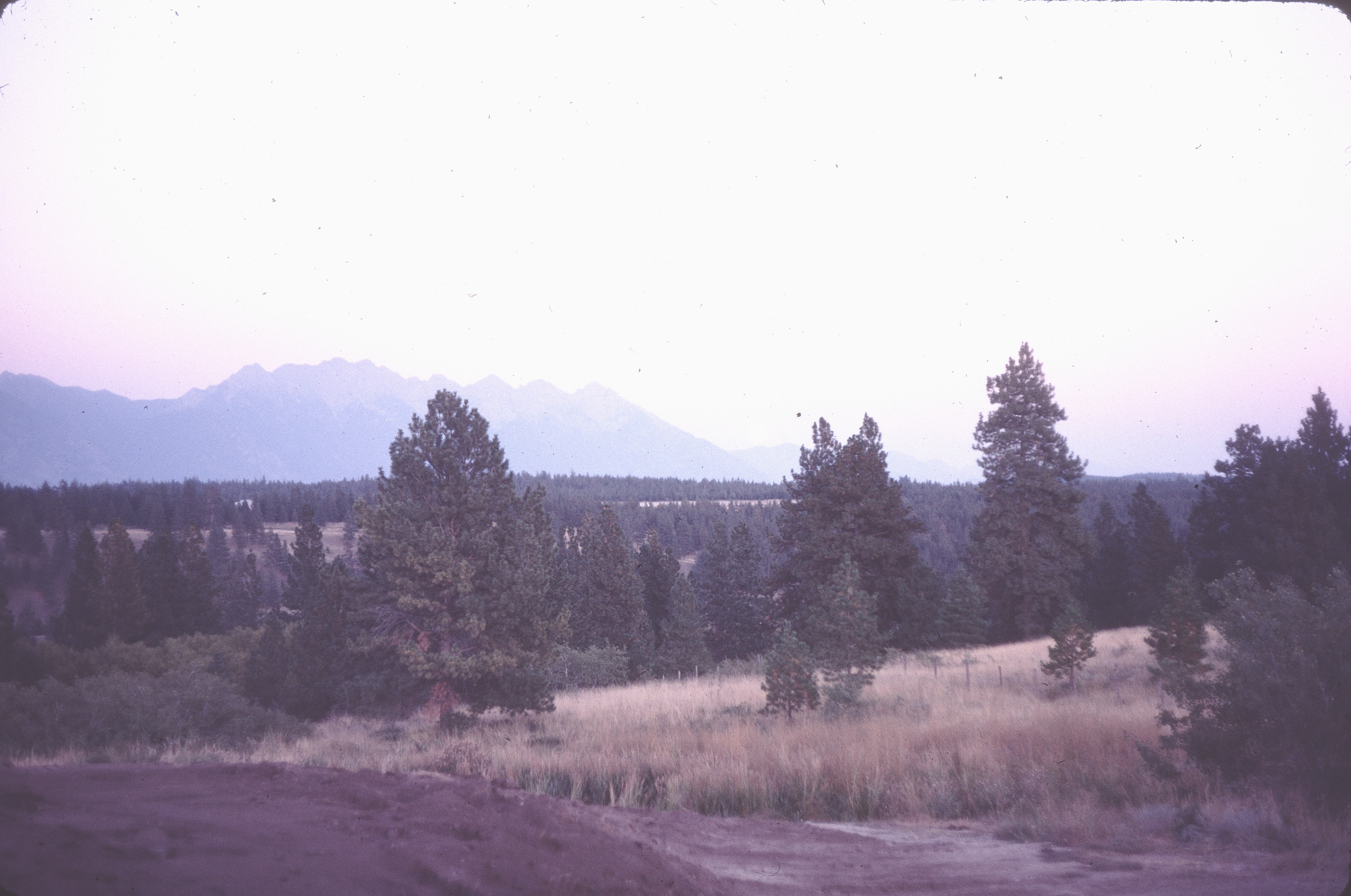
before landscaping
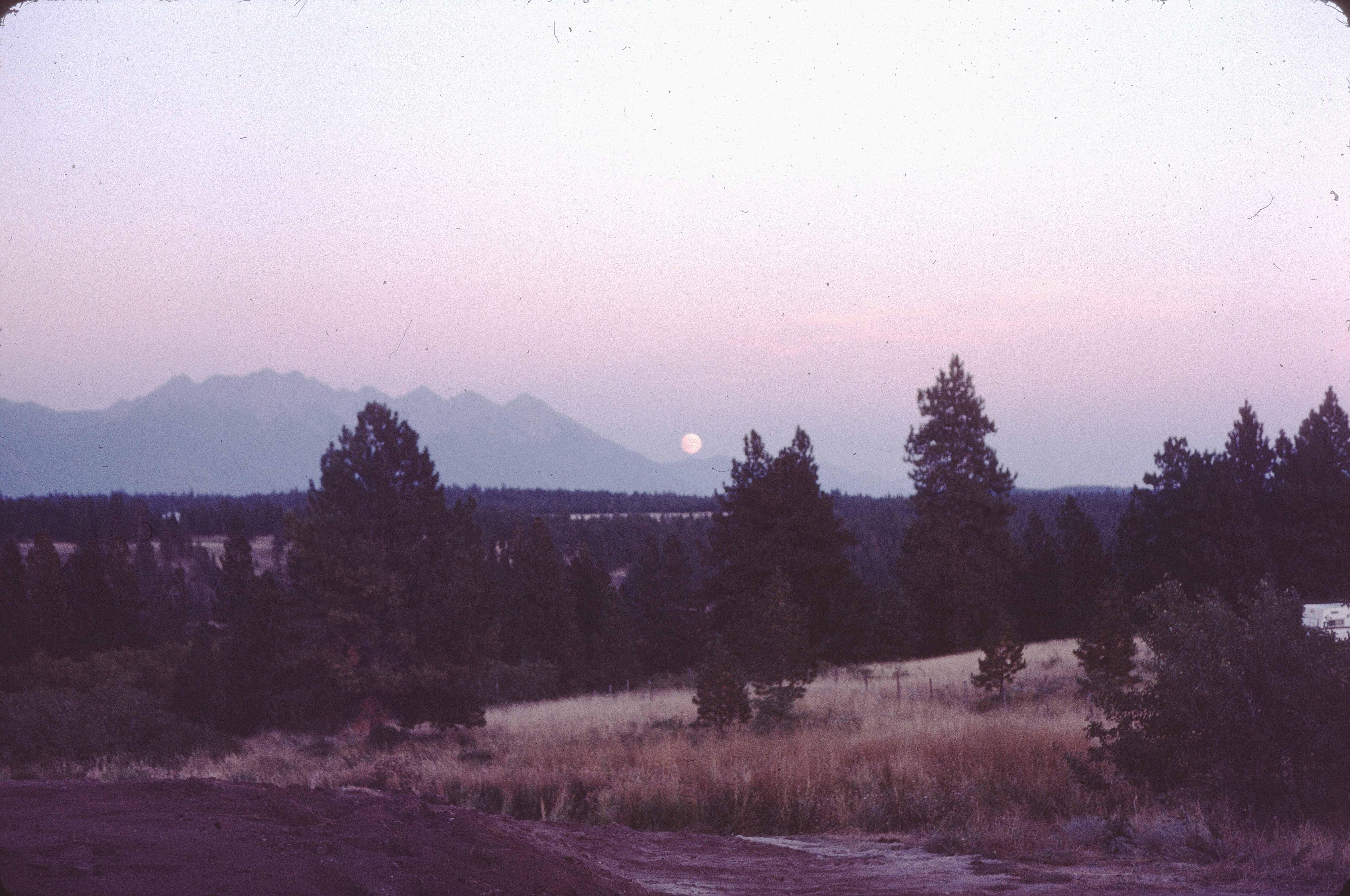
moonrise before landscaping

Breakfast view.

Addressing the Ball

Play Through or Enjoy the View
Kimberly View
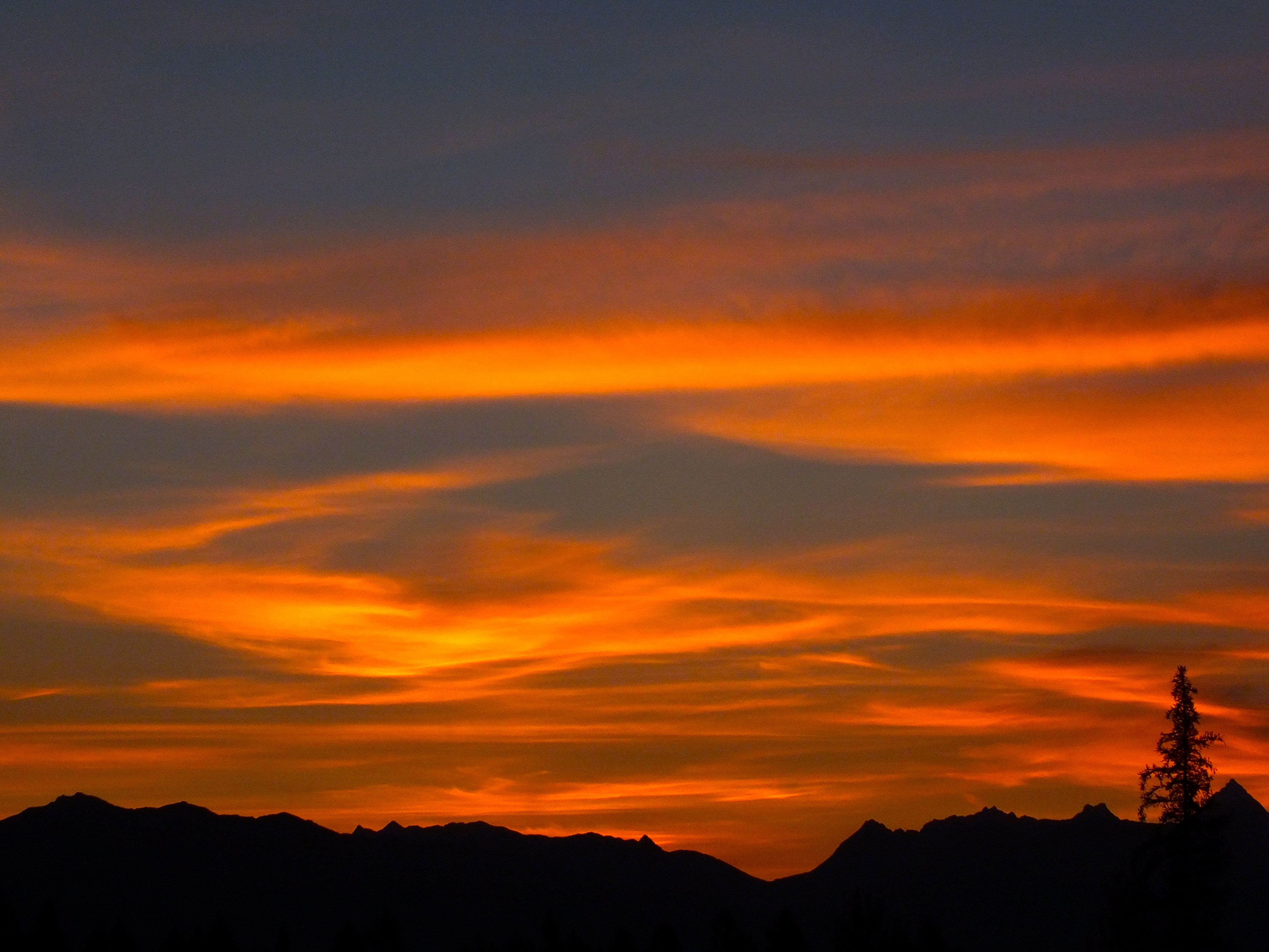
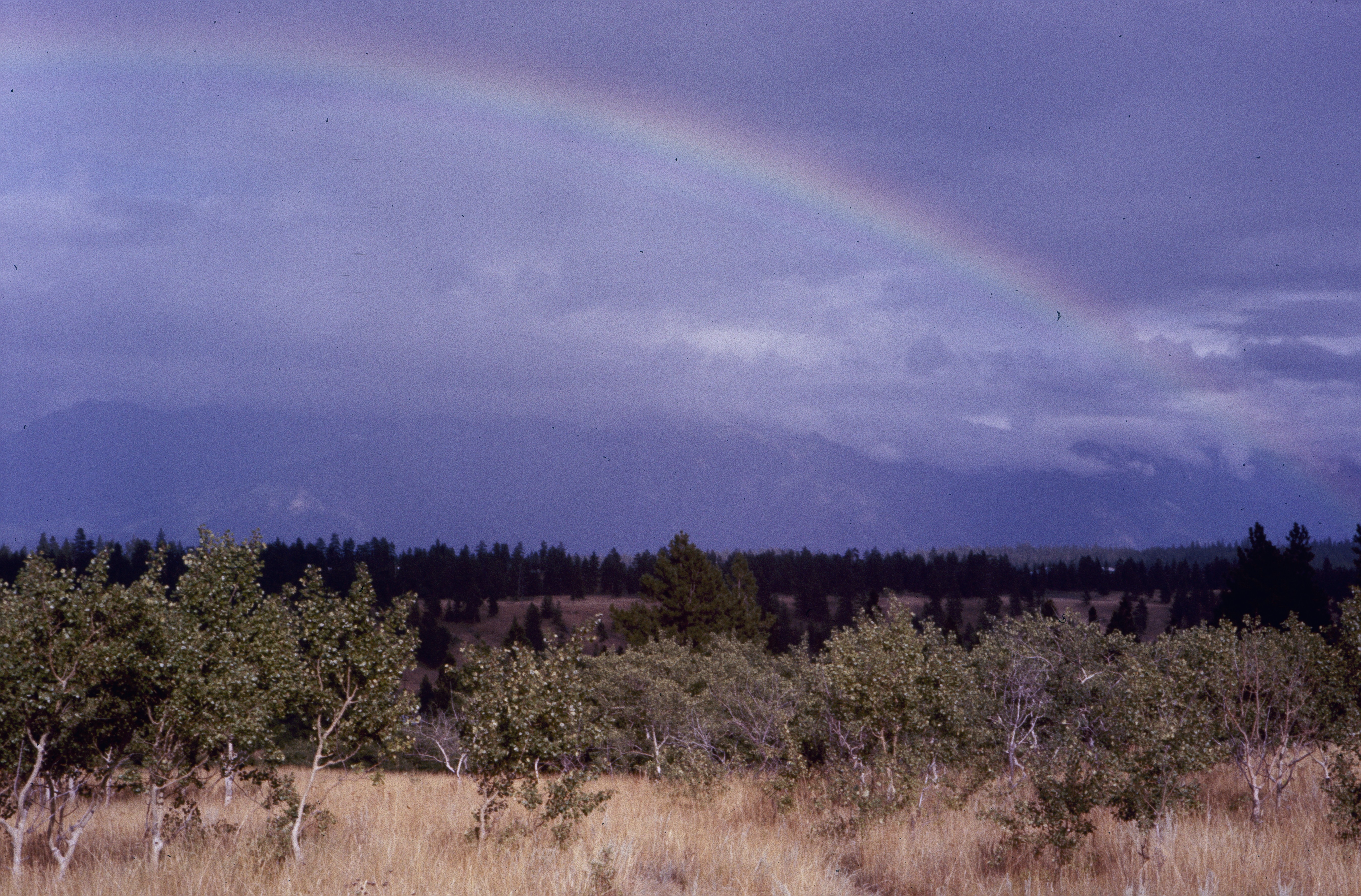
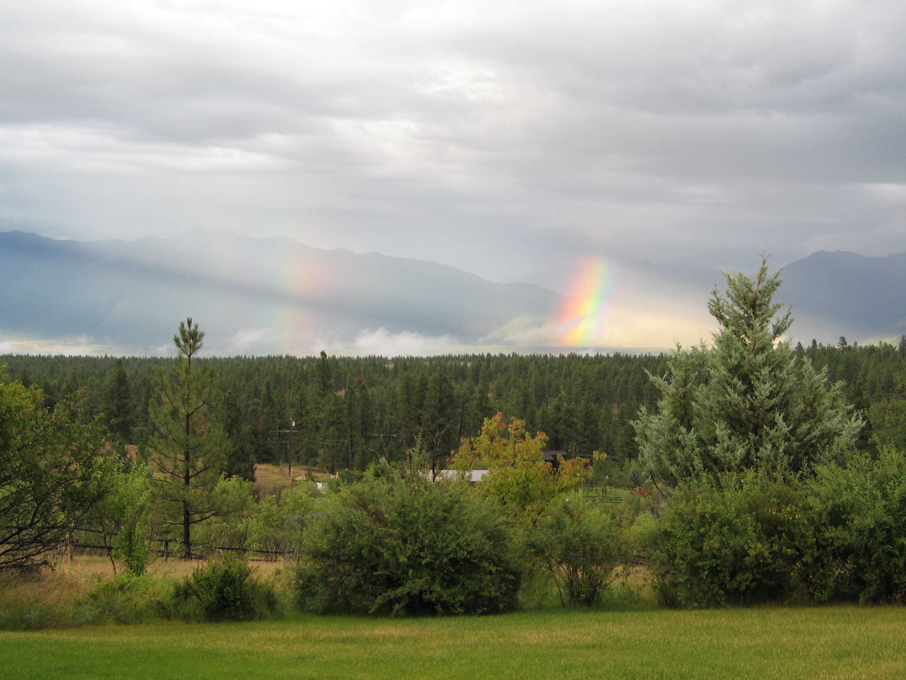
Kimberley BC - Trickle Creek colourful skies 3
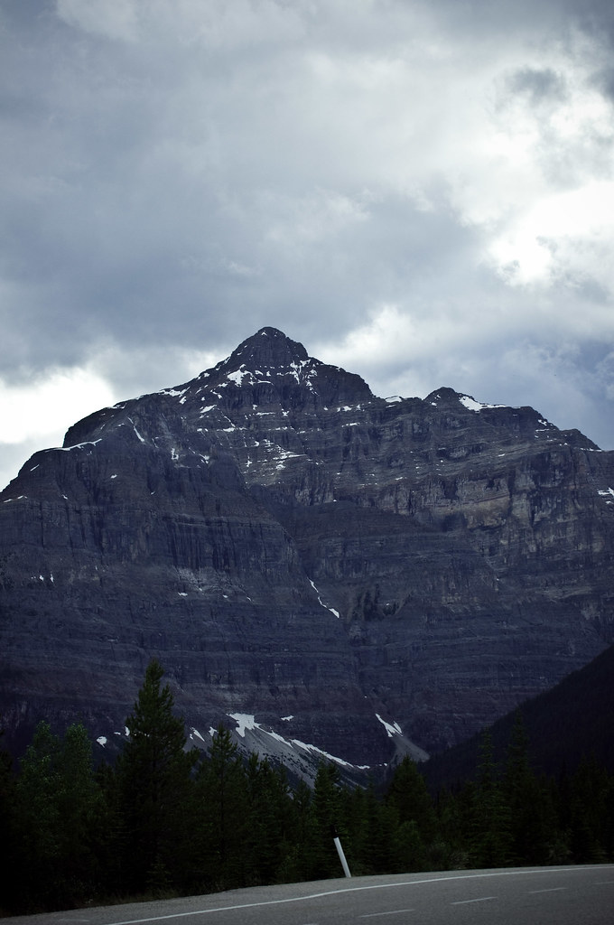
Lakit Mountain from Clearview Road
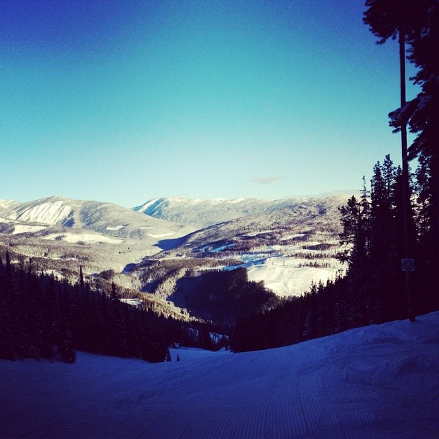
Perfect day for hitting the slopes @atcheung @gen90
Canada First Week
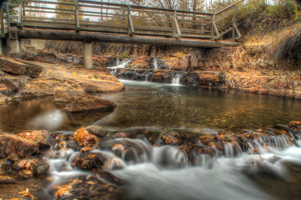
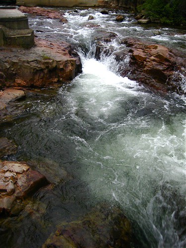
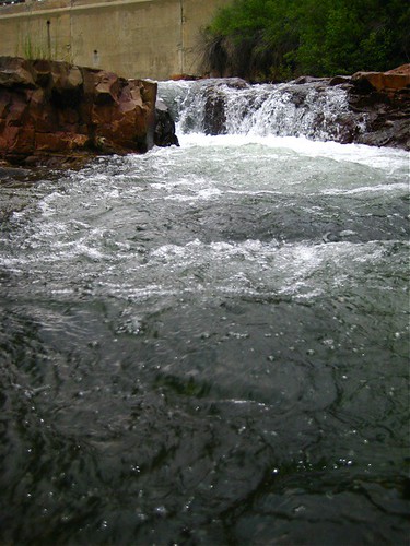
Marysville Falls

CP 8664 South, crossing St Mary's River. Kimberley Sub (April 1972)

Marysville Falls
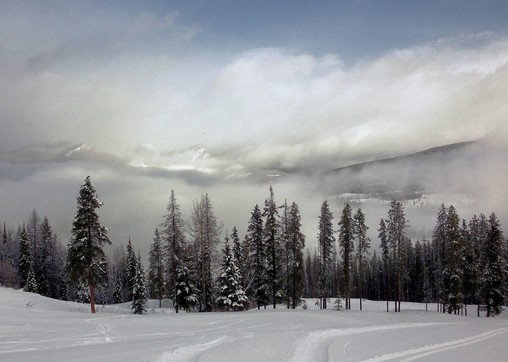
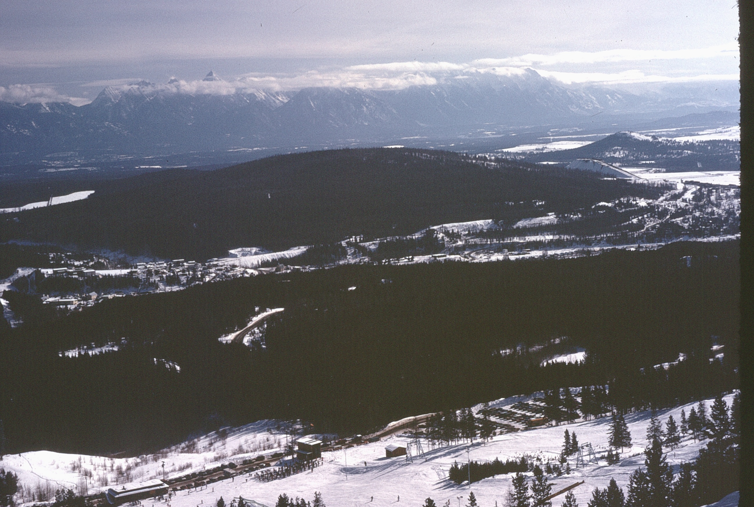
Kimberley alpine resort
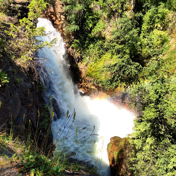
Marysville Falls
Marysville Upper Falls
Canada Trip
Lakit Mountain from Clearview Road
Canada First Week
Wycliffe 8
Canada Trip
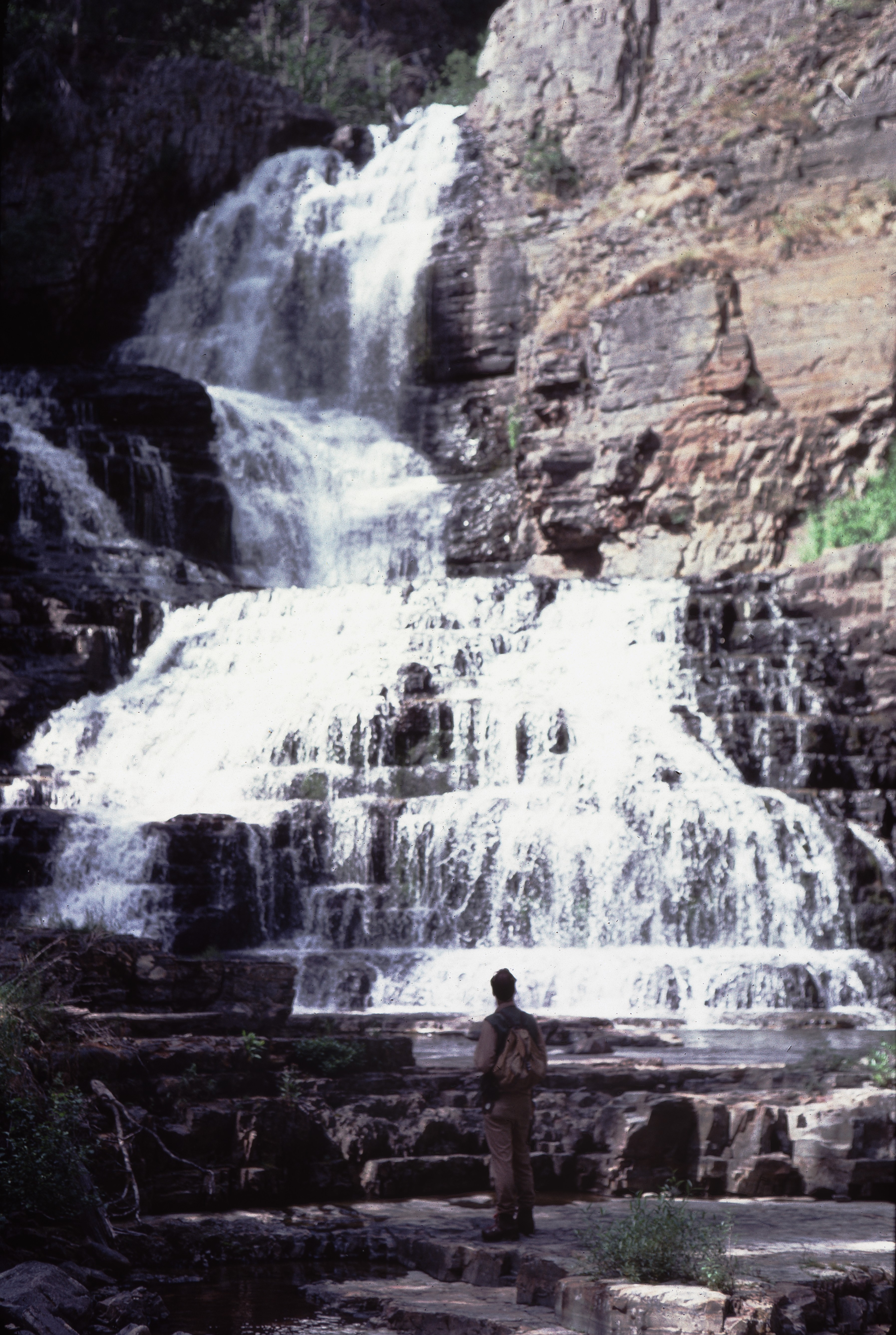
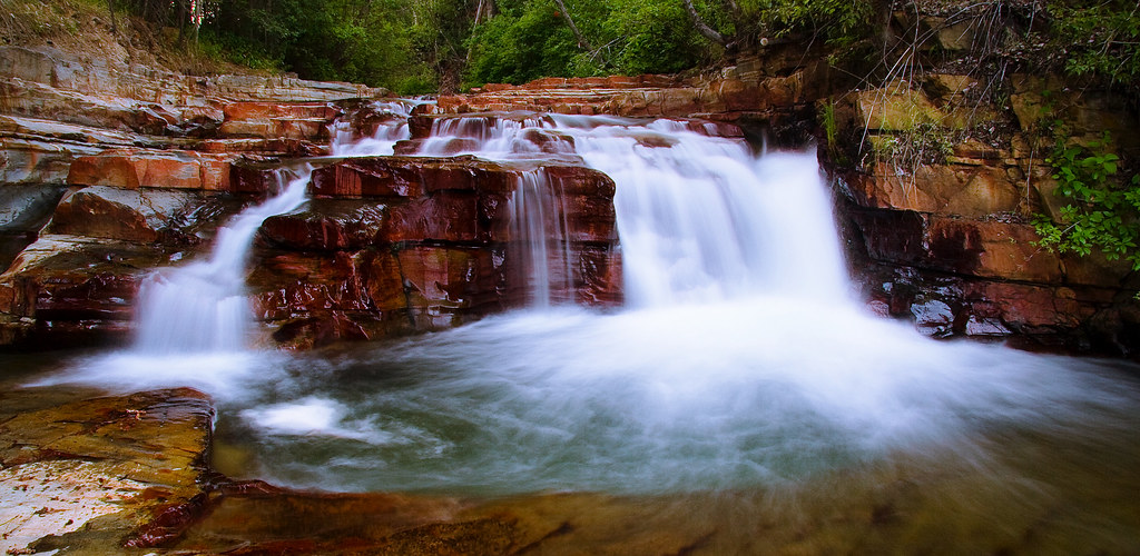
Upper Mark Creek Falls
Aug 09 052
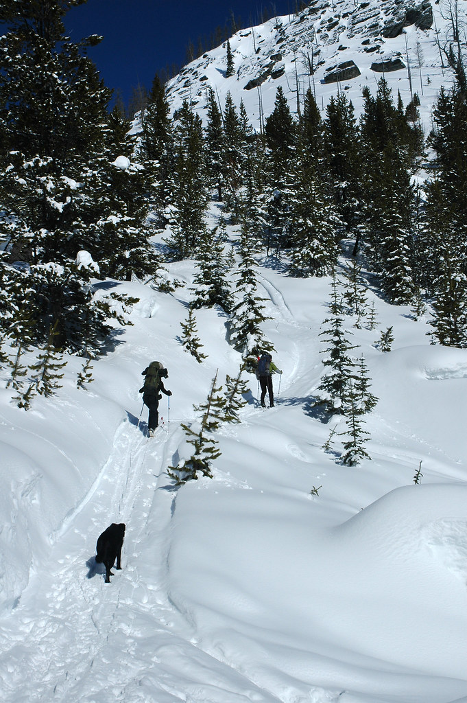
Goin' Up

Northern Waterthrush
Doug on Mambo

Kimberley chair lift
Topographic Map of 71 Morrison Rd, Kimberley, BC V1A 2L6, Canada
Find elevation by address:
Places near 71 Morrison Rd, Kimberley, BC V1A 2L6, Canada:
75 Morrison Rd
79 Morrison Rd
620 Nelson St
100 Deer Park Ave
268 Trail St
Spokane Street
120 Spokane St
25 5 Ave
Wallinger Ave, Kimberley, BC V1A 1Z5, Canada
Townsite
425 5 Ave
255 Hannay St
618 6 Ave
235 Burdett St
129 Norton Ave
58 Trickle Ridge Pl
Blarchmont
343 Ritchie St
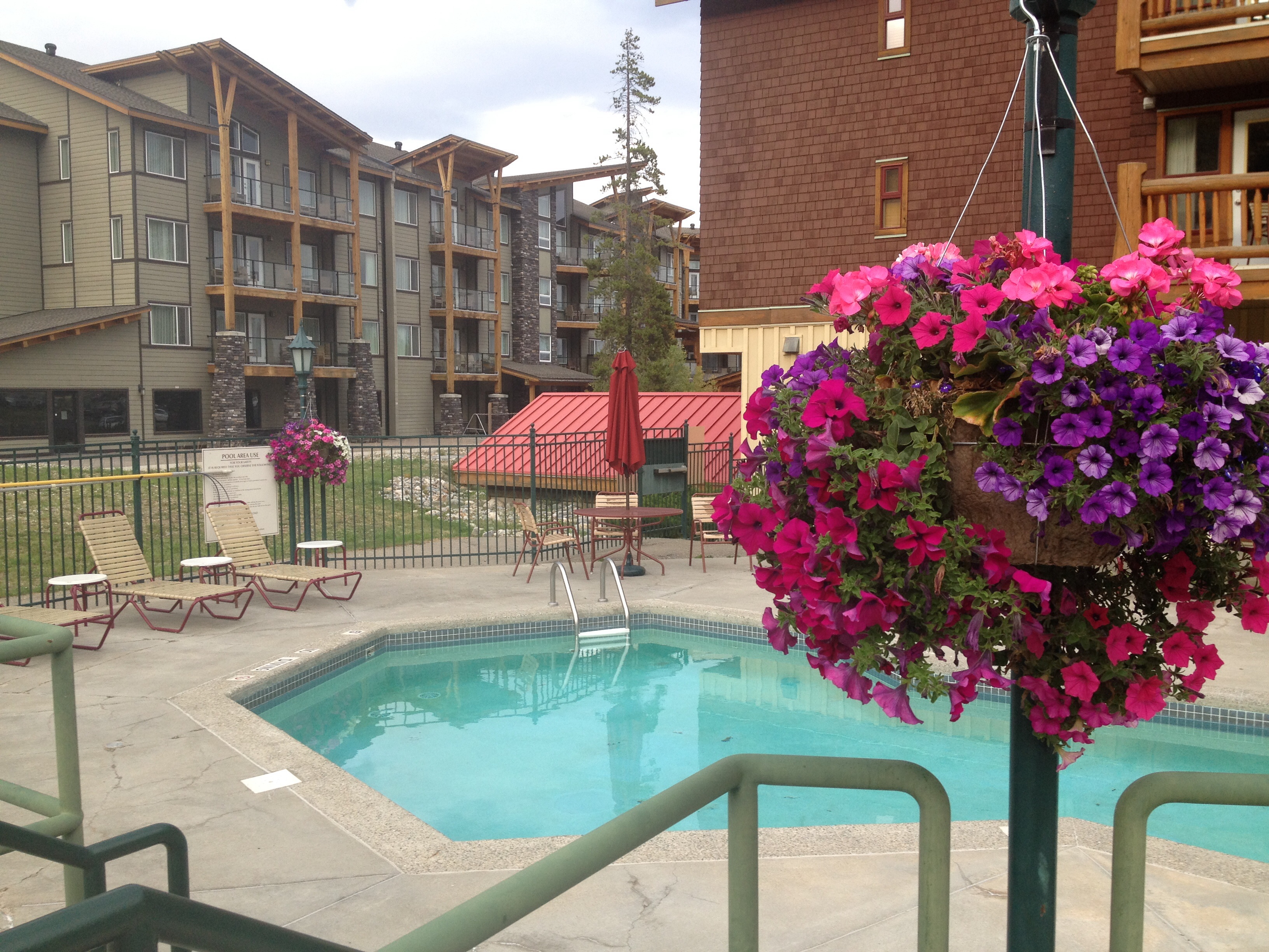
Trickle Creek Lodge
Kimberley Nordic Center
Recent Searches:
- Elevation of 104, Chancery Road, Middletown Township, Bucks County, Pennsylvania, 19047, USA
- Elevation of 1212, Cypress Lane, Dayton, Liberty County, Texas, 77535, USA
- Elevation map of Central Hungary, Hungary
- Elevation map of Pest, Central Hungary, Hungary
- Elevation of Pilisszentkereszt, Pest, Central Hungary, Hungary
- Elevation of Dharamkot Tahsil, Punjab, India
- Elevation of Bhinder Khurd, Dharamkot Tahsil, Punjab, India
- Elevation of 2881, Chabot Drive, San Bruno, San Mateo County, California, 94066, USA
- Elevation of 10370, West 107th Circle, Westminster, Jefferson County, Colorado, 80021, USA
- Elevation of 611, Roman Road, Old Ford, Bow, London, England, E3 2RW, United Kingdom
- Elevation of 116, Beartown Road, Underhill, Chittenden County, Vermont, 05489, USA
- Elevation of Window Rock, Colfax County, New Mexico, 87714, USA
- Elevation of 4807, Rosecroft Street, Kempsville Gardens, Virginia Beach, Virginia, 23464, USA
- Elevation map of Matawinie, Quebec, Canada
- Elevation of Sainte-Émélie-de-l'Énergie, Matawinie, Quebec, Canada
- Elevation of Rue du Pont, Sainte-Émélie-de-l'Énergie, Matawinie, Quebec, J0K2K0, Canada
- Elevation of 8, Rue de Bécancour, Blainville, Thérèse-De Blainville, Quebec, J7B1N2, Canada
- Elevation of Wilmot Court North, 163, University Avenue West, Northdale, Waterloo, Region of Waterloo, Ontario, N2L6B6, Canada
- Elevation map of Panamá Province, Panama
- Elevation of Balboa, Panamá Province, Panama