Elevation of Hahas Lake, East Kootenay E, BC V0B 2H0, Canada
Location: Canada > British Columbia > East Kootenay > East Kootenay C > Ta Ta Creek >
Longitude: -115.82670
Latitude: 49.7462299
Elevation: 900m / 2953feet
Barometric Pressure: 91KPa
Elevation Map:
Satellite Map:
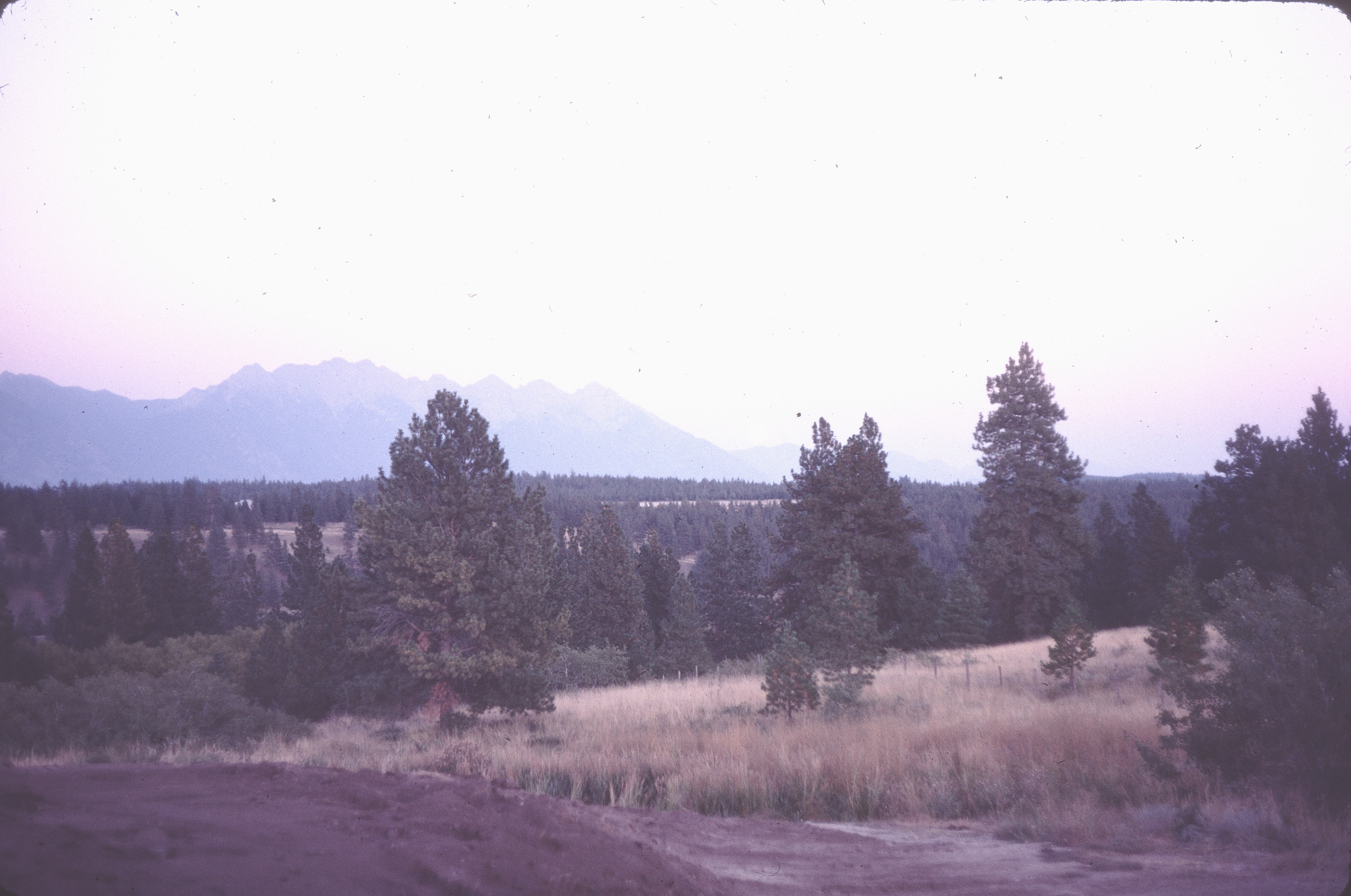
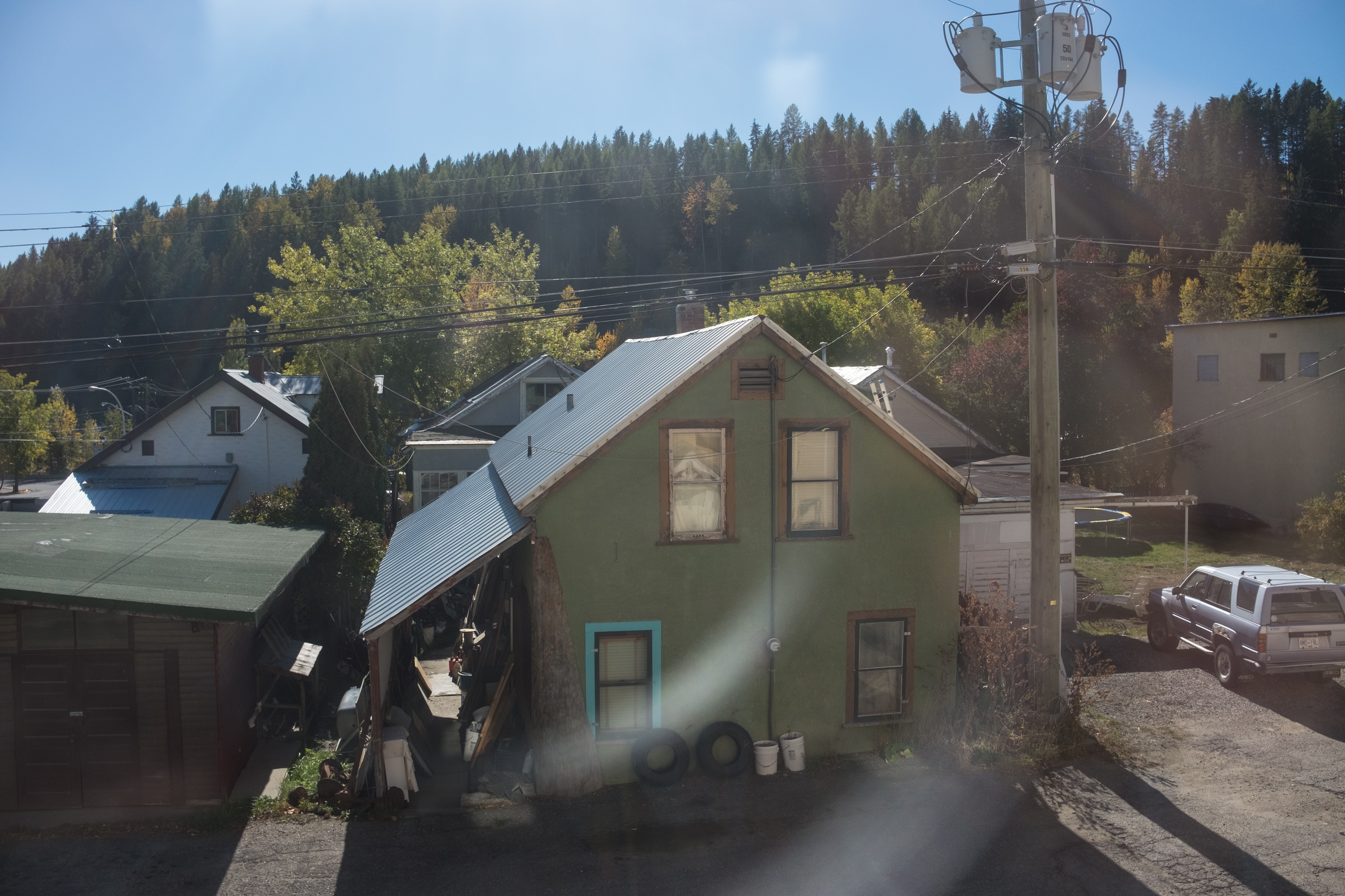
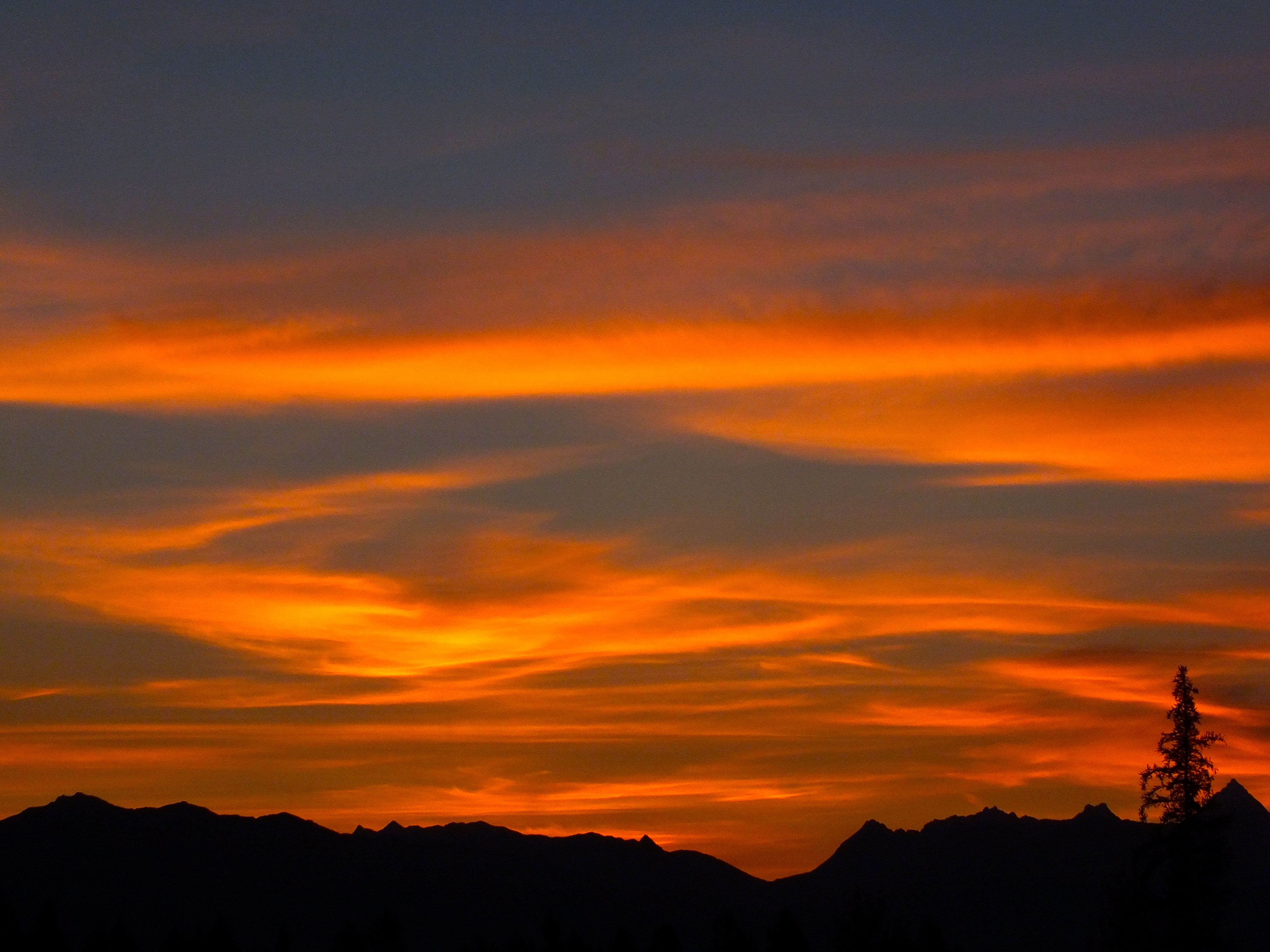
Related Photos:
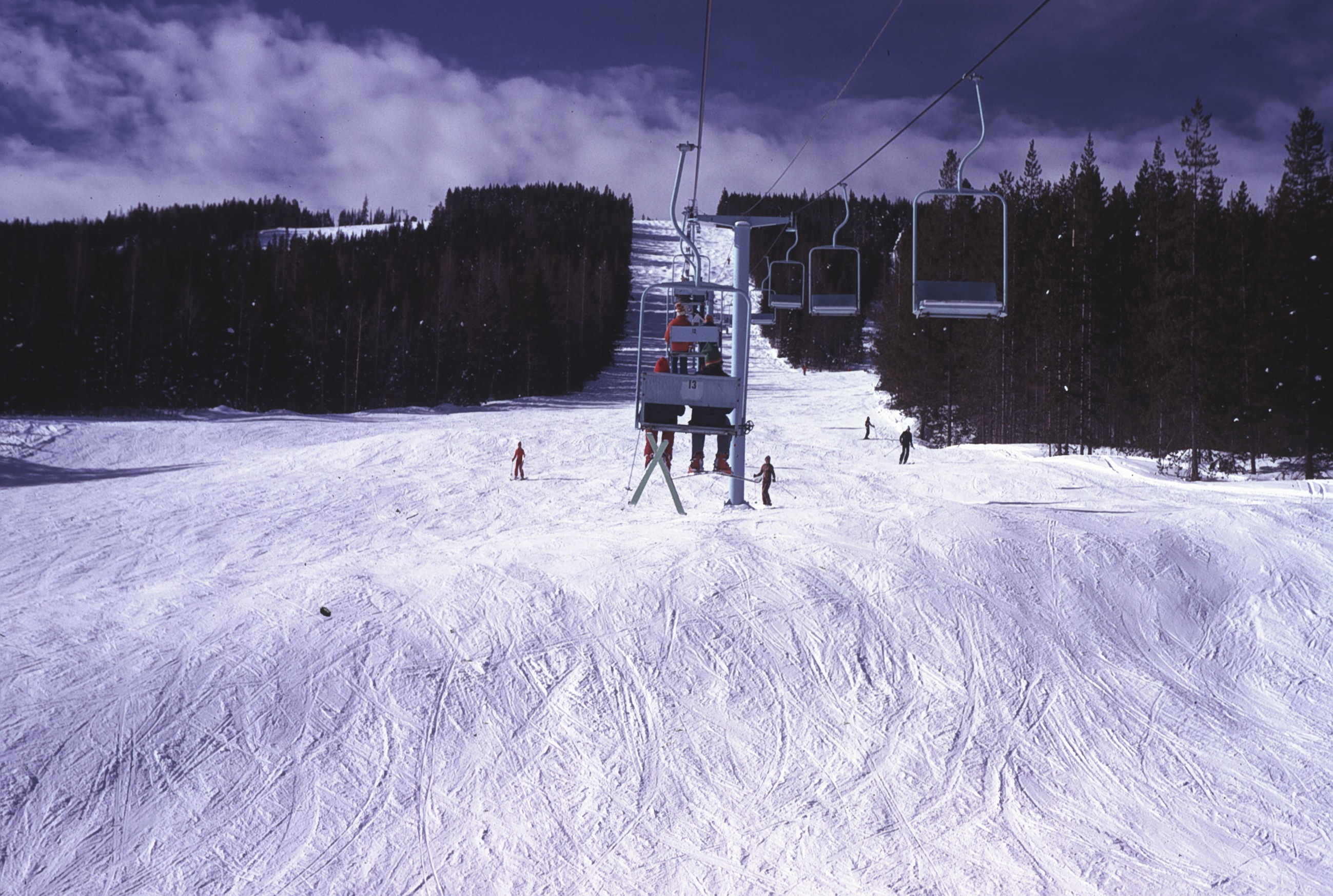
View up Chair lift
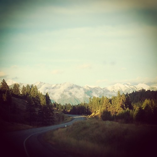
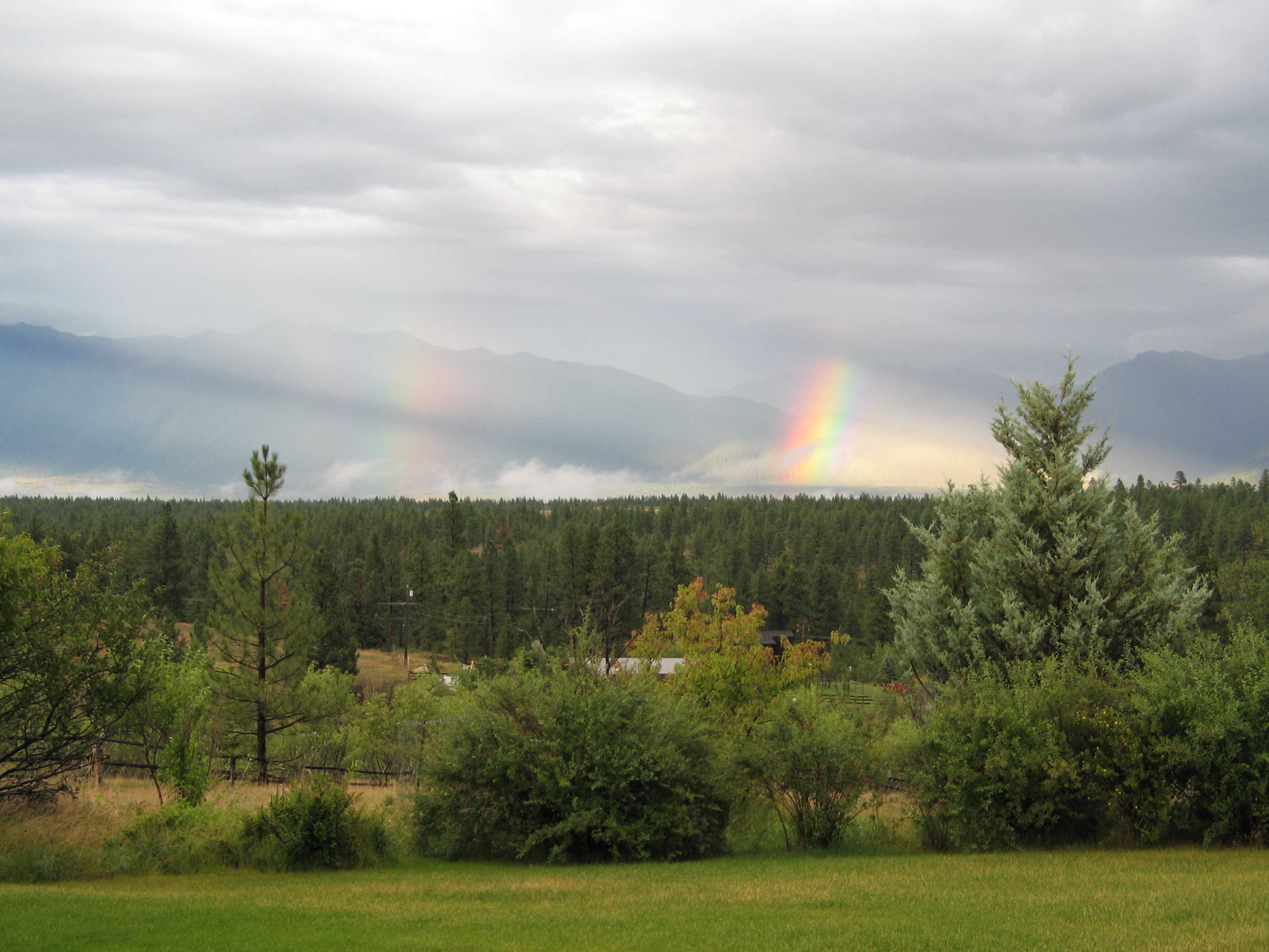
If this #view is any indication, it's going to be an amazing couple days. #beautifulbc #photographersdream #landscape #2fliesbc #Cranbrook

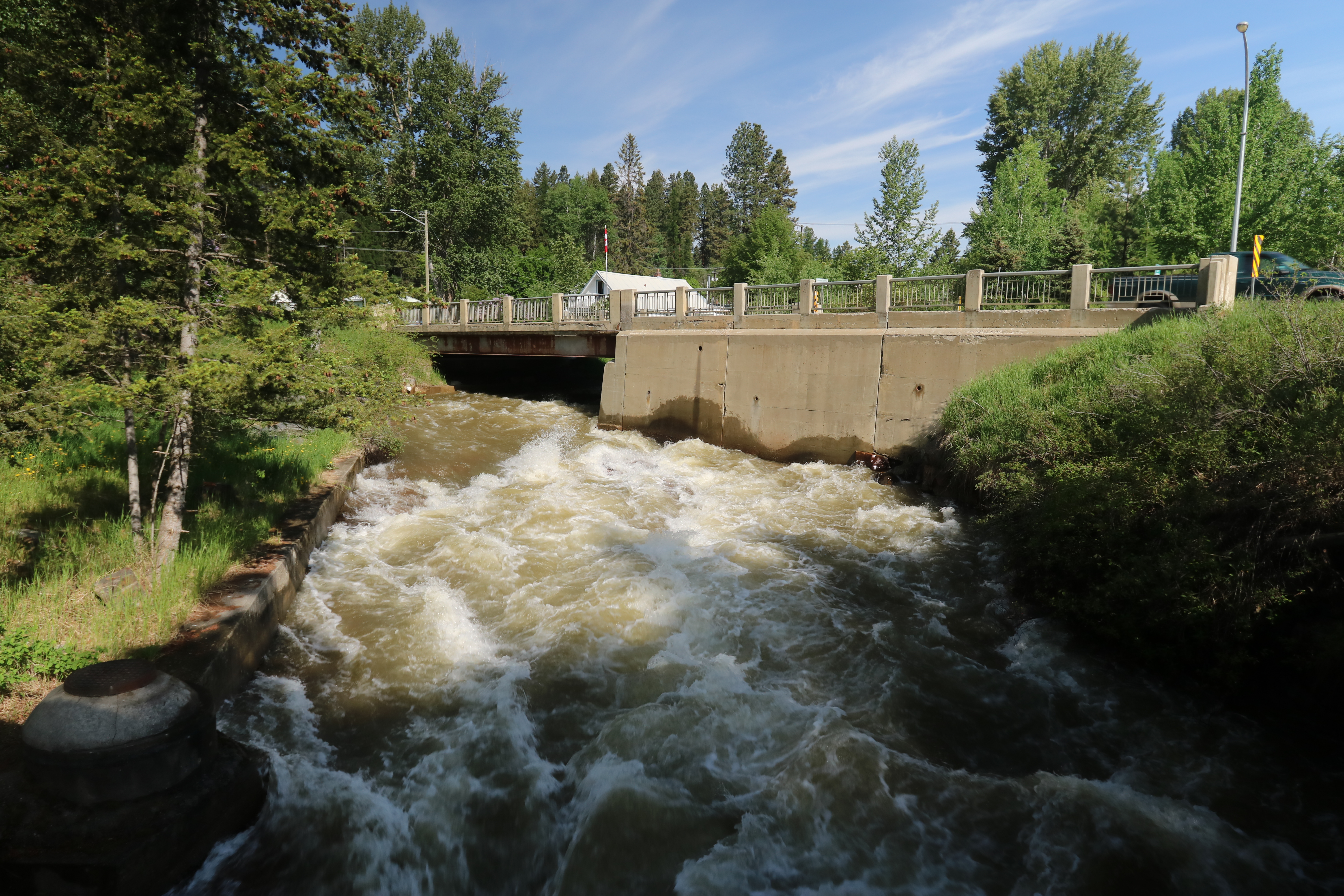
Bridge with a View
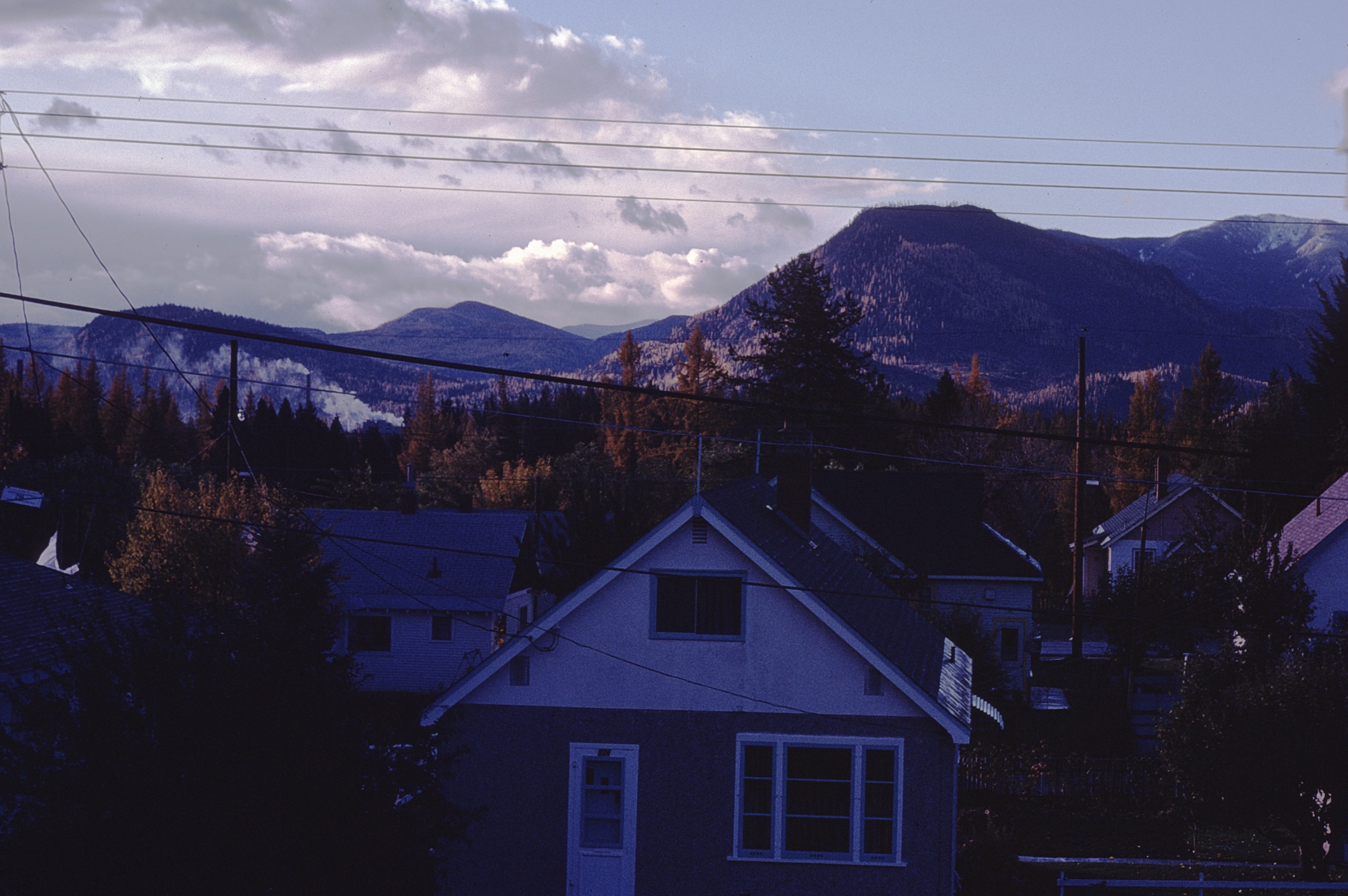
view from house
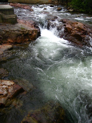
Marysville Falls British Colombia Canada
View from Living Room

view NW
view SE
Our humble accommodations in Kimberly BC

The view from my bed!
moonrise before landscaping
before landscaping
Kimberly View

Mariko and Yoko at Estella Basin

Marysville Falls 2

Marysville Falls
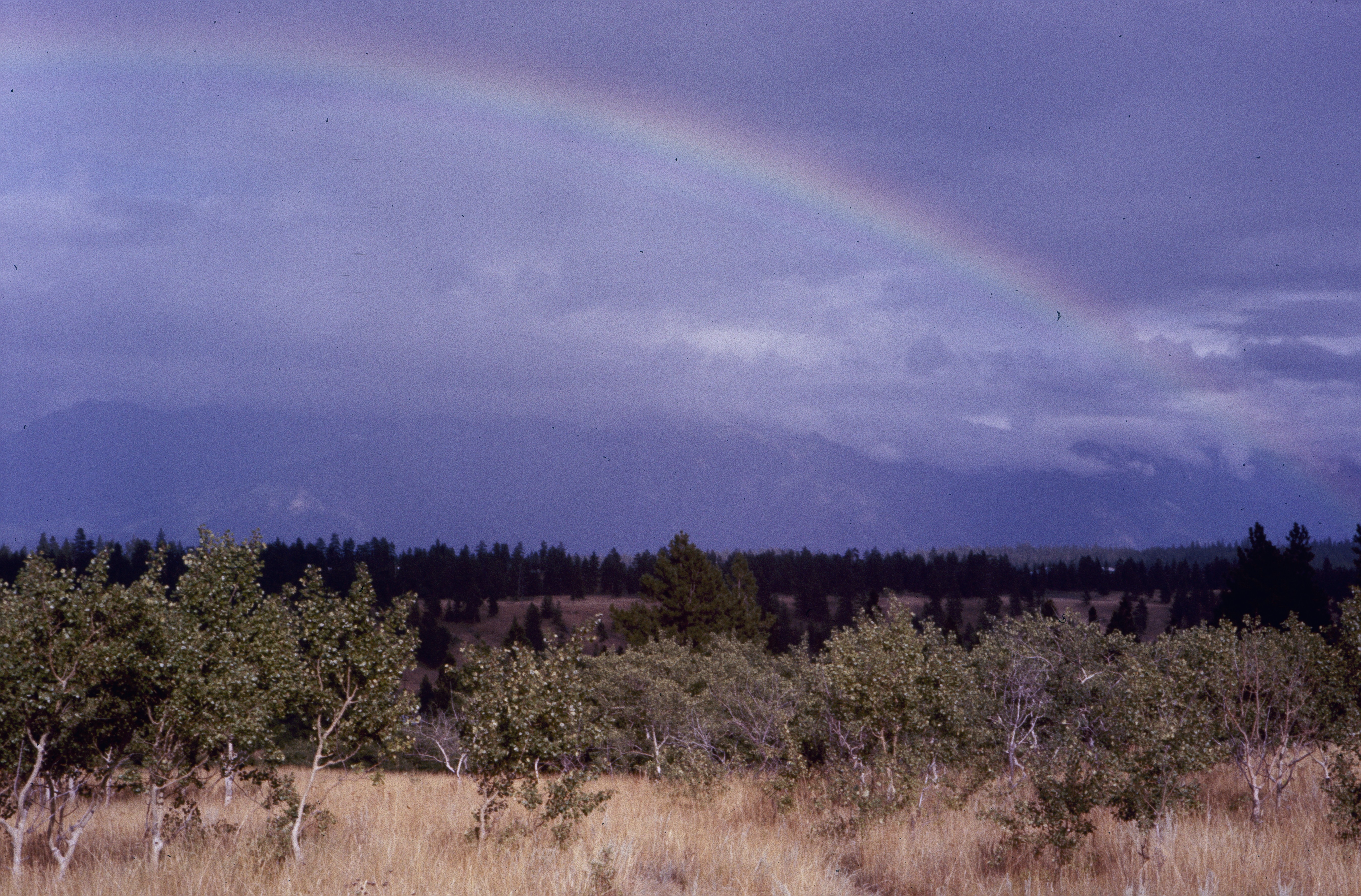
Kimberley BC - Trickle Creek colourful skies 3
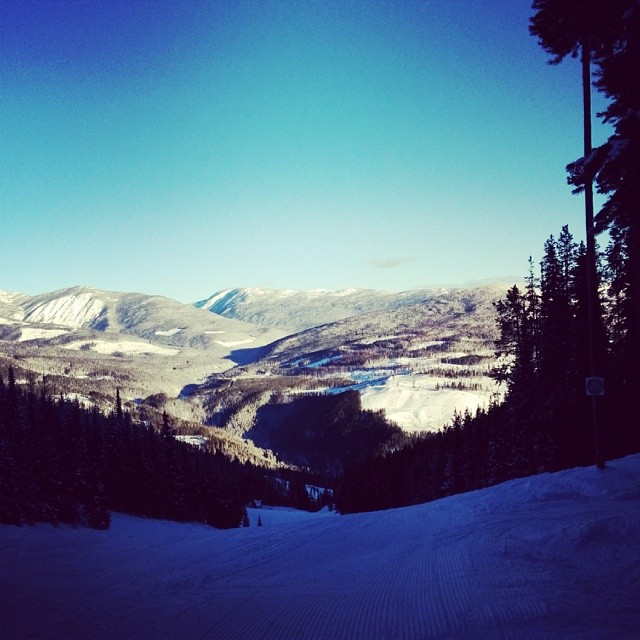
Perfect day for hitting the slopes @atcheung @gen90
Marysville Upper Falls
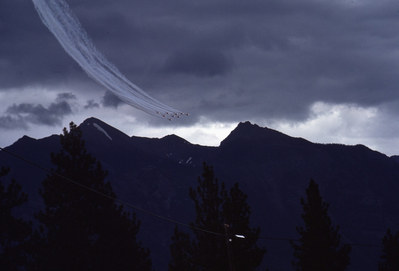
Wasa 1975 Airshow 1
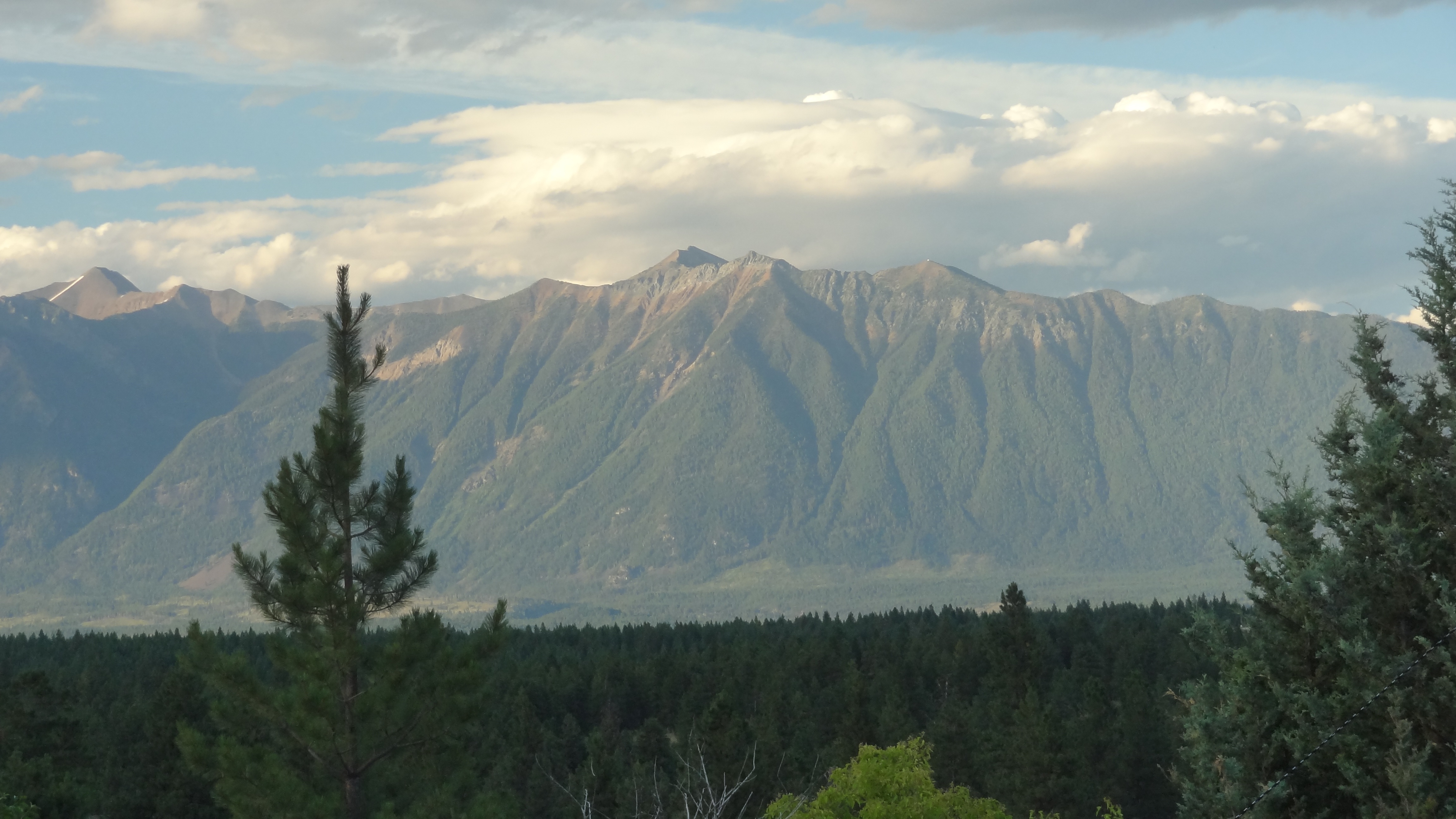
Lakit Mountain from Clearview Road
Wycliffe 8
Aug 09 052
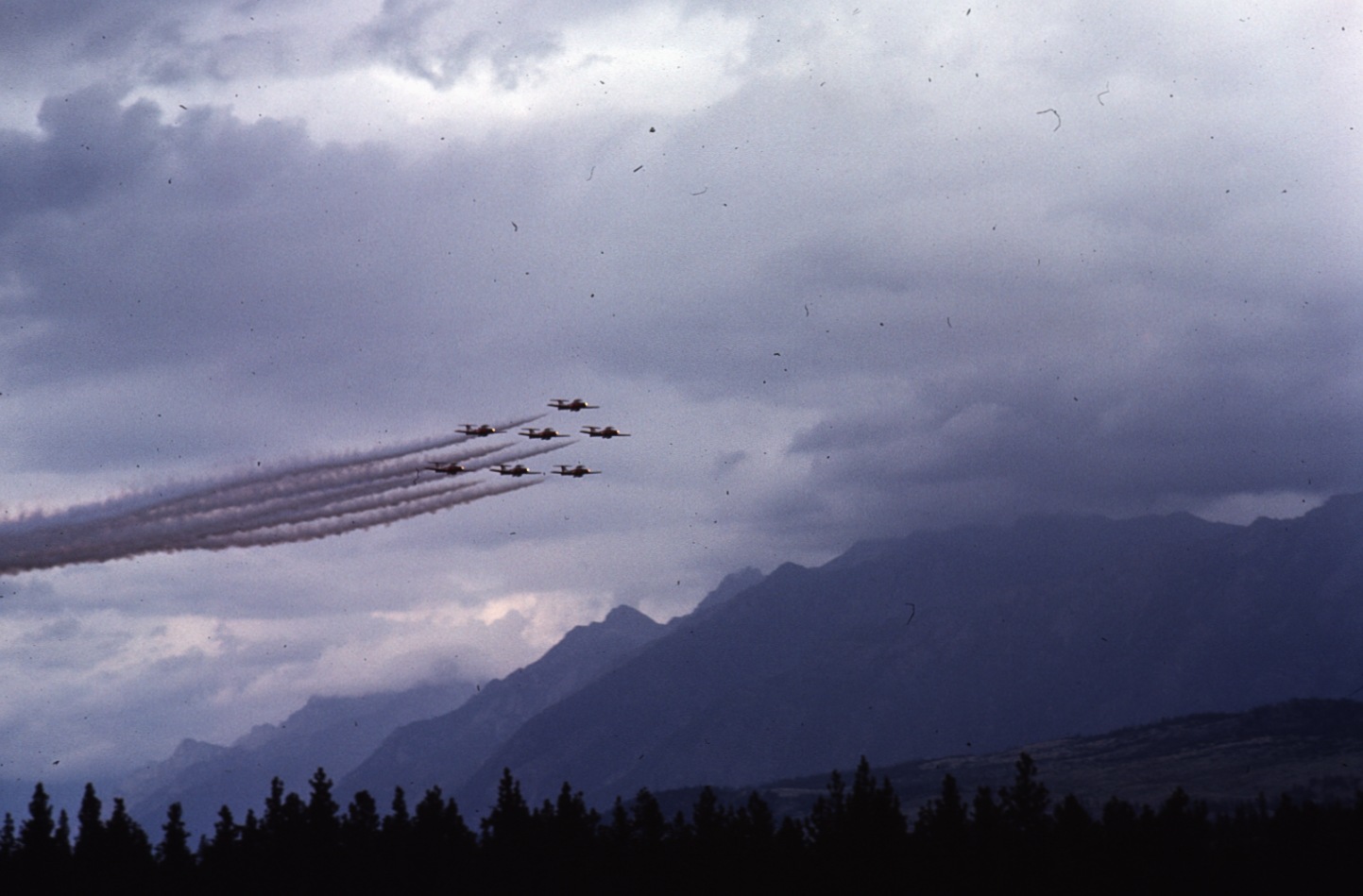
Wasa 1975 Airshow 10

2011 09 14_0702

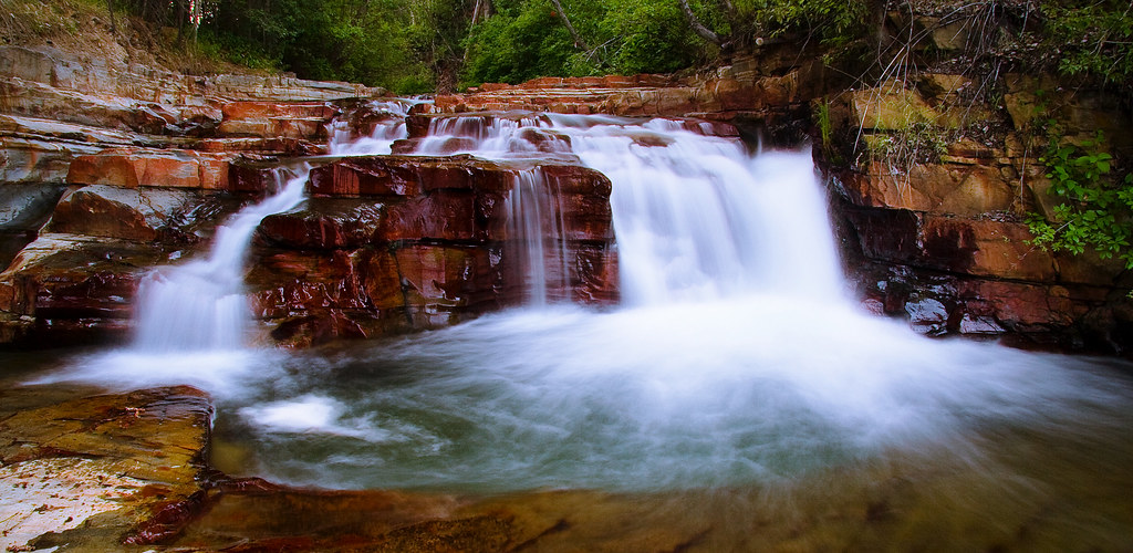
Marysville Falls
Canada First Week

Idiots!

Mt Fisher panorama Feb 25, 2014

Marysville Falls
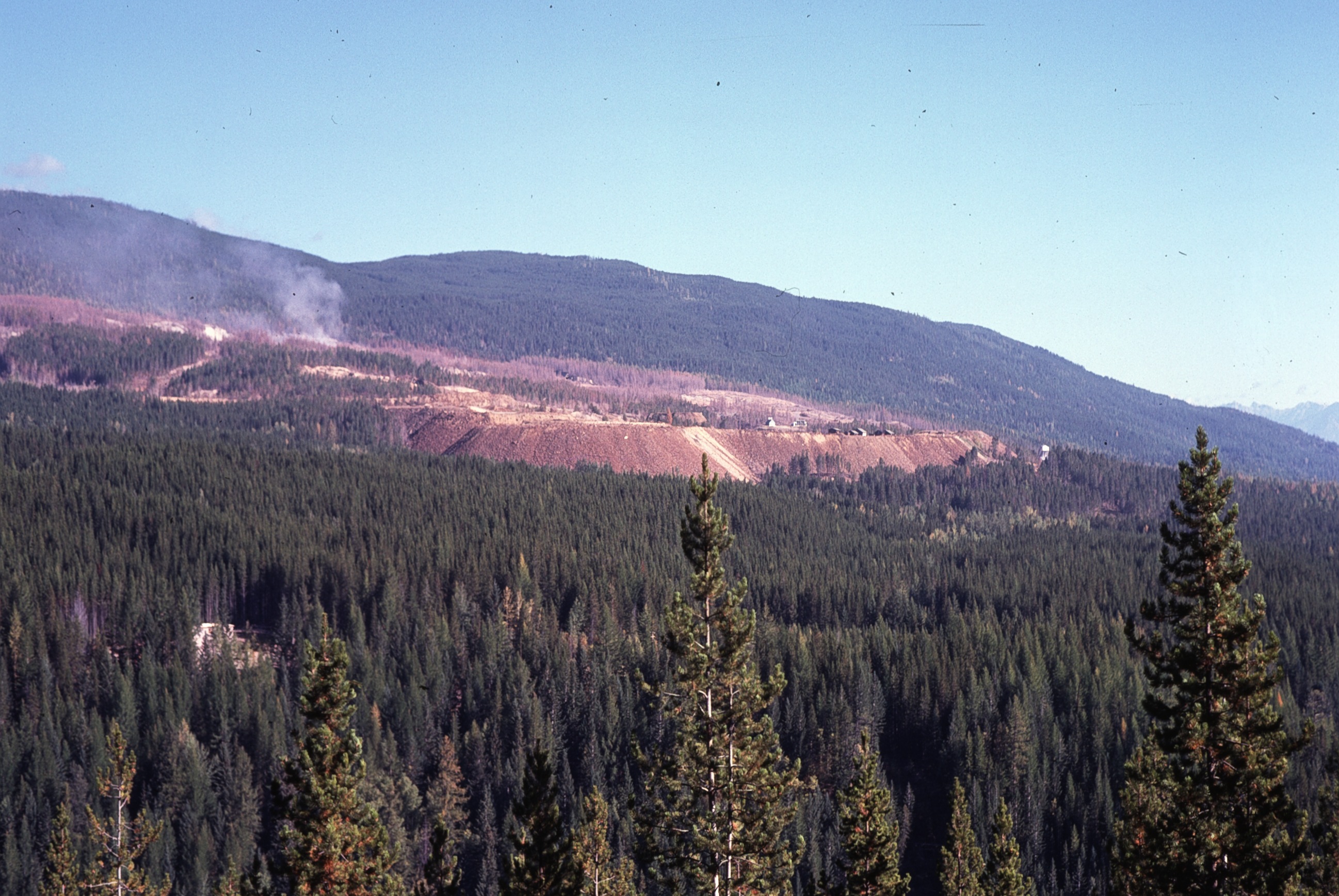
SO2 fumes at Sullivan 3

Wycliffe 3
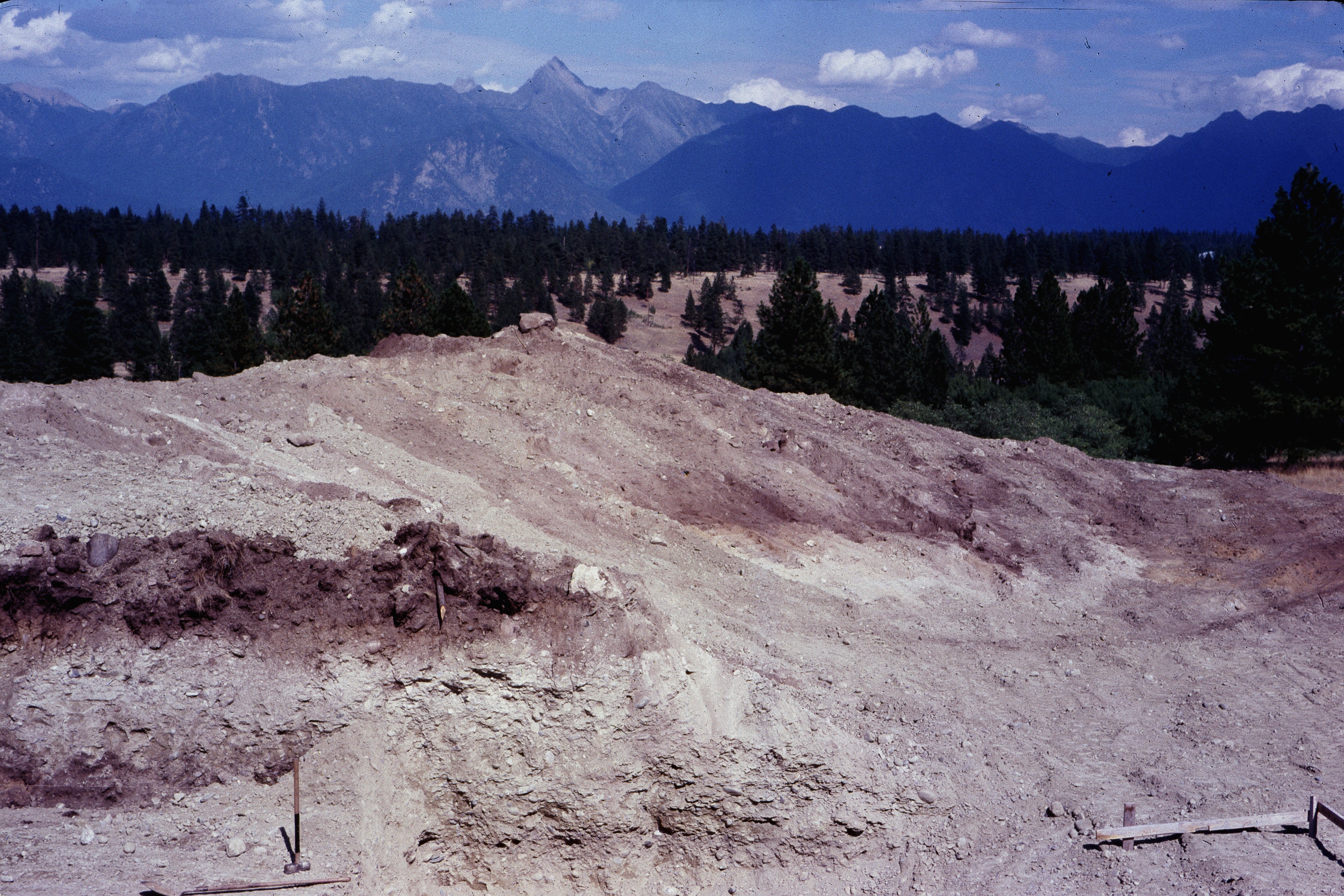
excavation 3
Topographic Map of Hahas Lake, East Kootenay E, BC V0B 2H0, Canada
Find elevation by address:

Places near Hahas Lake, East Kootenay E, BC V0B 2H0, Canada:
Ta Ta Creek
8164 Bc-95a
East Kootenay E
Canadian Rockies International Airport
1642 Manor Rd
Thunders Rd, Cranbrook, BC V1C, Canada
1437 Summer Rd
79 Morrison Rd
75 Morrison Rd
71 Morrison Rd
610 Knighton Rd
620 Nelson St
Wycliffe Park Rd, Cranbrook, BC V1C 7C3, Canada
771 303 St
771 303 St
100 Deer Park Ave
268 Trail St
Spokane Street
711 304 St
Townsite
Recent Searches:
- Elevation of Corso Fratelli Cairoli, 35, Macerata MC, Italy
- Elevation of Tallevast Rd, Sarasota, FL, USA
- Elevation of 4th St E, Sonoma, CA, USA
- Elevation of Black Hollow Rd, Pennsdale, PA, USA
- Elevation of Oakland Ave, Williamsport, PA, USA
- Elevation of Pedrógão Grande, Portugal
- Elevation of Klee Dr, Martinsburg, WV, USA
- Elevation of Via Roma, Pieranica CR, Italy
- Elevation of Tavkvetili Mountain, Georgia
- Elevation of Hartfords Bluff Cir, Mt Pleasant, SC, USA