Elevation of Dixon Landing Road, Dixon Landing Rd, Milpitas, CA, USA
Location: United States > California > Alameda County > Fremont > Baylands >
Longitude: -121.92598
Latitude: 37.4548774
Elevation: 6m / 20feet
Barometric Pressure: 101KPa
Elevation Map:
Satellite Map:
Related Photos:

Magical Sparkles
Vanishing Point

Long Walks on Short Piers

IMG_0173 Here I Come! Mountain View Shoreline Park, CA

IMG_8736 Snowy Egret
Cracked Earth
Panoramic View From A Perfect View Point...

IMG_2314 Forster's Tern

IMG_5922 Forster's Tern Hovering, Mountain View Shoreline Park, California

IMG_1868 Forster's Tern, Mountain View Shoreline Park, CA
Bronze Horse by Deborah Butterfield

IMG_8180 Snowy Egret

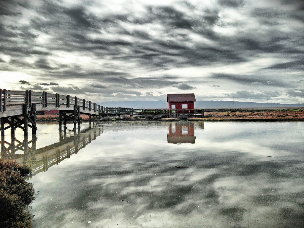
Alviso Blue Hour
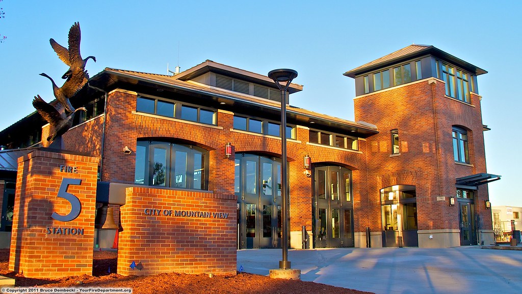
MTV Fire Station 5
picture perfect

GARDEN.JPG

IMG_9273.JPG

An American Wedding
Watching the watcher

What a cute kid :)

picture perfect

Stop. Look. Enjoy.

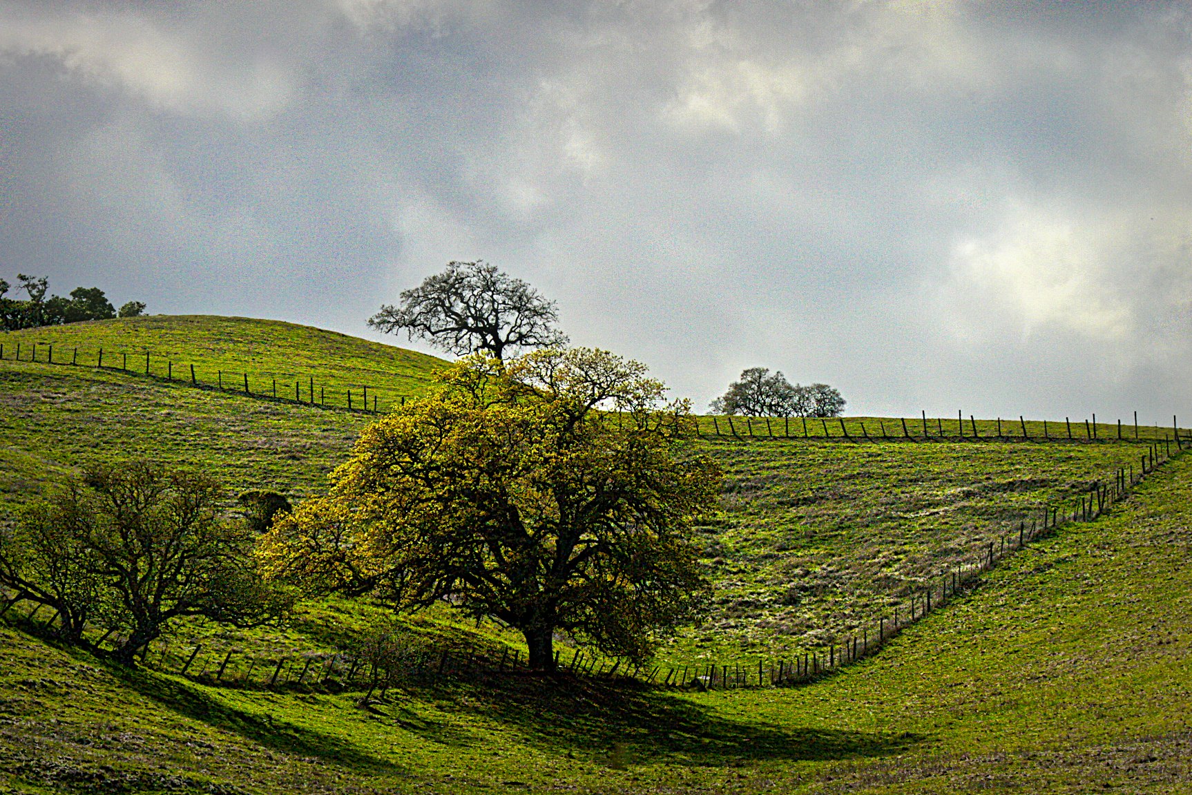
Green Pastors
Good weather! #Fremont #sanfrancisco #Cloud #California #usa #trip #travel

Calaveras Road
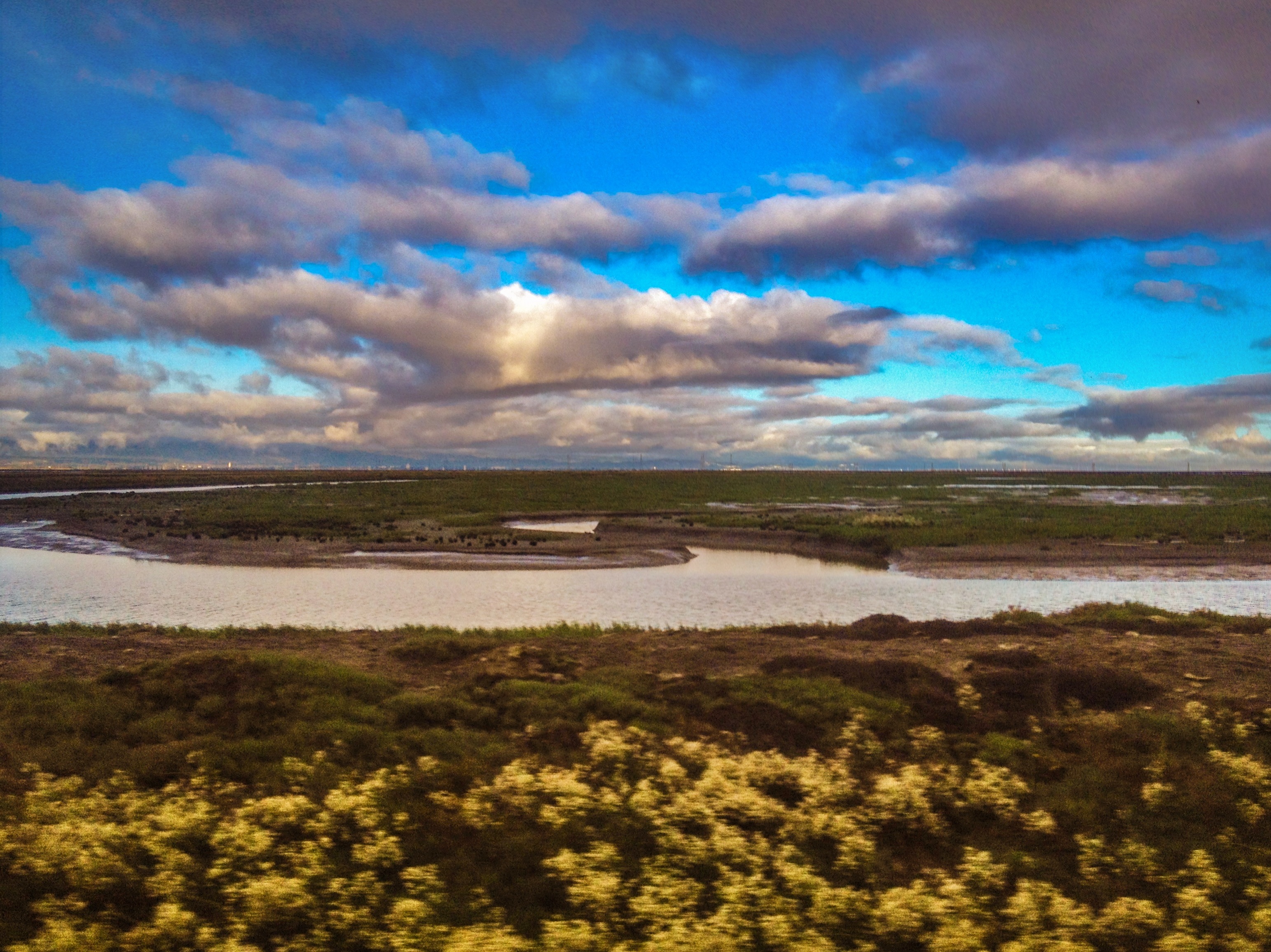
Don Edwards Preserve, Newark California
Sunol Spring Hillside No.01
I'm beginning to wonder why I kept passing up this EB park. What a gem! #EBRPD #SunolRegionalWilderness #Sunol

Door of opportunities :)

Clouds Over Mission Peak

Scattered Showers
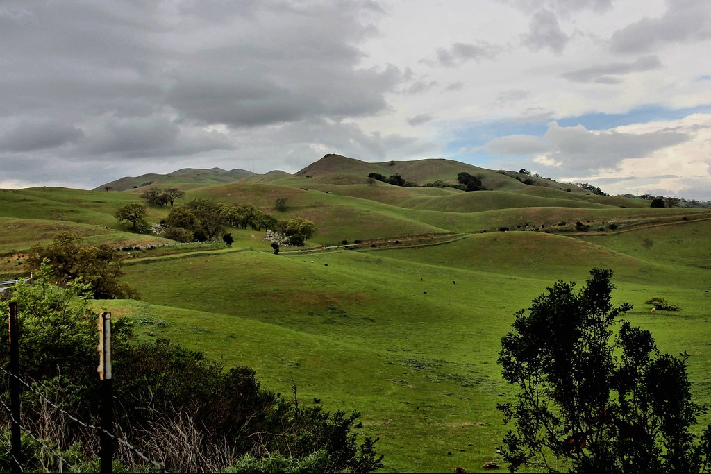
Calaveras Hills
SF Bay
Spotted Hercules on my mud run at Alum Rock. #ToTheTop

There is something about nature that makes me feel happy.

On the shores of the Island of Knowledge

Mind the Gaps

Easy way down

Spring. #california #eastbay #instanature #grass #weed #donedwards #rei1440project #neverstopexploring #hike #nofilter #goldenhour #sunset #skysnappers

IMG_0123-1
Topographic Map of Dixon Landing Road, Dixon Landing Rd, Milpitas, CA, USA
Find elevation by address:

Places near Dixon Landing Road, Dixon Landing Rd, Milpitas, CA, USA:
1725 Milmont Dr
120 Dixon Landing Rd
400 Kato Terrace
Milmont Dr, Fremont, CA, USA
47700 Kato Rd
Ottawa Way
1289 Belbrook Way
48233 Warm Springs Blvd
1795 Vegas Ave
48825 Big Horn Ct
240 Callan St
385 Tuolumne Dr
508 Gamay Ct
48441 Ursa Dr
Bayberry Common
Venus Court
Warm Springs
Bannon Court
47530 Fortner St
3777 Spinnaker Ct
Recent Searches:
- Elevation of Corso Fratelli Cairoli, 35, Macerata MC, Italy
- Elevation of Tallevast Rd, Sarasota, FL, USA
- Elevation of 4th St E, Sonoma, CA, USA
- Elevation of Black Hollow Rd, Pennsdale, PA, USA
- Elevation of Oakland Ave, Williamsport, PA, USA
- Elevation of Pedrógão Grande, Portugal
- Elevation of Klee Dr, Martinsburg, WV, USA
- Elevation of Via Roma, Pieranica CR, Italy
- Elevation of Tavkvetili Mountain, Georgia
- Elevation of Hartfords Bluff Cir, Mt Pleasant, SC, USA