Elevation of Warm Springs Blvd, Fremont, CA, USA
Longitude: -121.92011
Latitude: 37.4718094
Elevation: 15m / 49feet
Barometric Pressure: 101KPa
Elevation Map:
Satellite Map:
Related Photos:

Pair of Great Egrets with Breeding Color around the eye

California Ground Squirrel

Barn Swallow (immature)

Yellow Tiger Swallowtail Butterrfly on Statice

Forster's Tern (1st year)

Eared Grebe

Common Goldeneye (m) - Courtship Display

Eared Grebe

Snowy Egret uphill Climb

Common Goldeneye (m) - Courtship Display

Eastern Phoebe
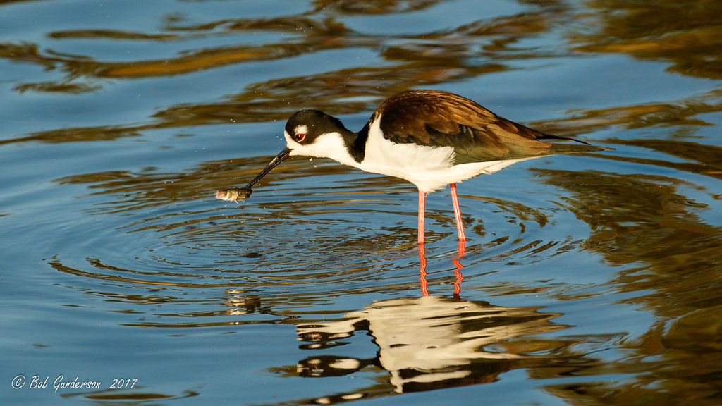
Black-necked Stilt

Runway two eight left cleared to land

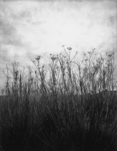
Budding Wild Flower

Rental canoes and kayaks

Bird head turn-35916
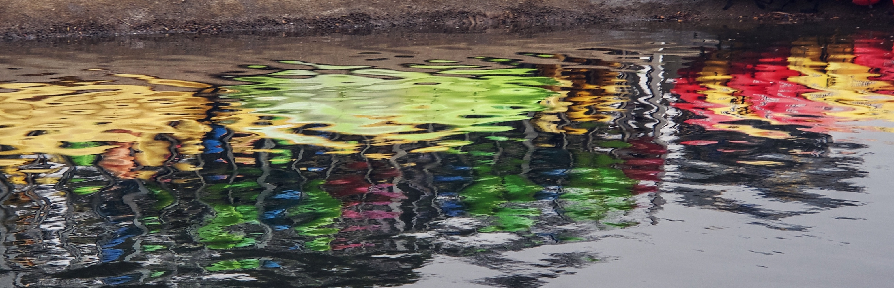
Colorful twist in life

Common Goldeneye (f) with clam

Sunset Wood Horse

Red-shafted Northern Flicker (m)
after the incursion

Flag Ridge in Morning Fog No.4 B&W

Steam and Rust No1

Manichaean Sunset

Fall Tress in Sunol Park

সান হোসে, ক্যালিফোর্নিয়া। (San Jose, California)

Angry cow

Upper Penitencia Creek in Alum Rock Park
Wild Fennel

Downtown San Jose

Mountain High

Sunol Rest Stop

An Illusory Expectation of Privacy

Space Hockey
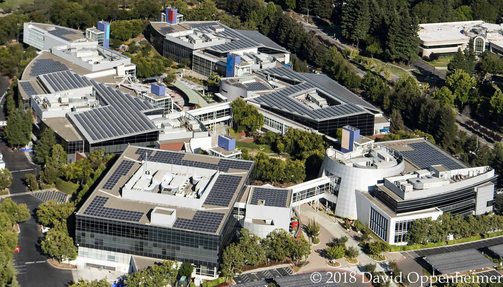
Googleplex Google Headquarters Aerial

The dirt path on the hill is called a desire line. This is the straight path preferred when people walk, vs the goofy curving pavement installed by the city of Santa Clara as a switchback to prevent damage to the levee.

20181014_0316.jpg

Vibrance of Spring

wet sunset

East Bay Hills above Fremont

Dumbarton Cutoff Line - Newark Slough Swing Bridge

Of Fire and Ice
Topographic Map of Warm Springs Blvd, Fremont, CA, USA
Find elevation by address:

Places near Warm Springs Blvd, Fremont, CA, USA:
Bayberry Common
Milmont Dr, Fremont, CA, USA
Ottawa Way
400 Kato Terrace
48441 Ursa Dr
Warm Springs
47700 Kato Rd
Venus Court
Bannon Court
385 Tuolumne Dr
48825 Big Horn Ct
47530 Fortner St
508 Gamay Ct
240 Callan St
120 Dixon Landing Rd
Dixon Landing Road
1725 Milmont Dr
1795 Vegas Ave
46700 Lakeview Blvd
3777 Spinnaker Ct
Recent Searches:
- Elevation of Corso Fratelli Cairoli, 35, Macerata MC, Italy
- Elevation of Tallevast Rd, Sarasota, FL, USA
- Elevation of 4th St E, Sonoma, CA, USA
- Elevation of Black Hollow Rd, Pennsdale, PA, USA
- Elevation of Oakland Ave, Williamsport, PA, USA
- Elevation of Pedrógão Grande, Portugal
- Elevation of Klee Dr, Martinsburg, WV, USA
- Elevation of Via Roma, Pieranica CR, Italy
- Elevation of Tavkvetili Mountain, Georgia
- Elevation of Hartfords Bluff Cir, Mt Pleasant, SC, USA