Elevation of Delaney Butte, Colorado, USA
Location: United States > Colorado > Walden >
Longitude: -106.48697
Latitude: 40.701643
Elevation: 2748m / 9016feet
Barometric Pressure: 72KPa
Elevation Map:
Satellite Map:
Related Photos:
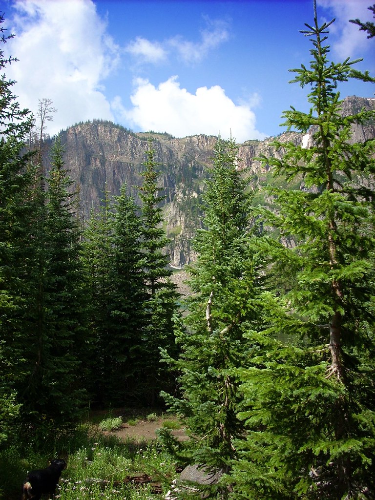
Lake Katherine
Topographic Map of Delaney Butte, Colorado, USA
Find elevation by address:

Places near Delaney Butte, Colorado, USA:
Pitchpine Mountain
Jackson County Road 7a
Coalmont
Pole Mountain
Lost Ranger Peak
Walden, CO, USA
Mount Ethel
Walden
Mexican Ridge North
The Dome
Jackson County
Routt National Forest
Owl Ridge West
Spicer Peak
Ironclad Mountain
Rabbit Ears Peak
Dennis Hump
Dumont Lake
North Ryder Peak
Little Haystack Mountain
Recent Searches:
- Elevation of Corso Fratelli Cairoli, 35, Macerata MC, Italy
- Elevation of Tallevast Rd, Sarasota, FL, USA
- Elevation of 4th St E, Sonoma, CA, USA
- Elevation of Black Hollow Rd, Pennsdale, PA, USA
- Elevation of Oakland Ave, Williamsport, PA, USA
- Elevation of Pedrógão Grande, Portugal
- Elevation of Klee Dr, Martinsburg, WV, USA
- Elevation of Via Roma, Pieranica CR, Italy
- Elevation of Tavkvetili Mountain, Georgia
- Elevation of Hartfords Bluff Cir, Mt Pleasant, SC, USA