Elevation of Mount Ethel, Mt Ethel, Colorado, USA
Location: United States > Colorado > Walden >
Longitude: -106.68032
Latitude: 40.6477535
Elevation: 3628m / 11903feet
Barometric Pressure: 65KPa
Elevation Map:
Satellite Map:
Related Photos:
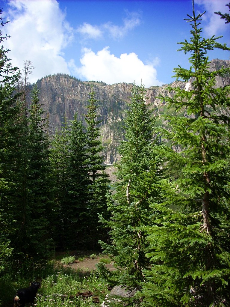
Lake Katherine
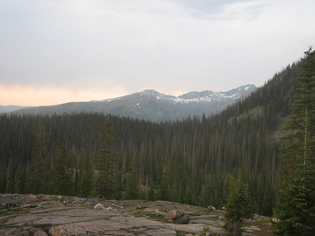
2008-07-11_15_view_into_the_zirkel_front_range
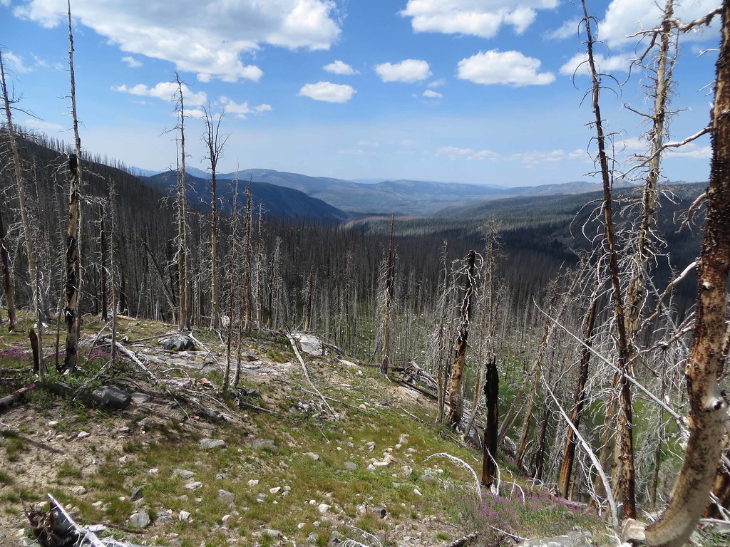
The view
Topographic Map of Mount Ethel, Mt Ethel, Colorado, USA
Find elevation by address:

Places near Mount Ethel, Mt Ethel, Colorado, USA:
Lost Ranger Peak
The Dome
Routt National Forest
Pitchpine Mountain
Steamboat Springs, CO, USA
Rocky Peak
67810 Routt County Rd
31301 Co Rd 64
Copper Ridge
Mexican Ridge North
Delaney Butte
Highlands Drive
2820 Trails Edge
2825 Trails Edge
2815 Trails Edge
2895 Trails Edge
2805 Trails Edge
1070 Uncochief
Storm Meadows Drive
2215 Storm Meadows Dr
Recent Searches:
- Elevation of Corso Fratelli Cairoli, 35, Macerata MC, Italy
- Elevation of Tallevast Rd, Sarasota, FL, USA
- Elevation of 4th St E, Sonoma, CA, USA
- Elevation of Black Hollow Rd, Pennsdale, PA, USA
- Elevation of Oakland Ave, Williamsport, PA, USA
- Elevation of Pedrógão Grande, Portugal
- Elevation of Klee Dr, Martinsburg, WV, USA
- Elevation of Via Roma, Pieranica CR, Italy
- Elevation of Tavkvetili Mountain, Georgia
- Elevation of Hartfords Bluff Cir, Mt Pleasant, SC, USA