Elevation of Rabbit Ears Peak, Colorado, USA
Location: United States > Colorado > Coalmont >
Longitude: -106.61031
Latitude: 40.4277584
Elevation: 3166m / 10387feet
Barometric Pressure: 69KPa
Elevation Map:
Satellite Map:
Related Photos:
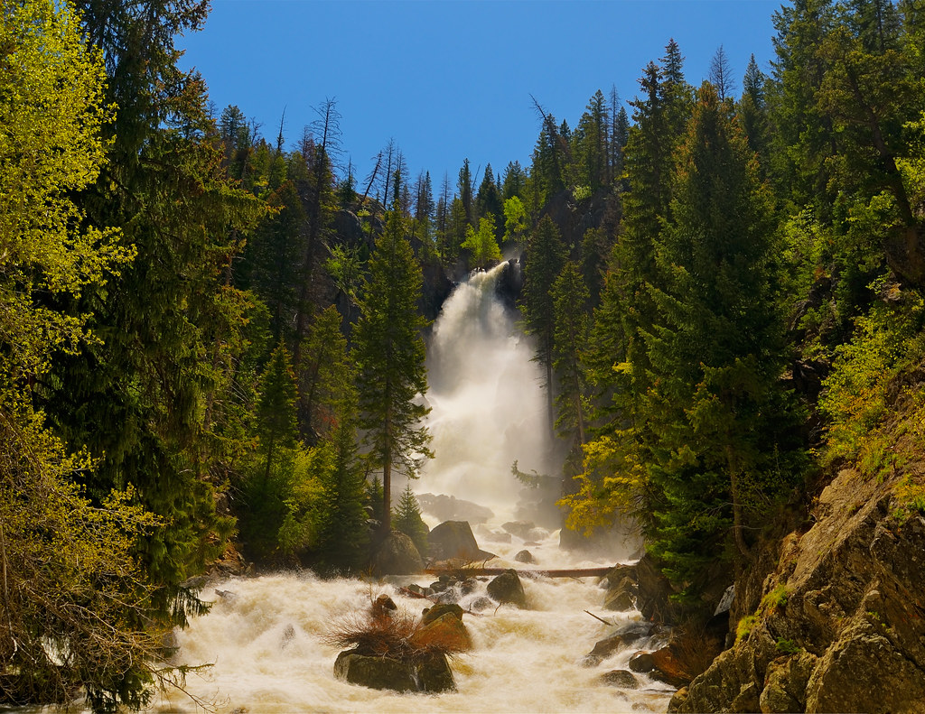
Fish Creek Falls at the Spring Rise

Lights Out

West Side

Middle Rib

Sunset view of Sleeping Giant from Ski Trail Lane. Steamboat Springs, Colorado.
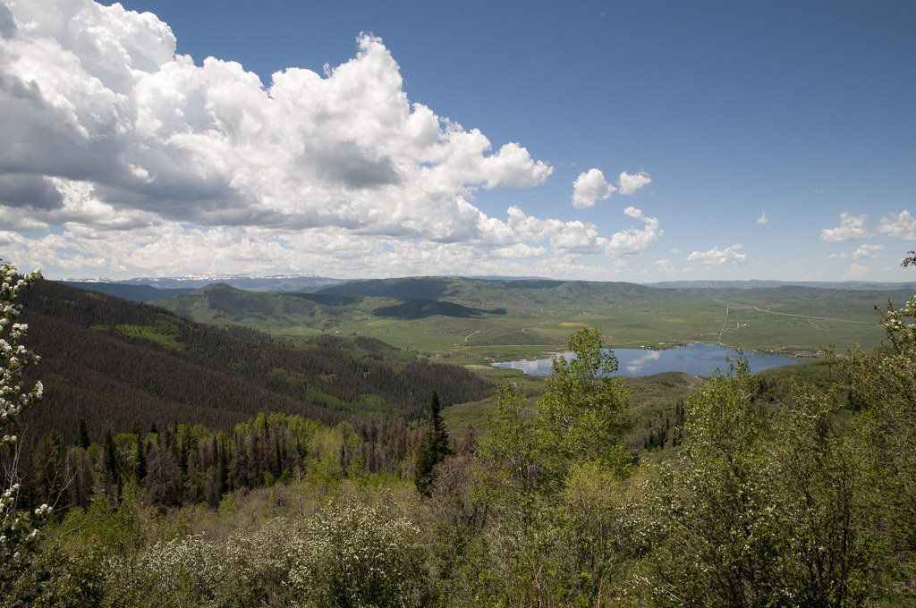
View of Lake Catamount from Highway 40

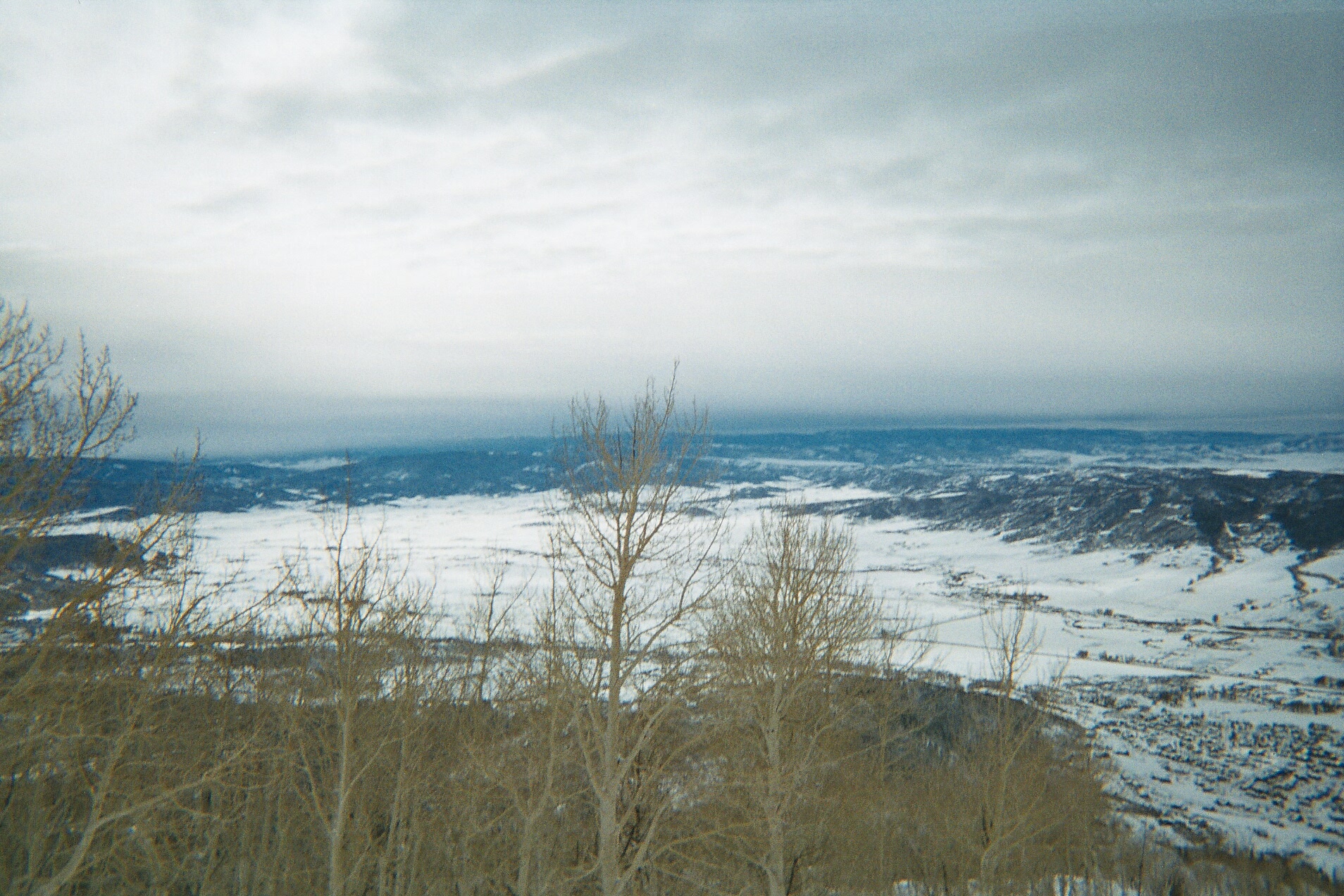
View from West Summit Loop Trail

View of Lake Catamount from Highway 40 1

Steamboat Springs
View of Yampa Valley from Mountain
View of Yampa Valley from Mountain
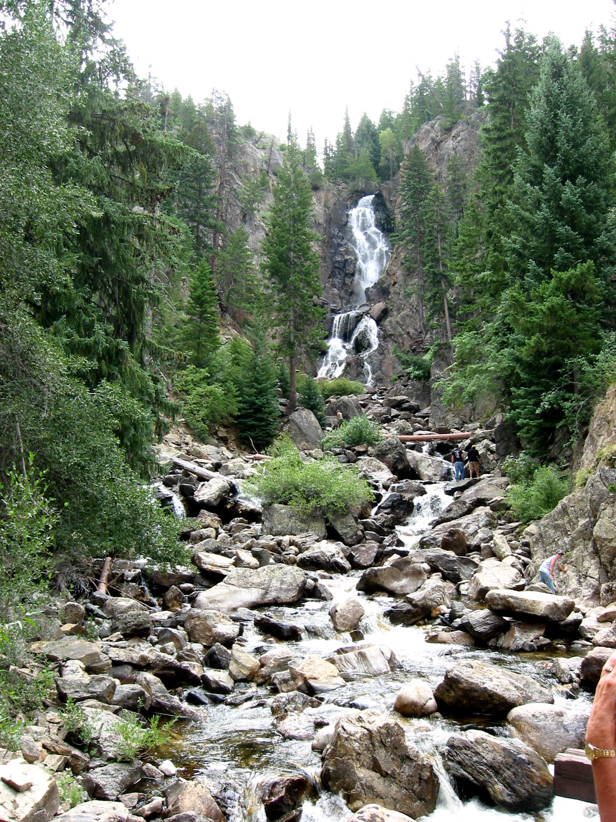
Fish Creek Falls
Topographic Map of Rabbit Ears Peak, Colorado, USA
Find elevation by address:

Places near Rabbit Ears Peak, Colorado, USA:
Dumont Lake
Rabbit Ears Pass
375 Co Rd 286
1805 County Rd 186
286 Upper Bear Mountain Rd
Mexican Ridge North
Walton Peak
Routt National Forest
North Ryder Peak
Pole Mountain
Whiteley Peak
Ironclad Mountain
Rushing Water Lane
2895 Trails Edge
2825 Trails Edge
2820 Trails Edge
2815 Trails Edge
2805 Trails Edge
Storm Meadows Drive
2590 Longthong Rd
Recent Searches:
- Elevation of Corso Fratelli Cairoli, 35, Macerata MC, Italy
- Elevation of Tallevast Rd, Sarasota, FL, USA
- Elevation of 4th St E, Sonoma, CA, USA
- Elevation of Black Hollow Rd, Pennsdale, PA, USA
- Elevation of Oakland Ave, Williamsport, PA, USA
- Elevation of Pedrógão Grande, Portugal
- Elevation of Klee Dr, Martinsburg, WV, USA
- Elevation of Via Roma, Pieranica CR, Italy
- Elevation of Tavkvetili Mountain, Georgia
- Elevation of Hartfords Bluff Cir, Mt Pleasant, SC, USA