Elevation of Dedza, Malawi
Location: Malawi > Central Region > Dedza >
Longitude: 34.3254842
Latitude: -14.381661
Elevation: 1581m / 5187feet
Barometric Pressure: 84KPa
Elevation Map:
Satellite Map:
Related Photos:

Between Lilongwe and Zomba

Camera Roll-84
Camera Roll-89

Camera Roll-85

Every One Counts

Potato Harvesting at a Demonstration Plot in Dedza District, Malawi

Potato Harvesting at a Demonstration Plot in Dedza District, Malawi
Speckled Mousebird

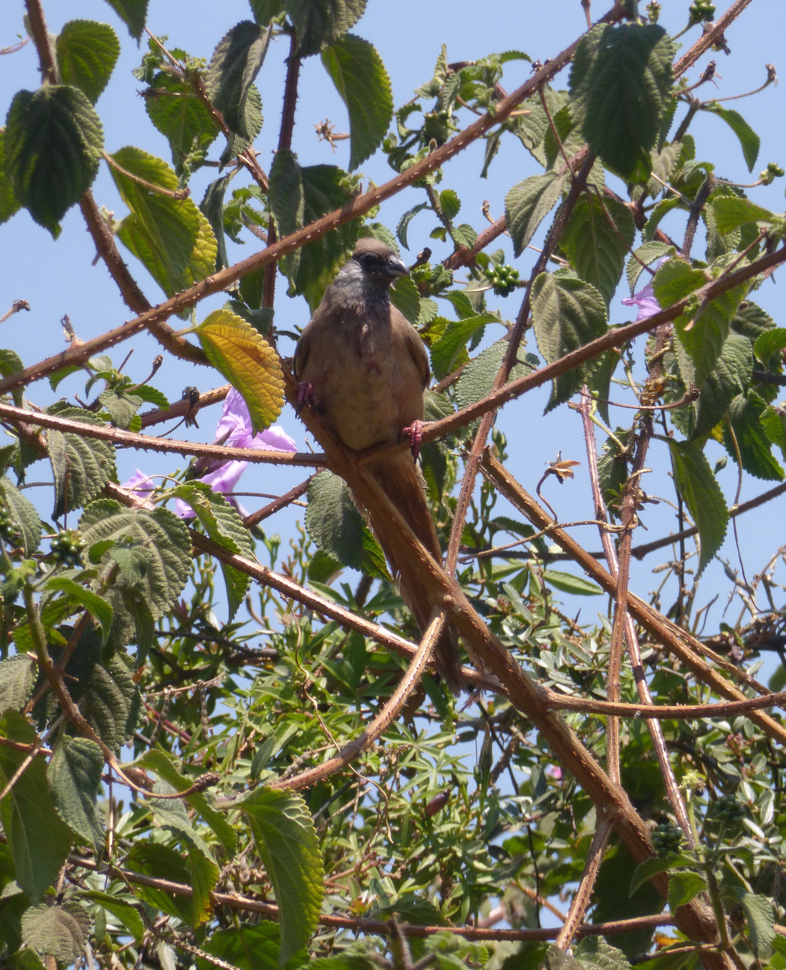
Northern Grey-headed Sparrow

Amethyst Sunbird

Day 207 Malawi Hailstorm
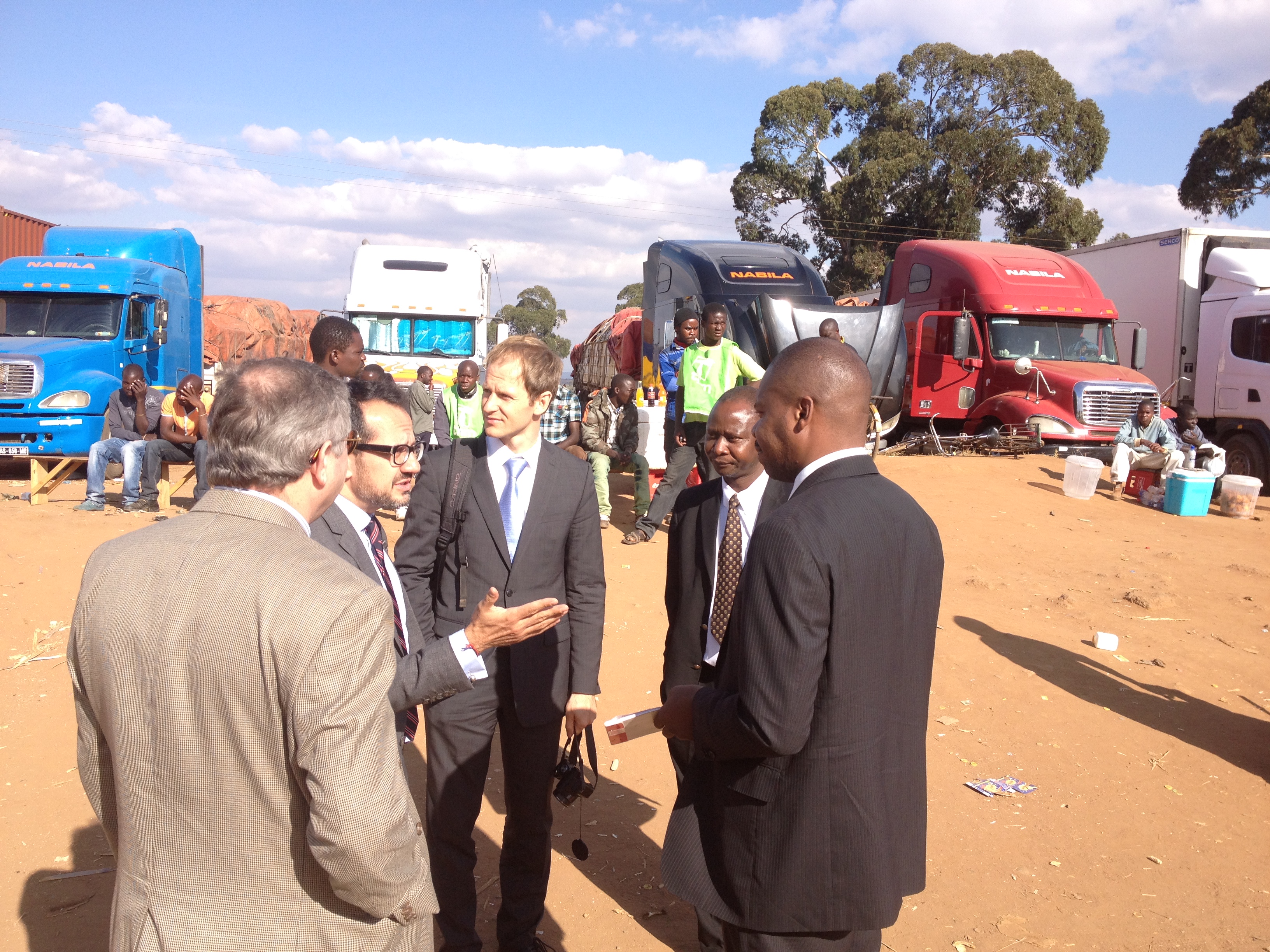
VISIT OF THE 1540 COMMITTEE TO THE REPUBLIC OF MALAWI

VISIT OF THE 1540 COMMITTEE TO THE REPUBLIC OF MALAWI

VISIT OF THE 1540 COMMITTEE TO THE REPUBLIC OF MALAWI
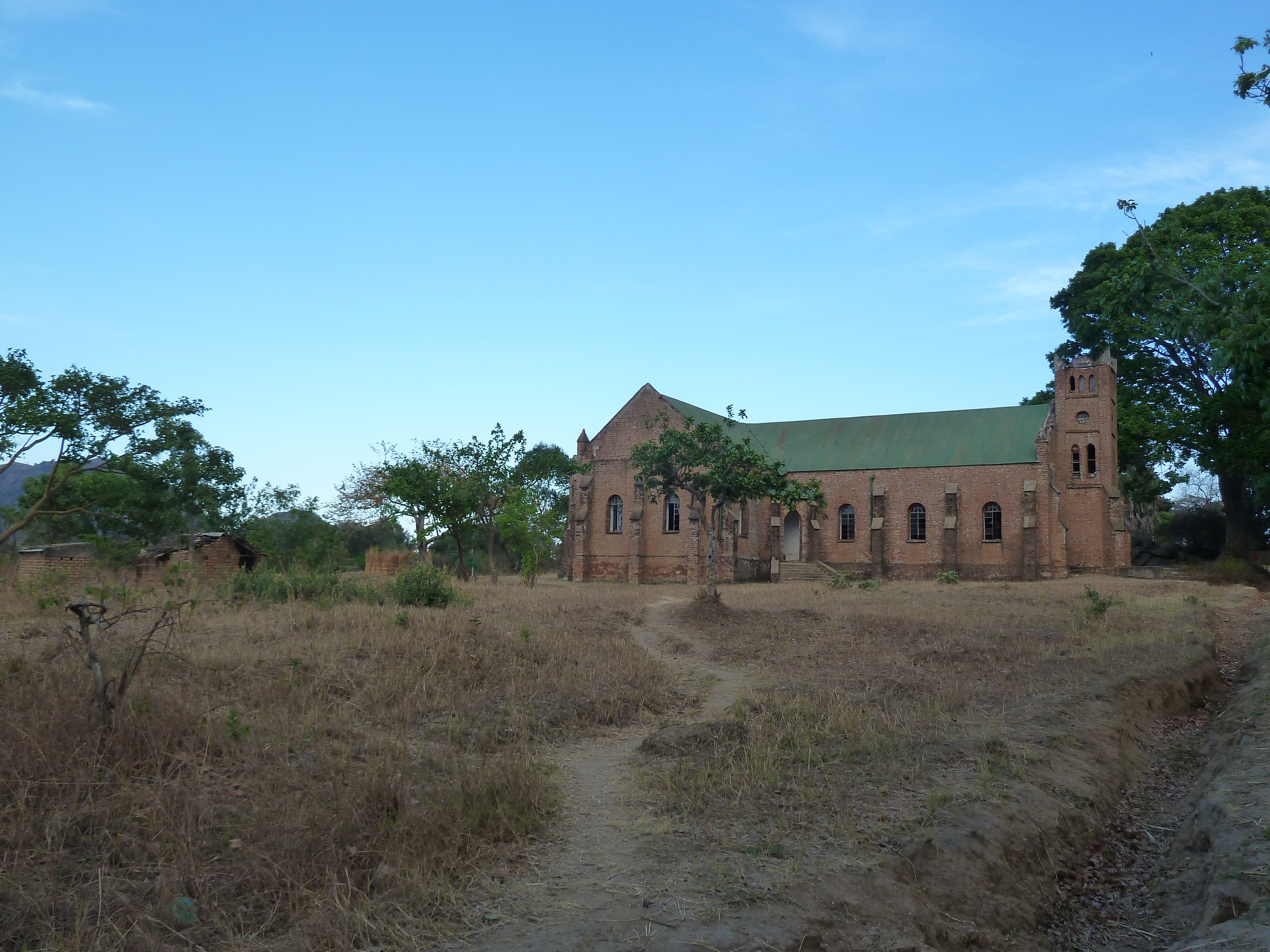
168 Mphunzi Mountain village Dutch church P1020673

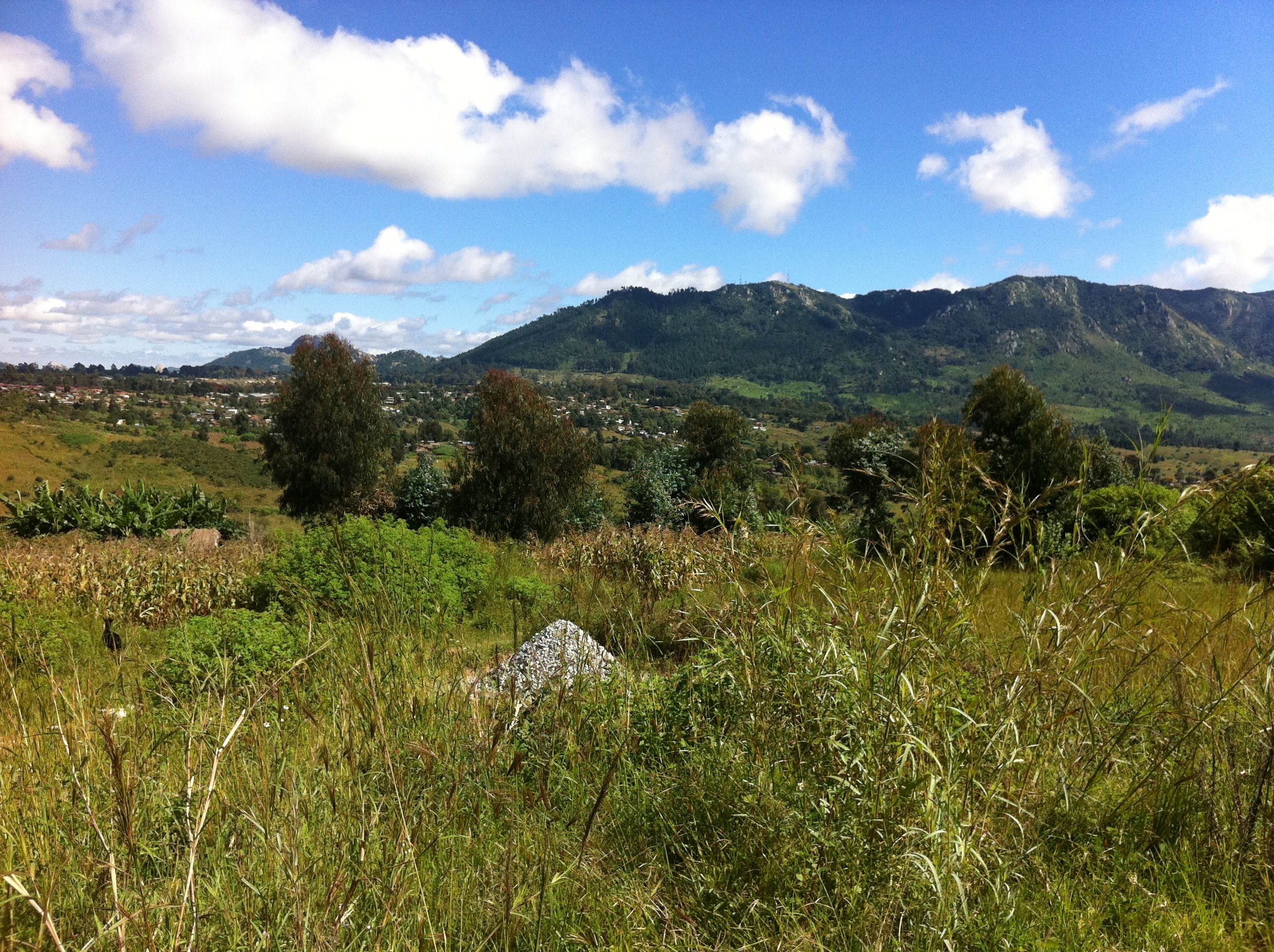
161 Mphunzi Mountain scenes P1020664

Along the road in Malawi

Along the road in Malawi
Topographic Map of Dedza, Malawi
Find elevation by address:

Places near Dedza, Malawi:
Chongoni Rock Art Area
Dedza
Golomoti
Lake Malawi
Lake Malawi National Park Office
Mangochi
Nkaya Station
Southern Region
Recent Searches:
- Elevation of Corso Fratelli Cairoli, 35, Macerata MC, Italy
- Elevation of Tallevast Rd, Sarasota, FL, USA
- Elevation of 4th St E, Sonoma, CA, USA
- Elevation of Black Hollow Rd, Pennsdale, PA, USA
- Elevation of Oakland Ave, Williamsport, PA, USA
- Elevation of Pedrógão Grande, Portugal
- Elevation of Klee Dr, Martinsburg, WV, USA
- Elevation of Via Roma, Pieranica CR, Italy
- Elevation of Tavkvetili Mountain, Georgia
- Elevation of Hartfords Bluff Cir, Mt Pleasant, SC, USA