Elevation map of Dedza, Malawi
Location: Malawi > Central Region >
Longitude: 34.2421597
Latitude: -14.189458
Elevation: 1469m / 4820feet
Barometric Pressure: 85KPa
Elevation Map:
Satellite Map:
Related Photos:

Pasture
IMG_7082


DSC05905

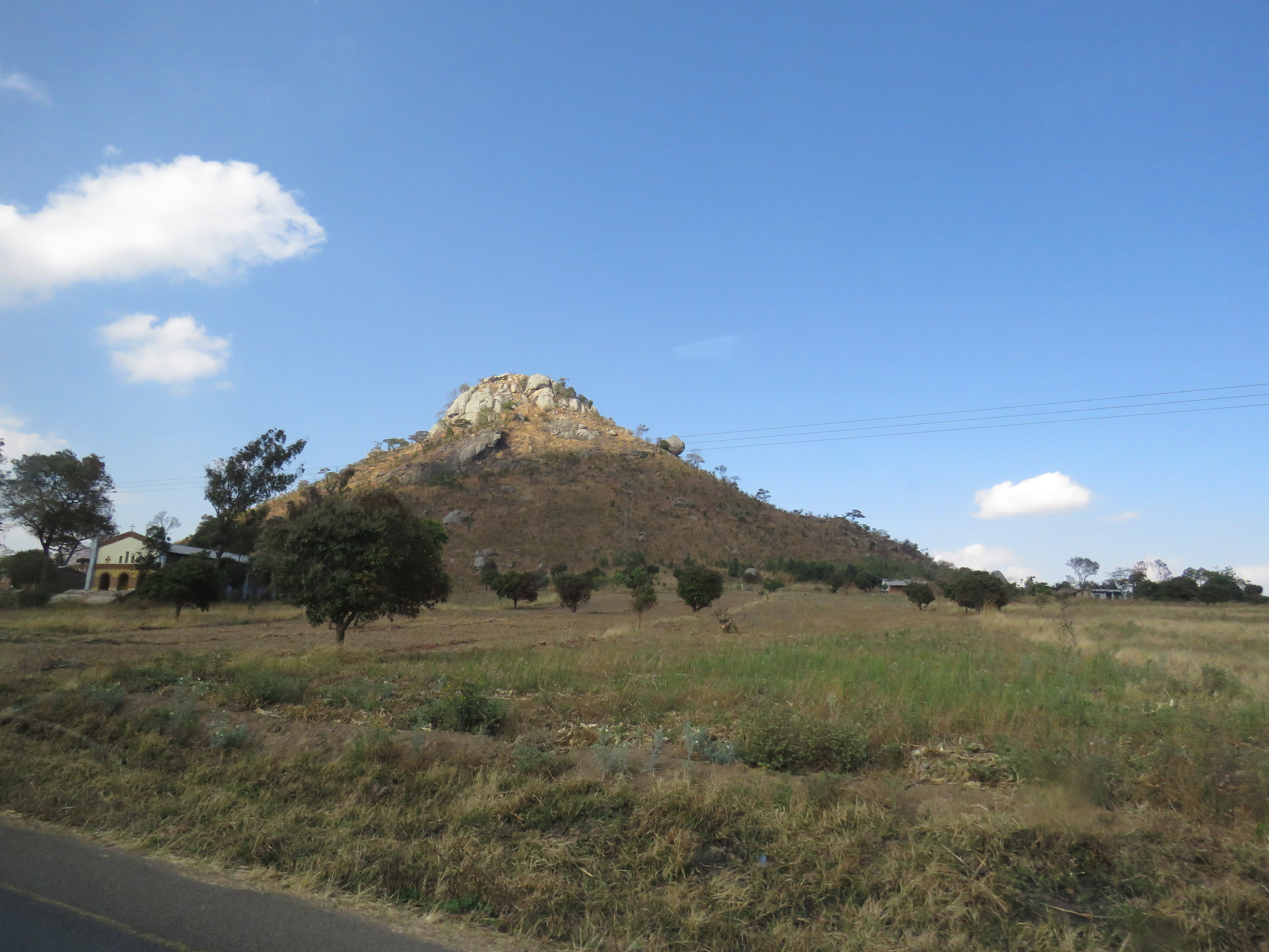
Along the road in Malawi

23 April, 11.51
Topographic Map of Dedza, Malawi
Find elevation by address:

Places in Dedza, Malawi:
Places near Dedza, Malawi:
Chongoni Rock Art Area
Dedza
Golomoti
Lake Malawi
Lake Malawi National Park Office
Mangochi
Nkaya Station
Southern Region
Recent Searches:
- Elevation of Corso Fratelli Cairoli, 35, Macerata MC, Italy
- Elevation of Tallevast Rd, Sarasota, FL, USA
- Elevation of 4th St E, Sonoma, CA, USA
- Elevation of Black Hollow Rd, Pennsdale, PA, USA
- Elevation of Oakland Ave, Williamsport, PA, USA
- Elevation of Pedrógão Grande, Portugal
- Elevation of Klee Dr, Martinsburg, WV, USA
- Elevation of Via Roma, Pieranica CR, Italy
- Elevation of Tavkvetili Mountain, Georgia
- Elevation of Hartfords Bluff Cir, Mt Pleasant, SC, USA