Elevation of Darrah Rd, Mariposa, CA, USA
Location: United States > California > Mariposa County > Mariposa >
Longitude: -119.85403
Latitude: 37.4972842
Elevation: 886m / 2907feet
Barometric Pressure: 91KPa
Elevation Map:
Satellite Map:
Related Photos:
Carstens Fire, Mariposa County, CA
Self Portrait
Red Moss

Cemetery, Mariposa

ANGELIC VALLEY VIEW POINT - MERCED RIVER
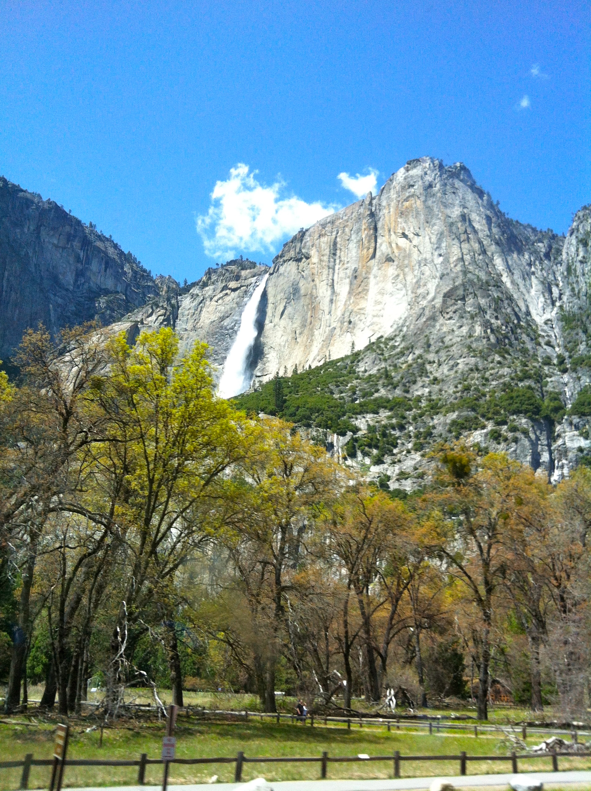
YOSEMITE NATIONAL PARK - VALLEY VIEW POINT

3d Striped Rock (view it large or original)
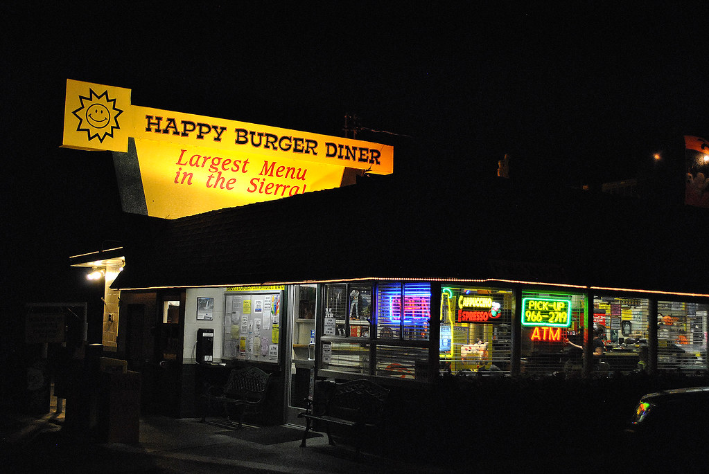
Largest Menu in the Sierra
Ominous Sky
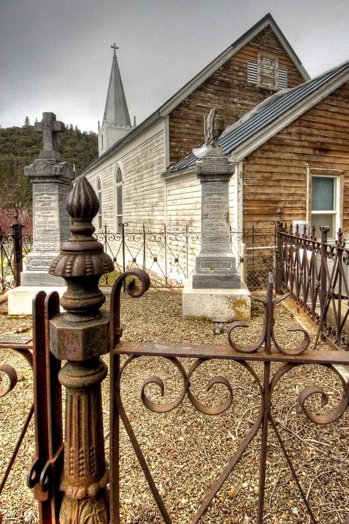
St. Joseph's Church, Mariposa

Cruising for Burgers
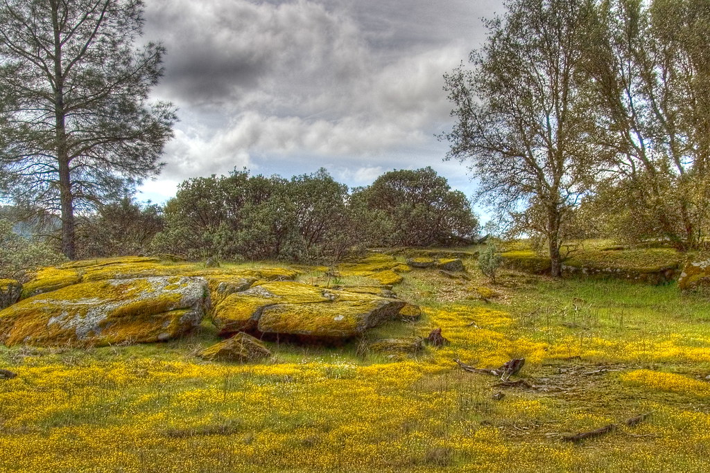
Spring Flowers
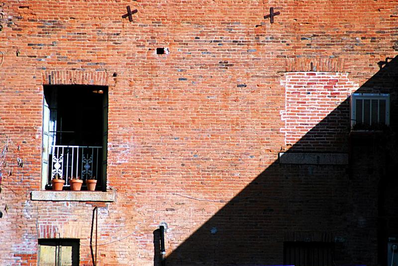
day 16 - brick building

Taken from Tunnel View
20090510 P1090162 Yosemite Devils Peak - Summit View

White-banded Crab Spider male
200709018.jpg
As sharp as a knife
Misty Glacier Point
YOSEMITE VALLEY VIEW POINT
Briceburg suspension bridge (#0590)
Half Dome, Yosemite National Park, California, USA
Surrounded by Poppies
Water Washing Over Boulders, South Fork Merced River, Yosemite National Park, California, 2013
A Bridge Built to Last
South Fork of the Merced River
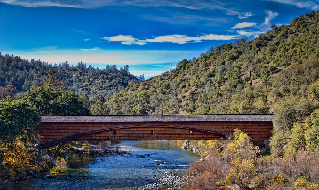
The Covered Bridge at Bridgeport

Tenaya Lake
_MG_7359.jpg
I'll paint a better picture of the woods with you in it.
2009 Cali Road Trip - 130
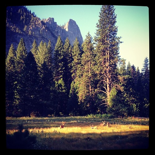
I was treated to a herd of mule deer hanging out this morning in Yosemite.
Curves Hwy.49

Flowing Water
P1000316 - Yosemite
Merced River, Yosemite

Riverside of Yosemite Village. Gorgeous!
IMG_3905.JPG

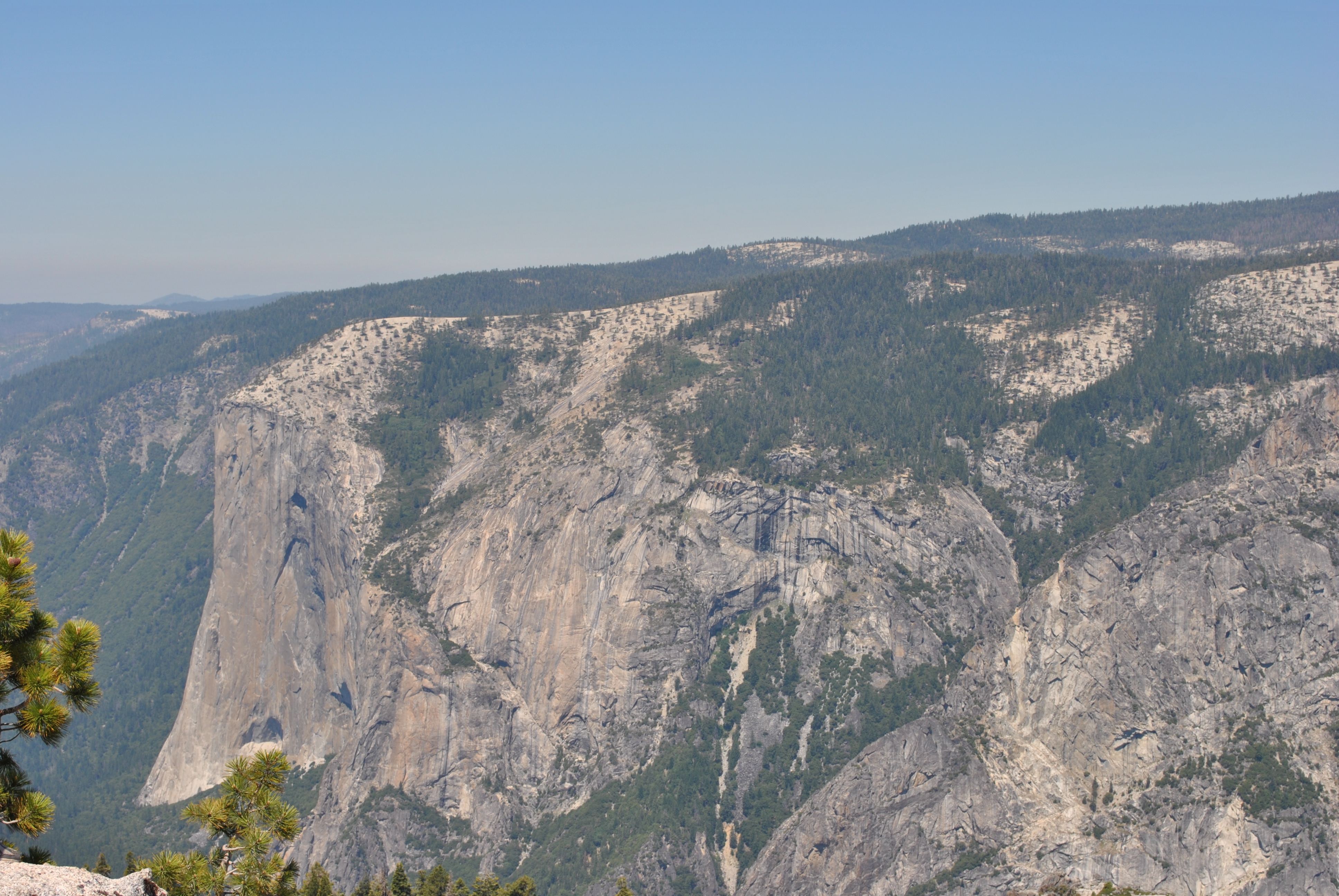
El Capitan Yosemite
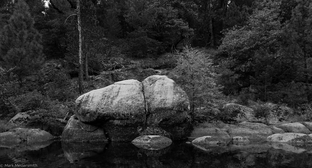
Boulders, South Fork Merced River, Yosemite National Park, California, 2013
Topographic Map of Darrah Rd, Mariposa, CA, USA
Find elevation by address:

Places near Darrah Rd, Mariposa, CA, USA:
5671 Darrah Rd
5641 Darrah Rd
5689 Clouds Rest
5520 Darrah Rd
5340 Montana Del Oro Dr
5255 Montana Del Oro Dr
3730 Sherrod Rd
5226 Montana Del Oro Dr
5840 Evergreen Ln
Pine Top Drive
5488 Clouds Rest
5810 Lehamite Fall
Glacier Point
5940 Meadow Ln
3686 Quail Ridge Dr
5737 Glacier Point
Darrah Rd, Mariposa, CA, USA
5273 Boyer Rd
4986 Sierra Pines Dr
Meadow Lane
Recent Searches:
- Elevation of Corso Fratelli Cairoli, 35, Macerata MC, Italy
- Elevation of Tallevast Rd, Sarasota, FL, USA
- Elevation of 4th St E, Sonoma, CA, USA
- Elevation of Black Hollow Rd, Pennsdale, PA, USA
- Elevation of Oakland Ave, Williamsport, PA, USA
- Elevation of Pedrógão Grande, Portugal
- Elevation of Klee Dr, Martinsburg, WV, USA
- Elevation of Via Roma, Pieranica CR, Italy
- Elevation of Tavkvetili Mountain, Georgia
- Elevation of Hartfords Bluff Cir, Mt Pleasant, SC, USA