Elevation of Montana Del Oro Dr, Mariposa, CA, USA
Location: United States > California > Mariposa County > Mariposa >
Longitude: -119.83813
Latitude: 37.504761
Elevation: 986m / 3235feet
Barometric Pressure: 0KPa
Related Photos:
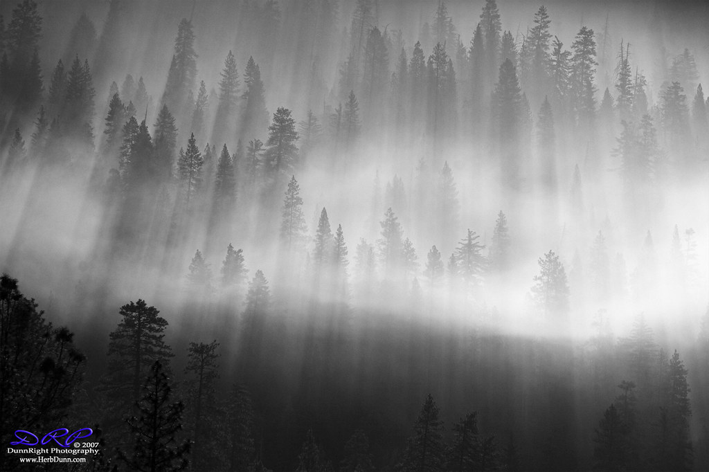
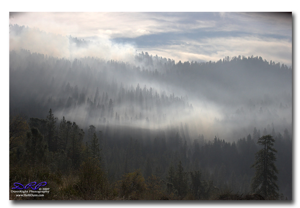
Forest of Smoke - B&W

Carstens Fire, Mariposa County, CA
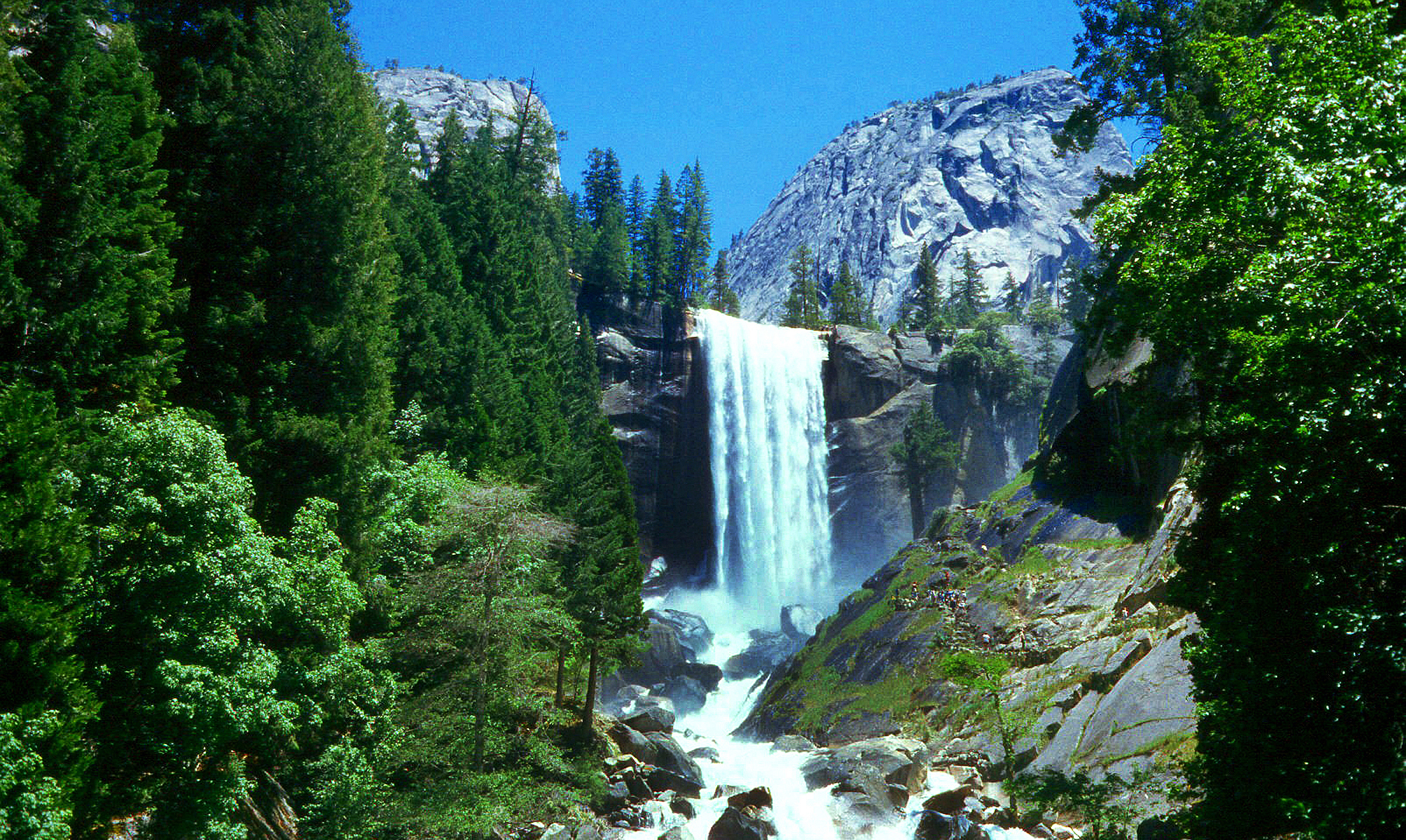
Vernal Falls - Yosemite National Park - California 1984

Ominous Sky

VALLEY VIEW OF YOSEMITE (GETTY)
St. Joseph's Church, Mariposa
Sheer Beauty

I've been eyeing this bridge for the past year finding a good day to fly by it. Well I was able to take my drone to work and was finally able to do it. This is the William Sell Bridge and it was built in 1972. It overlooks a beautiful view of the Sierras,
Forest of Smoke #2

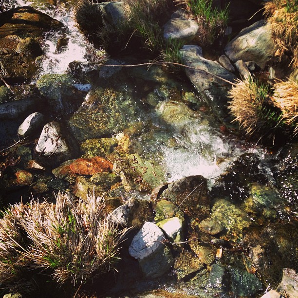
River Cairn

Red Moss

Yosemite - Wawona road valley view

The Sierra Foothills

3d Striped Rock (view it large or original)

day 16 - brick building

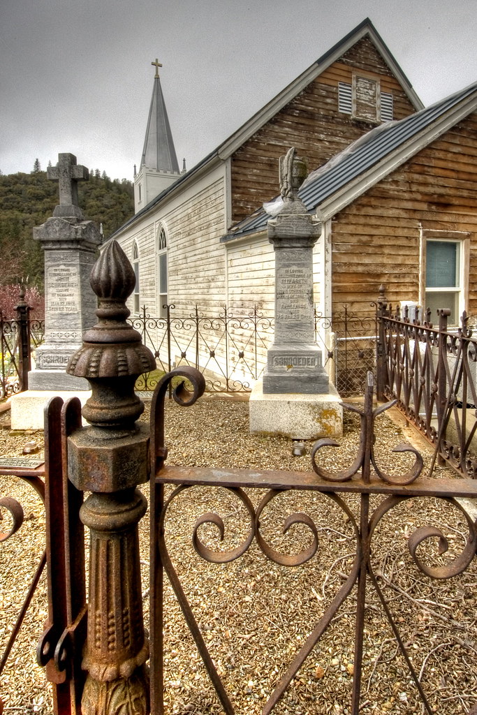
Cemetery, Mariposa

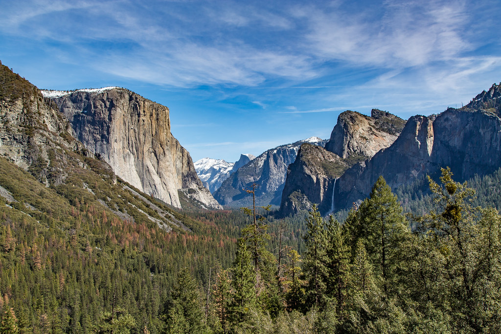
Taken from Tunnel View

200709018.jpg

20090510 P1090162 Yosemite Devils Peak - Summit View

Brochymena sulcata stink bug

As sharp as a knife

California - Nevada & Vernal Falls - Yosemeti National Park 1984

Tenaya Lake

Half Dome, Yosemite National Park, California, USA

P1000316 - Yosemite

_MG_7359.jpg

Curves Hwy.49

Merced River 8867

I'll paint a better picture of the woods with you in it.

P1000346 - Yosemite

Yosemite National Park

P1000320 - Yosemite

Storm in Yosemite

Water Washing Over Boulders, South Fork Merced River, Yosemite National Park, California, 2013
Flowing Water

P1000322 - Yosemite

The Drive

A Bridge Built to Last
Topographic Map of Montana Del Oro Dr, Mariposa, CA, USA
Find elevation by address:

Places near Montana Del Oro Dr, Mariposa, CA, USA:
5255 Montana Del Oro Dr
Pine Top Drive
5840 Evergreen Ln
5940 Meadow Ln
Glacier Point
5737 Glacier Point
Darrah Rd, Mariposa, CA, USA
Meadow Lane
5488 Clouds Rest
5520 Royal Arches
5810 Lehamite Fall
5525 Royal Arches
4986 Sierra Pines Dr
6102 Monte Vista Ln
3318 Triangle Rd
6111 Monte Vista Ln
3047 E Westfall Rd
6139 Old Mill Rd
3160 Triangle Park Rd
3154 Triangle Park Rd
Recent Searches:
- Elevation map of Greenland, Greenland
- Elevation of Sullivan Hill, New York, New York, 10002, USA
- Elevation of Morehead Road, Withrow Downs, Charlotte, Mecklenburg County, North Carolina, 28262, USA
- Elevation of 2800, Morehead Road, Withrow Downs, Charlotte, Mecklenburg County, North Carolina, 28262, USA
- Elevation of Yangbi Yi Autonomous County, Yunnan, China
- Elevation of Pingpo, Yangbi Yi Autonomous County, Yunnan, China
- Elevation of Mount Malong, Pingpo, Yangbi Yi Autonomous County, Yunnan, China
- Elevation map of Yongping County, Yunnan, China
- Elevation of North 8th Street, Palatka, Putnam County, Florida, 32177, USA
- Elevation of 107, Big Apple Road, East Palatka, Putnam County, Florida, 32131, USA
- Elevation of Jiezi, Chongzhou City, Sichuan, China
- Elevation of Chongzhou City, Sichuan, China
- Elevation of Huaiyuan, Chongzhou City, Sichuan, China
- Elevation of Qingxia, Chengdu, Sichuan, China
- Elevation of Corso Fratelli Cairoli, 35, Macerata MC, Italy
- Elevation of Tallevast Rd, Sarasota, FL, USA
- Elevation of 4th St E, Sonoma, CA, USA
- Elevation of Black Hollow Rd, Pennsdale, PA, USA
- Elevation of Oakland Ave, Williamsport, PA, USA
- Elevation of Pedrógão Grande, Portugal