Elevation of Crusade Peak, Improvement District No. 12, AB T0E, Canada
Location: Canada > Alberta > Division No. 15 > Improvement District No. 12 >
Longitude: -117.33916
Latitude: 52.7188888
Elevation: 2740m / 8989feet
Barometric Pressure: 72KPa
Elevation Map:
Satellite Map:
Related Photos:
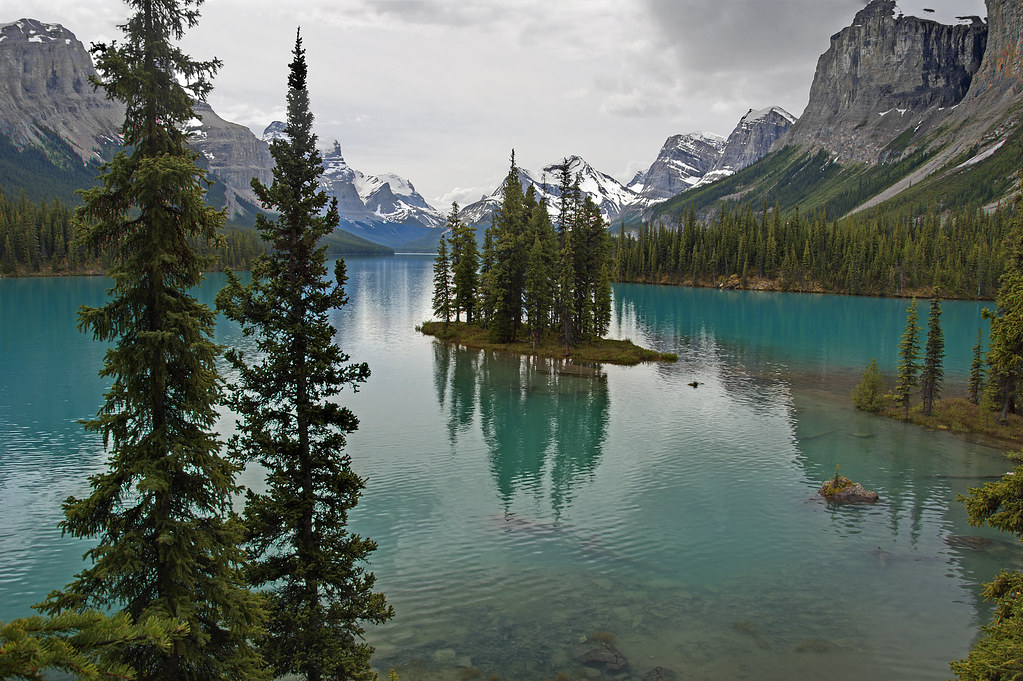
Feel the spirit
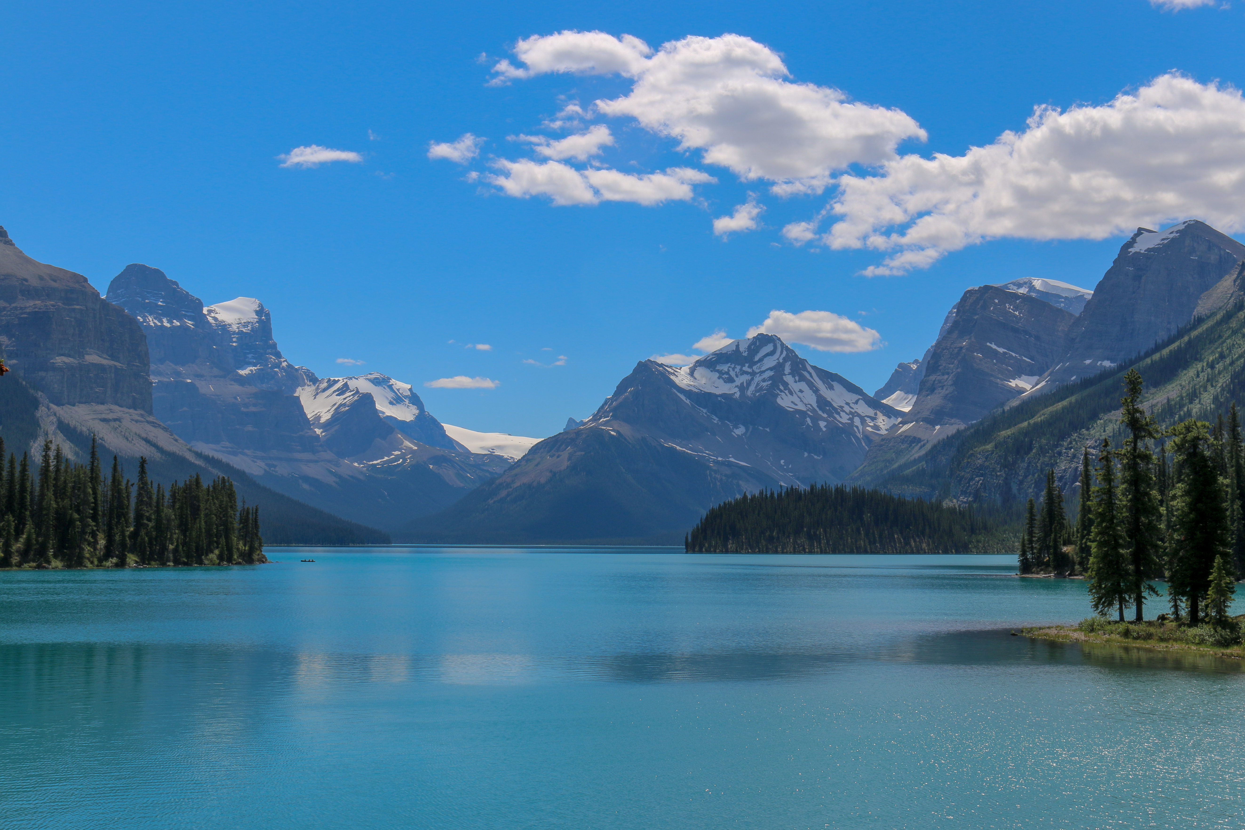
Maligne Lake

views from the boat
DSC_3063.jpg
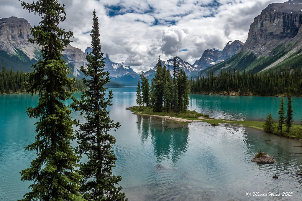
Spirit Island - Maligne Lake
Topographic Map of Crusade Peak, Improvement District No. 12, AB T0E, Canada
Find elevation by address:

Places near Crusade Peak, Improvement District No. 12, AB T0E, Canada:
Chivalry Peak
Mount Balinhard
Mount Meda
Maligne Mountain
Mount Cardinal
Mount Paul
Mount Lindsay
Helmet Ne5
Monkhead Mountain
Cornucopia Peak
Mount Toma
Mount Warren
Helmet Mountain
Deception Mountain
Fortuna Peak
Mount La Grace
Mount Brazeau
Mount Mackenzie
Spirit Island
Samson Peak
Recent Searches:
- Elevation of Corso Fratelli Cairoli, 35, Macerata MC, Italy
- Elevation of Tallevast Rd, Sarasota, FL, USA
- Elevation of 4th St E, Sonoma, CA, USA
- Elevation of Black Hollow Rd, Pennsdale, PA, USA
- Elevation of Oakland Ave, Williamsport, PA, USA
- Elevation of Pedrógão Grande, Portugal
- Elevation of Klee Dr, Martinsburg, WV, USA
- Elevation of Via Roma, Pieranica CR, Italy
- Elevation of Tavkvetili Mountain, Georgia
- Elevation of Hartfords Bluff Cir, Mt Pleasant, SC, USA