Elevation of Mount MacKenzie, Yellowhead County, AB T0E, Canada
Location: Canada > Alberta > Division No. 14 > Yellowhead County >
Longitude: -117.22666
Latitude: 52.845
Elevation: 2171m / 7123feet
Barometric Pressure: 78KPa
Elevation Map:
Satellite Map:
Related Photos:
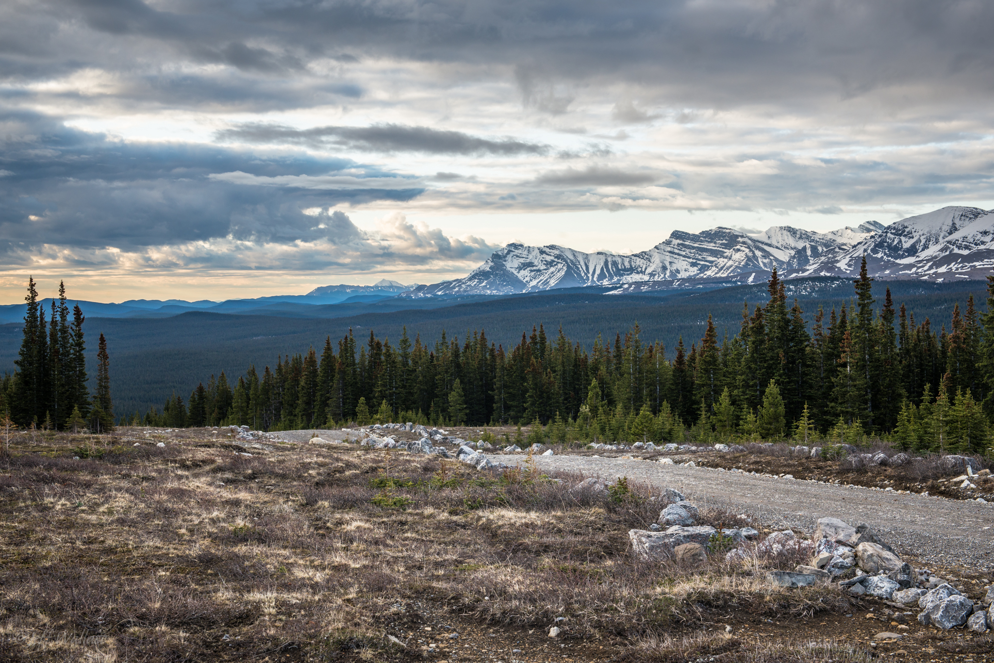
The Edge of Wilderness
Topographic Map of Mount MacKenzie, Yellowhead County, AB T0E, Canada
Find elevation by address:

Places near Mount MacKenzie, Yellowhead County, AB T0E, Canada:
Mount Toma
Mount Russell
Mount La Grace
Mount Cardinal
Mount Meda
Mount Mcbeath
Mount Balinhard
Tripoli Mountain
Ruby Mountain
Cheviot Mountain
Gmmc Mountain
Mount Lindsay
Southesk Cairn
Cadomin Mountain
Crusade Peak
Thistle Mountain
Deception Mountain
Prospect Mountain
Chivalry Peak
Blackface Mountain
Recent Searches:
- Elevation of Corso Fratelli Cairoli, 35, Macerata MC, Italy
- Elevation of Tallevast Rd, Sarasota, FL, USA
- Elevation of 4th St E, Sonoma, CA, USA
- Elevation of Black Hollow Rd, Pennsdale, PA, USA
- Elevation of Oakland Ave, Williamsport, PA, USA
- Elevation of Pedrógão Grande, Portugal
- Elevation of Klee Dr, Martinsburg, WV, USA
- Elevation of Via Roma, Pieranica CR, Italy
- Elevation of Tavkvetili Mountain, Georgia
- Elevation of Hartfords Bluff Cir, Mt Pleasant, SC, USA