Elevation of Samson Peak, Improvement District No. 12, AB T0E, Canada
Location: Canada > Alberta > Division No. 15 > Improvement District No. 12 >
Longitude: -117.50972
Latitude: 52.6805555
Elevation: 2856m / 9370feet
Barometric Pressure: 71KPa
Elevation Map:
Satellite Map:
Related Photos:
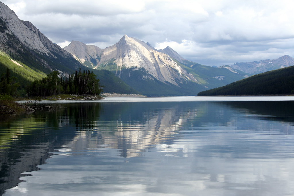
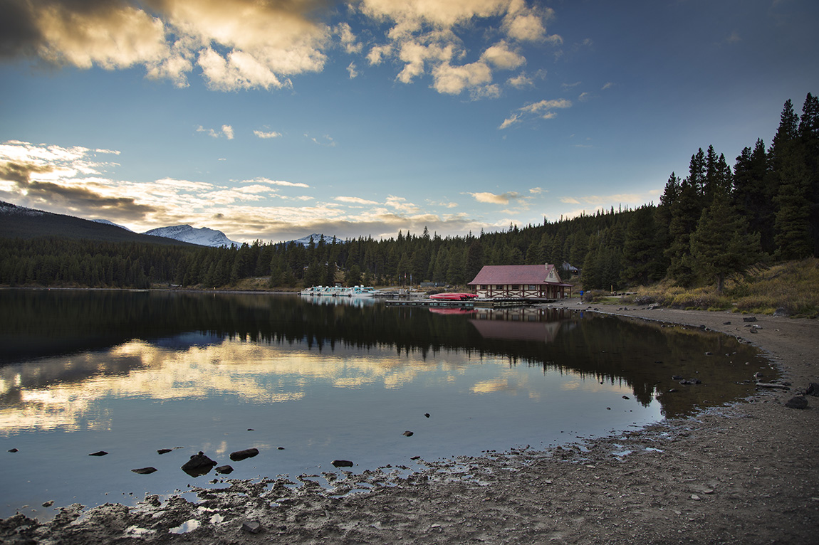
Medicine Lake, Jasper National Park, Canada
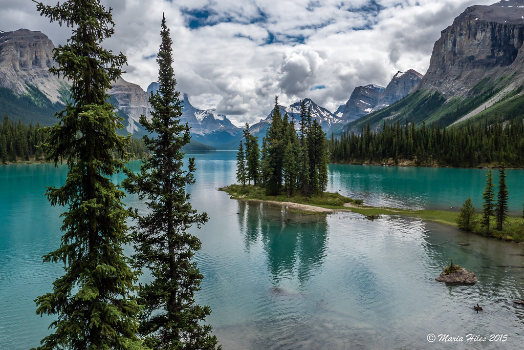
Spirit Island - Maligne Lake
Maligne Reflection
Feel the spirit
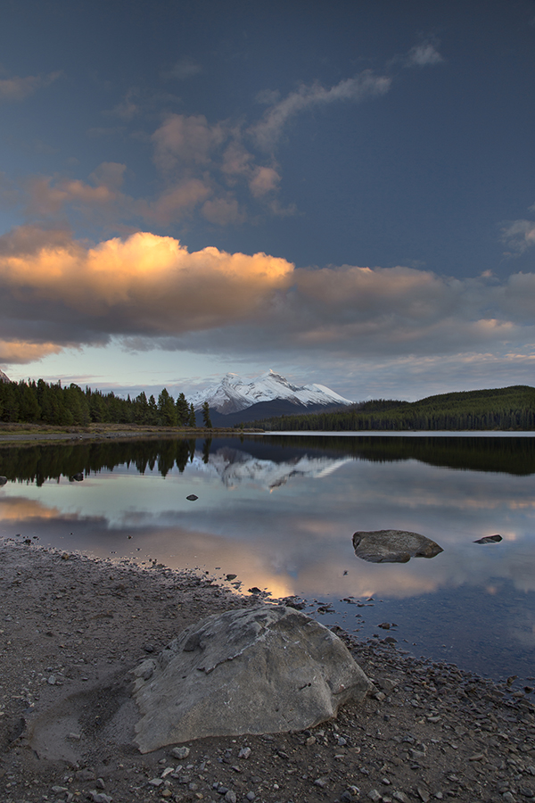
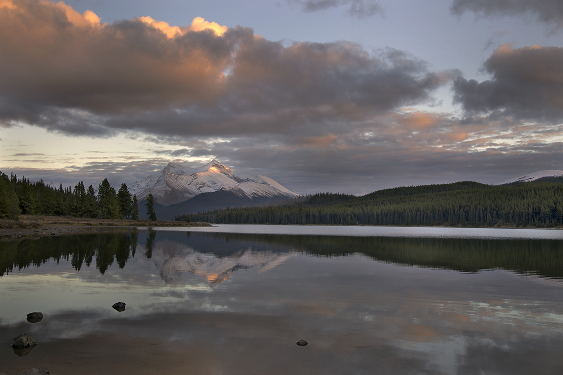
Maligne Lake at Dusk
Maligne Sunset
Maligne View
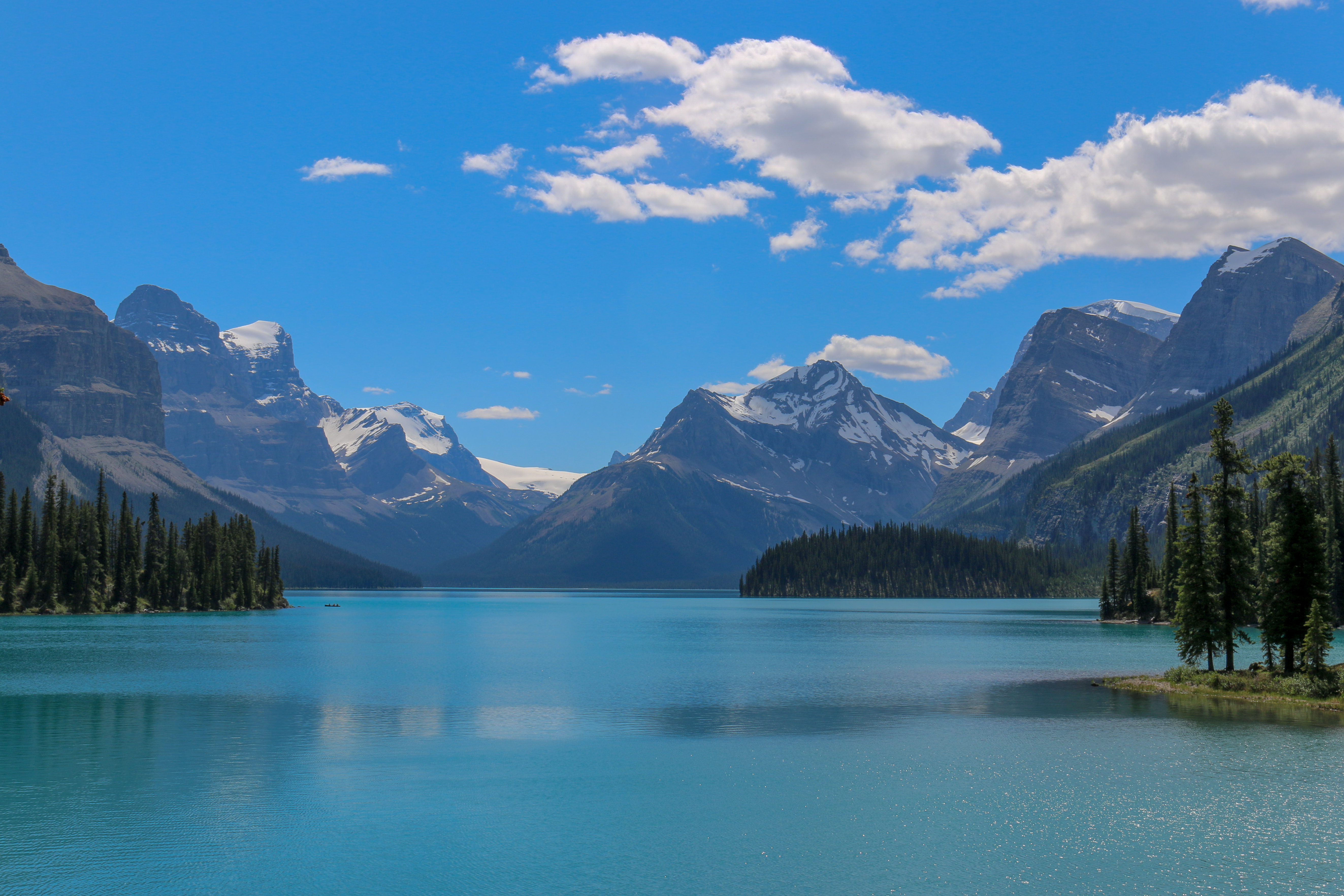
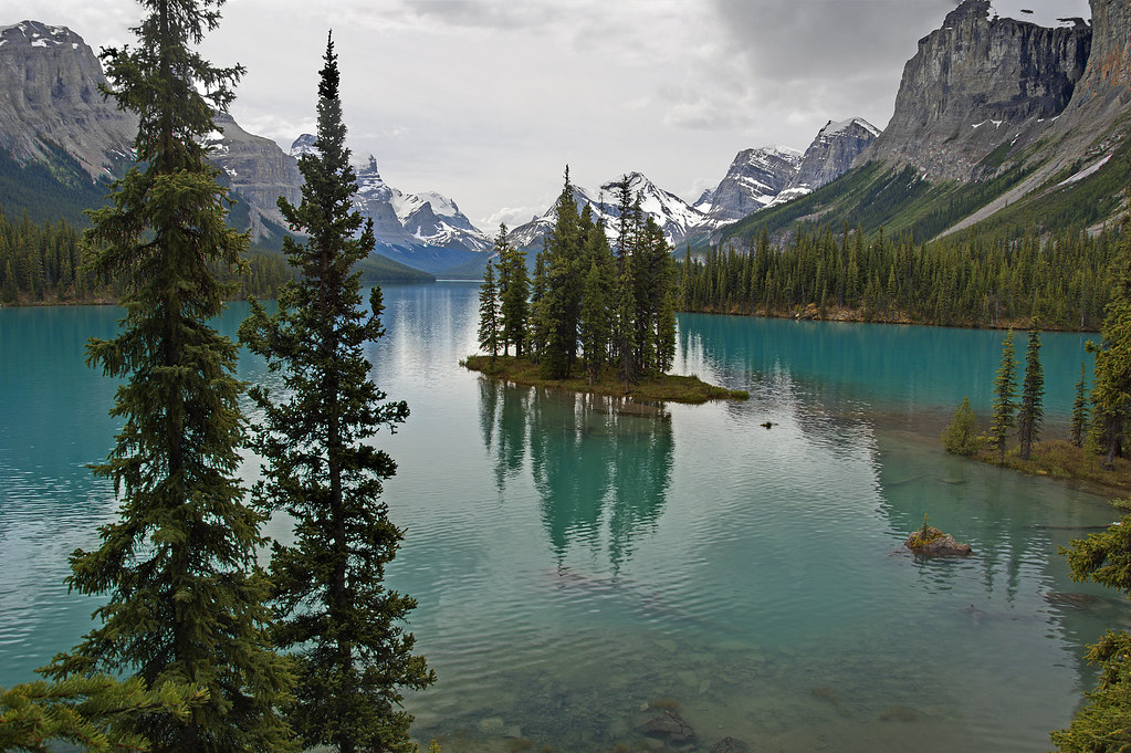
Maligne Lake

Boating on Maligne Lake
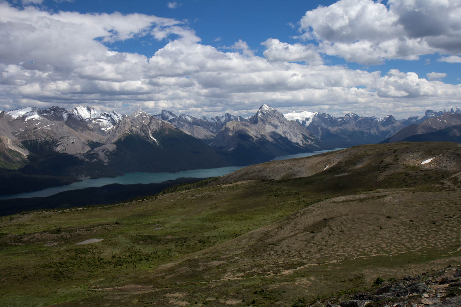
Maligne Lake

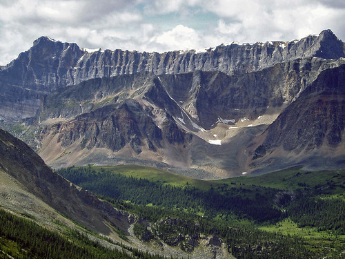
views from the boat
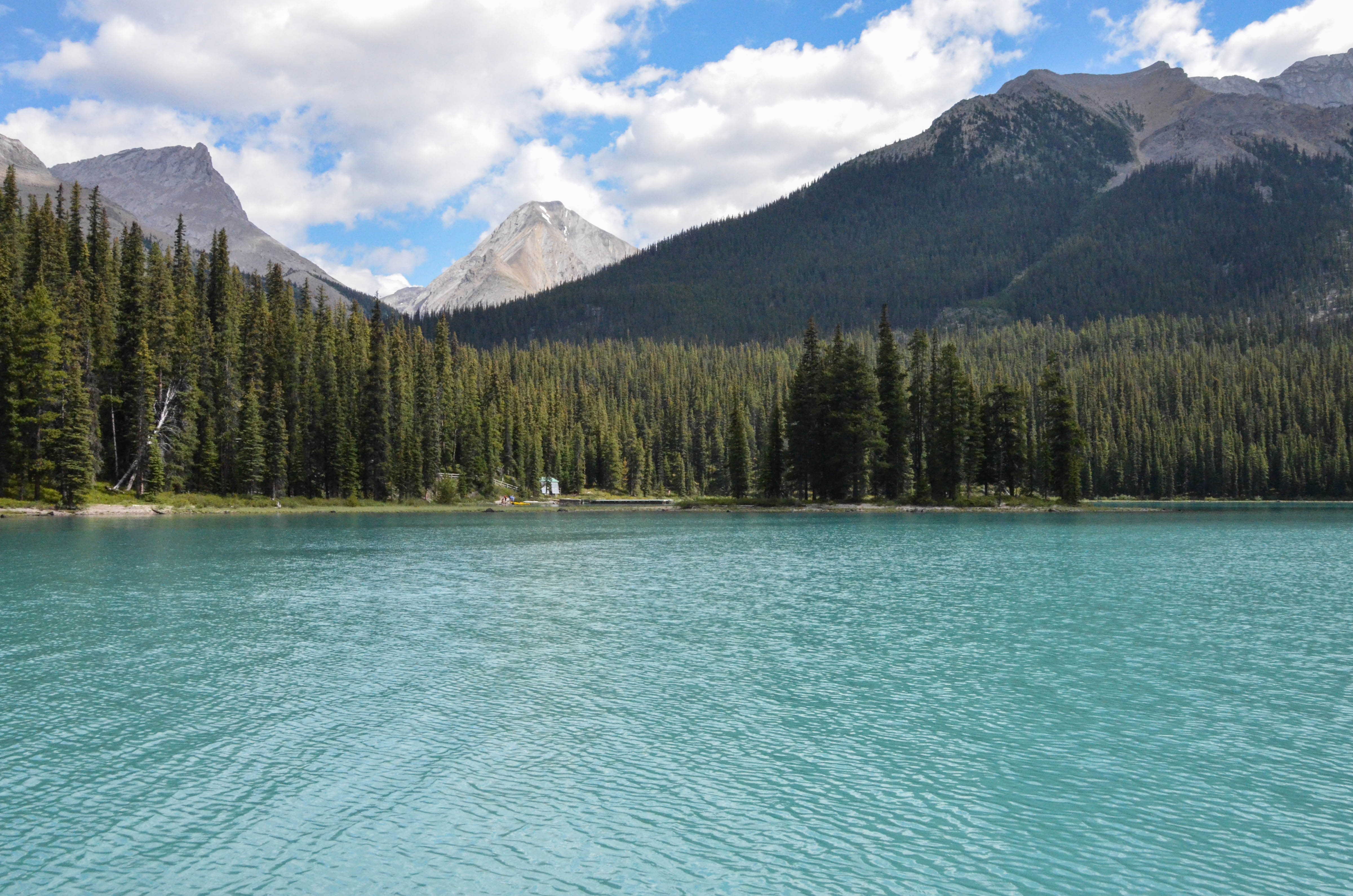
DSC_3063.jpg
Topographic Map of Samson Peak, Improvement District No. 12, AB T0E, Canada
Find elevation by address:

Places near Samson Peak, Improvement District No. 12, AB T0E, Canada:
Maligne Lake
Spirit Island
Leah Peak
Mount Charlton
Queen Elizabeth Ranges
Helmet Mountain
Mount Paul
Llysfran Peak
Maligne Mountain
Peak 45-36
Mount Julian
Mount Mary Vaux
Helmet Ne5
Shackle Nw2
Shackle Peak
Monkhead Mountain
Cotter Peak
Sympathy Peak
Clevis Peak
Crusade Peak
Recent Searches:
- Elevation of Corso Fratelli Cairoli, 35, Macerata MC, Italy
- Elevation of Tallevast Rd, Sarasota, FL, USA
- Elevation of 4th St E, Sonoma, CA, USA
- Elevation of Black Hollow Rd, Pennsdale, PA, USA
- Elevation of Oakland Ave, Williamsport, PA, USA
- Elevation of Pedrógão Grande, Portugal
- Elevation of Klee Dr, Martinsburg, WV, USA
- Elevation of Via Roma, Pieranica CR, Italy
- Elevation of Tavkvetili Mountain, Georgia
- Elevation of Hartfords Bluff Cir, Mt Pleasant, SC, USA