Elevation of Fortuna Peak, Improvement District No. 12, AB T0E, Canada
Location: Canada > Alberta > Division No. 15 > Improvement District No. 12 >
Longitude: -117.26833
Latitude: 52.5713888
Elevation: 3071m / 10075feet
Barometric Pressure: 69KPa
Elevation Map:
Satellite Map:
Related Photos:

Spindley Creek Picnic site2
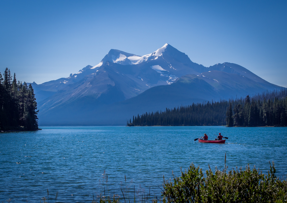
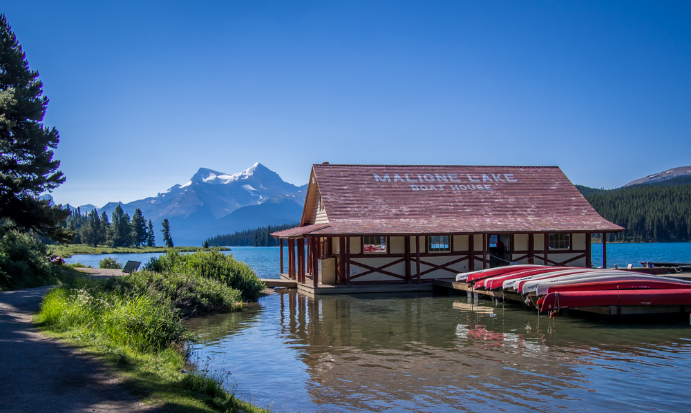
MaligneLake-2
Spirit Island- Canada
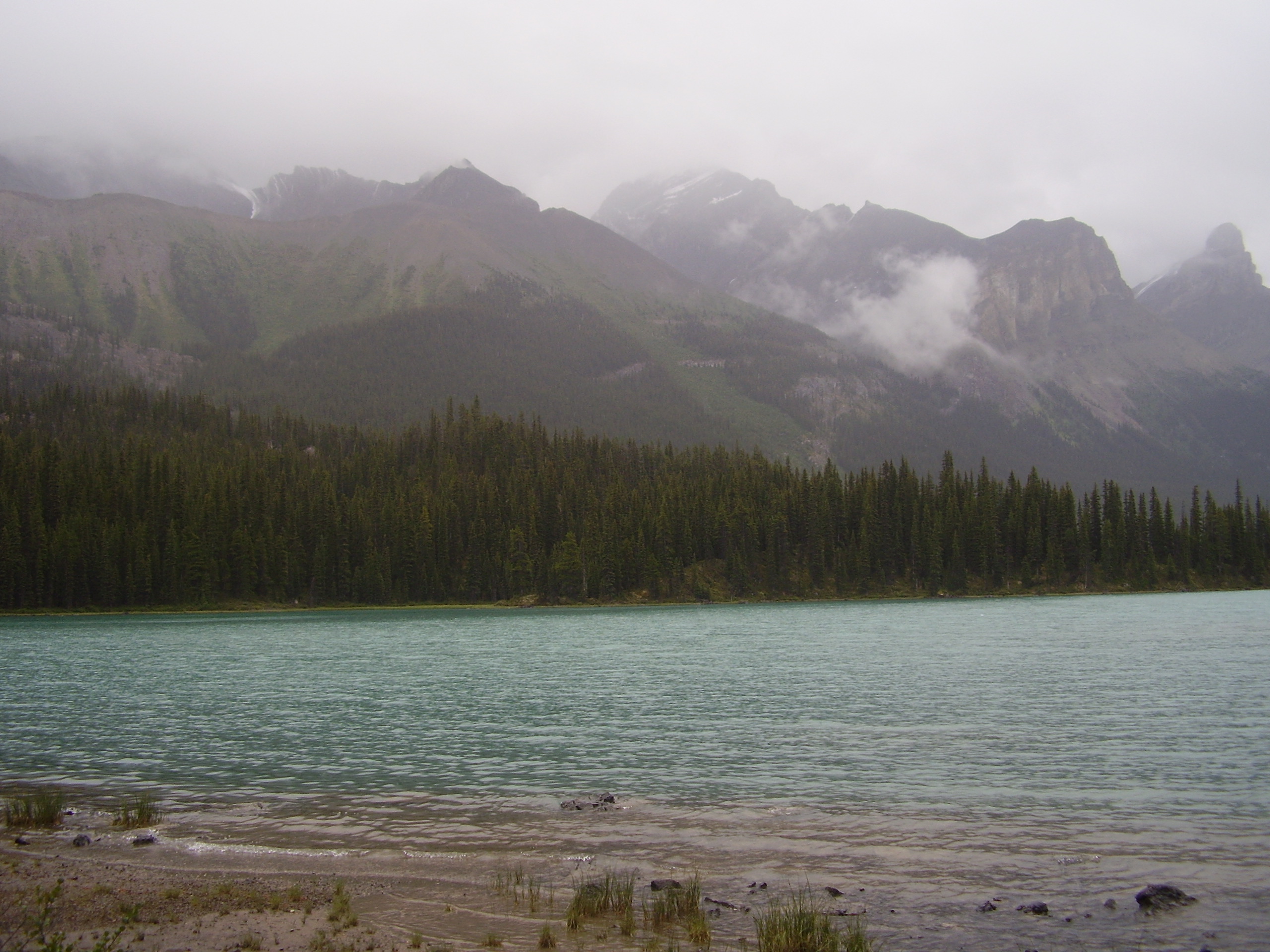
Lake- Canada
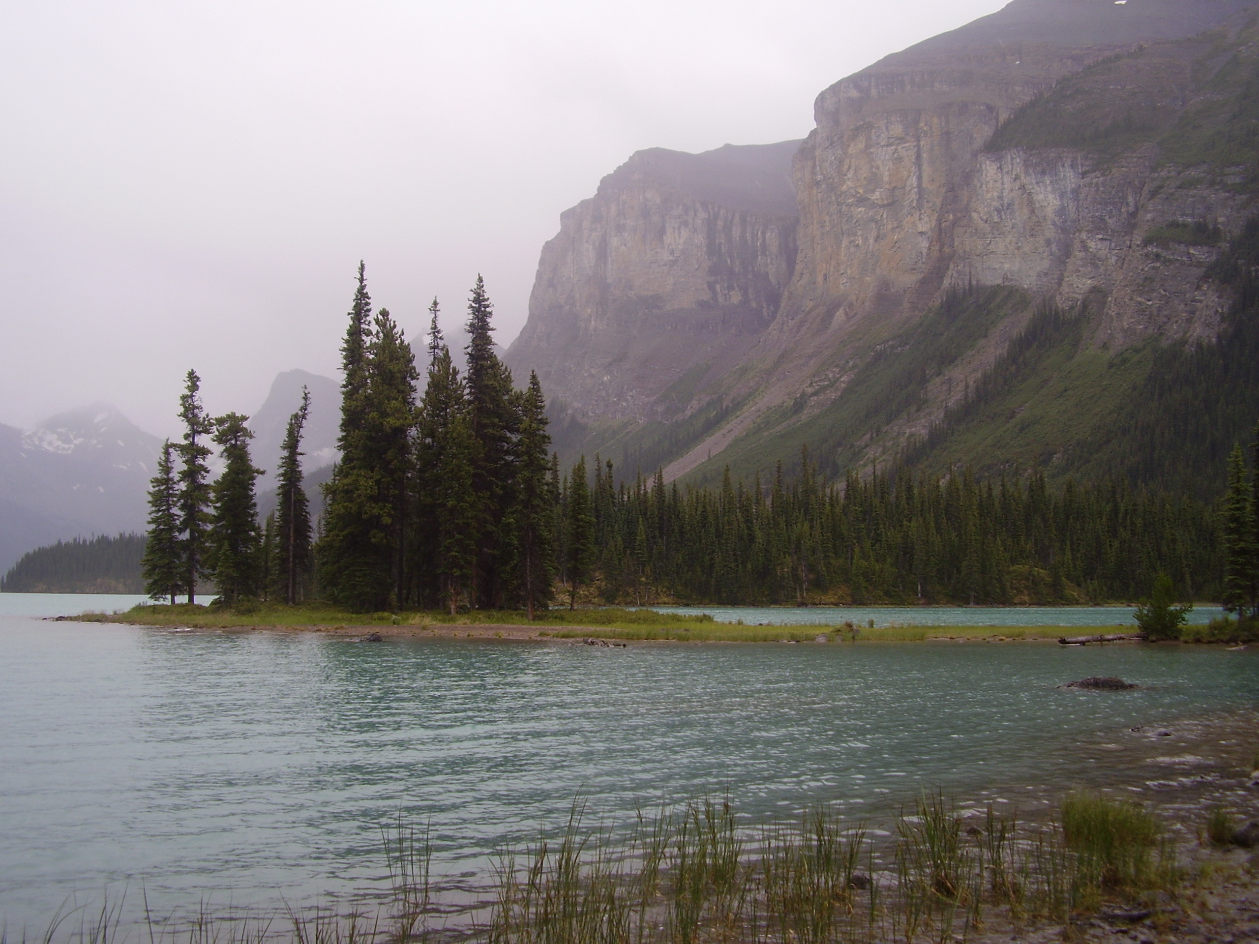
Malign lake
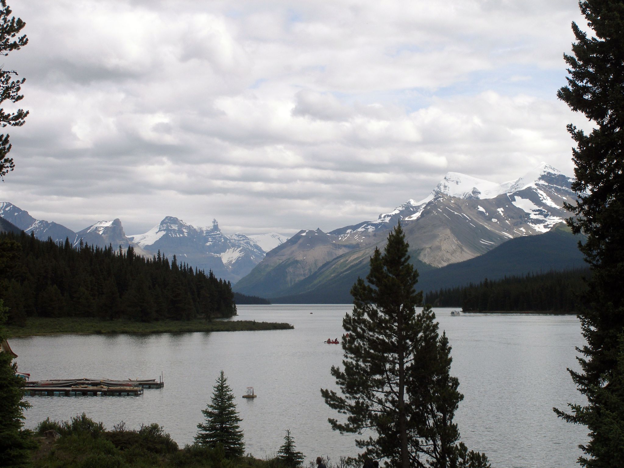
MaligneLake-1
Topographic Map of Fortuna Peak, Improvement District No. 12, AB T0E, Canada
Find elevation by address:

Places near Fortuna Peak, Improvement District No. 12, AB T0E, Canada:
Cornucopia Peak
Tyche Peak
Moriah Peak
Mount Brazeau
Mount Henry Macleod
Rebakah Peak
Mount Warren
Coronet Mountain
Monkhead Mountain
Chivalry Peak
Poboktan Mountain
Maligne Mountain
Waterfall Peaks
Mount Southesk
Crusade Peak
Mount Paul
Mount Julian
Replica Peak
Mount Mary Vaux
Copia Peak
Recent Searches:
- Elevation of Corso Fratelli Cairoli, 35, Macerata MC, Italy
- Elevation of Tallevast Rd, Sarasota, FL, USA
- Elevation of 4th St E, Sonoma, CA, USA
- Elevation of Black Hollow Rd, Pennsdale, PA, USA
- Elevation of Oakland Ave, Williamsport, PA, USA
- Elevation of Pedrógão Grande, Portugal
- Elevation of Klee Dr, Martinsburg, WV, USA
- Elevation of Via Roma, Pieranica CR, Italy
- Elevation of Tavkvetili Mountain, Georgia
- Elevation of Hartfords Bluff Cir, Mt Pleasant, SC, USA