Elevation of Coronet Mountain, Improvement District No. 12, AB T0E, Canada
Location: Canada > Alberta > Division No. 15 > Improvement District No. 12 >
Longitude: -117.37777
Latitude: 52.5155555
Elevation: 3060m / 10039feet
Barometric Pressure: 70KPa
Elevation Map:
Satellite Map:
Related Photos:
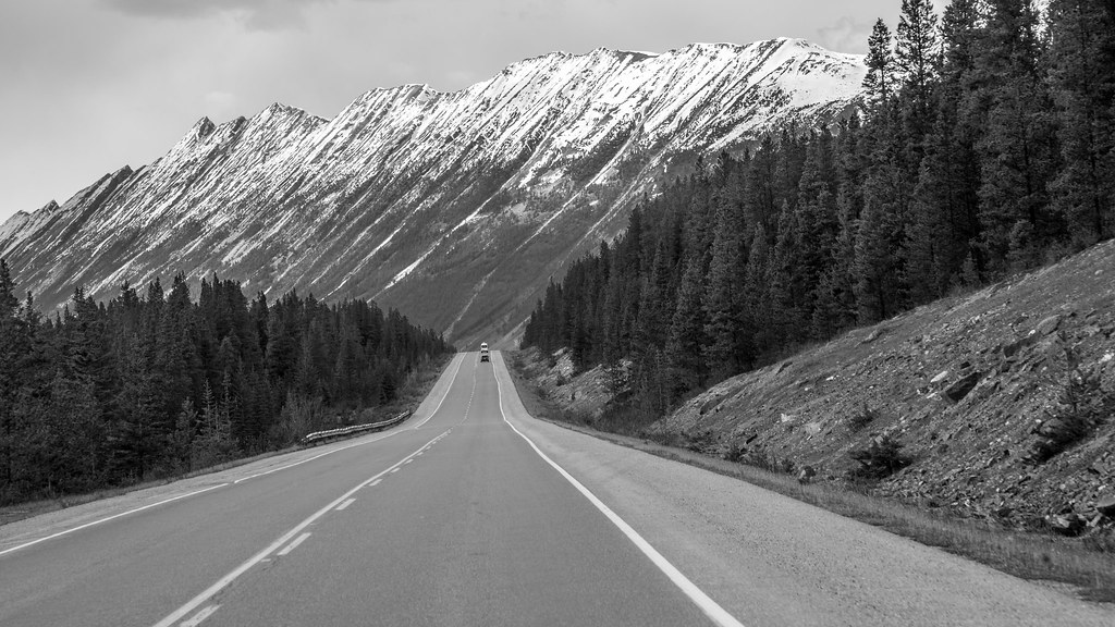
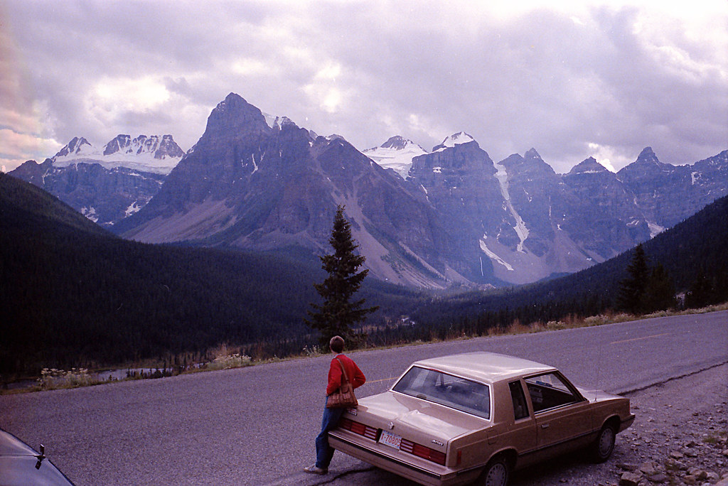
The dream drive
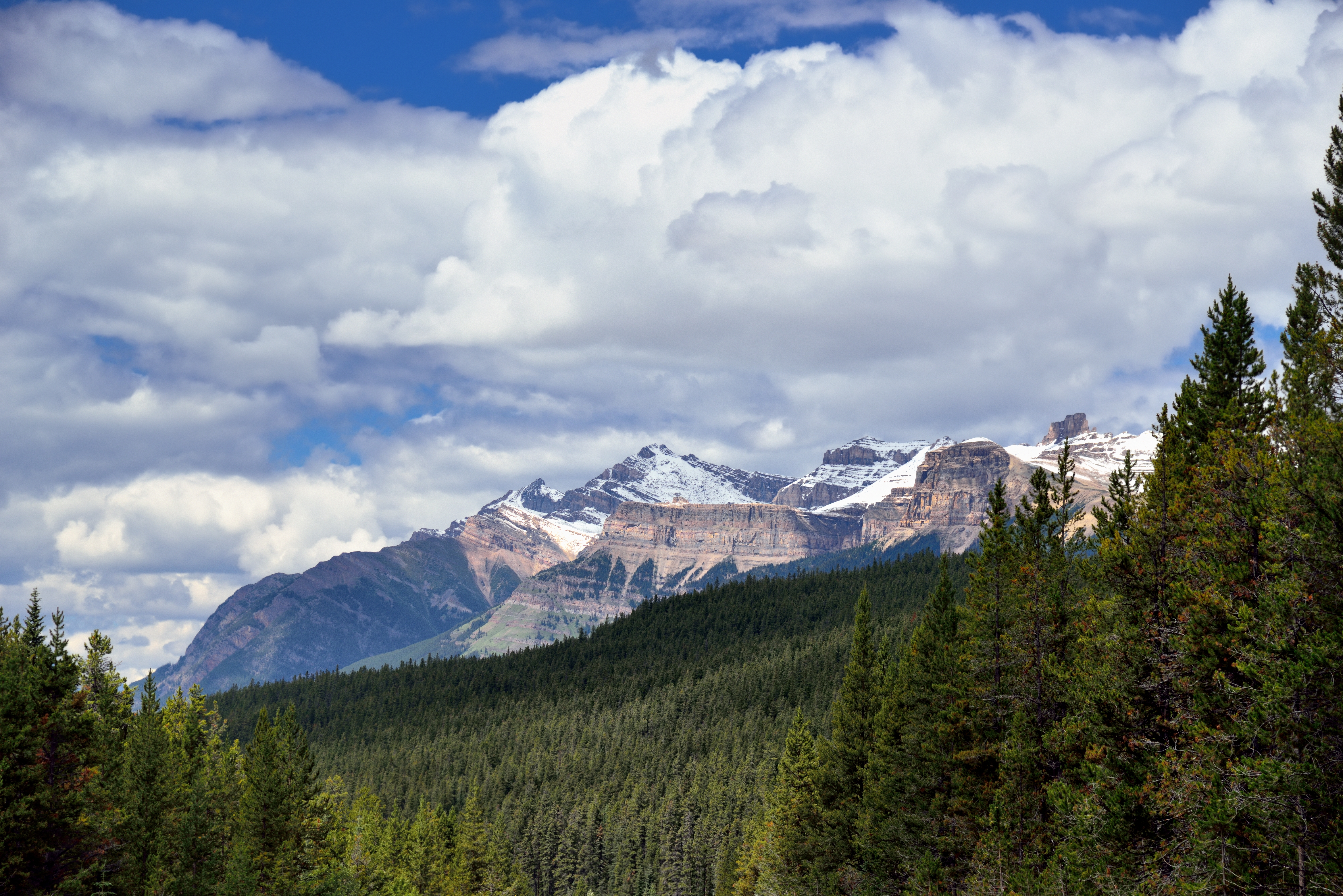
A View to Mount Kerkeslin and the Maligne Range (Jasper National Park)
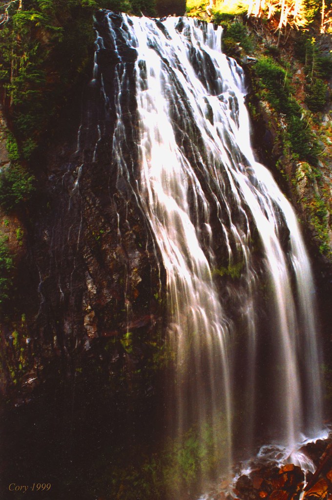
Impressions of a Waterfall
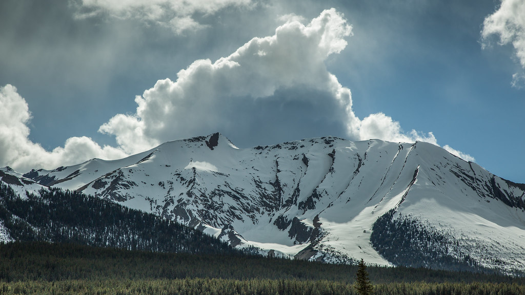
Canadian Rockies
Canada's Icefields Parkway in 1986

20110720-170133T
Topographic Map of Coronet Mountain, Improvement District No. 12, AB T0E, Canada
Find elevation by address:

Places near Coronet Mountain, Improvement District No. 12, AB T0E, Canada:
Mount Henry Macleod
Mount Brazeau
Mount Warren
Replica Peak
Monkhead Mountain
Mount Julian
Mount Mary Vaux
Mount Paul
Waterfall Peaks
Fortuna Peak
Llysfran Peak
Cornucopia Peak
Cotter Peak
Maligne Mountain
Tyche Peak
Mount Mcguire
Mount Weiss
Mount Charlton
Gong Peak
Sunwapta River
Recent Searches:
- Elevation of Corso Fratelli Cairoli, 35, Macerata MC, Italy
- Elevation of Tallevast Rd, Sarasota, FL, USA
- Elevation of 4th St E, Sonoma, CA, USA
- Elevation of Black Hollow Rd, Pennsdale, PA, USA
- Elevation of Oakland Ave, Williamsport, PA, USA
- Elevation of Pedrógão Grande, Portugal
- Elevation of Klee Dr, Martinsburg, WV, USA
- Elevation of Via Roma, Pieranica CR, Italy
- Elevation of Tavkvetili Mountain, Georgia
- Elevation of Hartfords Bluff Cir, Mt Pleasant, SC, USA