Elevation of Gong Peak, Improvement District No. 12, AB T0E, Canada
Location: Canada > Alberta > Division No. 15 > Jasper >
Longitude: -117.45666
Latitude: 52.37
Elevation: 2790m / 9154feet
Barometric Pressure: 72KPa
Elevation Map:
Satellite Map:
Related Photos:
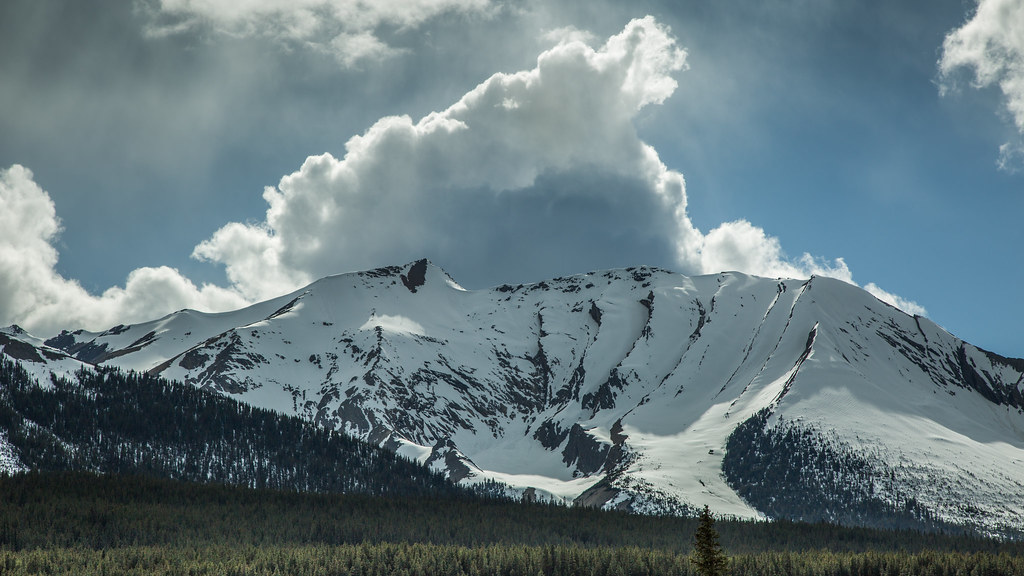
Canadian Rockies
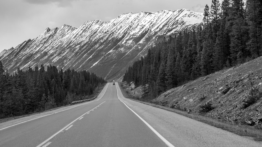
The dream drive
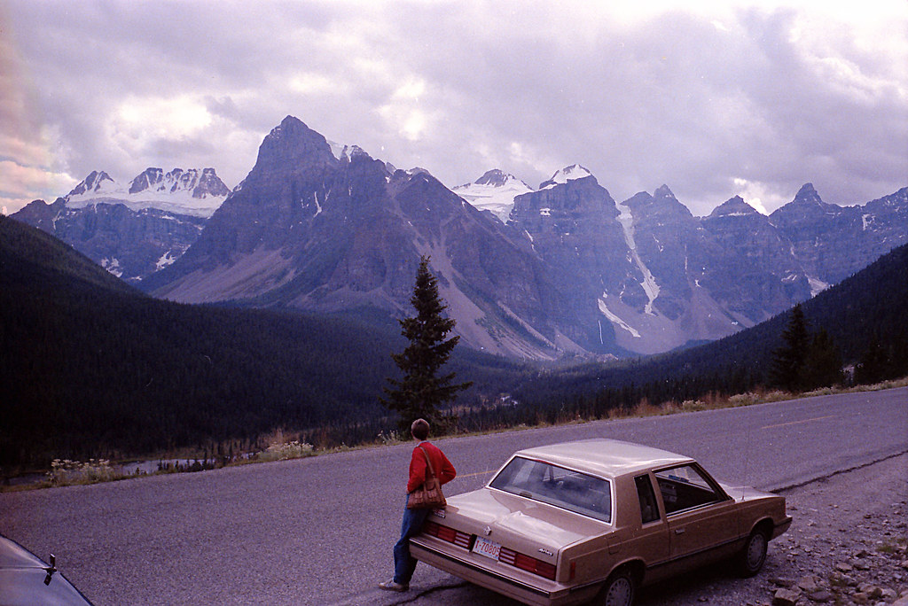
Canada's Icefields Parkway in 1986
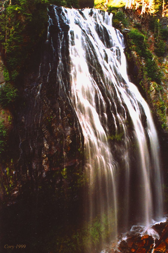
Impressions of a Waterfall

20110720-170133T
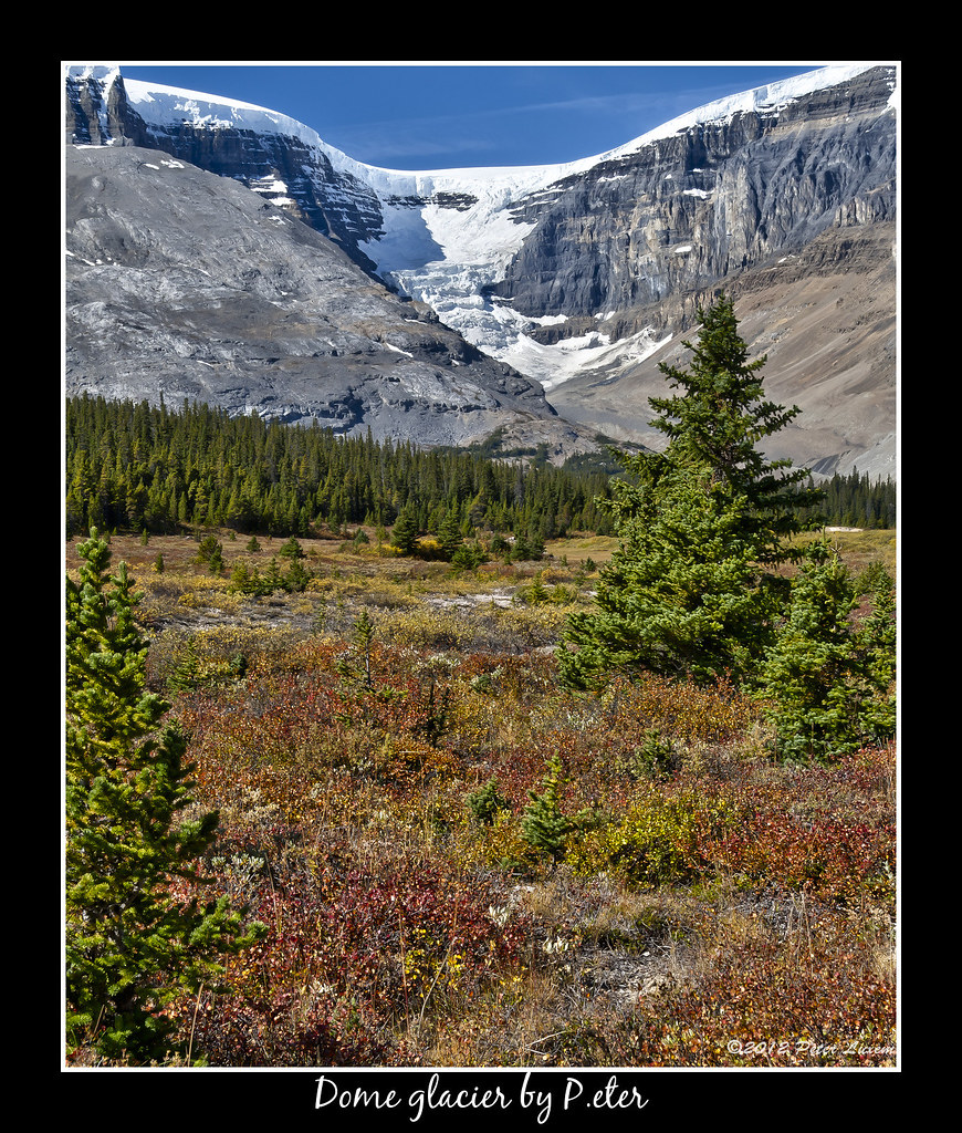
Dome glacier

20110720-171051B

20110720-171118B

20110720-171103B

20110720-171121B

20110720-171134B

20110720-171032T

20110720-171047T

20110720-171108T
Topographic Map of Gong Peak, Improvement District No. 12, AB T0E, Canada
Find elevation by address:

Places near Gong Peak, Improvement District No. 12, AB T0E, Canada:
Mount Mcguire
Mount Weiss
Mount Smythe
Mount Gec
Mount Mitchell
Thorington Tower
Mount Palmer
Mount Adam Joachim
Palmer S2
Mount Alberta
Mount Morden Long
Hi-beauty Creek Wilderness Hostel
Mount Confederation
Stutfield Peak
Replica Peak
Cotter Peak
Sunwapta River
Waterfall Peaks
Mount Massey
Coronet Mountain
Recent Searches:
- Elevation of Corso Fratelli Cairoli, 35, Macerata MC, Italy
- Elevation of Tallevast Rd, Sarasota, FL, USA
- Elevation of 4th St E, Sonoma, CA, USA
- Elevation of Black Hollow Rd, Pennsdale, PA, USA
- Elevation of Oakland Ave, Williamsport, PA, USA
- Elevation of Pedrógão Grande, Portugal
- Elevation of Klee Dr, Martinsburg, WV, USA
- Elevation of Via Roma, Pieranica CR, Italy
- Elevation of Tavkvetili Mountain, Georgia
- Elevation of Hartfords Bluff Cir, Mt Pleasant, SC, USA