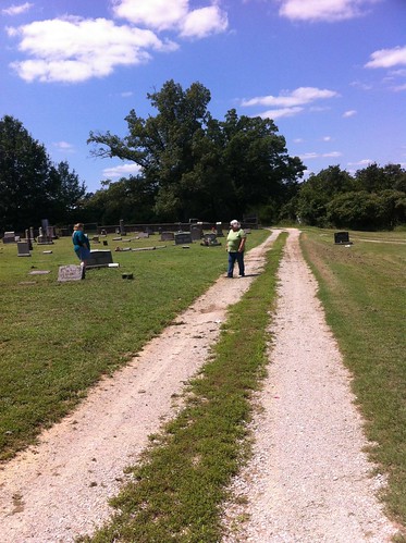
Elevation of CR, Brookland Township, AR, USA
Location: United States > Arkansas > Craighead County > Lester Township >
Longitude: -90.417173
Latitude: 35.95832
Elevation: 71m / 233feet
Barometric Pressure: 100KPa
Related Photos:
Topographic Map of CR, Brookland Township, AR, USA
Find elevation by address:

Places near CR, Brookland Township, AR, USA:
State Hwy, Lake City, AR, USA
Lester Township
CR, Brookland, AR, USA
Brookland Township
Co Rd, Brookland, AR, USA
468 Greene Rd 750
112 Jessica Dr
108 Lynn Cove
112 Teresa Dr
112 Teresa Dr
112 Teresa Dr
102 Janis Dr
Brookland Park
S Holman St, Brookland, AR, USA
Brookland
Pine Knott Church Of Christ
Craighead 799 Road
Brookland Lester, Brookland, AR, USA
Greene Rd, Paragould, AR, USA
Poland Township
Recent Searches:
- Elevation of Corso Fratelli Cairoli, 35, Macerata MC, Italy
- Elevation of Tallevast Rd, Sarasota, FL, USA
- Elevation of 4th St E, Sonoma, CA, USA
- Elevation of Black Hollow Rd, Pennsdale, PA, USA
- Elevation of Oakland Ave, Williamsport, PA, USA
- Elevation of Pedrógão Grande, Portugal
- Elevation of Klee Dr, Martinsburg, WV, USA
- Elevation of Via Roma, Pieranica CR, Italy
- Elevation of Tavkvetili Mountain, Georgia
- Elevation of Hartfords Bluff Cir, Mt Pleasant, SC, USA
